July 22 - 26, 2022
The Sierra is overflowing with lakes: some named, but many not. A few years ago, I saw a photo of one particular lake and knew that I had to go there. True, this is how most trips start – but it’s especially how this one does. It belonged to a nebulous, middle class of lakes that has earned an elevation marking on topographic maps but not a proper name: Lake 10,232. It was described (when it was mentioned at all) as beautiful, solitary, and hard to get to. I didn't need much more convincing than that.
A mountain range can be many things. One of those things is a puzzle. How do you get from here to there? How can you make your way most beautifully, most efficiently, and least dangerously across its wild folds? The Sierra Nevada is a forgiving place, so the answer to these questions is often surprisingly clear: a green ramp through crooked talus, a break in the ridgeline, a flat section of the raging creek.
But 10,232 presents some formidable obstacles, not least of which is that it is about as far from a road as anywhere in the Sierra. For another, it’s situated amidst the exceptionally gnarly and entirely trail-less terrain bracketed by the White and Black Divides. I count six realistic access points, and all of them are a pain in the ass.
In the years between seeing a photo of 10,232 and actually getting myself there, the lake ended up as a waypoint on Andrew Skurka’s Kings Canyon High Basin Route. This may have increased its summer population a little, but Skurka routes you through the most heinous terrain to get there: 6 miles and 4000 feet (!) up or down the famously forbidding, bushwacking sufferfest of Goddard Creek. (This alone may keep the Skurka Effect at bay.)
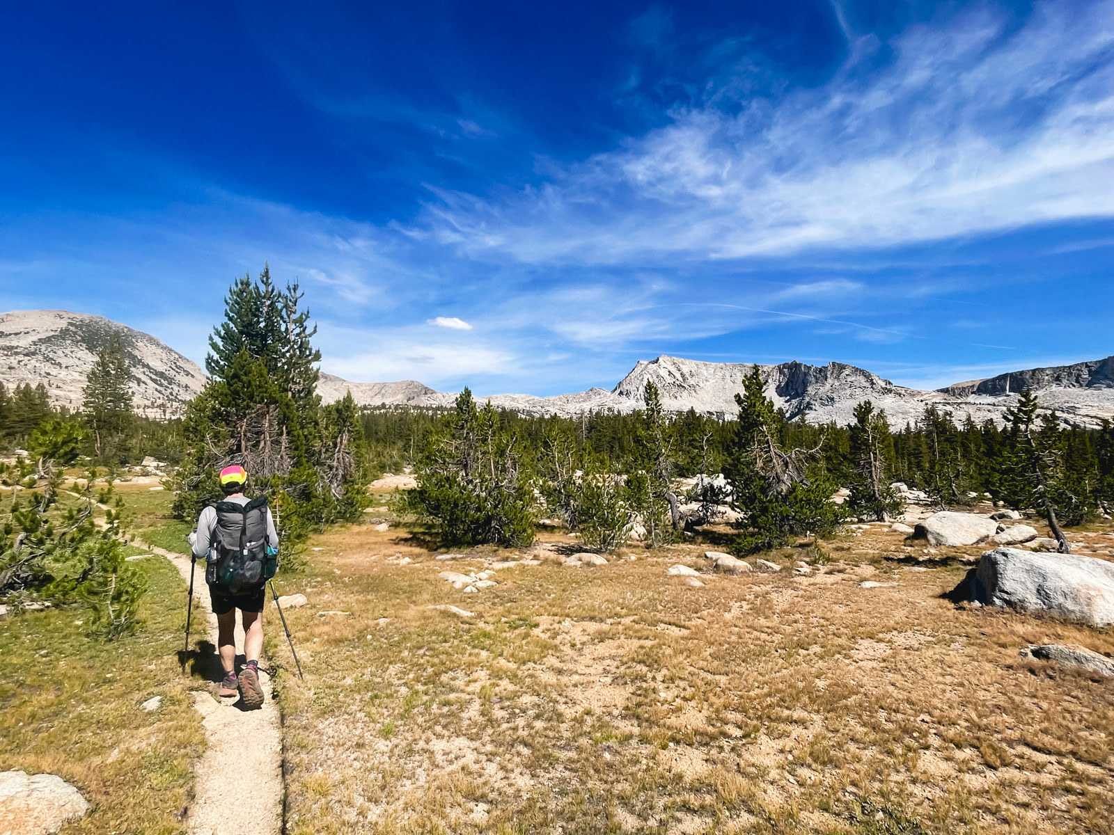
Fortunately, there are slightly less masochistic ways to get there -- but none are quick. Amazingly, our itinerary is one of the faster and easier routes, yet it still took us 27 miles, 7000 feet of elevation gain, and a decent amount of complaining to get there.
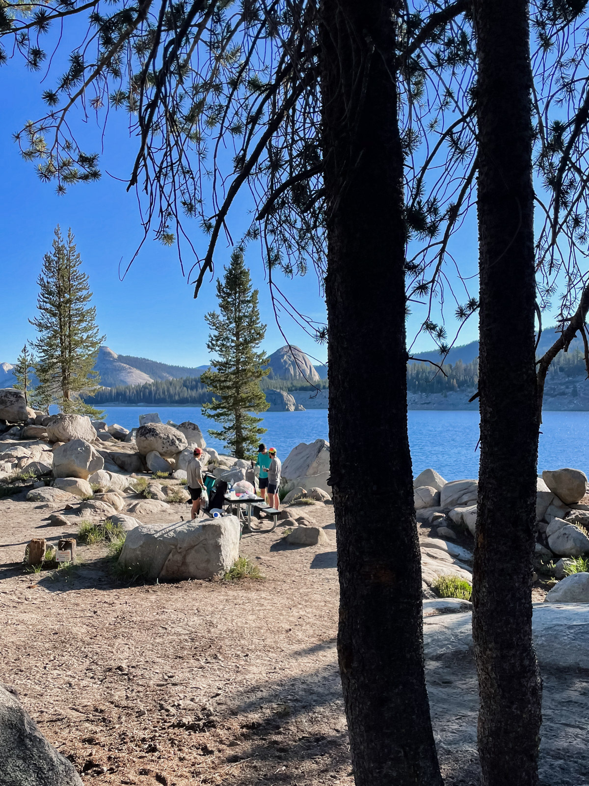
But before all that, we had to get out of the Bay, eat mediocre kebab in Madera and camp at Courtright Reservoir.
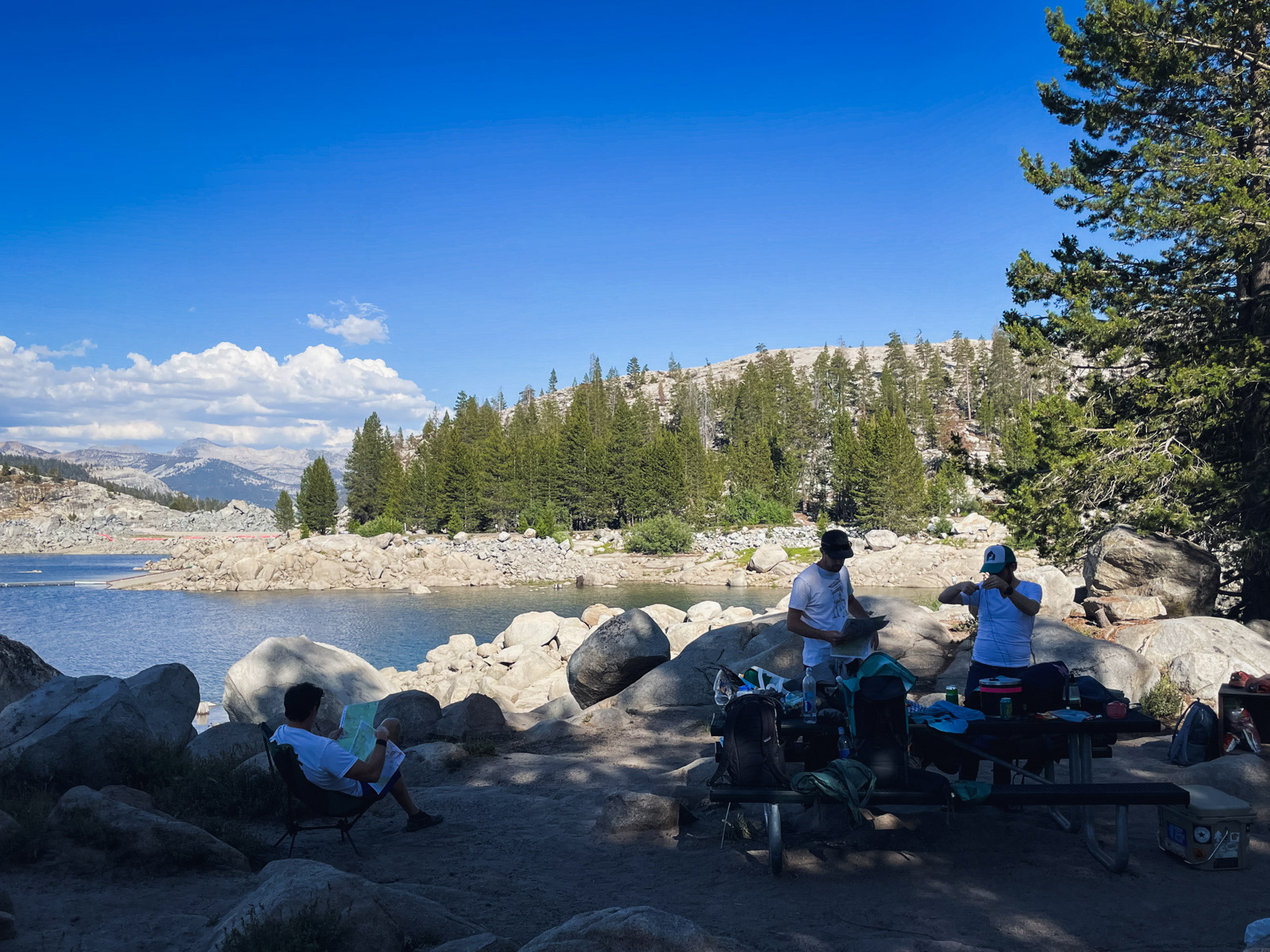
We reached the stunning reservoir by 5 PM.
Courtright is a remarkable and somewhat off the radar area, dotted with glorious Yosemite-like domes. Not unlike the crime of Hetch Hetchy, it’s a little insane that they flooded it.
A trash truck came clanging through the silent campground at 6 AM, which was a bit much. We wrangled with our gear one last time and set off.
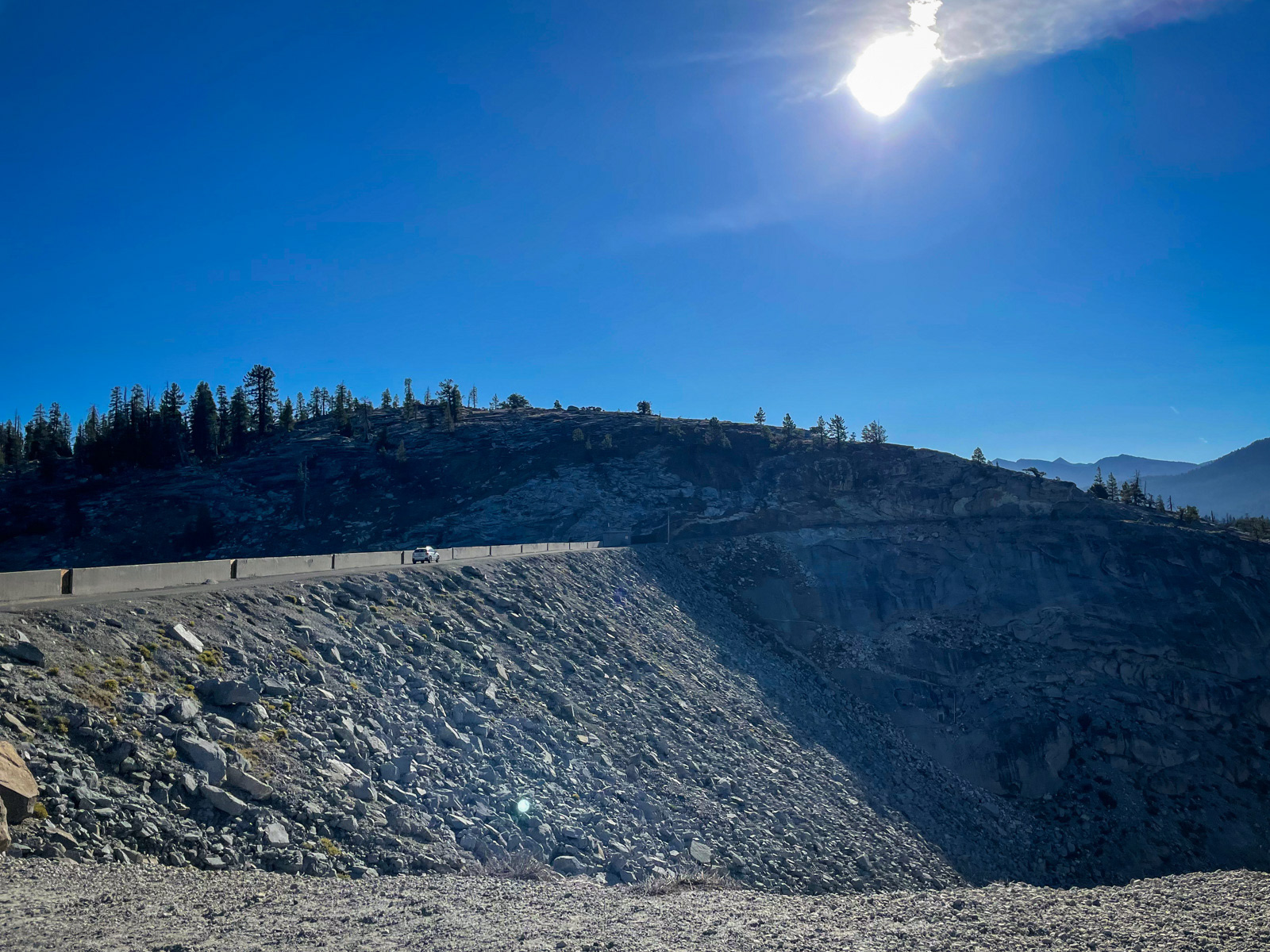
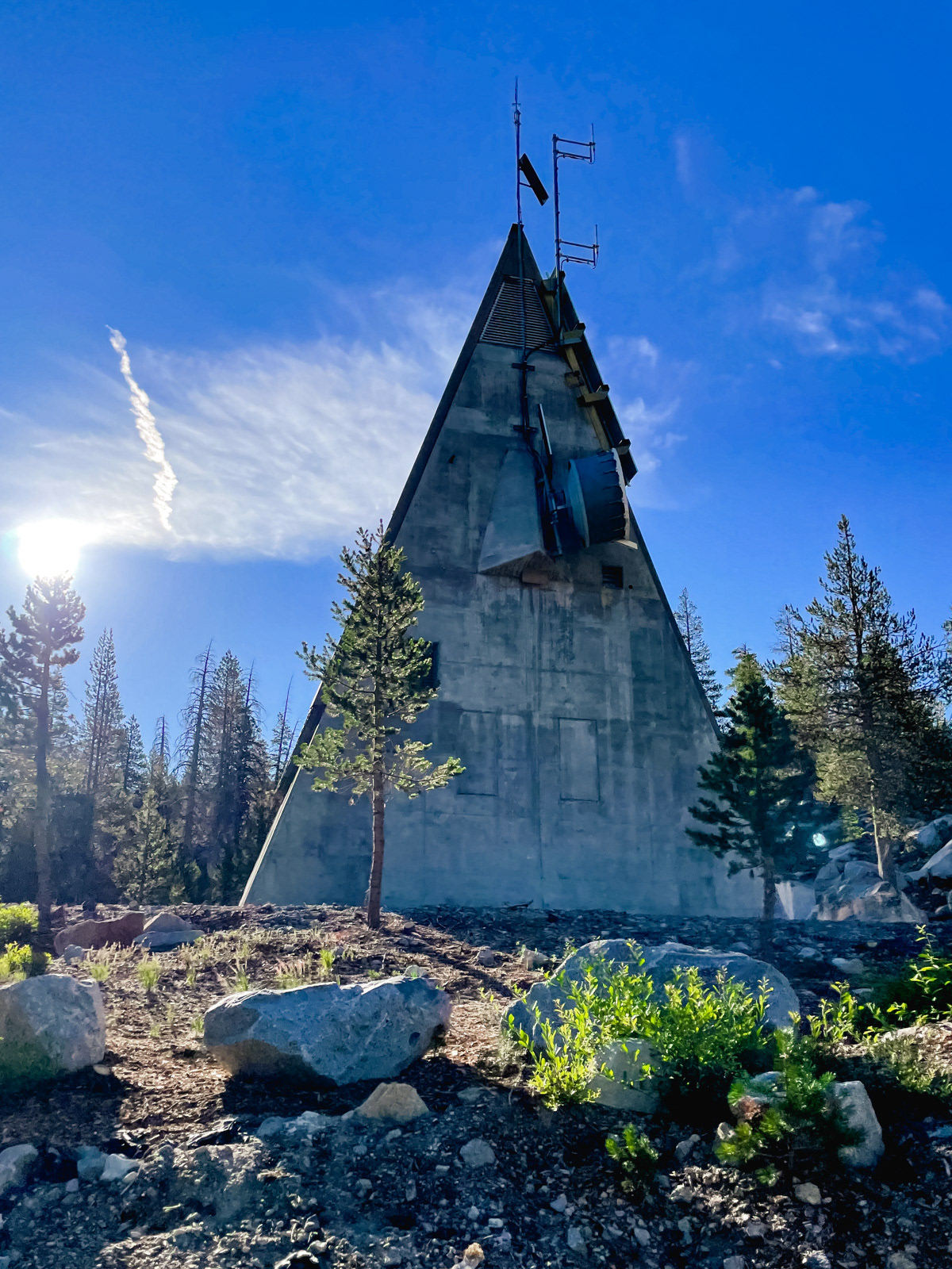
The lake itself is a good 100-200 feet deep, but on the drive over the dam the next morning, we could see just how steeply the canyon plunges at its outlet – over 500 feet of yawning emptiness between us and those rocks!
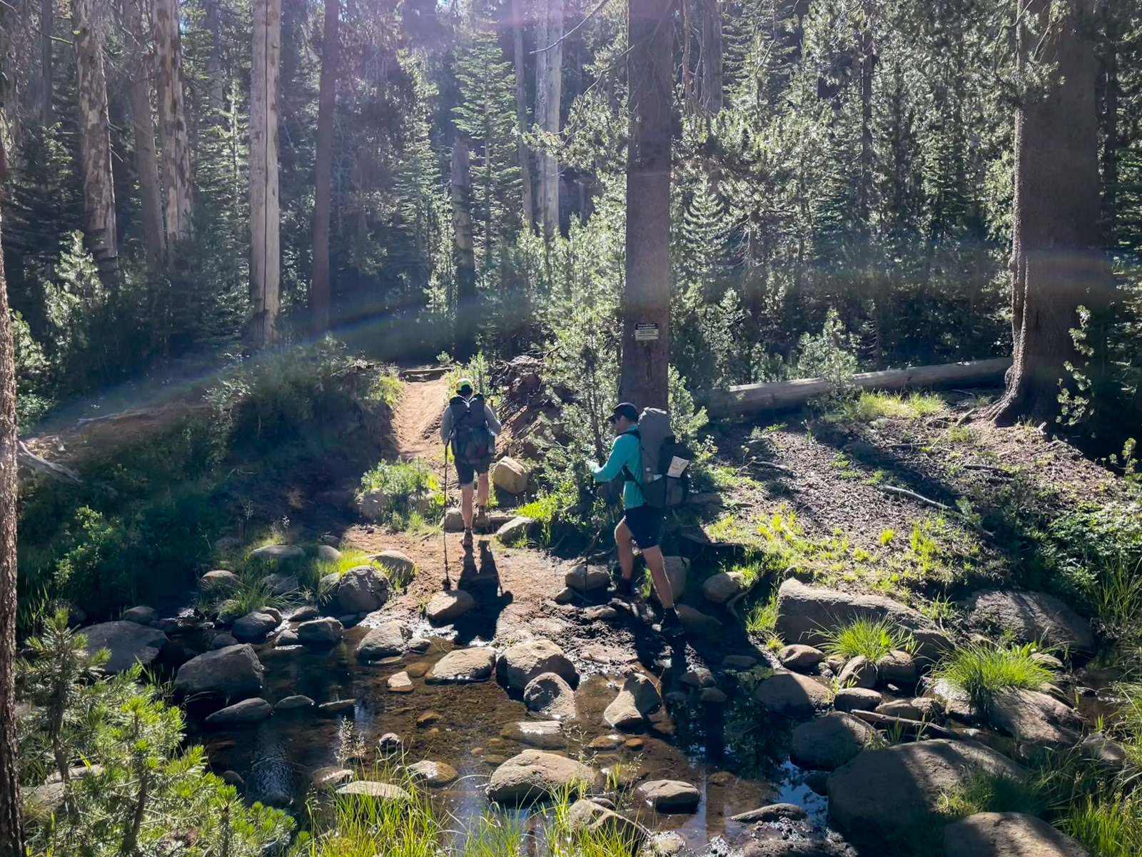
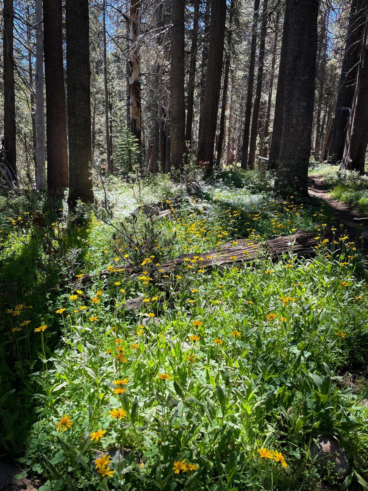
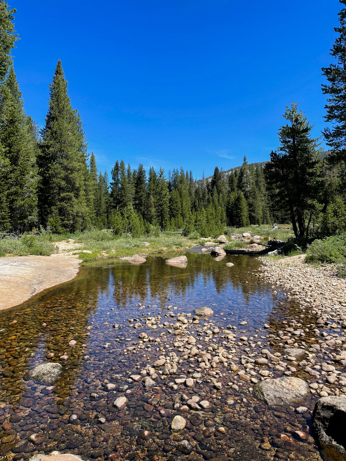
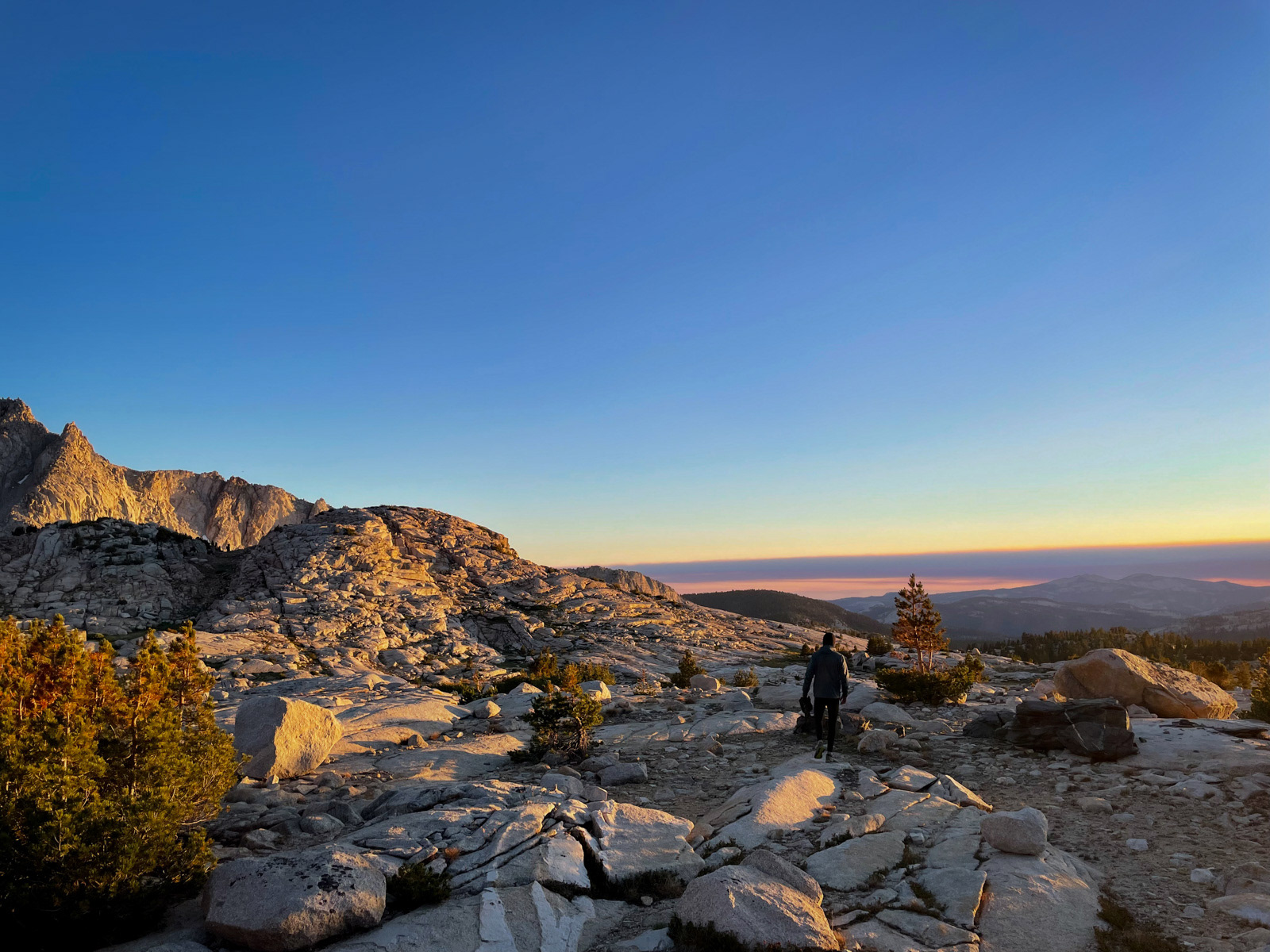
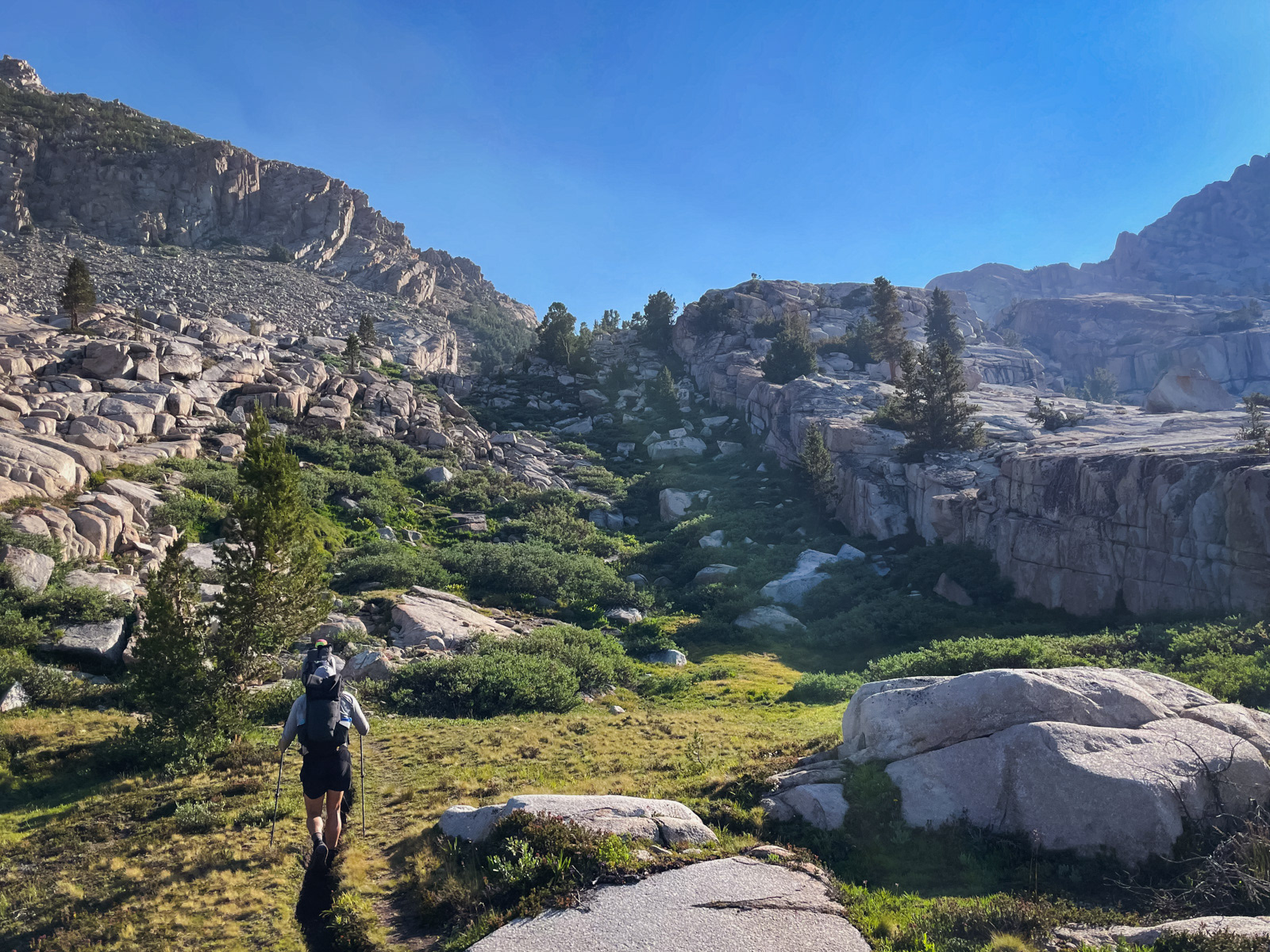
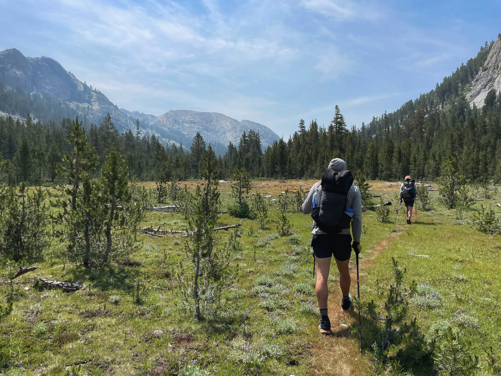
A trip from Courtright begins with a bunch of forested miles. There’s not much to say about them.
There was something to say about my heart: it was racing. Even down here at 8,000-9,000 feet, my heart rate spiked in an unsettling way on any uphill section.
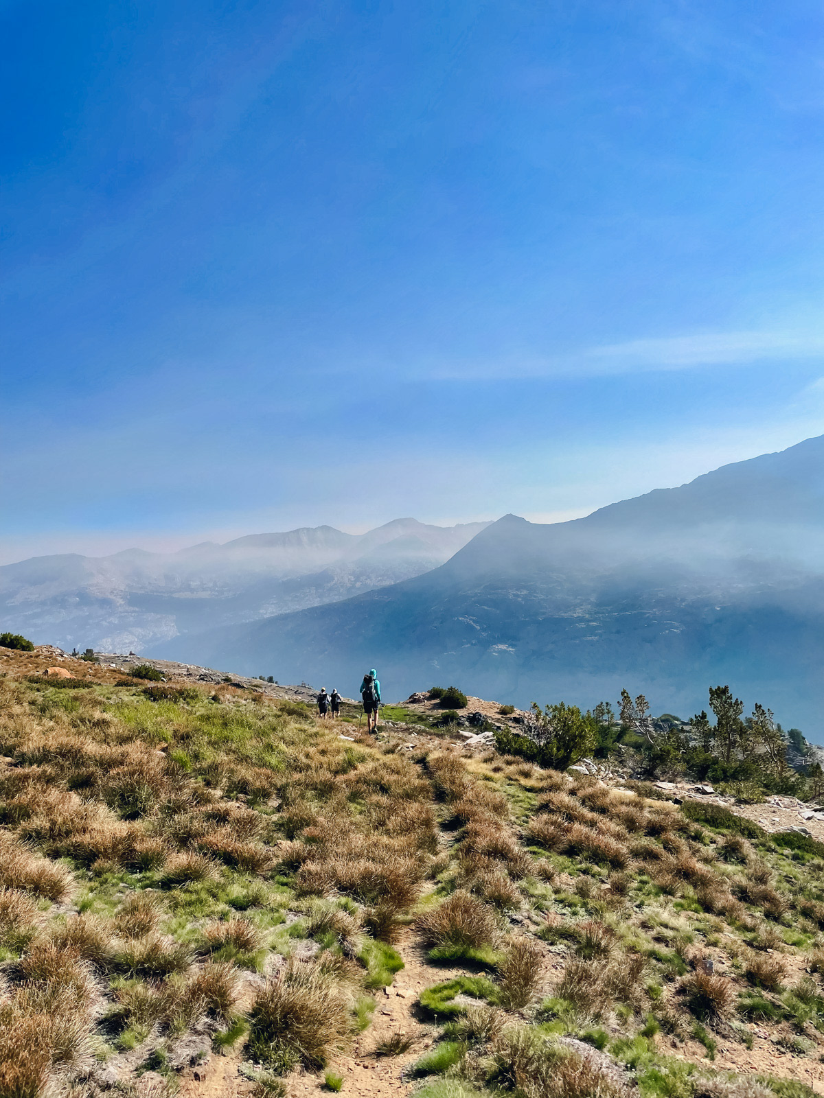
On the first major climb I stopped every few minutes to pant in the brief shade of whatever tree I could find. I was 20 minutes behind the group all the way to Fleming Lake. We took a long break there and I ate a bit, feeling low and concerned. For whatever reason, this mystery condition got better as we hiked on, and was more or less gone by the evening, despite camping close to 11,000 feet! I have no clue what it was about.
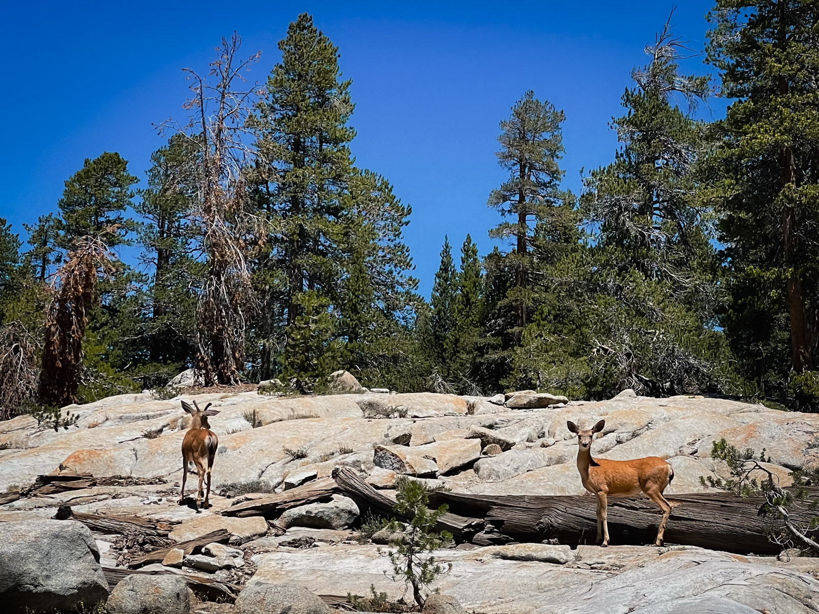
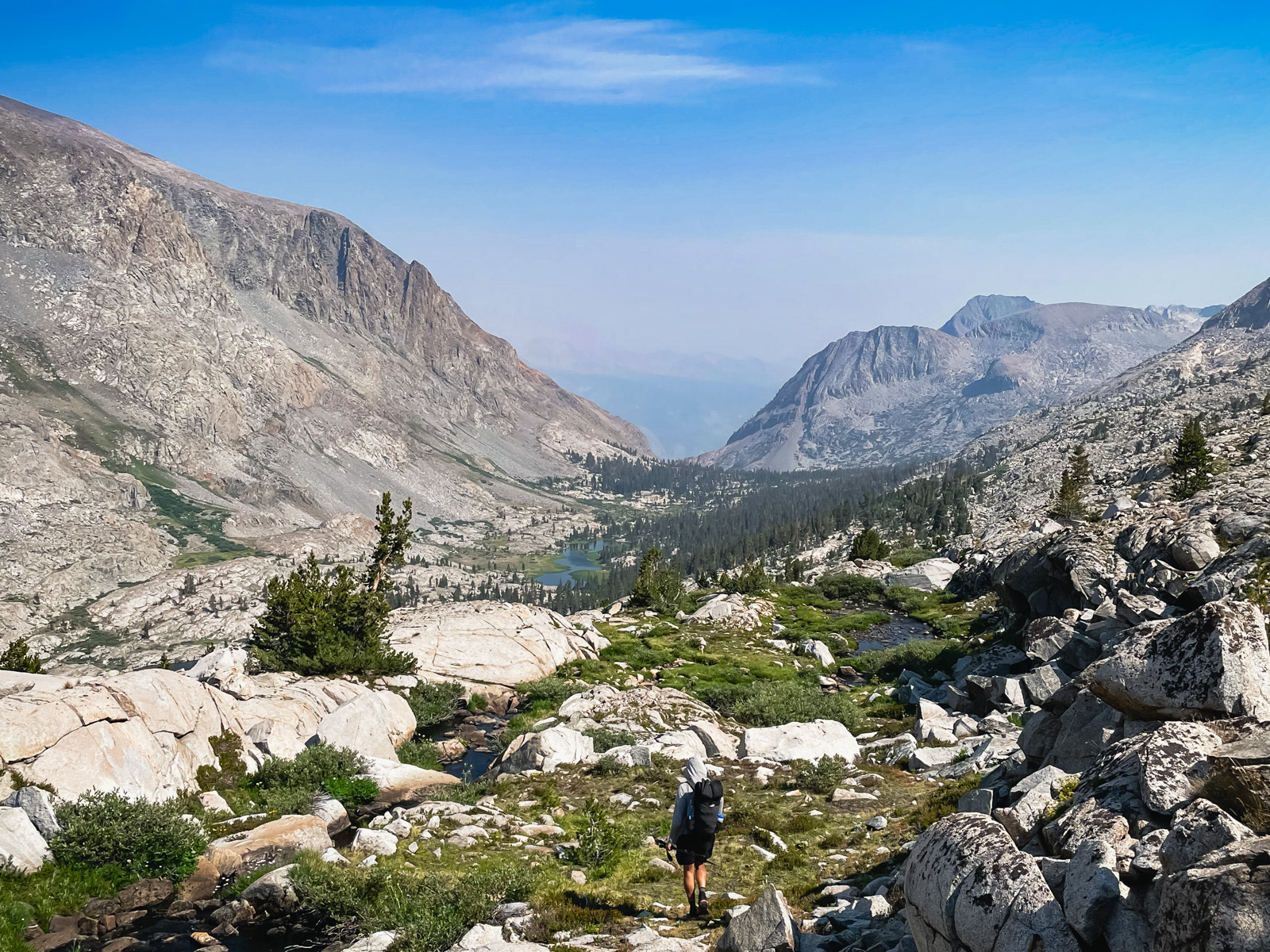
After Fleming, the trees finally parted.
Disappointment Lake, which looks anything but.
Looking back down.
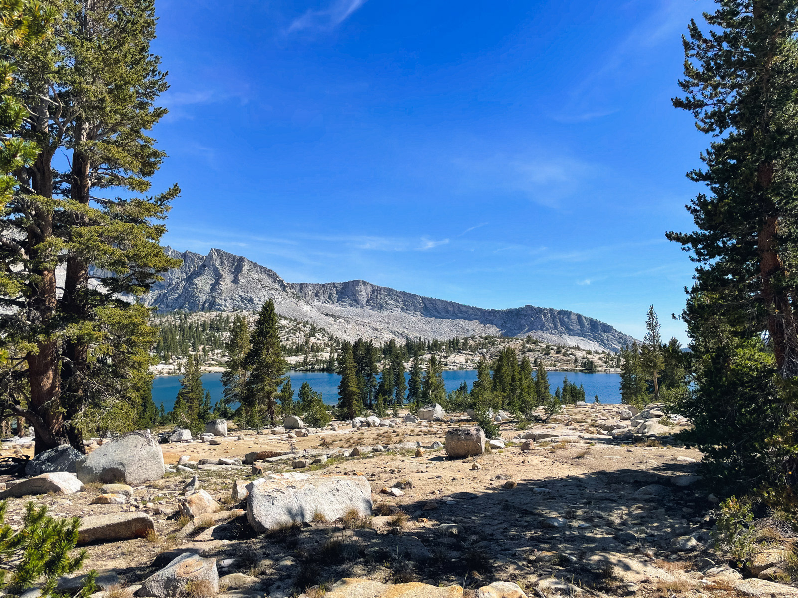
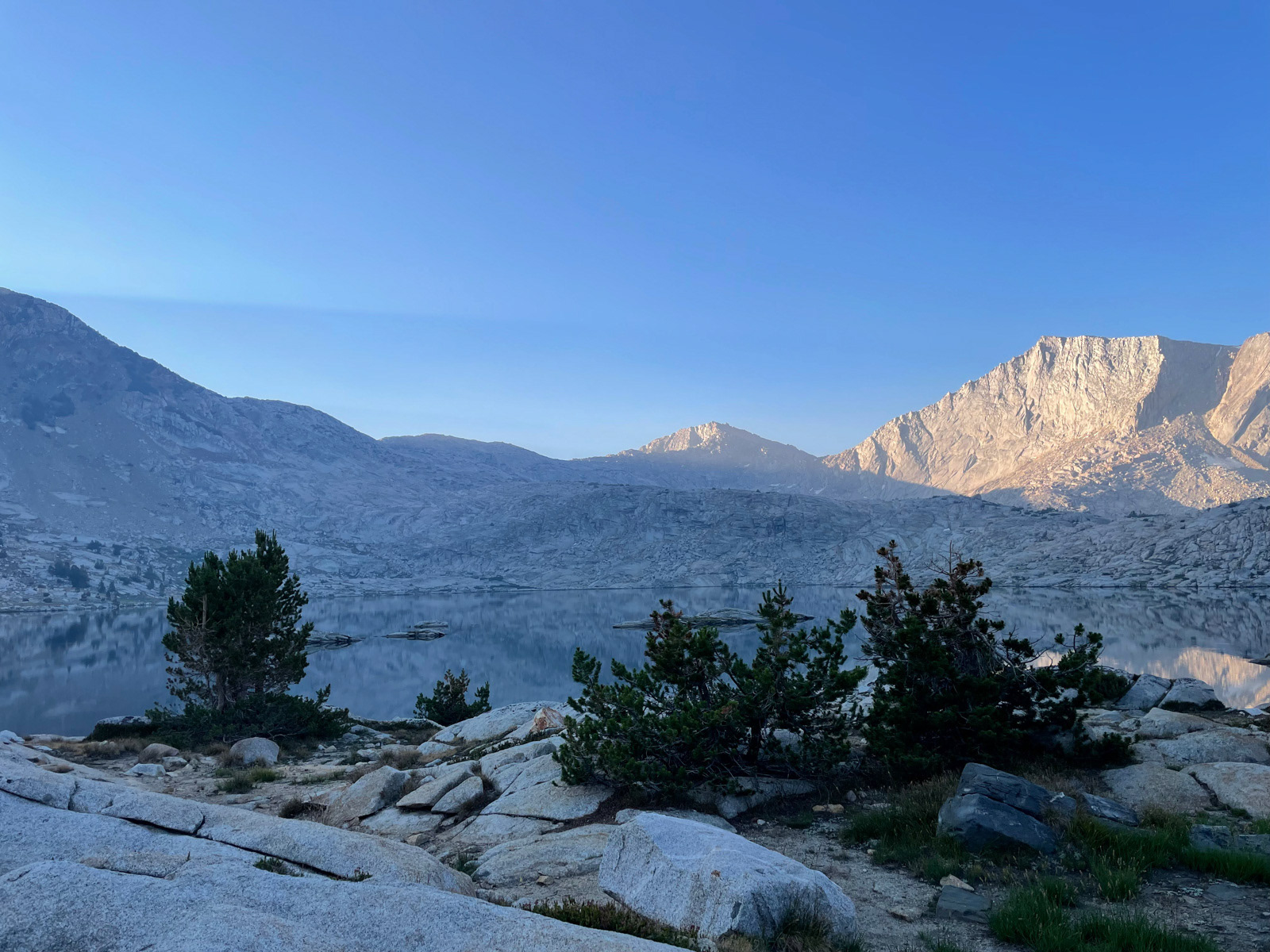
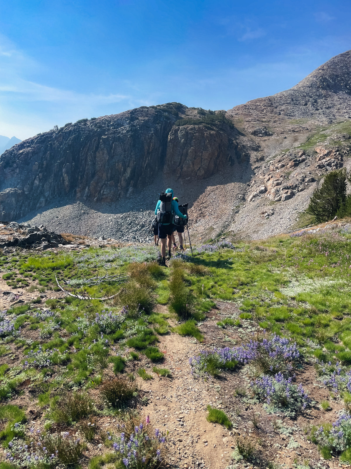
After 15 miles and 4000 feet of gain, we made it to Hell For Sure Lake.
Looking up at tomorrow’s formidable-looking headwall.
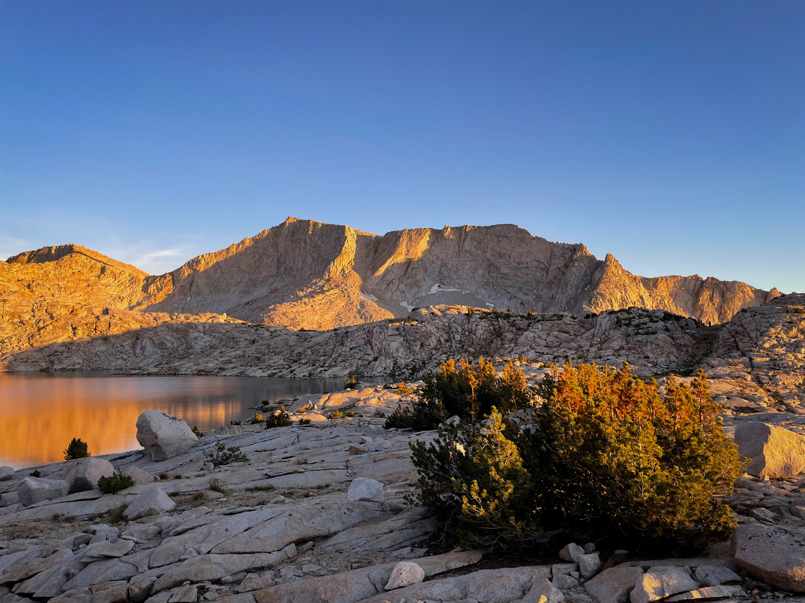
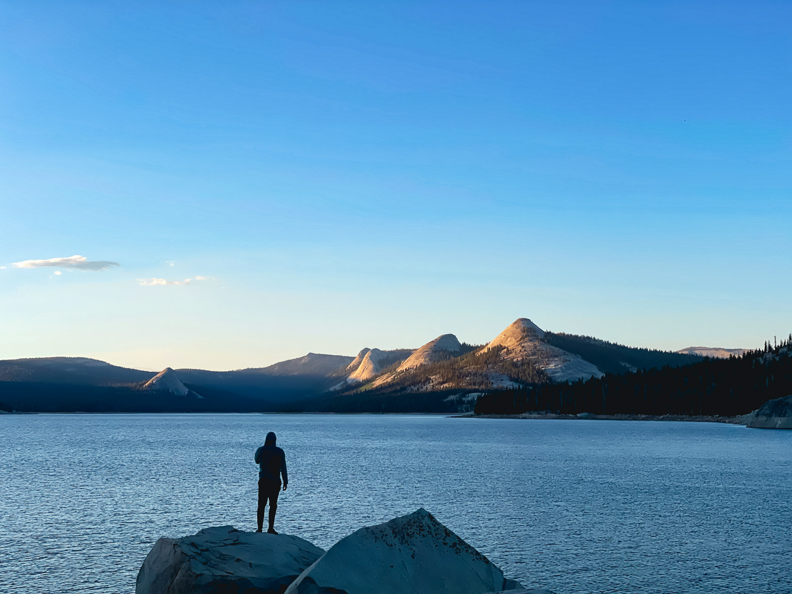
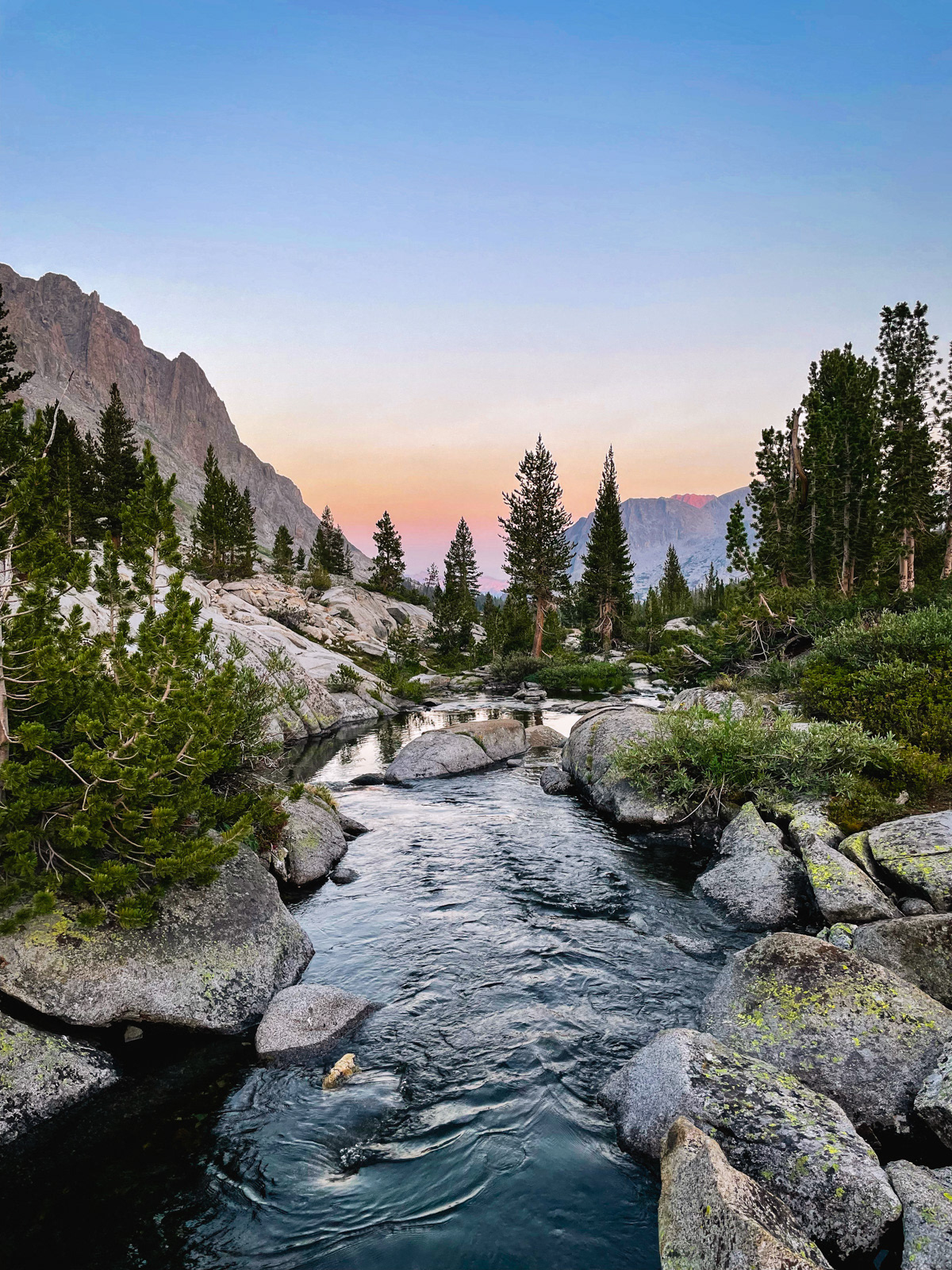
A lovely night watching the light play magic tricks on the LeConte Divide.
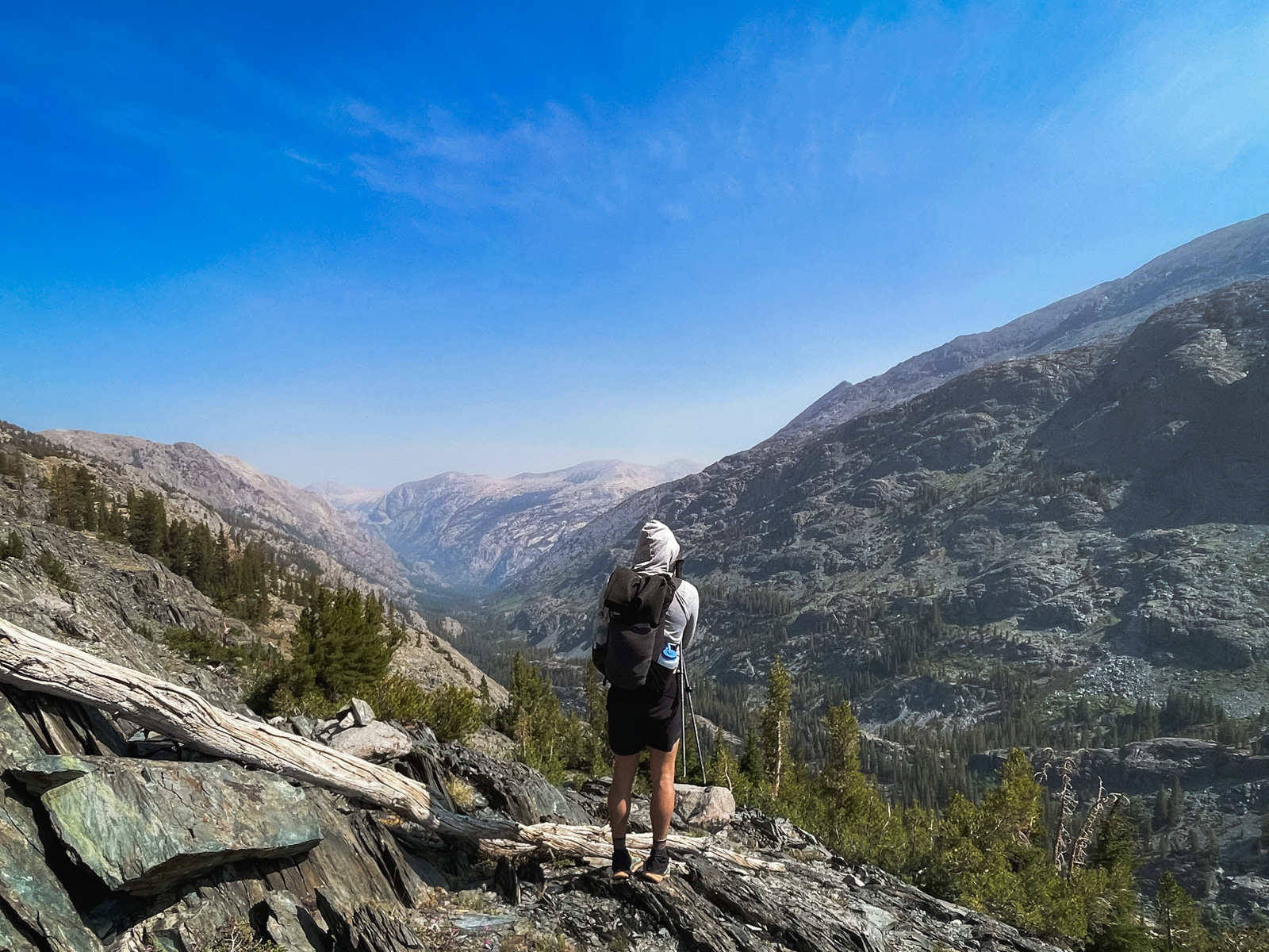
Hell For Sure Lake is an interesting location. On one side you are pressed up against the sheer walls of a massive mountain divide, and on the other you are the tallest thing for… ever? Many locations along the spine of the Sierra’s Western slope share this strange sensation, as if you are at the top of the highest bell tower watching the yawning earth tumble beneath you, down and down through the forest, foothills, Central Valley, and eventually the Pacific Ocean and rest of the world somewhere far beyond.
We were at the doorway of the High Sierra but not yet contained within it.
Goodnight.
I woke in the middle of the night to the smell of smoke, and in the morning the lake was draped in a thin haze. What??
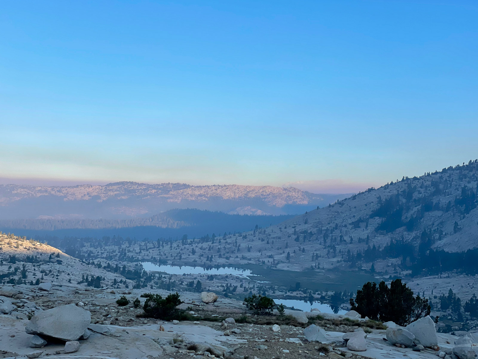
We climbed the minor ridge behind the lake and saw a large plume in the distance.
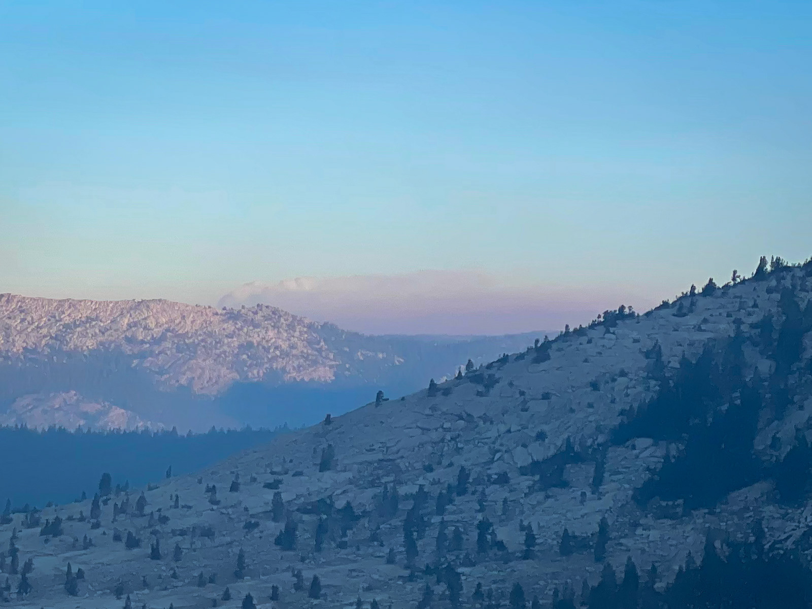
ENHANCE.
A few texts via InReach told us that this was the Oak Fire, and had started the afternoon prior. So the band of grey "smog" the night before that we had ascribed to a polluted Central Valley had actually been (at least partially) a whole lot of shitty new smoke.
I was very frustrated. Many of my recent trips had been marred by smoke. That's why I was out here in July to begin with, when the heat of summer had theoretically not dried the drought-stricken earth to a tinder box just yet. To have seemingly missed this narrowing window between ice and fire even on July 22 was supremely discouraging.
But what could we do? We packed up and were immediately climbing the steep gully to Hell For Sure Pass, which carries hikers across the LeConte Divide.
“Little Joe” LeConte was one of the most accomplished of the early white Sierra explorers: he undertook important mapping of the range, claimed many first ascents, and helped conceive of the “High Mountain Route” that became the John Muir Trail.
He also traversed Hell For Sure Pass several times, but it’s a little ironic that the ridge it crosses is named after him*, as the pass was an out of the way backup plan for LeConte while he searched for a more direct route across the gnarly, metamorphic Goddard Divide. (He and others eventually found it in Muir Pass.)
*It’s actually named after his super racist father, but let’s pretend that it’s not :)
A brilliant lake at the edge of the kingdom.
The trail was quite good despite its hell-ish name. Given the available terrain, it’s likely based on the trail roughly constructed by LeConte and his compatriots 120 years ago (and likely a native trail that preceded them). Soon enough we were on top, and looking out on a super smoky Goddard Canyon.
I had hoped that the interior of the Sierra would be less impacted by the fire, but the opposite was true. I found this hugely dispiriting and was having a hard time rolling with the punches (which might be the most important ingredient for a successful encounter with wilderness).
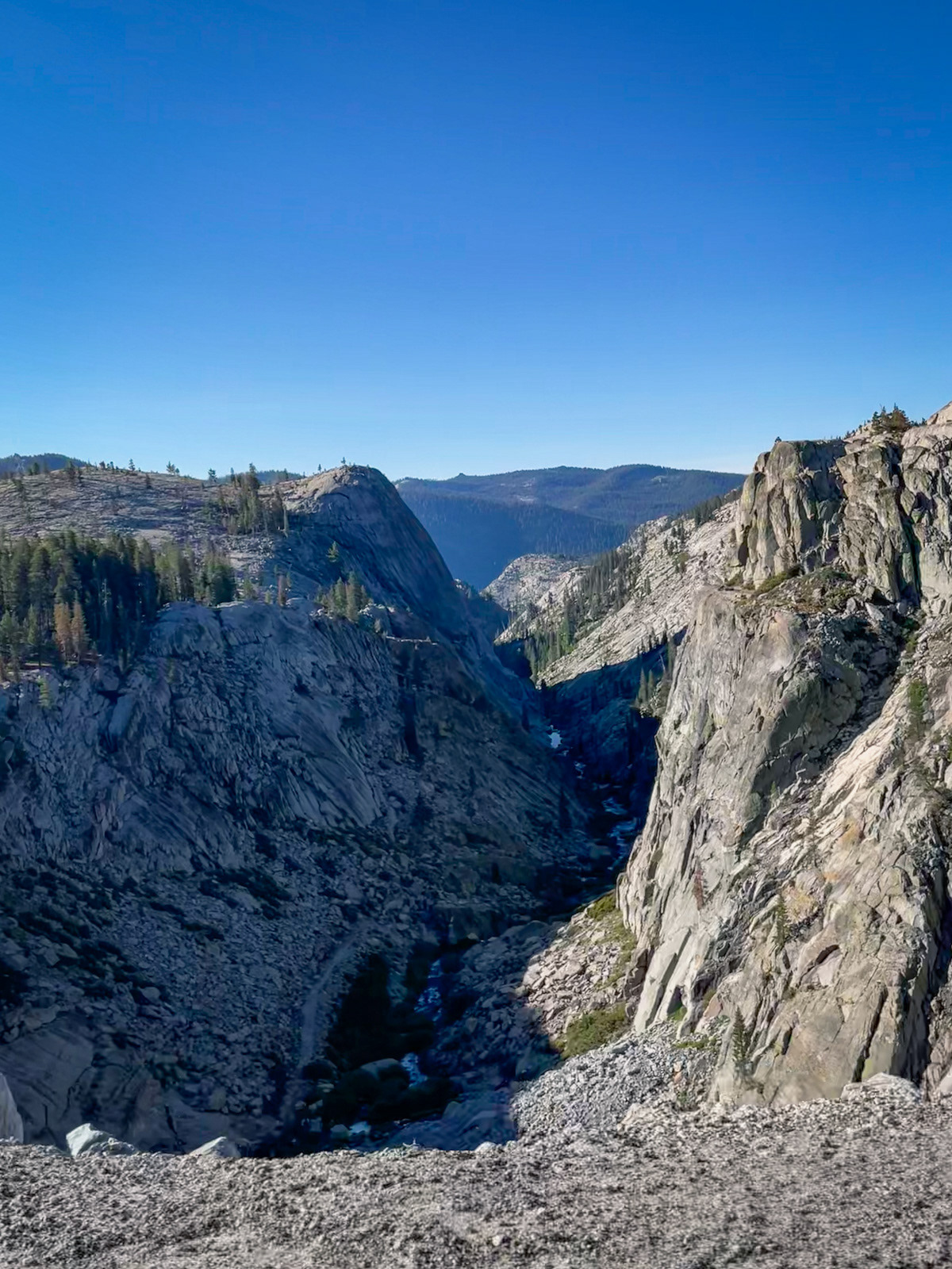
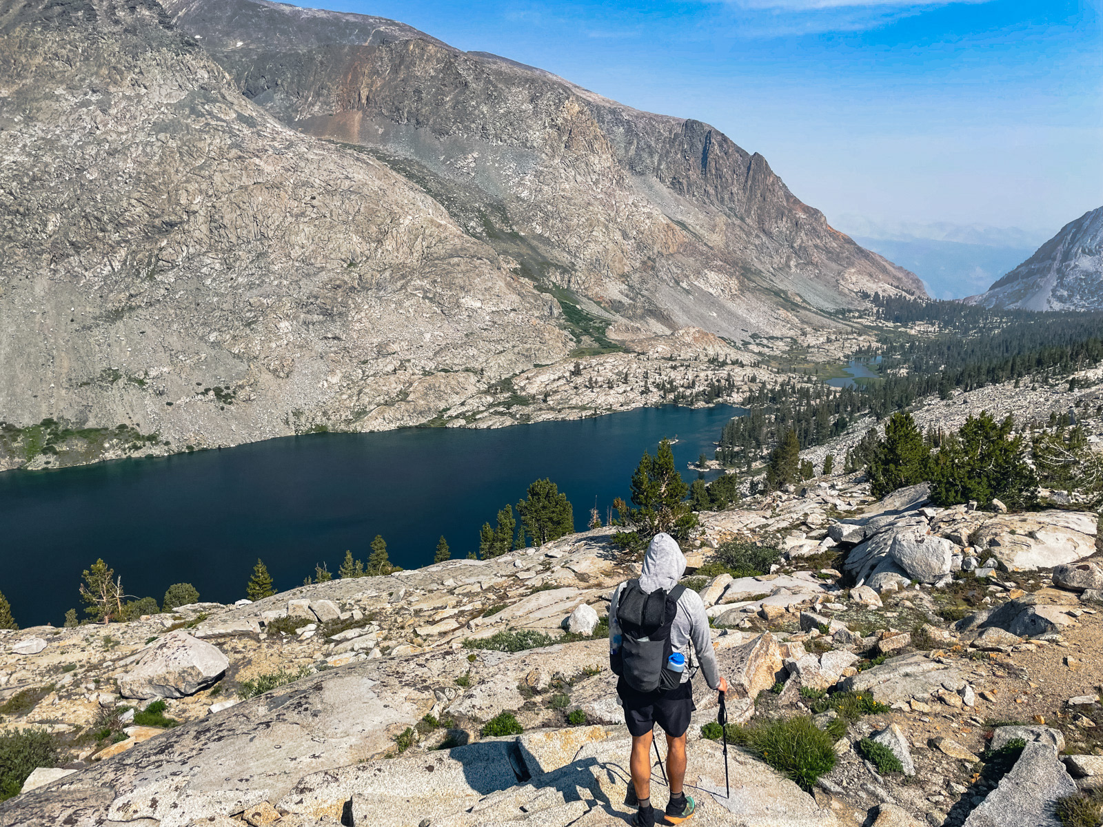
Fortunately, the east side of the pass is absolutely gorgeous, with wide open views down Goddard Canyon and beyond.
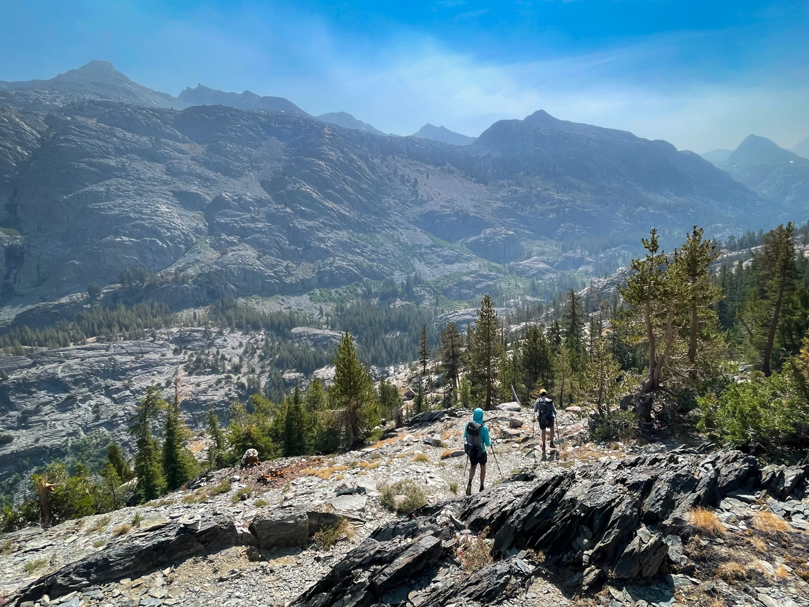
It’s also a surprisingly brutal trail, even as a descent. The trail is sparse and easy to lose in places, but cliffy enough that you wouldn’t want to freelance your way down the hillside: you kinda need to stay with the iffy trail.
On top of that, there is somehow 500 feet of climbing on this “descent,” which traverses above the canyon for a surprisingly long time. In fact, it’s almost 4 miles from the pass to the canyon floor!
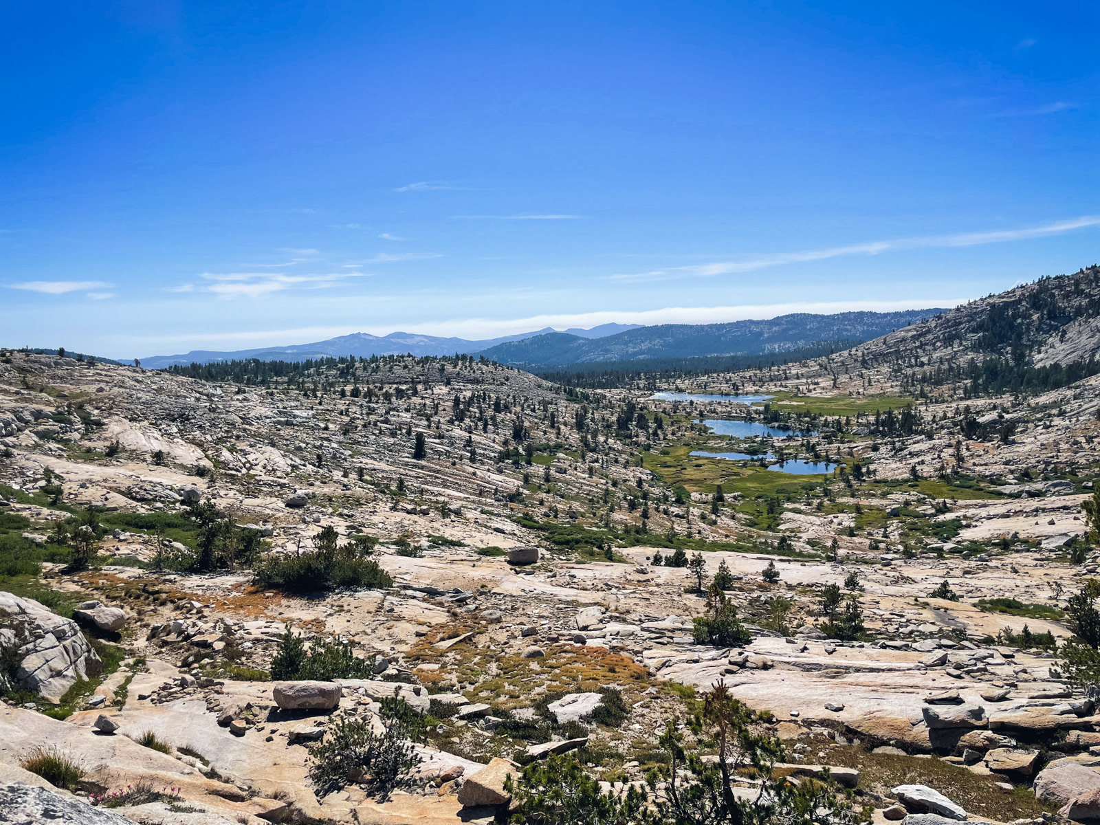
We finally bottomed out at Goddard Canyon and started climbing through the hot, still morning.
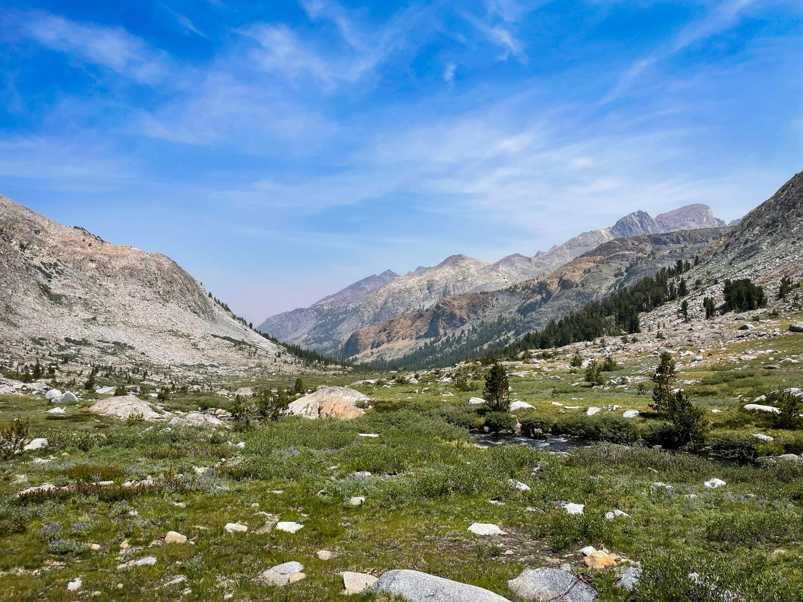
Eventually a south wind picked up as we wandered the now trail-free canyon. Fortunately for my bad attitude, it seemed a bit less smoky, too.
Almost there.
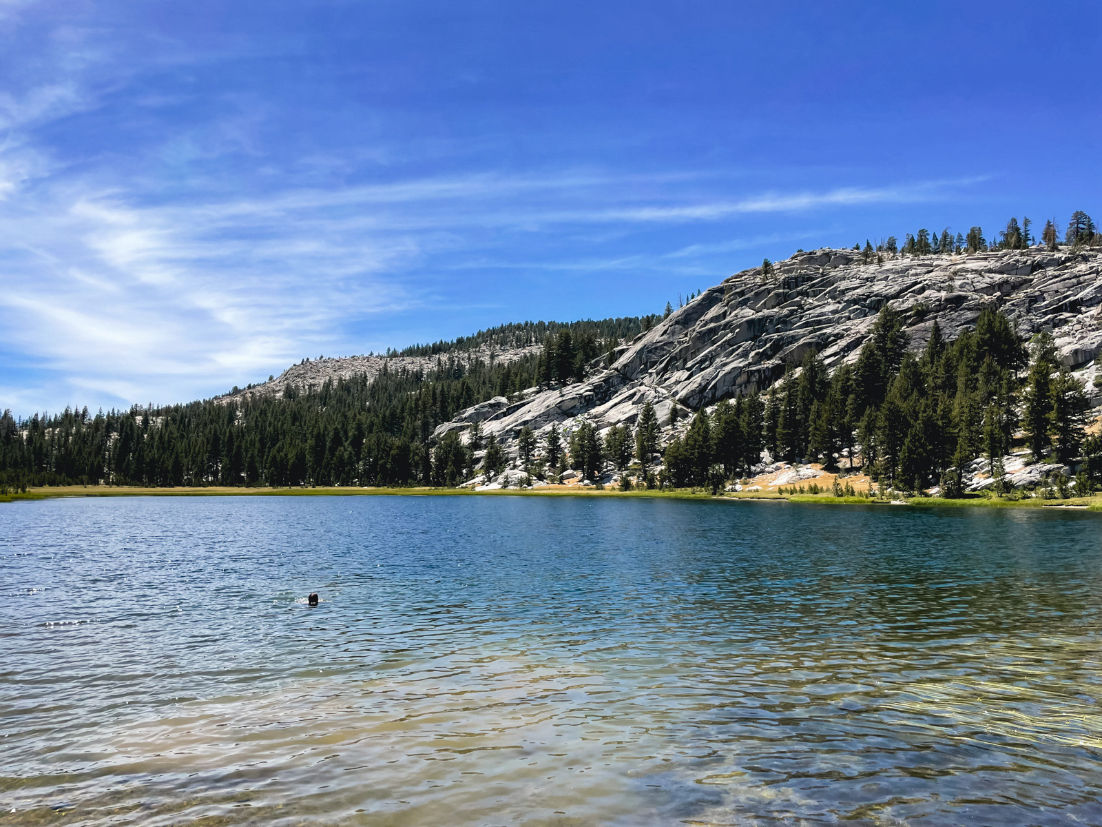
We took a long break at austere Martha Lake.
The large talus along the southern shore of Martha looks like trouble, but was surprisingly stable.
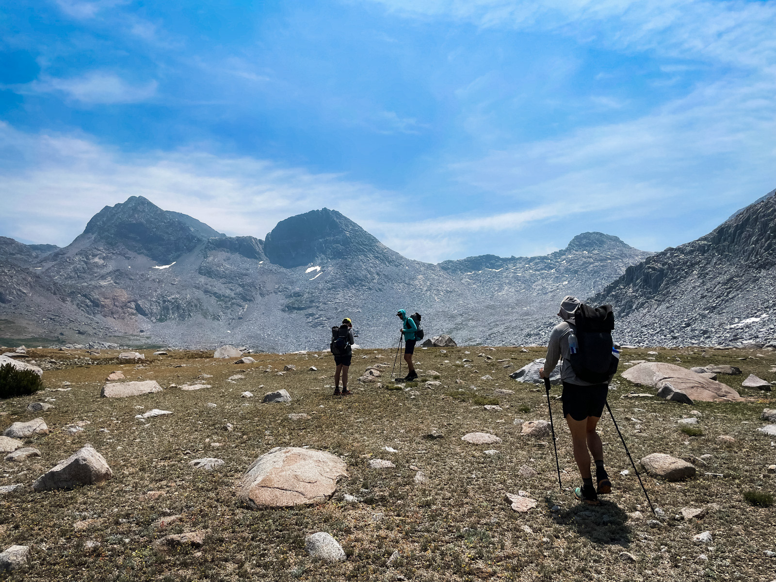
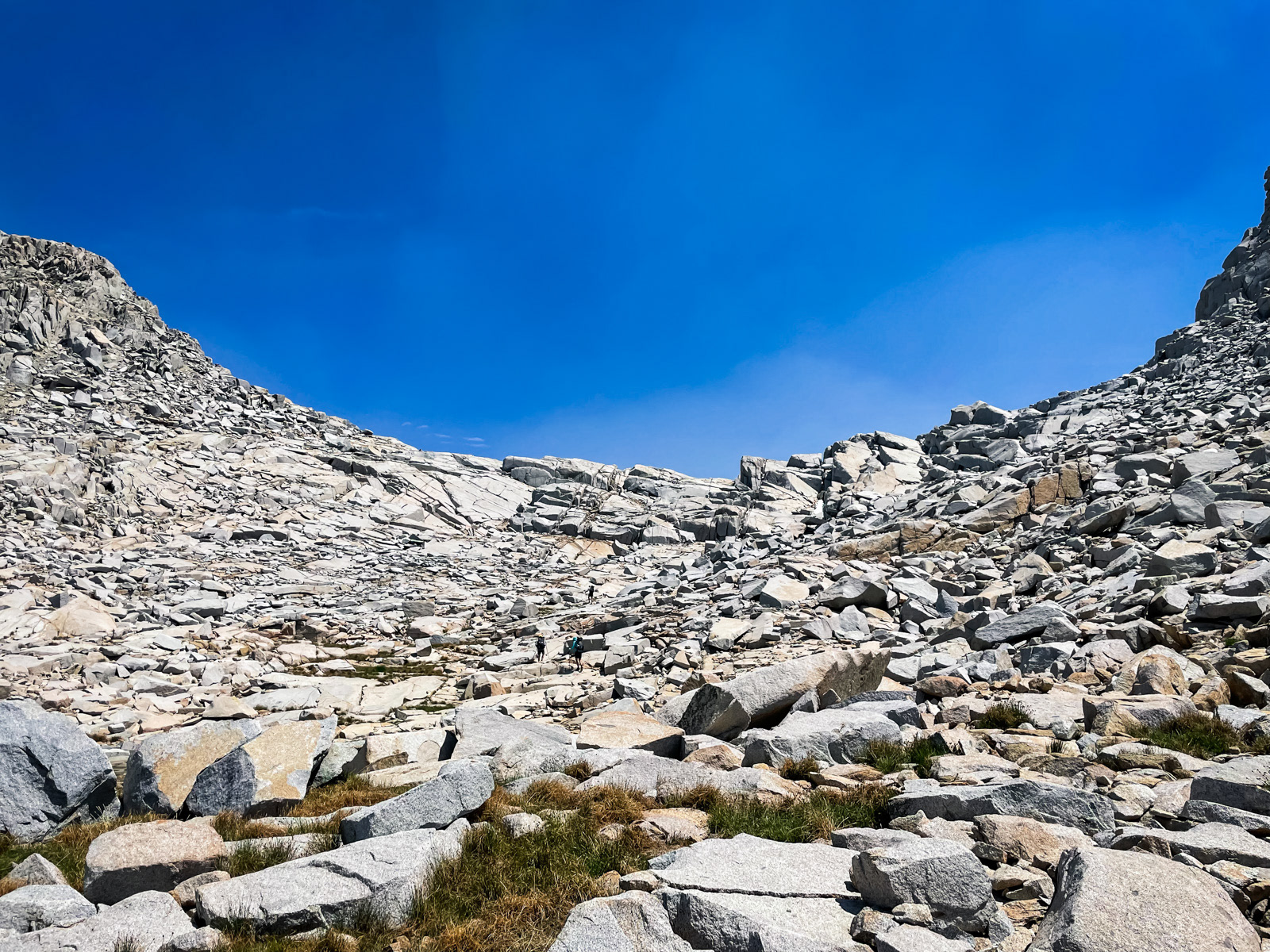
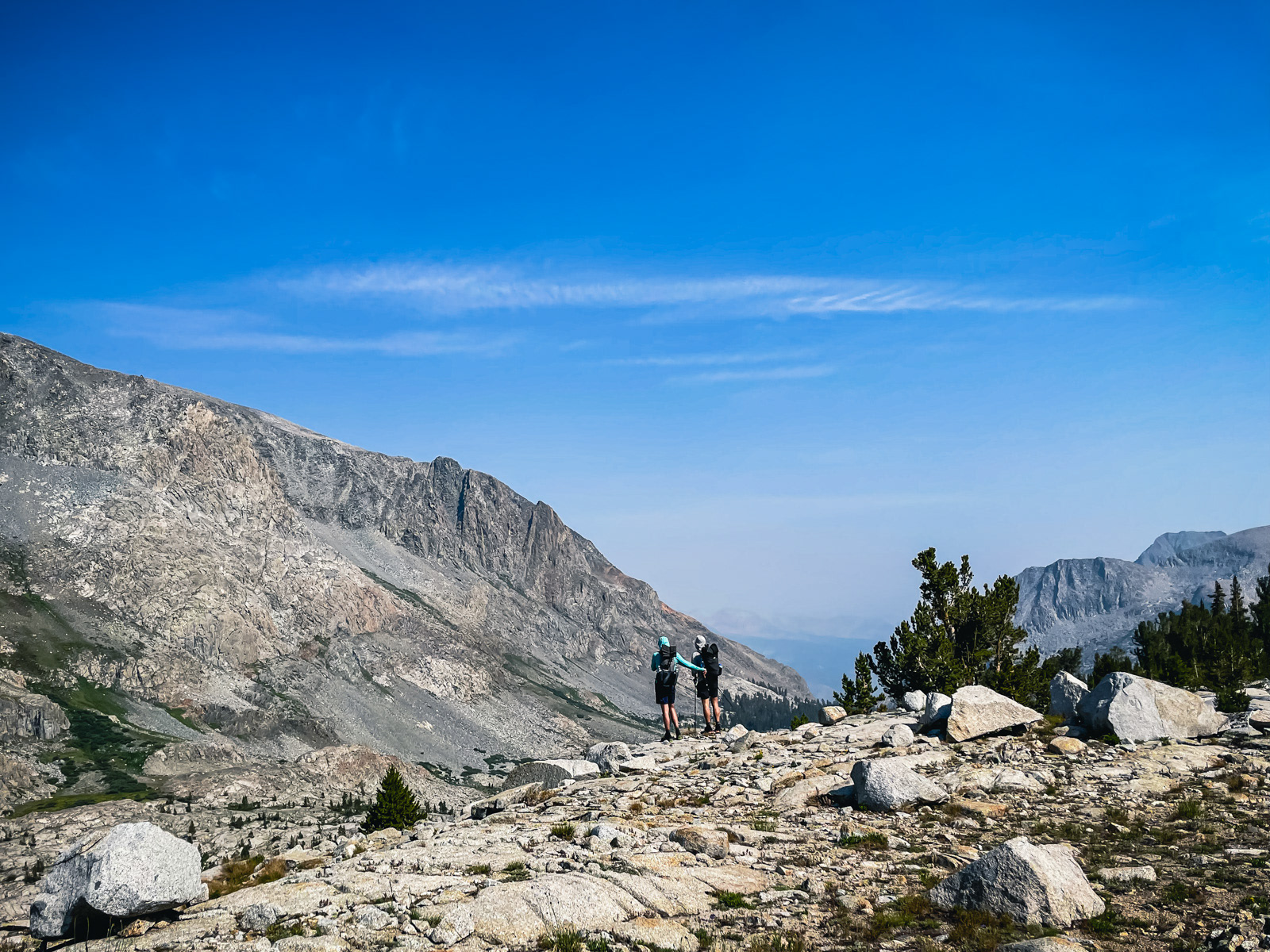
We started up Reinstein Pass, which was easy on this side, at least by the standards of an off trail, high country slog.
Martha.
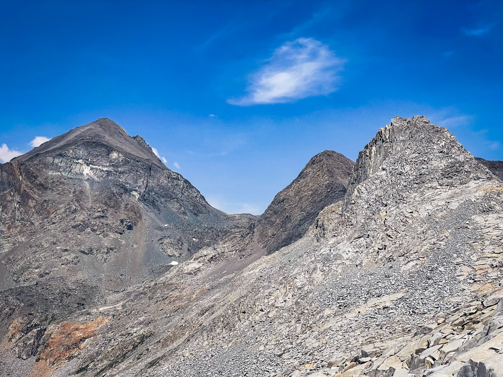
Looking across to the dark form of Mount Goddard (left).
Still climbing.
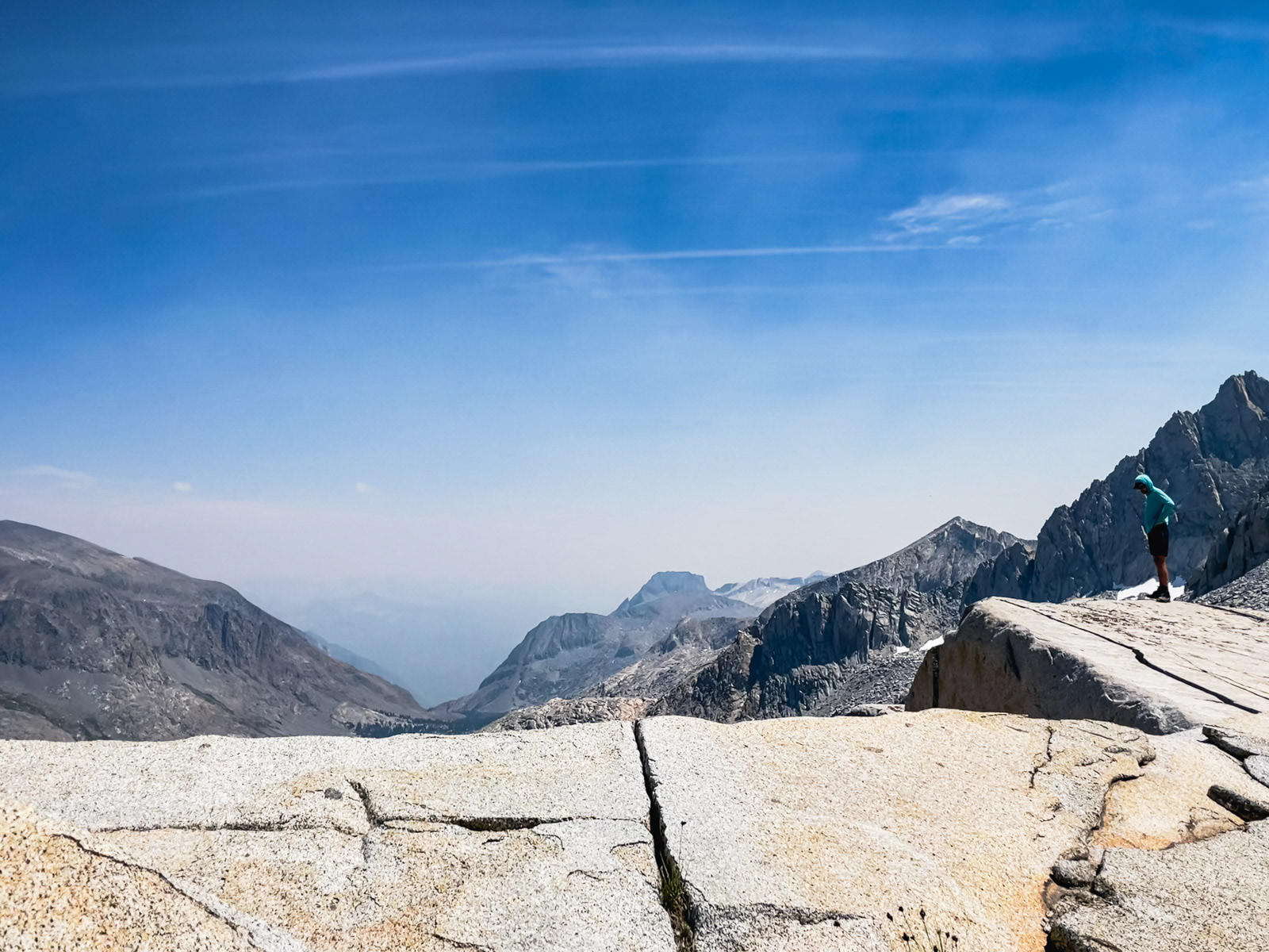
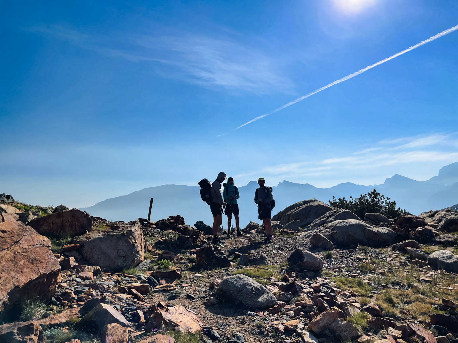
We took a long break at the top of the pass. This was the highest point of the trip, around 11,900 feet.
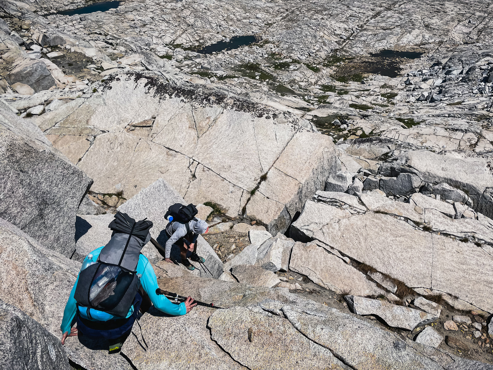
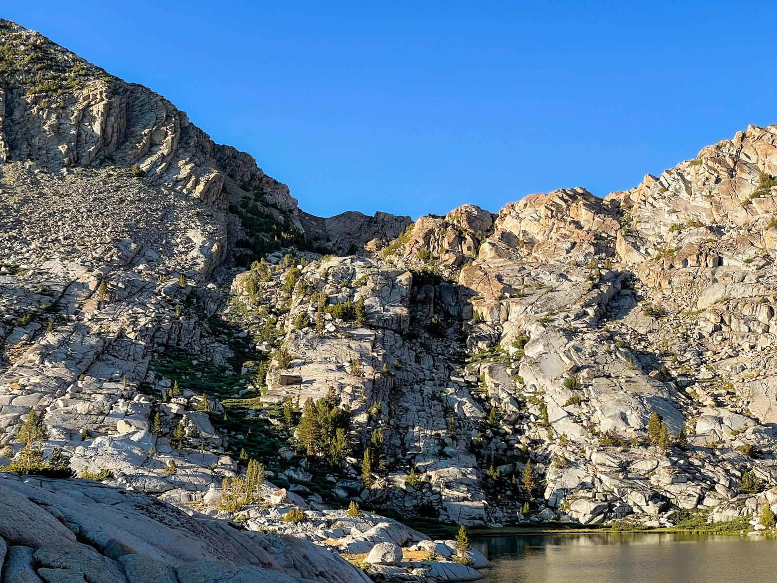
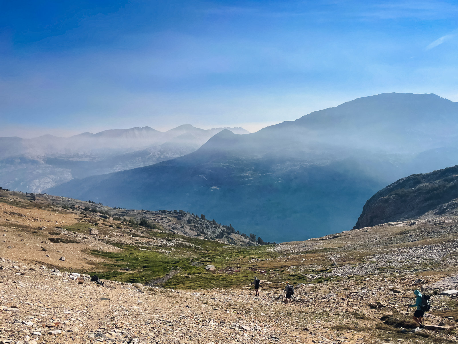
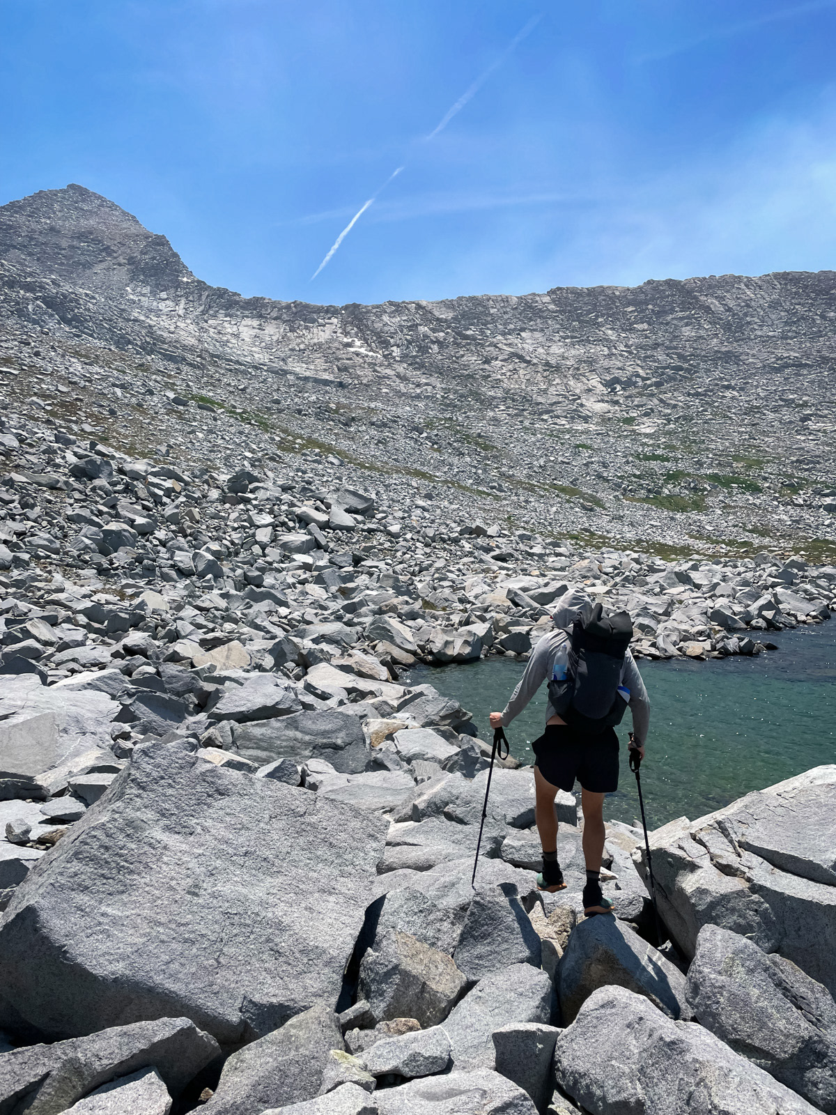
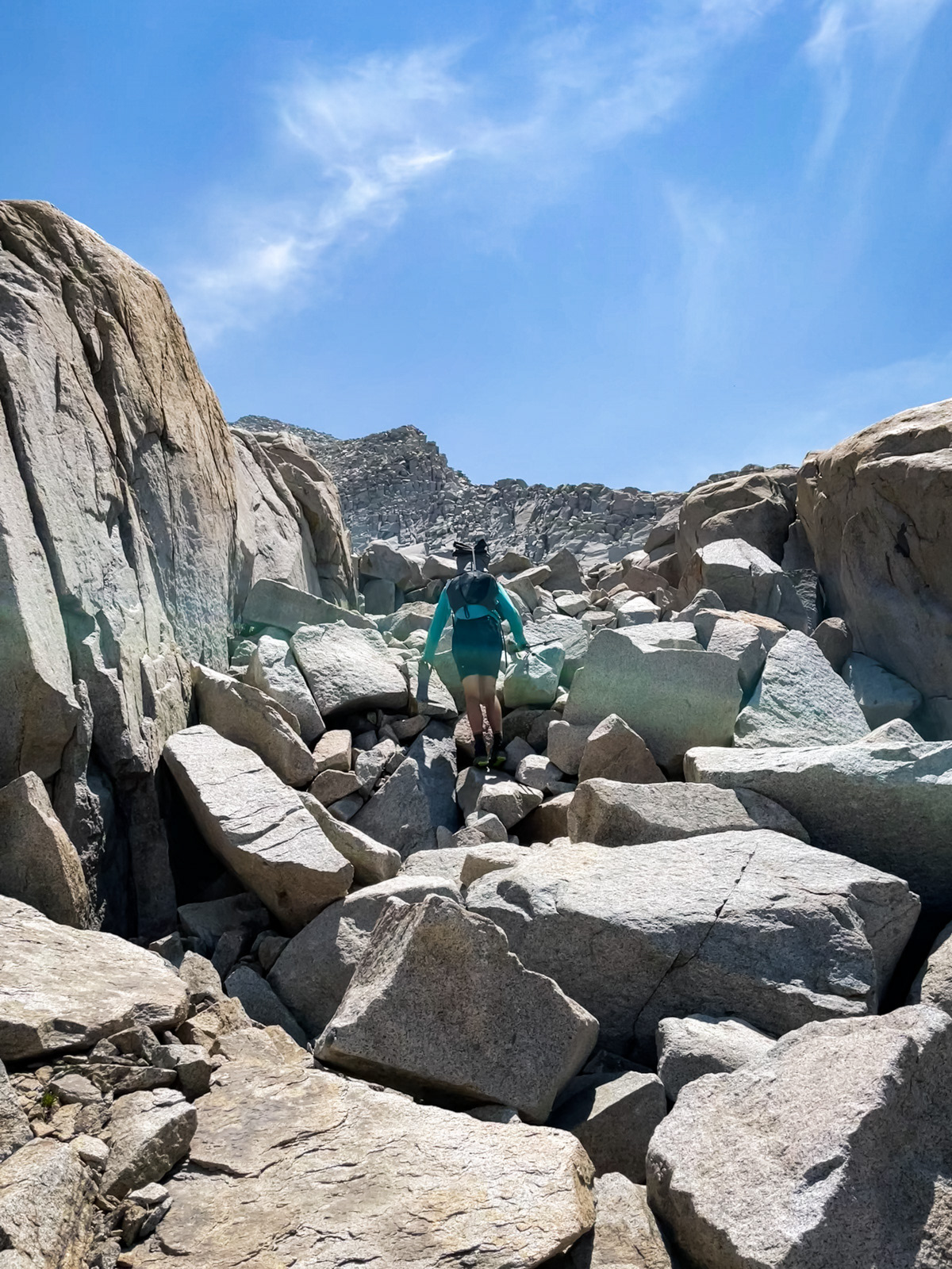
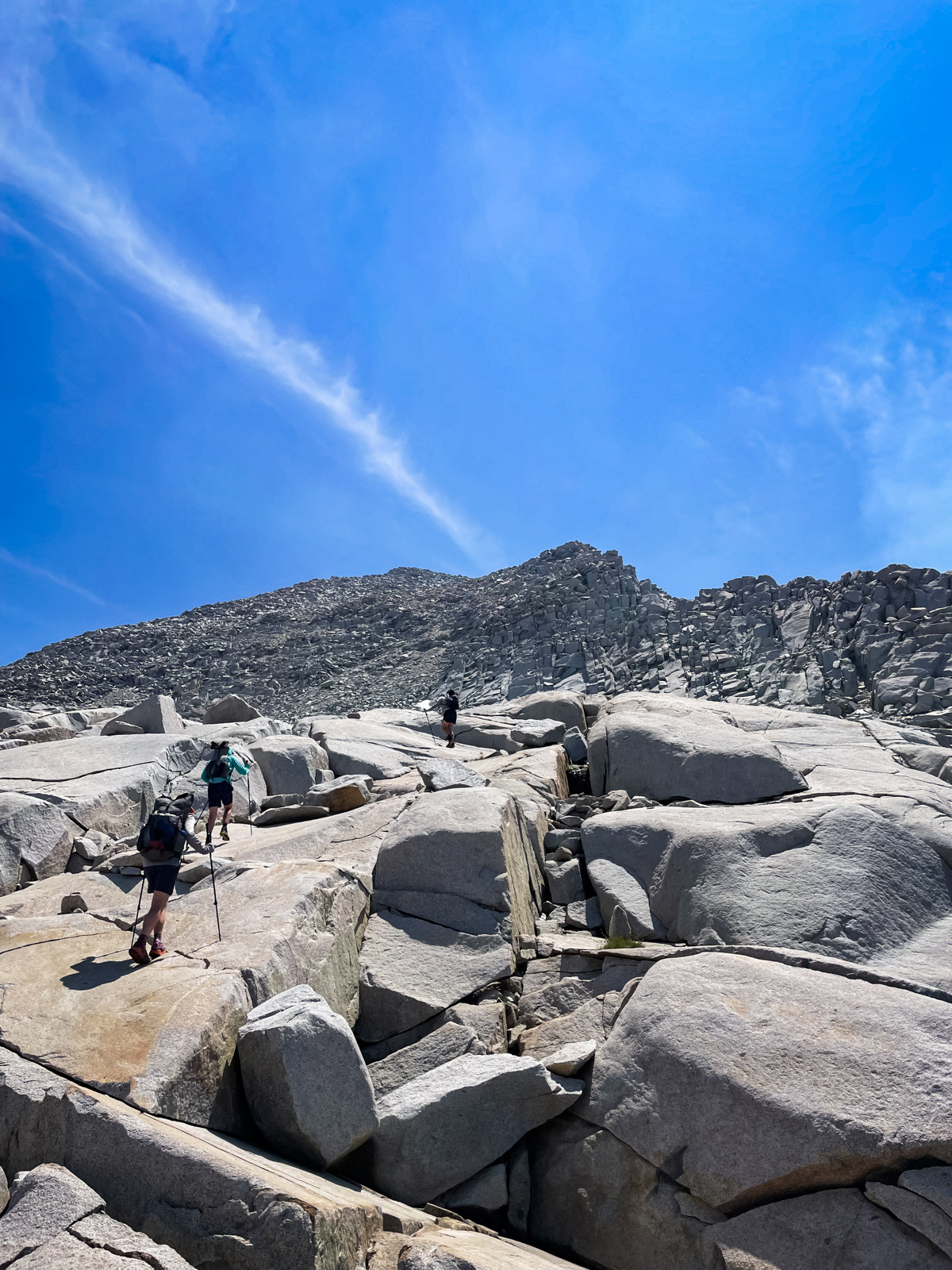
The south side of Reinstein was a different story. The internet advises that there are a few drop offs to avoid near the top, but we found the descent to be far more arduous than that modest description.
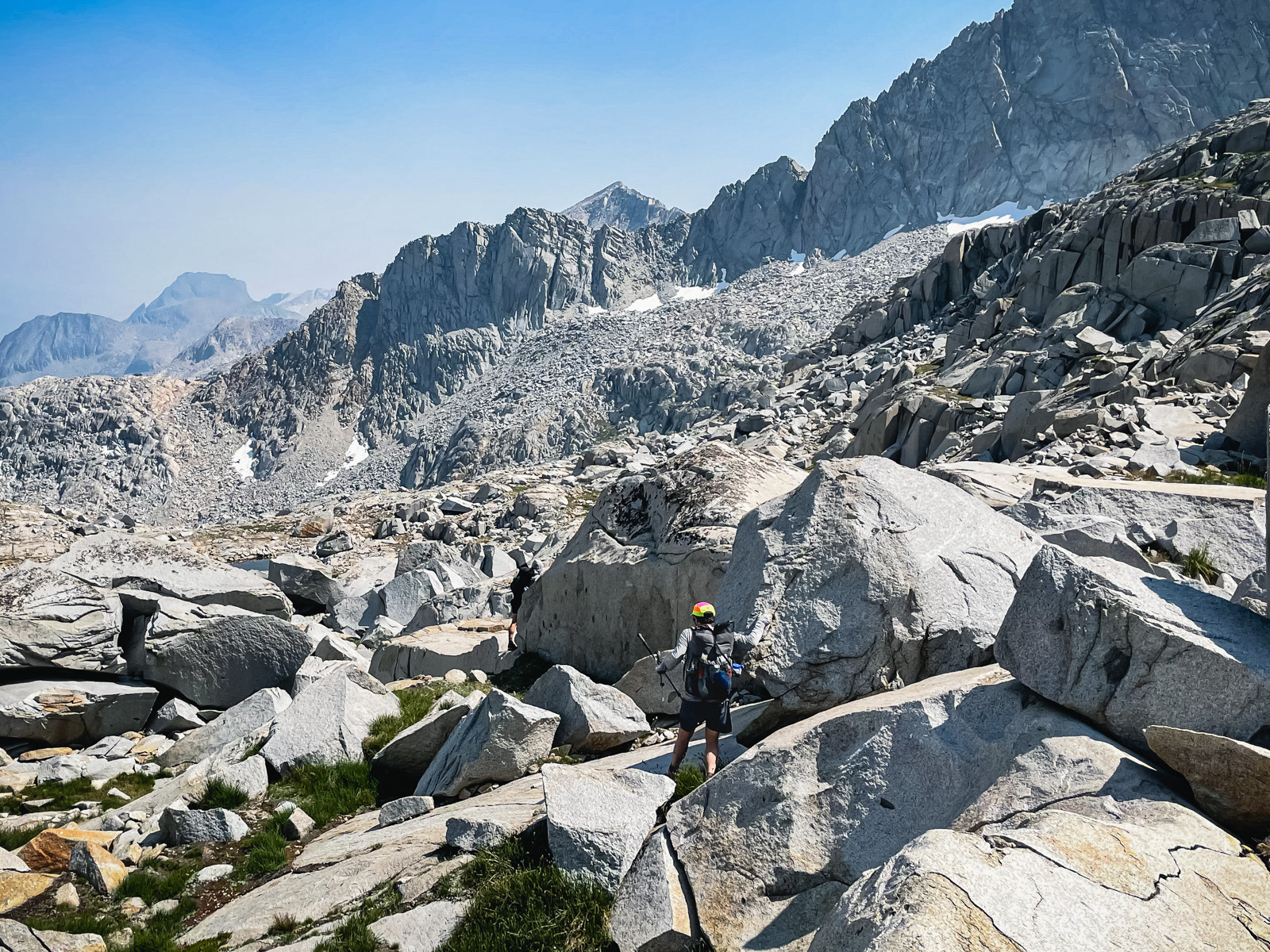
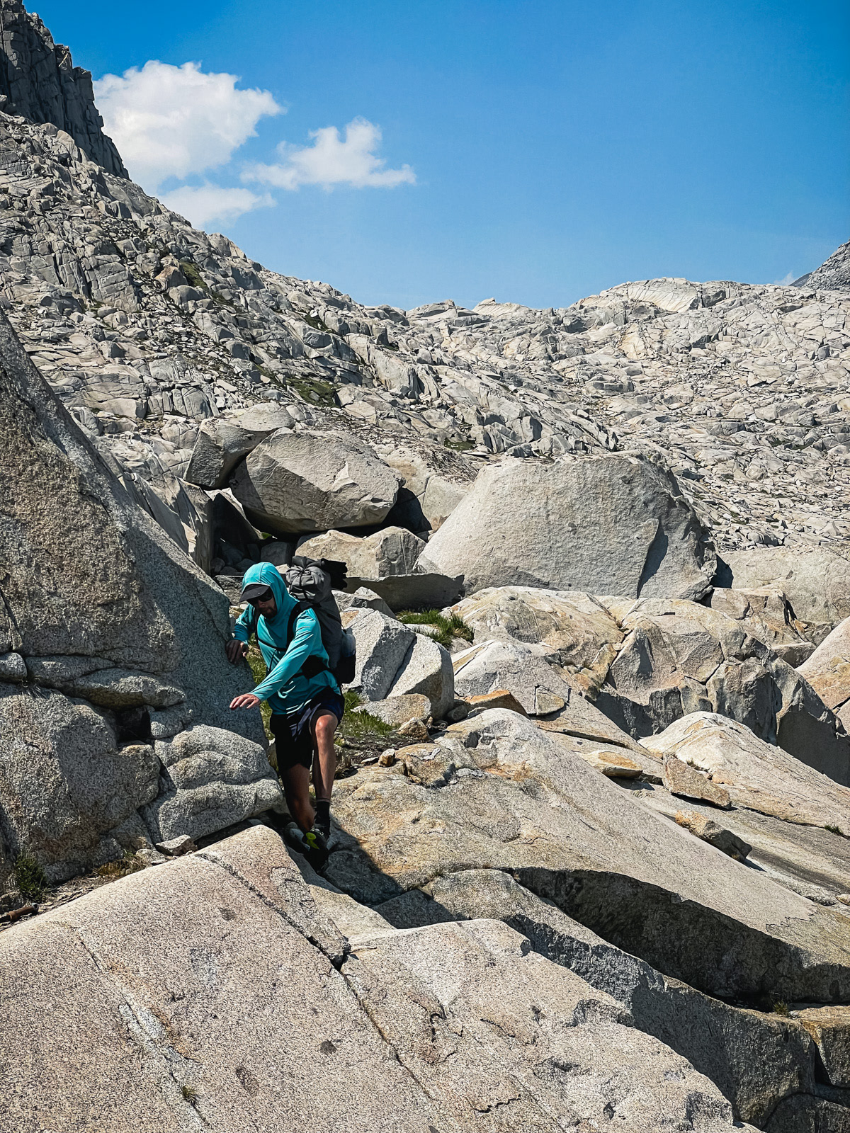
The Sierra is a soft, charming mountain range where off trail wandering often just seems to work out. Unfortunately, we now found ourselves in one of the range’s occasional dark portals, a perverse sub-kingdom where everything was harder, steeper and weirder than usual. We scooted our butts down too-steep slabs, swung our bodies around spicy, 15 foot drops and broke at least one trekking pole.
The high basin below Mount Reinstein had a chaotic aura.
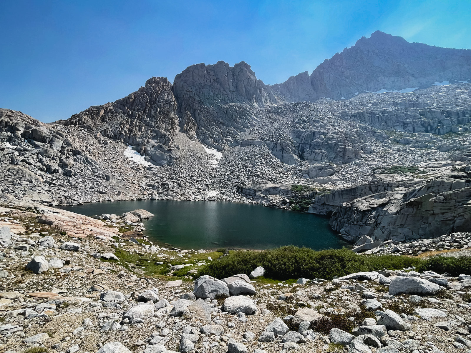
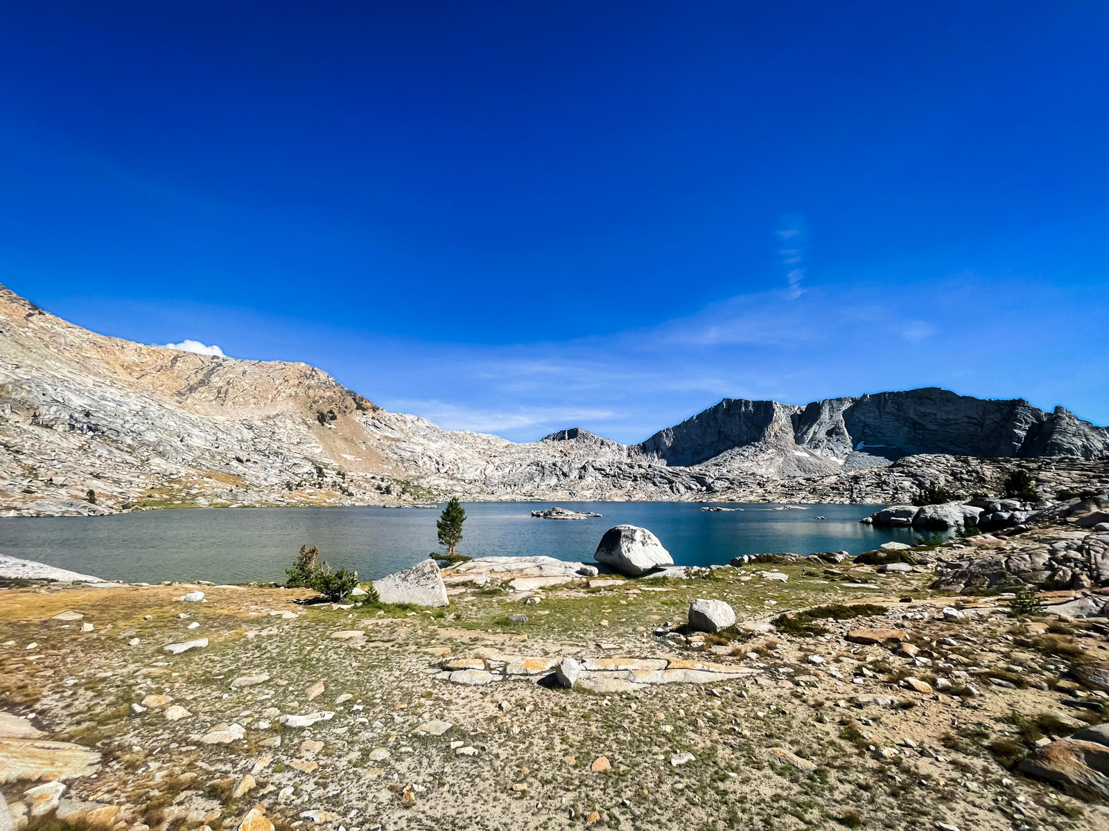
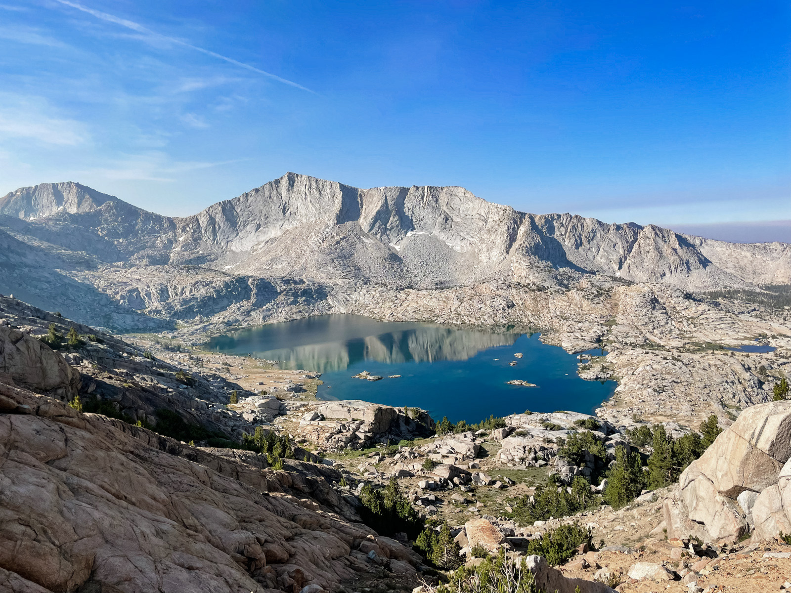
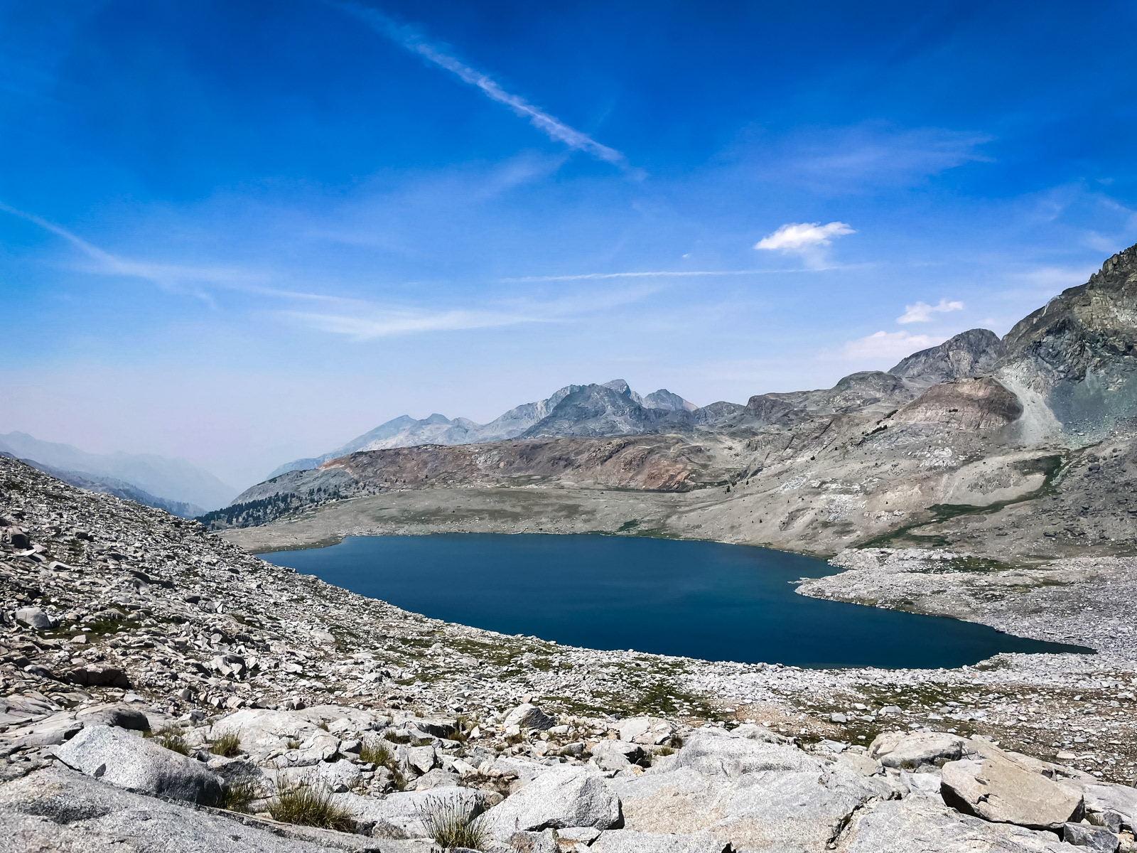
We finally made it to a large lake tucked under Peak 11,333 and took a break, dazed from the 850 feet (and counting) of descent.
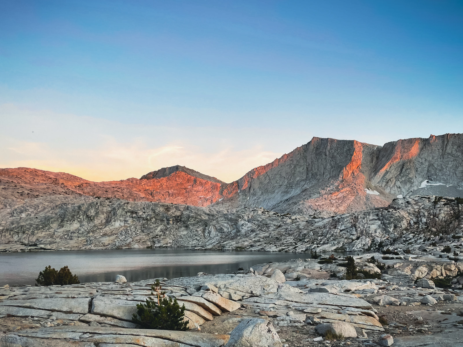
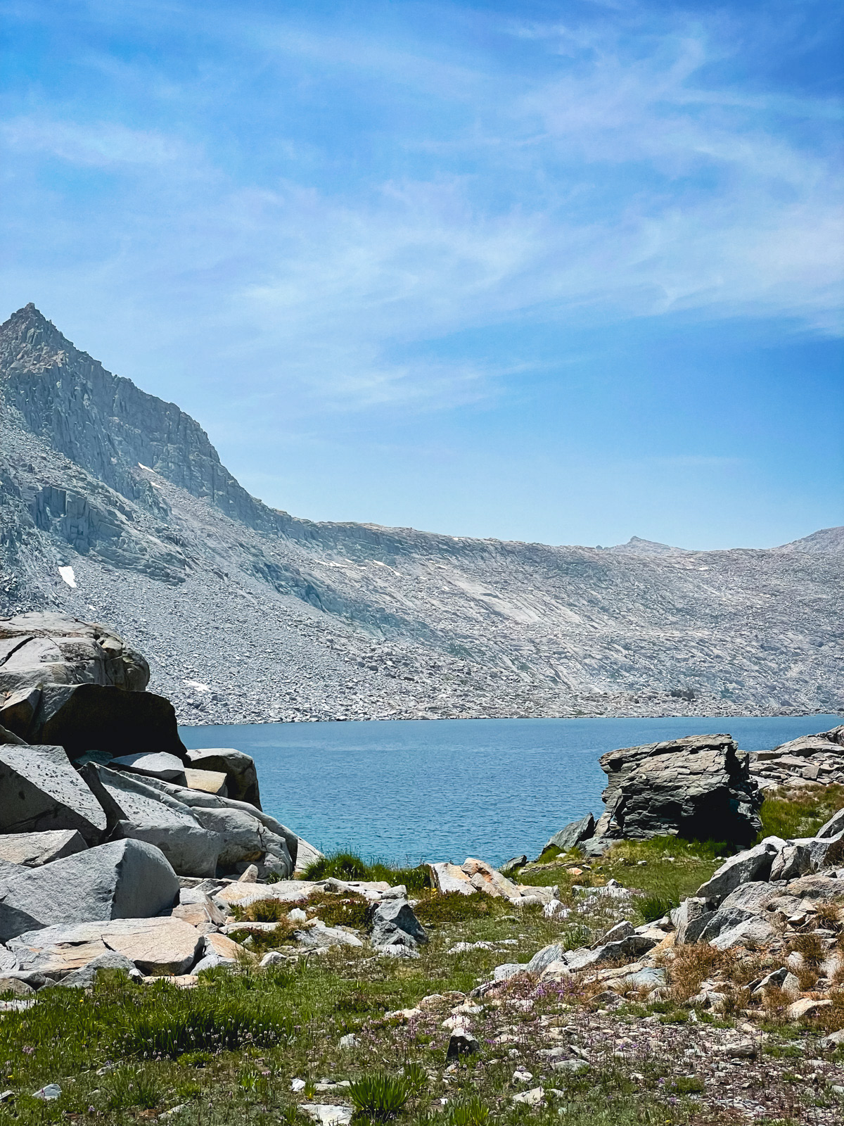
We turned east and descended a series of small granite-bound lakes and tarns. Soon we were looking down at 10232.
A wild cascade that never ends.
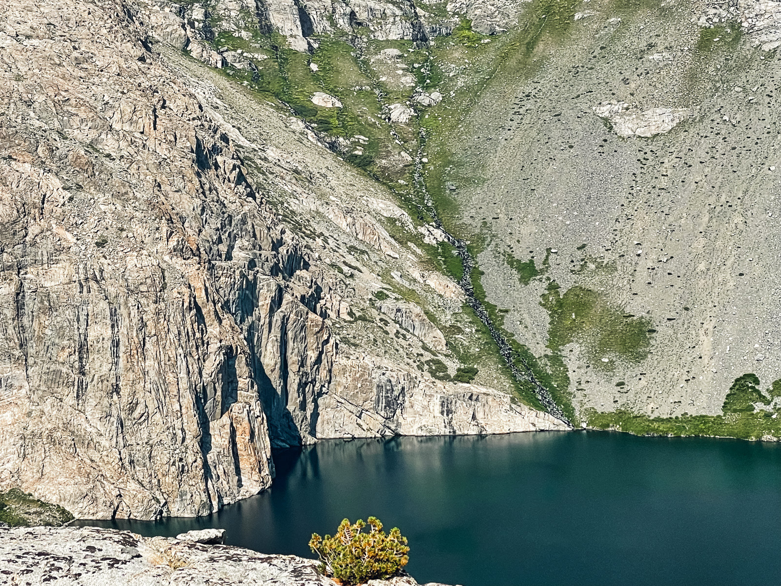
The stunning cliffs at the north end of the lake -- over 500 feet tall!
We cut southeast towards an inviting meadow.
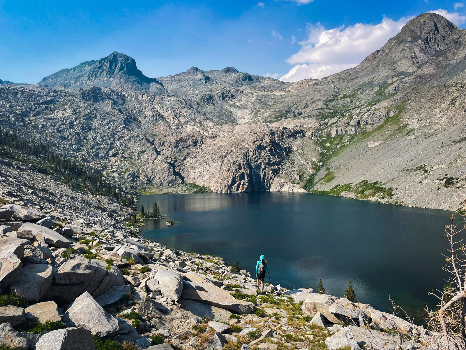
Finally we dropped more or less straight down to the huge lake (it's almost half a mile long!). This last bit was the easiest of the entire descent.
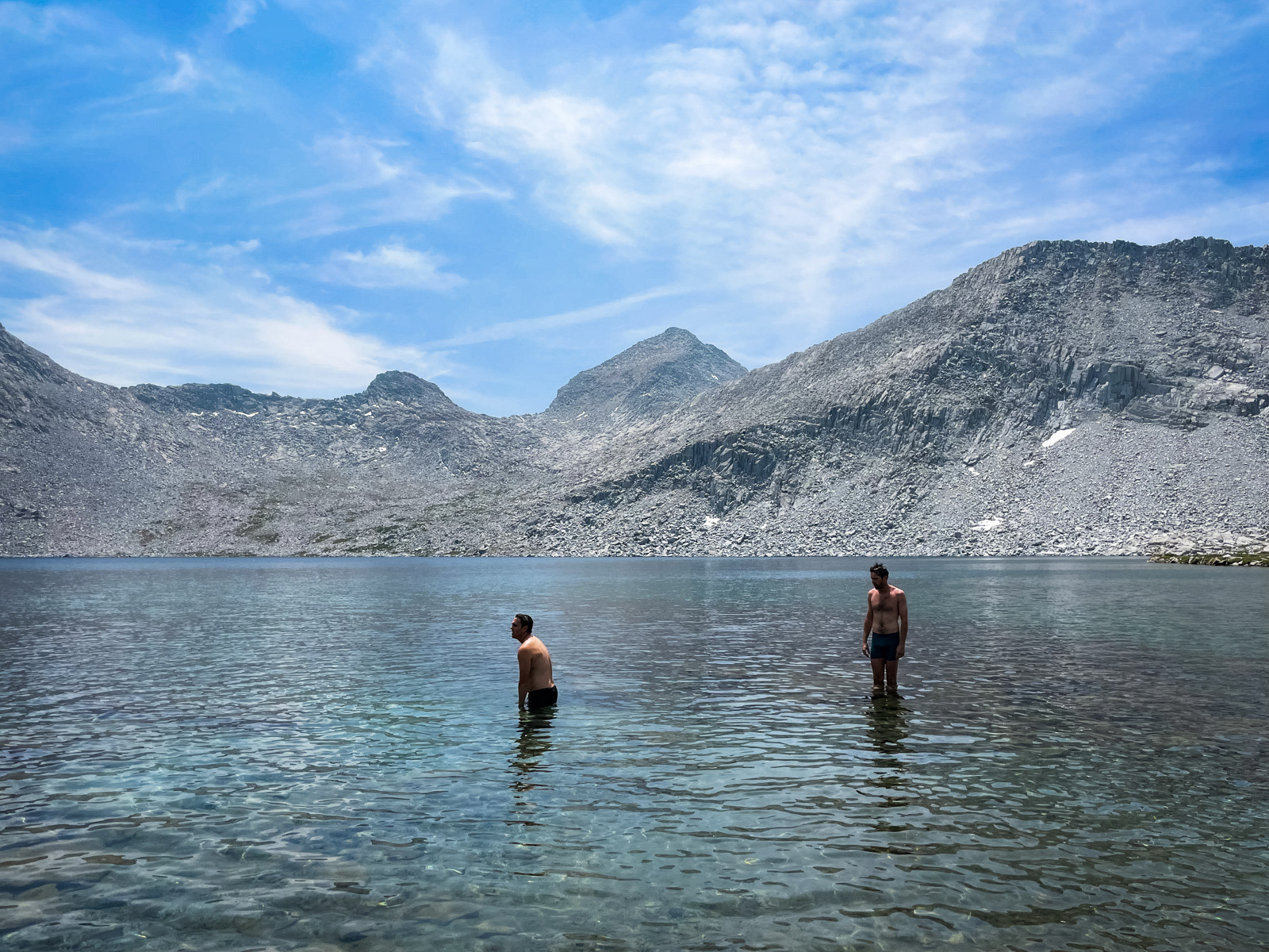
The nominal point of this trip was to see this lake, and it somehow lived up to its reputation. The setting is exquisite. It’s not a trick of the camera.
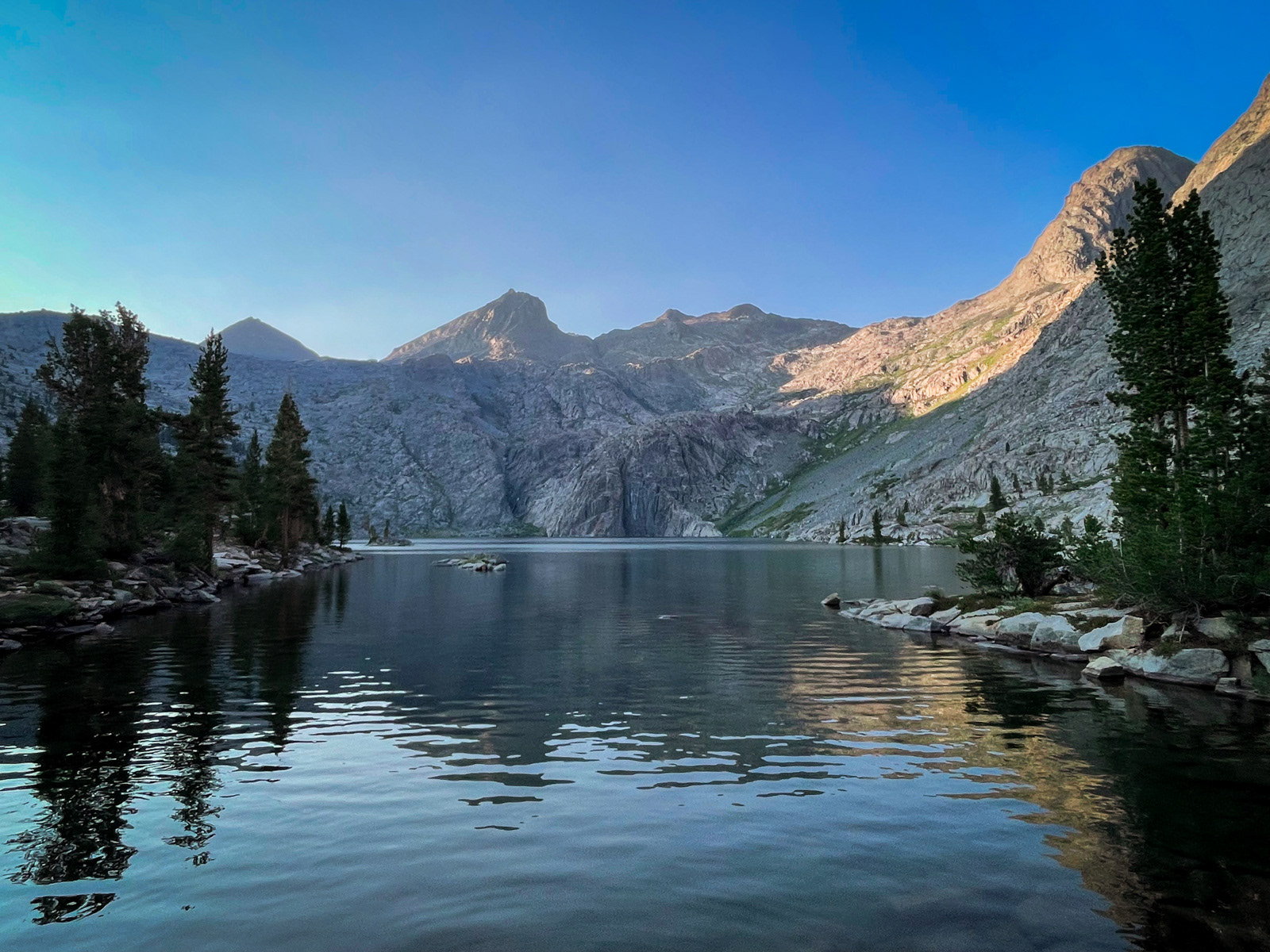
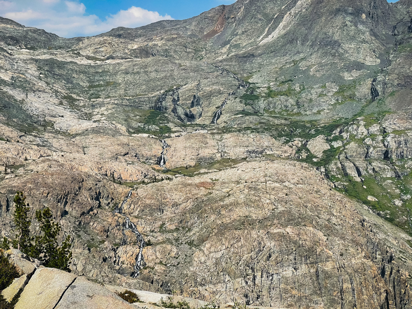
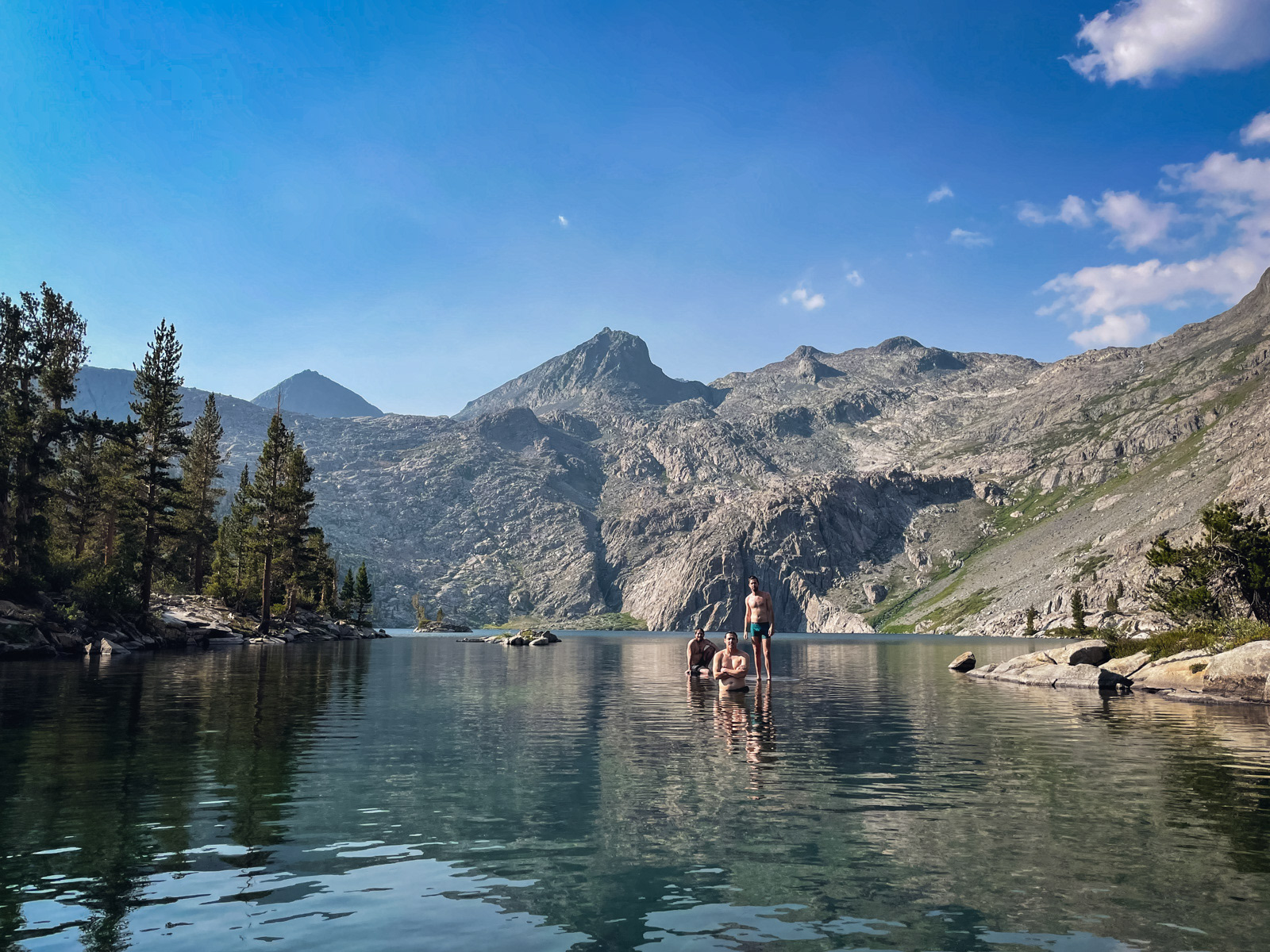
The northern wall behind the lake climbs 2000 abrupt feet straight off the water, a glorious cacophony in all the colors, shapes and stratifications of the geologic rainbow. A series of cascades come screaming down the northern headwall, draining the highest lakes beneath Mount Goddard before tumbling into 10232 with a roar. It’s glorious.
It had been a long two days: 27 miles and 7,000 feet of gain, with the Reinstein descent serving as the conclusive ass kicker. We hung out by the lake for a long time in full zombie mode, lying at awkward angles against weird rocks on our foam pads.
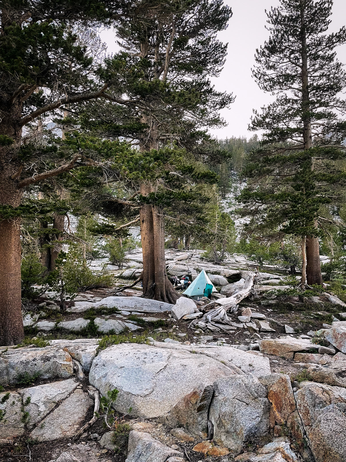
There is indeed a greater sense of solitude here than at many other off trail locations in the Sierra. Not a use trail in sight. Minimal campsites scratched out in the few places that one might even fit. A single old fire ring. We settled in for the night.