September 20 - 23, 2024
No need to build the suspense: this was an all-timer.
We walked out of the Pine Creek trailhead in late September and into some of the finest terrain that the High Sierra has to offer. Through sheer luck, we timed it perfectly: an early snow storm had blown through the day before, leaving behind crystal clear air and bits of fresh powder adorning the peaks. Puffy storm cloud remnants filled the sky each afternoon, filtering the light in life-alteringly beautiful ways. An all-timer!
We were on the road at 6 AM, eating breakfast in Oakdale and stopped briefly at Olmsted Point a couple hours later. A chatty man immediately cornered us. We learned (among other things) that in the 1980’s he had wanted to buy one of Ansel Adams’ 8x10 cameras, but the bidding started at $75,000. If you were curious.
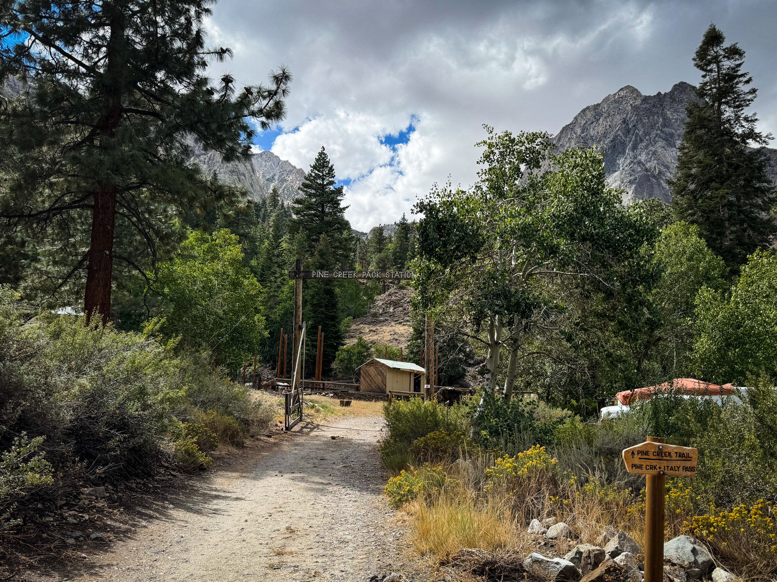
We were hiking from Pine Creek by 1:30.
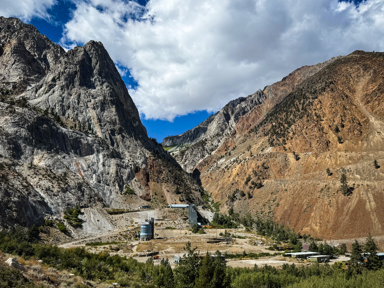
The Pine Creek drainage hosts one of the few extant mines in the Sierra. You can also see the wide ‘Z’ of the Morgan Pass trail switchbacking up the red rock to the right. Unfortunately, this trail has been partially obliterated by some debris slides, and seems unlikely to be maintained again. With an existing Morgan Pass trail, one could make some great looping routes from this trailhead.
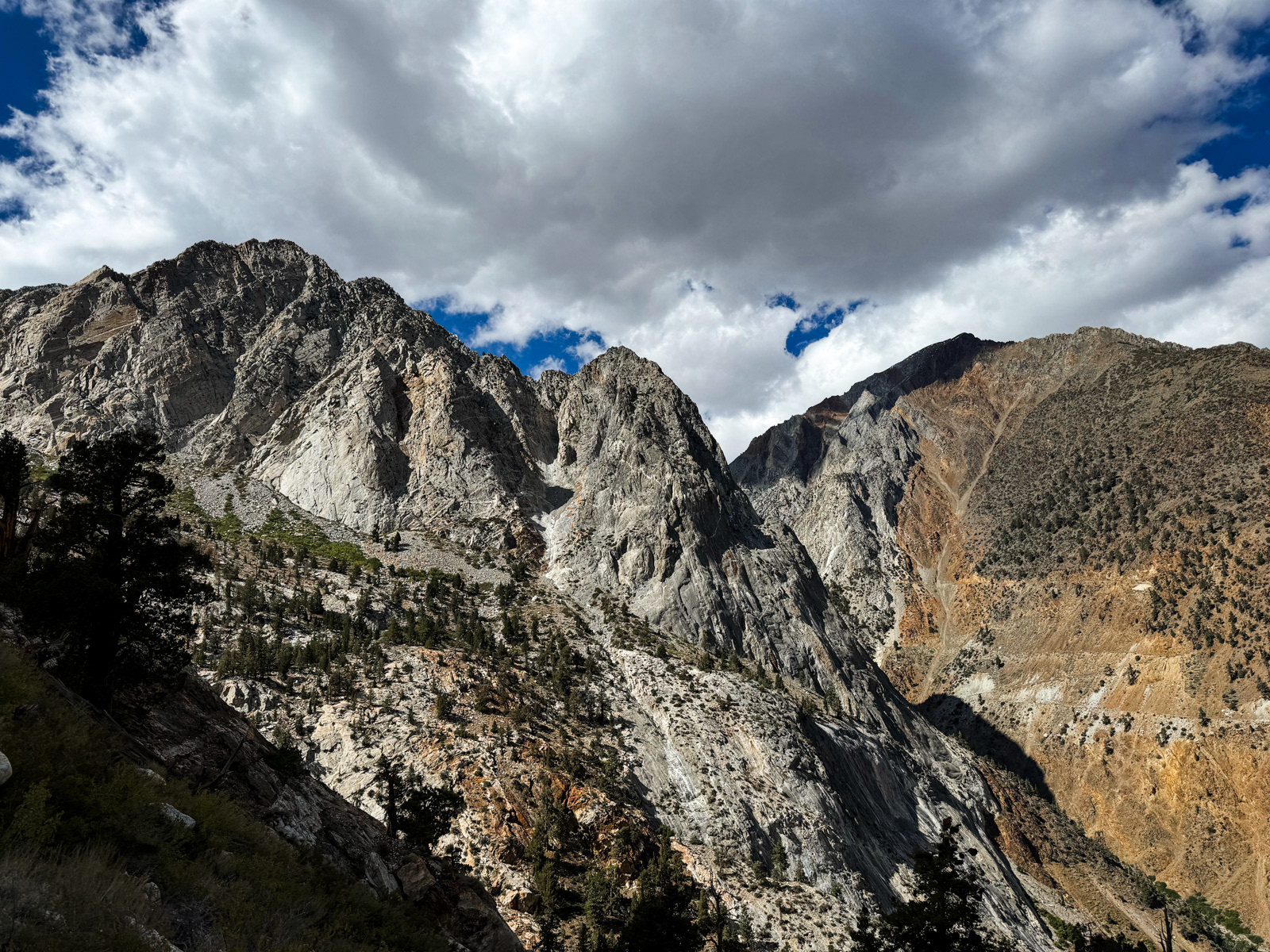
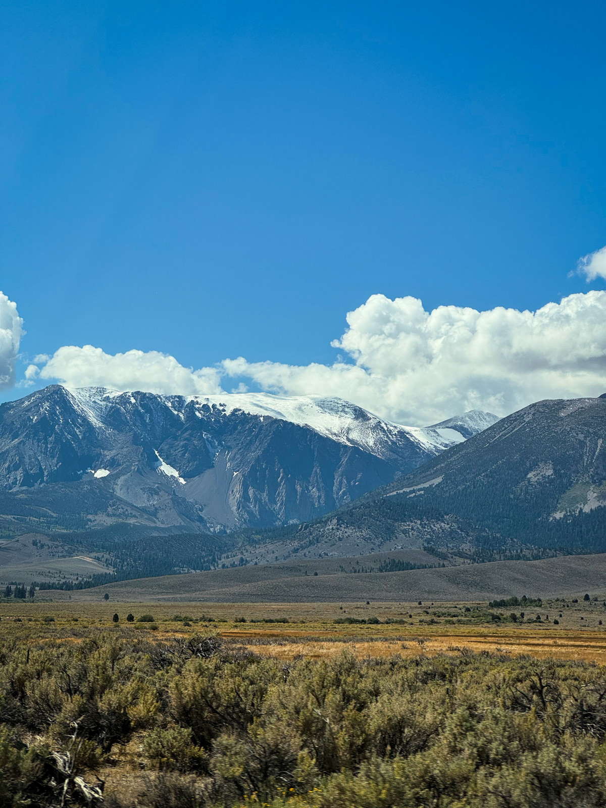
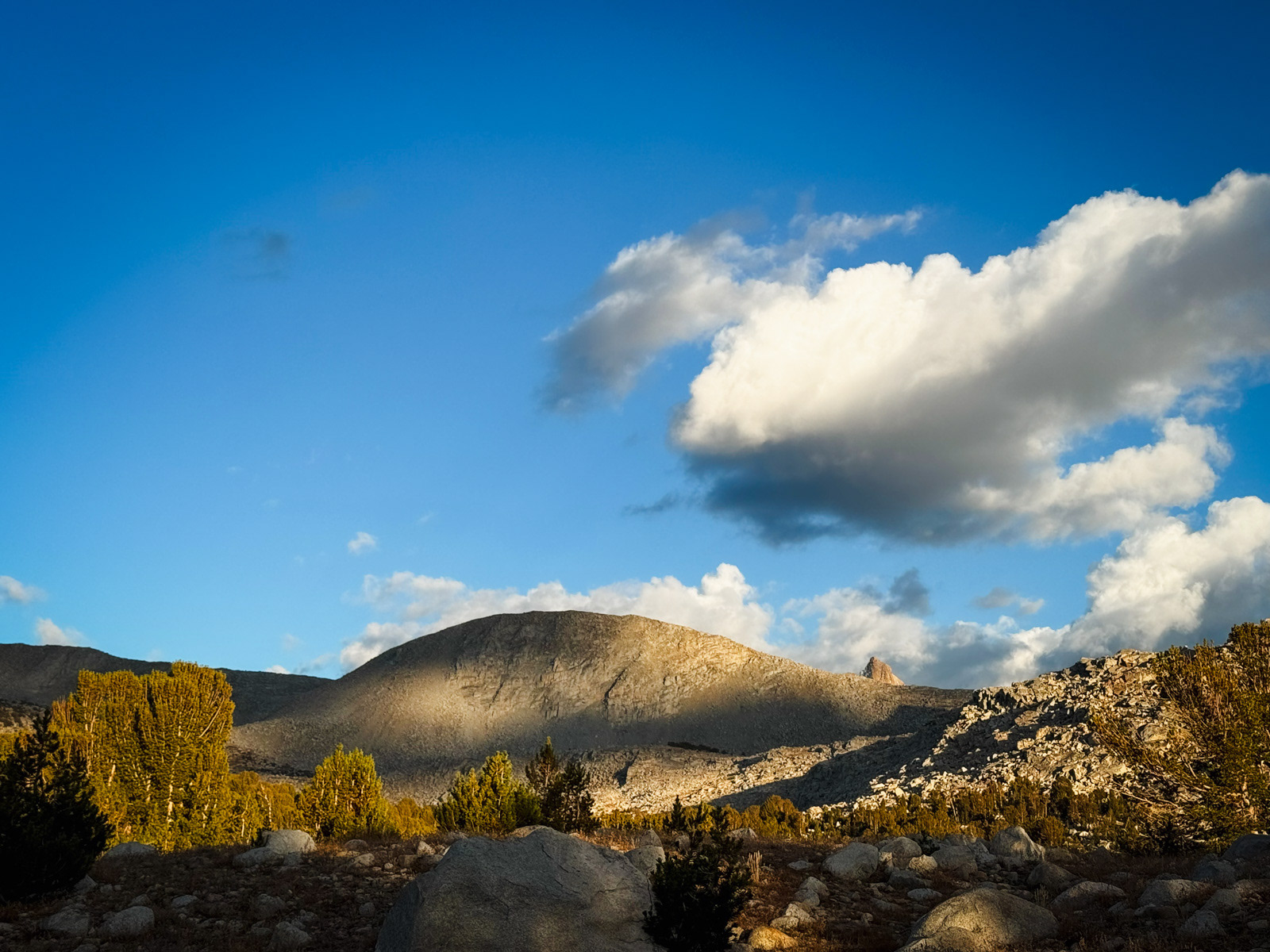
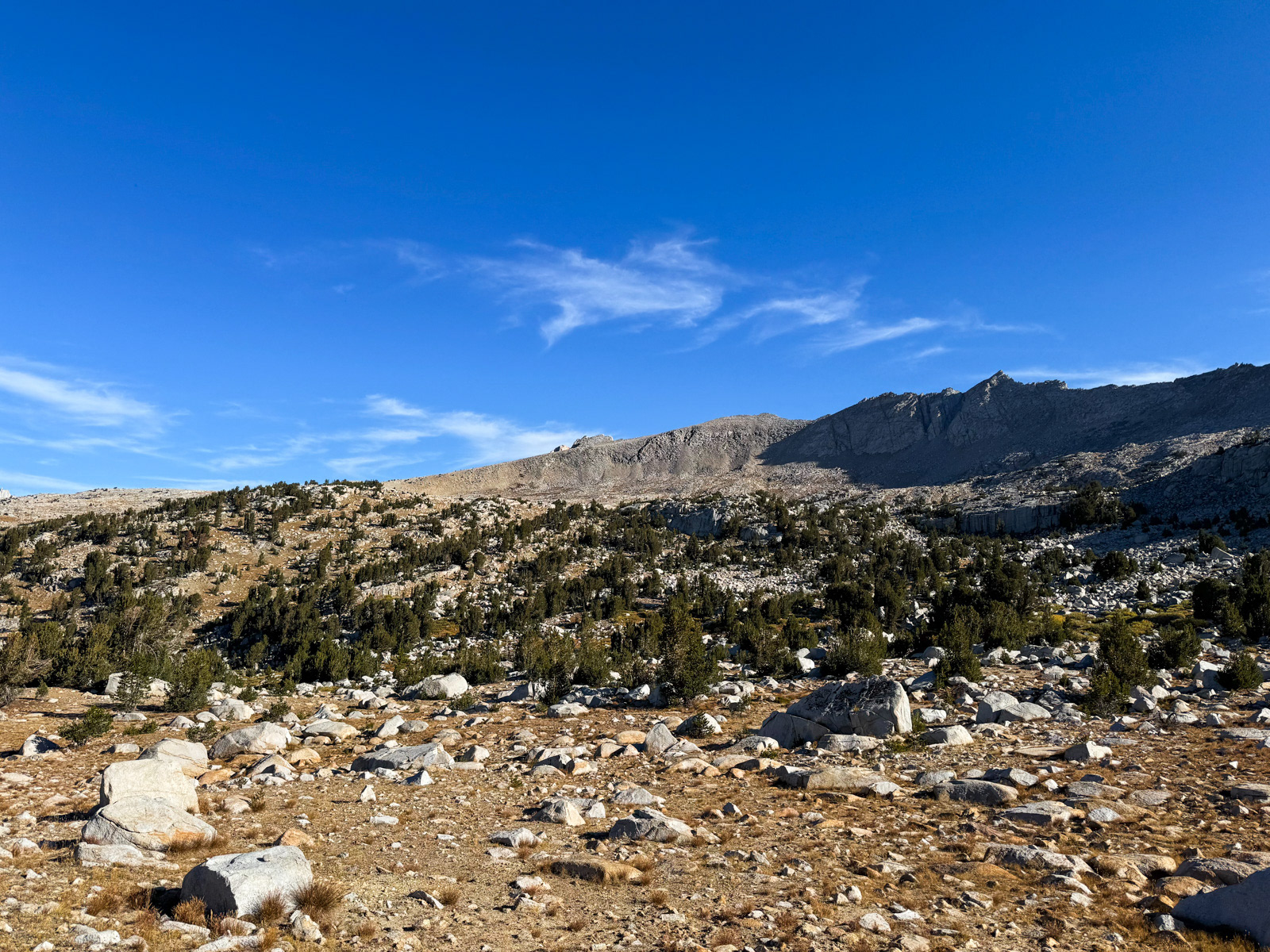
Pine Creek is nestled in a deep canyon, with serious (albeit unnamed) peaks towering 3,000-4,000 feet above. Yesterday's snow clung temporarily to northern faces.
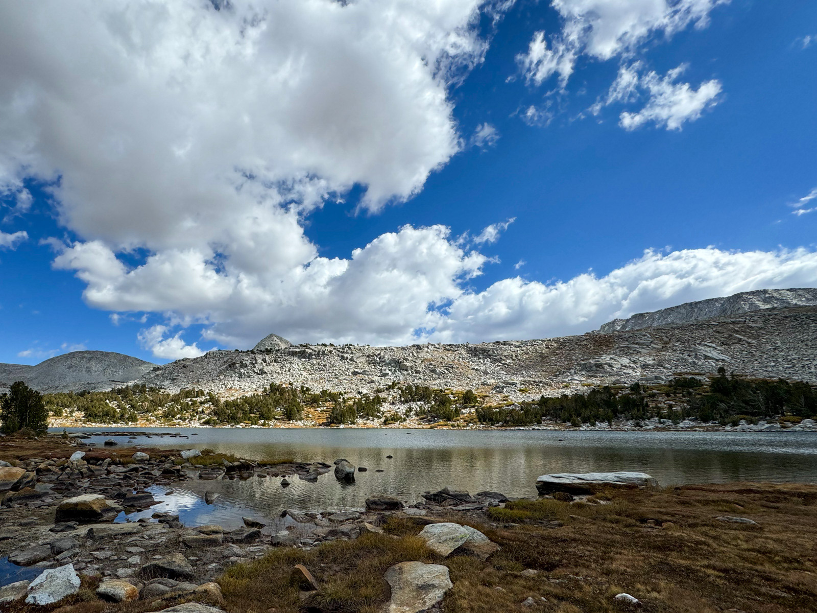
We made it to Honeymoon Lake by 5.
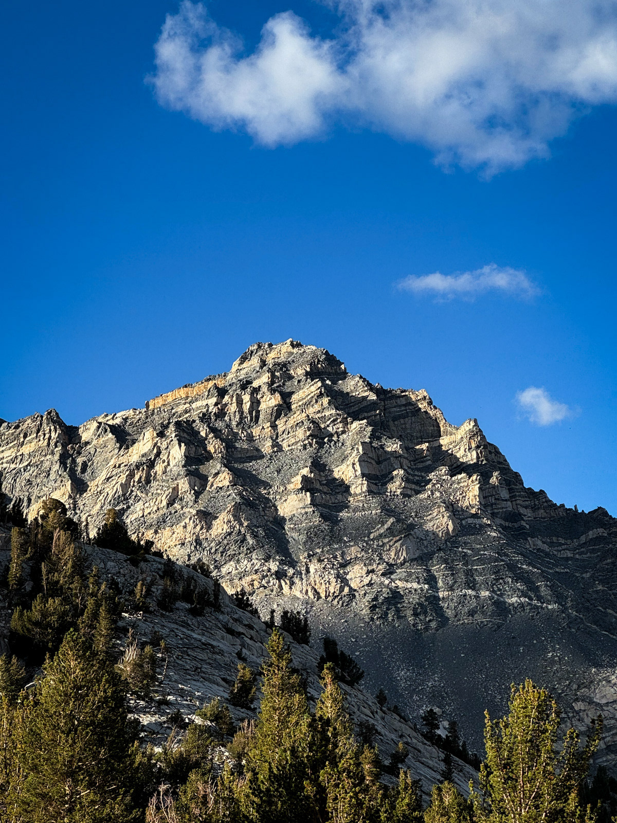
The Sierra is so unbelievable that this exceptional mountain doesn’t even have a name. We demand respect for Peak 12,245!
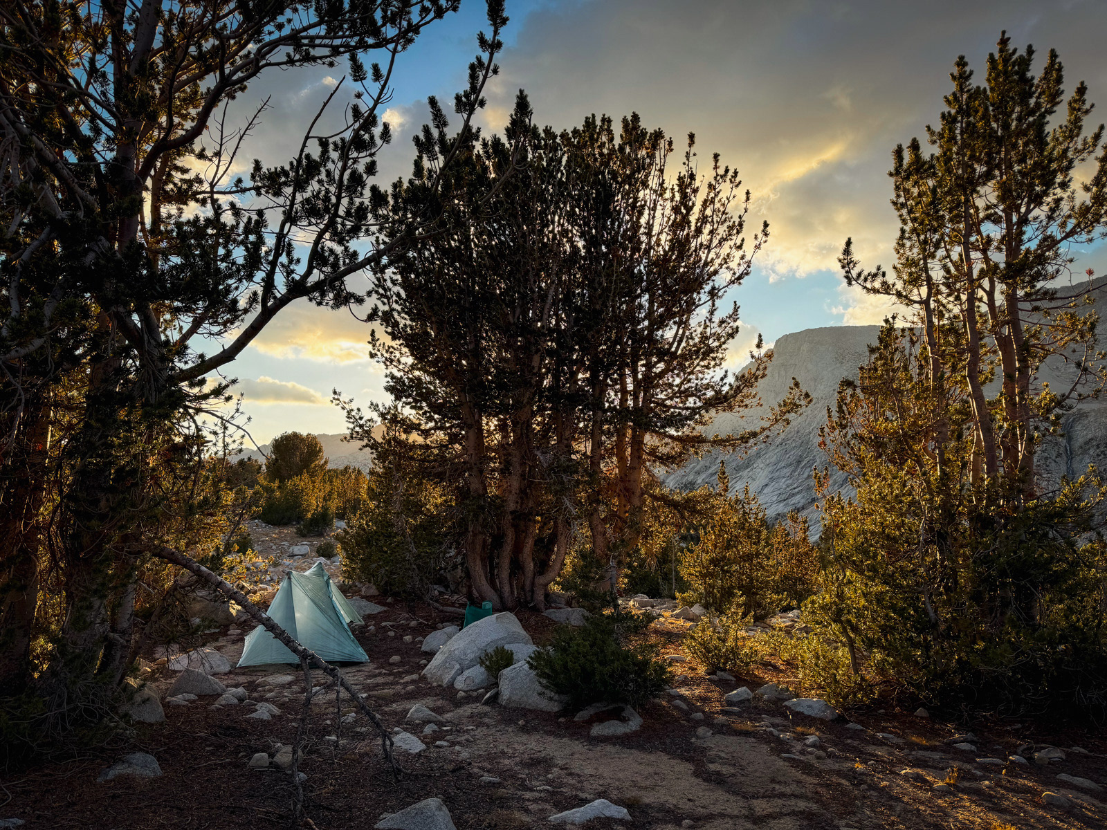
The evening came on fast and soon we were in our tents. We both felt that this was the coldest night of the trip.
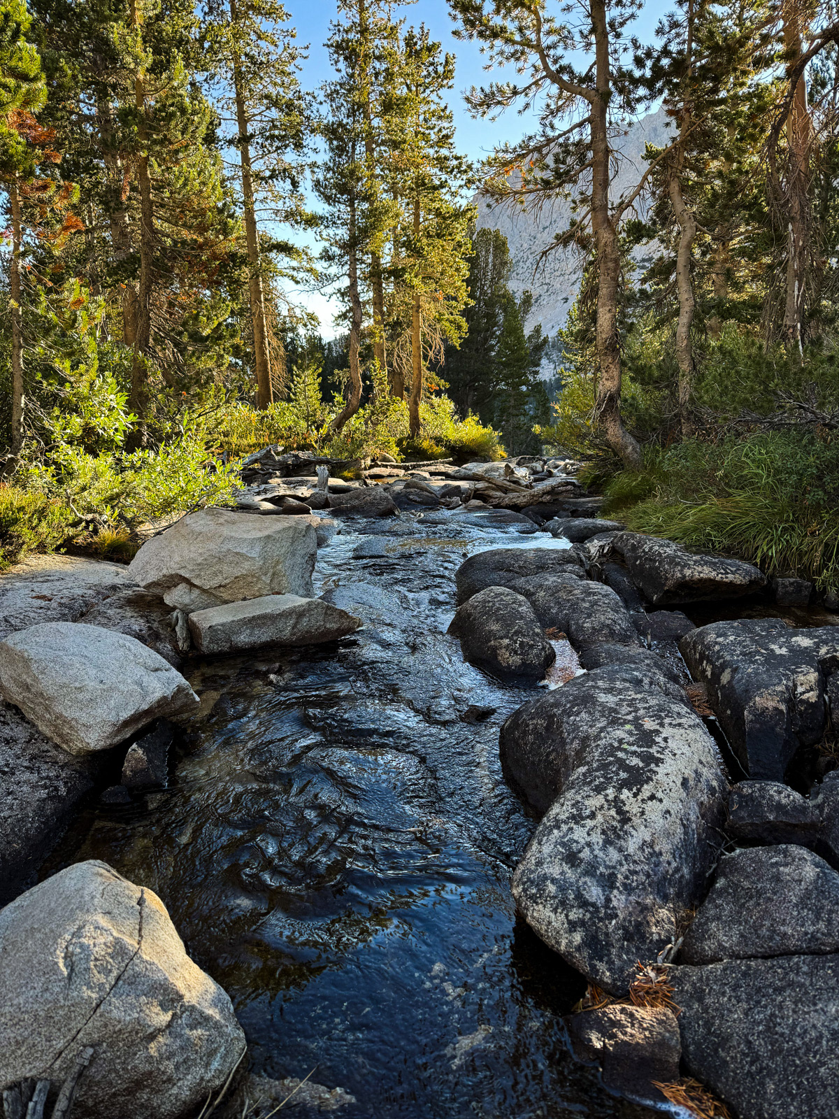
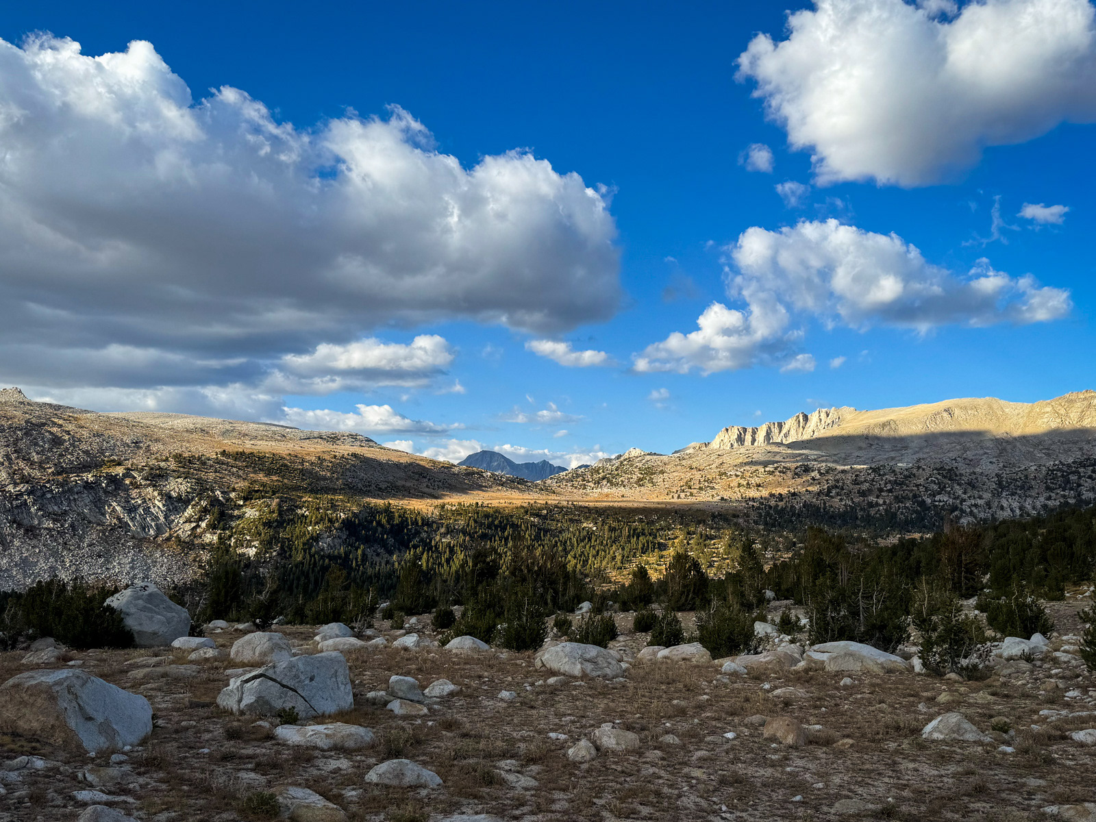
We were hiking by 7:45 AM the next morning. The forest west of Honeymoon is beautiful, but soon enough we popped out into the open and took a long break for breakfast.

For those keeping tabs on highly specific Sierra details, this is the state of the Granite Bear Pass snowfield on September 21, 2024, an exactly average snow year. We considered changing course and heading this way into Bear Lakes Basin instead of over Italy Pass, but decided to stick to our original route. Next time I’d take Granite Bear.

Looking back.
Italy Pass, which has multiple use trails leading to the low point at center.
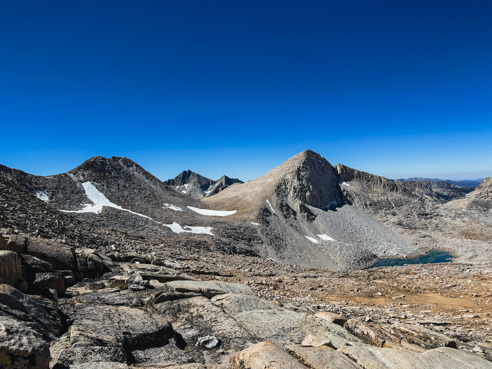
We paused briefly at the top before heading toward the low point above the smile of snow: Dancing Bear Pass.
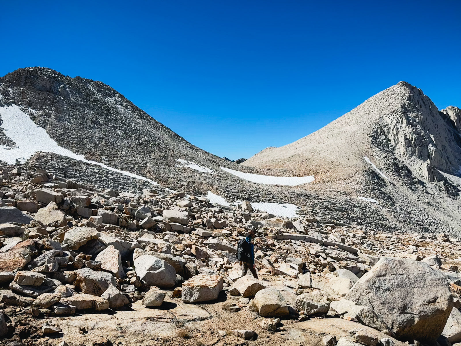
We followed internet wisdom to drop lower than you’d expect, and had a relatively easy time traversing between the two passes.
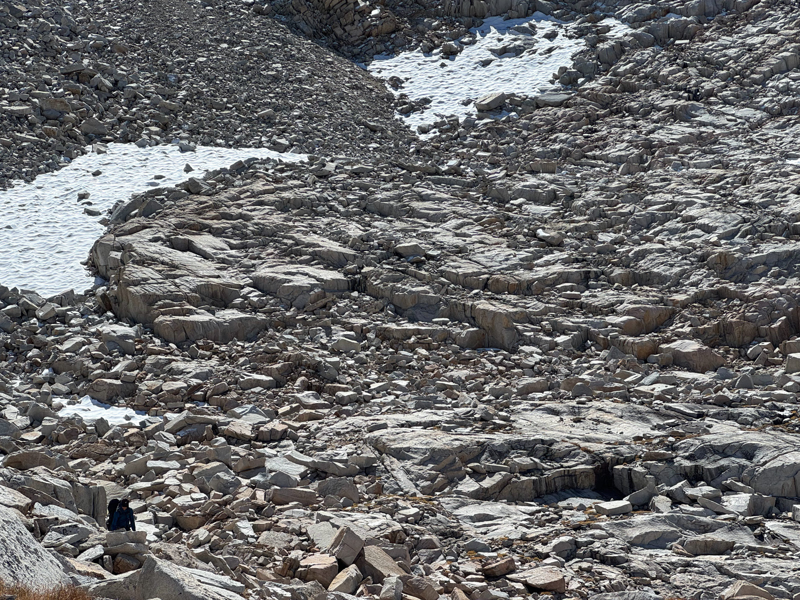
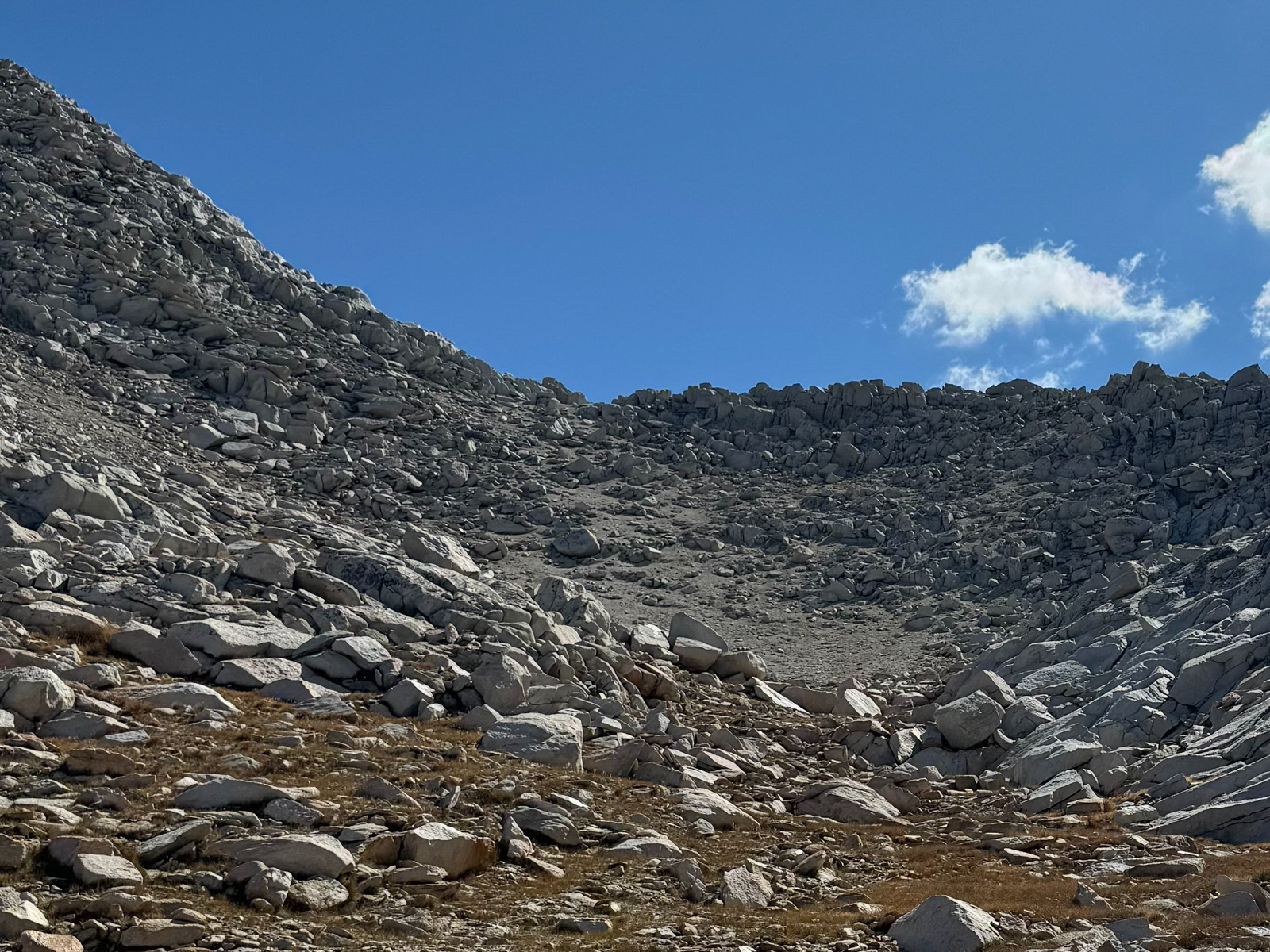
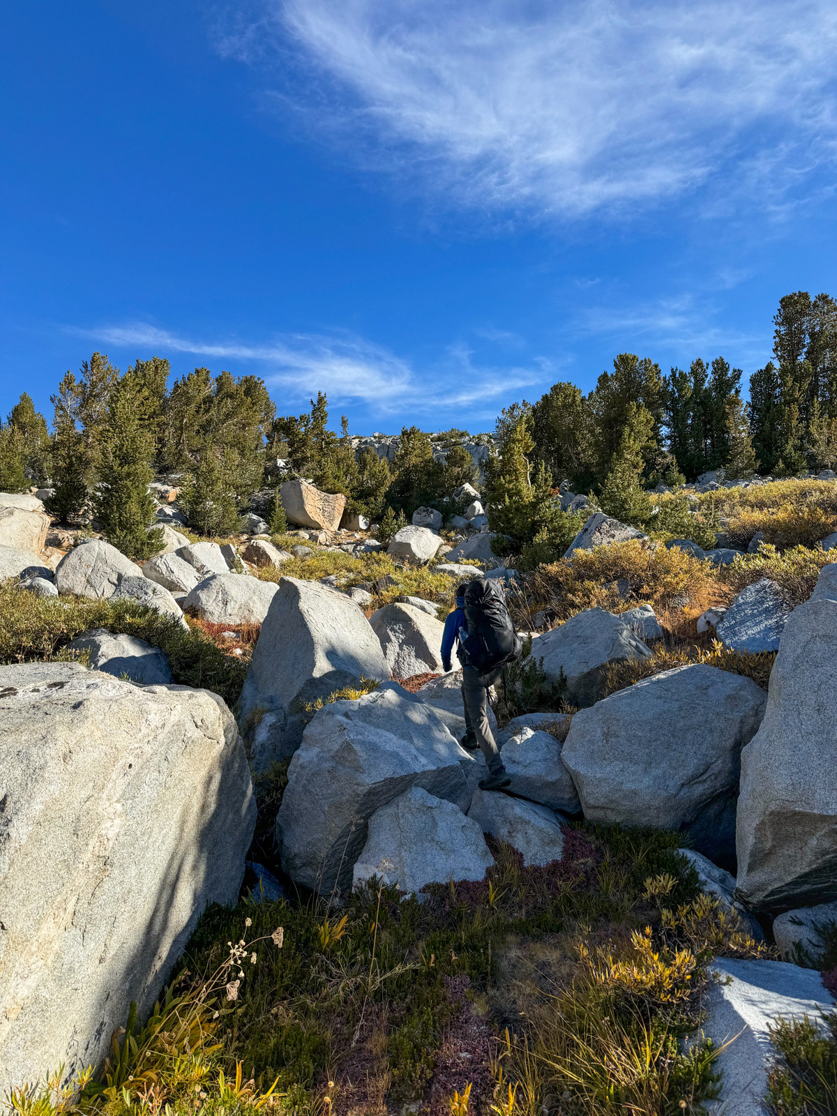
Eventually we hit some larger talus, but there was nothing particulary memorable in this world of endless rock.
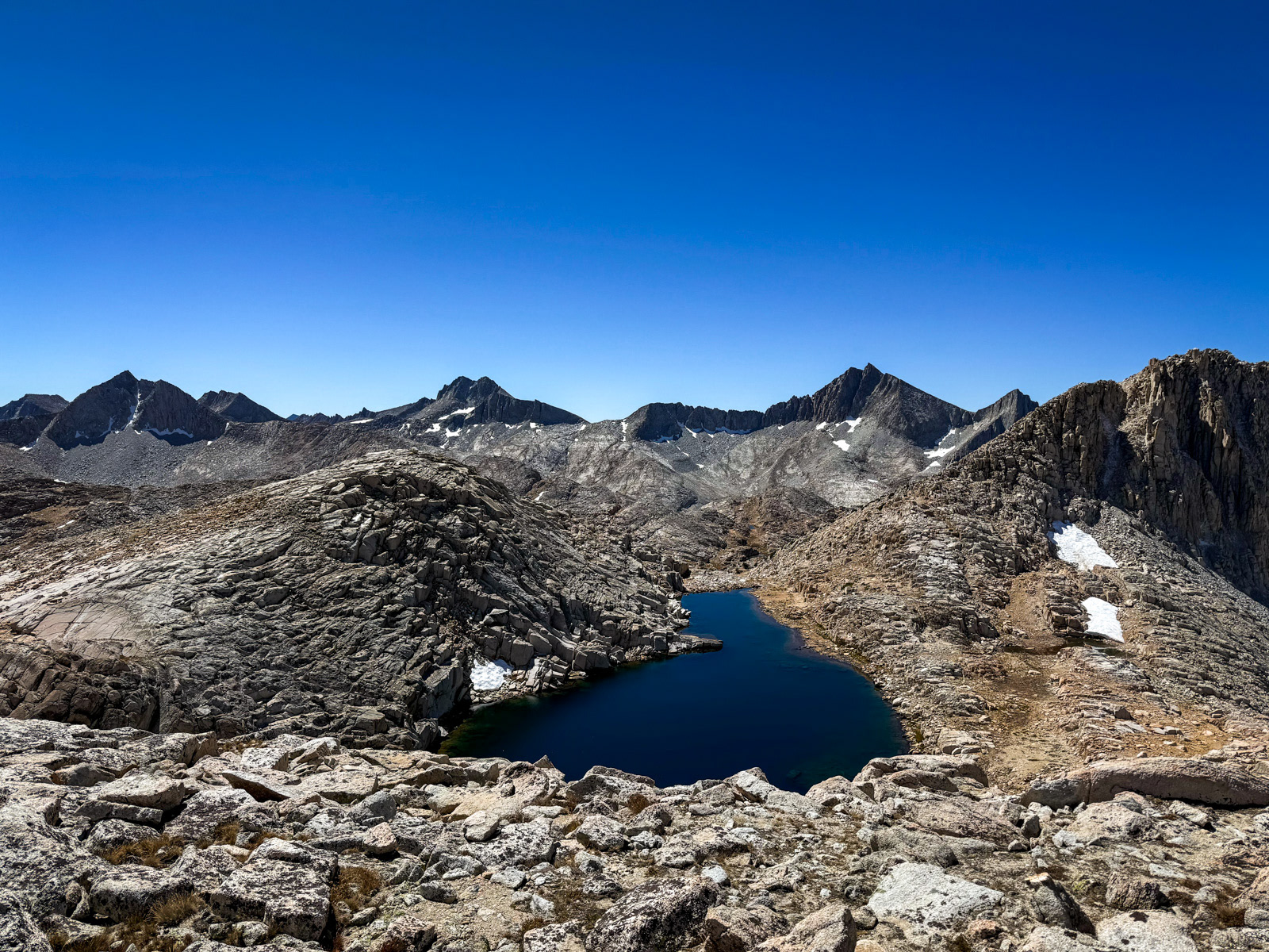
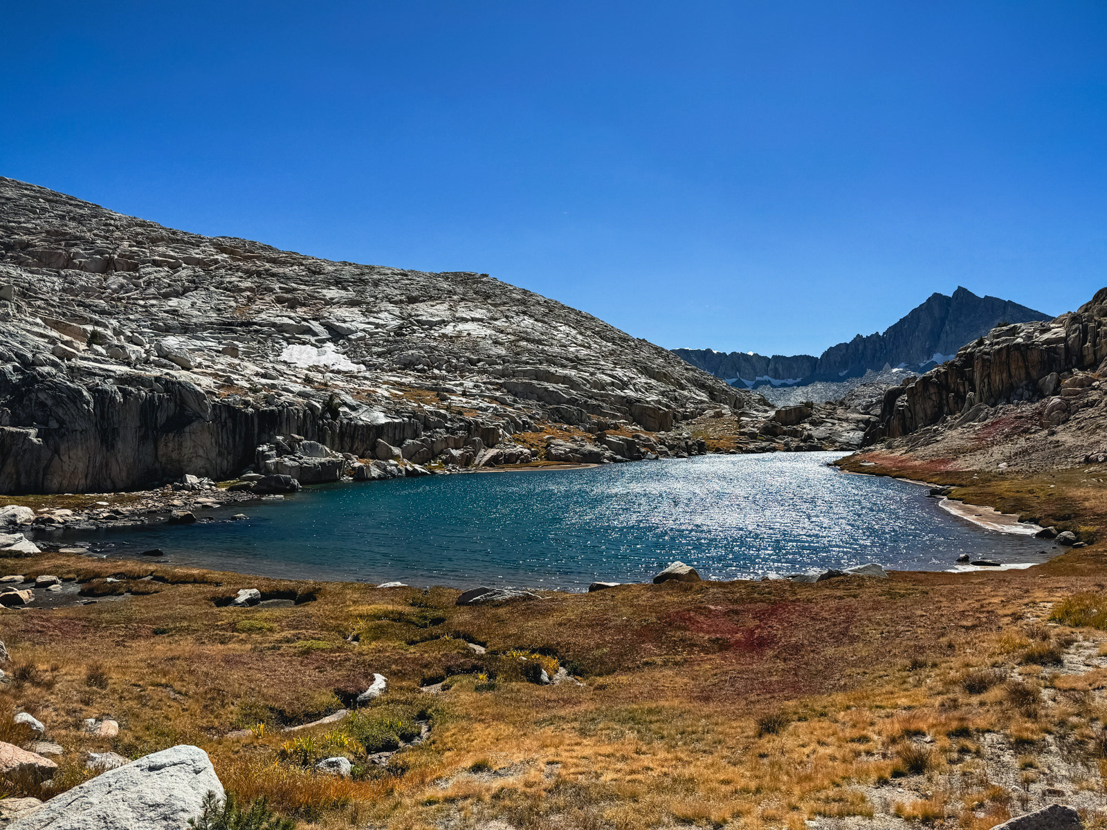
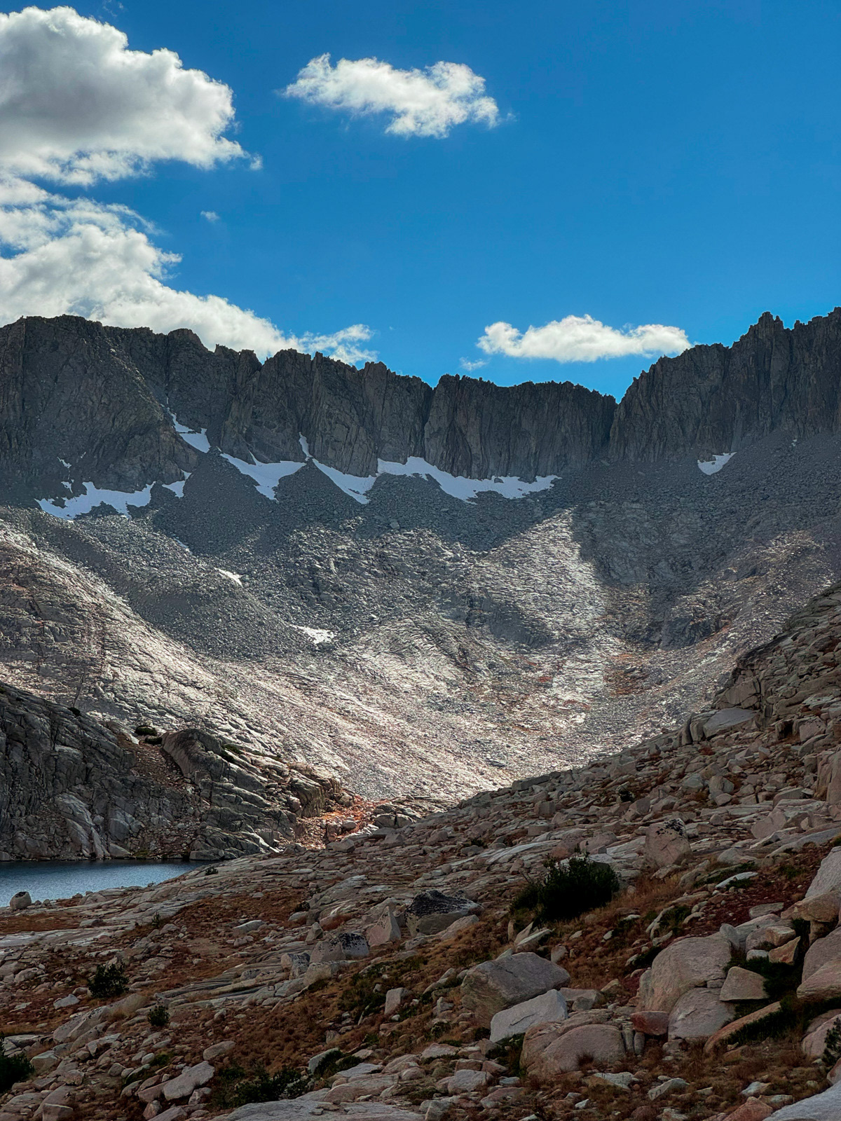
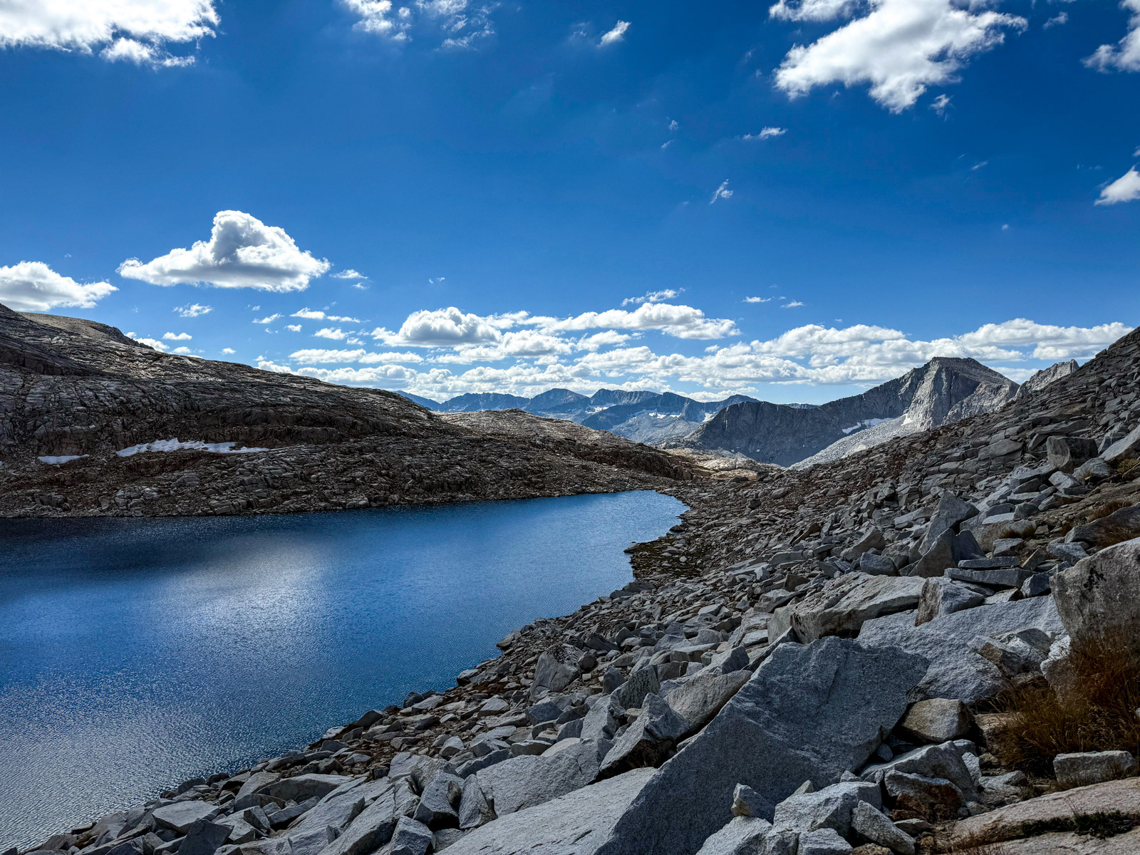
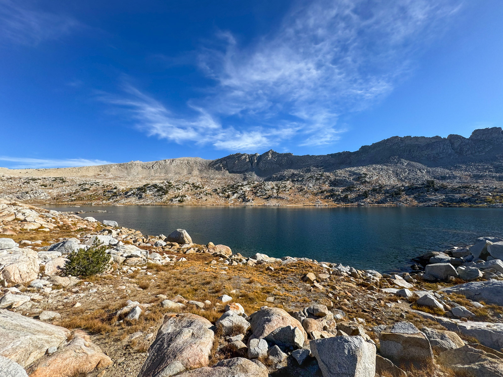
White Bear Lake greeted us on the far side of the pass.
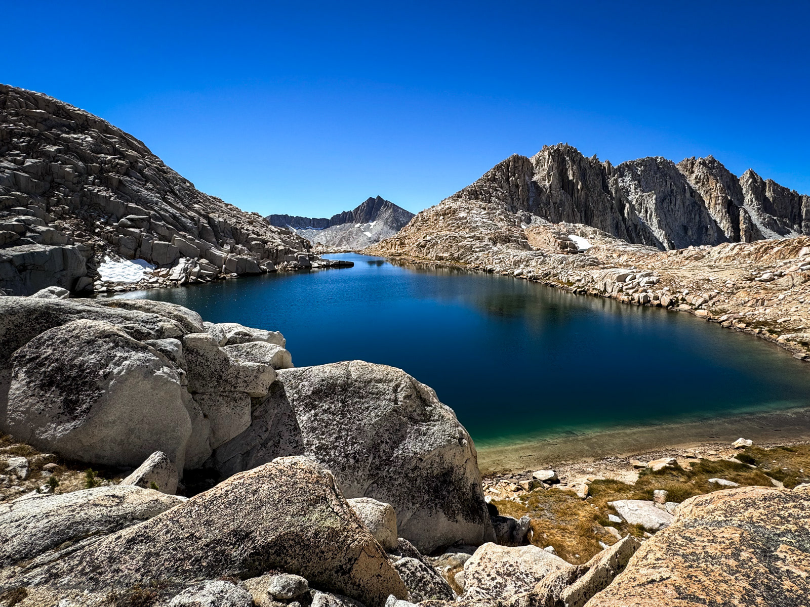
A very appealing lake!

What can be said!
We stopped for an hour, then skirted around the west side of the lake…
…and dropped down into a glorious, gnarly landscape. It was unexpectedly hard to figure out what we were looking at versus the topo in this moment – but somehow we persevered, and it was easy walking.
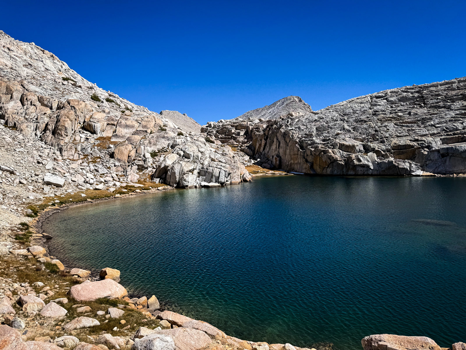
The west end of Big Bear Lake seemed a little low and sad, but Little Bear Lake just to the west was one of the highlights of the day: surprisingly cute and protected by 11,400 foot standards.
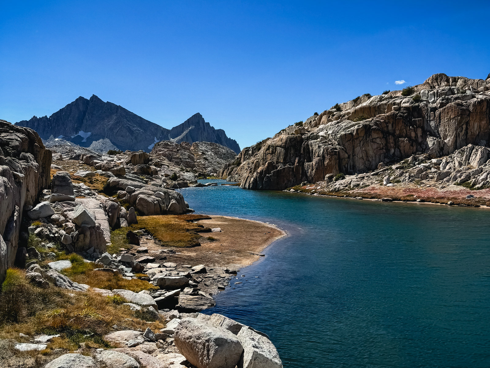
We went around the southeast side of Little Bear (the northwest looked impassable or at least unpleasant) and continued the glorious, easy walking through little meadows and tiny cresting “passes.”
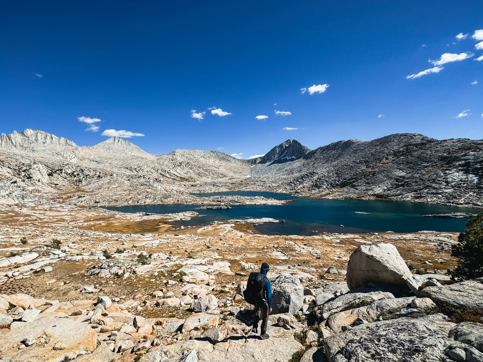
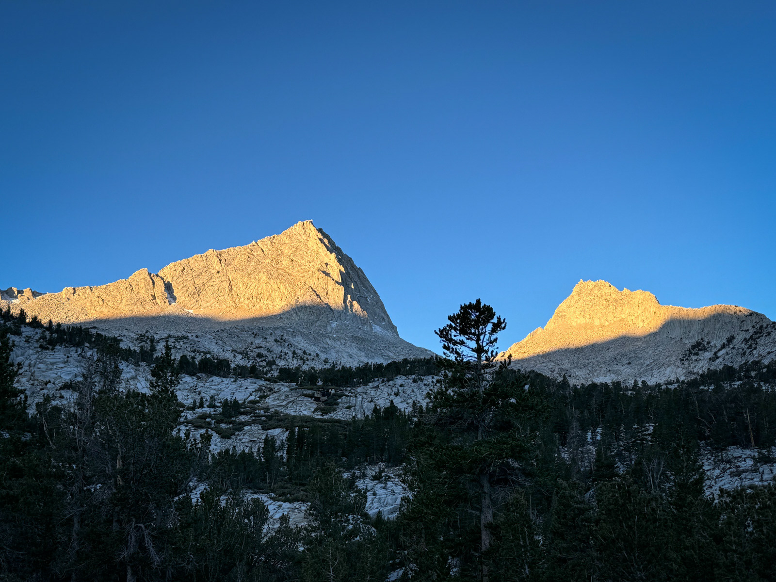
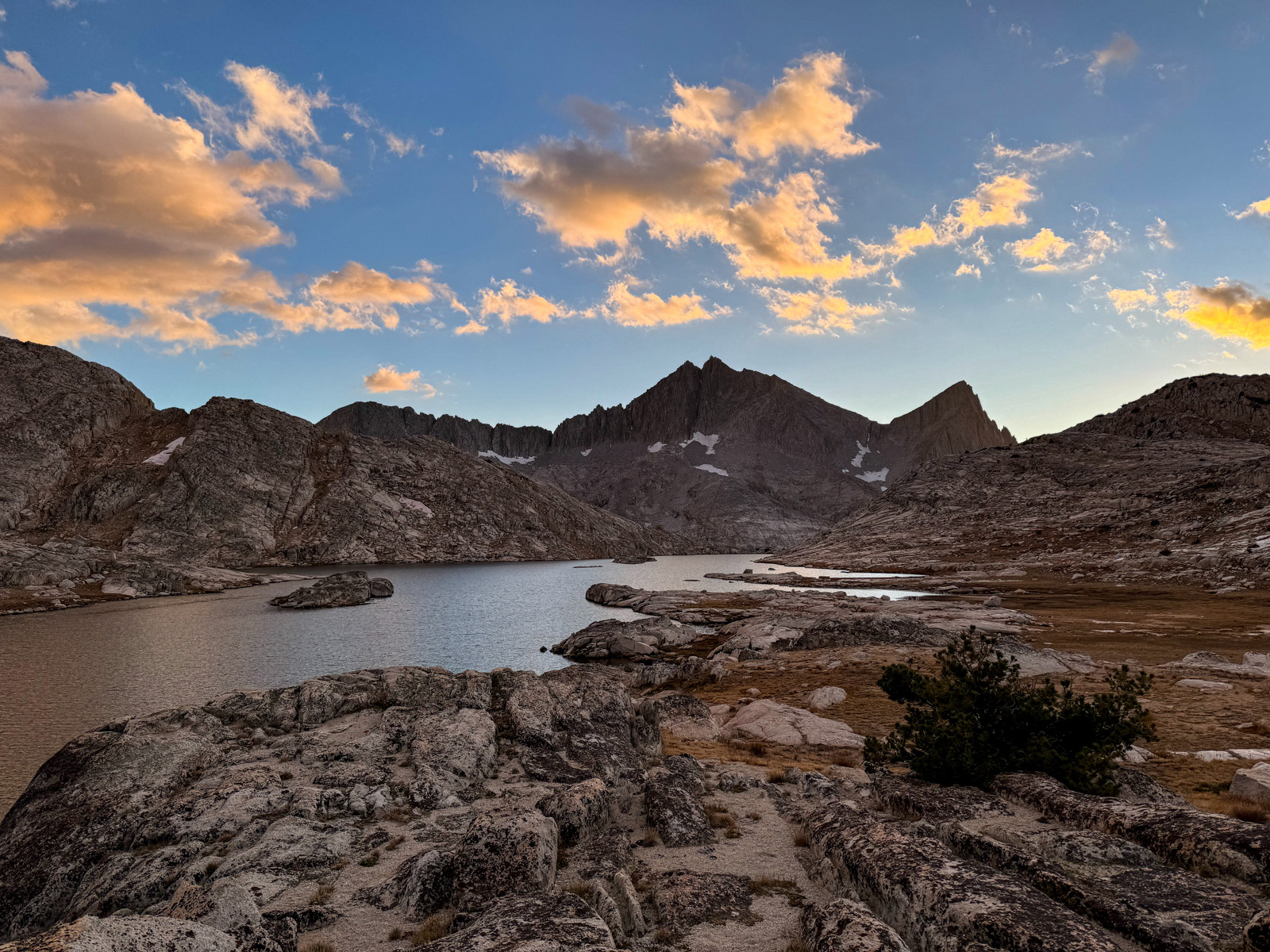
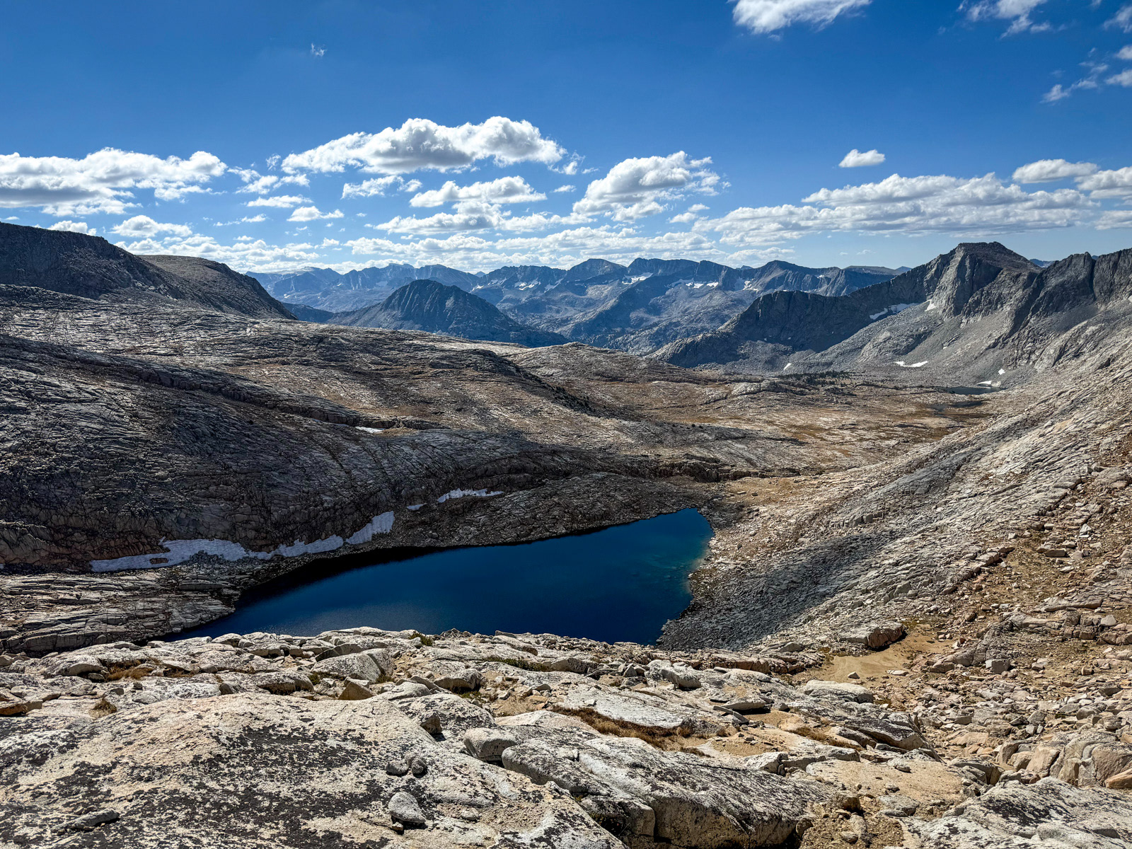
Eventually we were looking down on the main event, Vee Lake. We found a relatively protected spot from the afternoon wind. It was early, so we dozed and wandered around for hours. I’d like to come back sometime earlier in the season, as the grass and tundra were looking a bit yellow and dried out.

It was cool to see straight off to tomorrow’s pass from our tents – this is Feather Lite Pass.
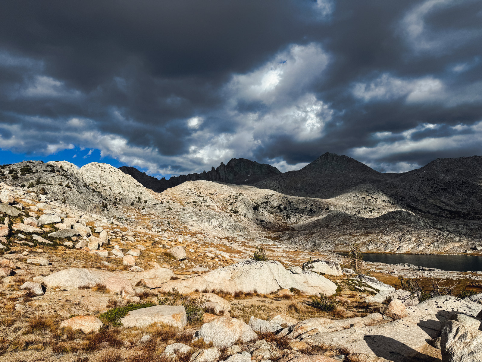
Clouds were building.
Vee is in a bit of a bowl surrounded by striking granite ridgelines, most notably the serrated 13,000 foot wall that holds Seven Gables.
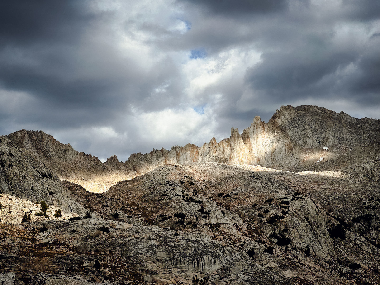
It’s rare to see this kind of light in the Sierra without an hour or three cowering in a tent at some point. Lucky us.
A little bit softer now.
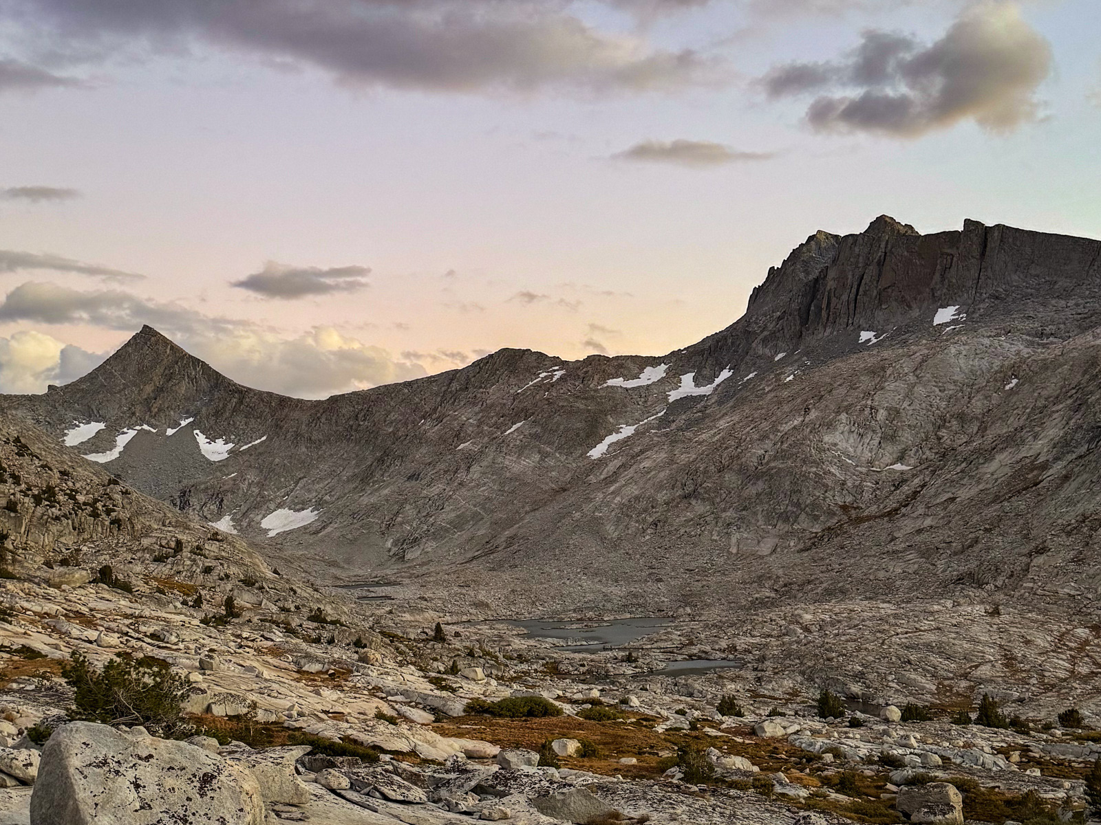

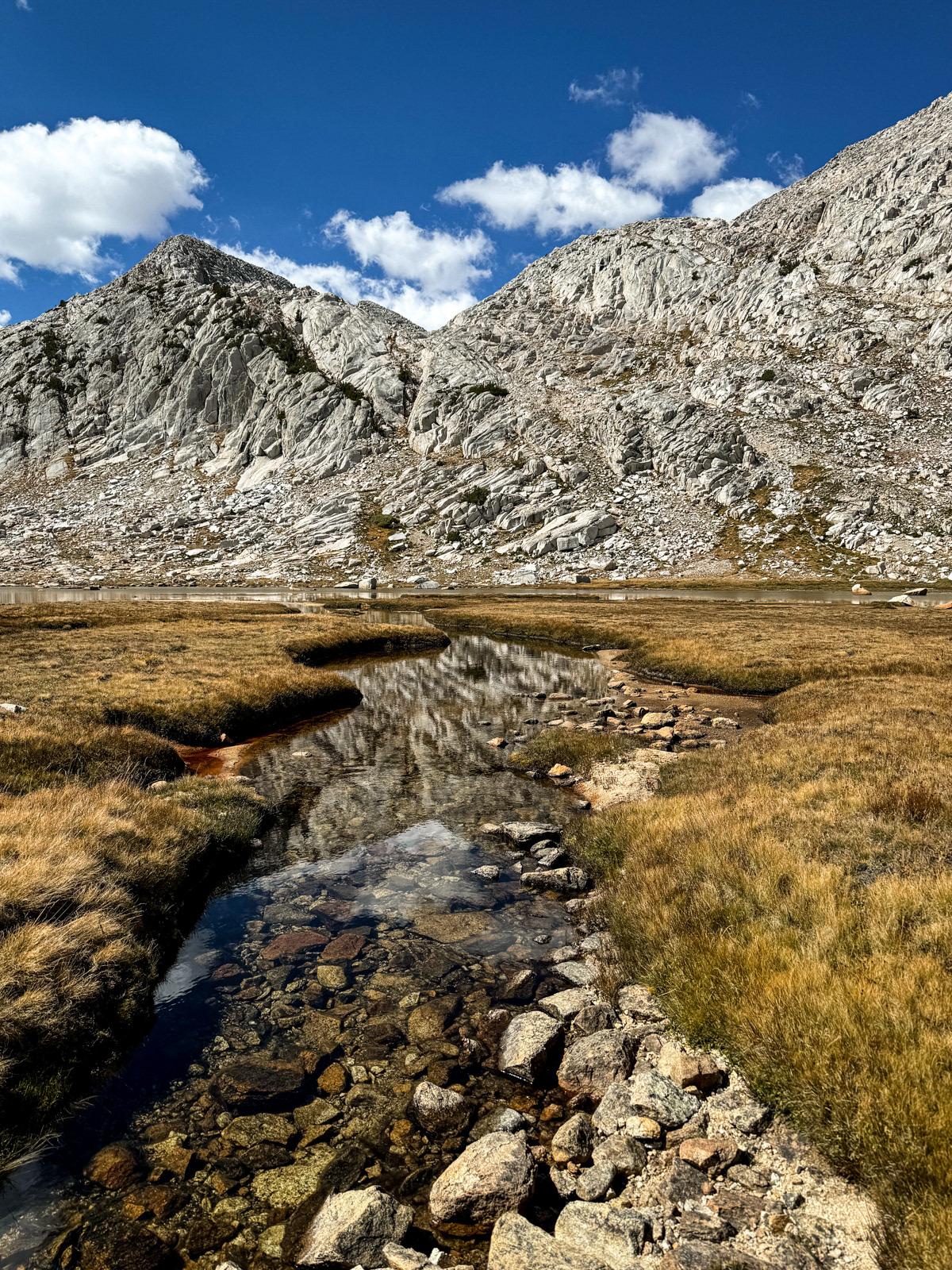
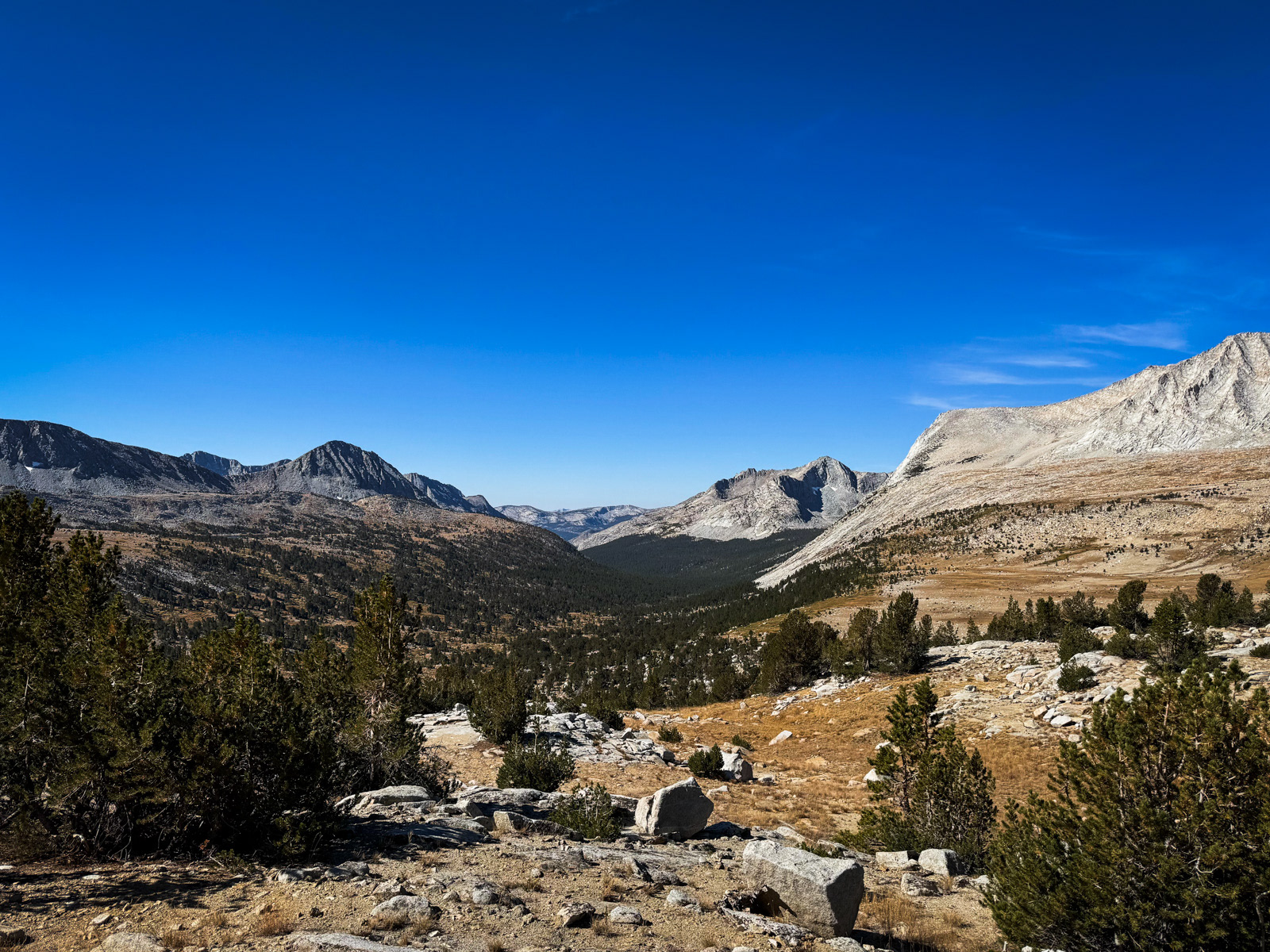
We walked all the way down to the lake’s outlet, and peered off towards Seven Gables Lakes to the south and the Bear Creek/JMT area to the northwest.
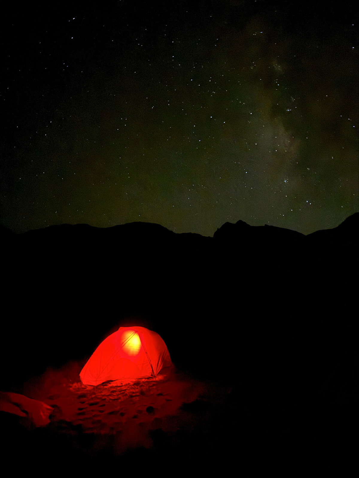
The stars came out. A good day!

I slept poorly, in brief bursts of strange and vivid dreams. It was one of those mysterious nights where my tent created more condensation than I thought could possibly exist.
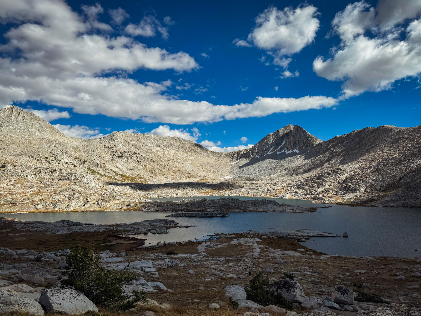
In fact, neither of us slept well, so we took a slow morning and weren’t out of camp until 9 AM. The walking was easy until the insignificant-looking hill below Den Lake. This steep, sandy hill was a beast for some reason.
Den Lake isn't much to write home about, though this photo might be!
From Den, we picked out a line: climb the grassy ramp at the northeast end of the lake (around the word “Lake” on the USGS topo), and then cut south across what looked like a long, easy ramp system. This ended up working well. The talus on the whole trip was surprisingly stable.
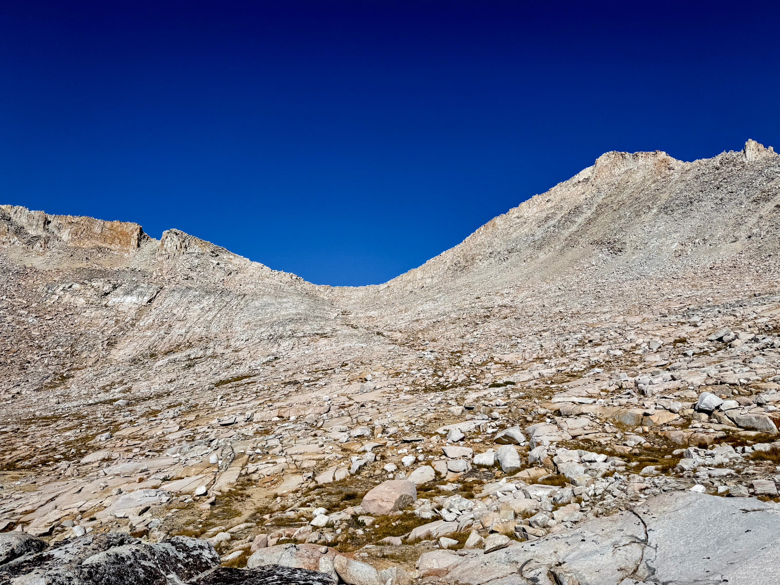
We soon hit a gully where we turned left and started climbing for real. Eventually we reached a broad flat spot before the final climb to Feather Lite Pass. It seemed obvious to climb the steep, gravelly sand on the left and cut across near the top to the pass itself. On the way up, we saw a few sets of deep, sandy footprints that had the same idea.
There is very little written about Feather Lite. Most everyone takes Feather, since it’s on Roper’s High Route. For the record: I really liked this pass (especially in this direction).

Once through the doorway of the pass, we were presented with another of the many glorious views in these mountains.
Another one.
A steep, sandy chute descends directly off the pass, almost like a trail off the pass itself. It was impossible to miss from above. We pseudo-skied our way down, avoiding the biggest boulders.

Soon we hit the prominent flat spot you can easily see in the previous photo. You could fit a bunch of tents here, if for some odd reason you wanted to do that. The chute we had taken is readable from down here, but surprisingly less obvious than from the pass. I would definitely try to locate it before heading up from this direction.
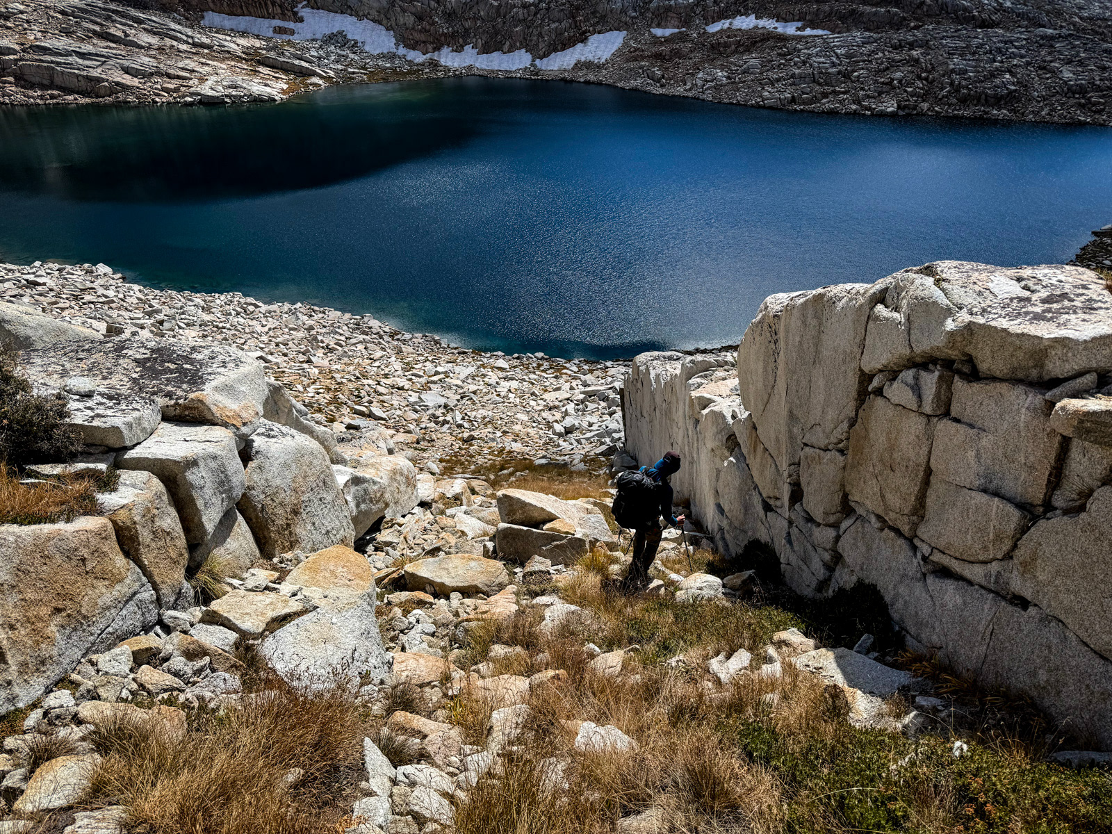
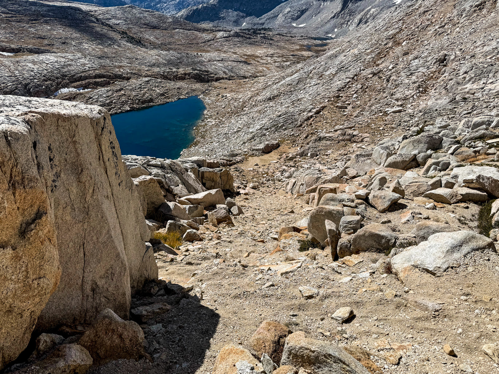
We took a steep, grassy chute down to the lake that went fine but was actually a bit annoying. The late season grass had grown tall and blown over, which made rock faces surprisingly slippery underfoot. (One of us tripped and fell here.)
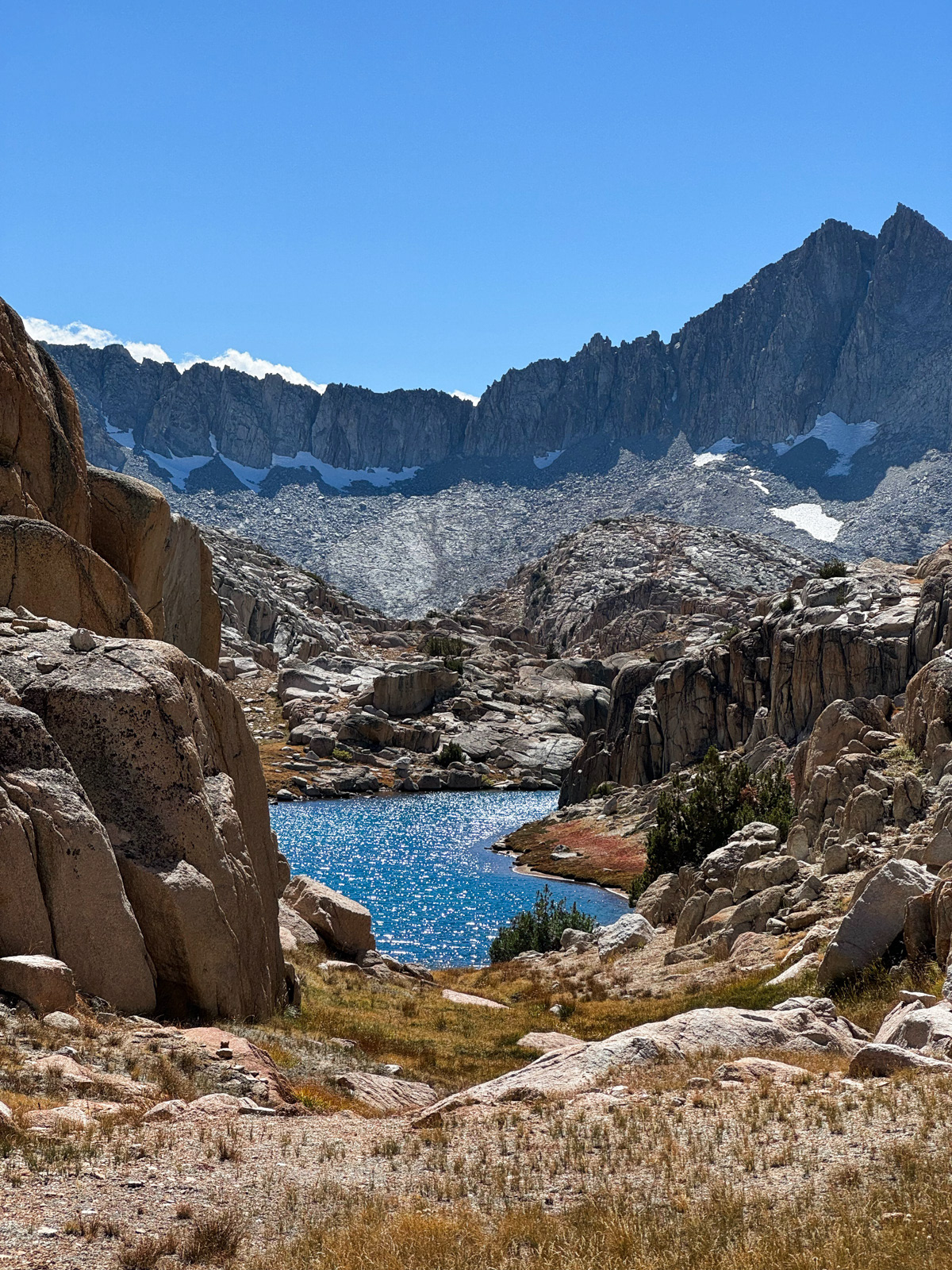
But soon enough we were at La Salle Lake. We negotiated a bit of talus and then were on our way down the drainage.
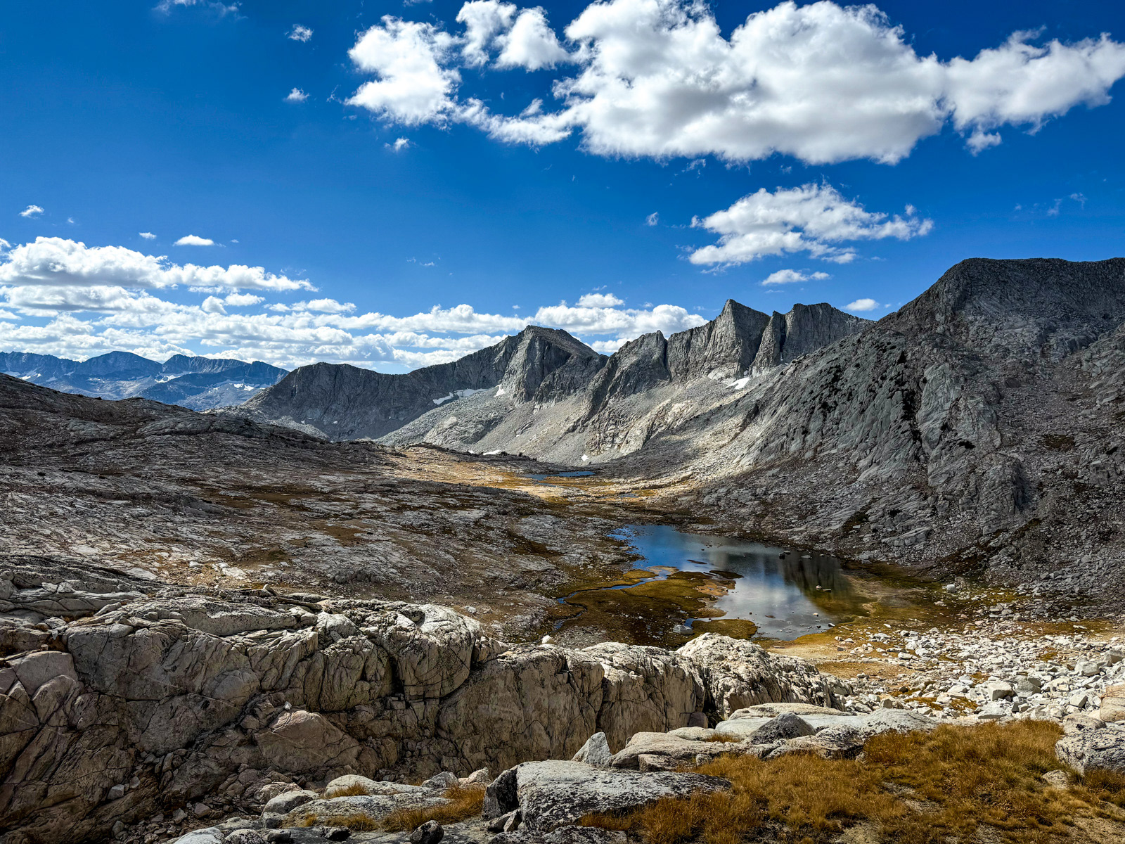
Photo of the trip.
Getting down to the next succession of lakes was a little more involved than I expected. In the process, I even left a bit of my blood on a rock. Charge it to the game.
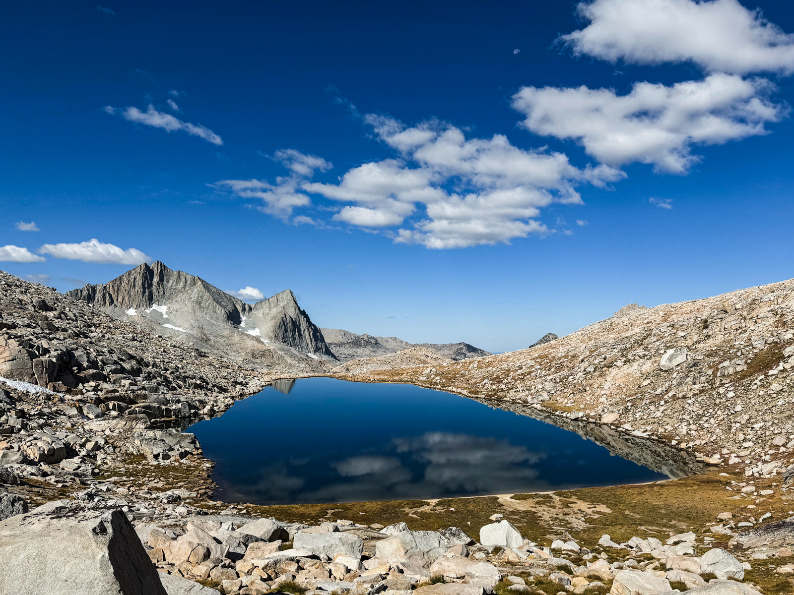
The use trail down to Merriam Lake is on the east side of the creek, and went fine. I wonder how easy it is to find from below. We paused at Merriam for an hour.

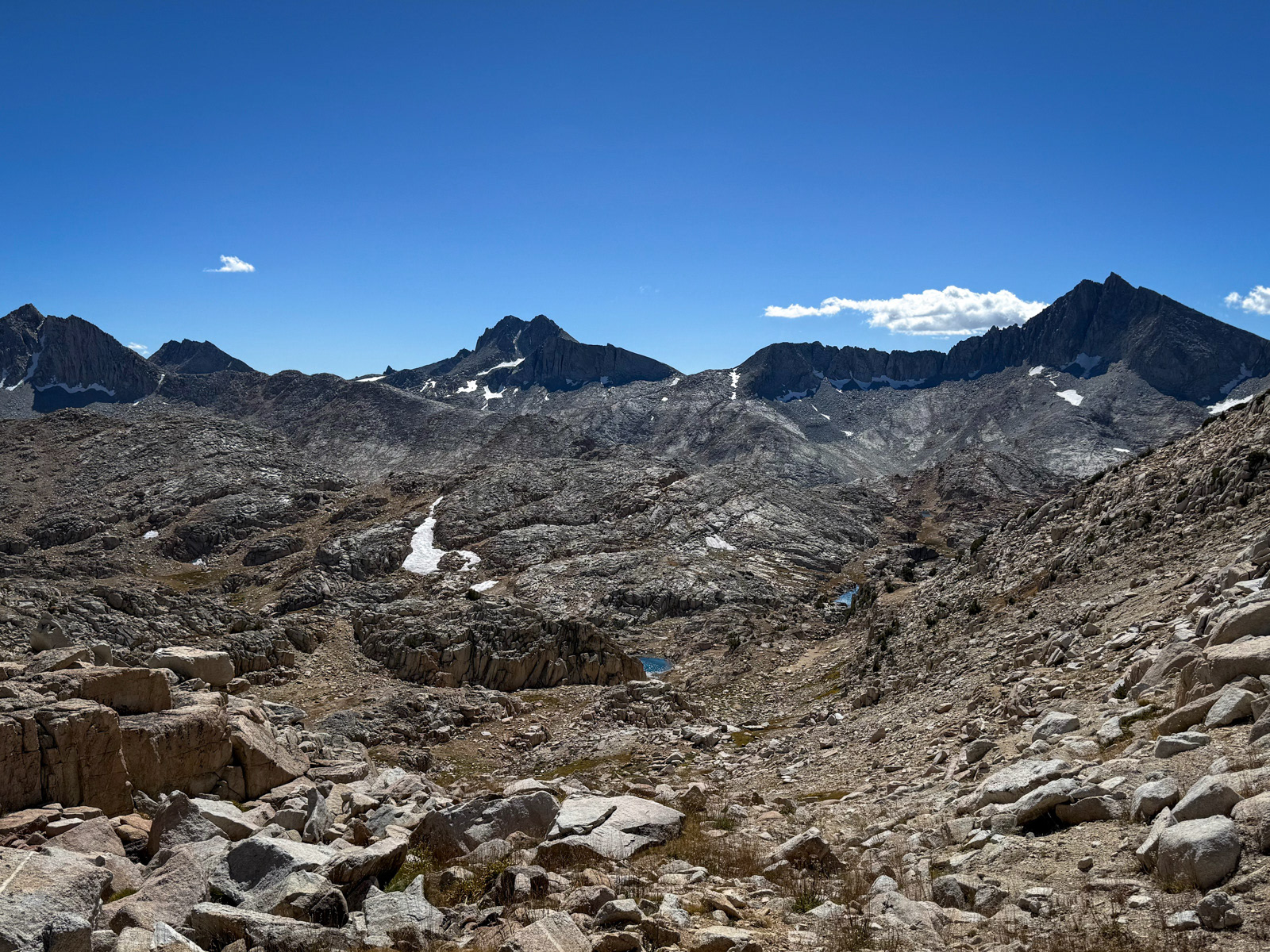
We followed and then lost the use trail to French Canyon. We ended up too far south along the plateau below Merriam, but it was all good and beautiful walking any which way you went. (The tallest, pointiest thing peaking out in the left-center in this photo is Mt. Humphreys.)
We bushwacked back to the main trail just as it plunges down the canyon wall. It got quite steep closer to the bottom, where we ran into a group heading up to the lake, the first people we’d seen in a while.
We plodded up the French Canyon trail for a mile and a half before steering ourselves up to Elba Lake on a decent cross country line, starting maybe a tenth of a mile south of the lake’s outlet. The lake itself looked a bit late-season low, and there was quite a lot of horse poop in spots.
The area around the lake’s outlet was nice and we found a glorious spot tucked into a copse of trees, sheltered and cozy but with the vast Sierra just beyond.
We watched the clouds throw light around.
This long bench of lakes feels like it's part of Humphrey's Basin to the southeast, even if it technically isn't.
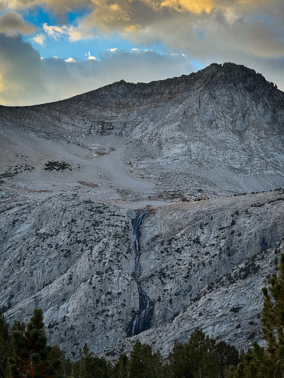
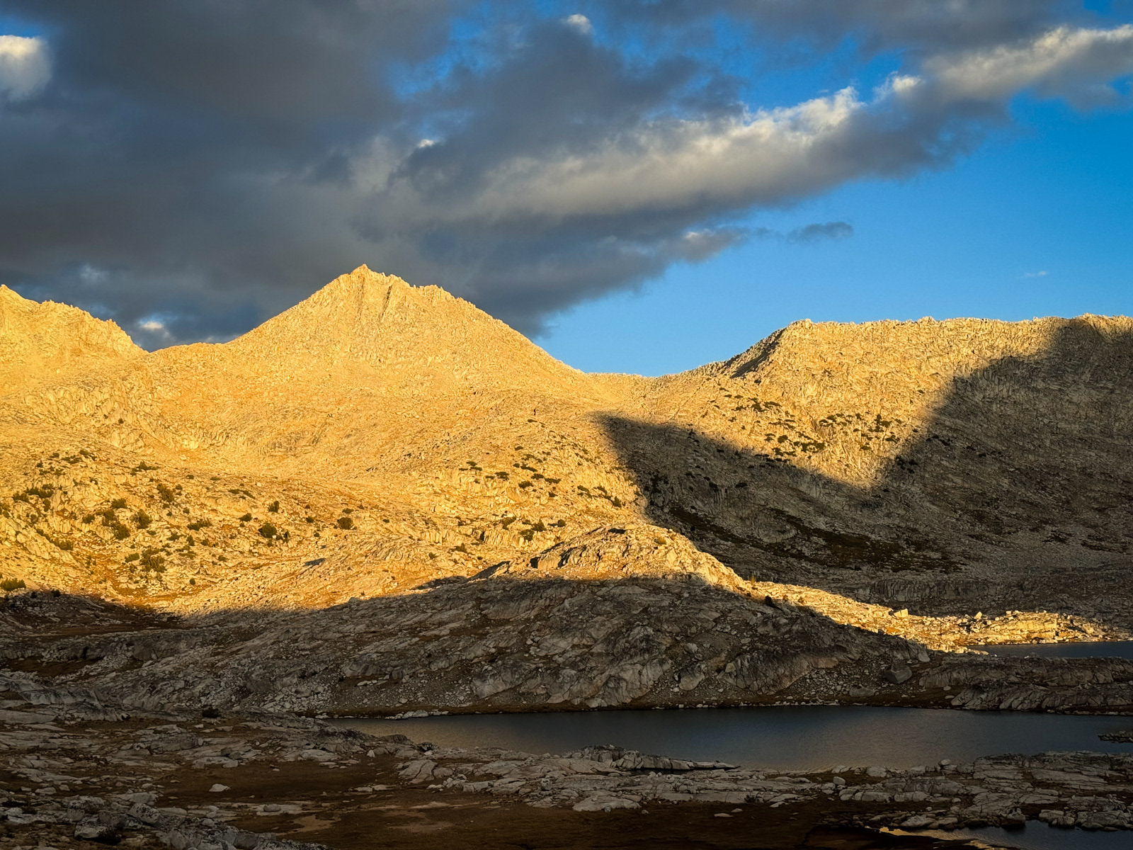
The Royce Lakes waterfall is one of the few that earns a shout out on Sierra topo maps. Even this late in the year, you could hear it booming from across the canyon.
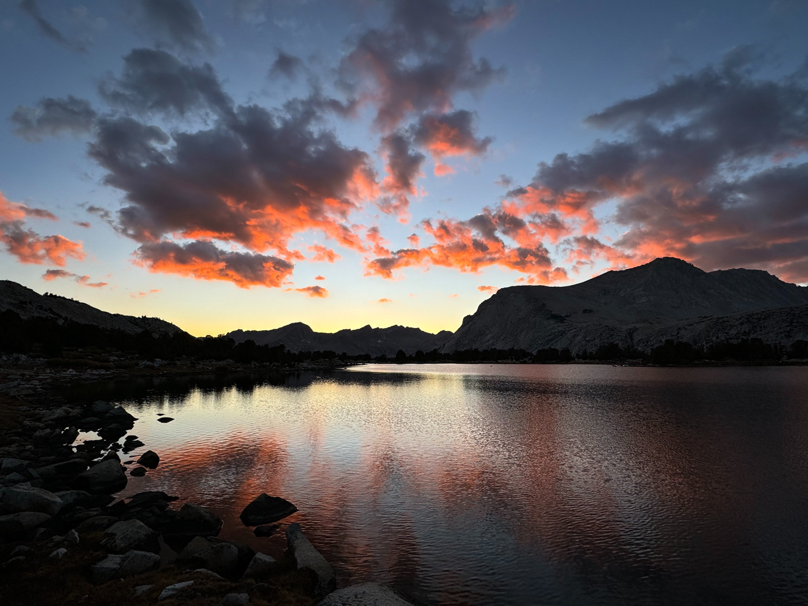
We started our post-dinner walk a bit late, and the clouds were already aflame. It was another great day.
We had tons of condensation overnight again. We left Elba and walked the use trail to Moon and L Lakes, with Moon appearing to be the most attractive of the three.
The use trail died off at L Lake, but it was smooth sailing on open meadow and boulders until we dropped below French Lake. The mountain in shadow here is called Peak of the Four Winds – cool name.
Heading up to the lake involved two or three similar looking upward avenues of boulders and grasses. We charted a course from across the way and more or less followed our noses up to the lake.
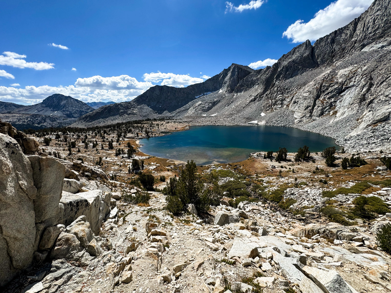
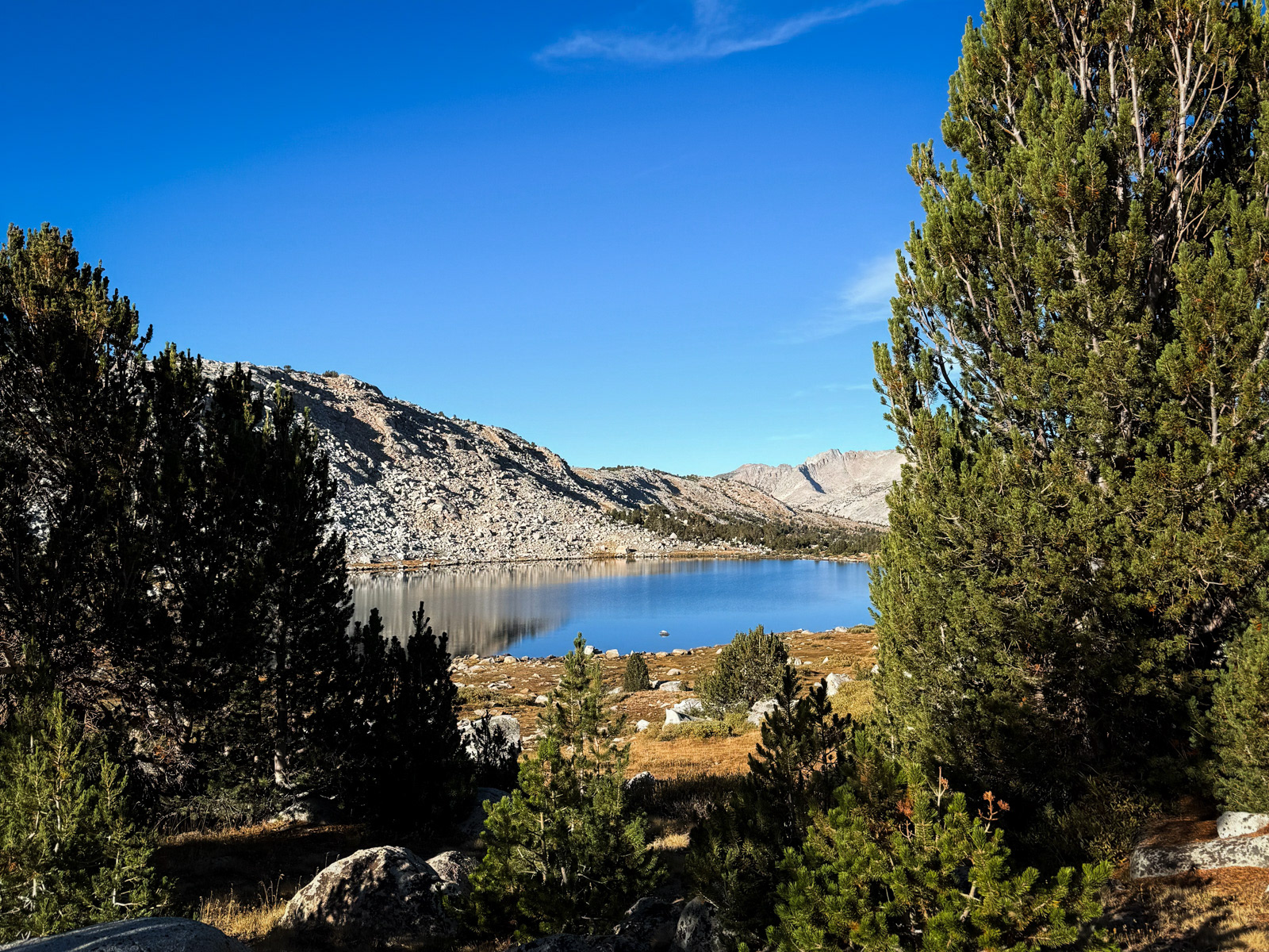
French Lake is nice. Too large and exposed for me to fall in love, but gorgeous and clear and very deep.
We worked around the south shore, which rises quickly off the lake, and contoured around the head of French Canyon for one last view before meeting the trail at Pine Creek Pass.
We motored down the trail and made it to the car by 2 PM. We had somehow left both front windows open. How!? Fortunately no weather, animal, or other interested party had taken advantage of the situation over the last four days.
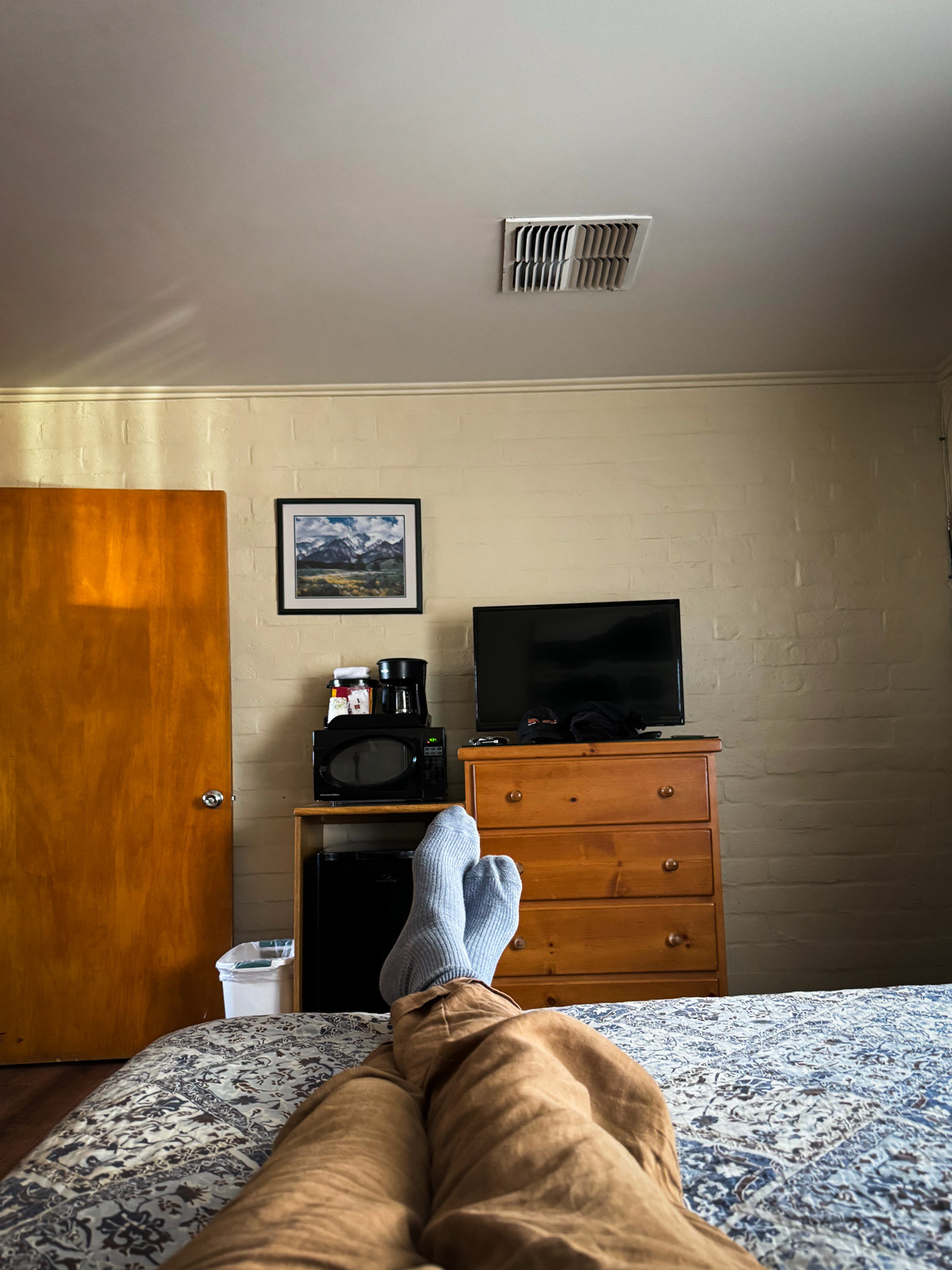
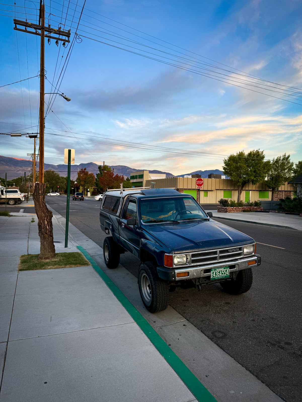
Soon we were posted up at one of Bishop’s fine motels, enjoying intense water pressure, dinner at the Mountain Rambler, and a quiet wander down some side streets. I was happy to see a lifted truck with Vermont plates, way out west.

We spent four late season days in one of the perfect corners of the Sierra, with great weather and no smoke. Lucky! I’d recommend this route to anybody. You could also switch it up: perhaps use Granite Bear (after the snowfield has shrunk a bit) to get into Bear Lakes Basin more quickly than we were able to via Italy/Dancing Bear. The Italy Pass area was not a highlight for me, so skipping it wouldn't make a worse trip to my eyes. To exit Bear Lakes, you could use Feather instead of Feather Lite, or even BeaRoyce and explore Royce Lakes instead of the Merriam Lake zone. All of the above is considered class 2. You should go.