August 30 - September 2, 2025
Labor Day is a prime Sierra weekend -- and an increasingly smoky one. In 2025, I was planning to spend it hiking out of Vermilion Valley Resort on a Mono Creek permit, but that trip was canceled thanks to the raging Garnet Fire.
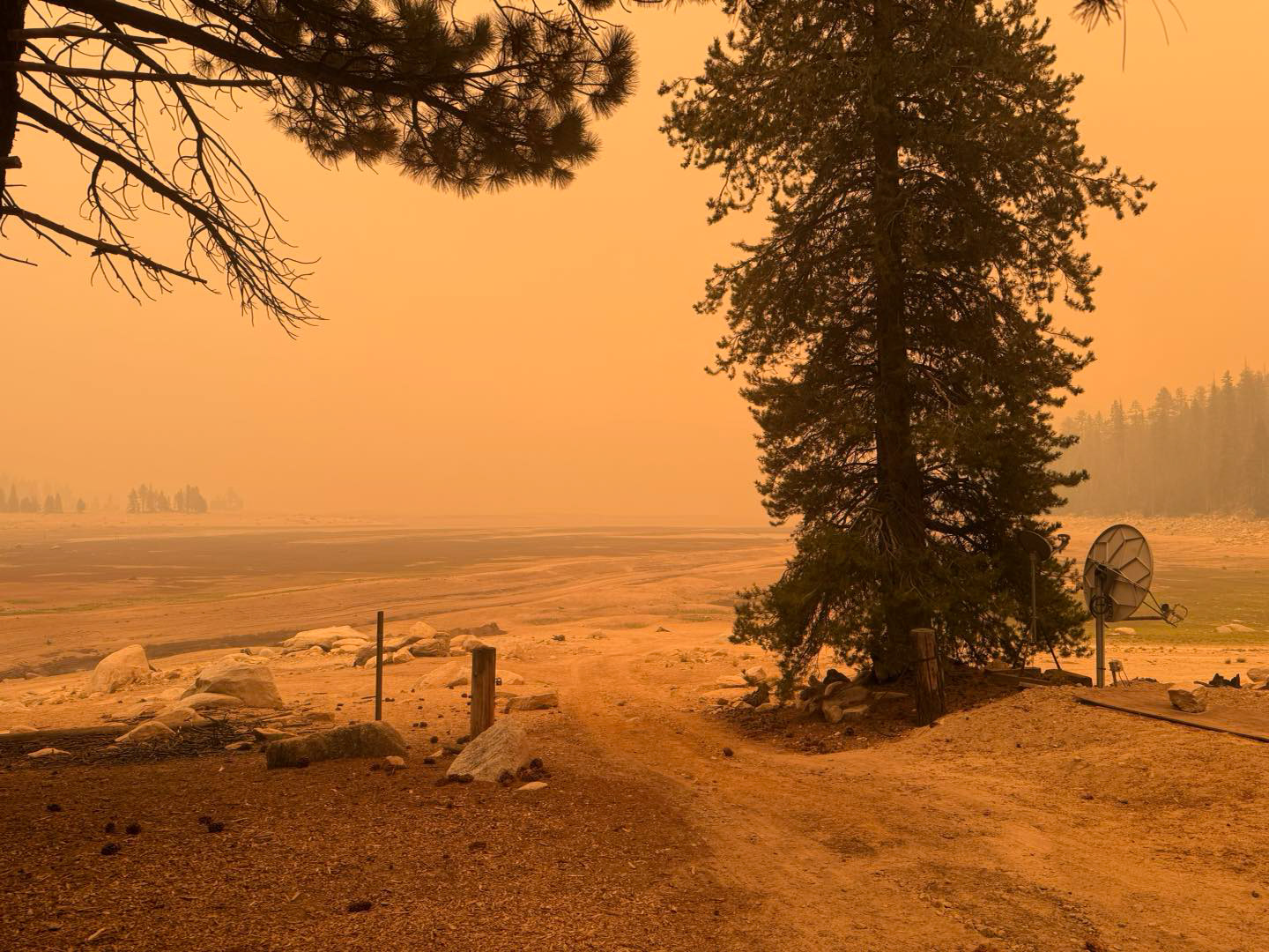
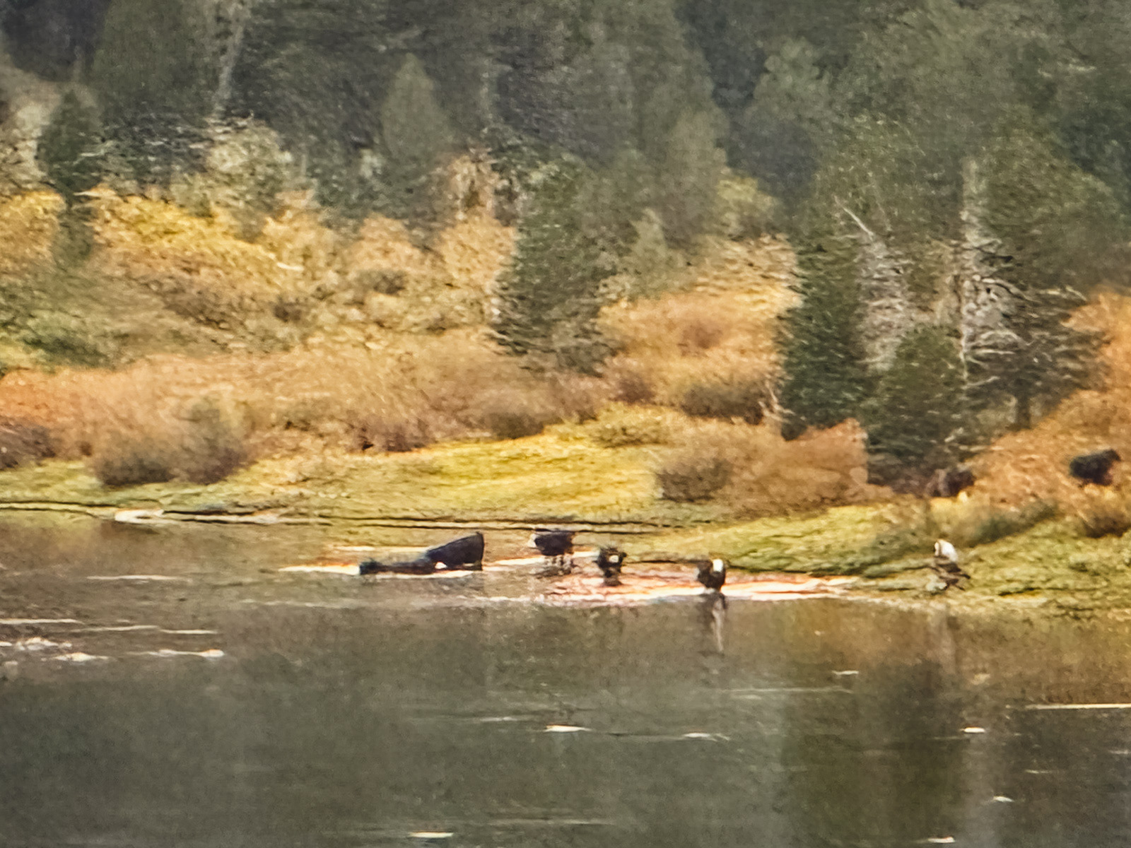
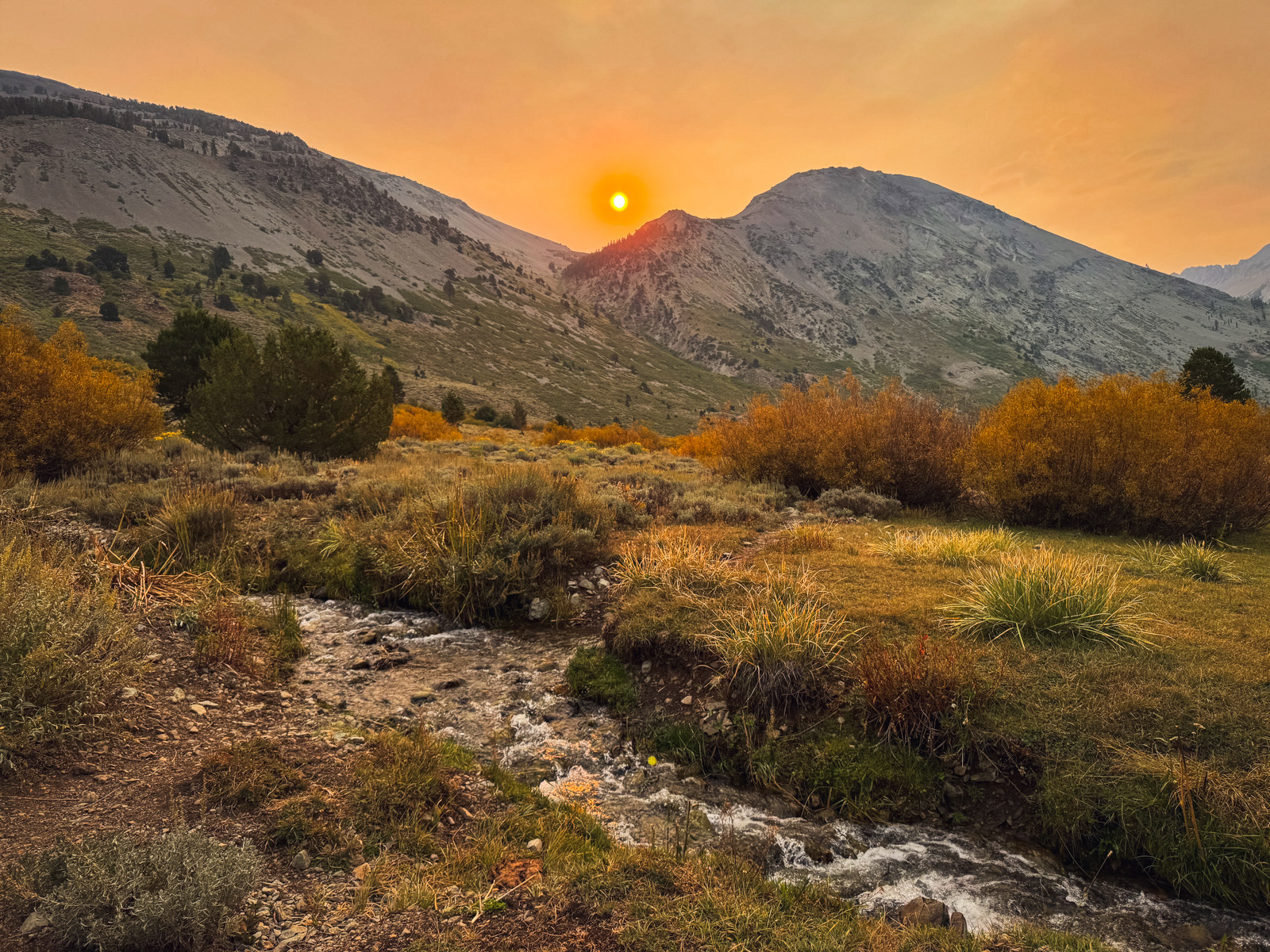
And for good reason! VVR looked like this:
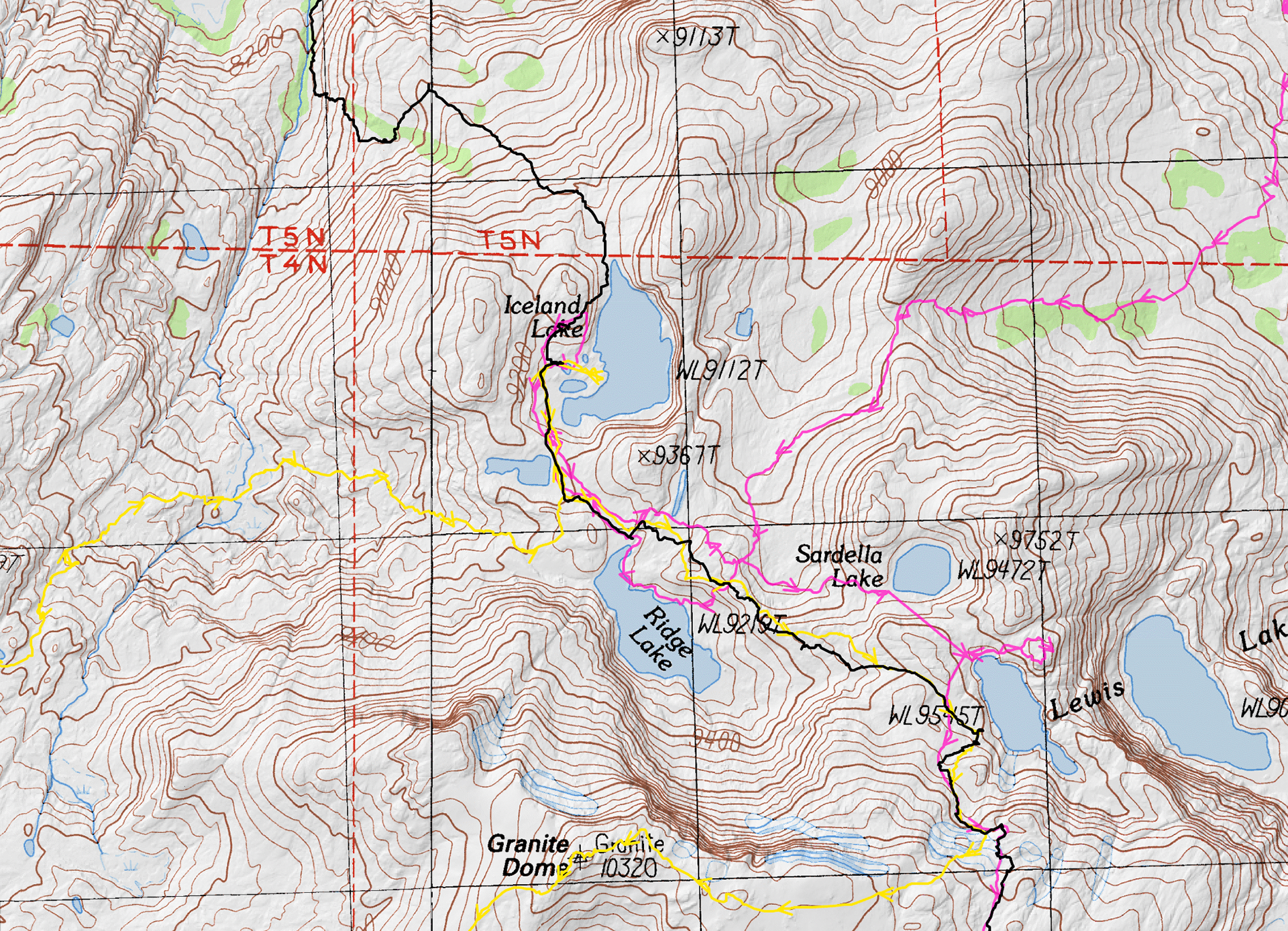
So, my friend and I pivoted to our old standby of Emigrant Wilderness, and specifically to some lightly traveled eastern zones that neither of us had seen. Emigrant was a healthy 100 miles north of the fire, which sounded far enough. Although we've seen a large percentage of what Emigrant has to offer, there were a string of lakes at the southeastern edge (and more over the border into Yosemite) that I've been meaning to get to because they are a couple of days from any trailhead. The terrain is a bit less granitic and a lot less visited.
We were on the road at 6:30 AM and hiking out of the full, holiday weekend parking lot of Kennedy Meadows by 11:30. It was hot, but not horribly so.
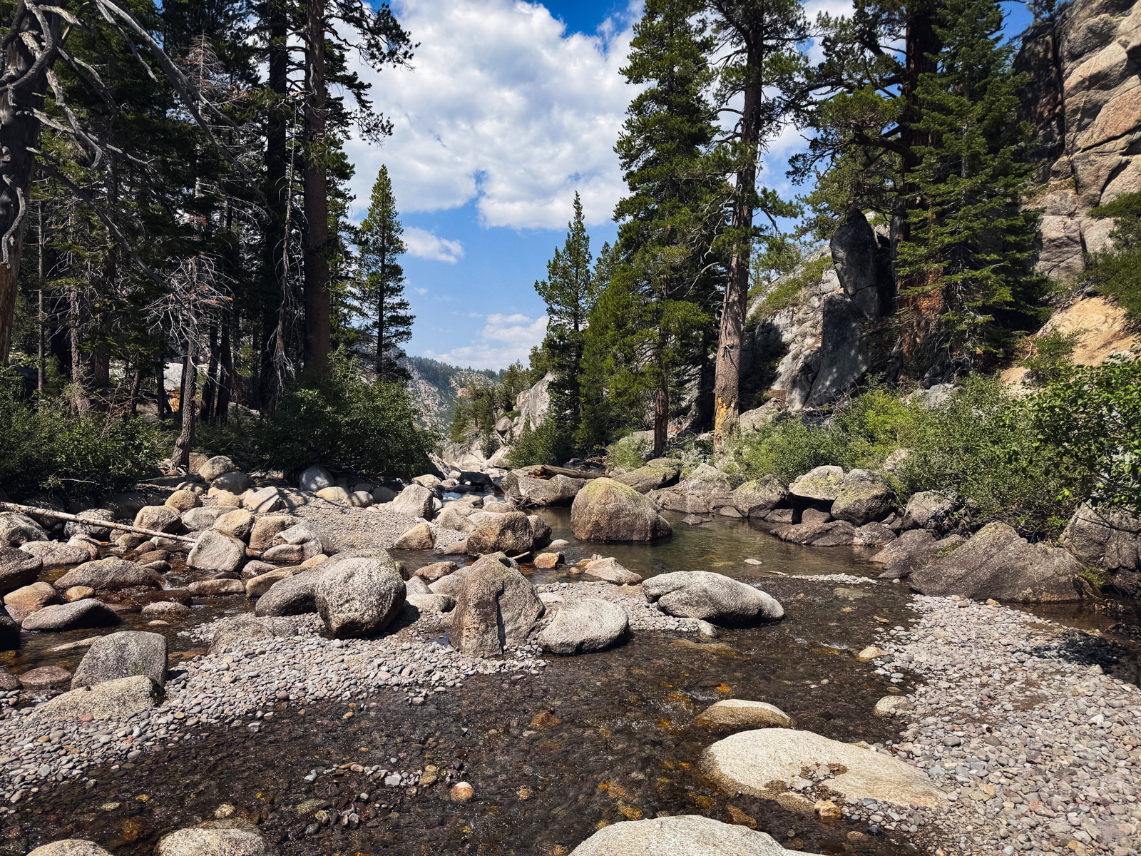
We made good time to the intersection with the Relief Valley trail, where we turned right – a small chunk of new trail for both of us. Here is Summit Creek, still moving well, but many leagues below its raging early season flow.
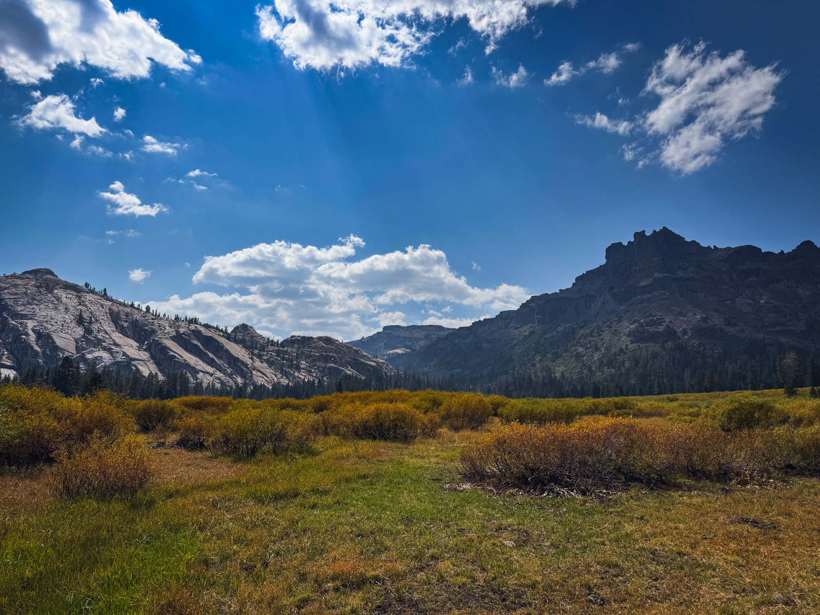
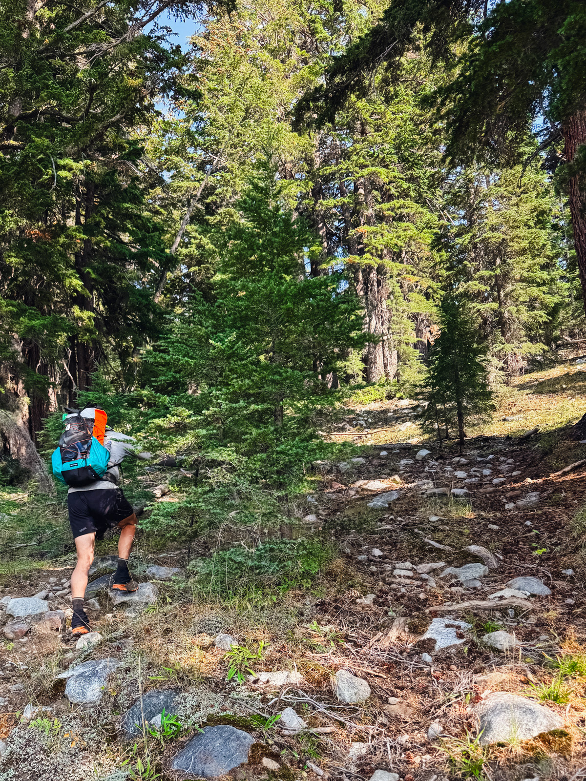
Soon we popped out at Lower Relief Valley and left the trail. The meadow is quite pretty. Unfortunately, it was also besieged by cow poop.
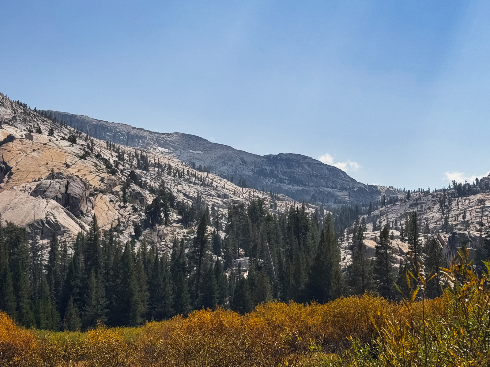
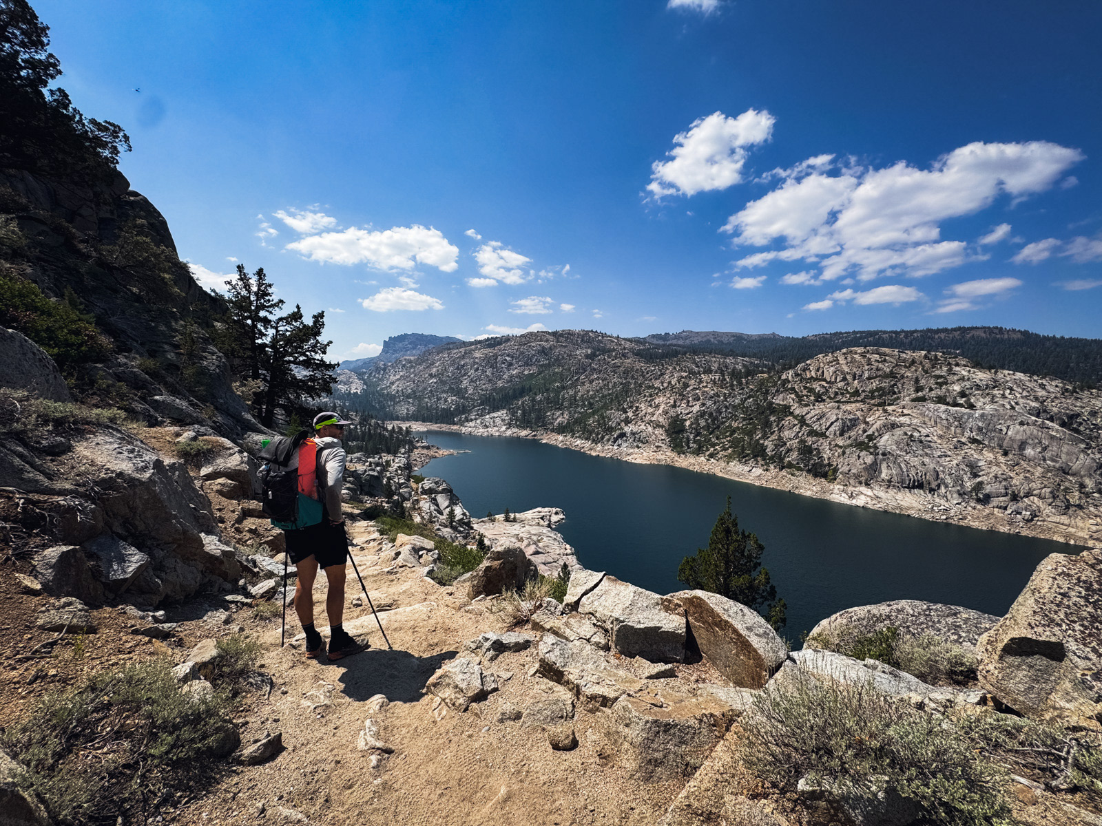
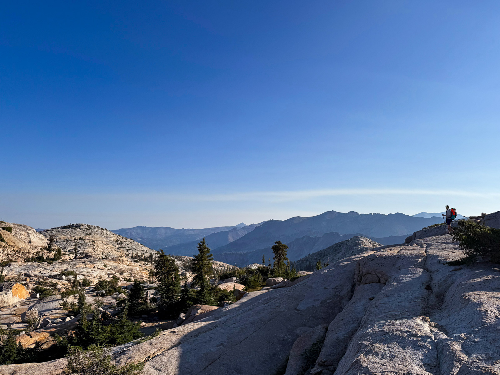
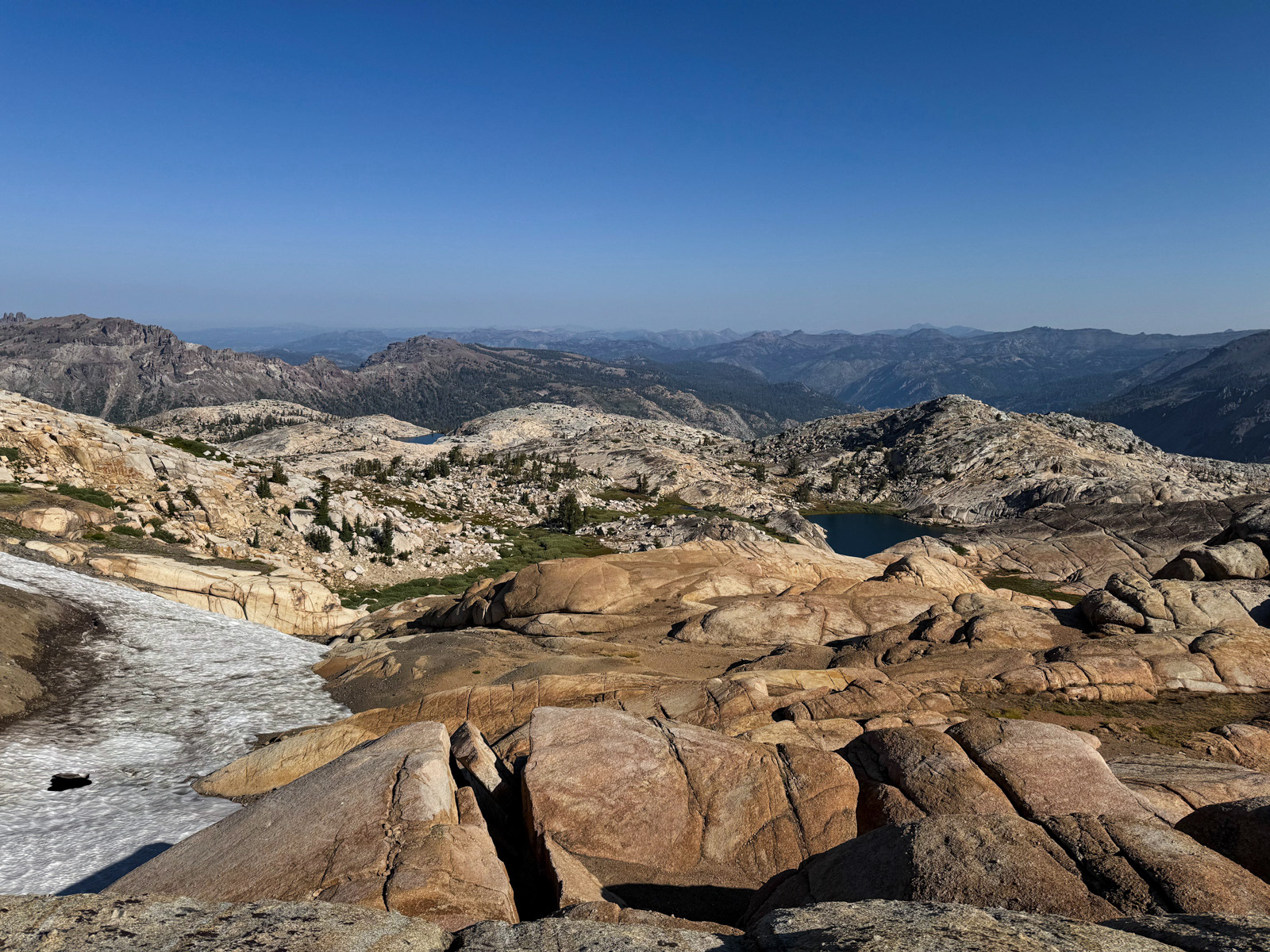
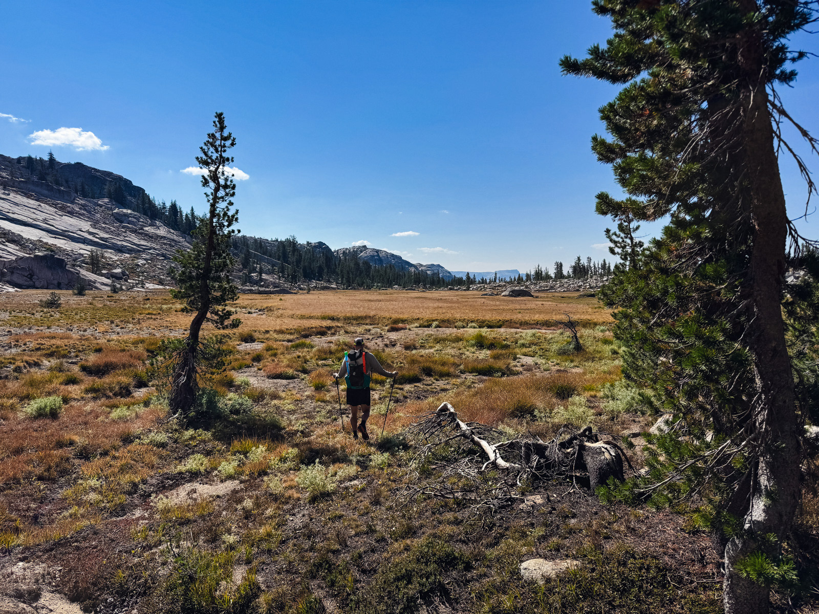
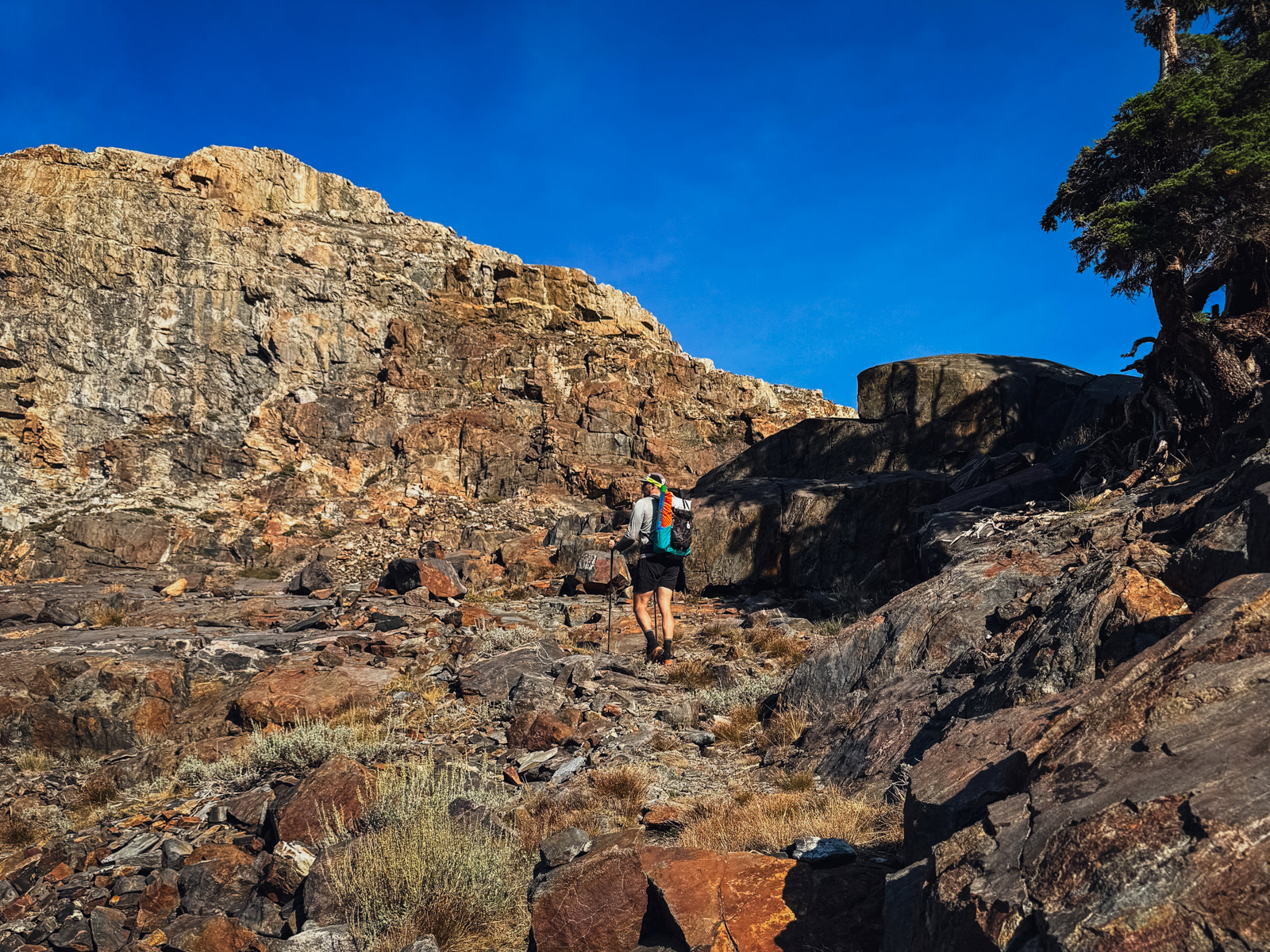
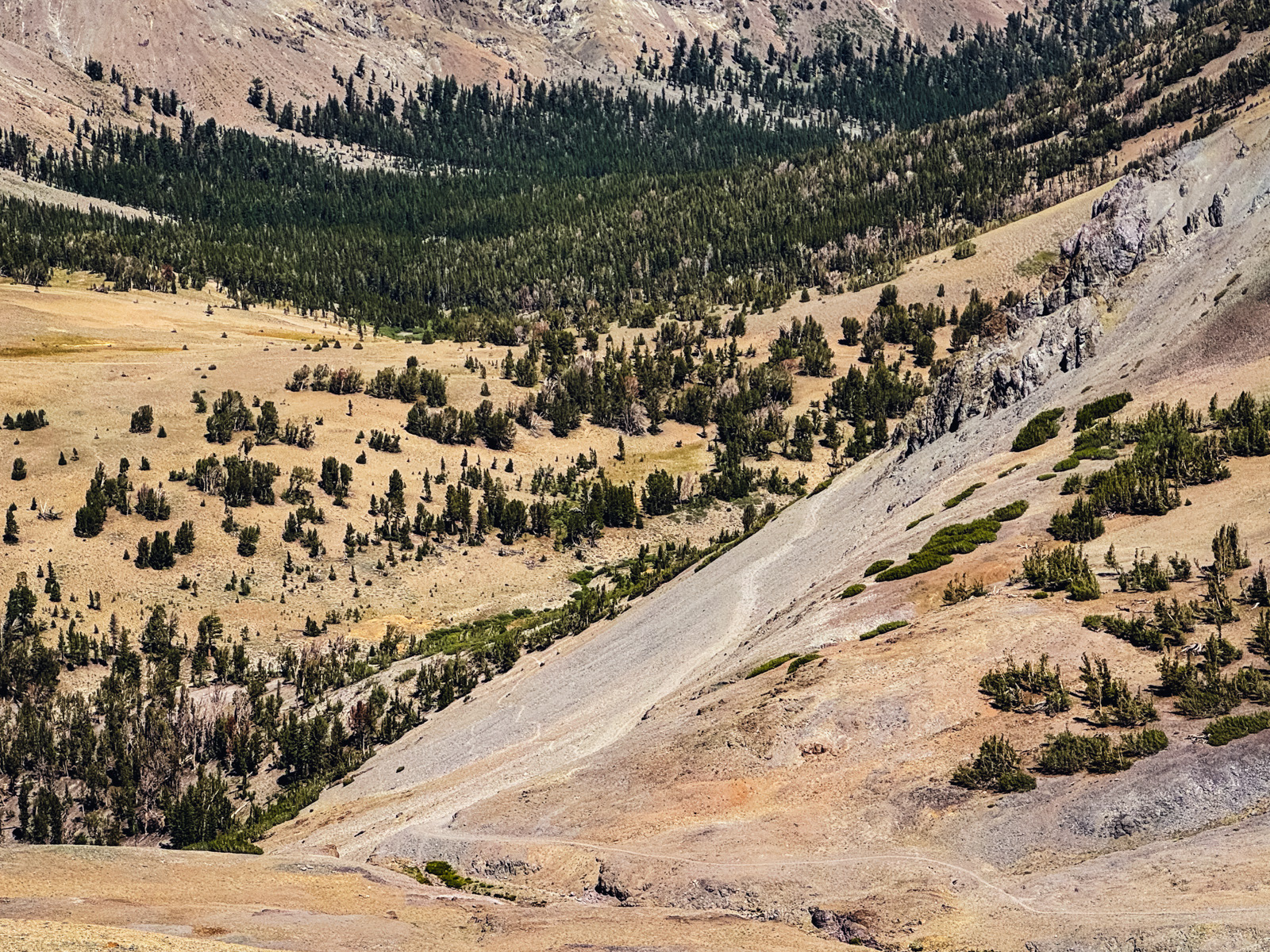
We were headed for Iceland Lake, and you can see part of our route: climbing a bit of the tree-filled canyon rising to the right in this photo before following the slabs in the sun to the left.
It was straightforward Emigrant stuff.
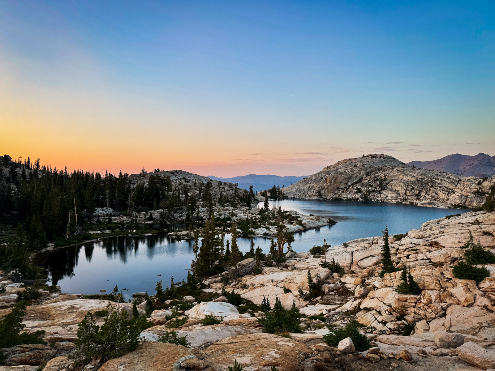
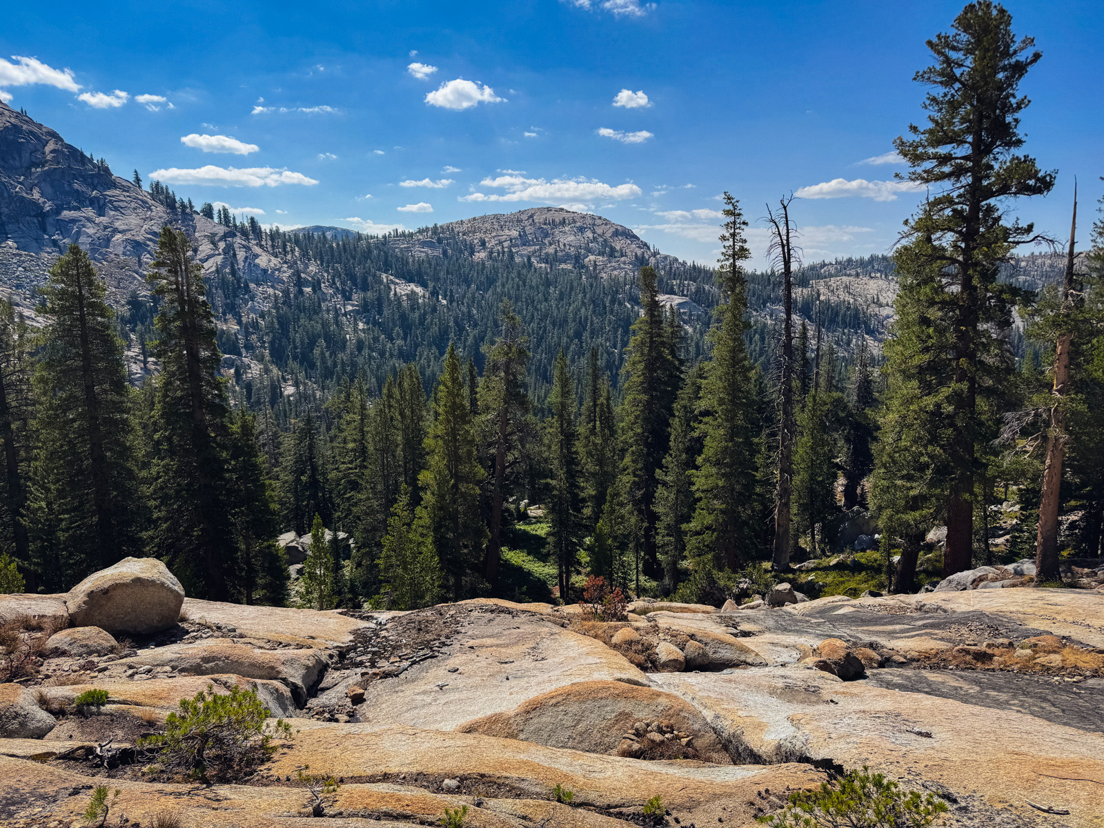
Looking back toward the Reservoir.
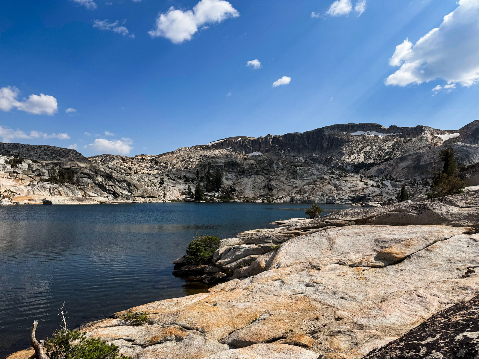
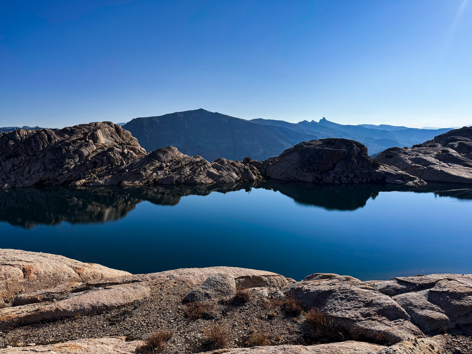
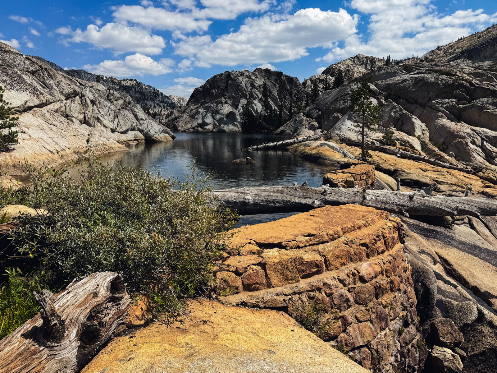
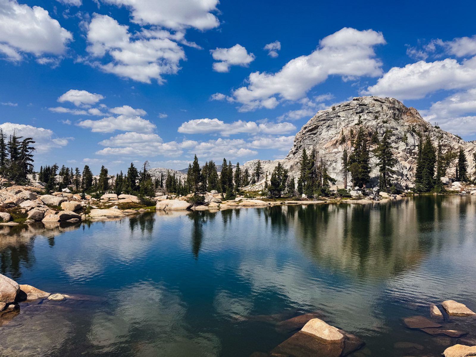
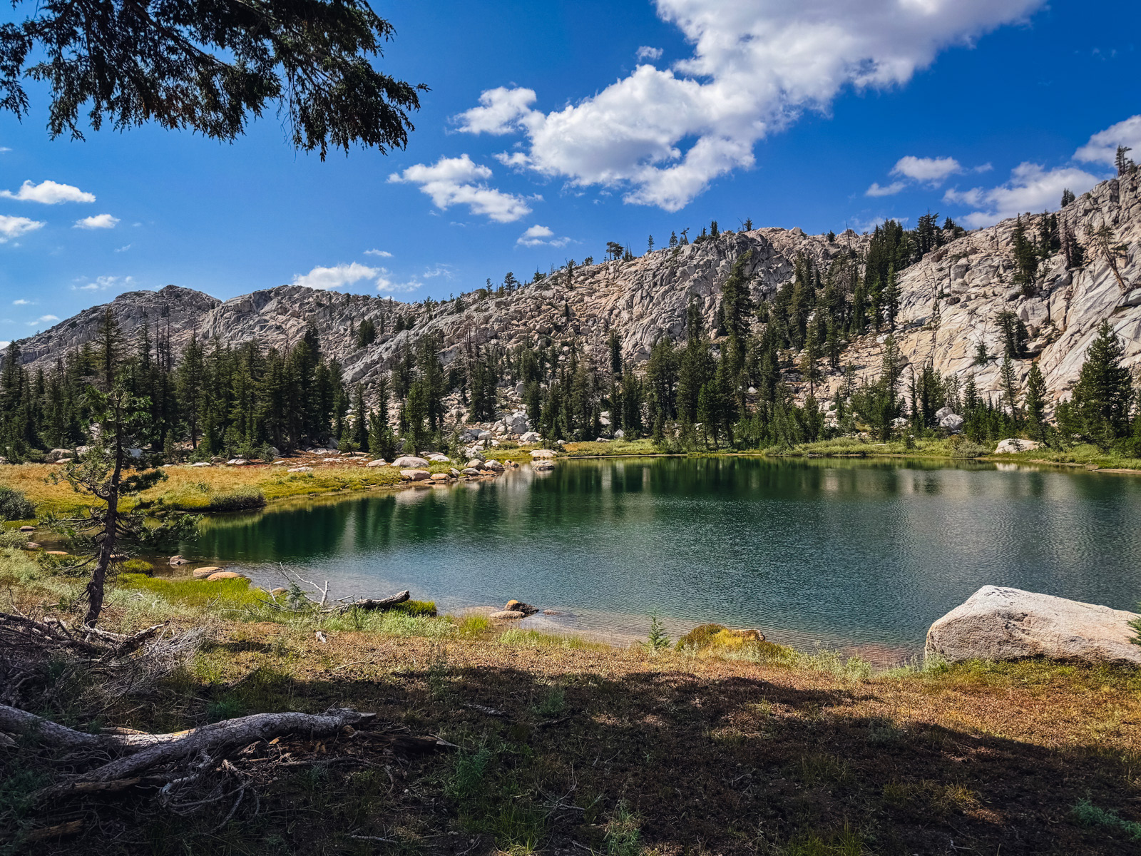
We made it to Iceland Lake by 3:30.
This was our third time at the lake, and the third route that we’ve taken to reach it.
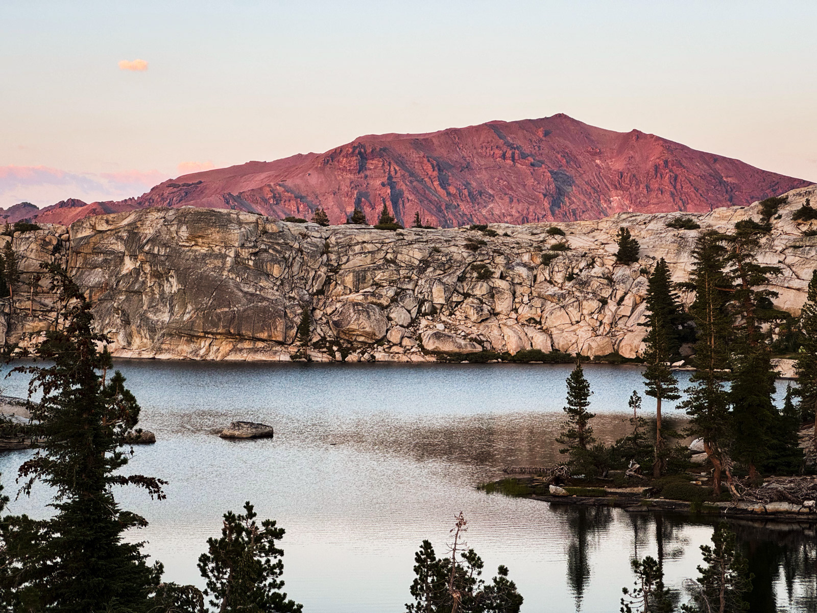
A great sunset.
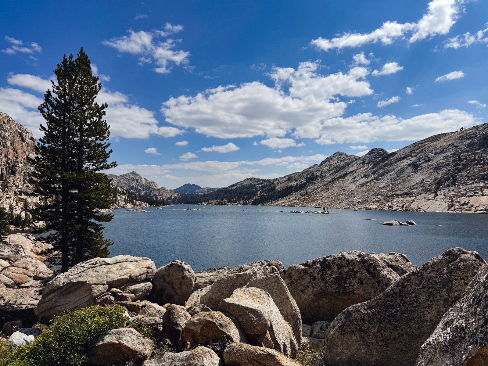
A great lake.
We were walking by 7:45 the next morning, headed toward Granite Dome. This was my third time walking this way, yet we managed to get caught up in a morass of refrigerator and car sized boulders that I hadn't seen before, featuring some creepy voids of dark, cold air between talus hops. Mysterious! I took no photos.
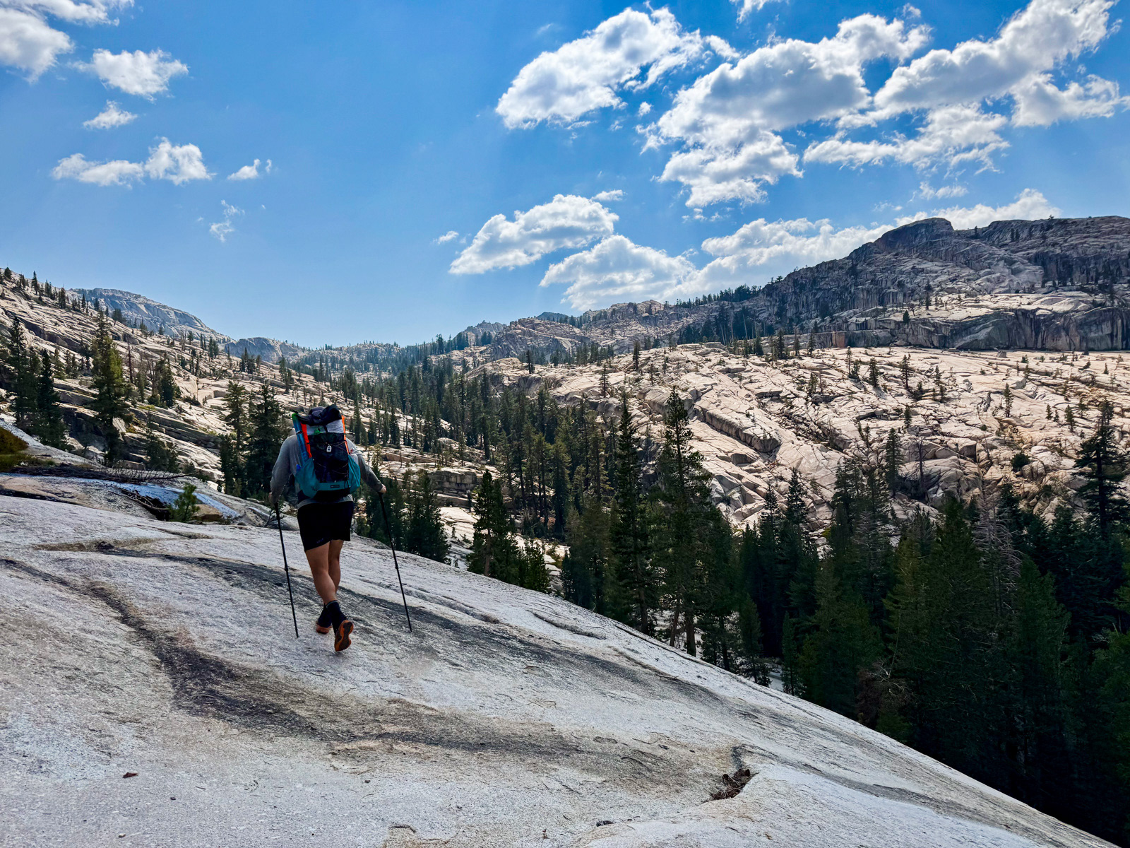
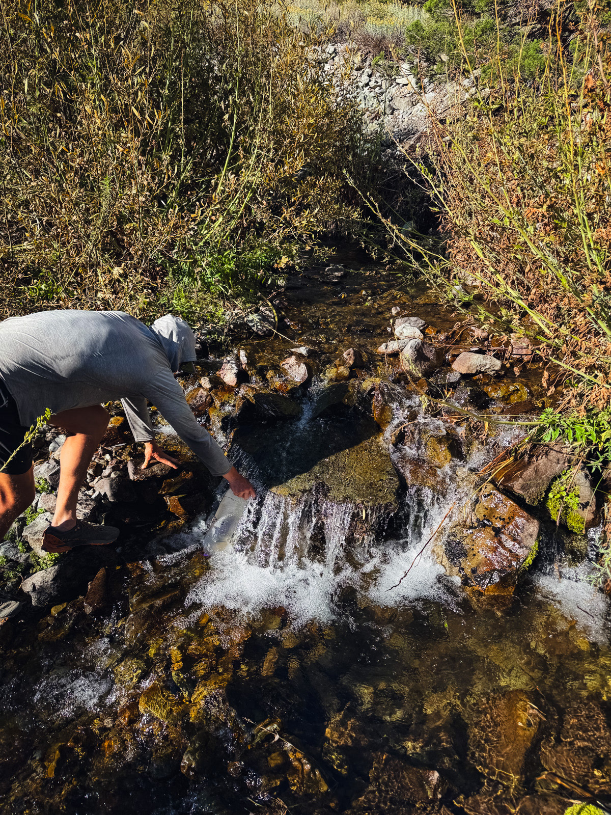
Soon enough we were on the familiar, smooth slabs that lead to this beautiful spot above Upper Lewis Lake. We stopped to fill up on water from a snowmelt creek pouring off Granite Dome.
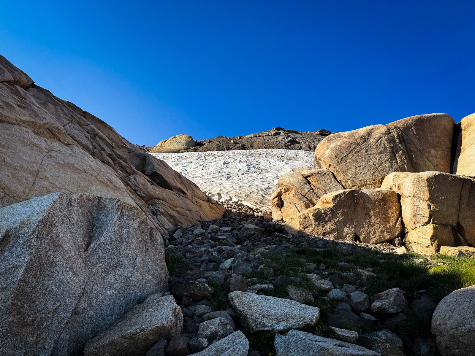
Then it was up toward the snowfield below Granite Dome, which we skirted as usual on blocky steps to the east.
Looking back north.
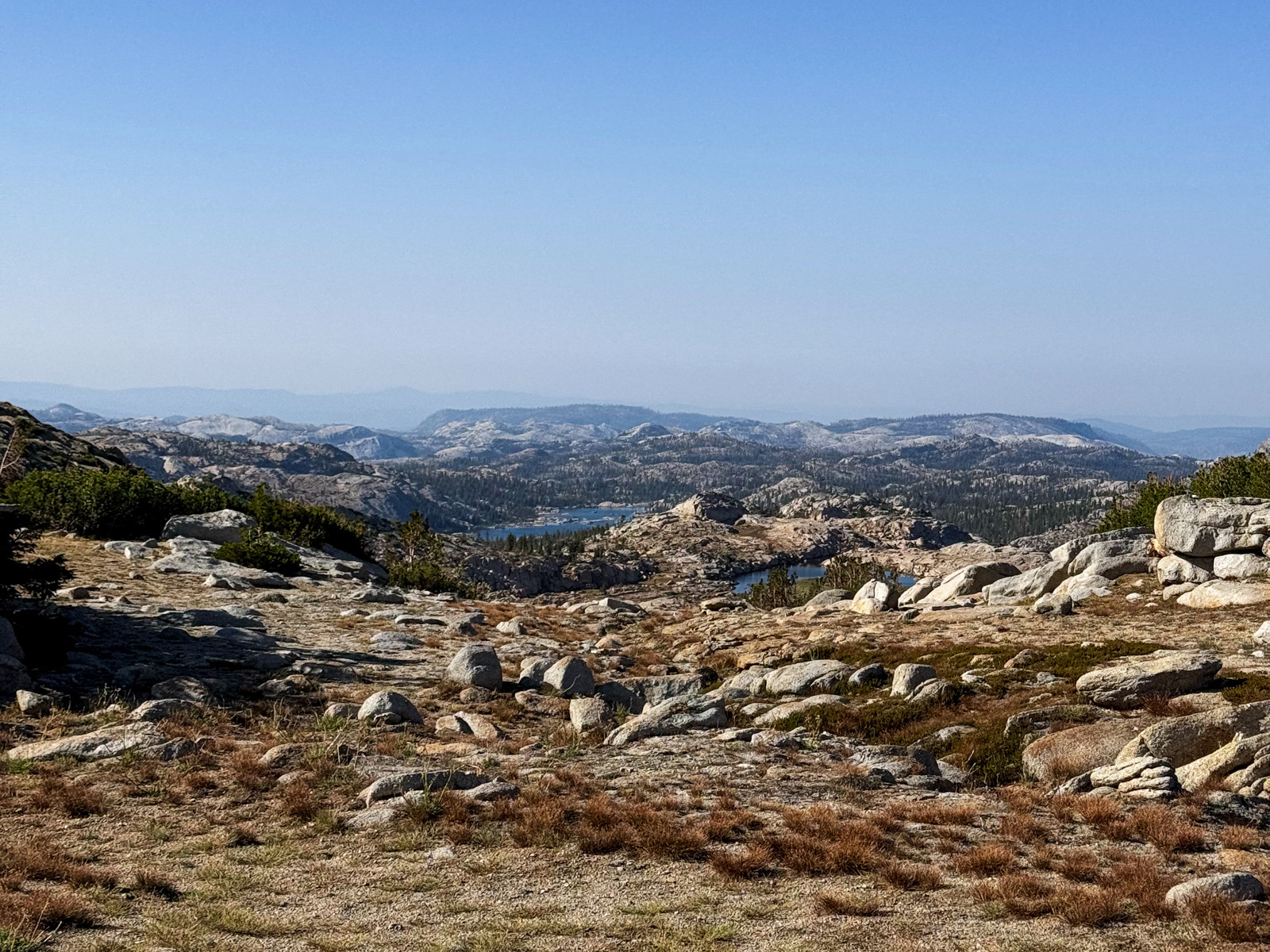
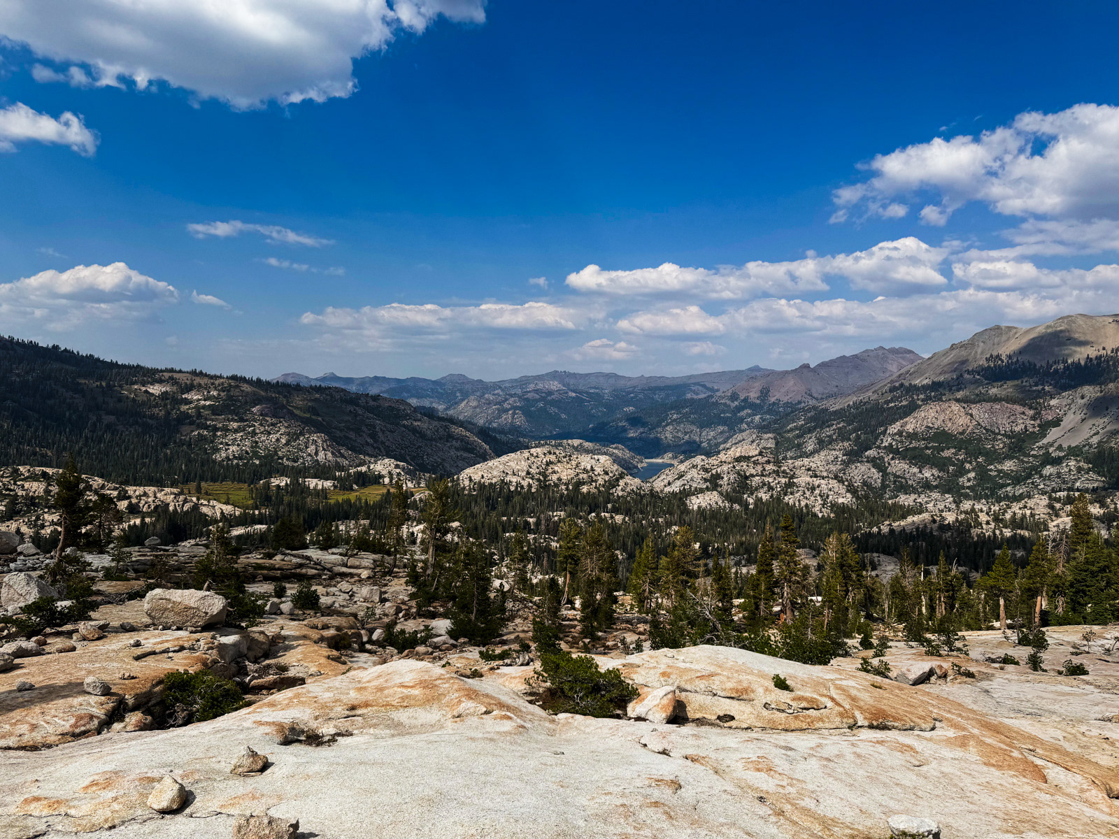
And now south – Long Lake is just left of center.
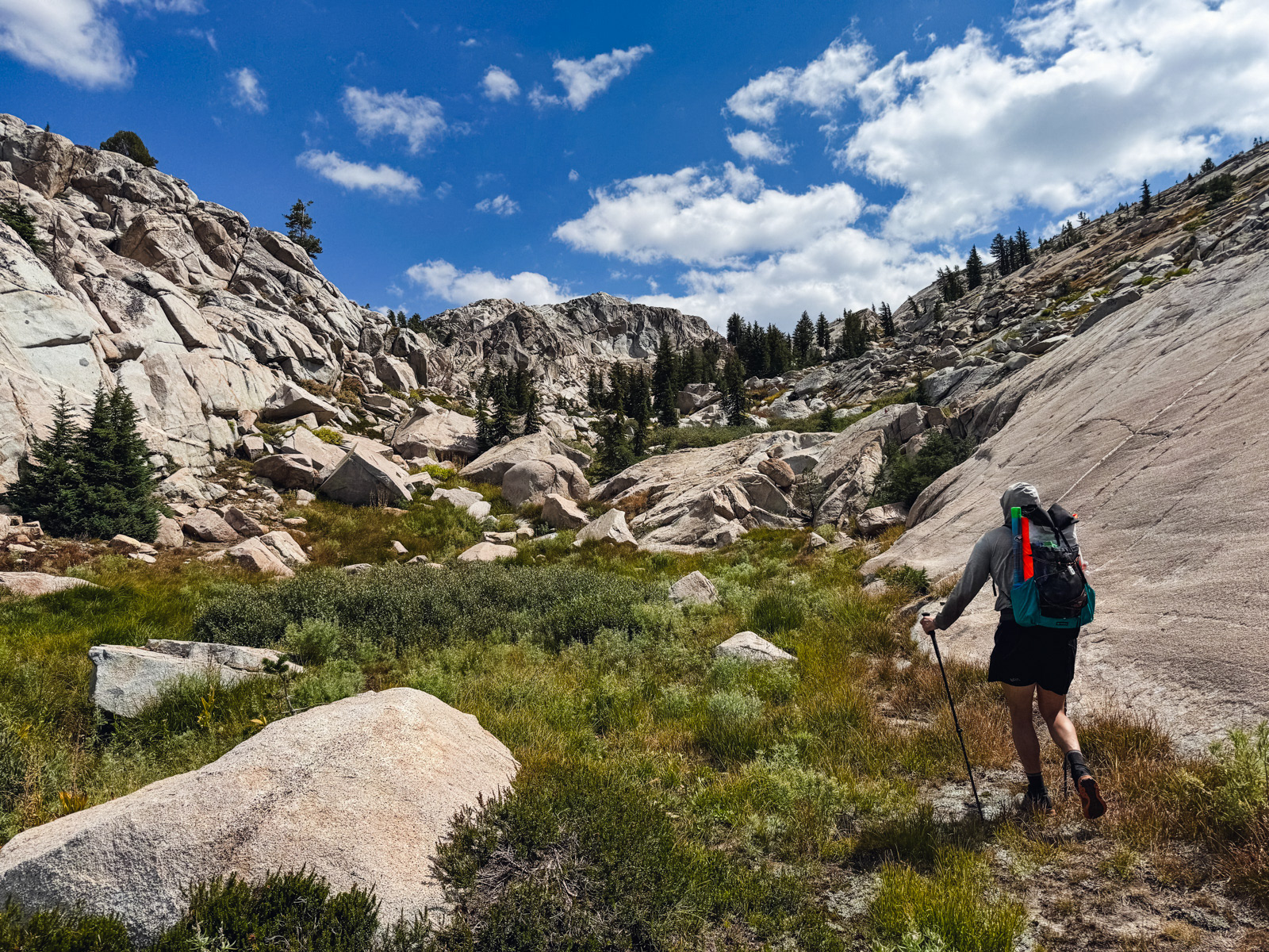
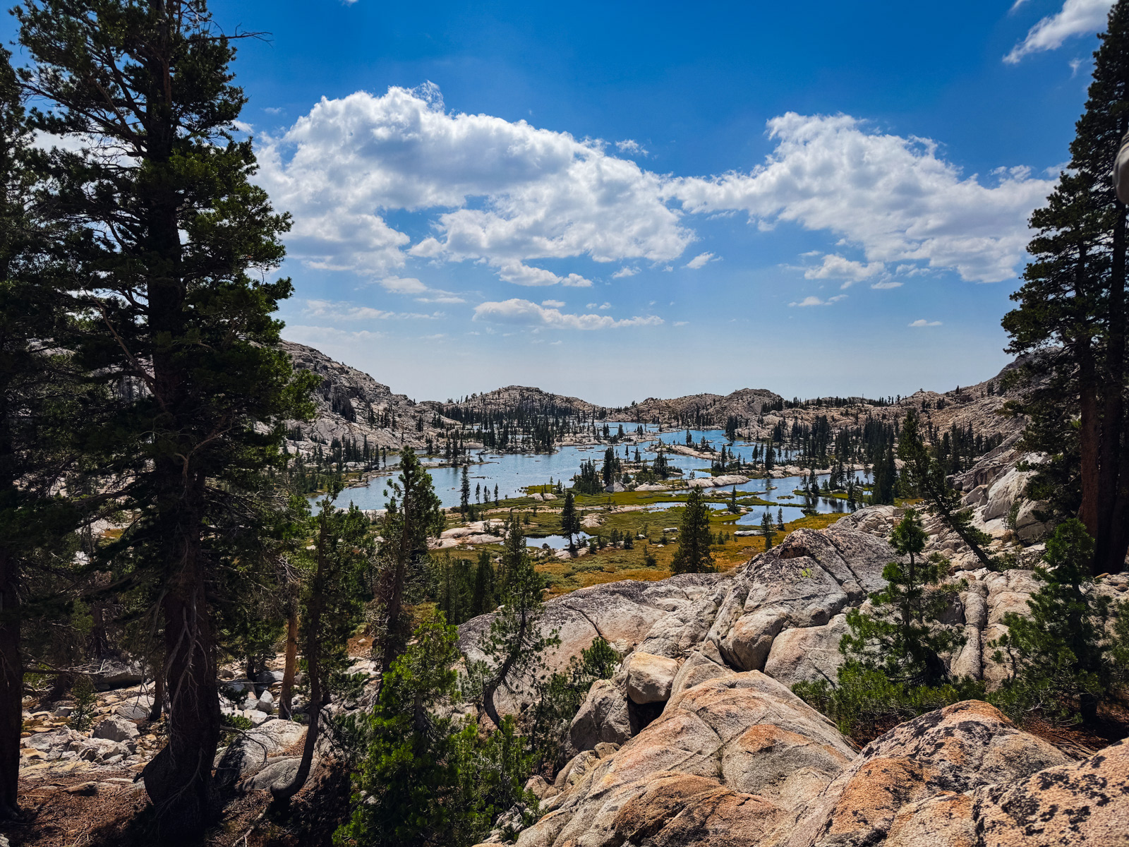
It’s a lovely walk down to Long Lake, but we weren’t headed that way. Instead, we turned east and dropped toward the next drainage over.
By the letter of the law, it may not actually be a separate drainage? But it is certainly a different world.
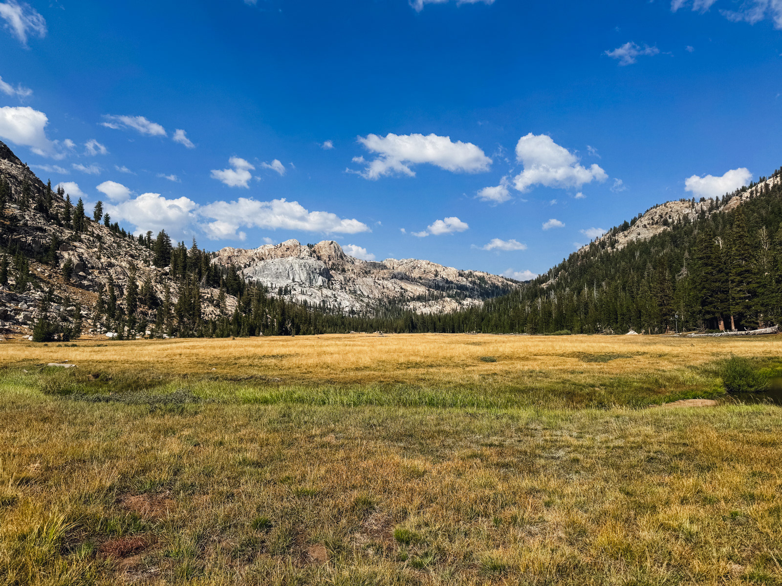
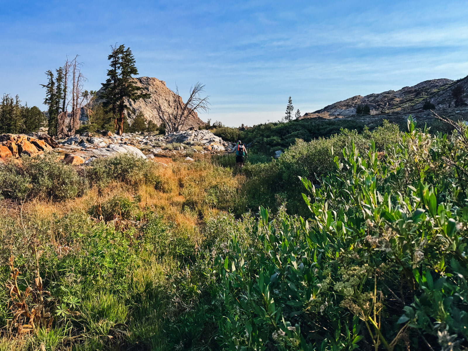
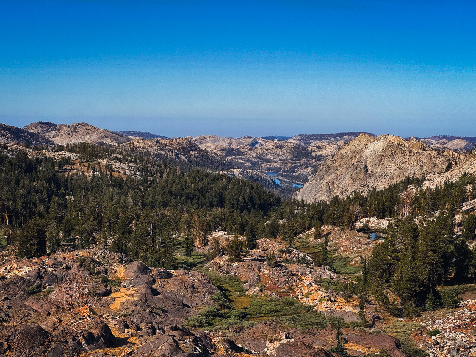
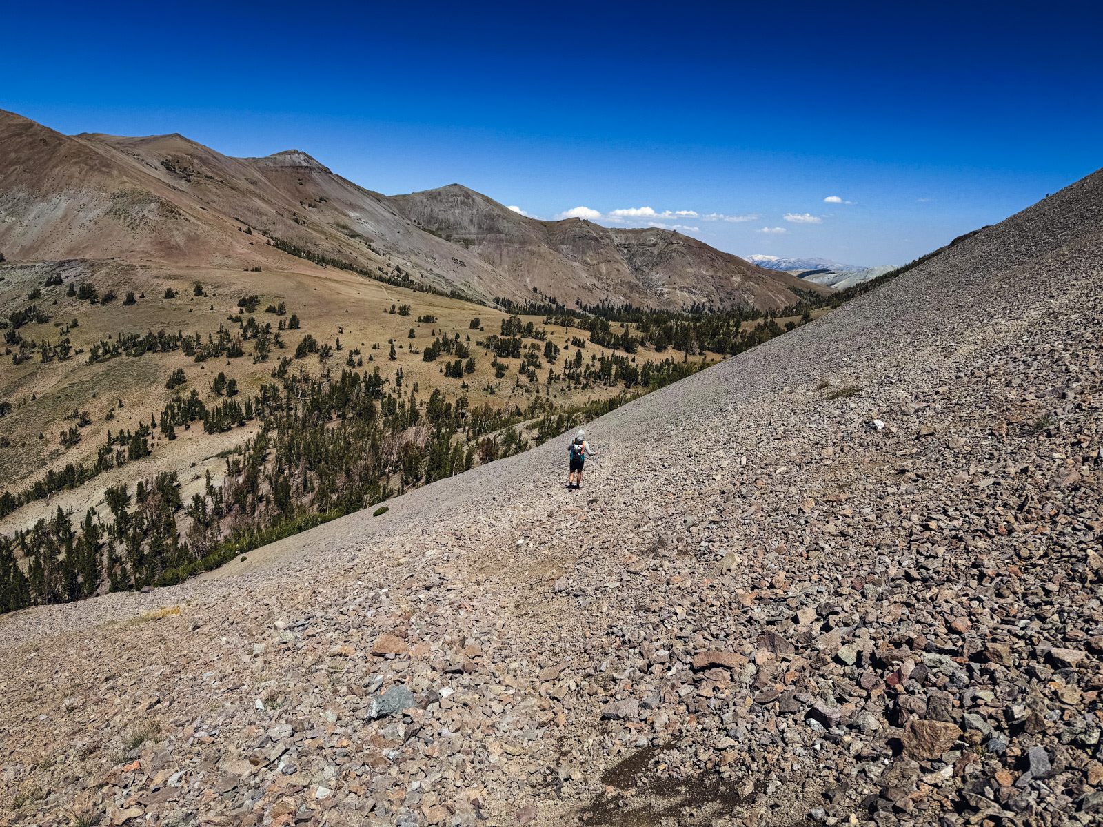
Beautiful, easy walking through wide, flat meadows followed by an easy descent -- this was repeated three or four times. Meadow, hundred foot descent, meadow, etc. Not a use trail or forgotten glove in sight, and so quiet. This was, in retrospect, the highlight of the trip. There aren’t very many nameable features on the slopes south of Granite Dome, but it’s a special place.
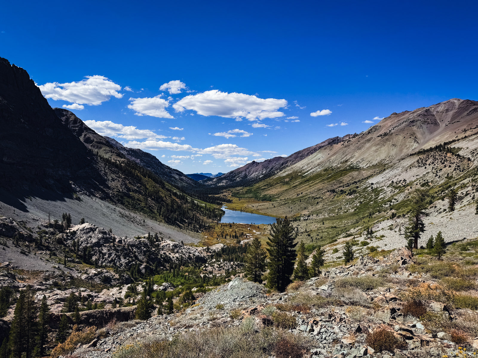
Eventually the grade steepened, the forest grew thicker, and we were spat out at Buck Creek, where we rejoined a trail.
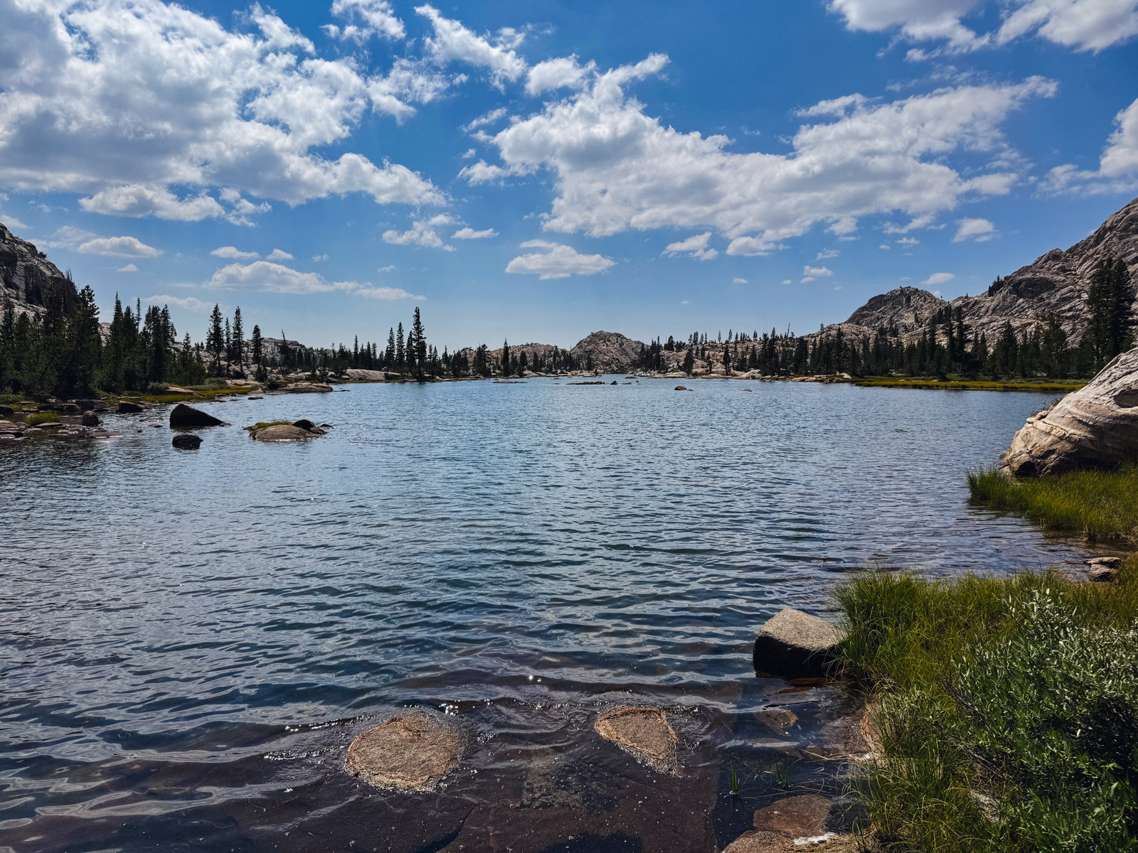
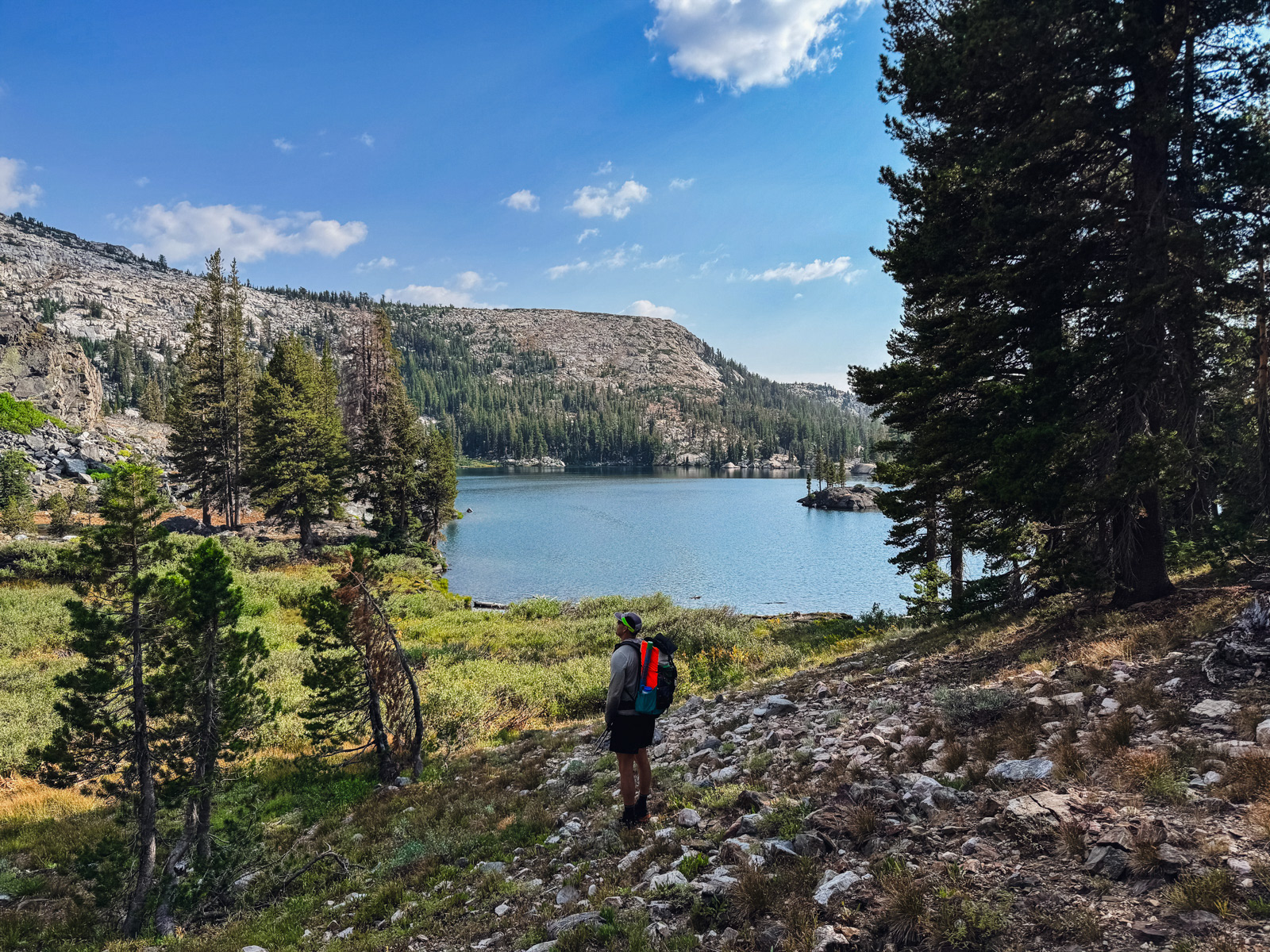
Soon we were at Emigrant Lake.
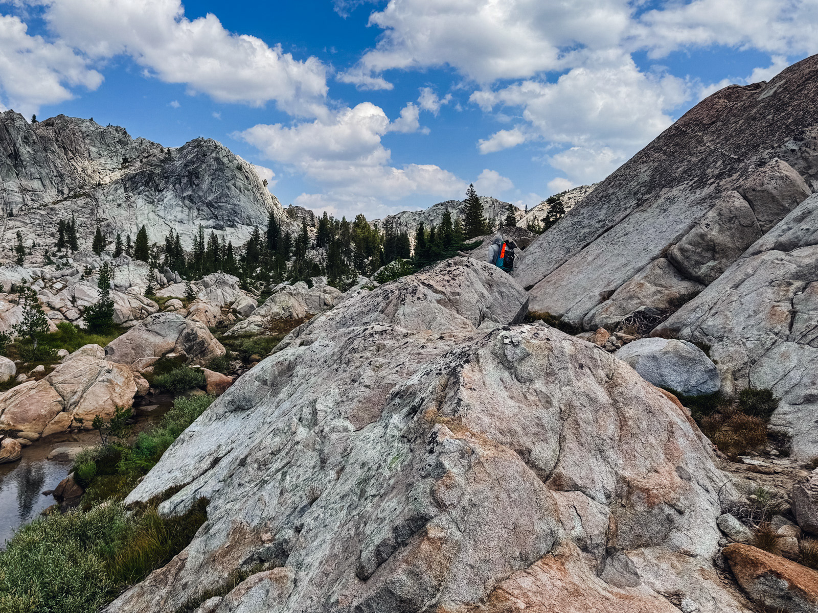
We wandered down the west side on a decent use trail, getting lost in a maze of boulders once or twice. We found an amazing beach with great, easy lake access. There was a "No Camping" sign at the single marginal spot by the lake, and we did not see any other obvious camping spots in the vicinity. This was kind of surprising given the lake’s popularity.
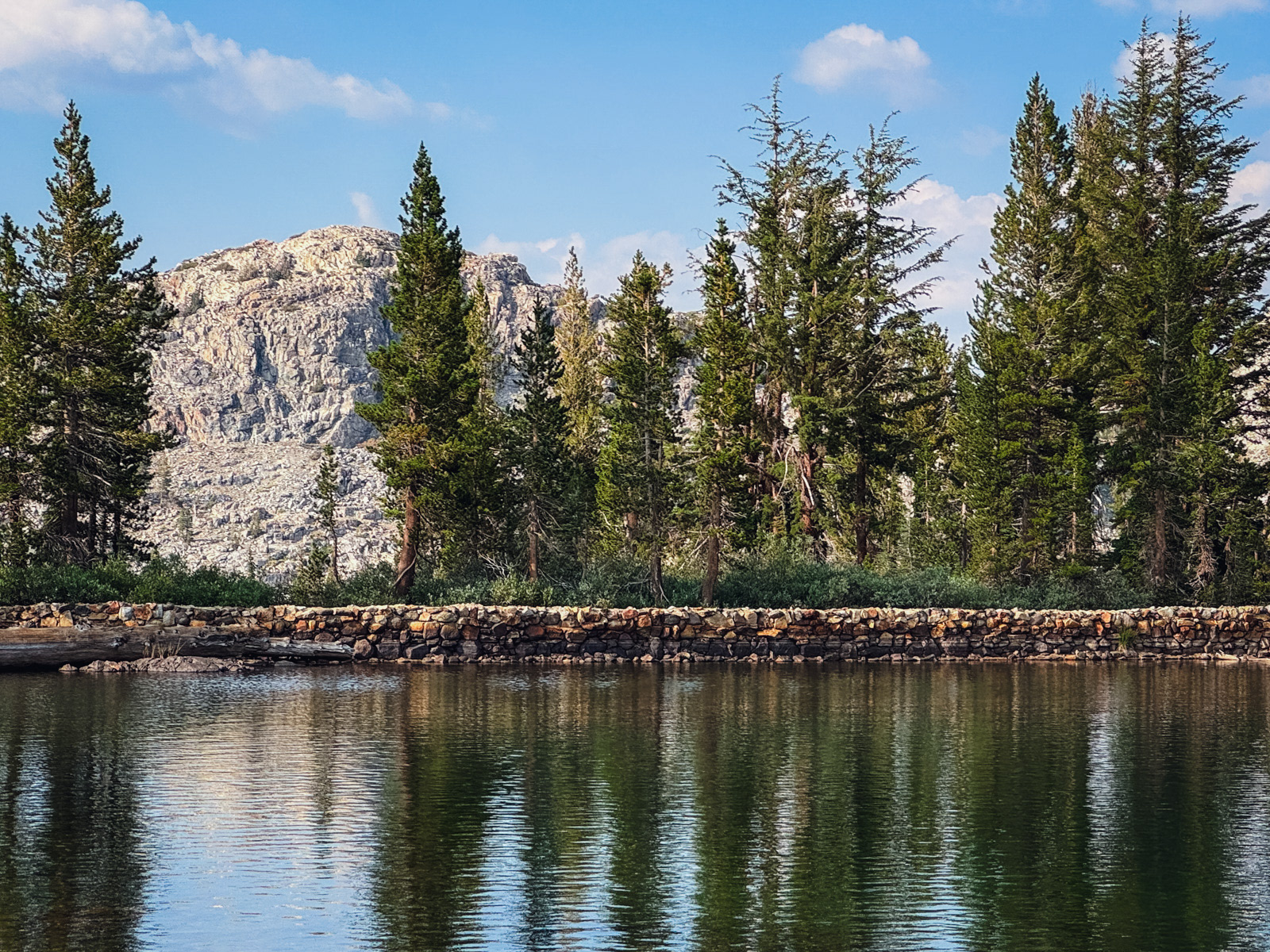
We kept going and soon were at the small outlet dam.
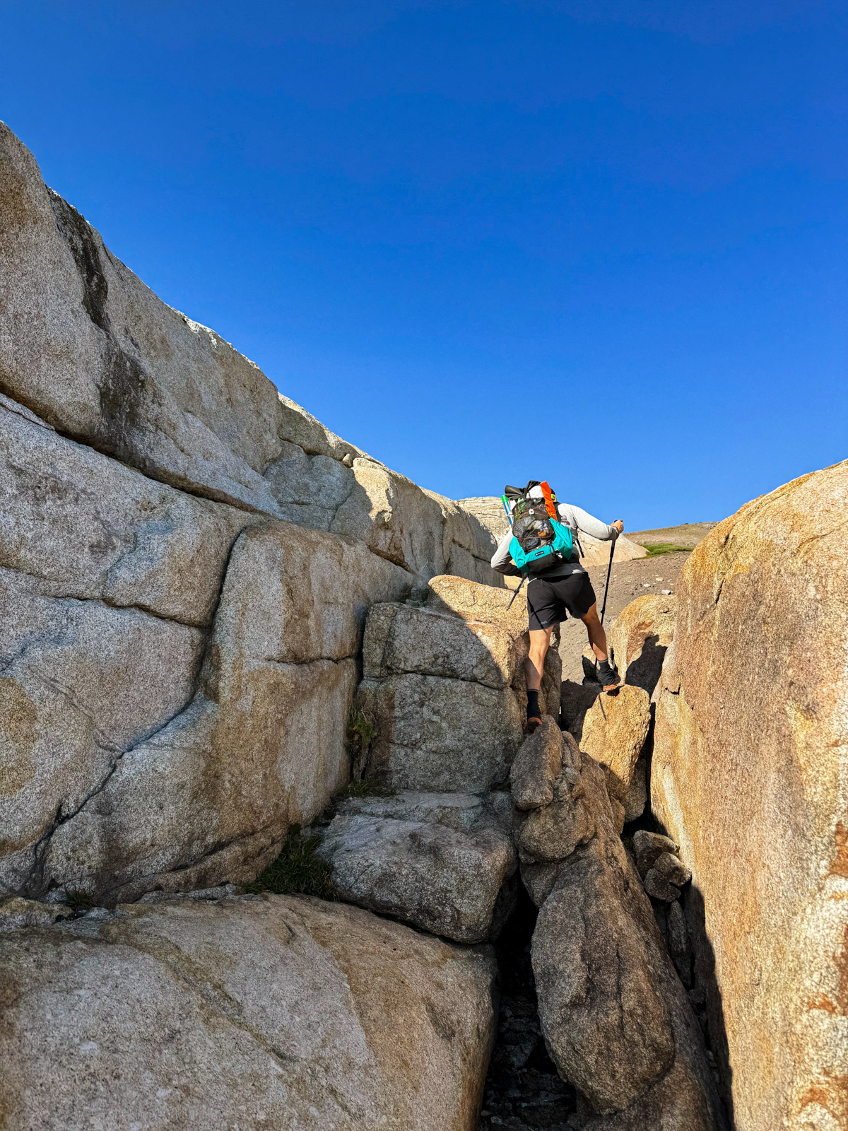
We crossed under the dam and began climbing up to Fraser Lakes. The obvious gully has a good use trail snaking up its left side.
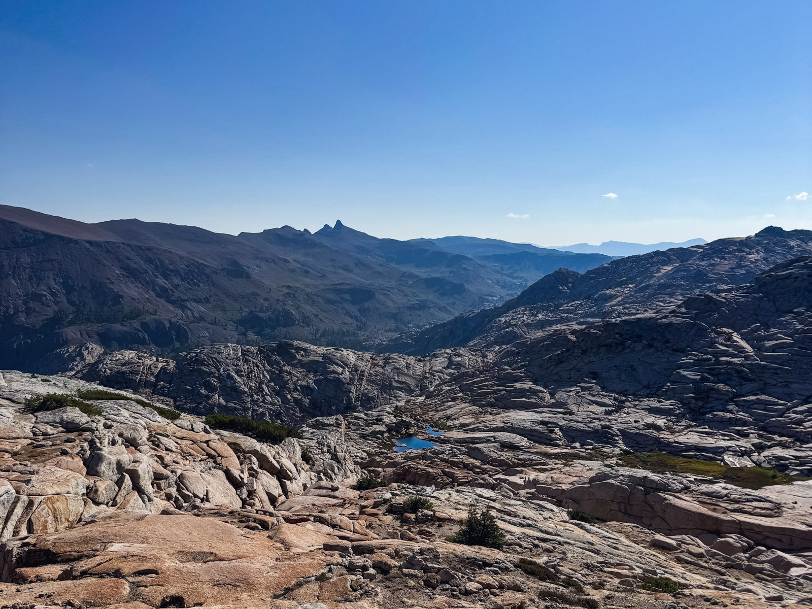
It was hot and I was feeling beat, but the view back down was beautiful.
We topped out at an incredible view of Emigrant Lake. Certainly one of the most picturesque spots in the area.
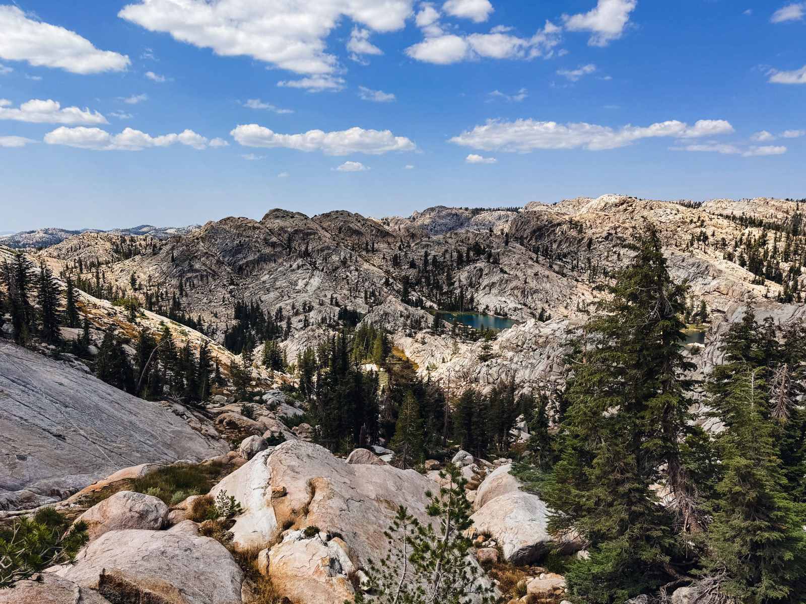
We dropped down to the Fraser Lakes, stopping for a while in some shade at the larger, eastern lake. We took off a half hour later, refreshed for the second half of our day. I found these lakes nice but not particularly memorable.
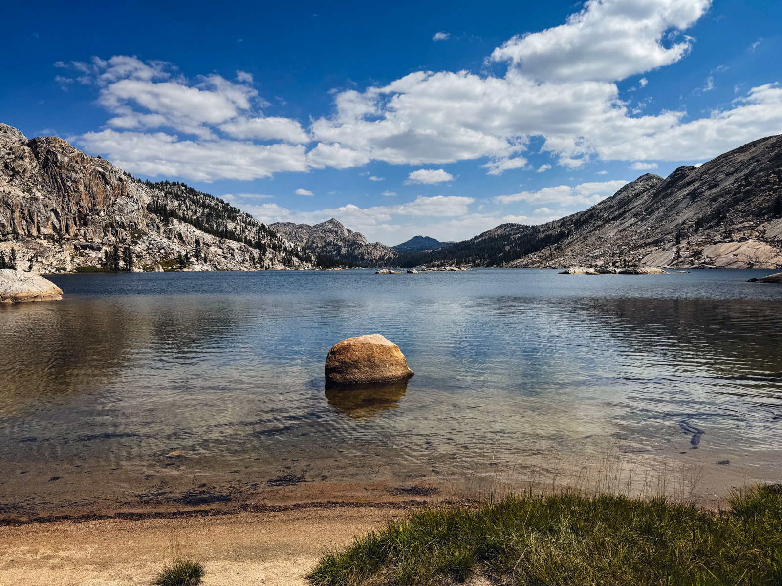
Shallow Lake looks amazing from afar.
Up close, it is indeed a bit shallow and reedy.
The area to the east of the lake looks flat as a pancake on the topo, but was actually a somewhat chaotic series of boulders, granite fins, surprise tarns and slanted slabs. It took a while, but was quite pretty.
Eventually we made it to W Lake. This lake does not deserve to be named.
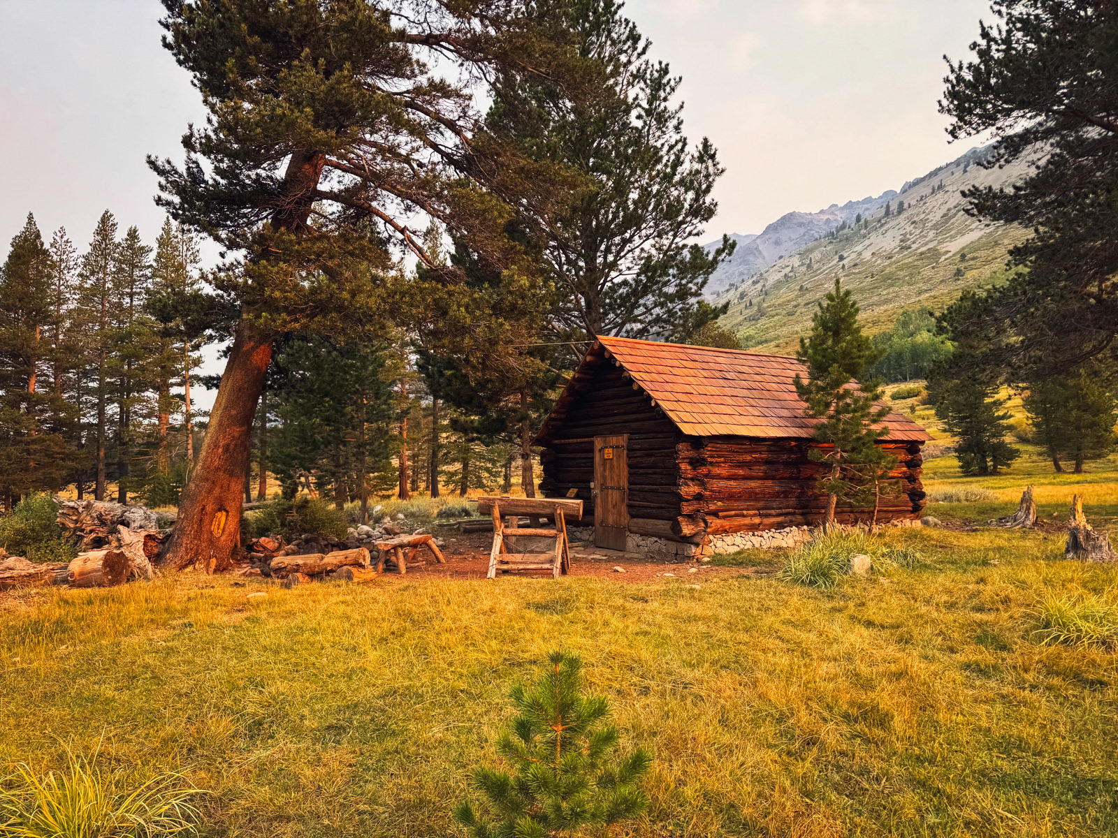
We rejoined a trail and bombed down the long descent to Maxwell Lake, where we saw a single tent), and then even more down to Horse Meadow. We were now in what I’d assume is the least visited corner of Emigrant, though it appears that this wasn’t always so: at the edge of the meadow we found a weather station and two old cabins, one destroyed and the other in better shape.
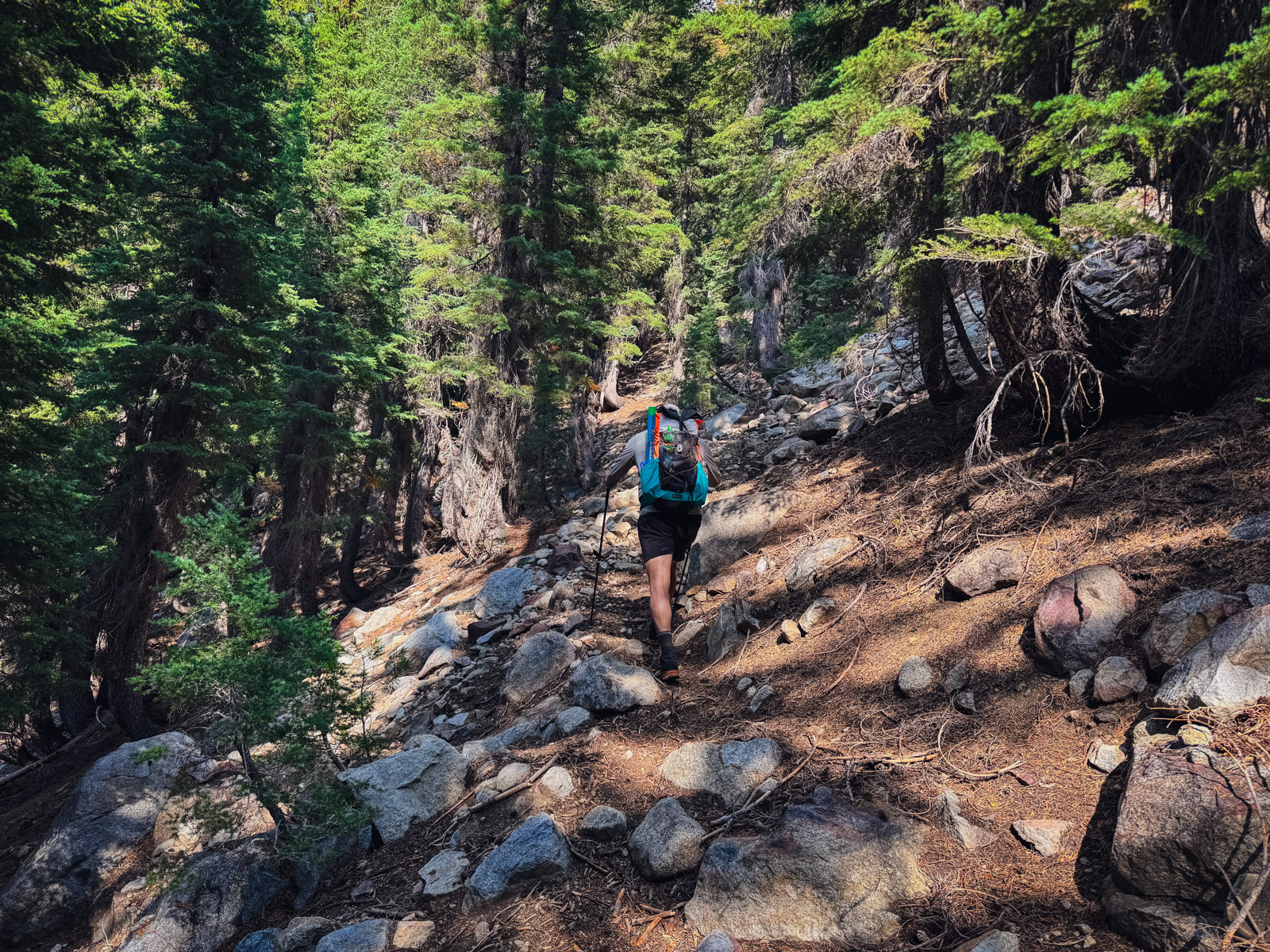
From here we ascended a vague use trail up a very steep forested hillside – about 350 feet in ¼ of a mile.
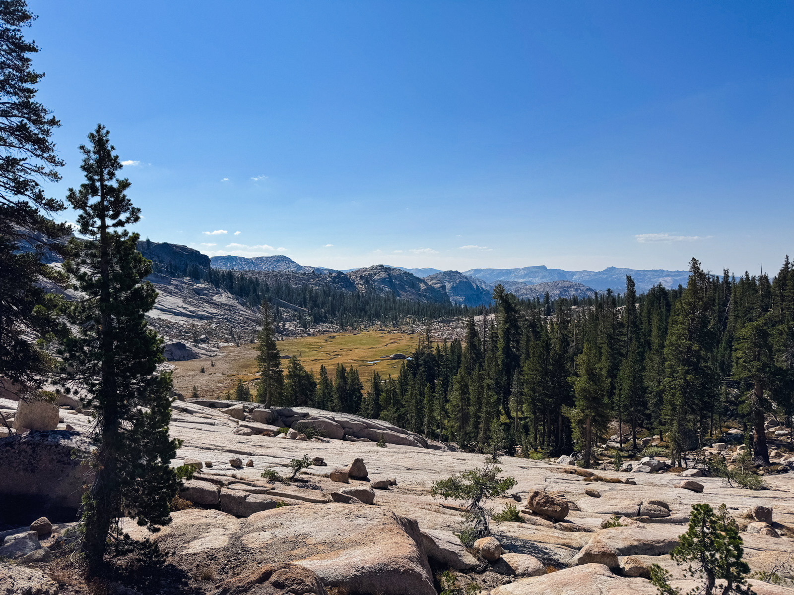
As the grade flattened out, we were greeted by a lovely view of the upper reaches of East Fork Cherry Creek.
The use trail crosses a creek and then ascends another brutal 350 feet in ¼ of a mile to Black Bear Lake. These old use trails were a switchback-free, East Coast-style grind.
We considered stopping, but pushed on another half mile or so to Bigelow Lake. It looks vaguely like Colorado? Or at least not very Sierra-like. The other side of this ridge is Yosemite.
Early white explorers absolutely loved building dams in Emigrant – Bigelow has three!
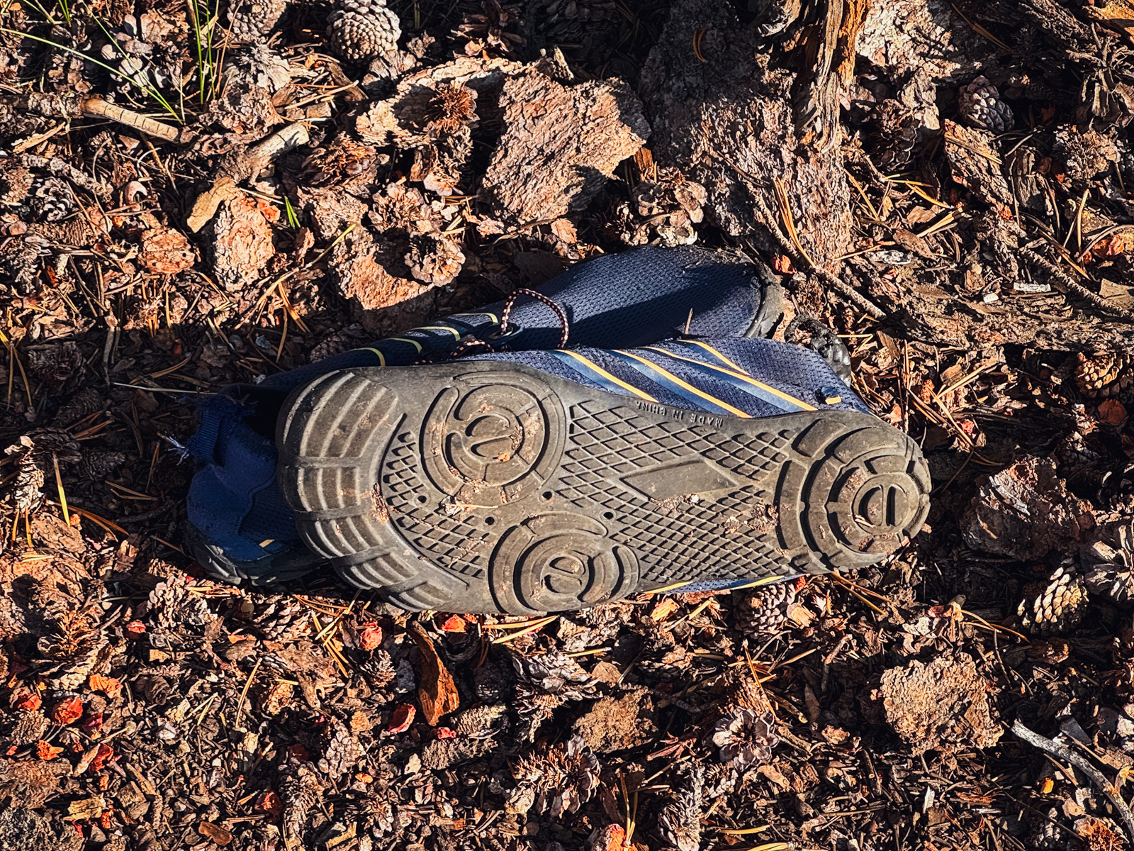
The lake feels lightly used, and we didn’t notice any developed campsites. That said, we did come across a barefoot shoe, some underwear, and a tampon wrapper (?!).
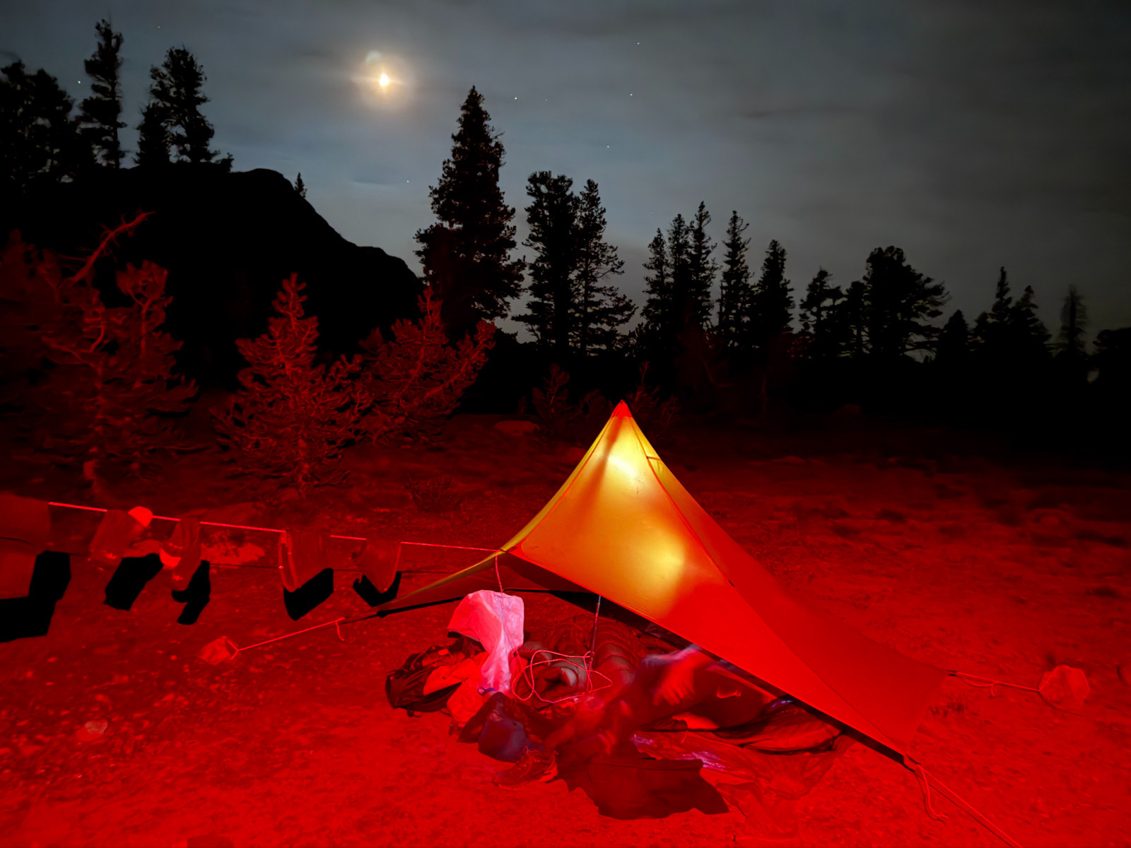
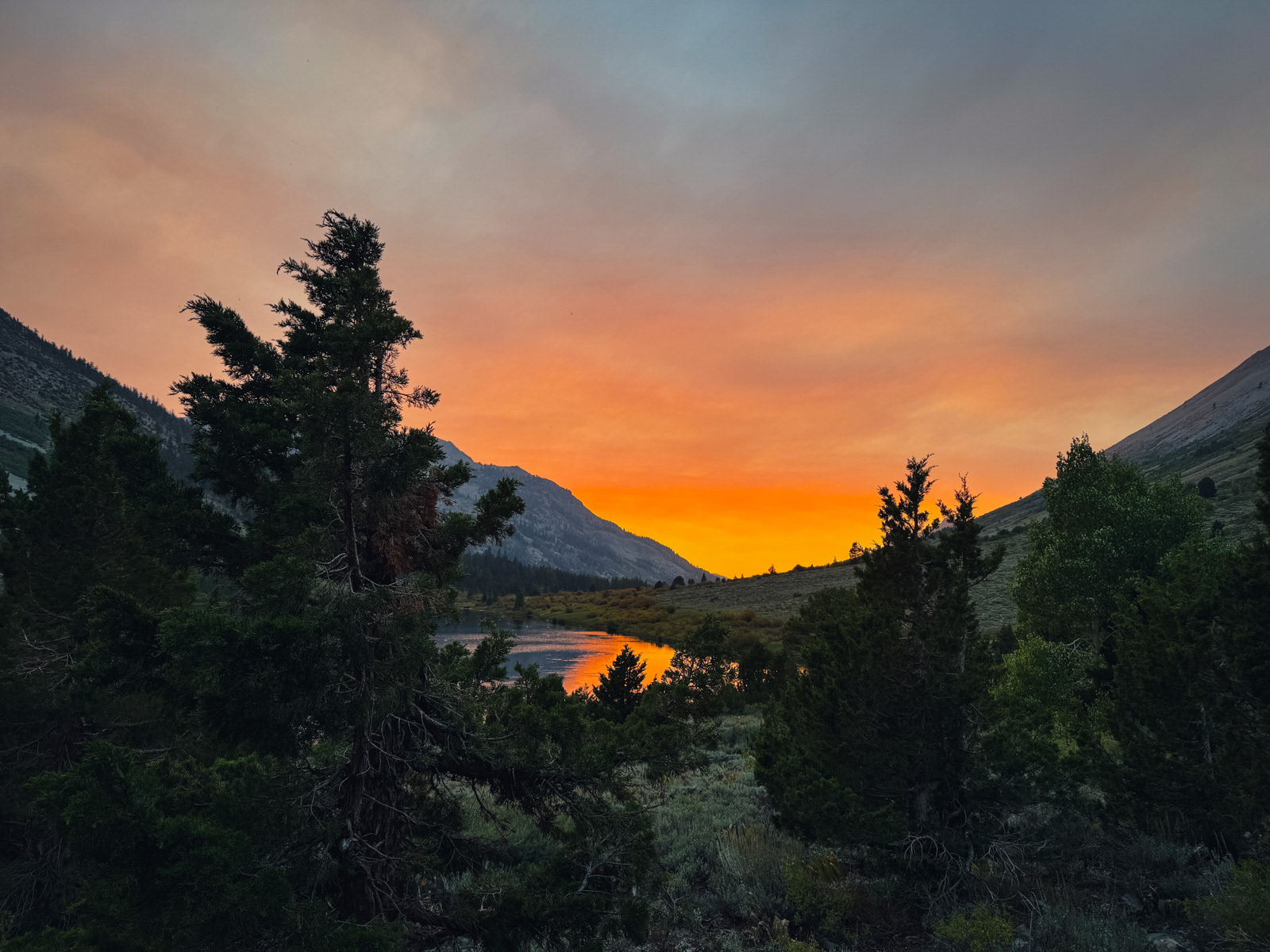
We set up, ate dinner, and noticed that the light had changed.
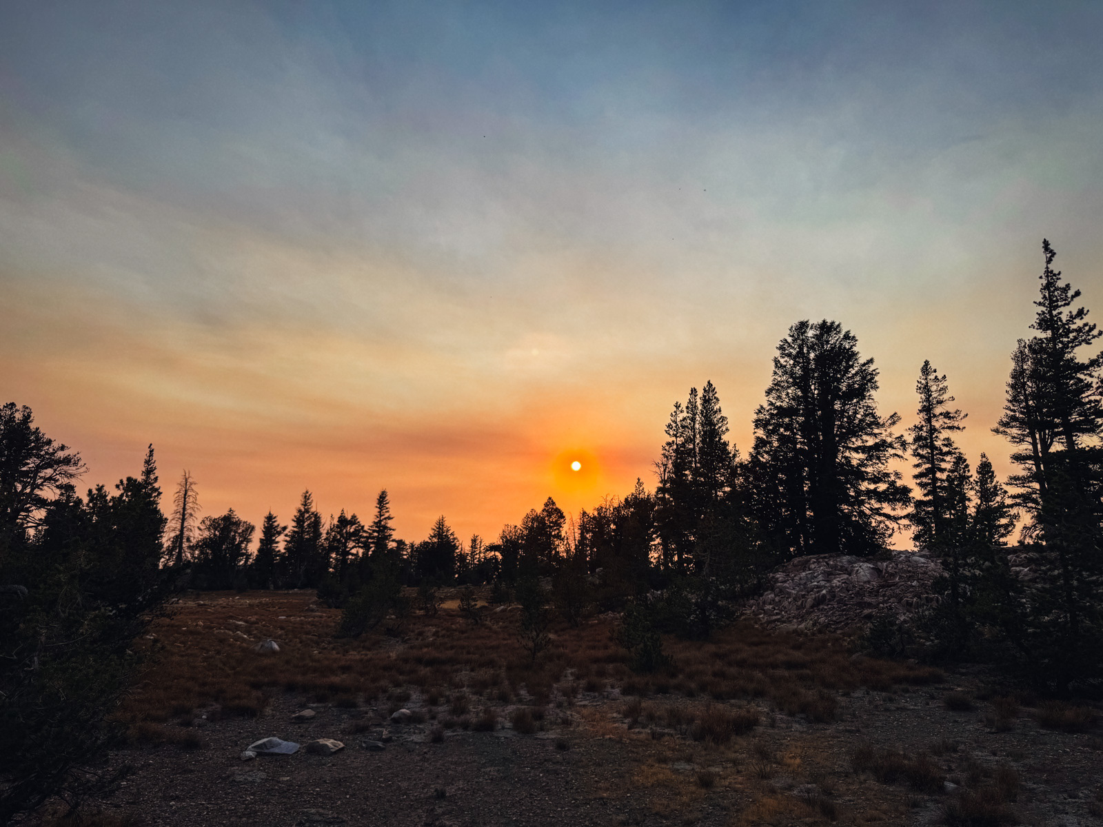
Smoke had made an entrance, albeit far up in the atmosphere. This was almost certainly from the Garnet Fire, which had come to visit us from a hundred miles away.
This is looking toward our route tomorrow – we were headed for the dark patch right of center.
I was toasted. 16 miles – half of it cross country – and 4000 feet of elevation gain.
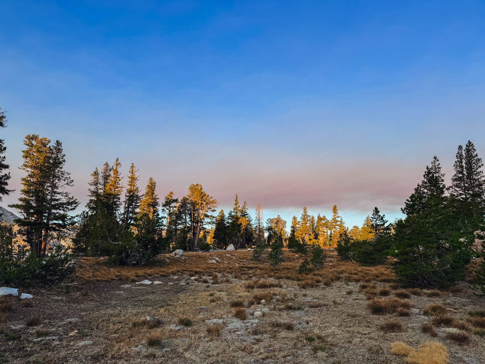
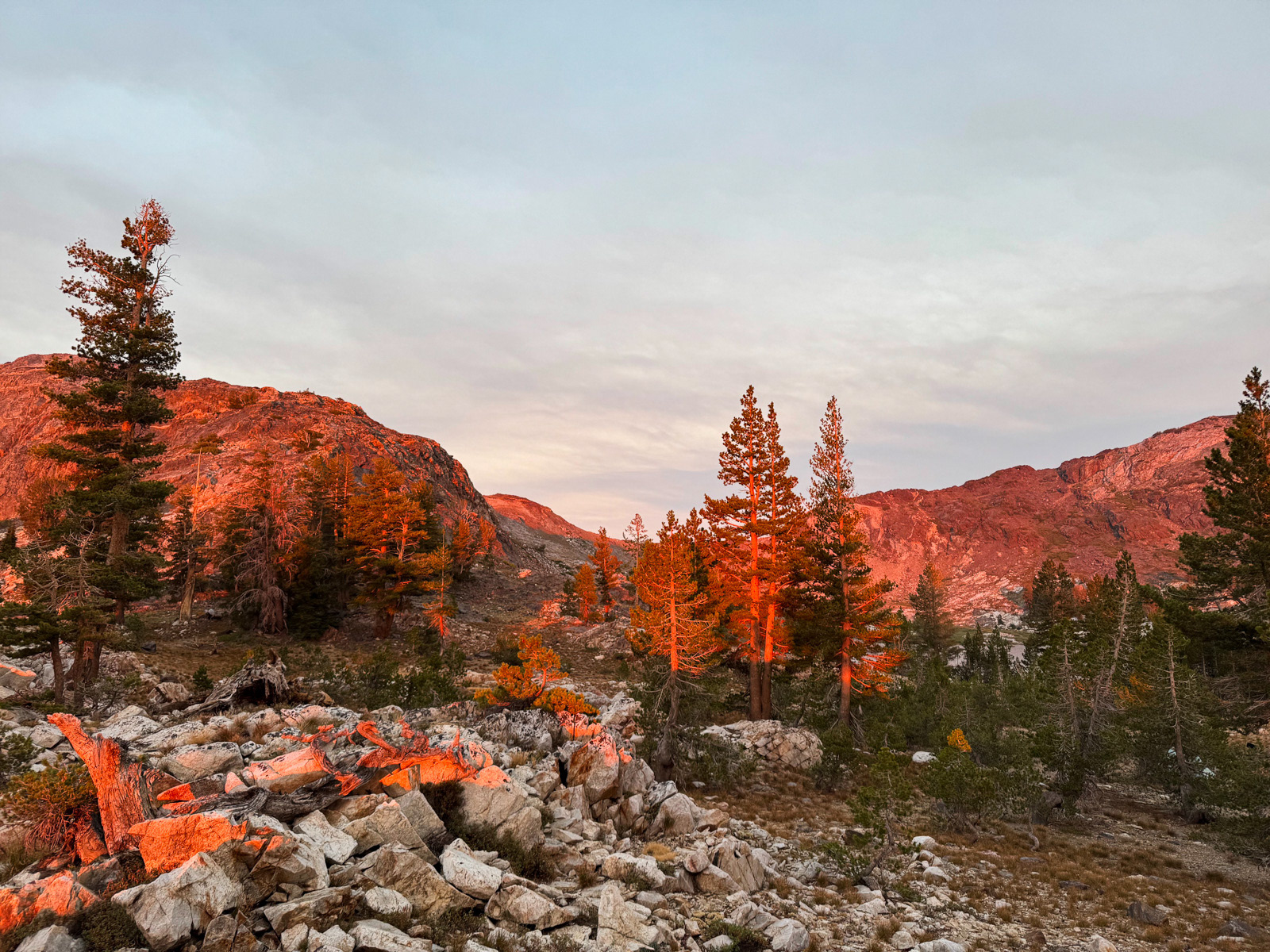
We slept well. The sky still looked weird in the morning.
Odd light.
The trail from Bigelow towards Snow Lake is marginal. We ended up on various use trails or following cairns through broken rock and brush. It seems that this section of trail is going to be lost to time.
Eventually we neared the little pass, metamorphic and foreboding.
We had great views back towards where we’d come from. That’s Maxwell Lake right of center.
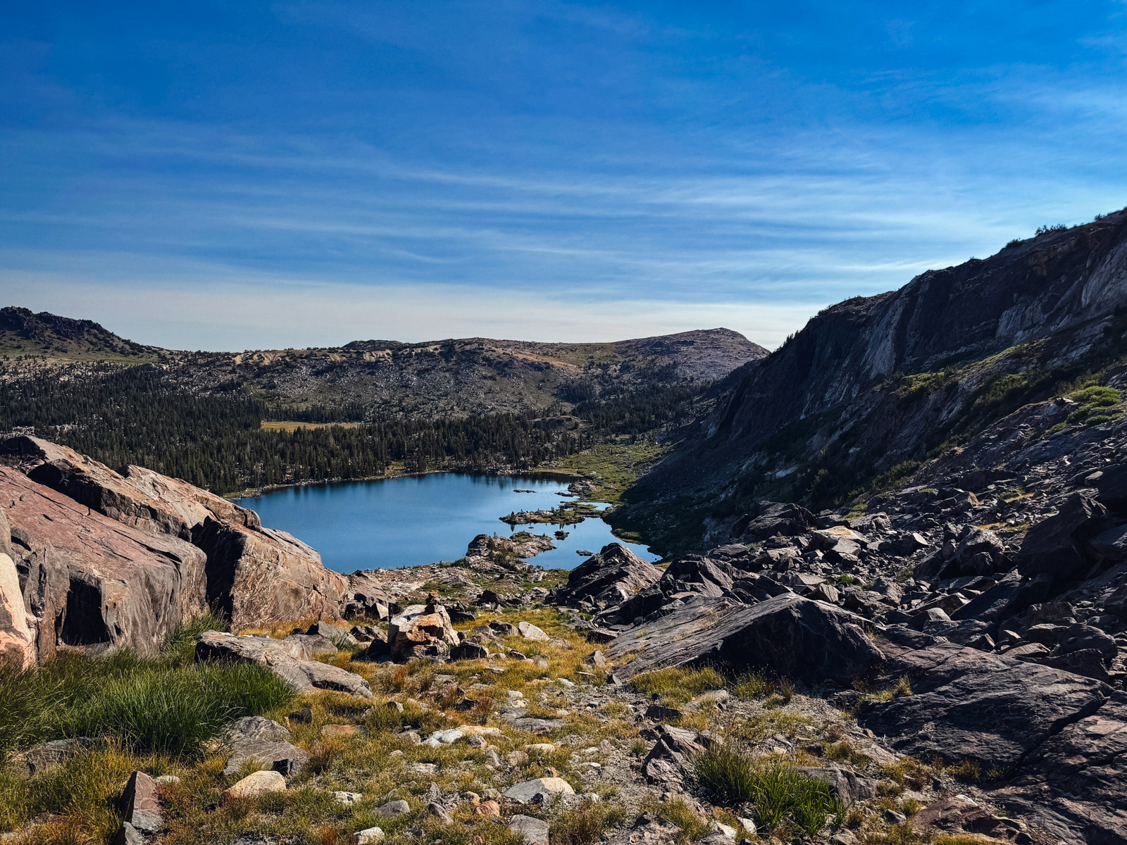
Snow Lake looked beautiful from the pass. We descended grassy and rocky chutes.
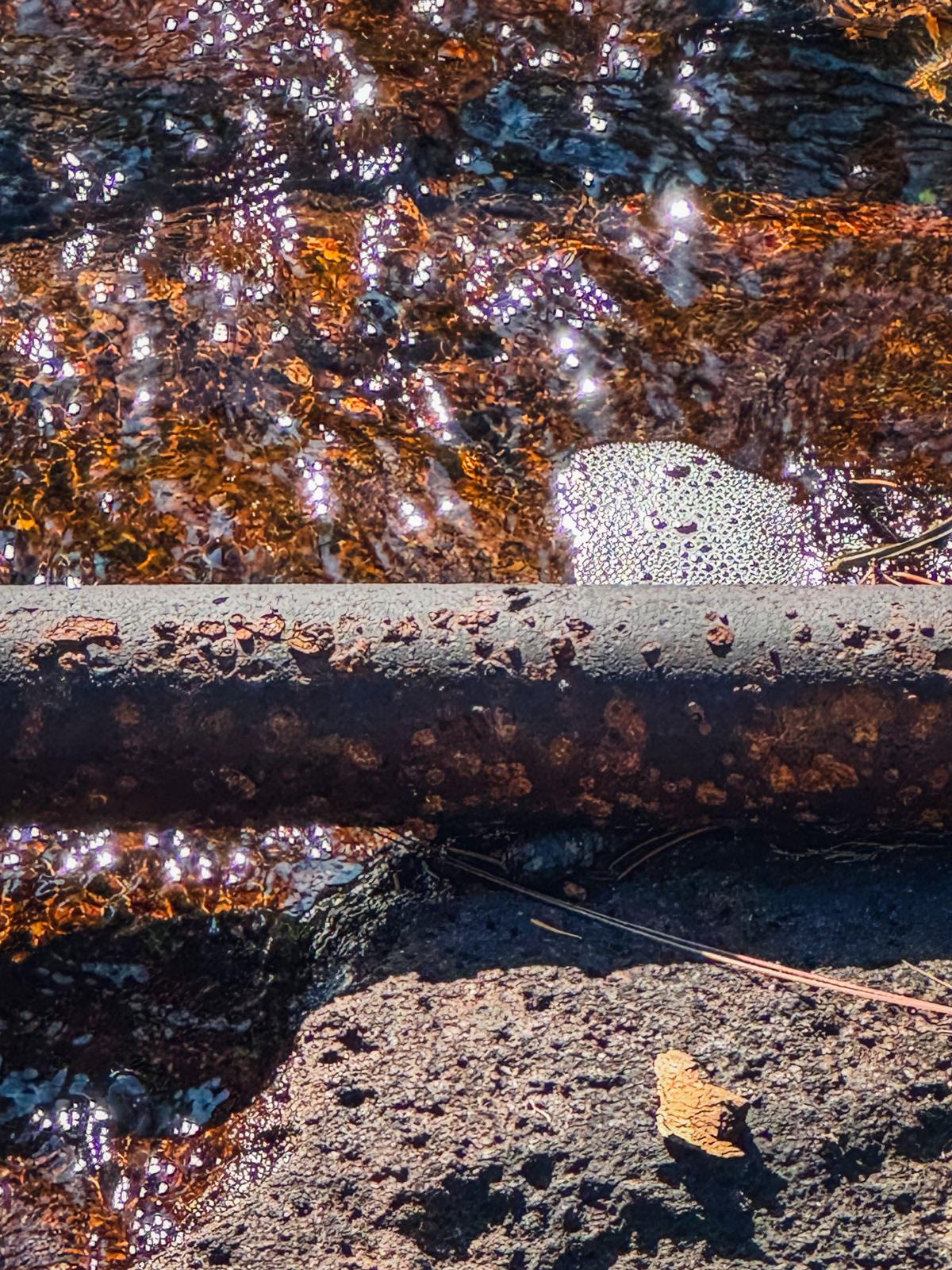
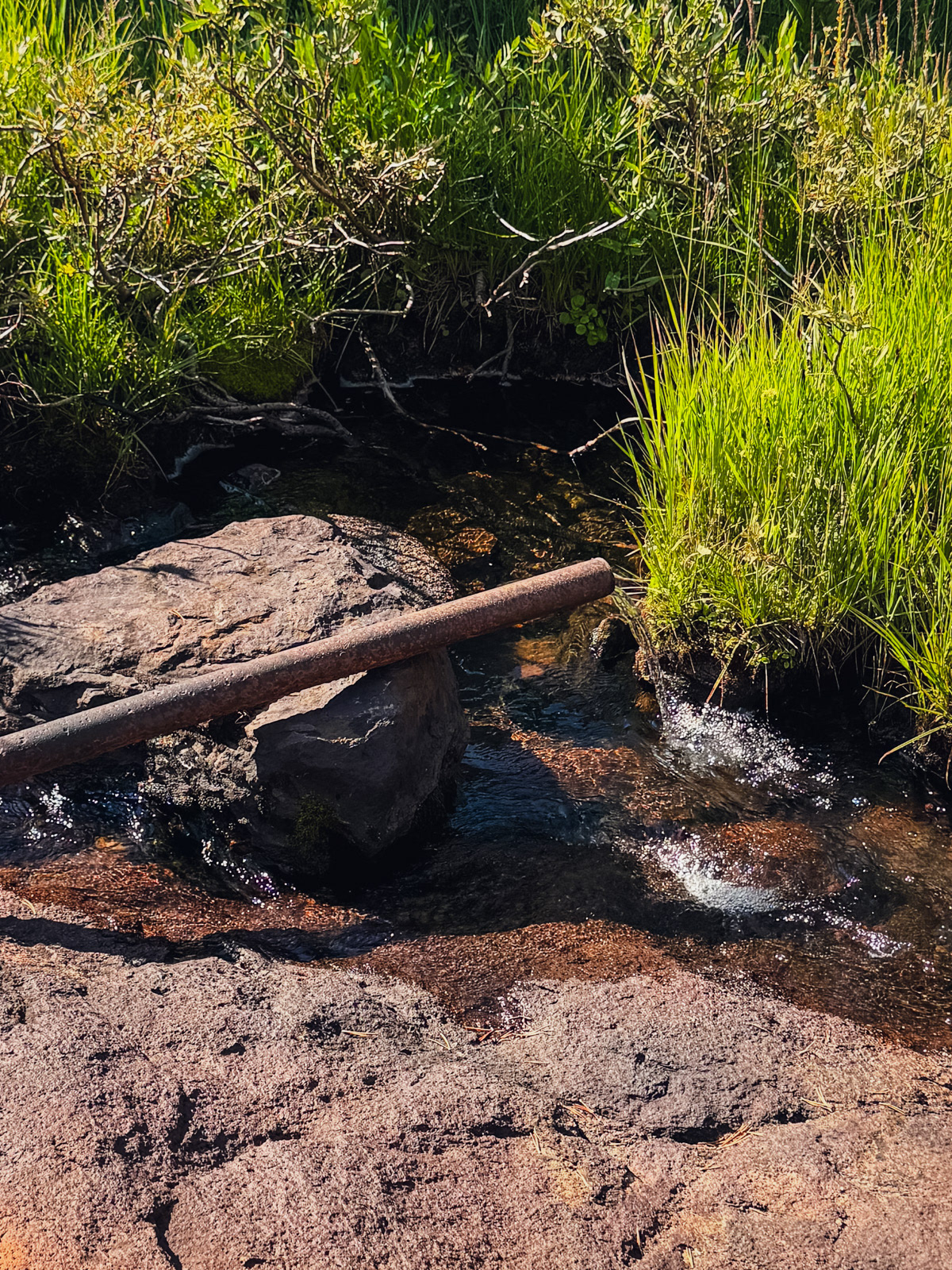
Up close, the lake seemed a bit tired and low. We got water near (but not from!) an ancient pipe.
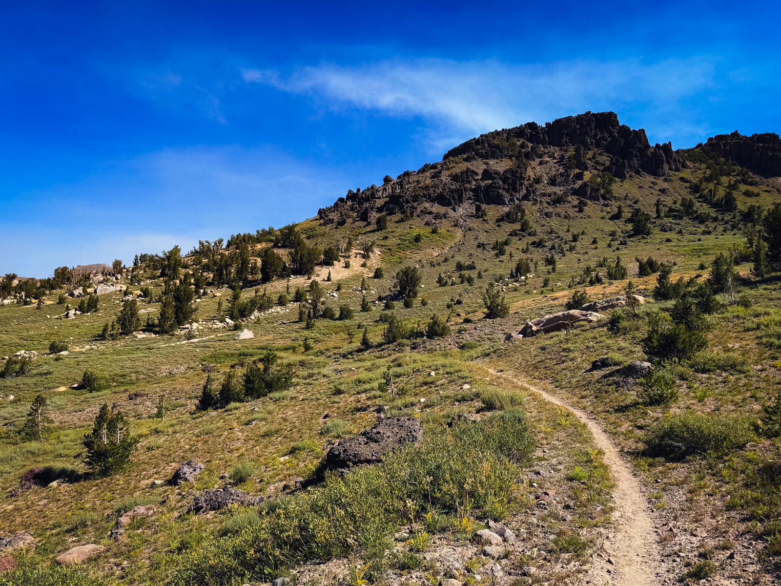
At Snow Lake, real trail returned with a vengeance, often wide and dusty enough to feel closer to a fire trail. The terrain was new – grassy, treeless, and open, mimicking the high desert. It looks like a slice of the Bridgeport area was plopped down between Sierra granite. Given that Bridgeport is about 20 miles east, there may be some geologic rhyme to the eye test.
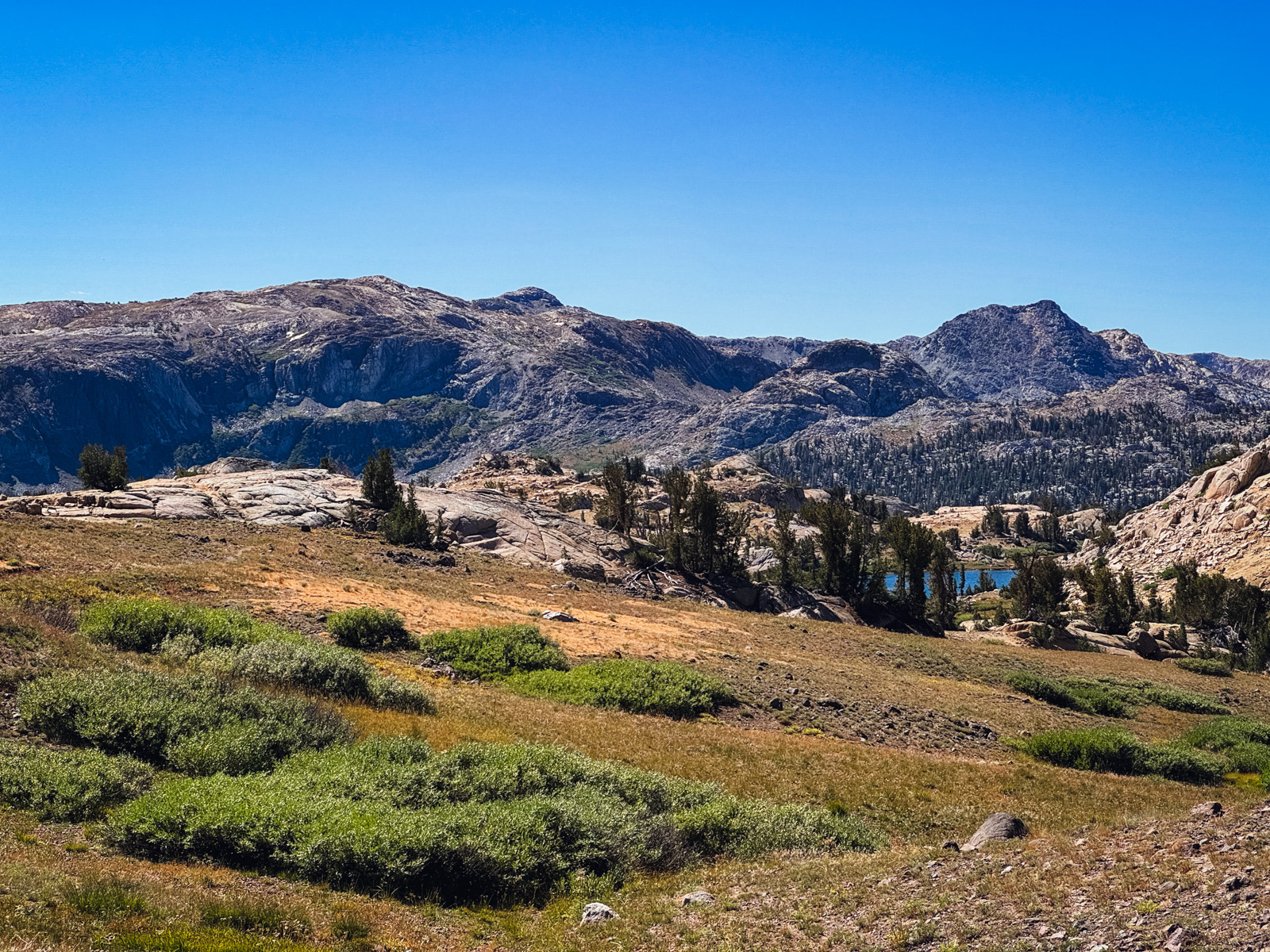
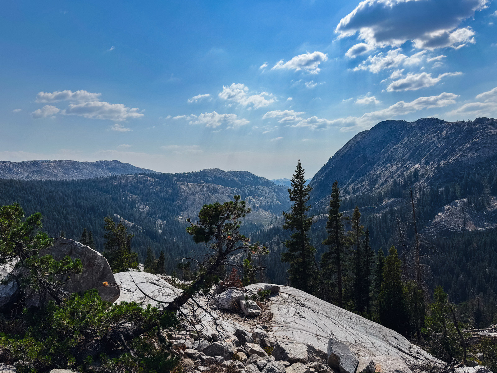
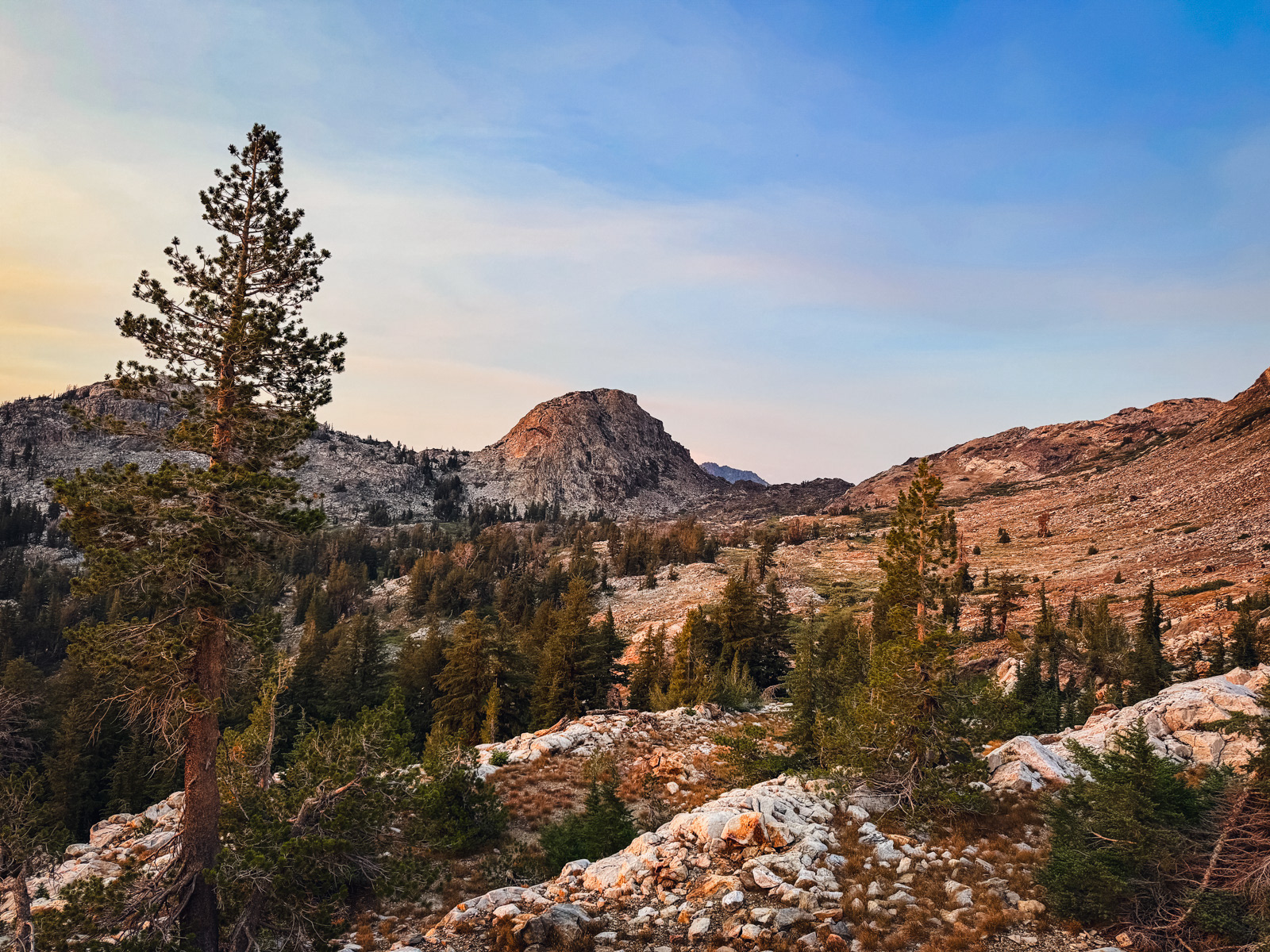
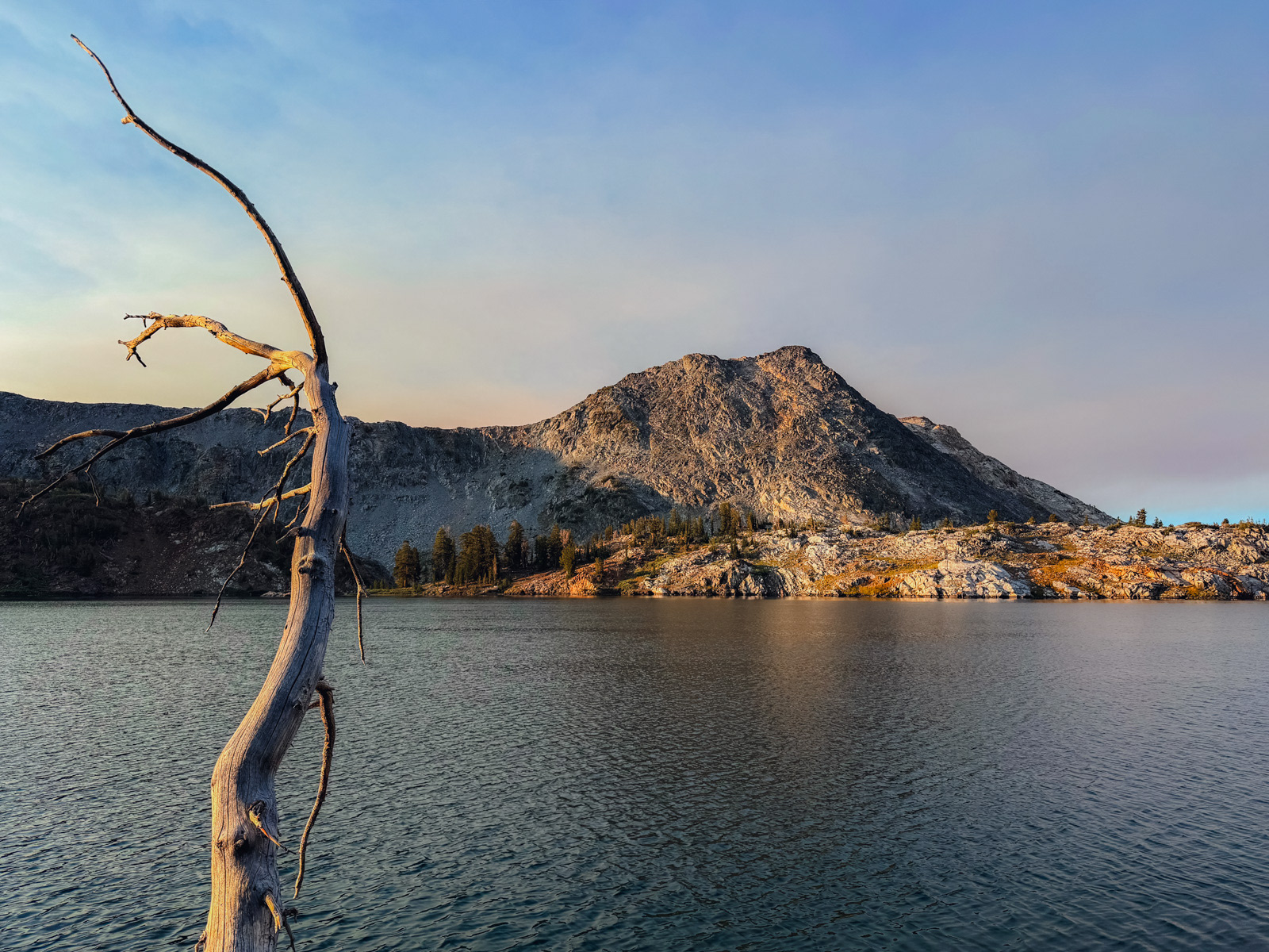
Thankfully, the air had started to clear, and there were great views off toward the more dramatic, granitic Emigrant.
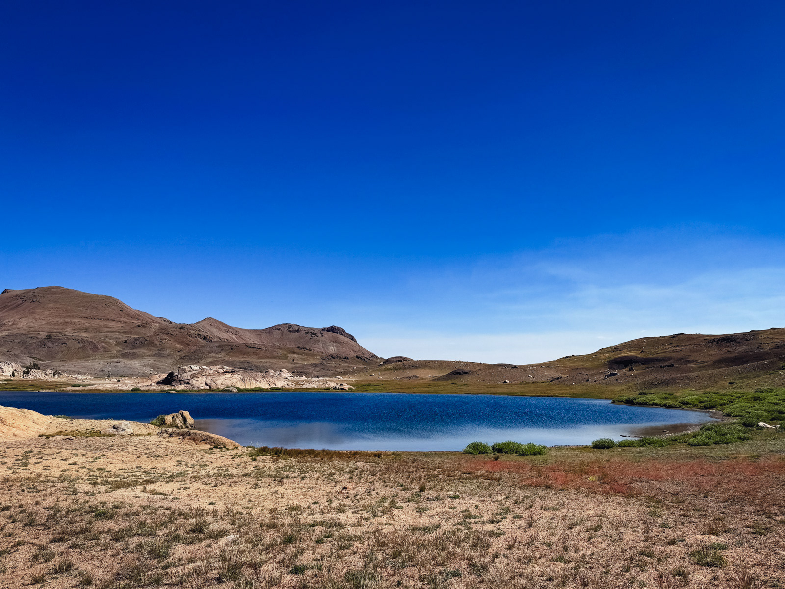
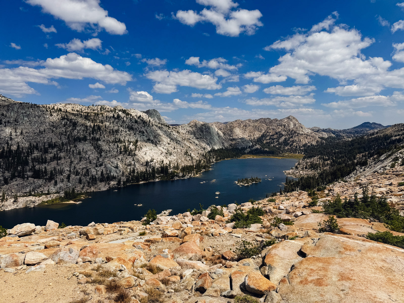
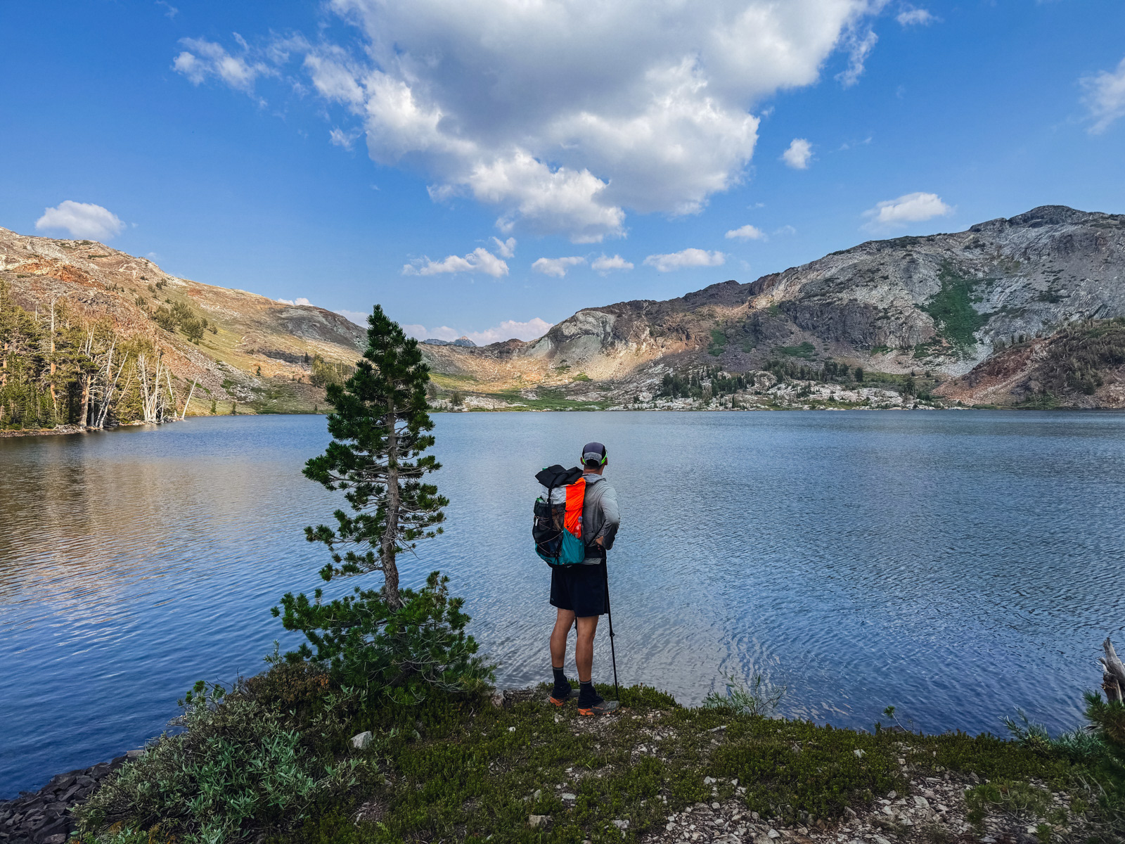
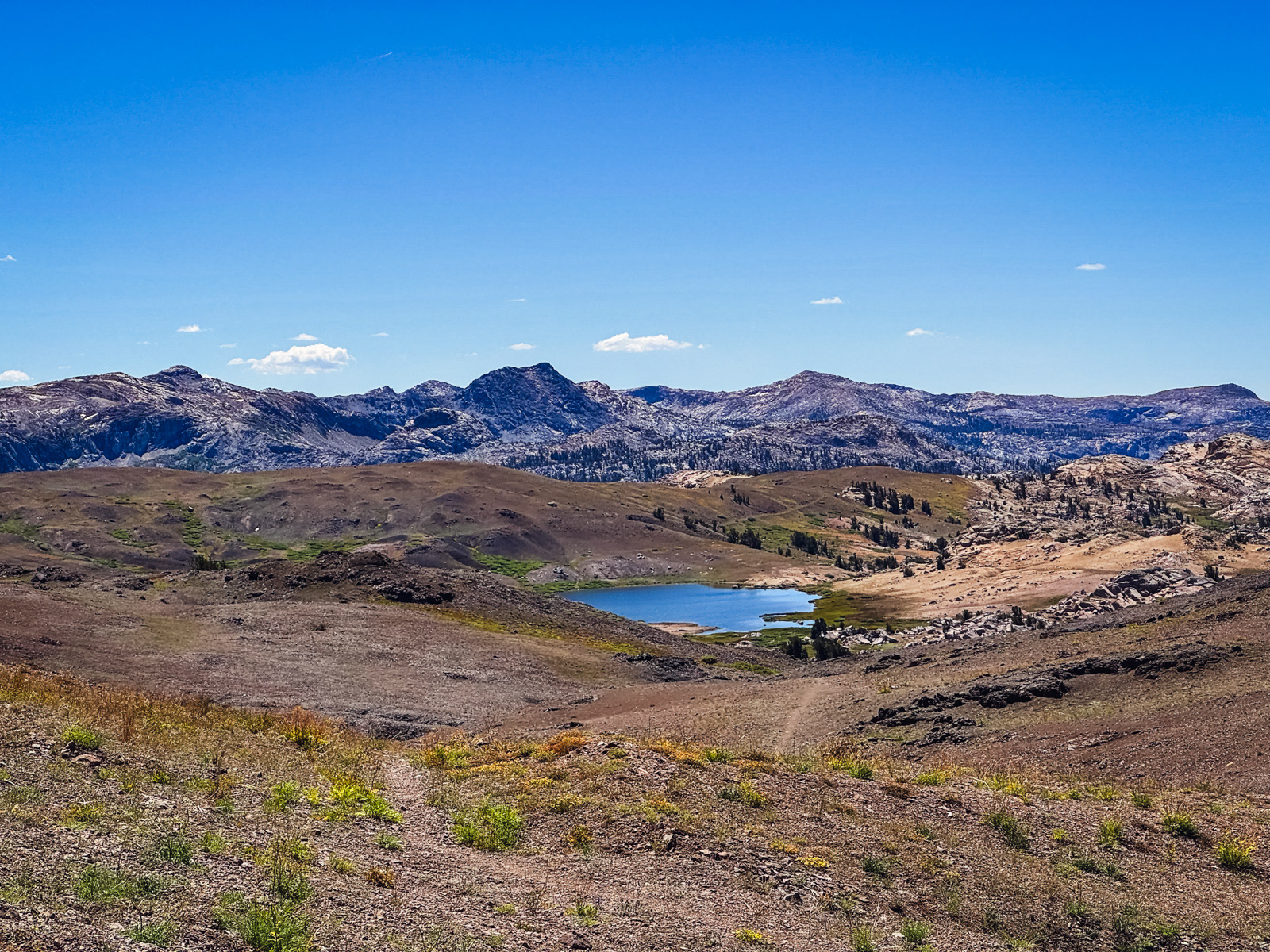
We made it to High Emigrant Lake, whose blue water shone vibrantly against the green and brown of its setting.
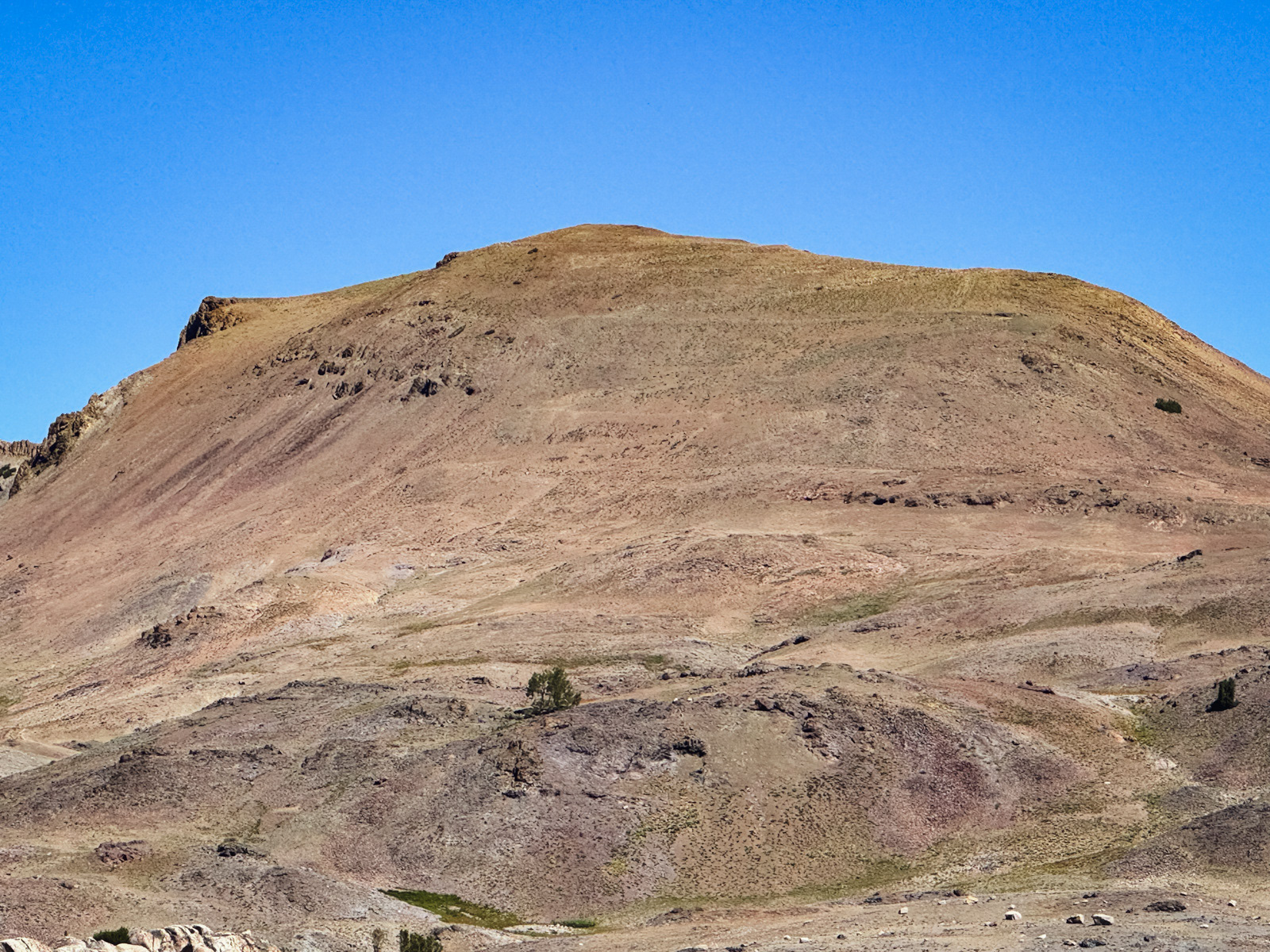
We took a break until noon, and had ample time to take in Big Sam Mountain, whose trail you can make out zig-zagging up its bulbous body.
Soon we were on those wide switchbacks, which made the 1000 foot climb fairly easy, while the windy afternoon kept our sweat from sticking around. The views were nice.
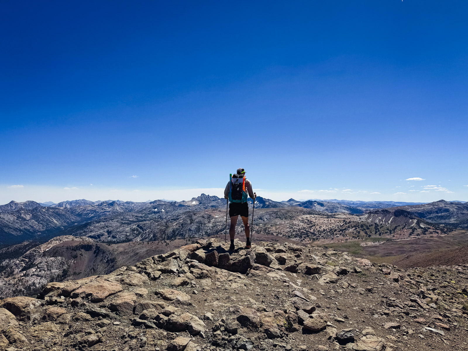
The (very windy) top.
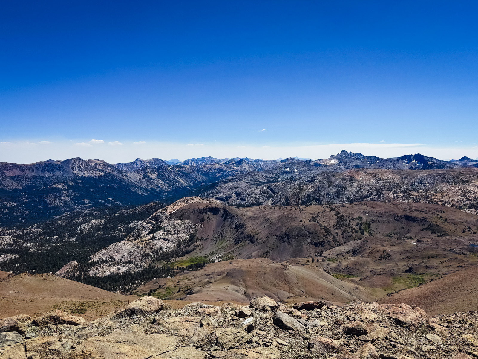
You can see the sandy, green/brown “Bridgeport” terrain transition back to granite here.
Then we were banging down the other side of Big Sam. Here you can see the main trail that leads to the PCT/Sonora Pass next to the squiggly use trail that we would take toward Kennedy Lake.
Rocky rocky rocky.
Given the popularity of Kennedy Lake, I figured that the hard stuff was behind us. But the trail to Kennedy is an intermittently heinous mess of jagged rock, endless piles of ankle breaker rock and steep, sloppy trail.
We were also descending from the 10,825 foot Big Sam Mountain all the way down to 7800 feet – and it was hot as hell down here.
We set up shop at a nice spot just above the lake and spent a long time cooling down in the shade.
The somewhat infamous cows of Kennedy Lake had their own long running shop going as well. We hiked back up the canyon in the afternoon heat and got our water from as distant of a side stream as we could find. No cow poop water!
We watched the sunset come on, amplified by the return of atmospheric smoke.
We both woke up briefly around 5 AM. The wind had picked up, and we noticed some flashes of light across the sky. My eyes were semi-closed, so it was all a little vague. My friend thought that it may have been the lights of a low-flying airplane. We went back to sleep and didn’t think much more about it.
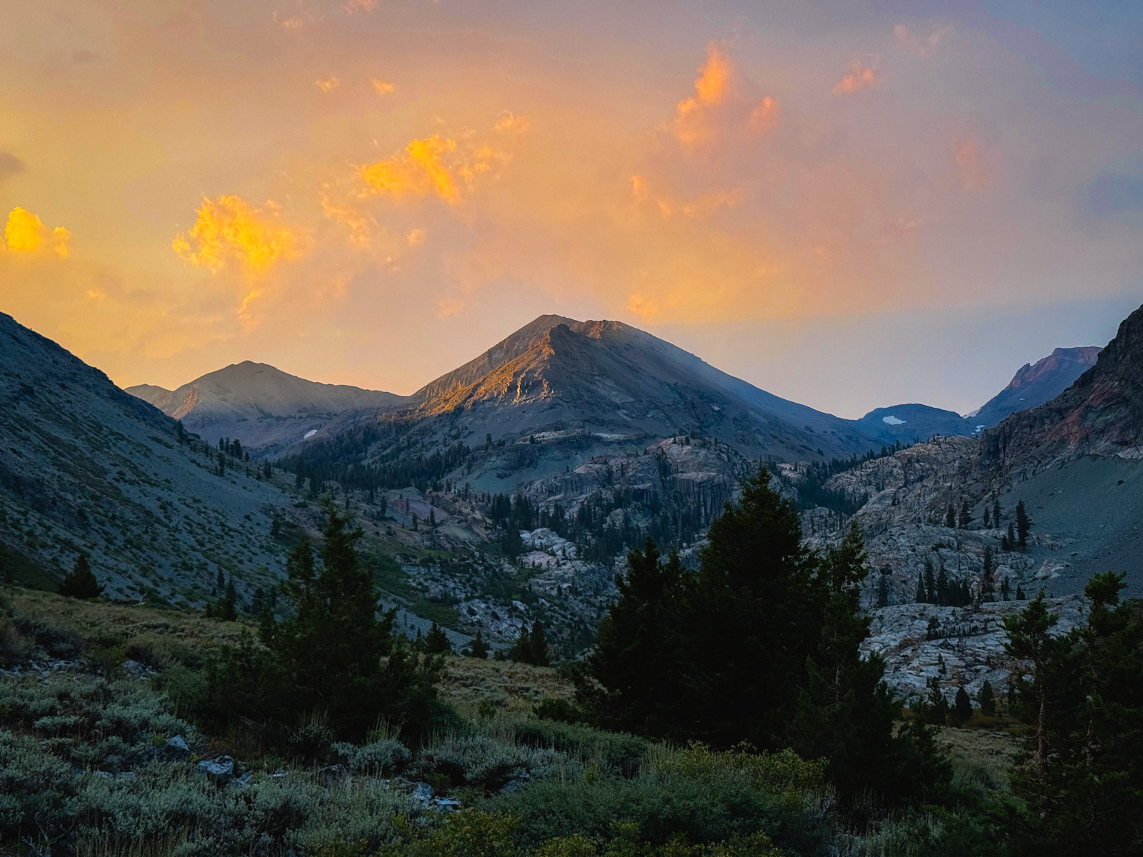
We were up at 7:30, just in time to catch a beautiful sunrise over Big Sam.
I know that it’s popular, but Kennedy Lake is gross. So much cow poop! There are tons of creeks flowing into it from the north, which is cool, but the banks of most of them are a slippery, muddy mess from all the cow poop and cow hooves. Meanwhile, the sky was giving Apocalypse Now.
I was ready to be done. Unfortunately, I turned my ankle horribly in the first mile. Extreme pain followed on every step for a while, but fortunately eased off after a bit more hiking and ibuprofen.
At the Kennedy Meadows store, we crossed paths with a young woman. She had a dog leash in one hand and a jar of pickles in the other. “You know I gotta keep the pickles on deck!!” she yelled after us. This just seems like an important moment to document. I hope she’s doing well.
This was a good trip. We saw a whole other side of Emigrant. I can’t say that it’s my favorite terrain in the world – that would be the towering granite and beautiful basins of the high Sierra. But it’s an attractive, interesting and unique landscape, and one that I’ll return to someday.

As we got on the road and eventually drifted back into cell reception, it became clear that the flashing lights overnight were lightning. And not just the few flashes that we happened to see in our half sleep. No, this storm brought down thousands of strikes that started fires all over the foothills to our west, some of which were visible from the road on our drive home.
All these fires would eventually become known as the TCU September Lightning Complex, which was responsible for destroying the historic structures of Chinese Camp (photo by Noah Berger). All in all, a dour and destructive end to a nice trip. The mountains, as usual, are not fucking around.