August 31 - September 7, 2019
We left the East Bay at 7 AM, picked up a stray hiker in Fresno around 10, and were at Roads End waiting for a walkup permit by 1 PM. It was the Saturday of Labor Day weekend: the busiest day of the year in the park. Most walk-up hopefuls were only able to get permits for the following day, but we were hiking up Copper Creek and managed to get permits for four people (including James, the stray but very friendly hiker) leaving that afternoon. In the Sierra, it pays to have obscure taste.
It was hot as hell at 5000 feet and the Copper Creek trail is completely south-facing, so we dawdled by the car until 4 PM, when shadows finally started to inch their way up the mountain. Four hot, unremarkable miles and 2500 feet of elevation gain later, we rolled into Lower Tent Meadow for the night.
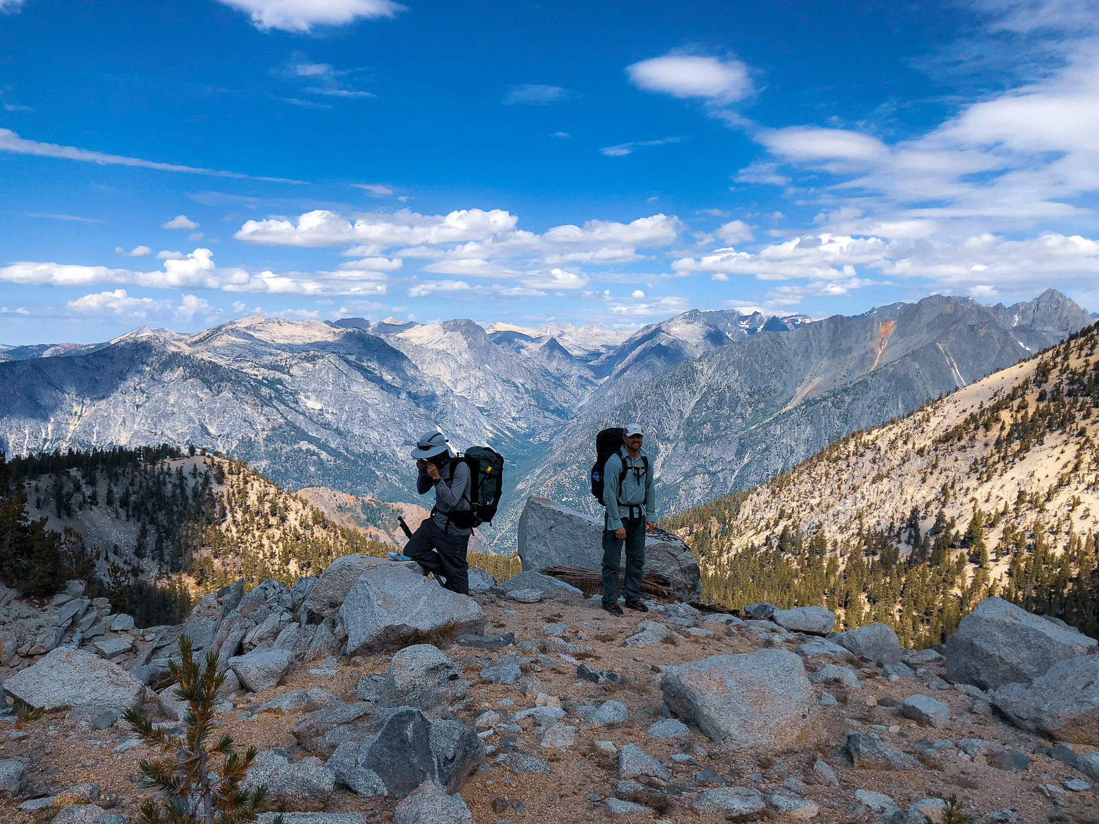
The next morning was another four miles and 2500 feet of gain until we finally reached the inauspicious cairn marking the start of the Sierra High Route (SHR). We followed an intermittent use trail to Grouse Lake, where we finally broke from the trees and into the high country.
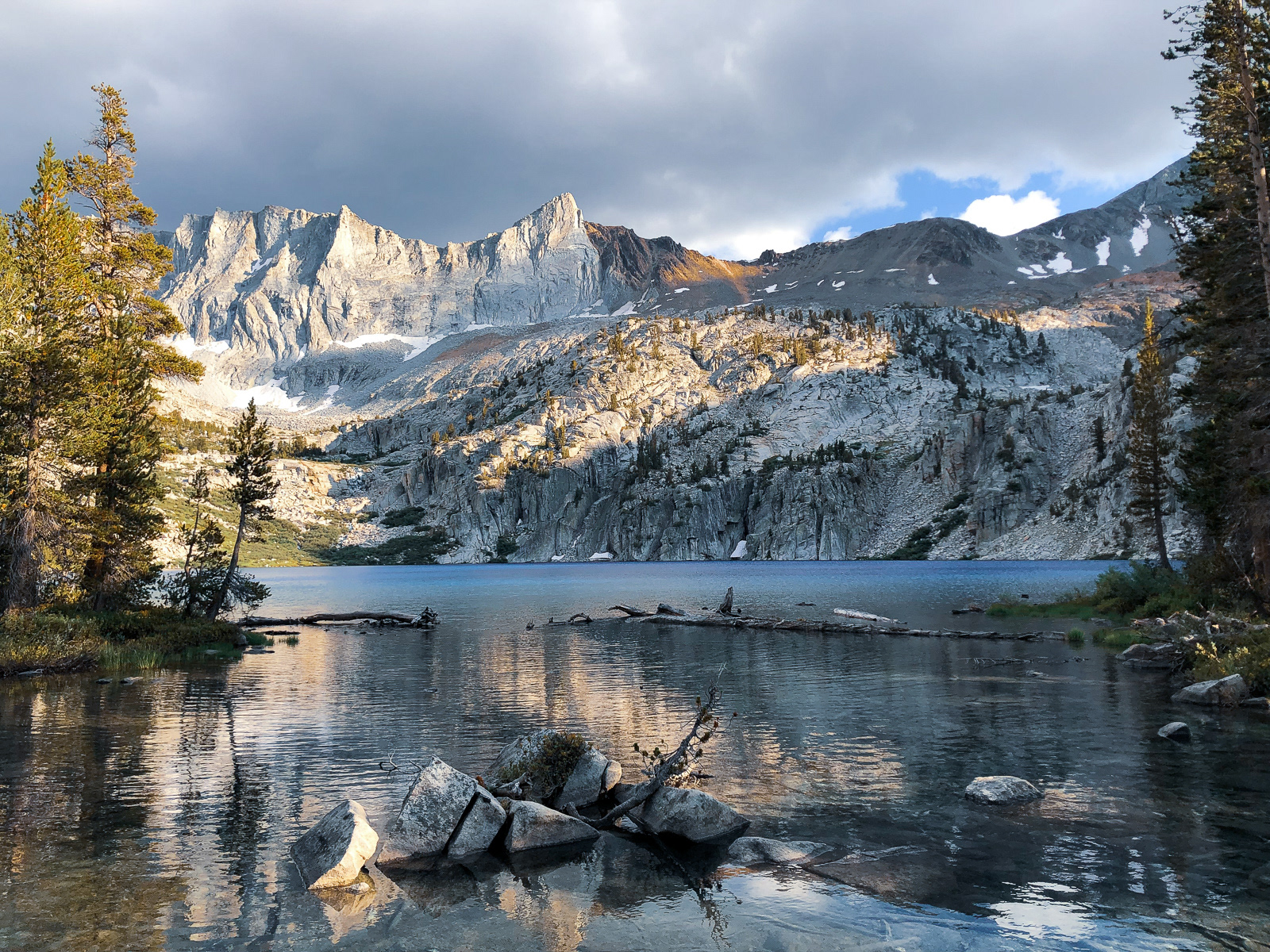
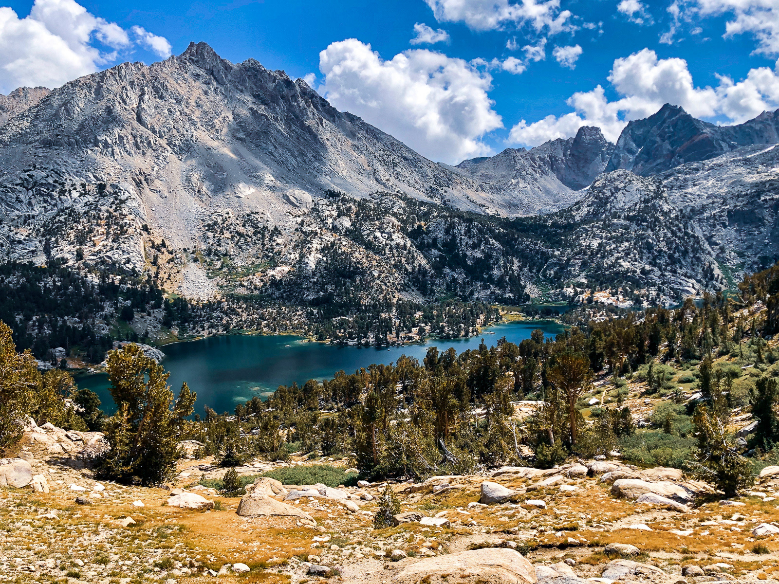
Looking back at Grouse Lake, with seemingly all of Sequoia looming behind it.
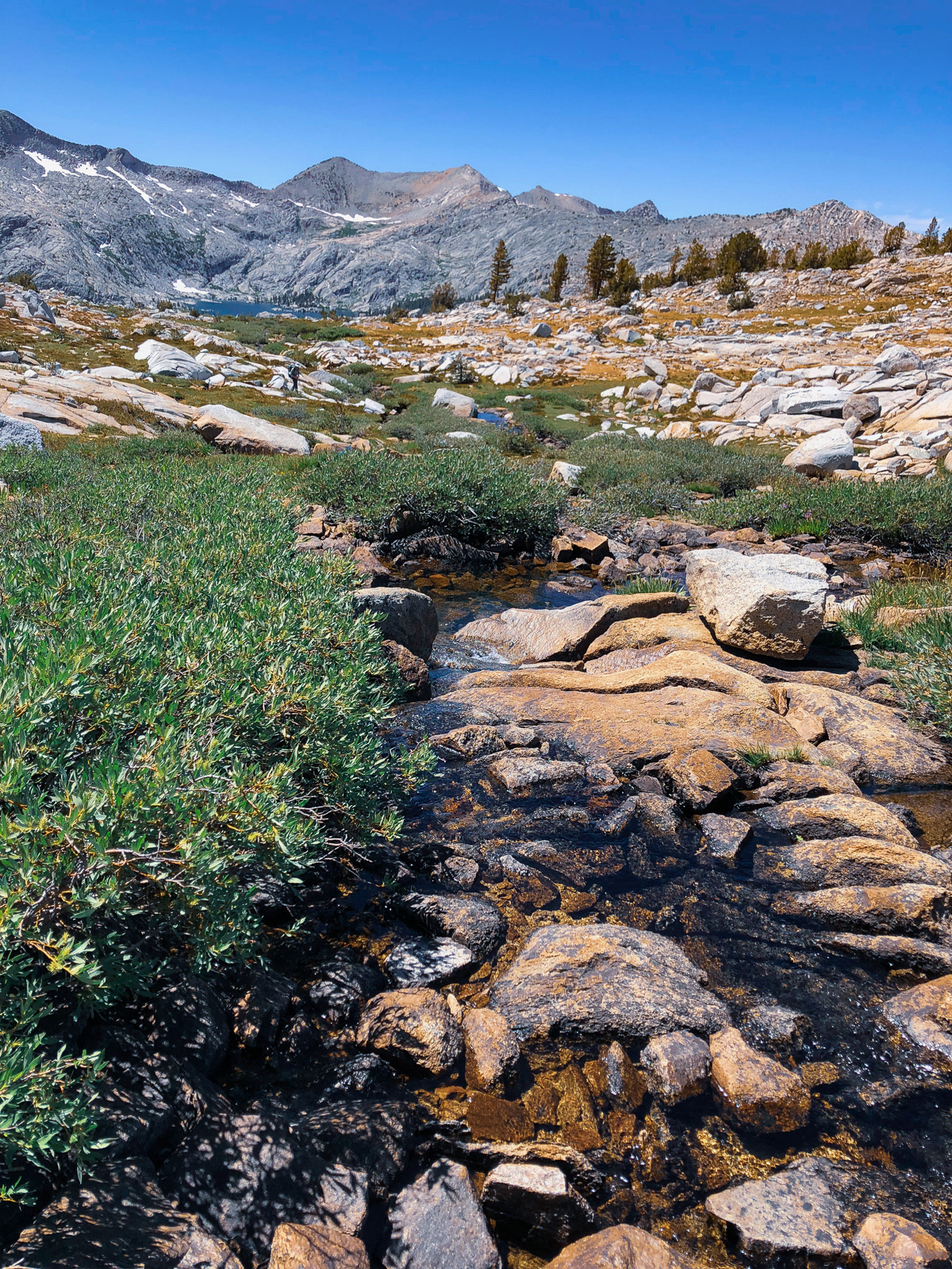
From the top of Grouse Lake Pass, we descended to a beautiful stream flowing down into Granite Basin. It doesn't come across in photos, but it was a perfect spot, and the site of a long, leisurely break.
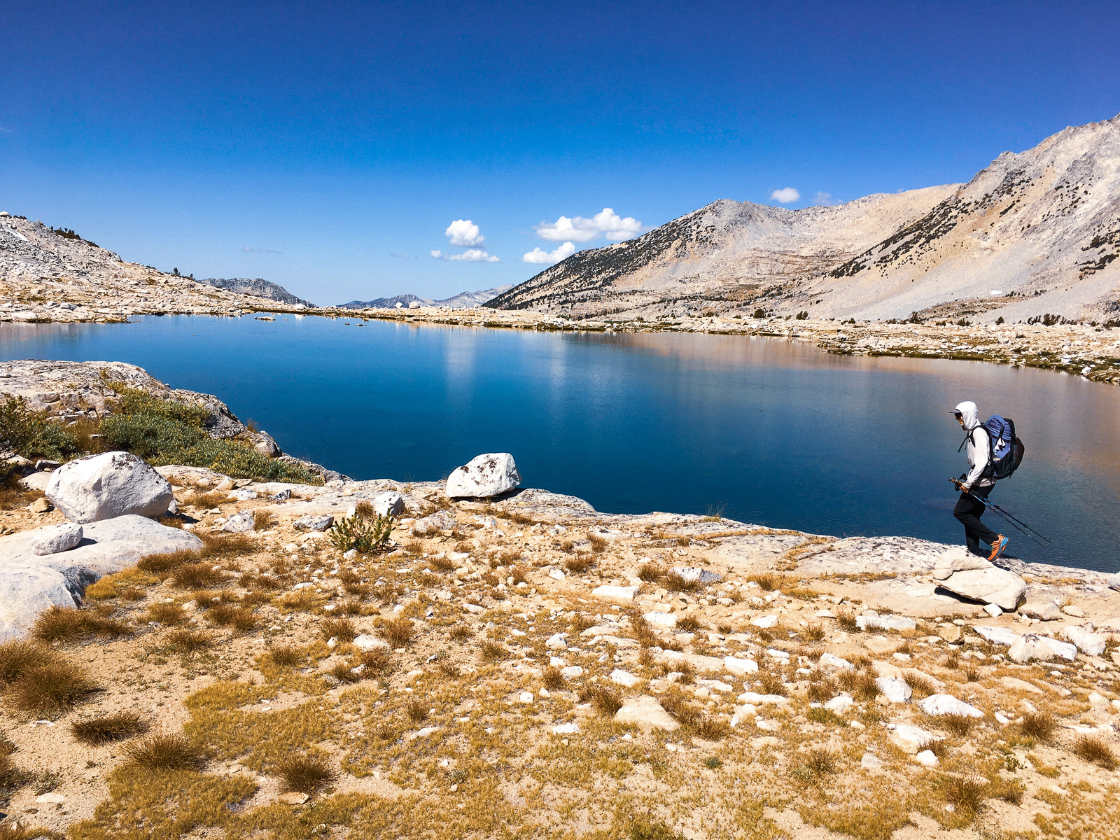
From there, it was more gentle terrain up to Goat Crest Saddle and its glorious snowmelt tarn -- by far the coldest water I drank on the trip.
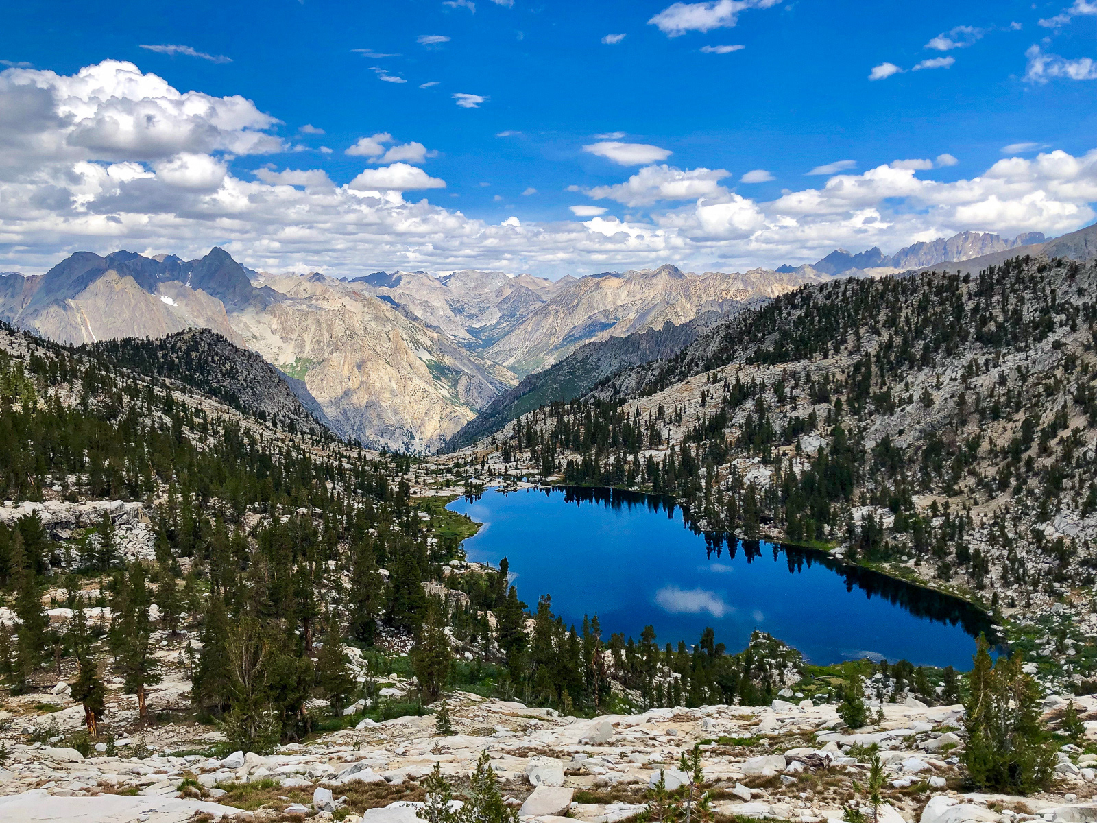
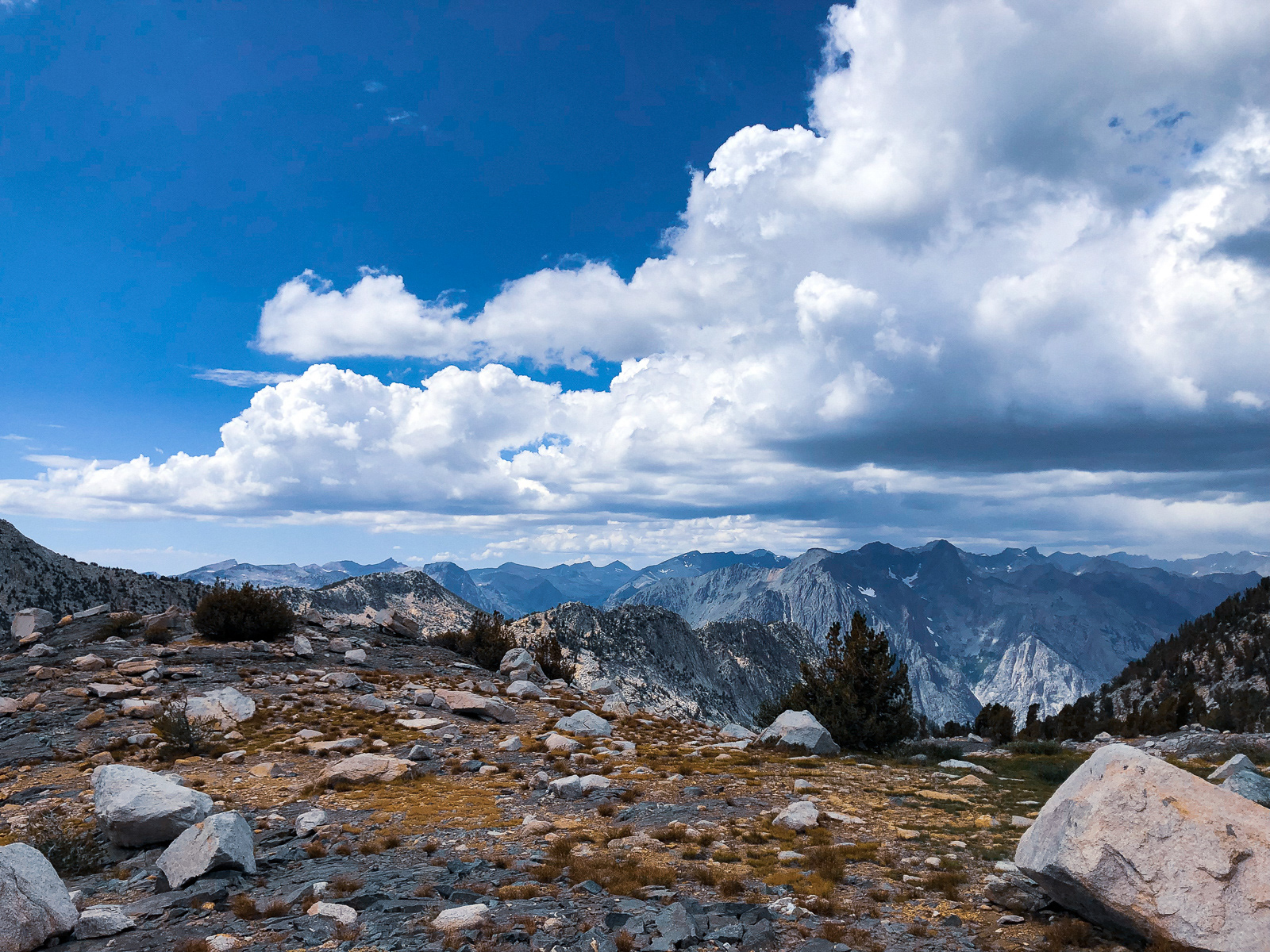
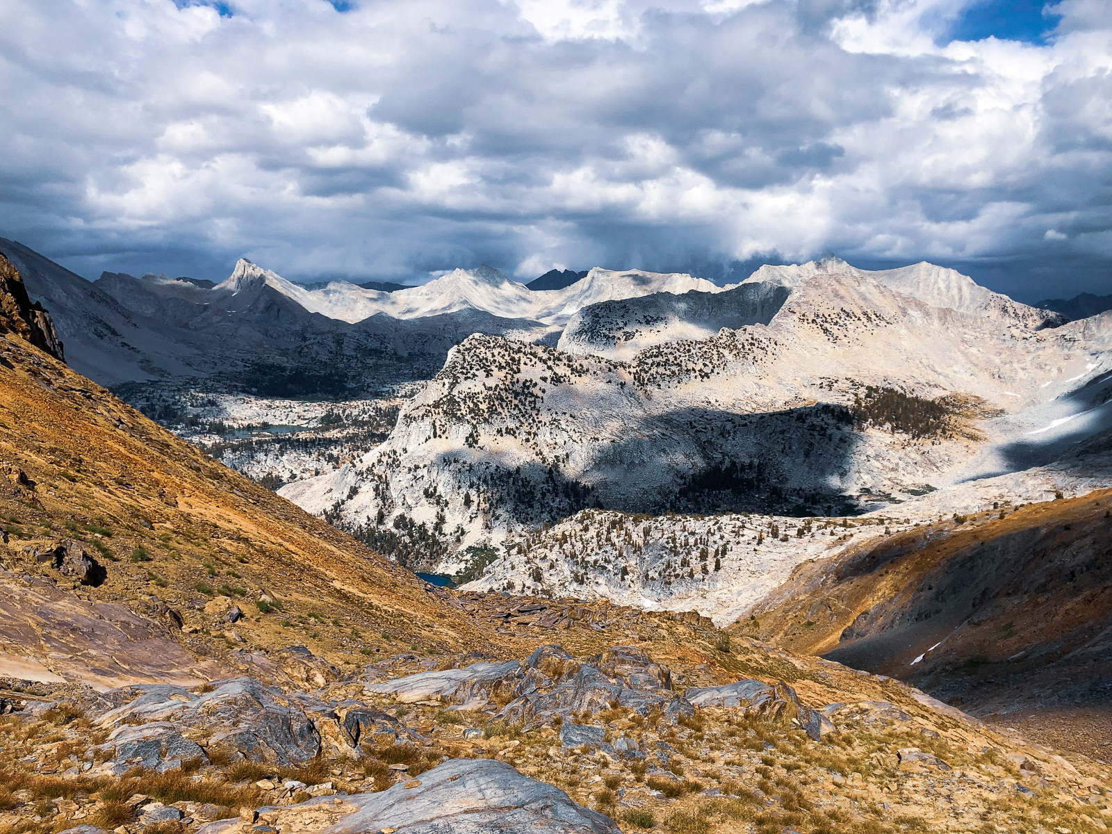
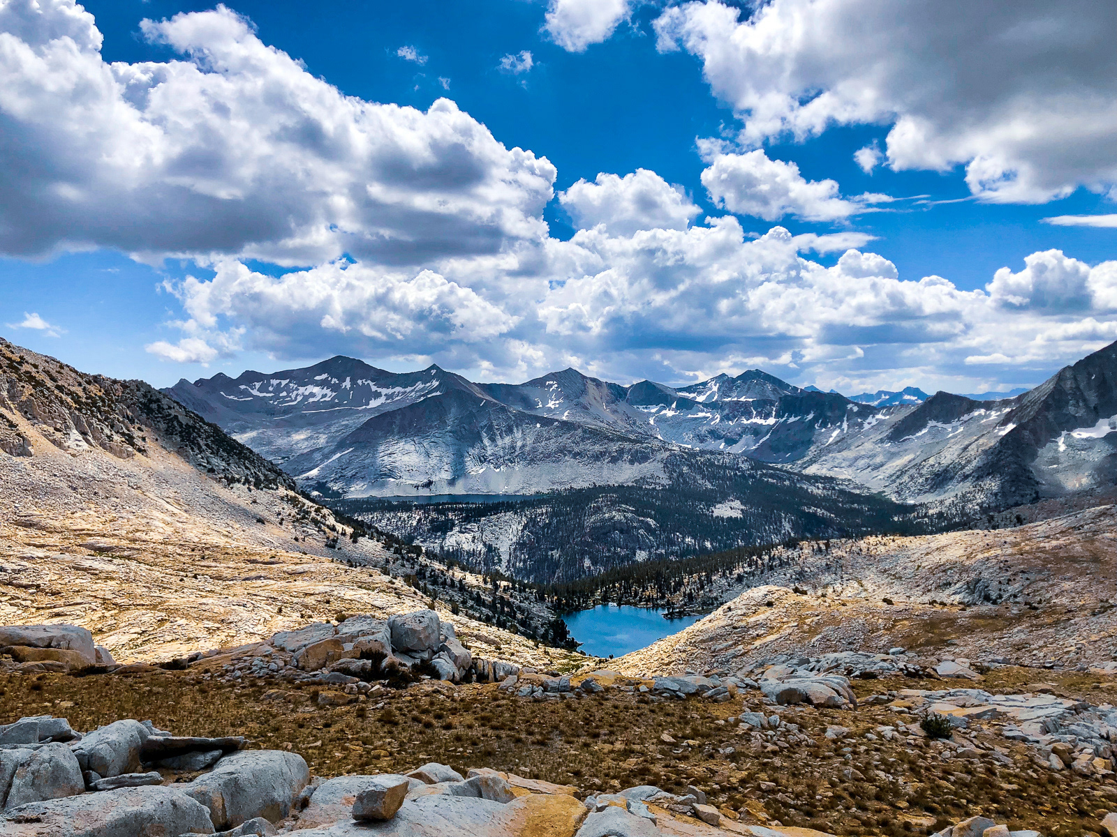
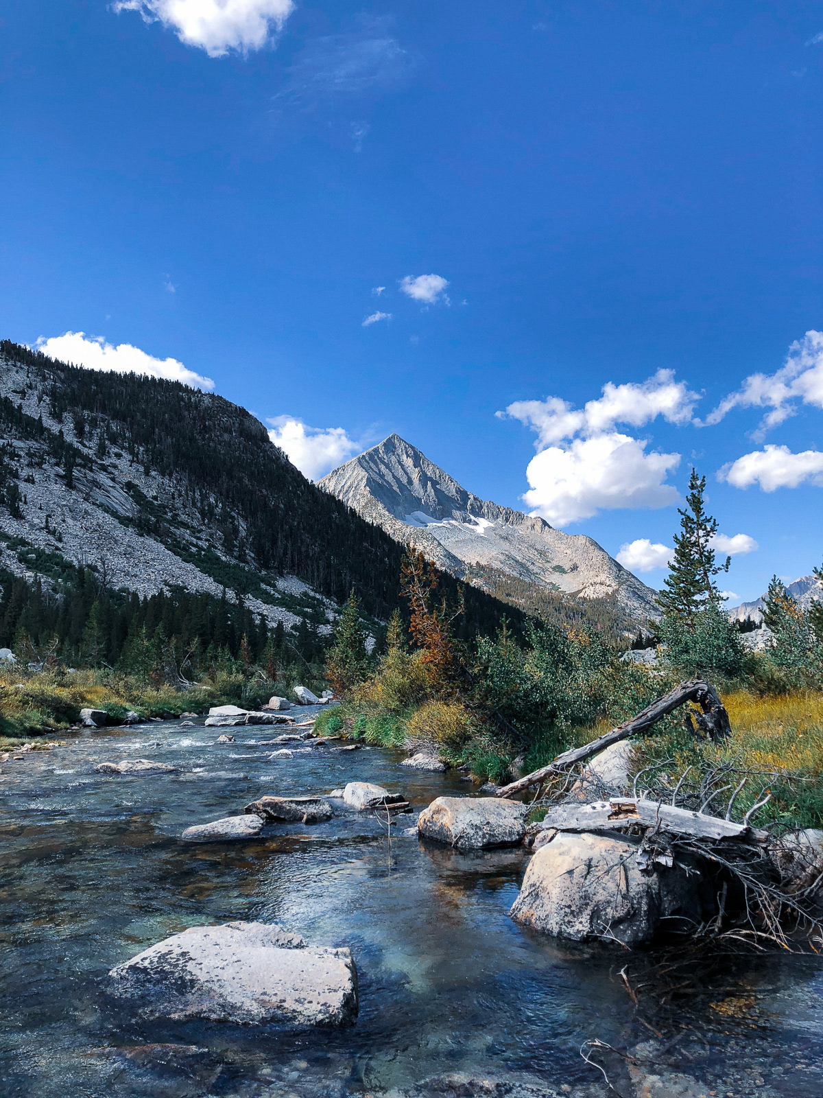
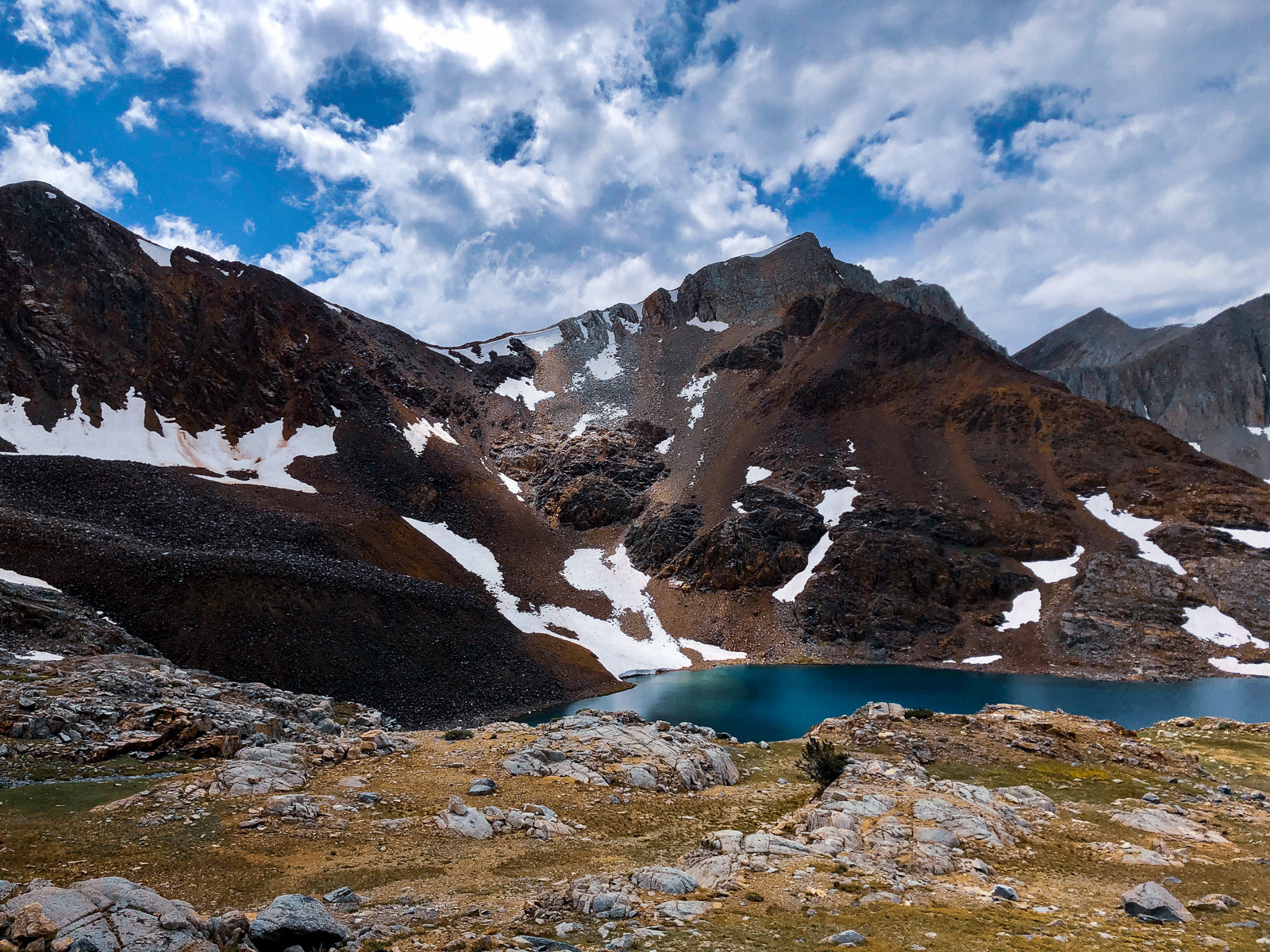
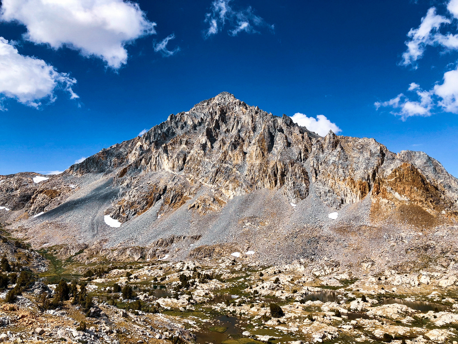
On the other side of the pass, the striking Palisades loomed in the distance, some 15 miles away (top left). The route down to Upper Glacier Lake was not difficult, though it was muddled by a series of high angle snowfields.
Glacier Valley was beautiful, but soggy and dominated by mosquitos.
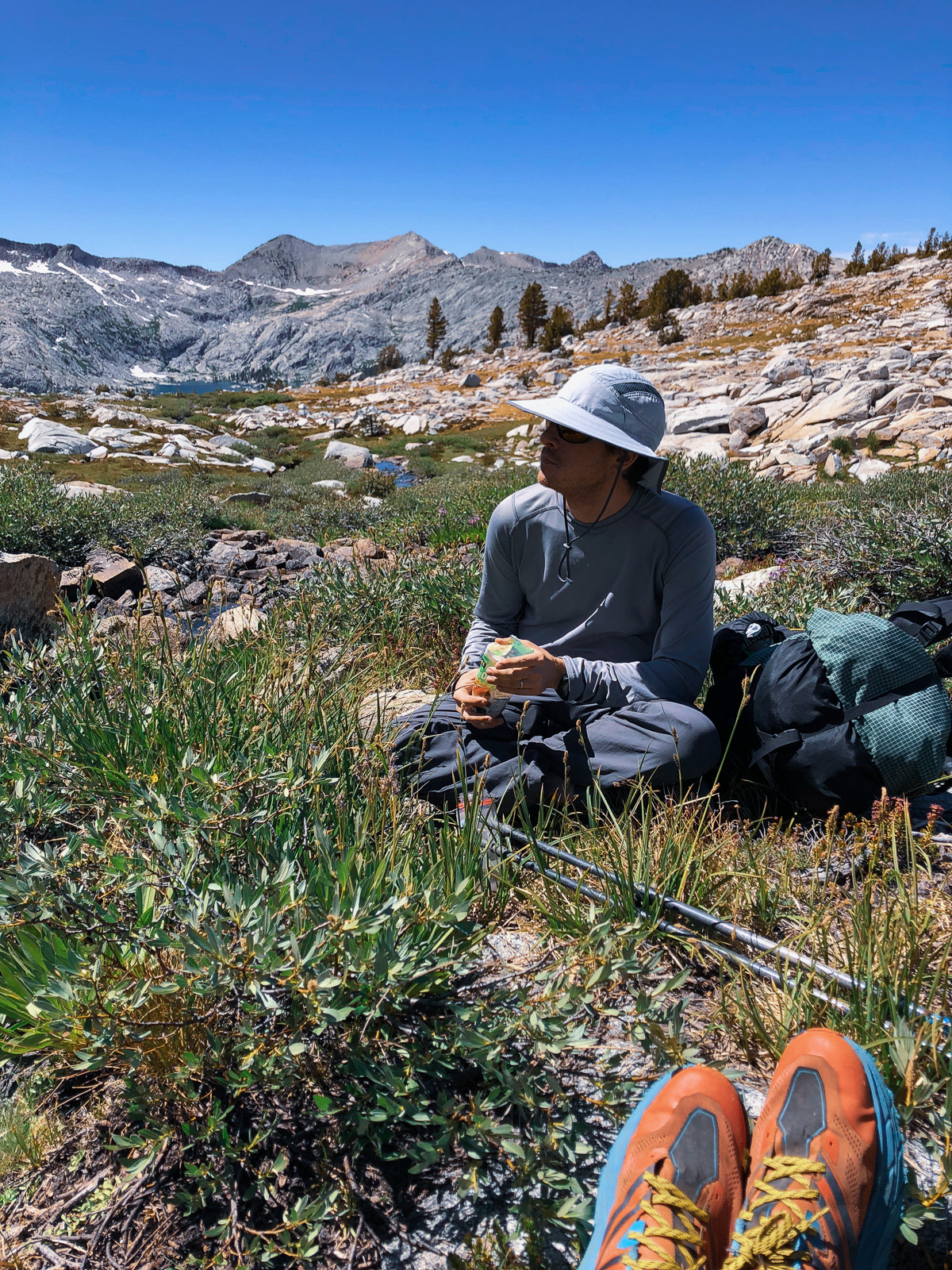
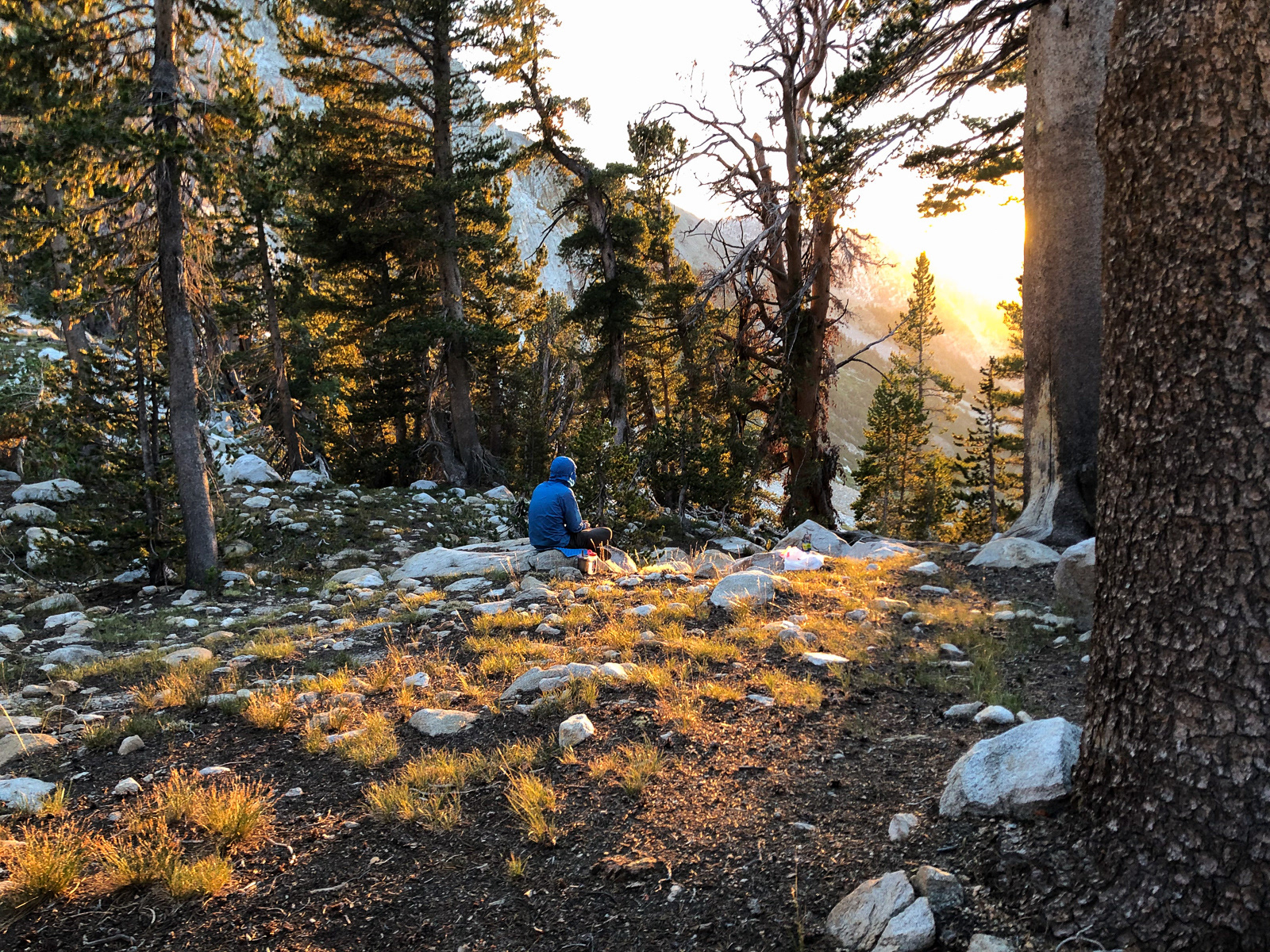
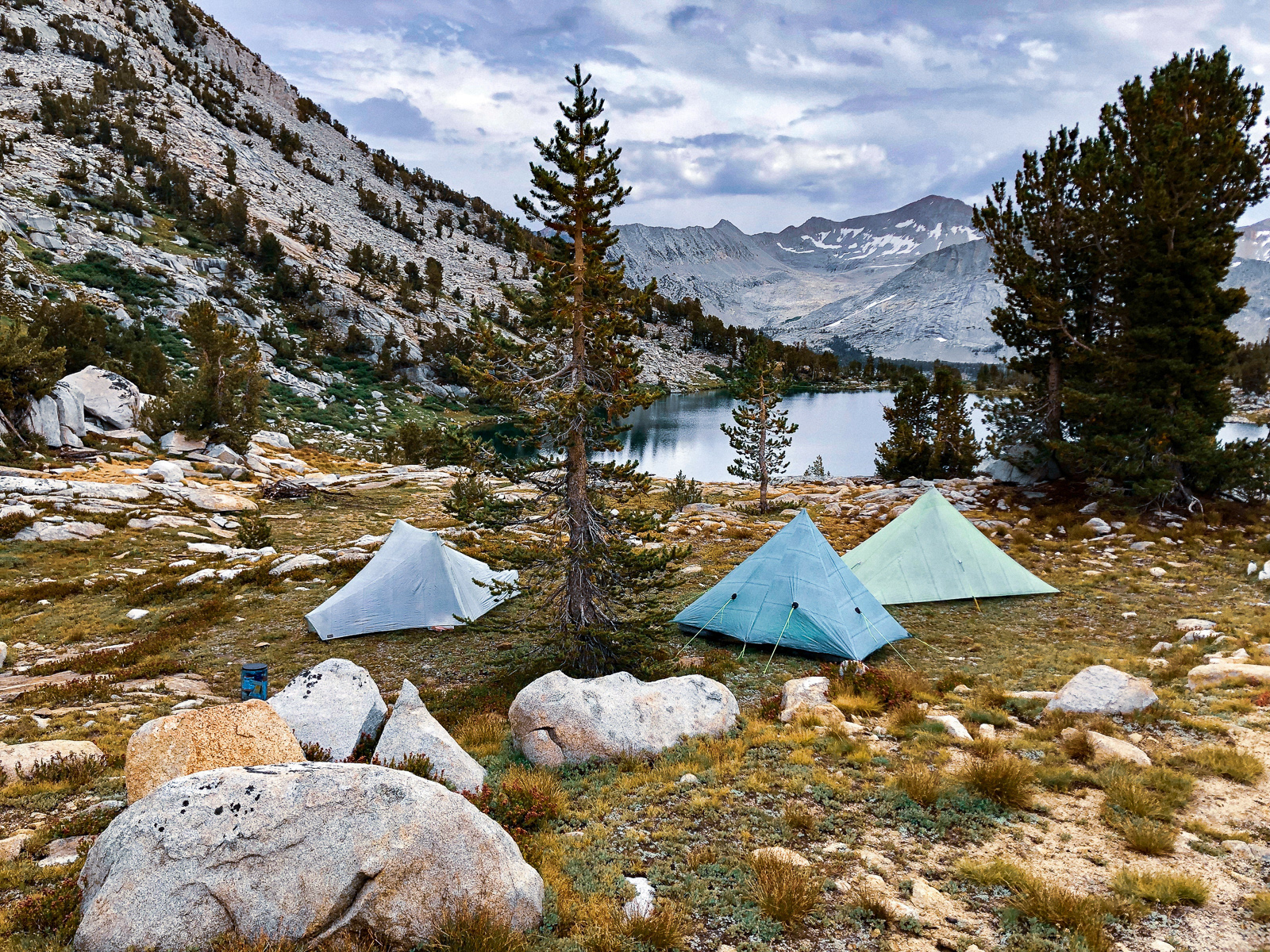
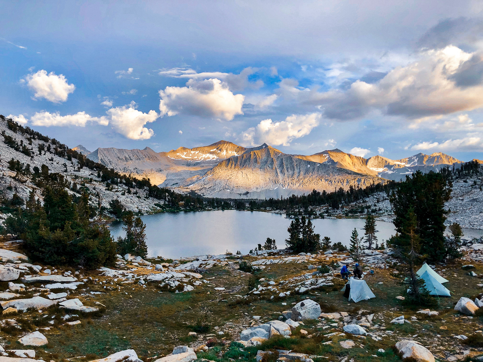
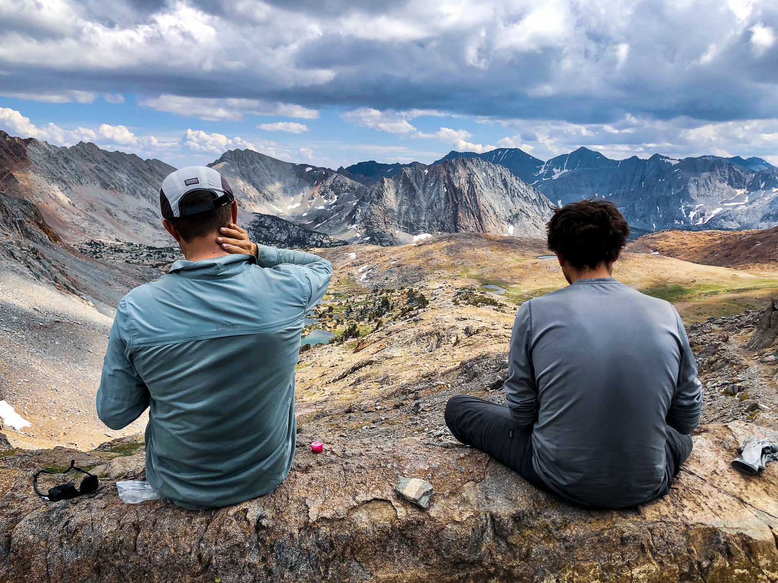
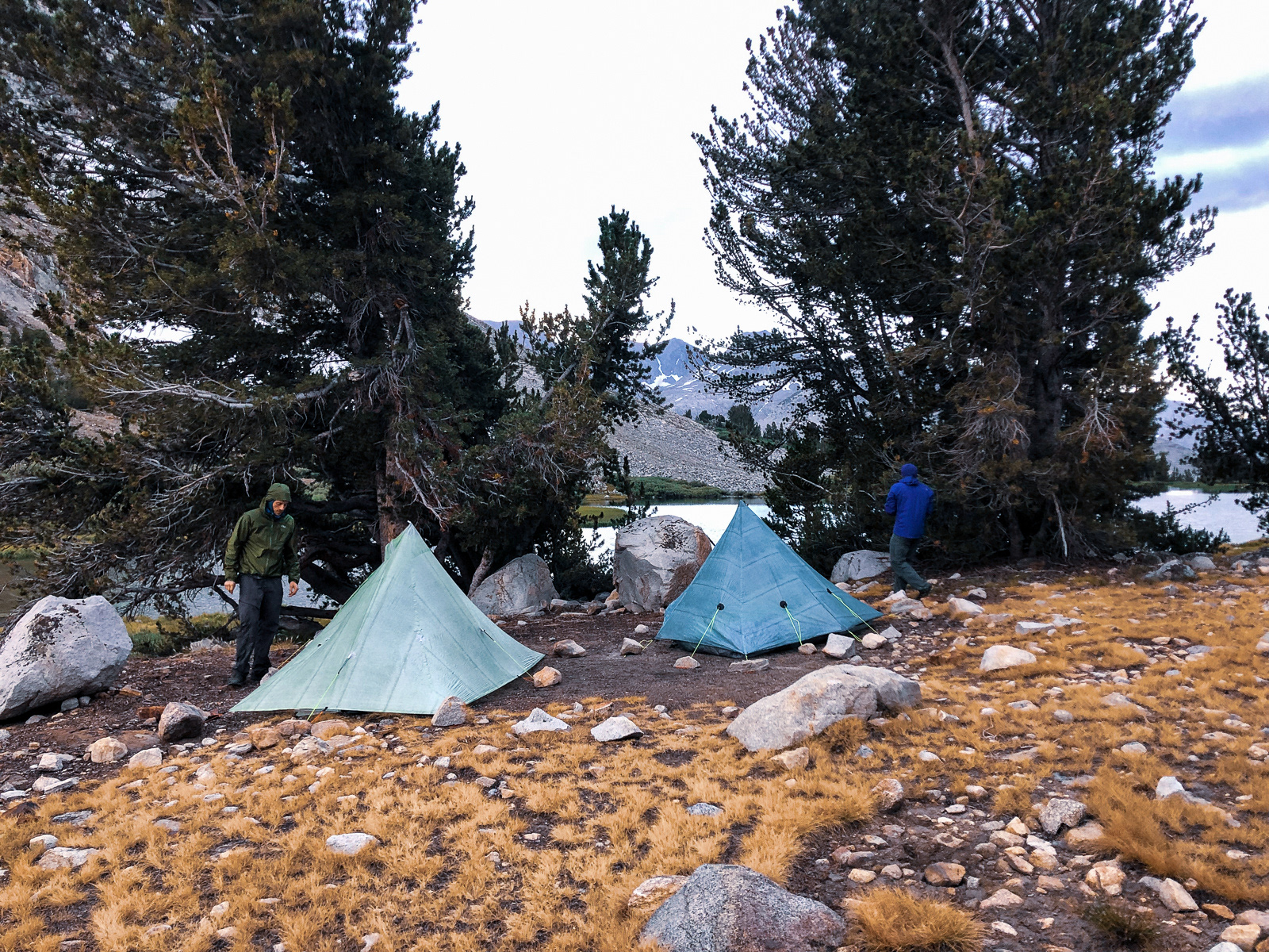
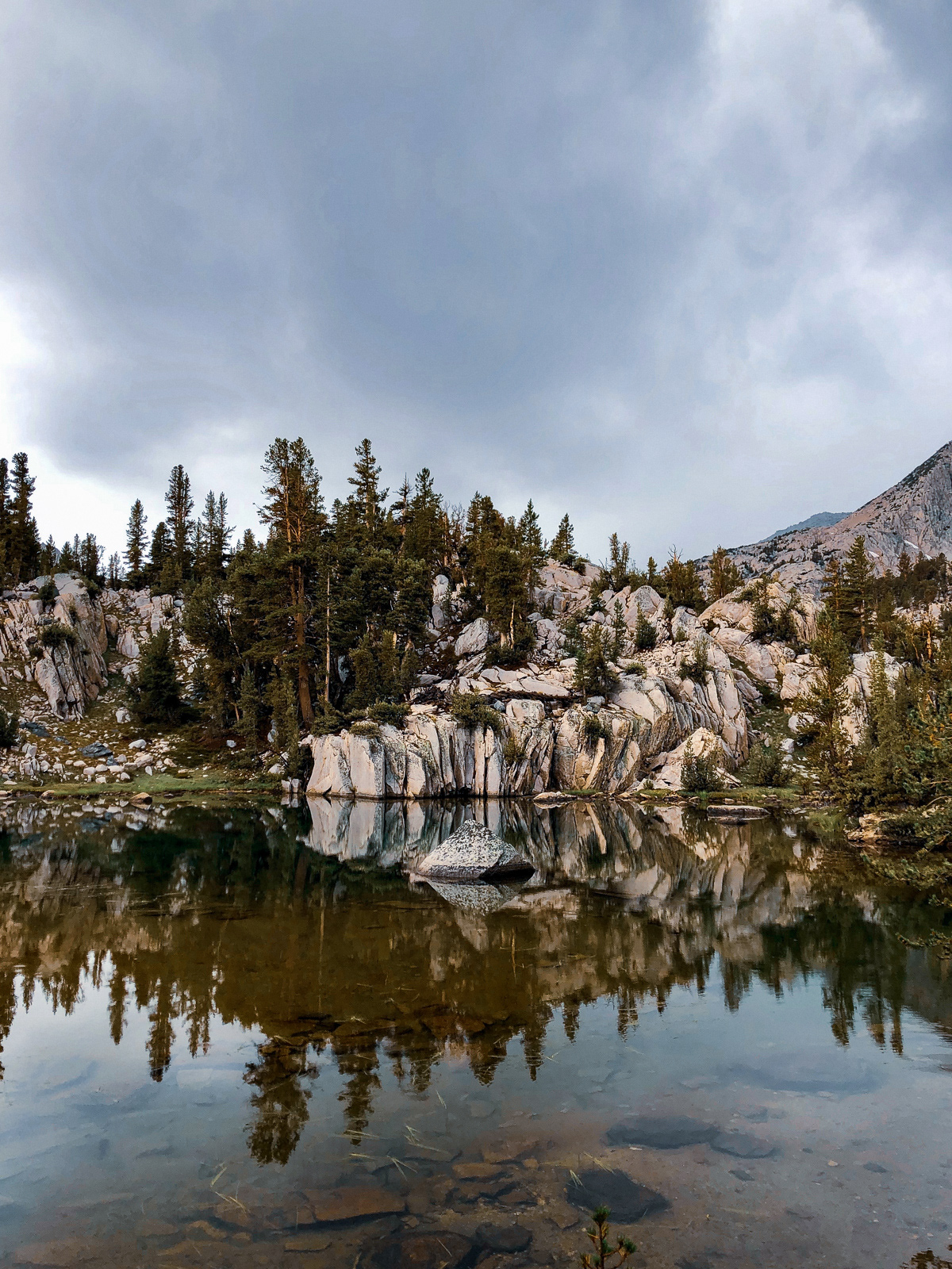
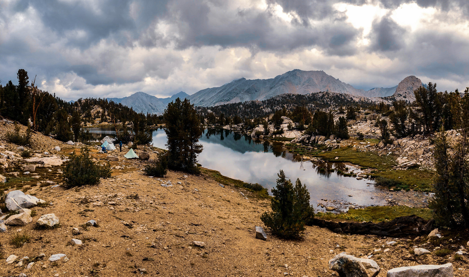
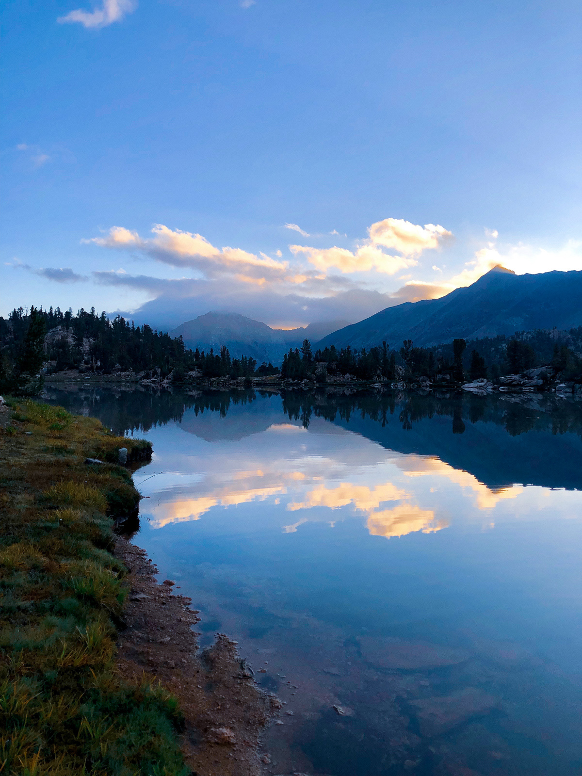
We finally made it to State Lakes, and were feeling pretty worked by a long first full day (11 miles and 4500 ft of gain) and the altitude (high).
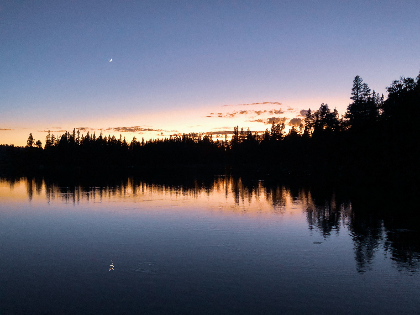
Goodnight!
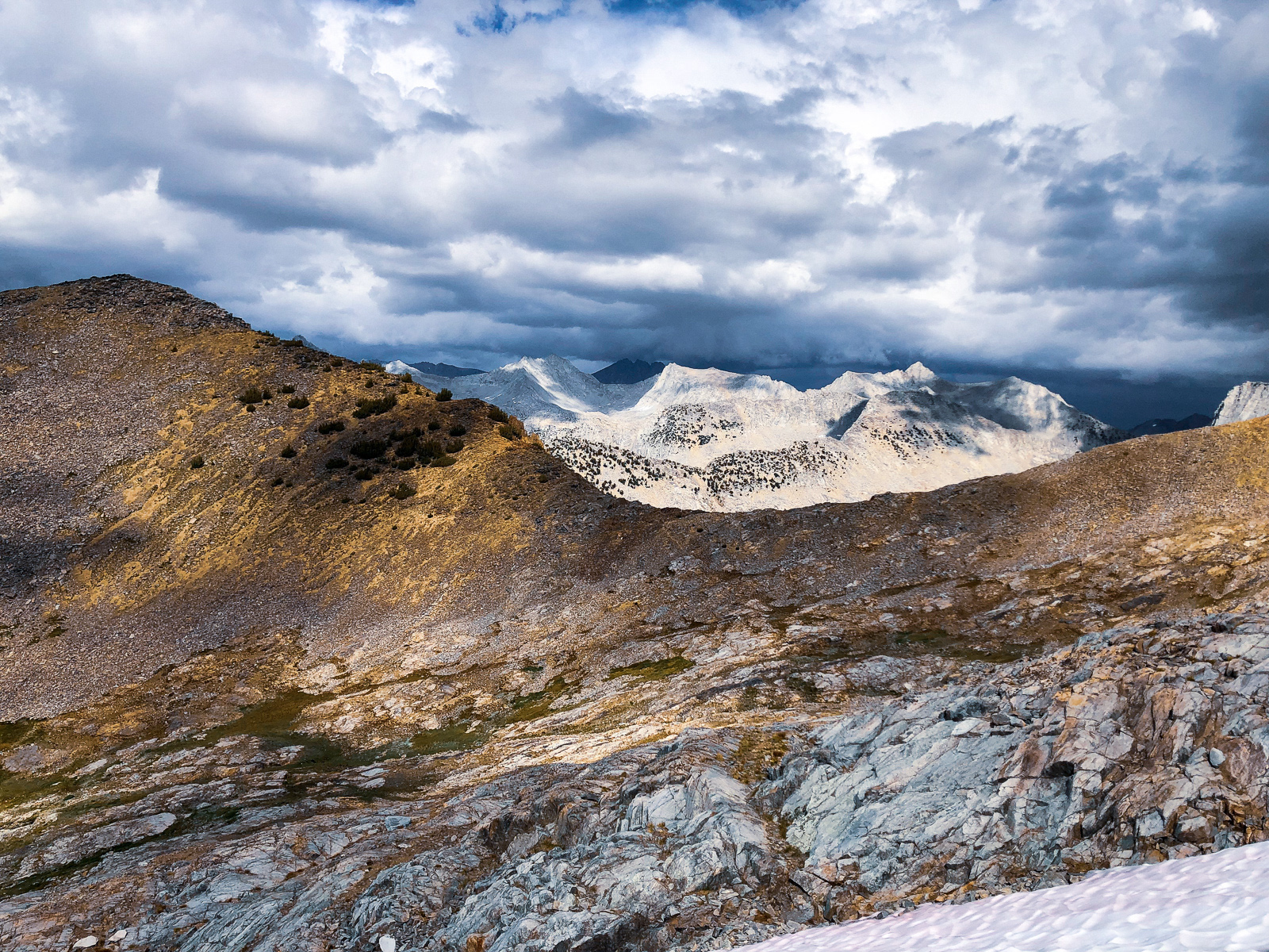
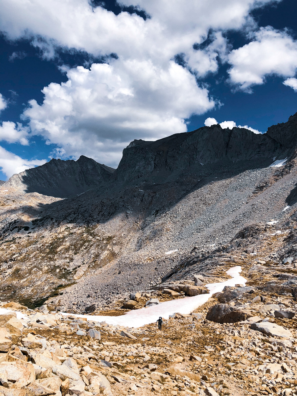
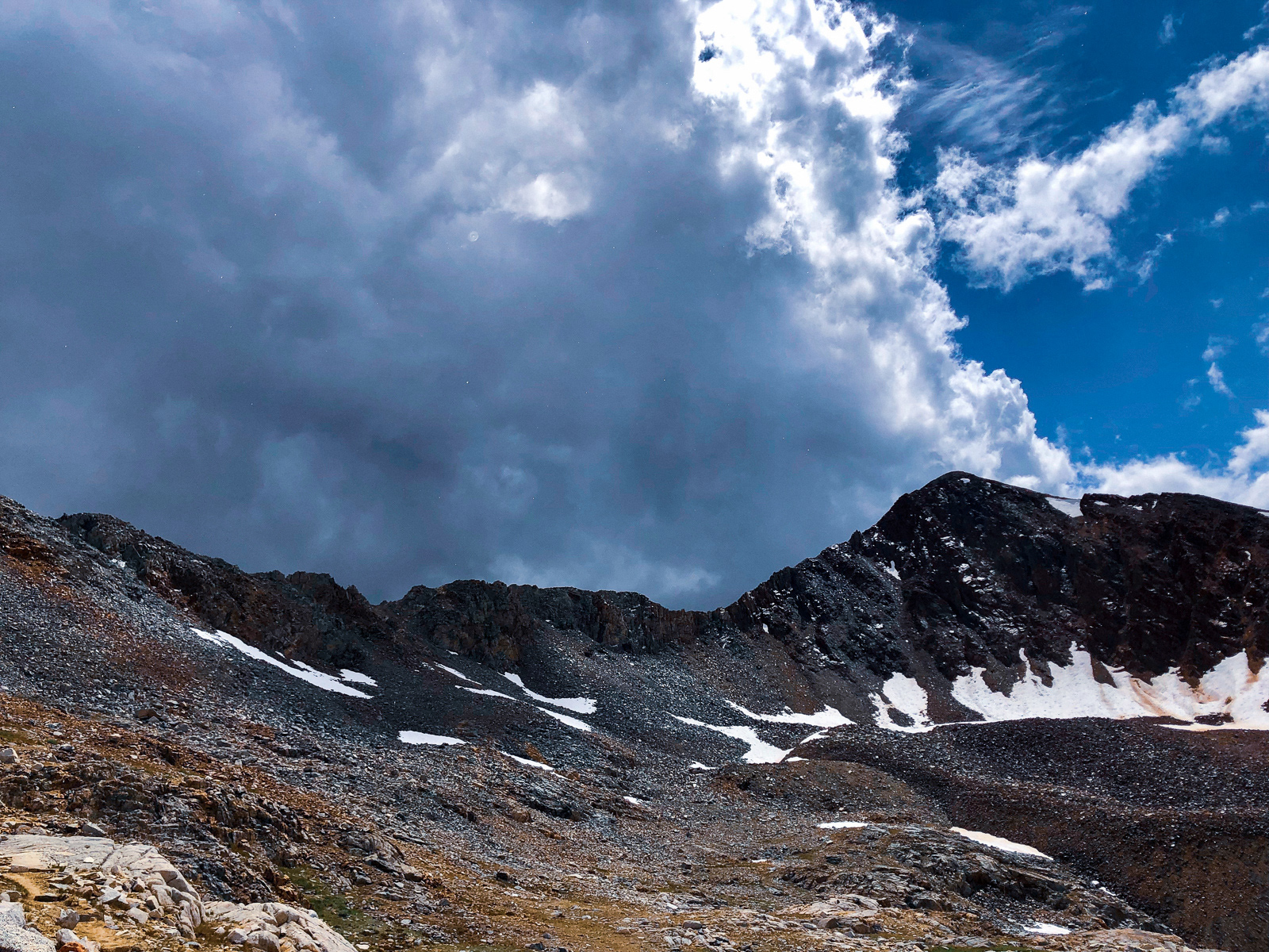
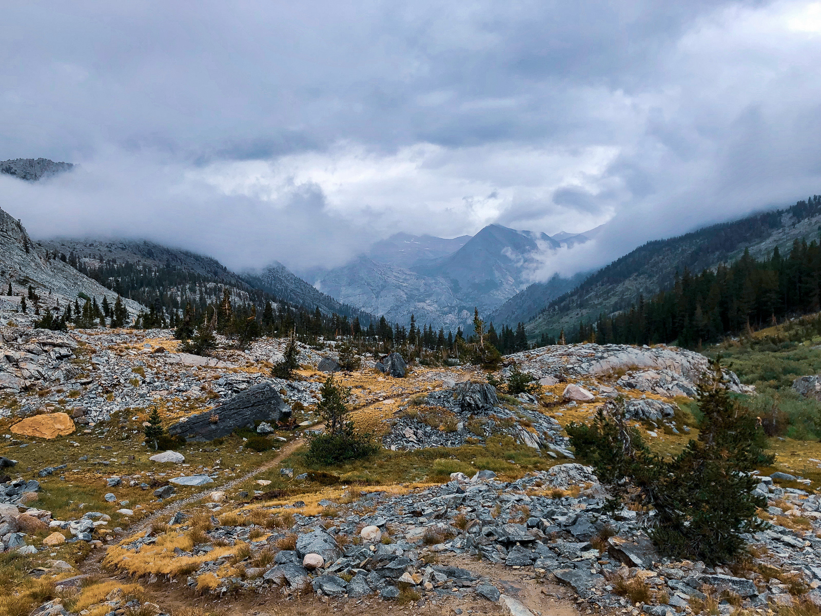
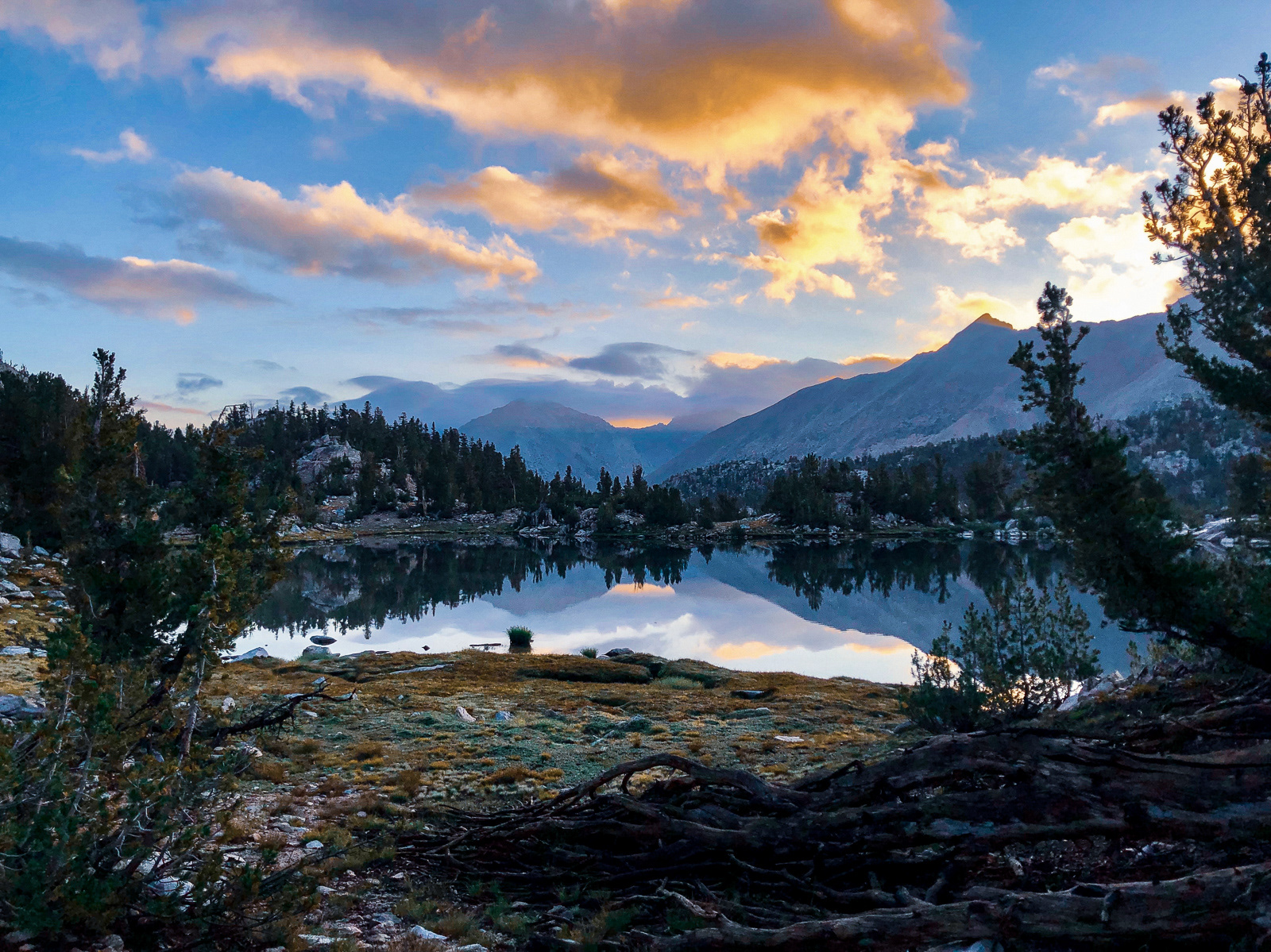
We woke to morning clouds -- rare in the Sierra. The forecasted thunderstorm system couldn't be far behind.
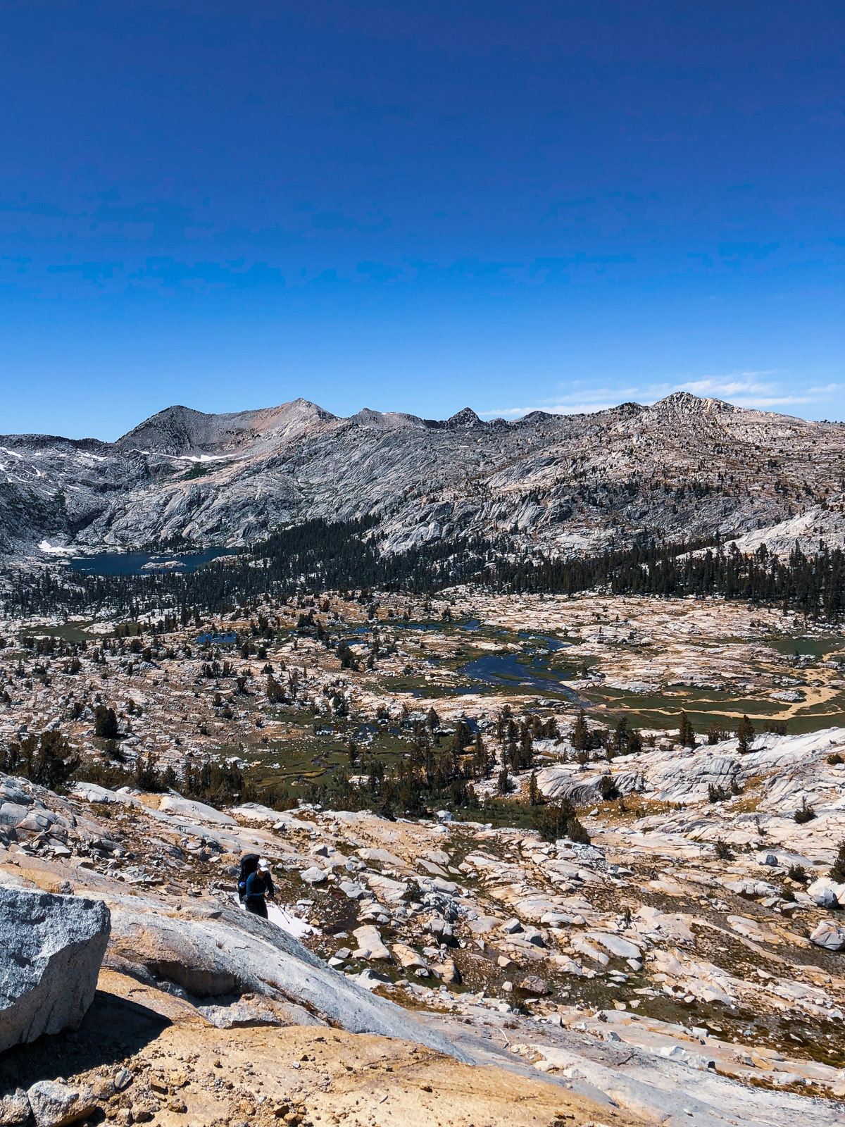
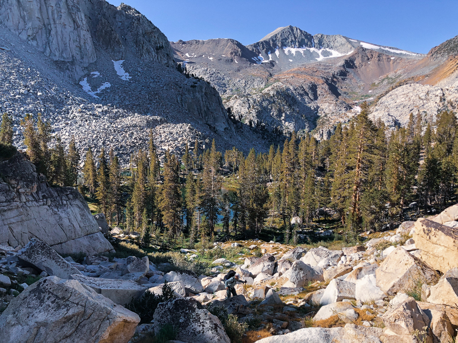
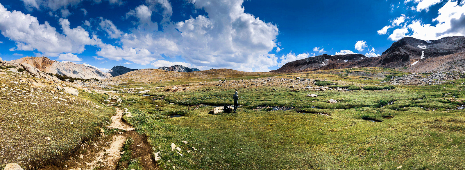
The day started with old, unmaintained trails and cross country travel leading up to this ridge, where we turned a hard right (east) and kept chugging up the rocky hillside.
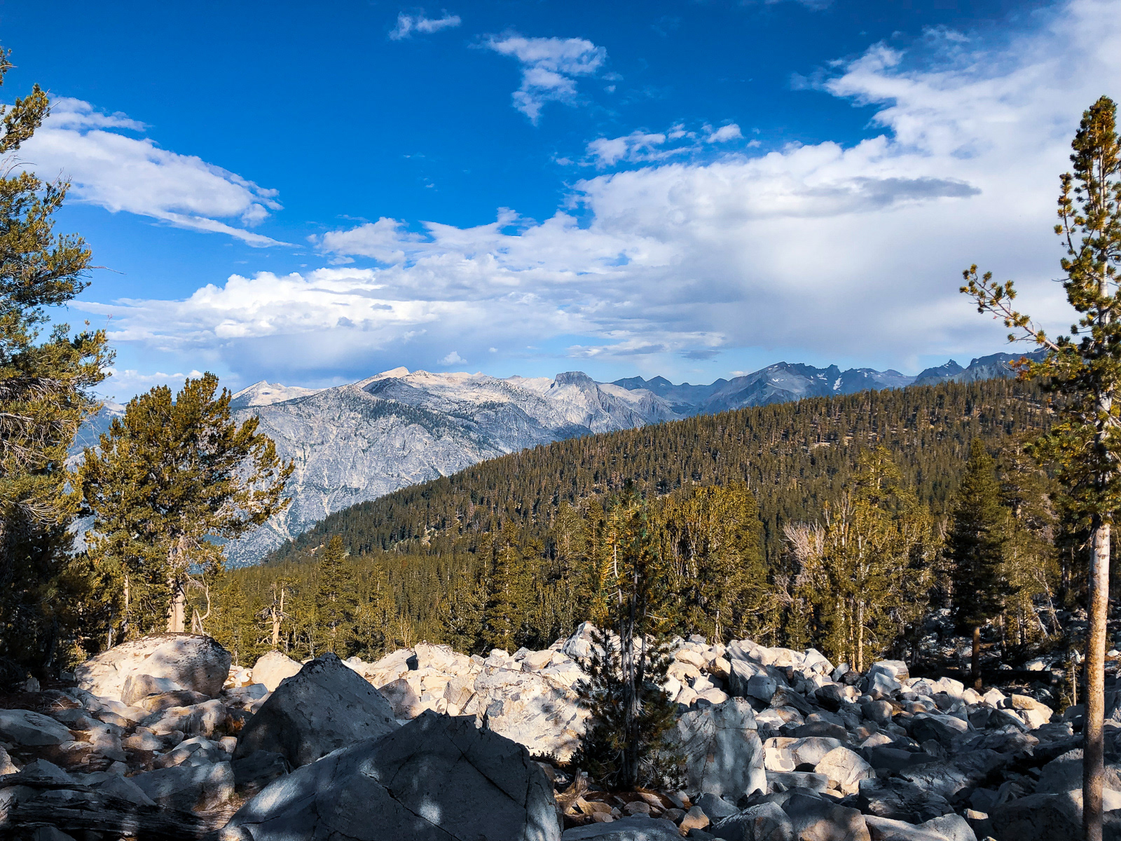
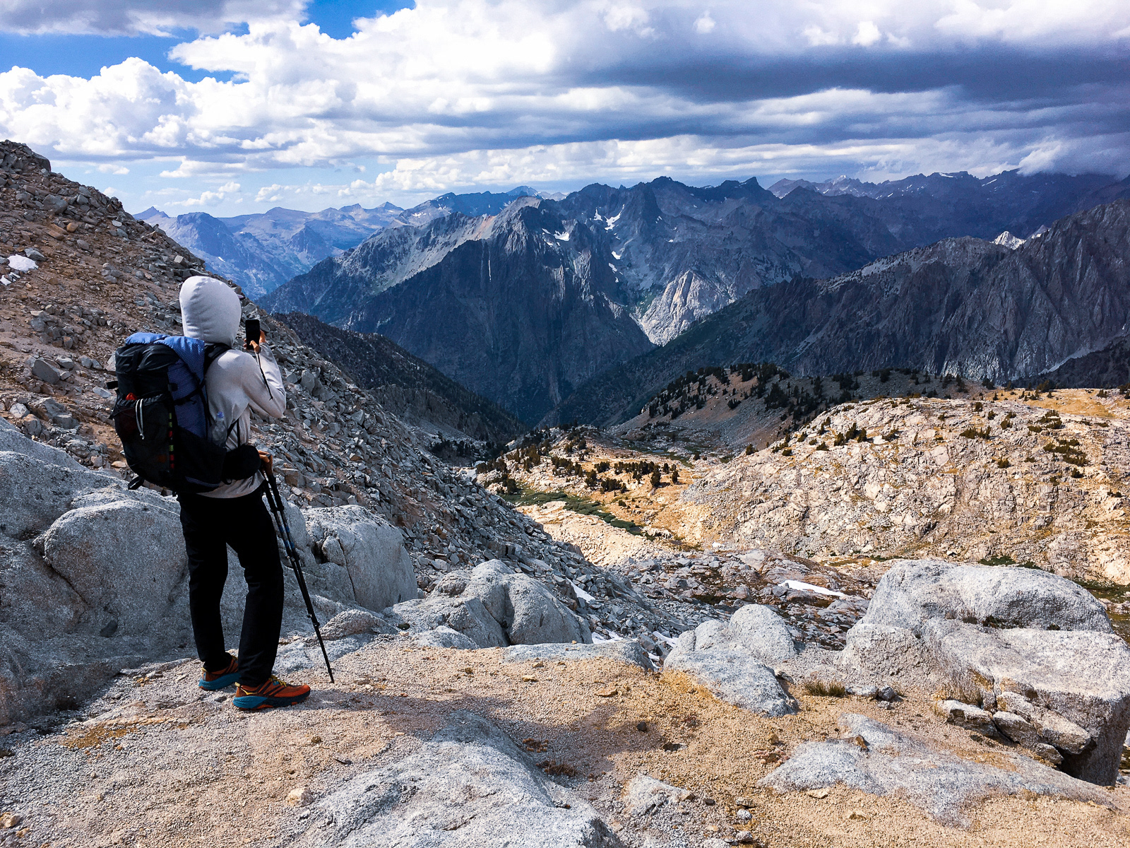
Near the top of the climb, we came upon an OK view.
Just kidding, it was one of the more amazing things I've seen in the Sierra. (We're looking up the Goddard Creek drainage.)
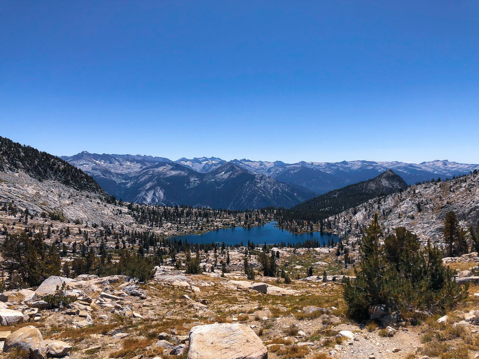
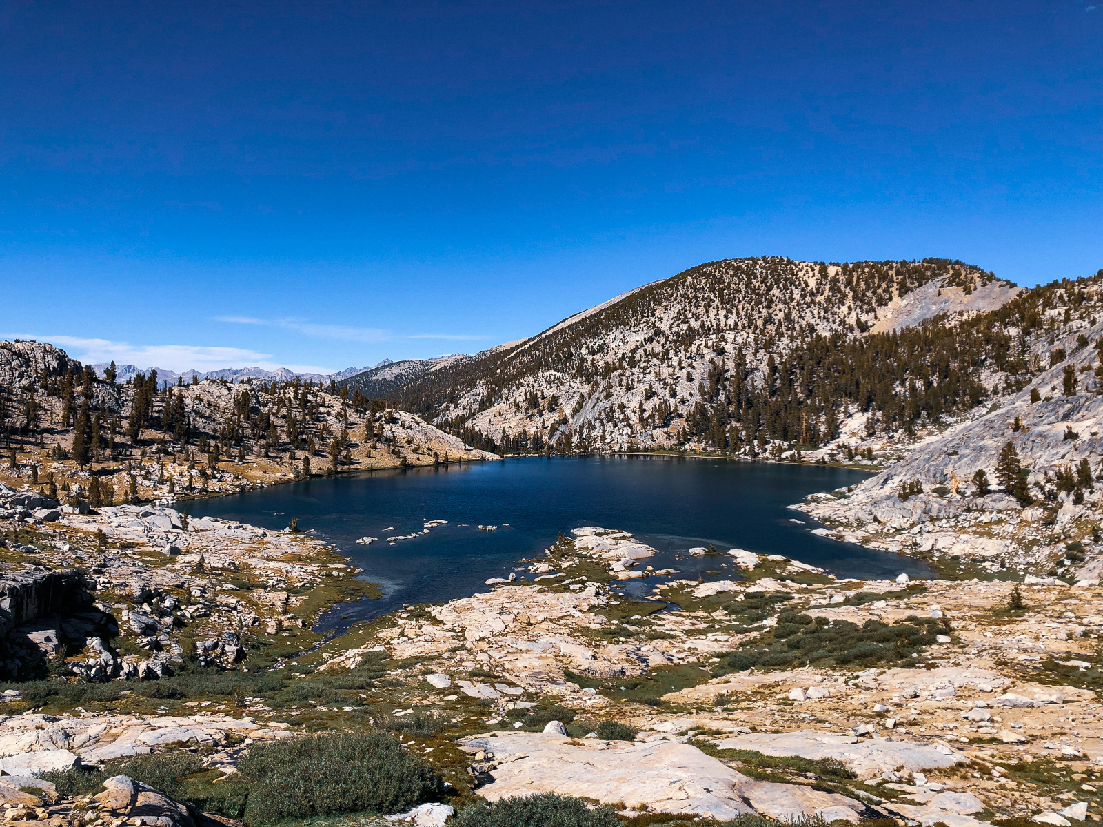
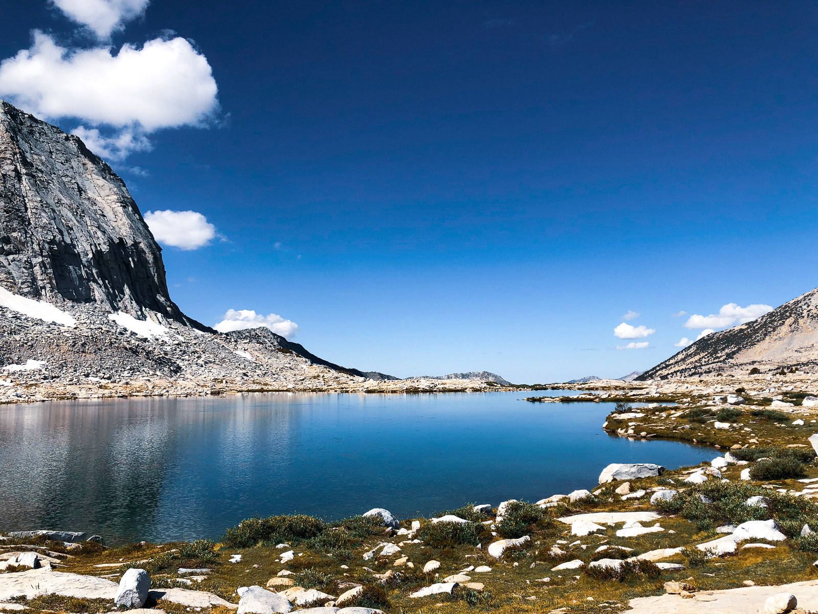
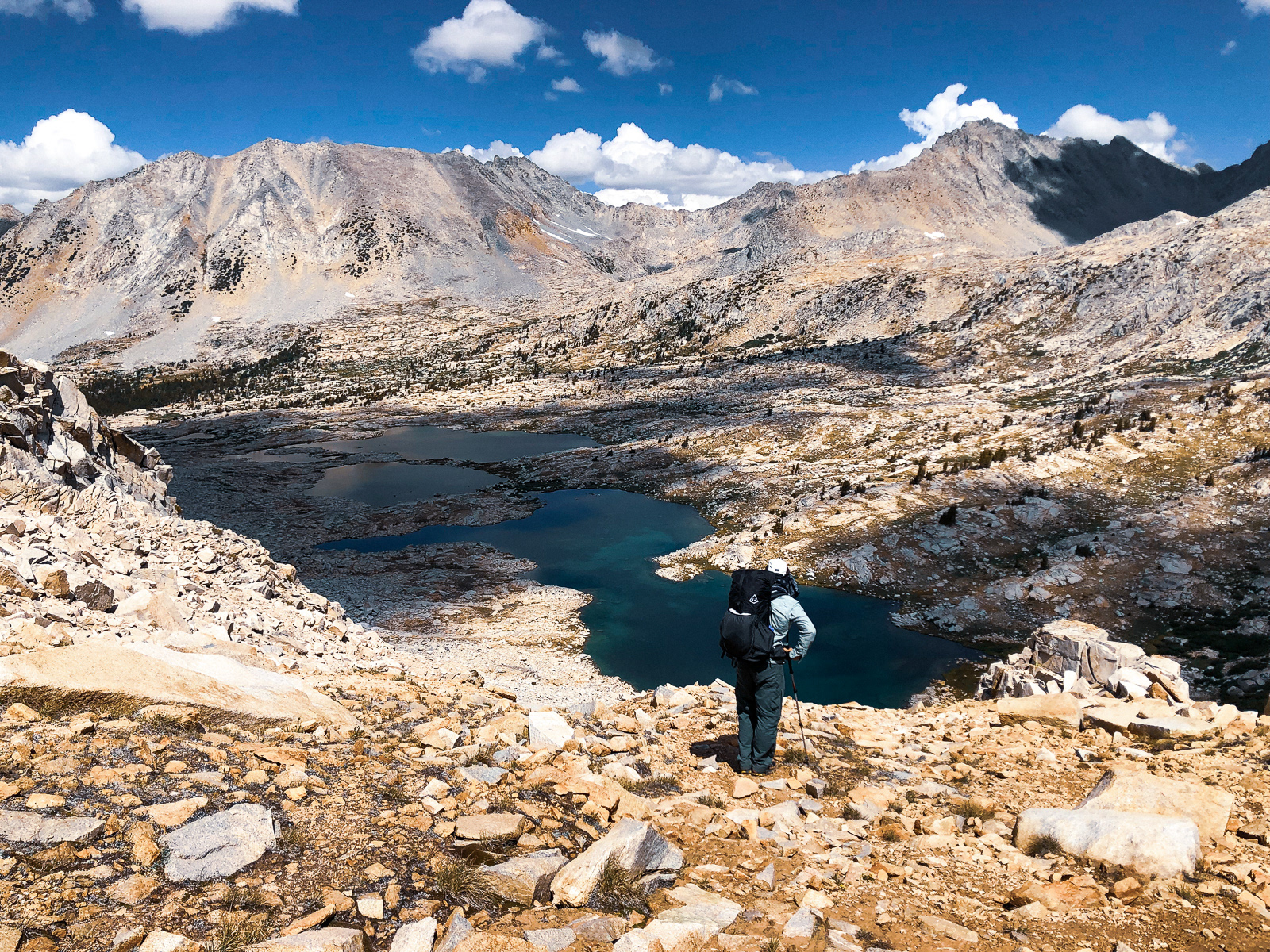
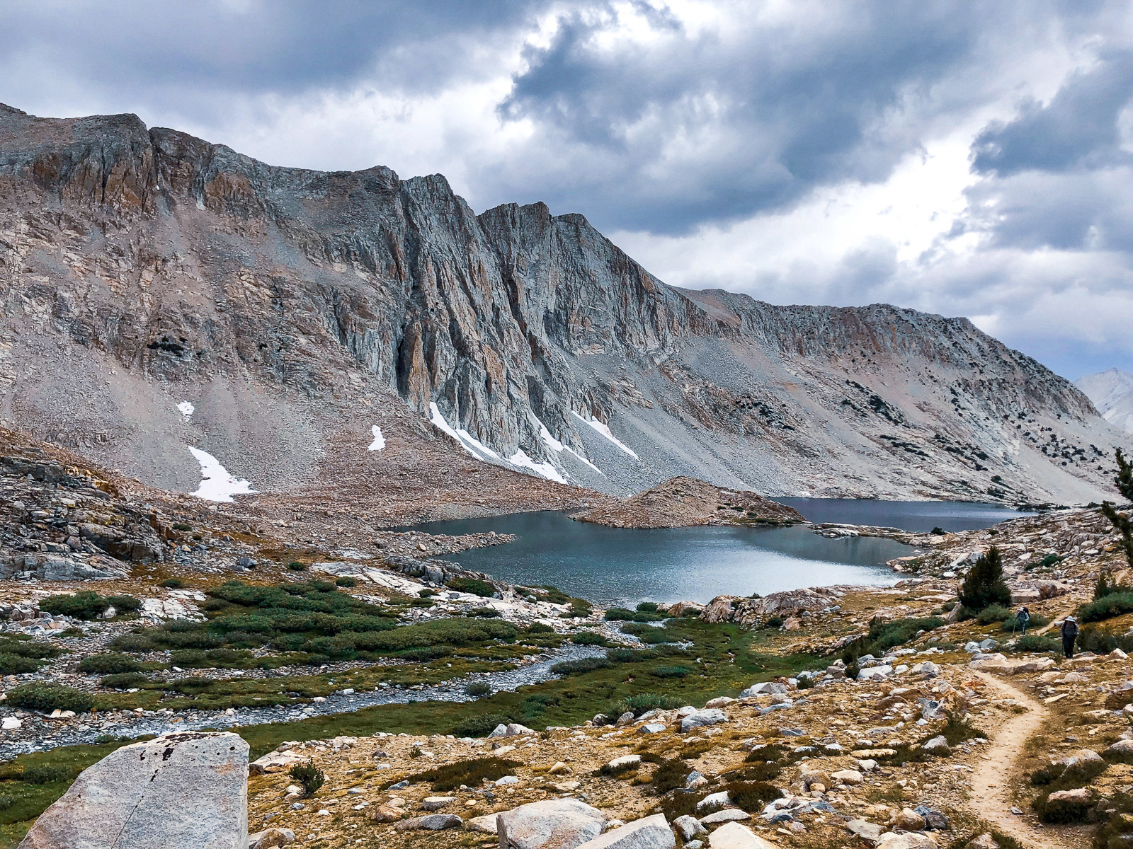
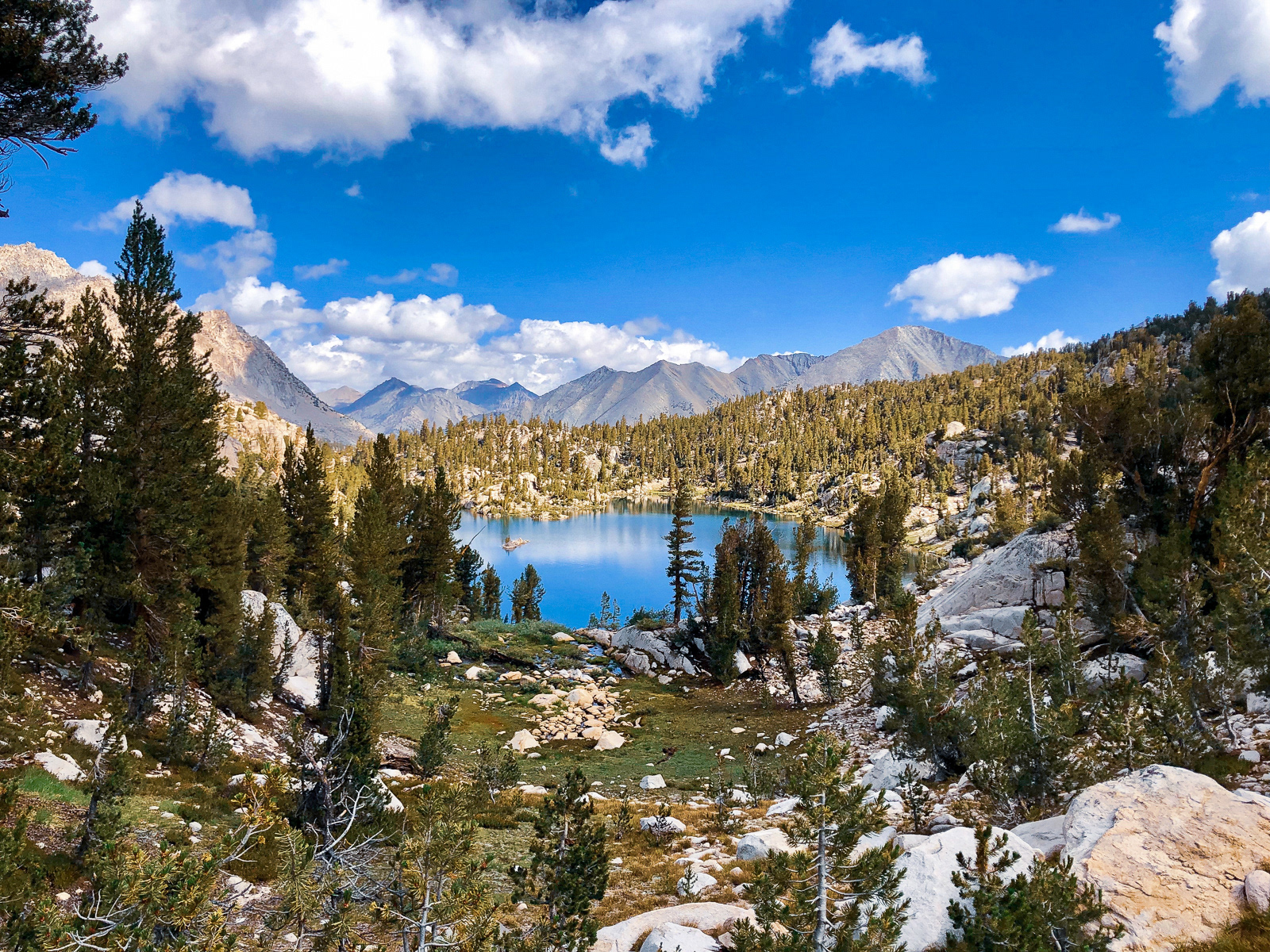
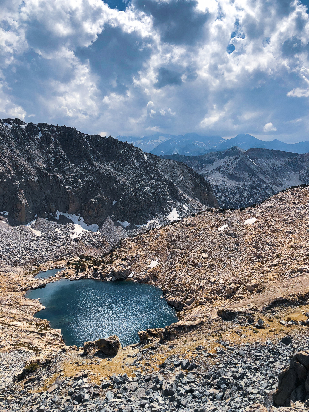
On the way to Gray Pass, we traversed above Lake 10,236 - just another boring, perfect alpine lake that no one goes to.
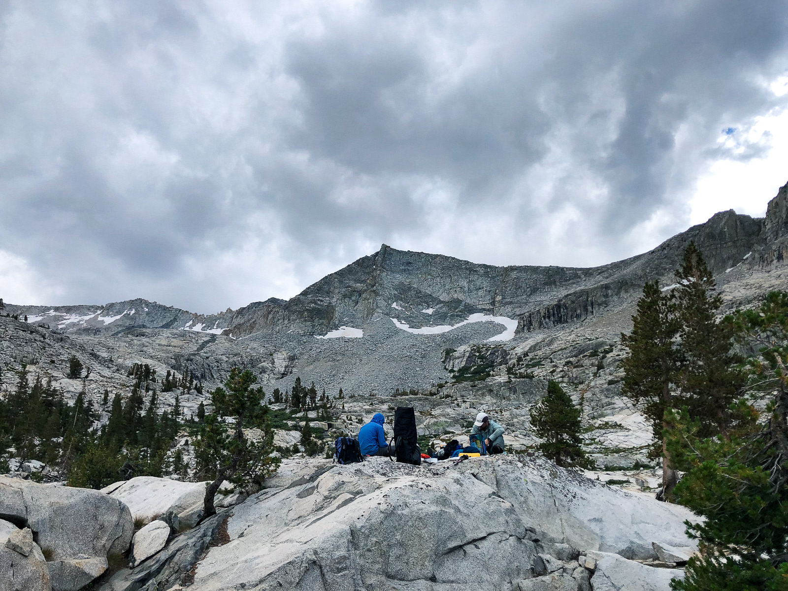
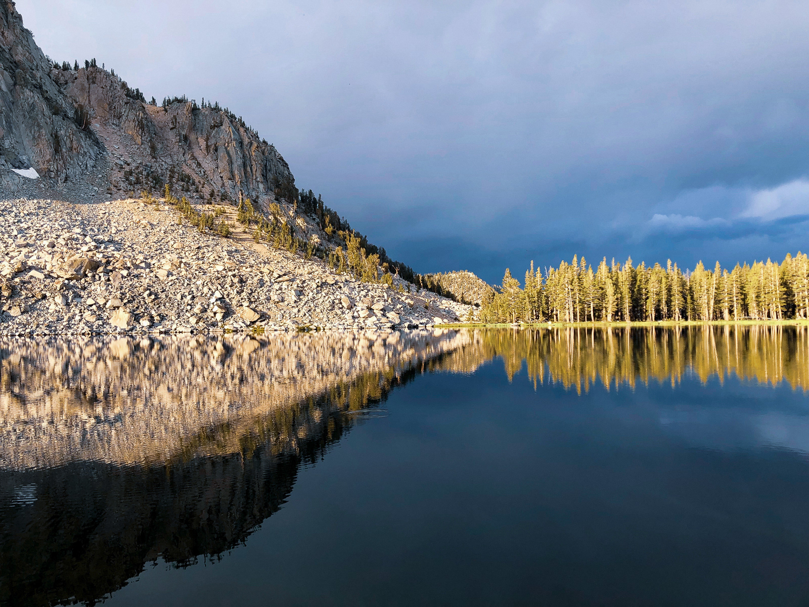
From Gray Pass, we descended steeply on use trails, slabs, and a bit of bushwacking to South Fork Cartridge Creek. The clouds were building and looking spookier, and we stopped for lunch to see what they might do.
As usual, our mountain weather was hard to read. It was raining to the north, but with intriguing bits of blue sky intermixed. It was very cloudy to the south. There were a few peals of distant thunder. We ate granola bars and ascribed pitiful human meaning to it all.
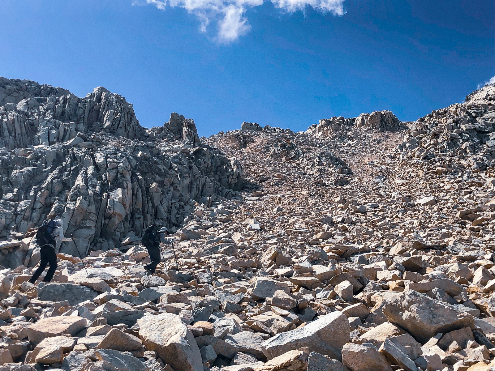
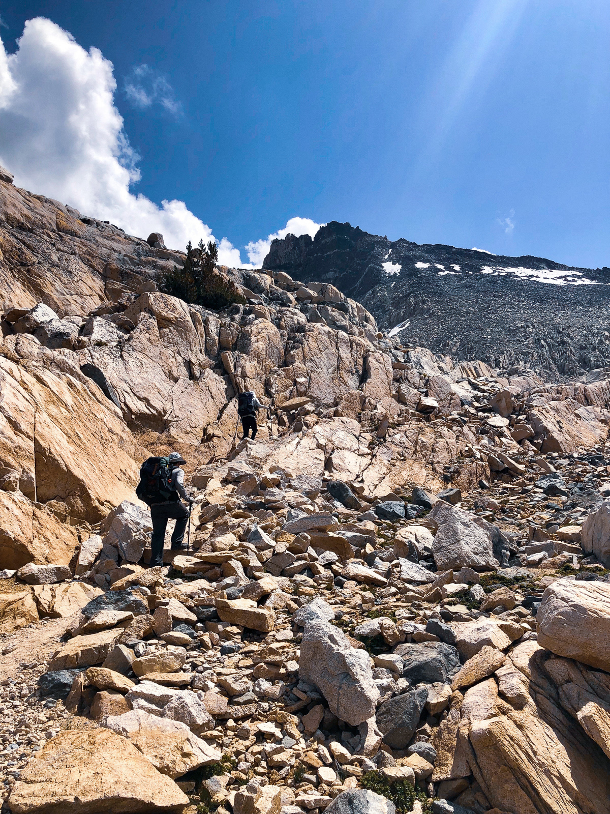
We decided to head for White Pass and take cover or descend if the weather deteriorated. The climb to the pass was unrelenting, up a never ending escalator of steep granite slabs.
We finally topped out at the pass (11,700 ft) a bit east of and higher than the low point.
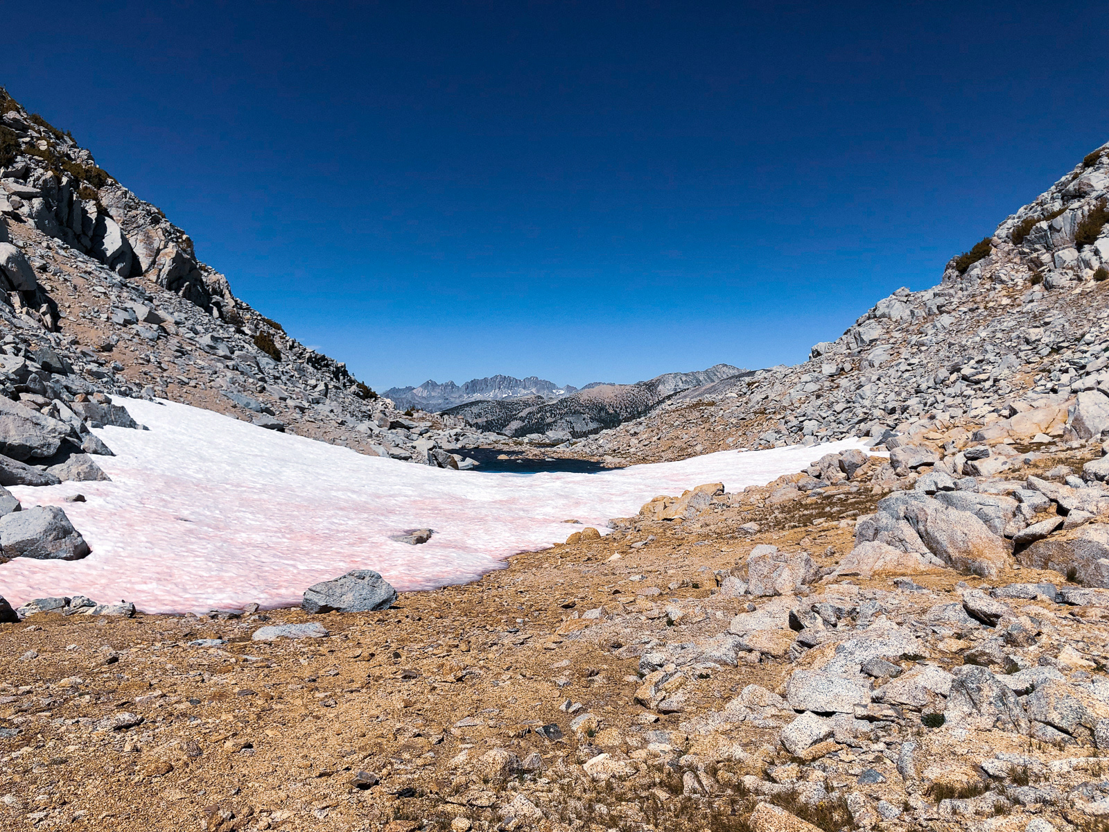
I will never understand how Red Pass got its name!
We ended up traversing between White and Red slightly higher than Roper recommends, though it didn't look any easier below. We were lead across undulating spines of sloppy, sharp-edged red slate until the final, mercifully brief ascent to the pass.
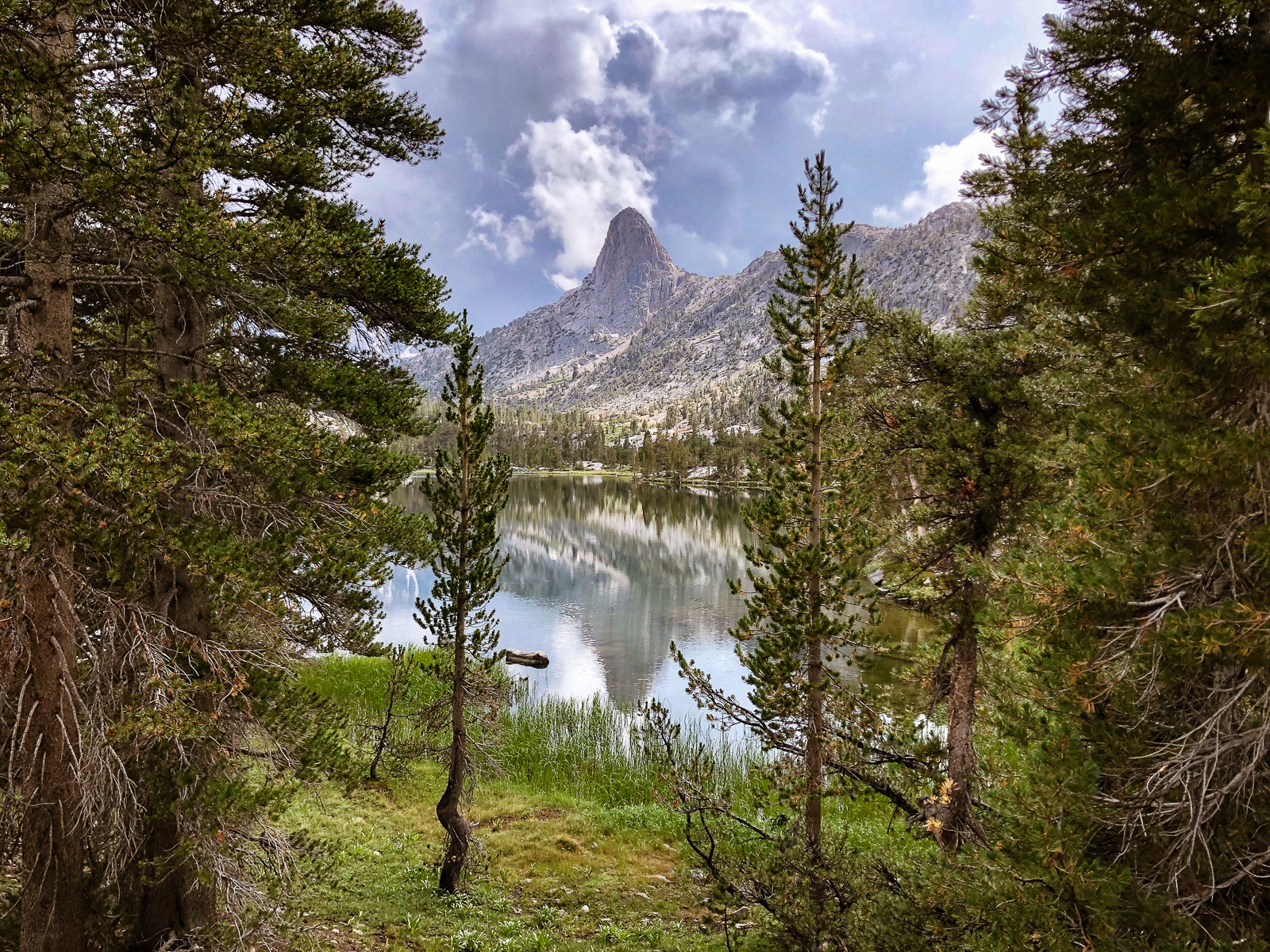
From the top, the red rock was a striking contrast to the more typical white granite of Lake Basin and beyond. A tiny corner of Marion Lake was visible. Surprisingly, the descent toward Marion was mostly on a good use trail, though the ground underfoot was a harsh jumble of sharp rock. One disrespectful rock managed to leap up and smack the inside of my left ankle, which ached off and on for weeks.
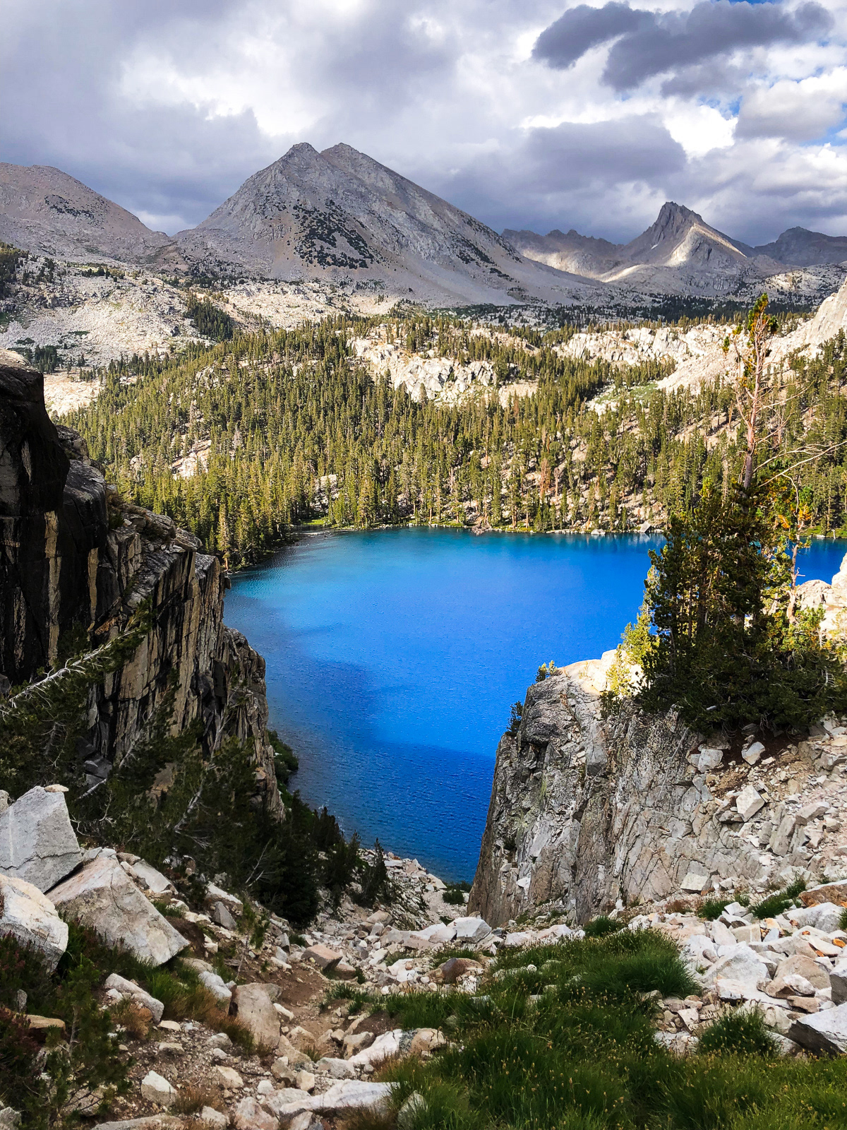
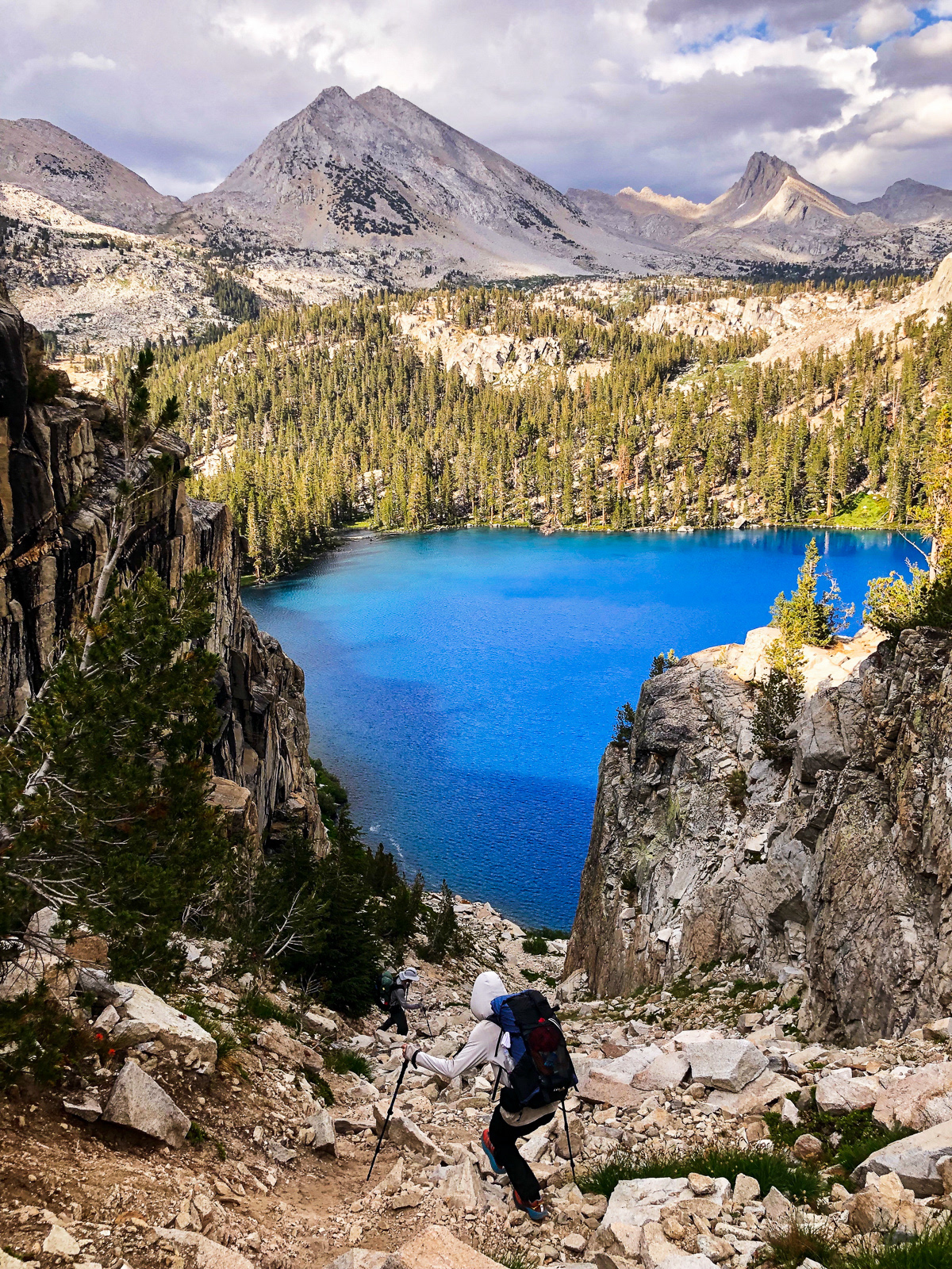
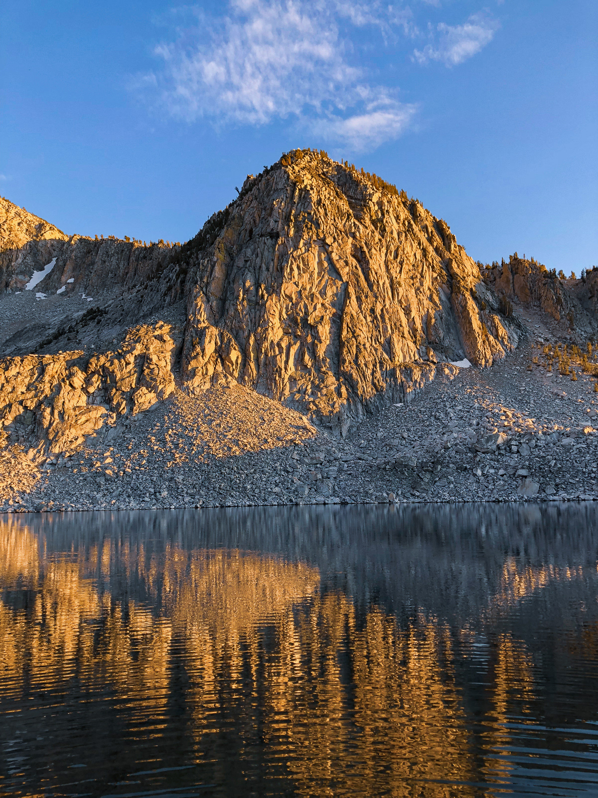
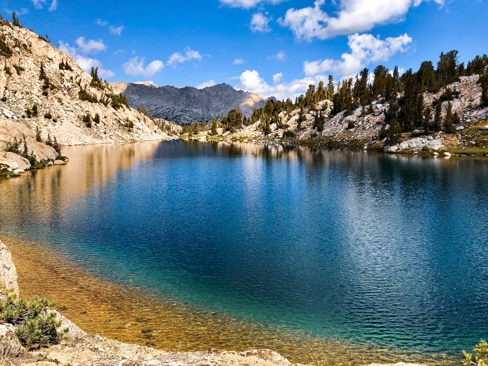
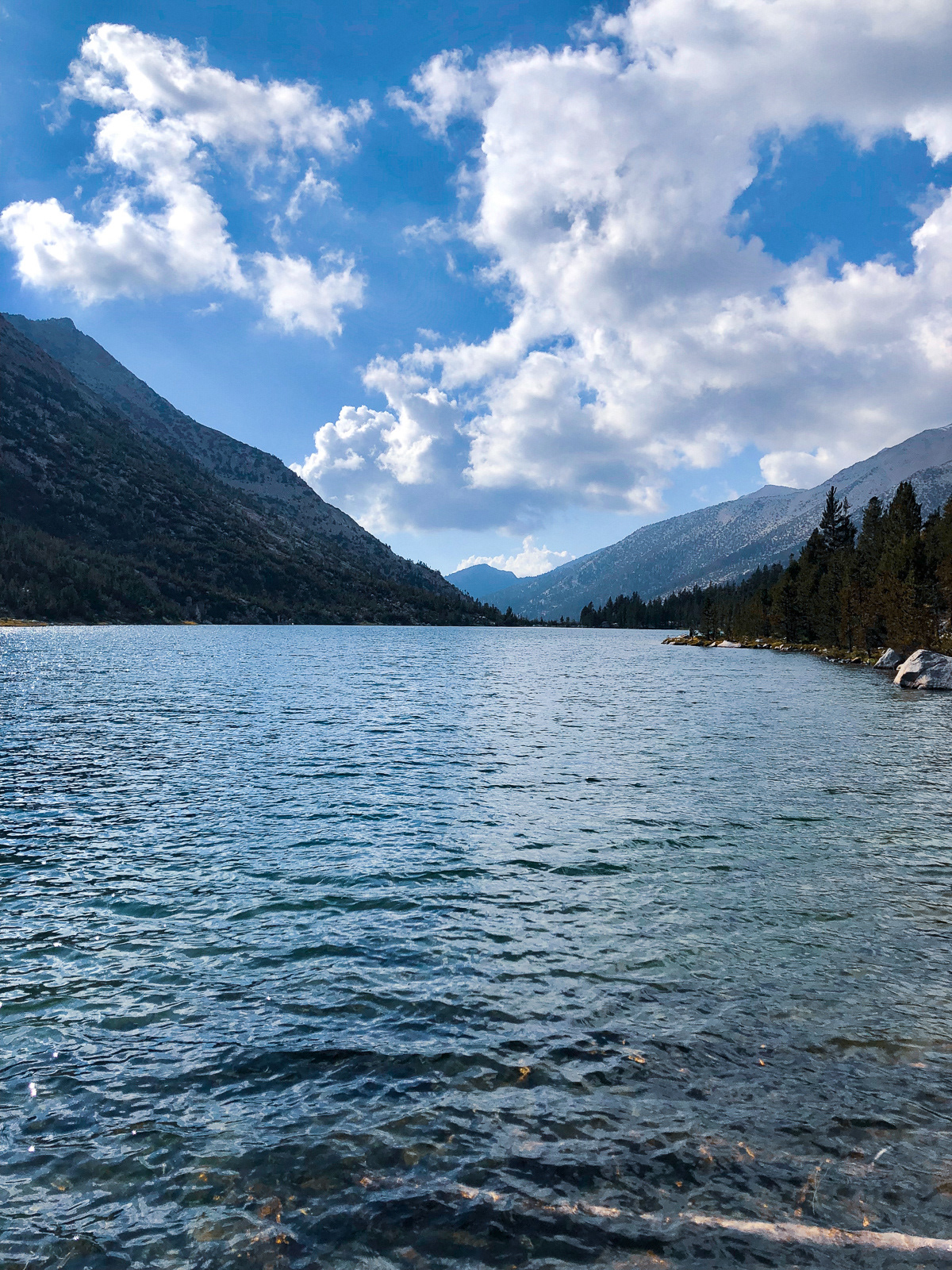
Marion Lake is the bluest lake in the Sierra Nevada -- I have no proof but it seems tough to argue. The final chute is the subject of some gnashing of teeth on the internet. Admittedly, it looks pretty rough from the top, but there's a clear, switchbacking use trail that weaves its way to lake level. While exceedingly steep and a bit loose, it was ultimately No Big Deal.
You should go to Marion Lake.
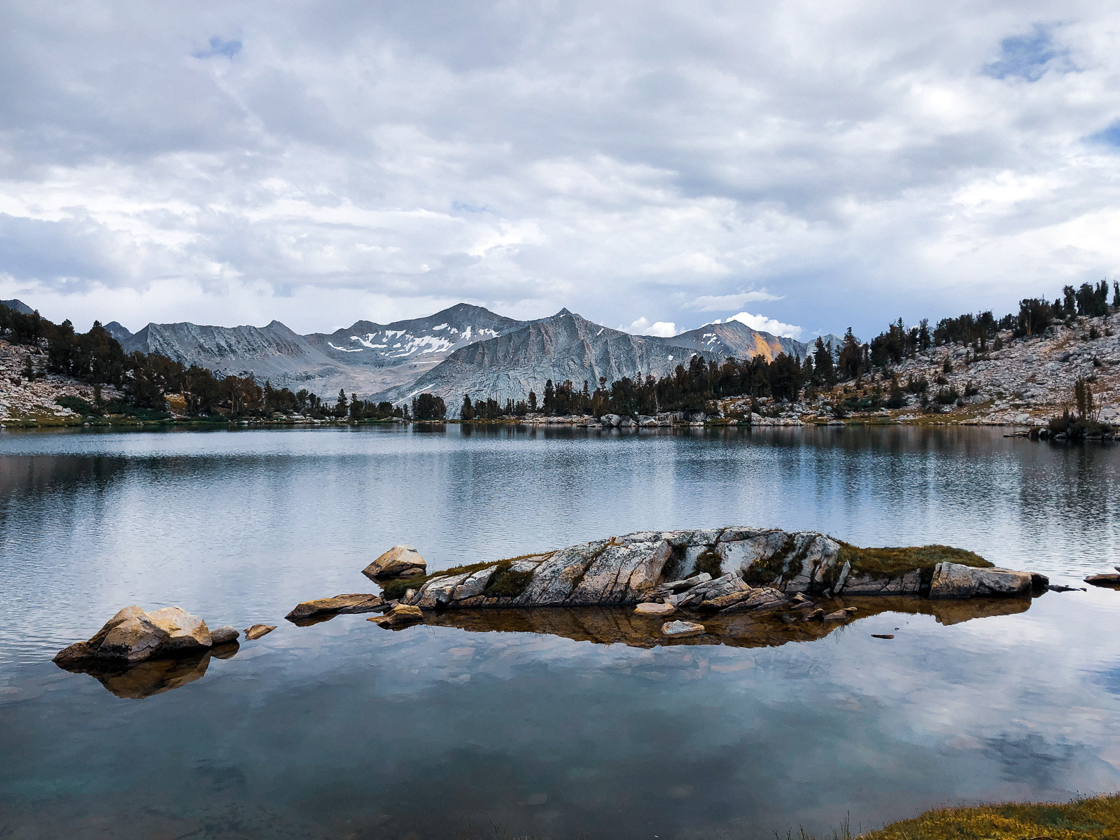
A bad sunset that I didn't enjoy.
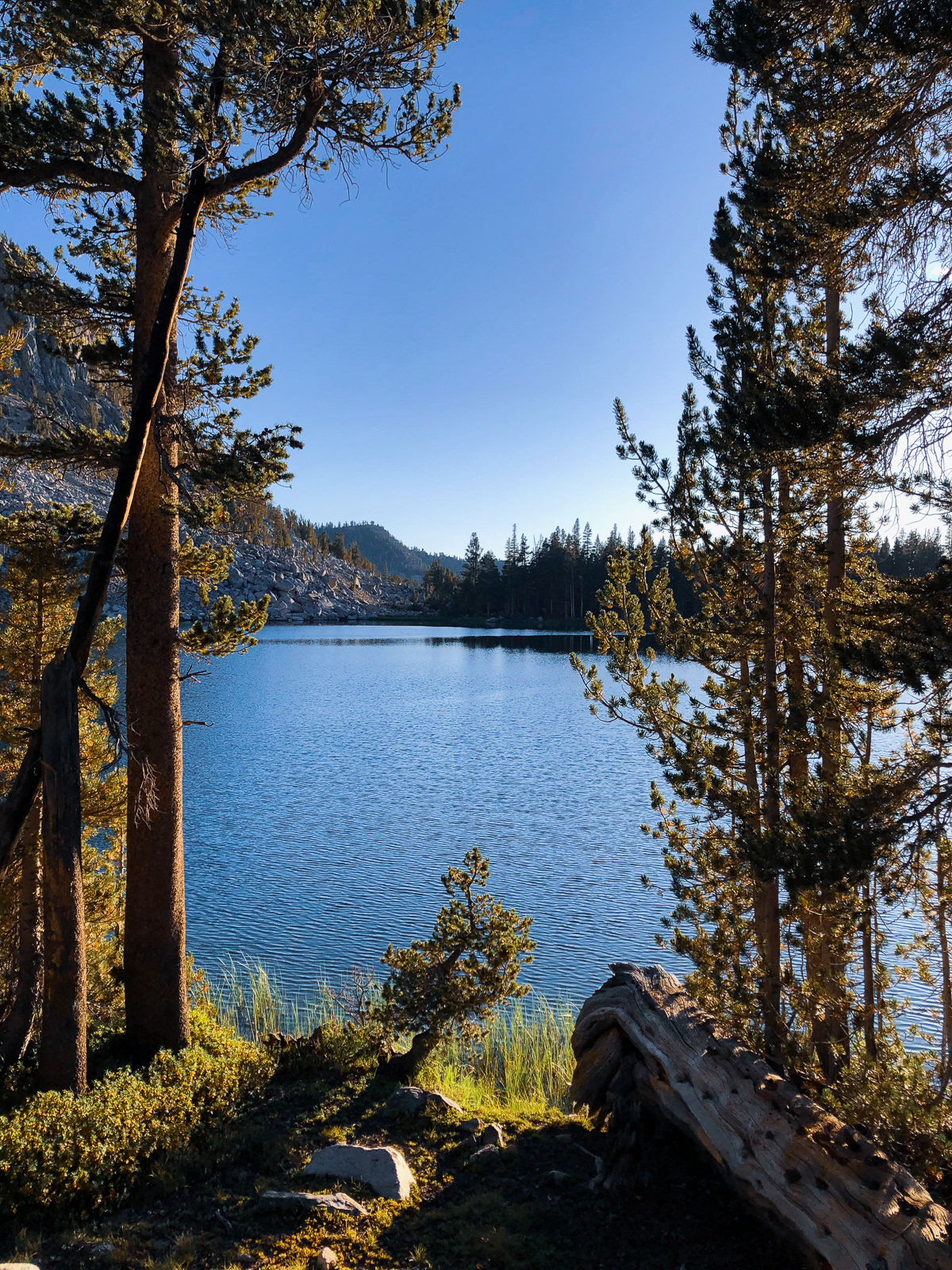
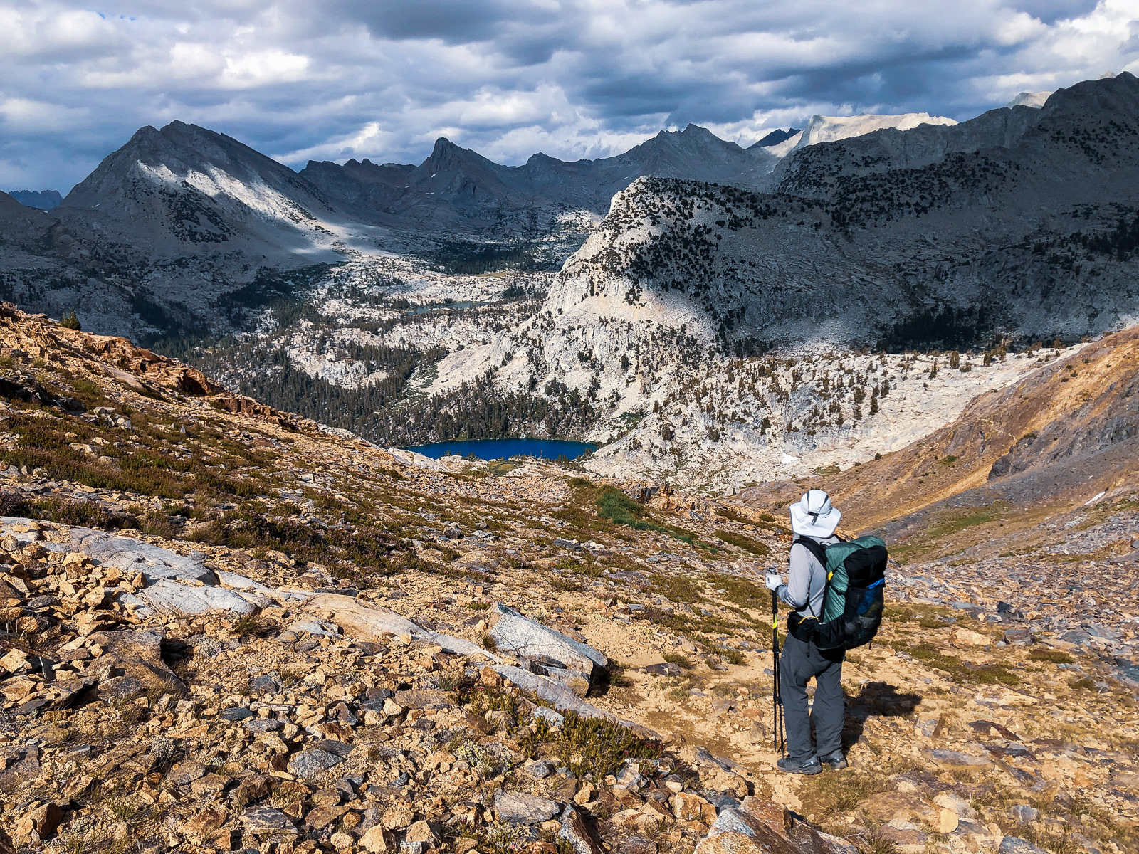
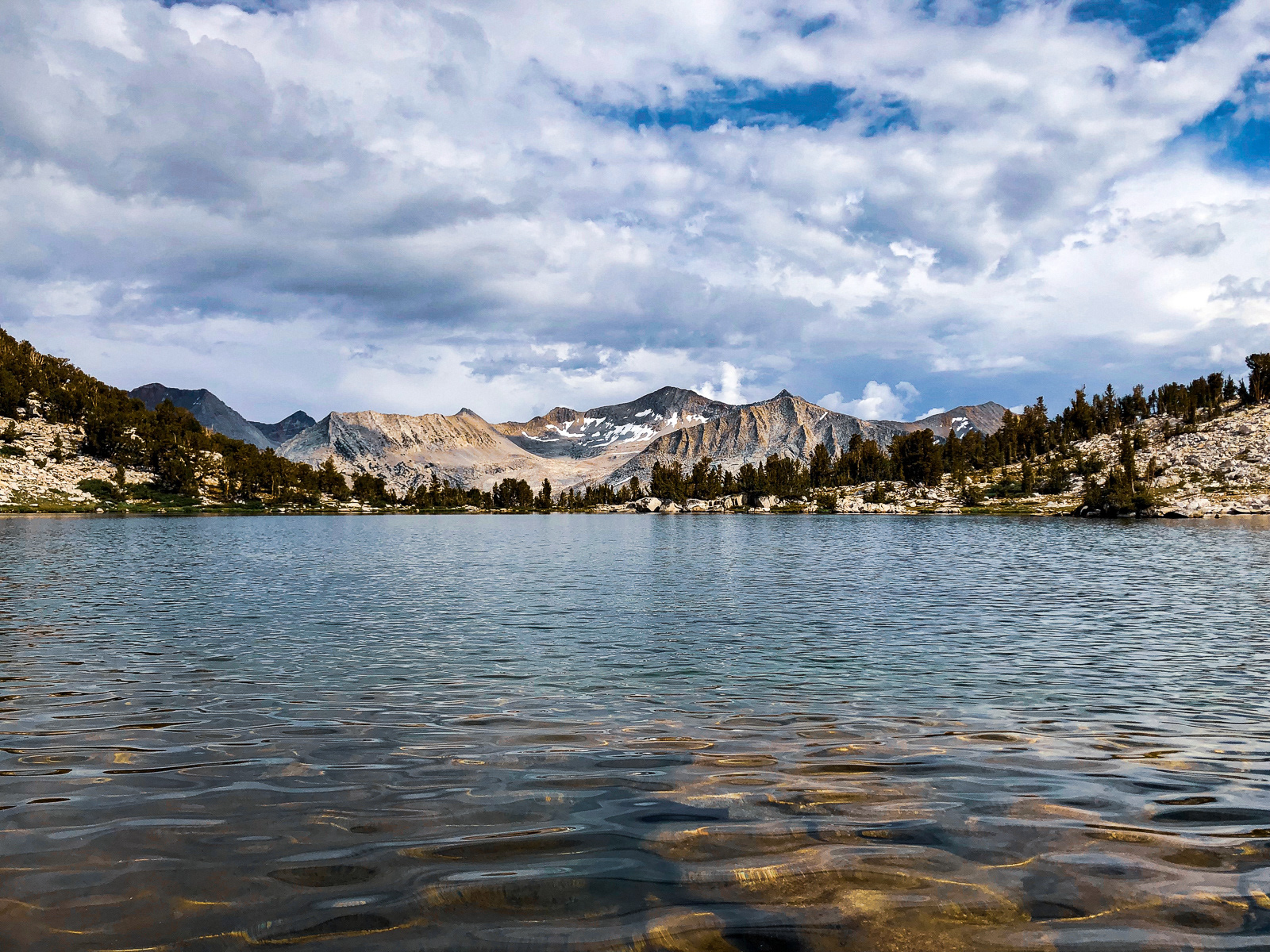
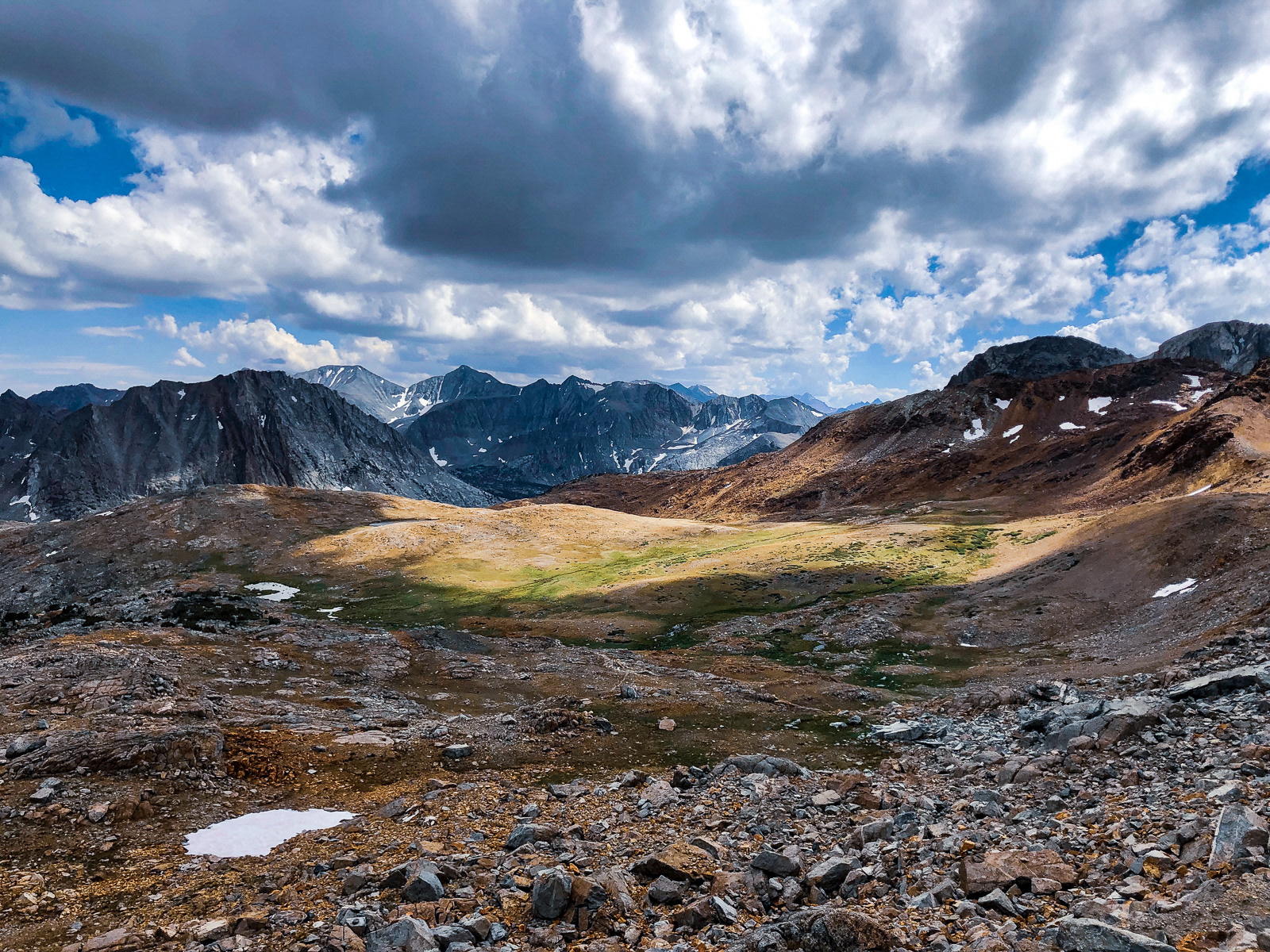
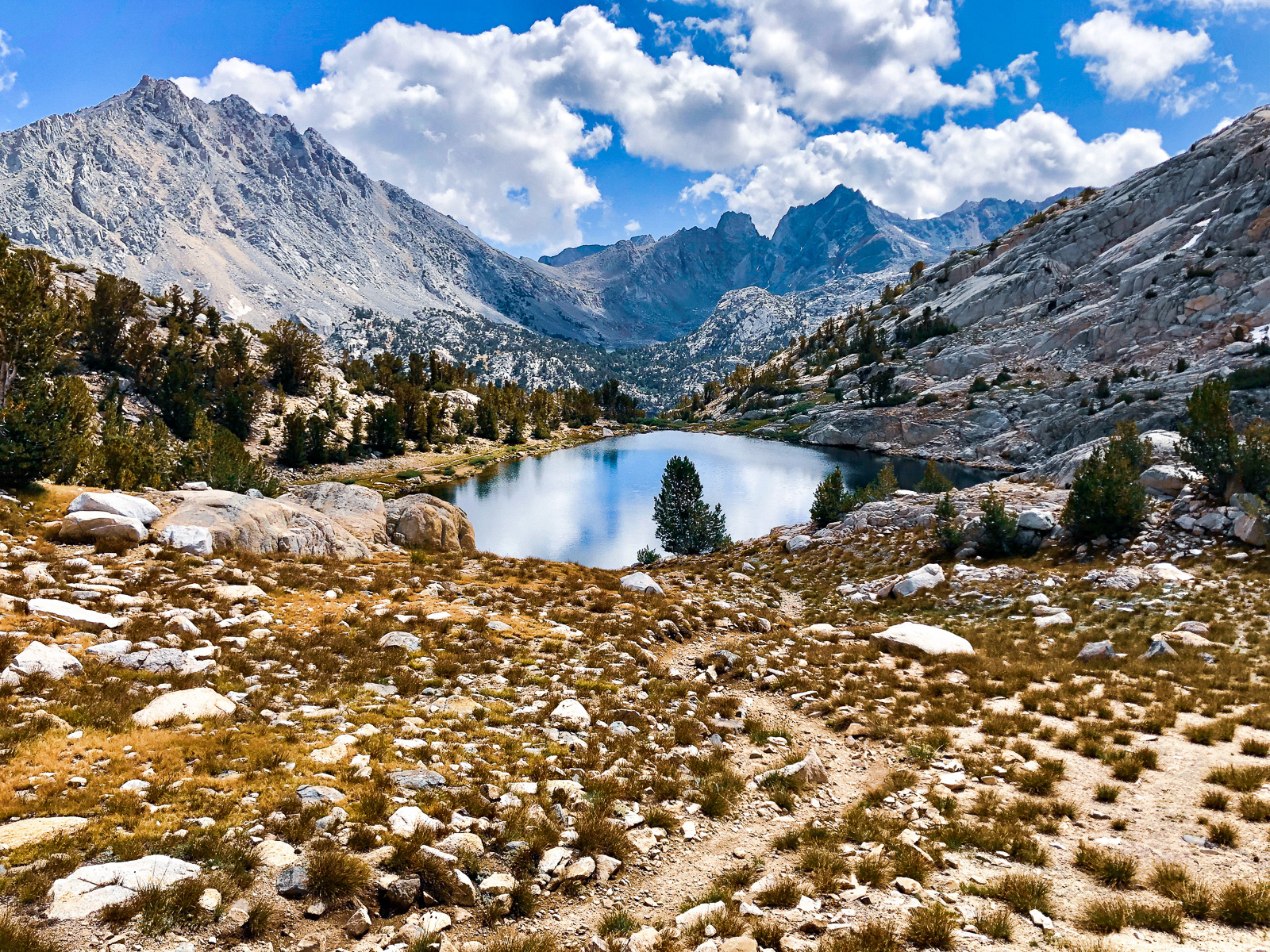
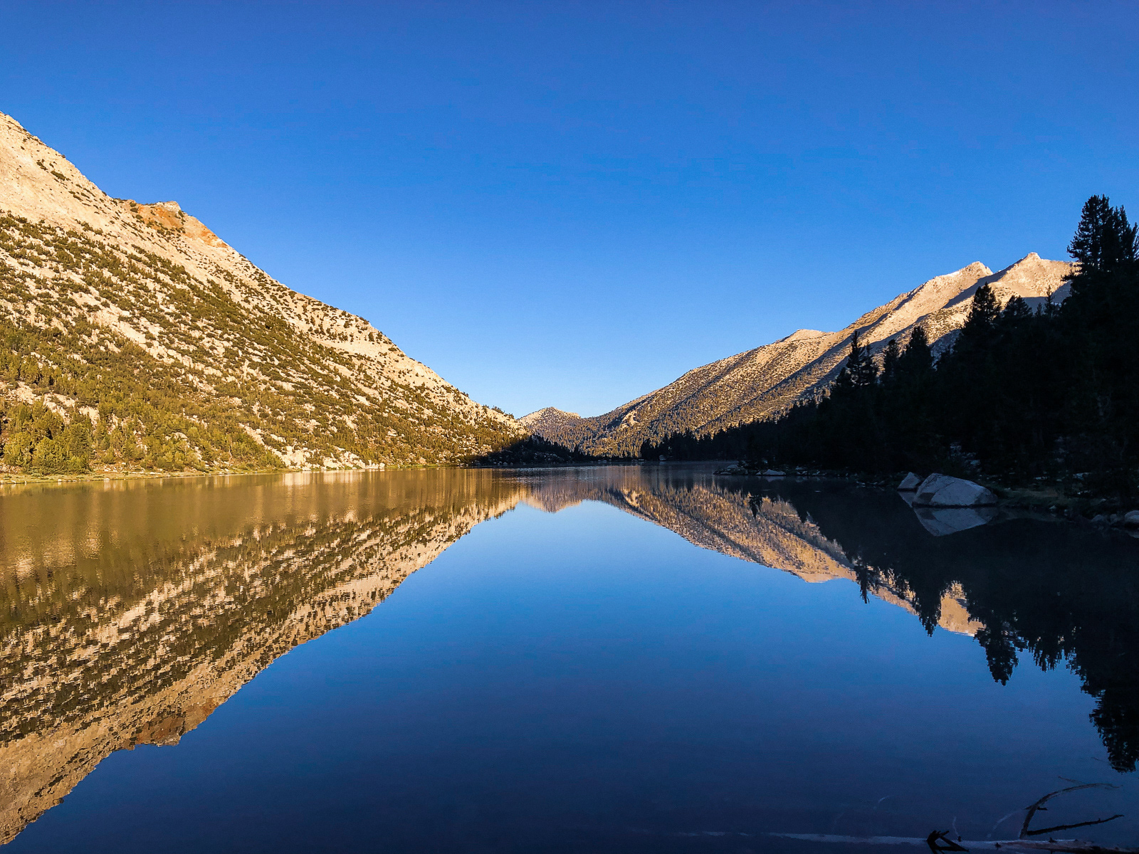
Marion Lake sits by itself at the western edge of Lake Basin. The next morning, we worked our way up the valley (again on a fairly professional use trail) into the basin proper. The trail popped us out at a lake farther north than we had expected, but you really can't go wrong in this basin.
The big spoiler is that Lake Basin is populated by many, many beautiful lakes.
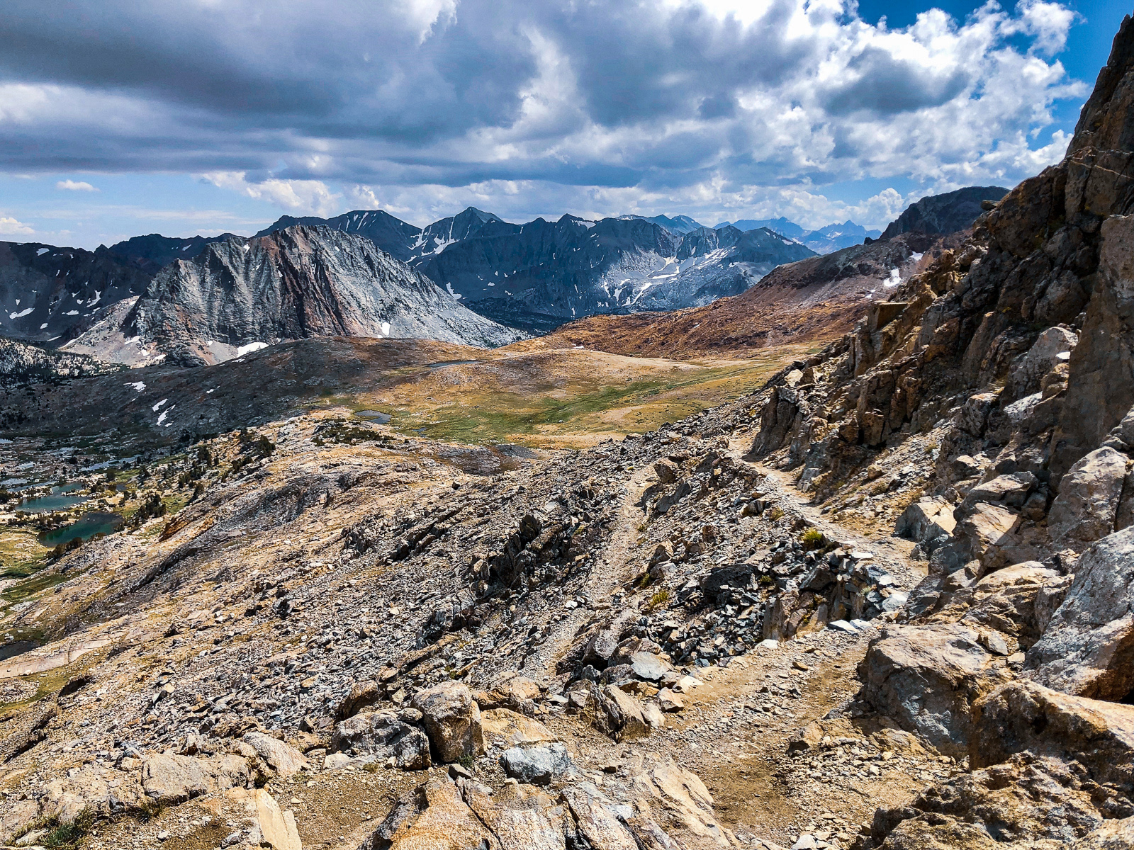
At the eastern end of the basin, we split off from the Sierra High Route, and cut south over Cartridge Pass. It looks like a sheer and impenetrable wall of angry rock from afar, and just slightly less so up close. In fact, Cartridge Pass was part of the official John Muir Trail in the early 20th century, but erosion and neglect have worked their magic in the intervening decades. The remaining trail is faint, the pitch steep, and the ascent may have been the most unforgiving of the trip.
The reward at the top of the pass is the view south to the perfect basin and unnamed lake below (hereafter known as Cartridge Lake). You can also make out a sliver of aptly named Bench Lake to the left and above Cartridge Lake.
We took a confused and circuitous path to the lake, and set up our tents as the sky finally opened up. It rained, hailed and thundered for an hour while I ate sunflower seeds. Weirdly, there are no existing tent sites around this lake (that I've found, at least), but we managed to camp in the exact spot that I had two years prior.
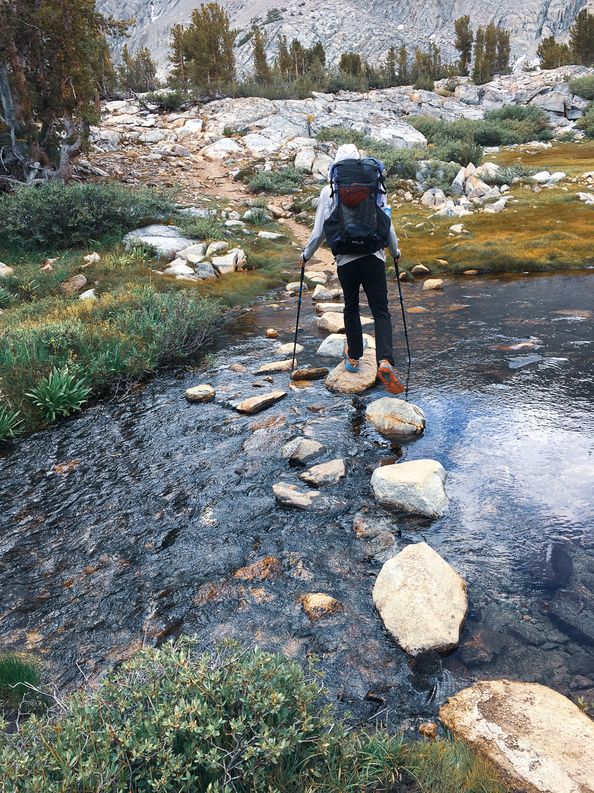
The rain let up and we went down to the lake. It was still quite cold, but we had to wash the three days of accumulated Sierra dust off of our feet. The sun poked briefly through the clouds, so we took quick dips in the lake. Somehow this turned out to be our only swim of the trip.

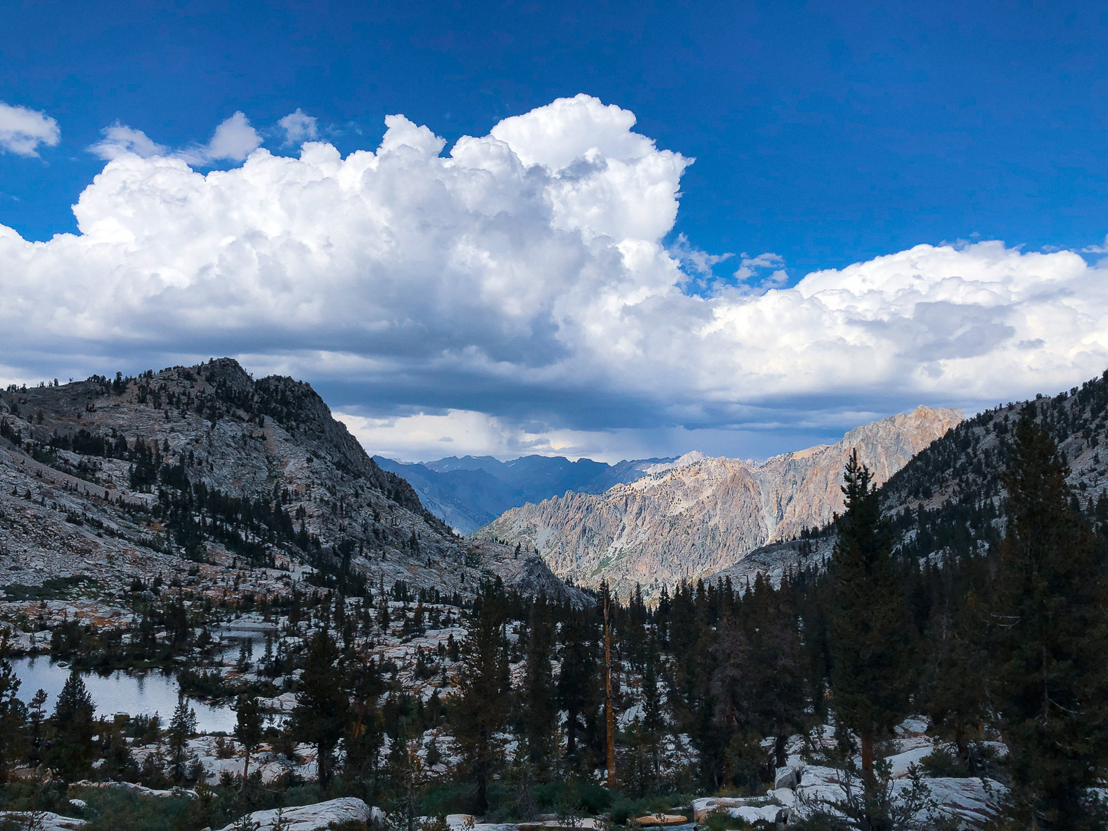
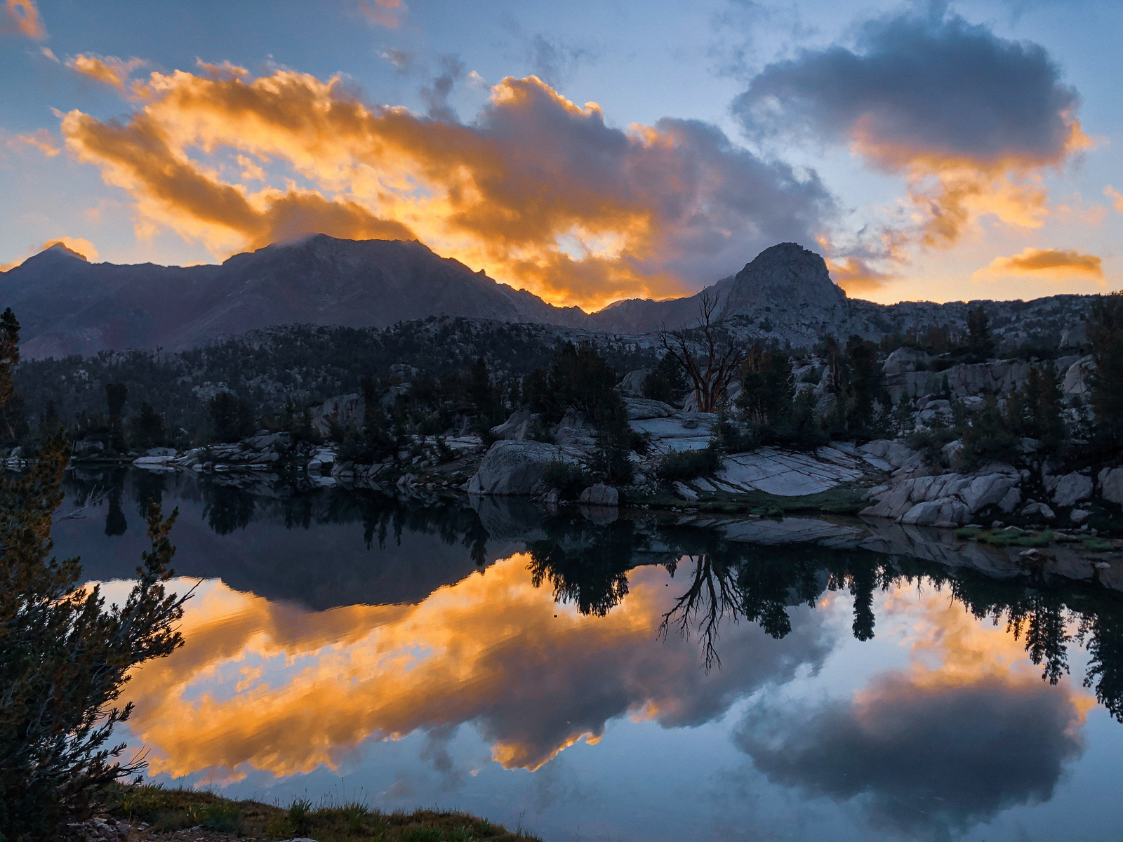
Thunderstorms are creepy but make for good sunsets.
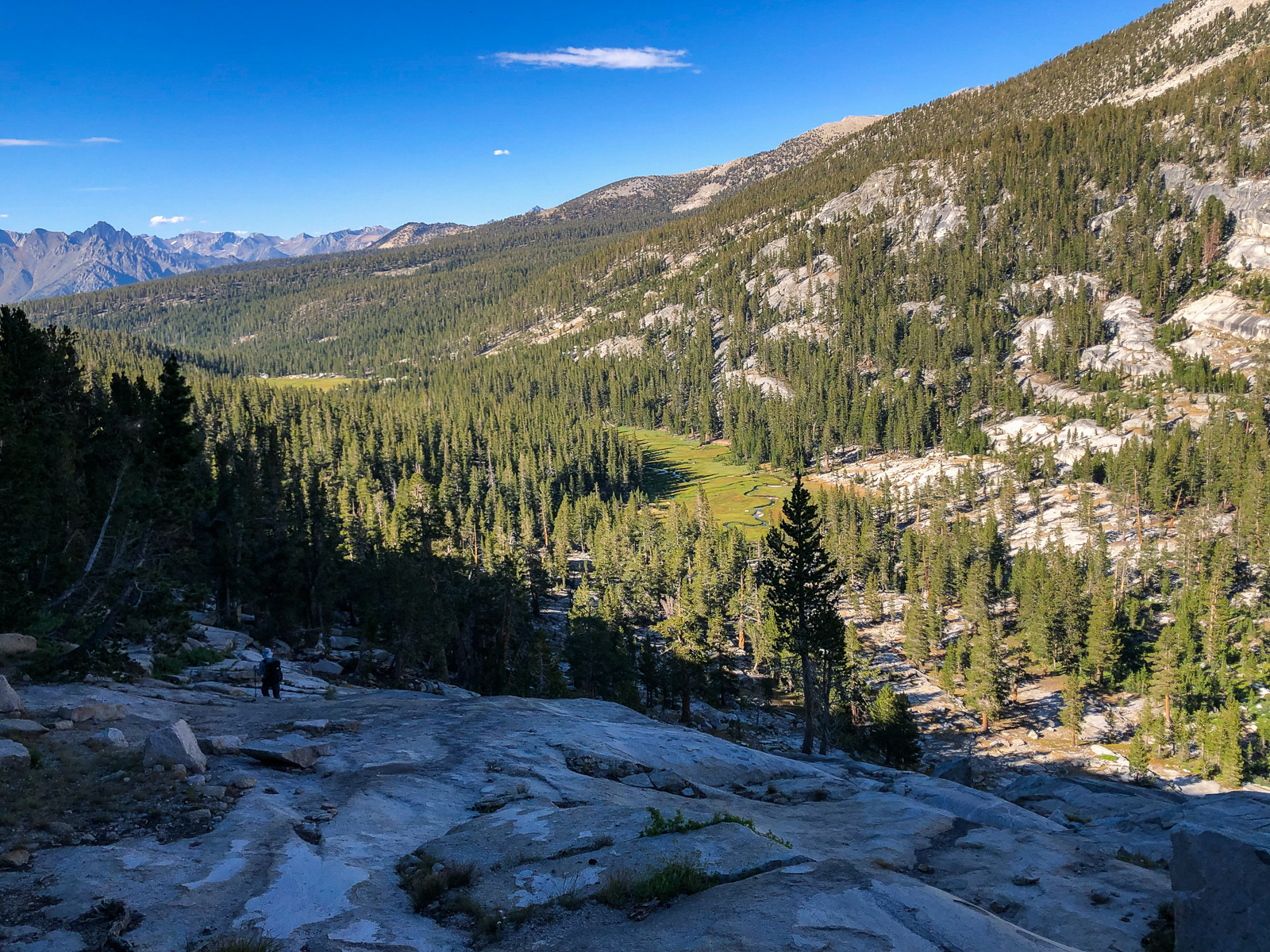
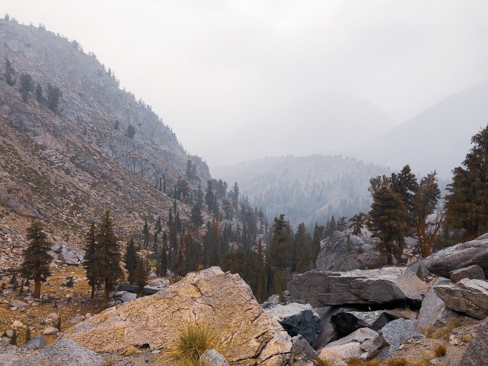
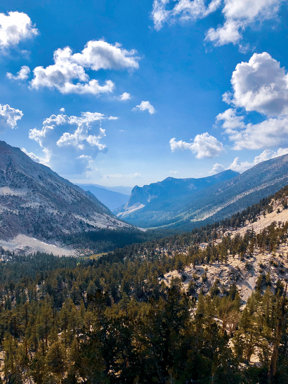
The next morning, we stumbled down the old, sandy JMT trail as it plunged to the South Fork Kings River: 1500 feet in less than a mile. From there we skirted some talus fields to the perfect ribbon of the (modern) John Muir Trail. It began to drizzle on and off as we cut south towards Pinchot Pass.
It was raining harder as we neared the pass (out of view to the left). We had a decision to make. On one hand, taking cover next to a boulder while it drizzled on and off for three hours sounded dumb...
...On the other, this was the dark stuff pouring over the pass.
Ultimately, we decided to go for it. We hadn't heard thunder in a while and were close enough that it took under 15 minutes to charge up to the top.
On the south side, we were greeted by this.
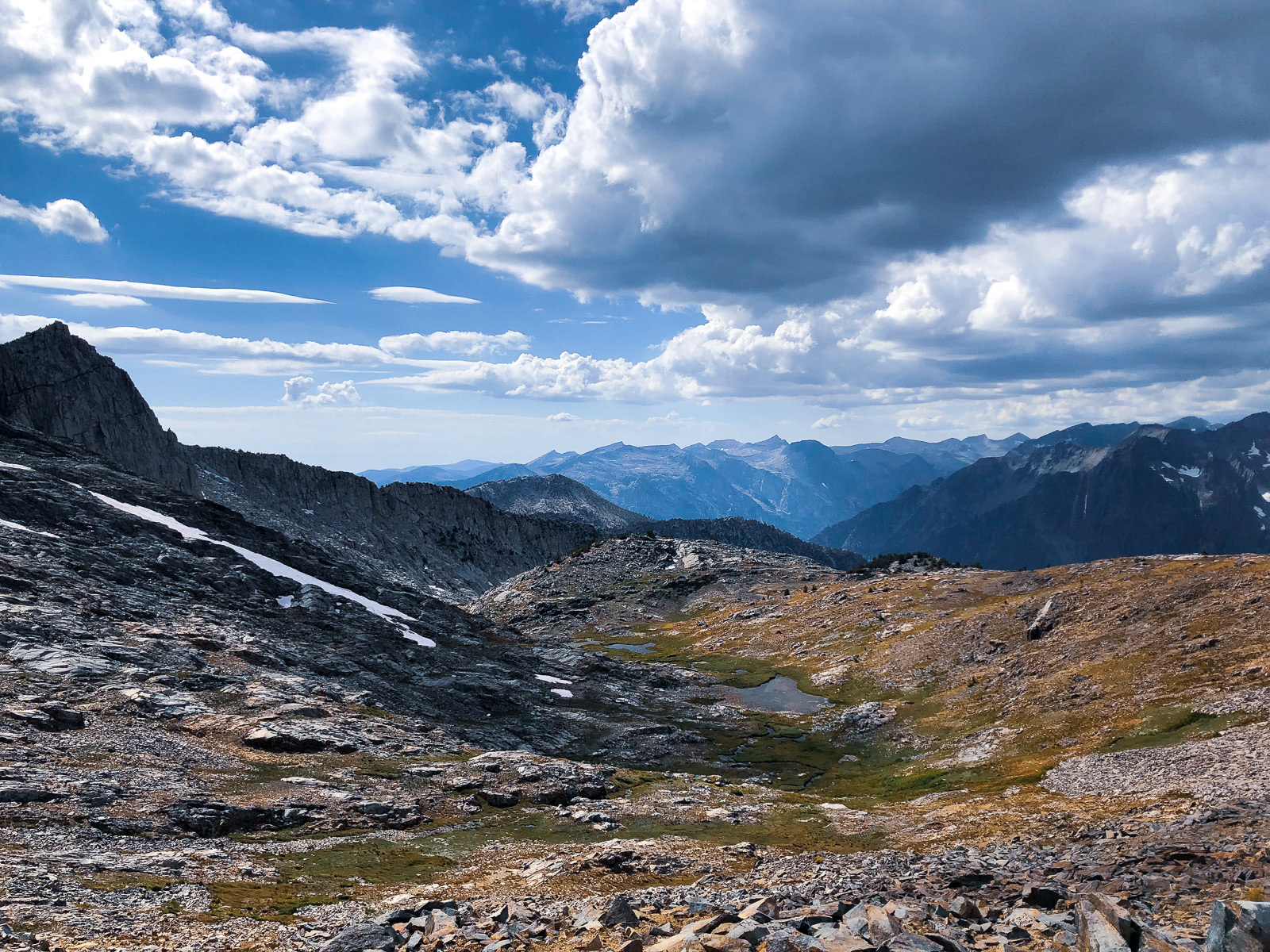
The clouds parted and we found ourselves walking through yet another Sierra wonderland.
Our goal for the night was Woods Lake, but the weather had delayed us. We stopped at Twin Lakes, nestled beneath hulking Mount Cedric Wright. Unfortunately, the entire area was absolutely carpeted in horse poop. New poop, old poop, middle aged poop, it was everywhere -- including five feet from shoreline. I triple treated my water. This was without question my least favorite campsite in the Sierra. You've been warned!
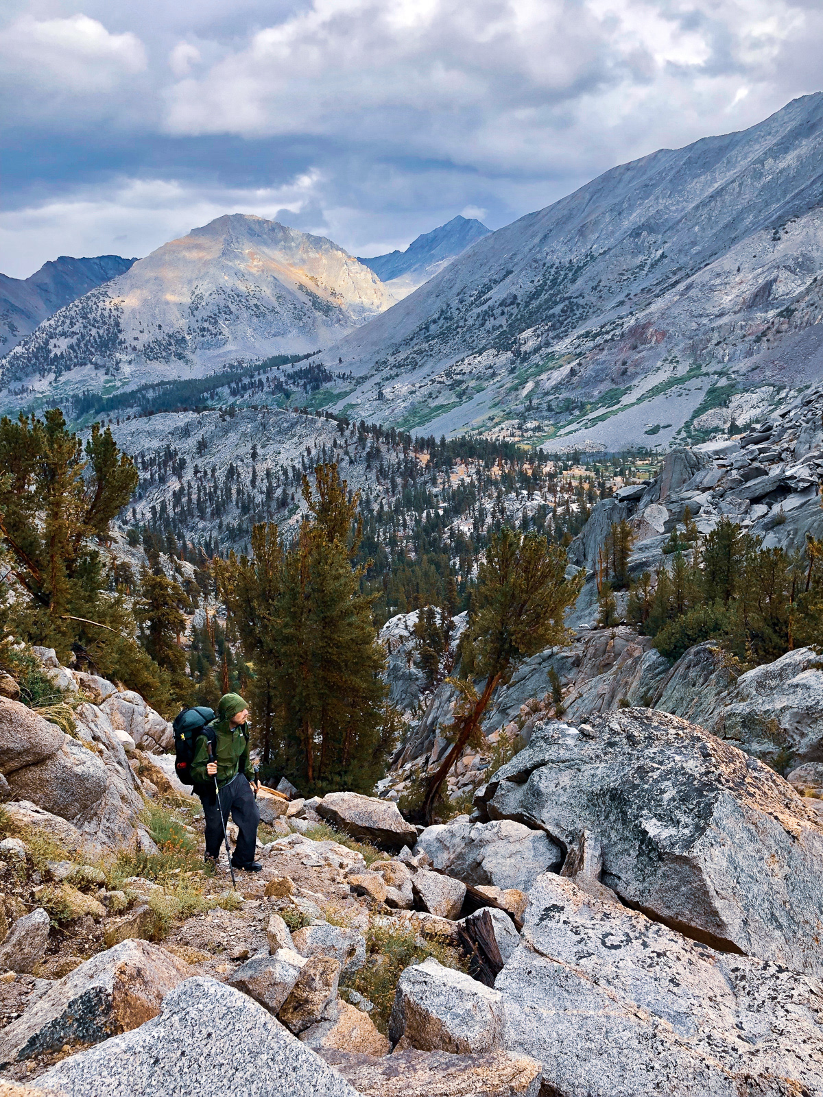
We woke up to more clouds. It rained on us as we descended Woods Creek, and again as we ascended towards Arrowhead Lake. The clouds were moody little babies all day.
At Arrowhead Lake we veered off trail again, headed for 60 Lakes Basin via Basin Notch. We waited out more rain under a tree, but soon the sun returned and we resumed clambering up large boulders (which was avoidable: our line veered too far south). But the sun quickly disappeared and rain returned, harder this time, followed by a close peal of thunder.
We took cover in a makeshift "talus cave" a few hundred vertical feet beneath the pass. Was this the best place to ride out a thunderstorm? Reader, it was not. A few too-close zings of lightning and thunder came and went. The mountains across from us disappeared under clouds and weather. We waited in our cave.
Eventually, the clouds eased and it became clear that we hadn't died. We finished the climb up Basin Notch, which is a cute mini-pass (again with a clearly defined use trail). Light rain came and went as we fumbled our way west and then south through 60 Lakes Basin, eventually meeting up with the single trail that runs through it.
We found a lovely campsite and had just enough time to set up and eat dinner before the sky opened up and poured on us for an hour or two. We were wet, tired and ready for bed.
The morning was... a lot nicer.
We had a short day planned, so we dawdled around the southern end of 60 Lakes Basin.
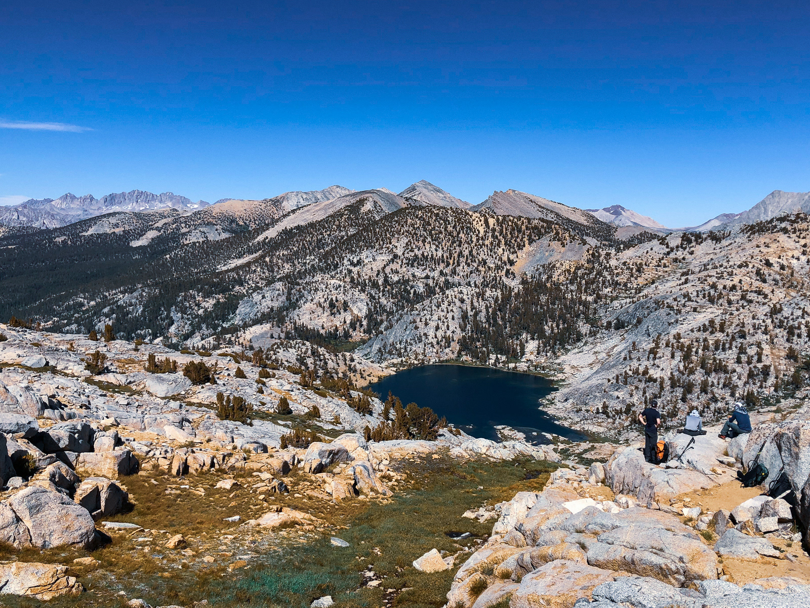
We stopped for a brief lunch at Rae Lakes. It may be overcrowded -- we probably saw 20-30 people within an hour -- but it's not the ugliest place either.
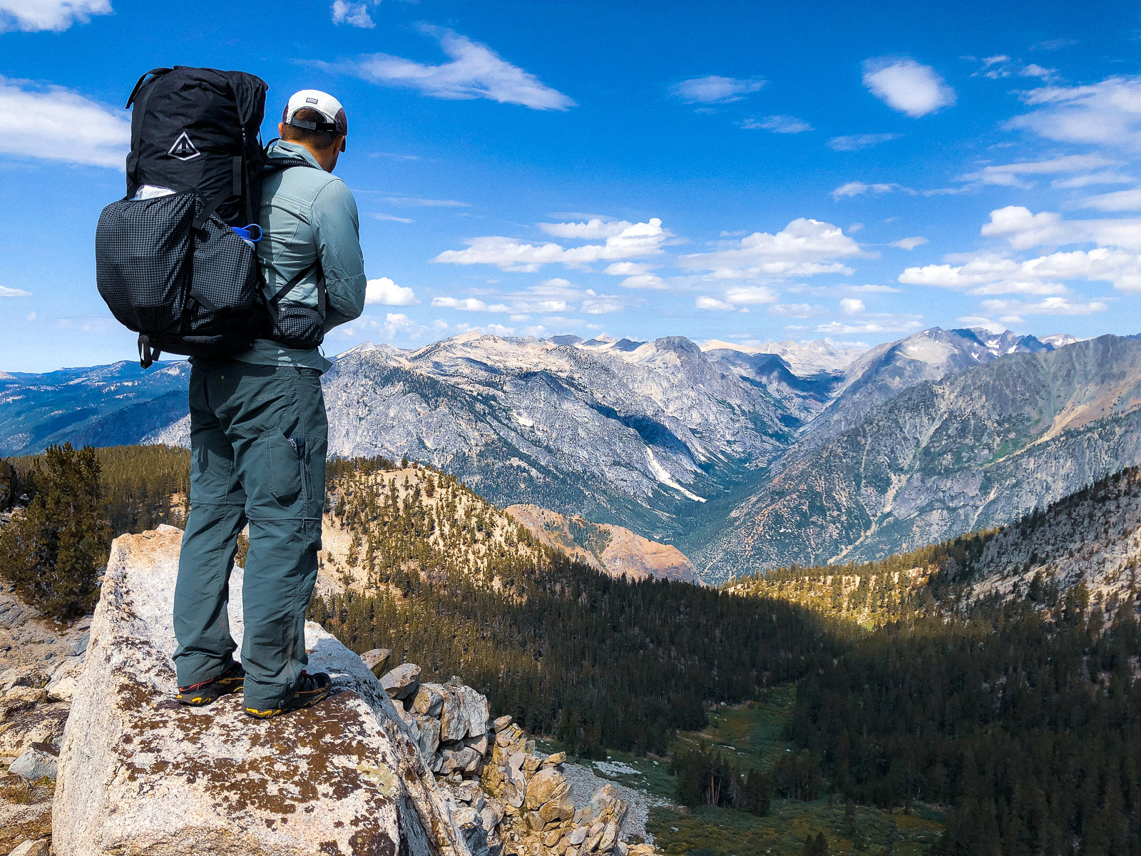
The climb up Glen Pass (left) was rough terrain but quite fun. The epic view south (right) was OK too.
It was a few short miles to Charlotte Lake for our final night. It's a beautiful lake, but crowded with tents and a bit of let down after an amazing, solitary trip like this.
The next morning was the inevitable Mediocre Last Day: 16 miles and 6000 feet of descent.
For those keeping score:
Roads End > Copper Creek > Sierra High Route >
Lake Basin > Cartridge Pass > Pinchot Pass >
Basin Notch > 60 Lakes Basin > Glen Pass >
Bubbs Creek > Roads End