August 10 - 13, 2023
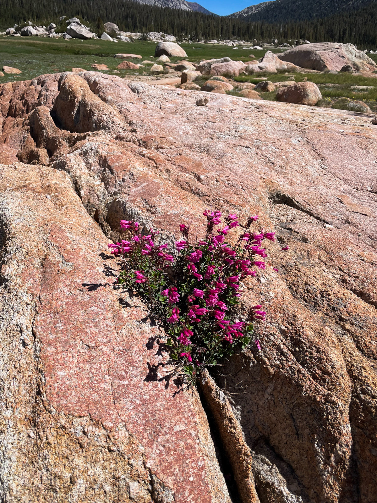
The record-setting winter of 2023 scrambled the average tempo of a Sierra summer. The simple version is that all the snow pushed mountain life back by about a month, so that for this mid-August trip we were dealing with July-ish conditions: clouds of mosquitos, many wet foot stream crossings, and some lingering, snowy walking below 10,000 feet. The upside of all this water was that Northern Yosemite was as vibrant and green as you will ever see, even here in late summer.
Another surprise was that I finally had the opportunity to hit the big red button on my Garmin InReach! Spoiler alert: it was not my emergency – thankfully. But I was glad to be able to help, and it was fascinating to see from the sidelines how a backcountry SAR operation works.
This was intended to be a somewhat improvisatory trip, but it turned into free jazz thanks to weather, injuries, helicopters and our own whims.
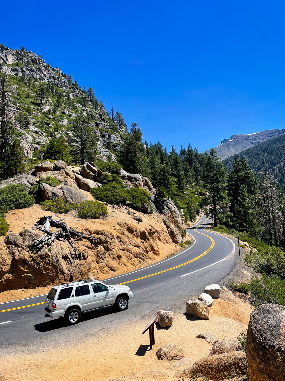
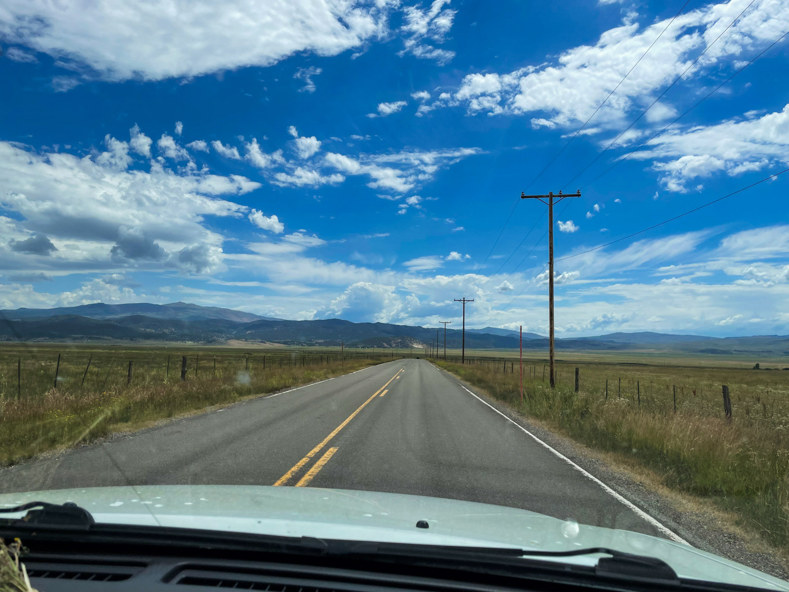
After another dazzling trip over Sonora Pass, we stopped in Bridgeport for lunch at Albert’s, a beautiful blast from the “Dazed and Confused,” heavy metal thunder past. After a long wait, we sat down at the Jolly Kone next door and ate. I was still getting over a stomach bug that didn’t make me happy to eat anything at all, but I managed to eat most of my sandwich, always an important marker at the beginning of a trip.
We drove to Mono Village, paid for our parking, and were off by 3 PM.
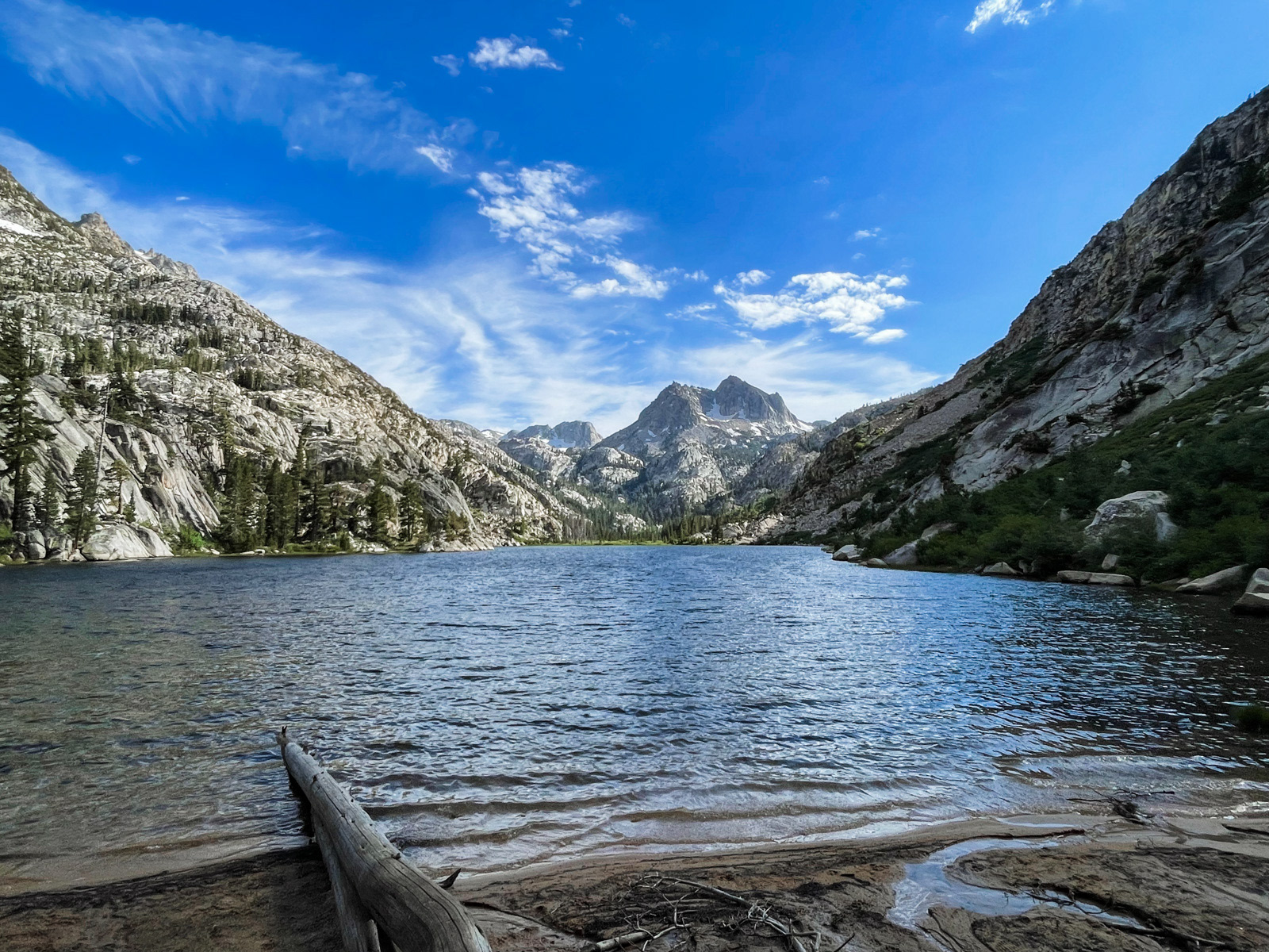
We made it to Barney Lake by 4:30, home to one of the finest trailhead-adjacent views in the Sierra.
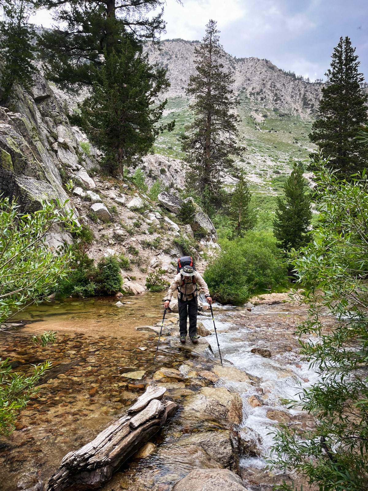
It drizzled a bit as we climbed up to Robinson Lakes, passing some wet foot creek crossings.
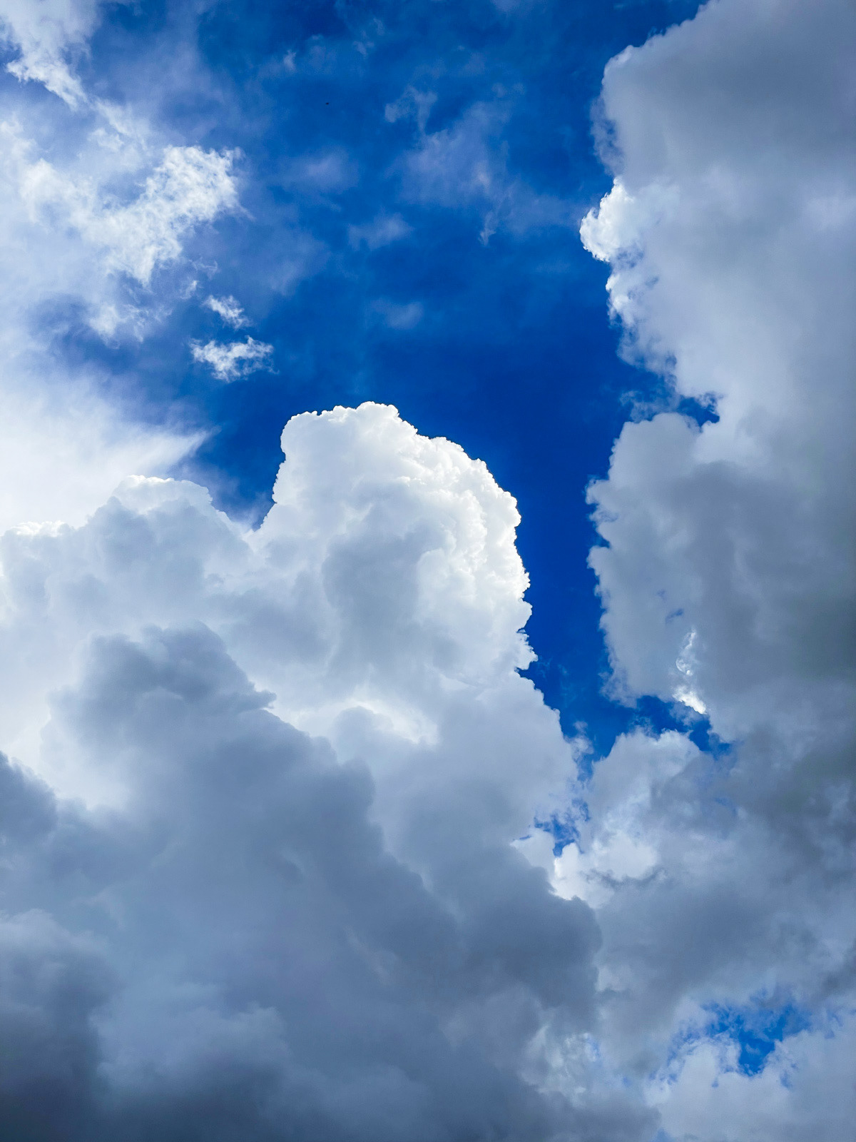
The light was amazing. God damn these stormy trips!
We stopped early at Crown Lake. The trail was often a small creek, and I figured my preferred campsite at the lake would be wet as well. We kept walking over to the south side and eventually found a couple of slanted spots by a rocky outcropping. The mosquitos were out in force, but — blessing of blessings — they seemed to prefer my friend over me.
Crown is watched over by The Juggernaut. It’s a bad name for something so remarkable; it sounds like a wrestler’s moniker.
The following morning was cloudy, and this fair weather hiker/sailor took warning.
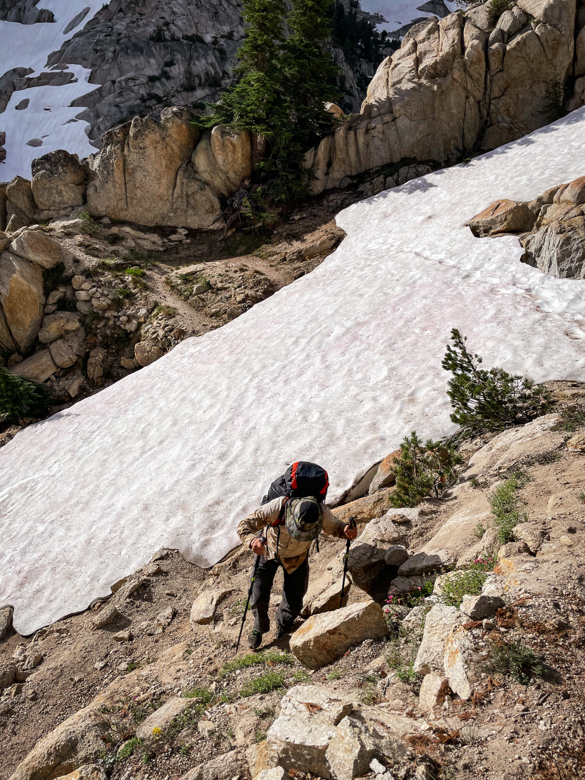
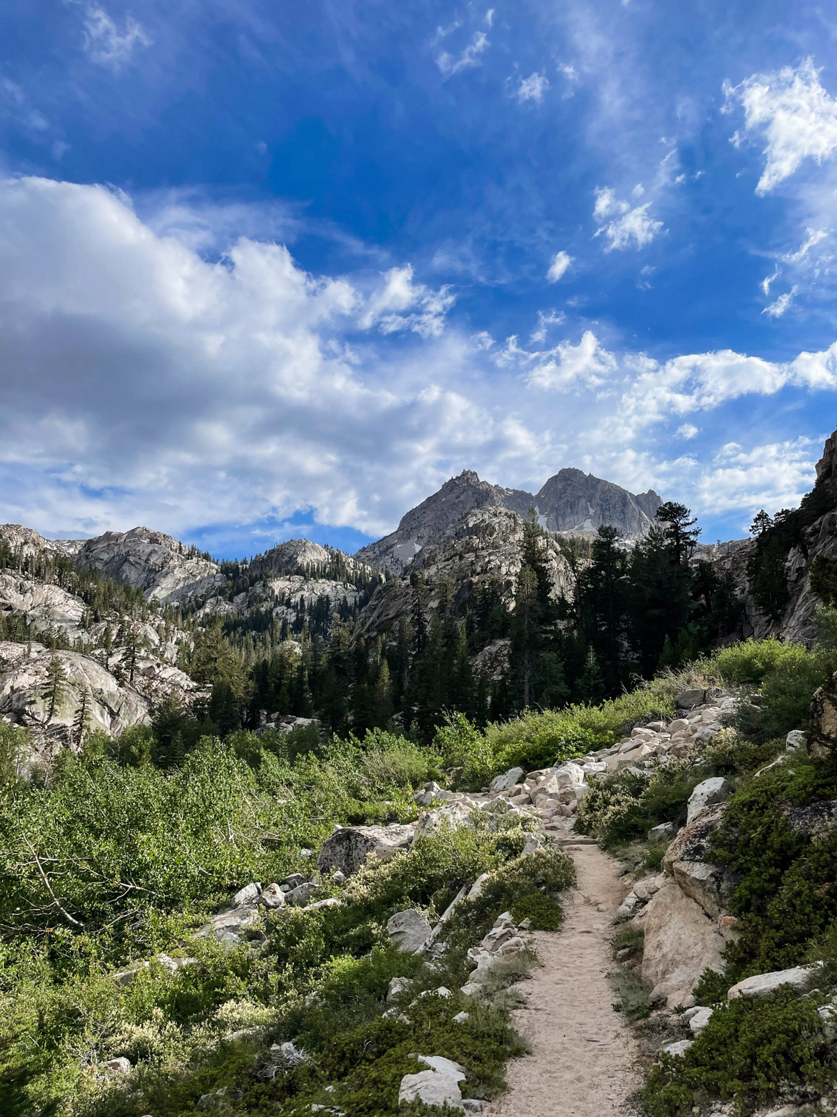
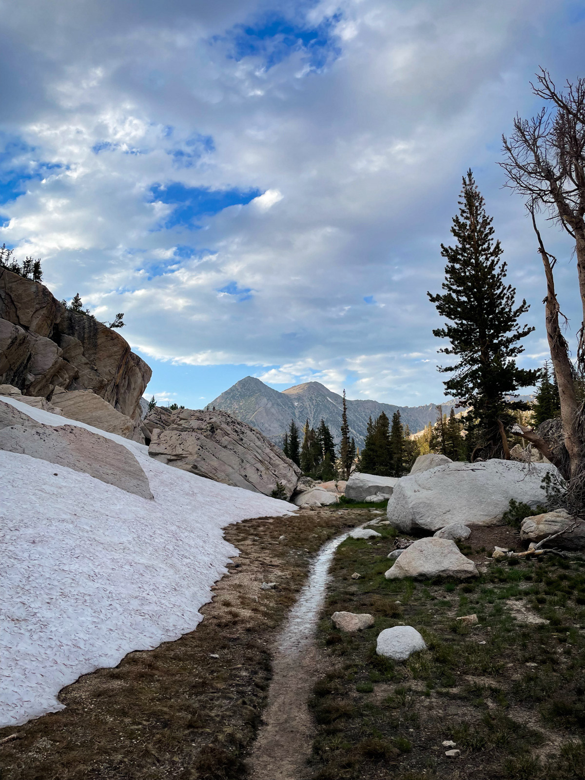
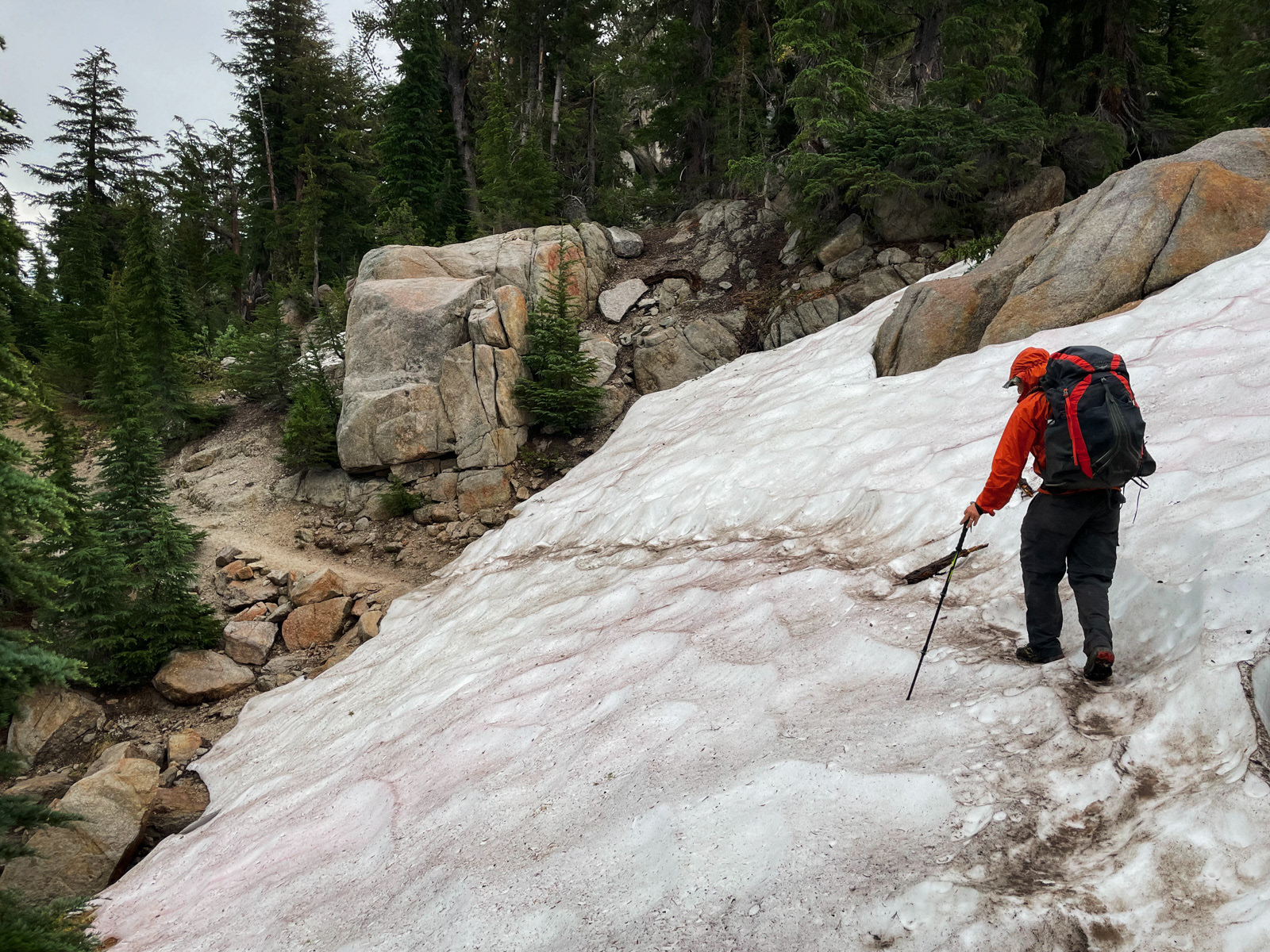
We were walking by 8 AM, climbing the switchbacks and sometimes cutting them to avoid a steep remnant snowfield.
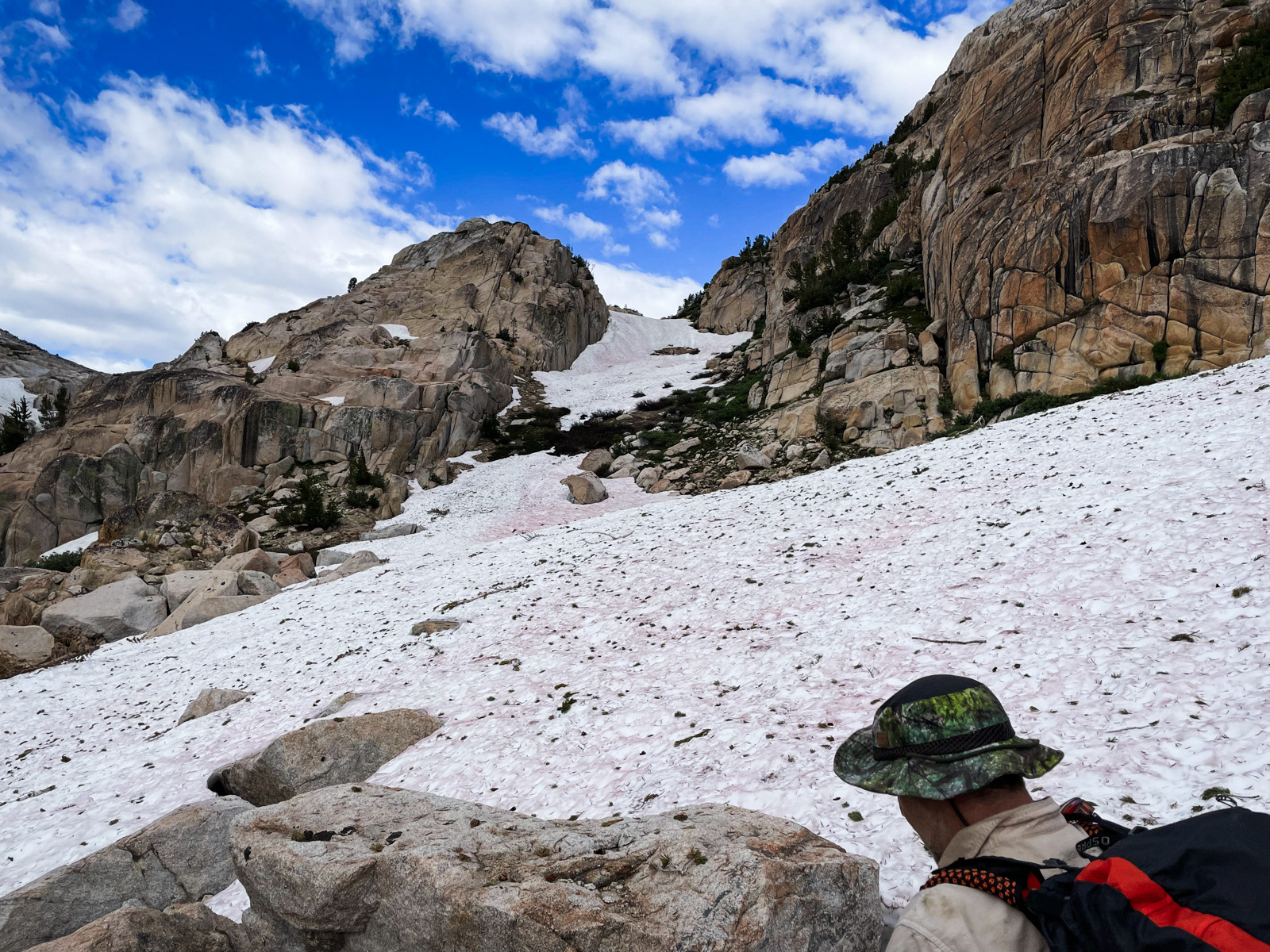
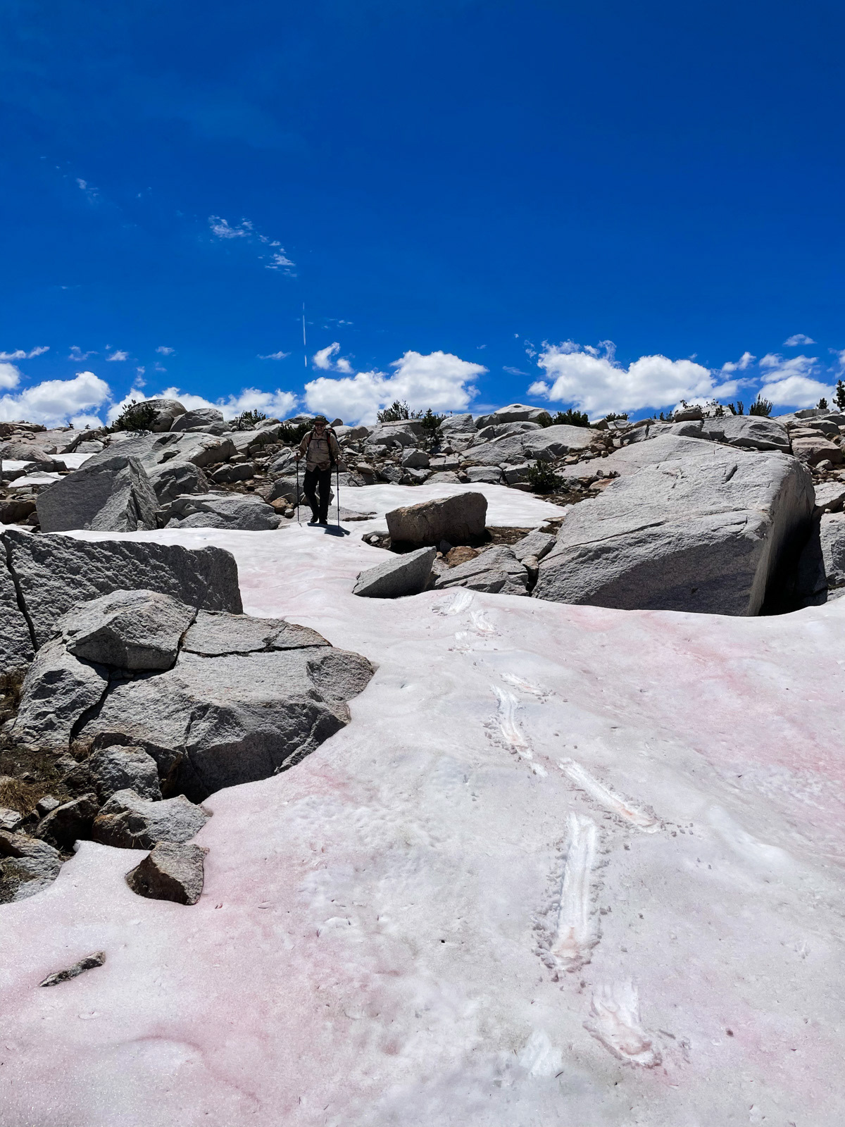
Soon we were walking on a fair bit of snow and eyeing a chute choked with the stuff. That couldn’t be the trail?
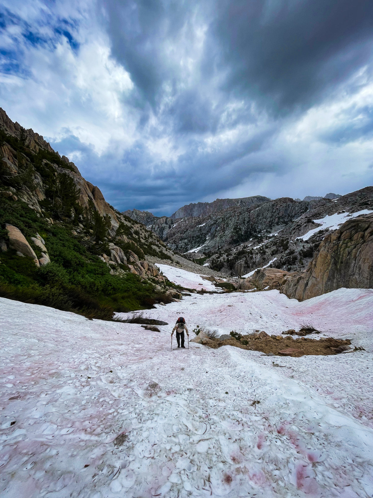
It could. We charged up the center and it was fine without spikes, aided by previously cut steps and the fact that, as usual, the steepest-looking part from afar was not so steep underfoot.
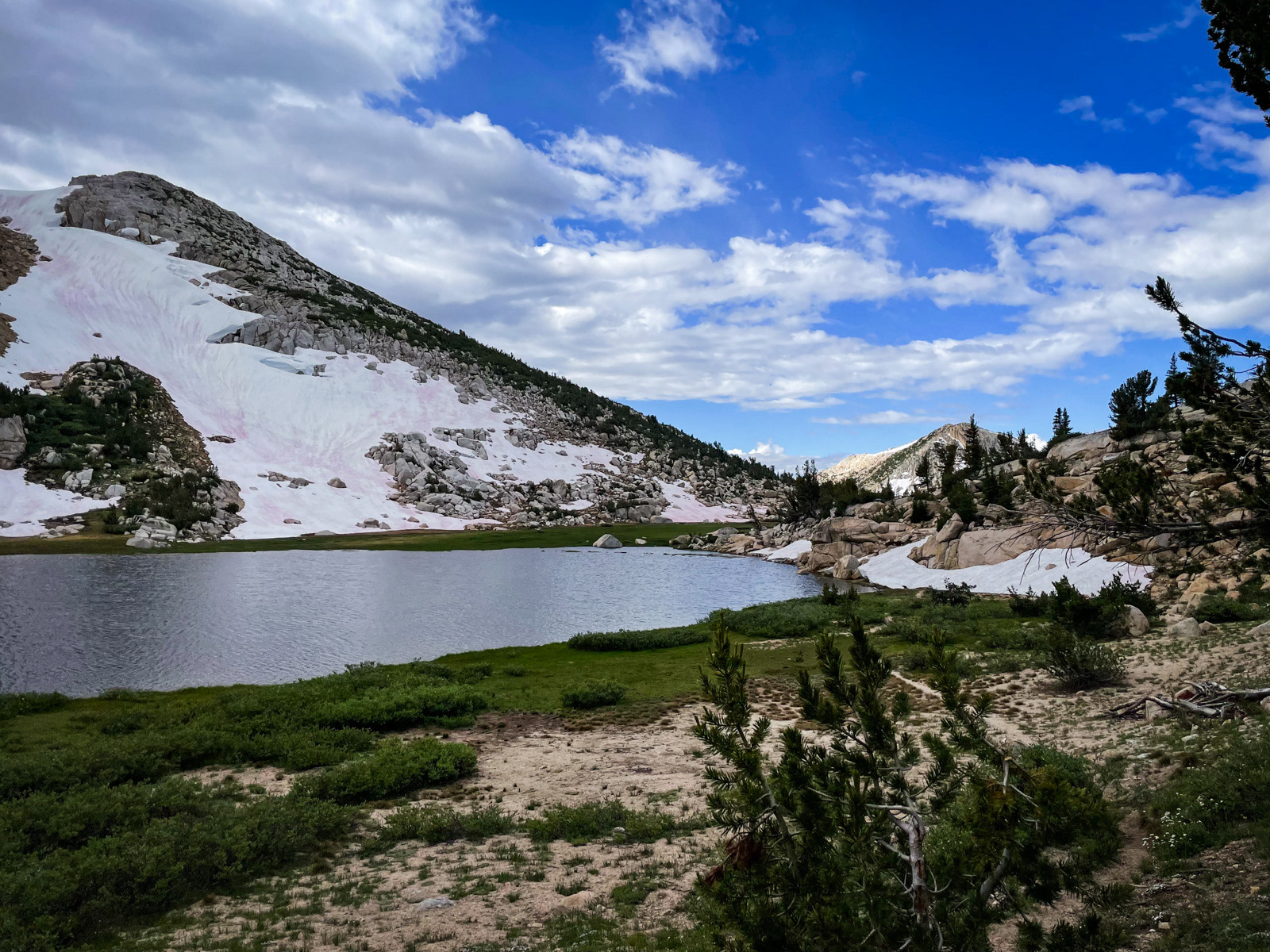
At the top of the chute we found Snow Lake, where we were quickly met by a man who said that his friend had torn his ACL. He was rushing down to Mono Village to call for help. I told him about my Garmin, and I pressed the SOS button. Even so, he continued down to Mono Village for some reason (?), and we headed toward his unlucky friend.
We found the injured hiker and the third member of their group at Rock Island Pass. Mr. ACL (or whatever was ailing him) was able to limp around in a straight line, but not much more. Texts started to stream back and forth with SAR. They were professional, on point and clear. It was already looking a bit stormy in the distance, and this greatly slowed the helicopter’s arrival.
In the meantime, Mr. ACL and friend were great fun to sit and wait with – both had been hiking the Sierra for many decades and had endless stories to tell. One had even been out in 1978’s Hurricane Norman, which took a few lives in the Hell For Sure area.
For the record, Mr. ACL’s three favorite lakes are Lake Reflection, Portal Lake, and Lower Mills Lake. Refined taste!
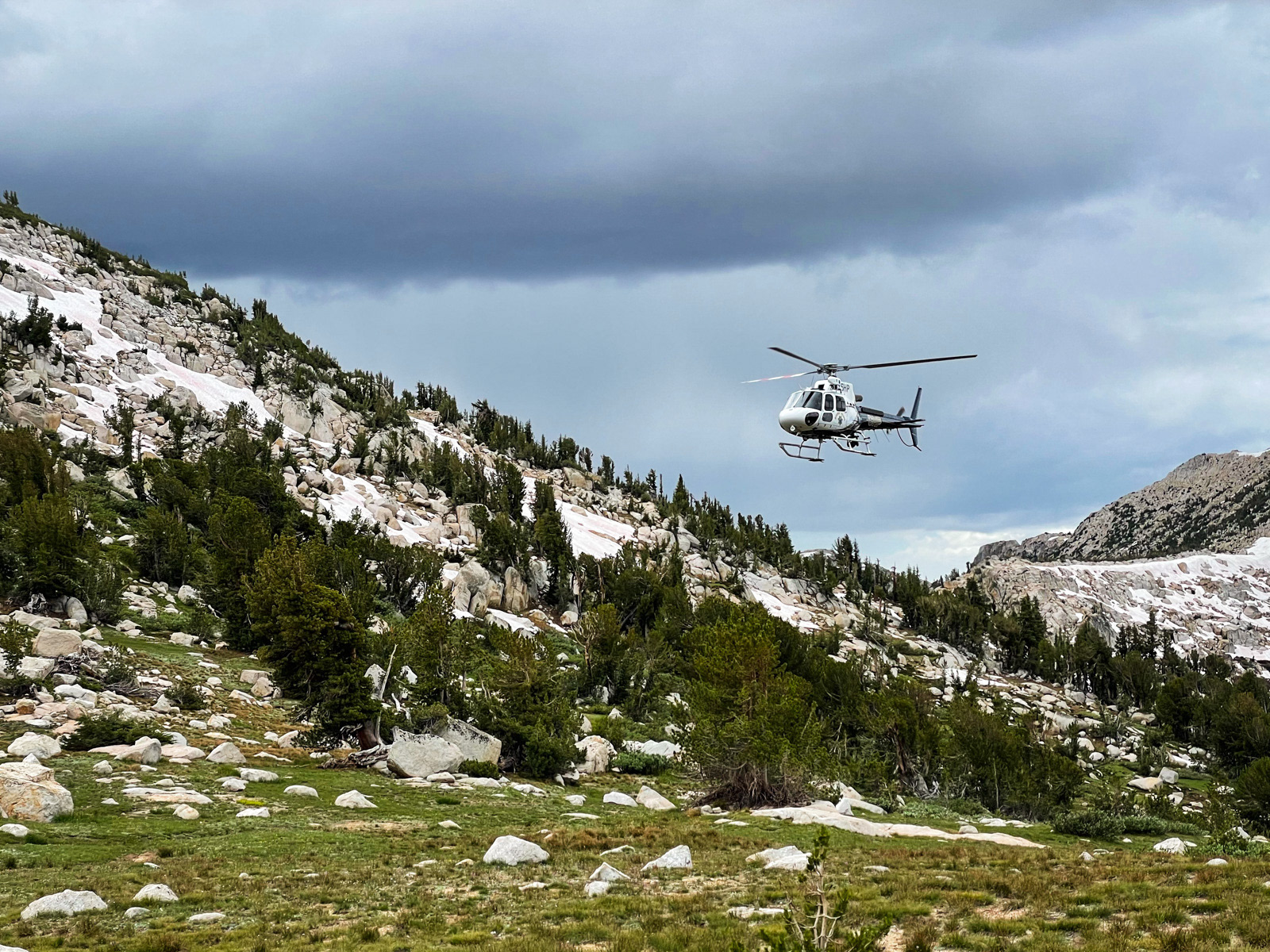
After a good hour or two of Sierra chitchat, we heard the distant helicopter.
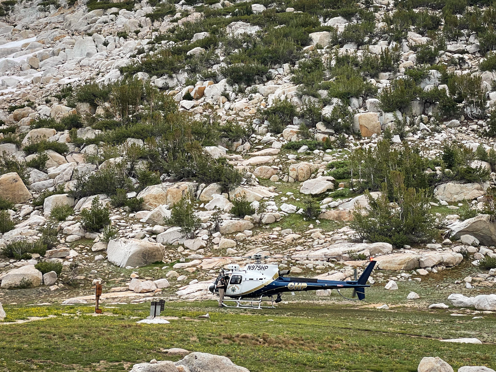
They said that storm cells had slowed them down but that they had rarely landed somewhere so flat and ideal for a helicopter.
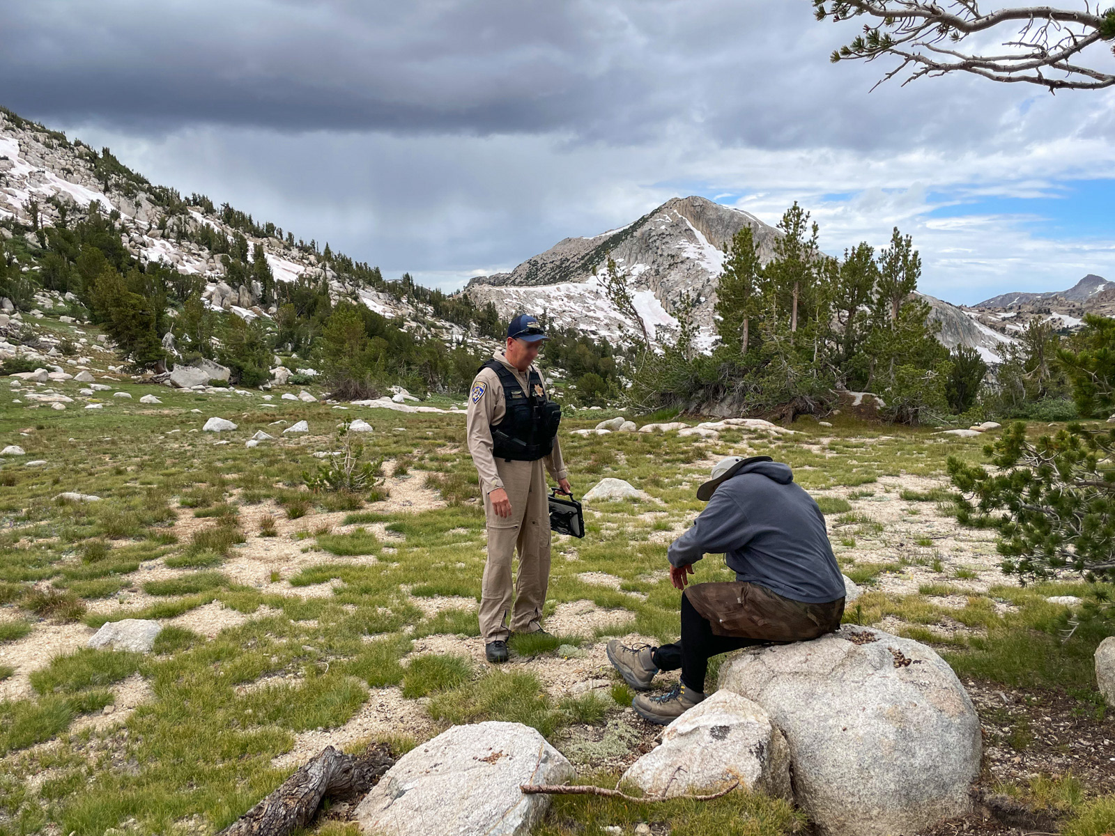
All told, it was about 3 hours from hitting the SOS button to Mr. ACL taking off in a helicopter, bound for Mammoth Hospital. Godspeed, Mr. ACL!
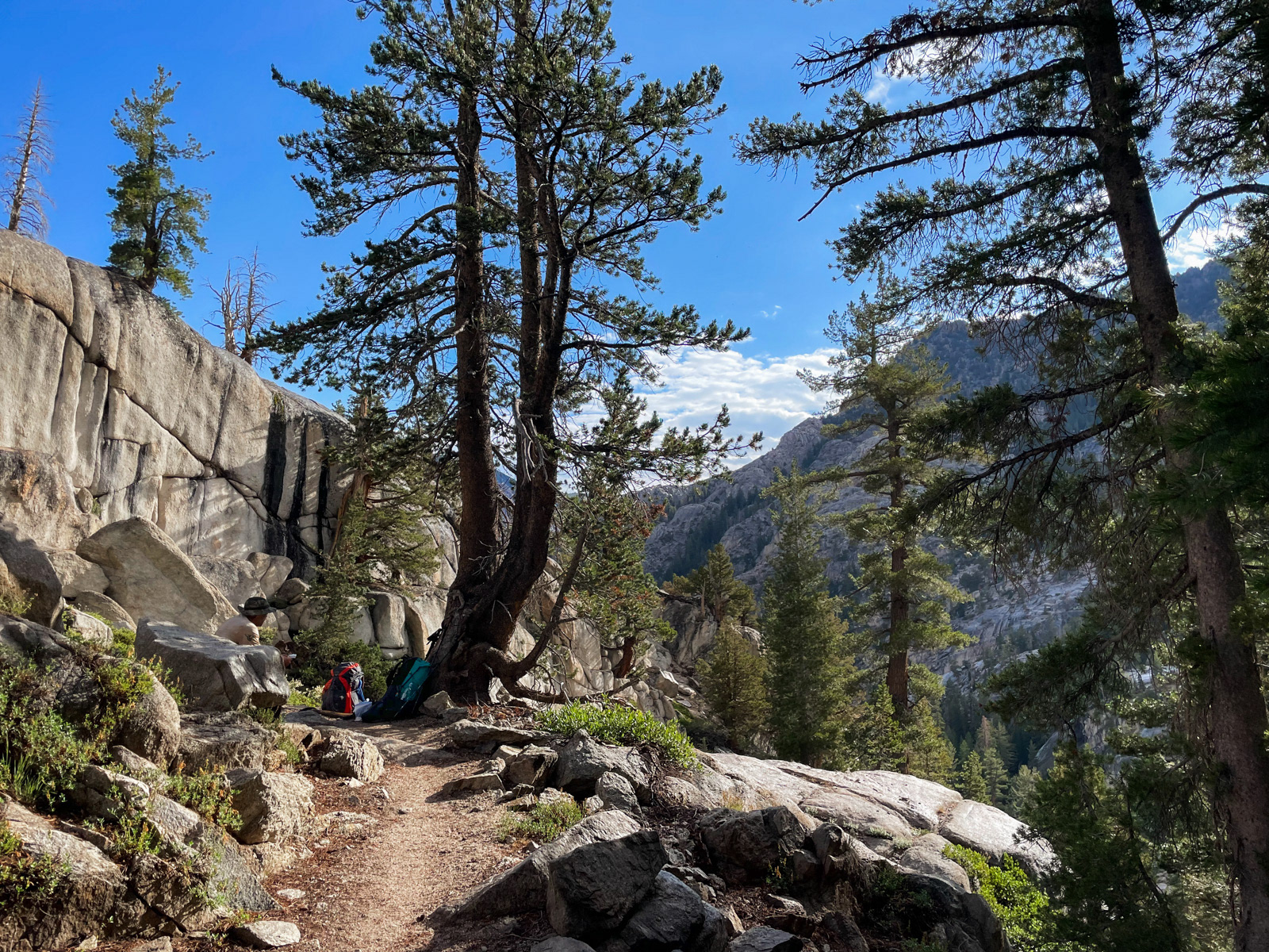
Disaster averted, we were off into Yosemite by 12:30.
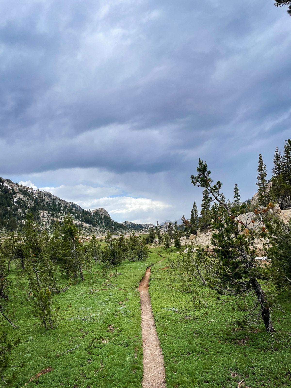
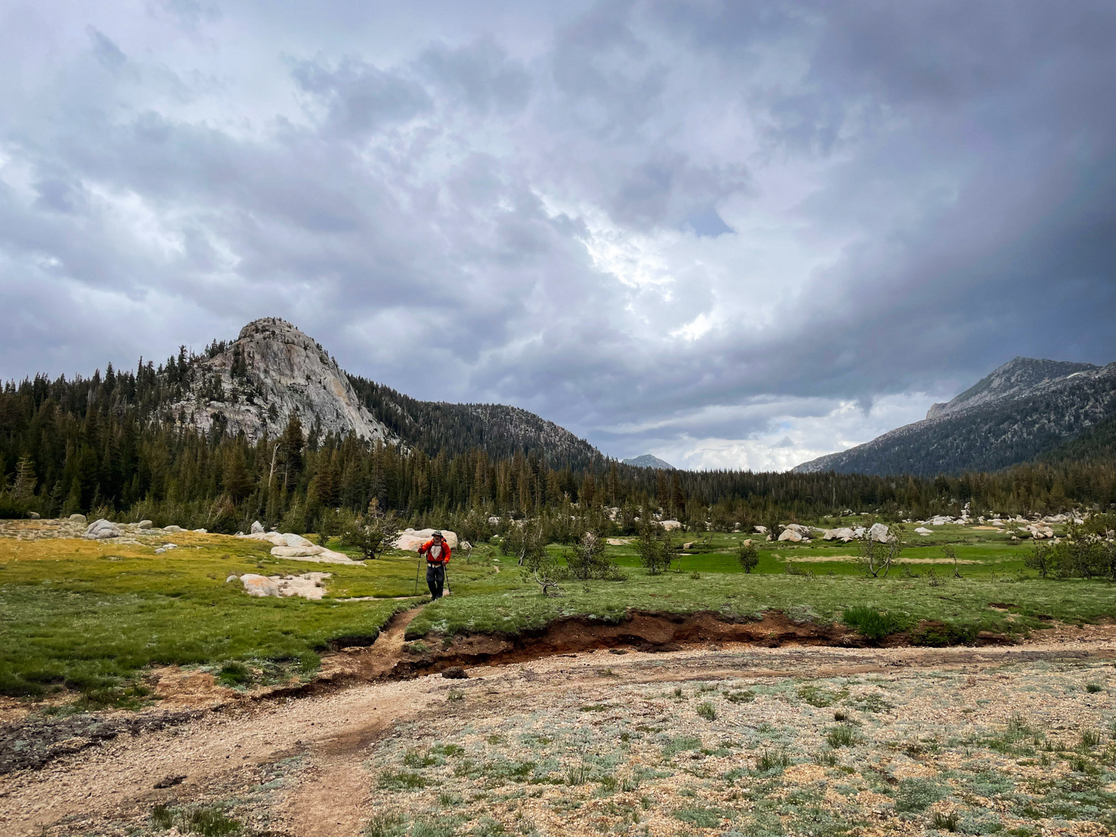
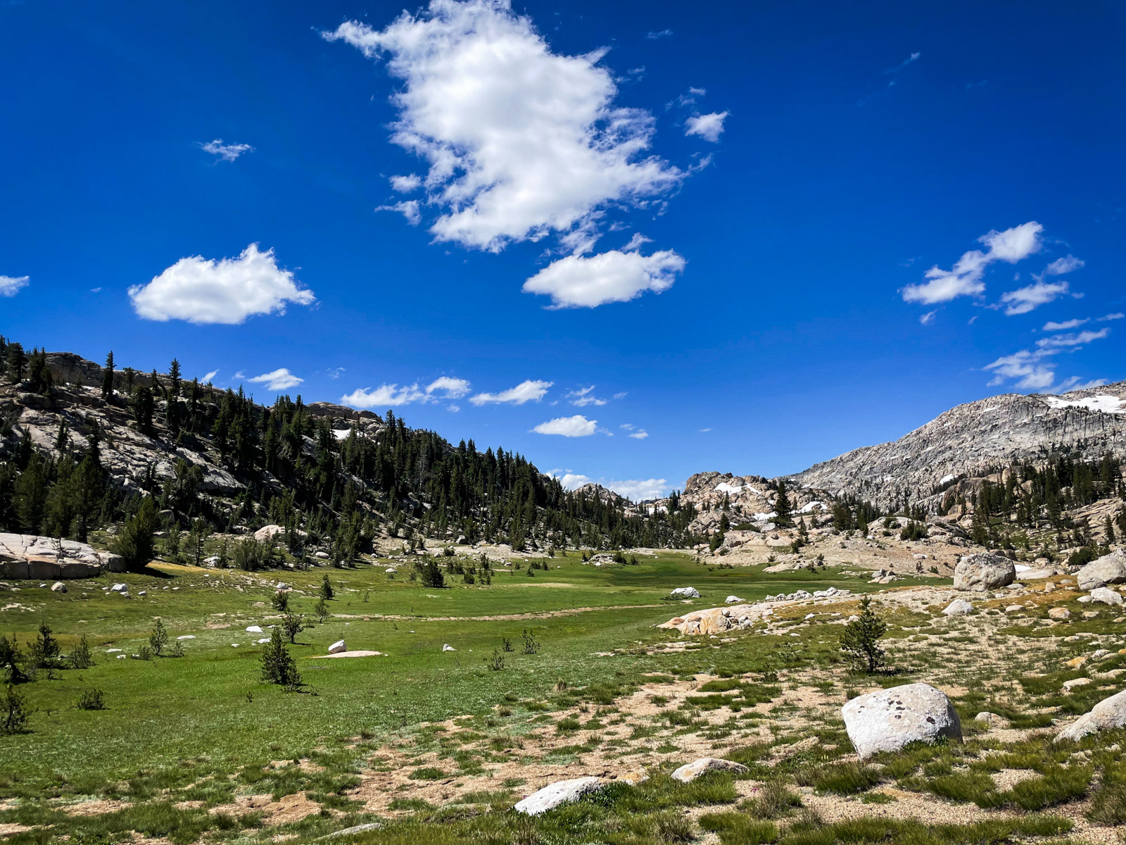
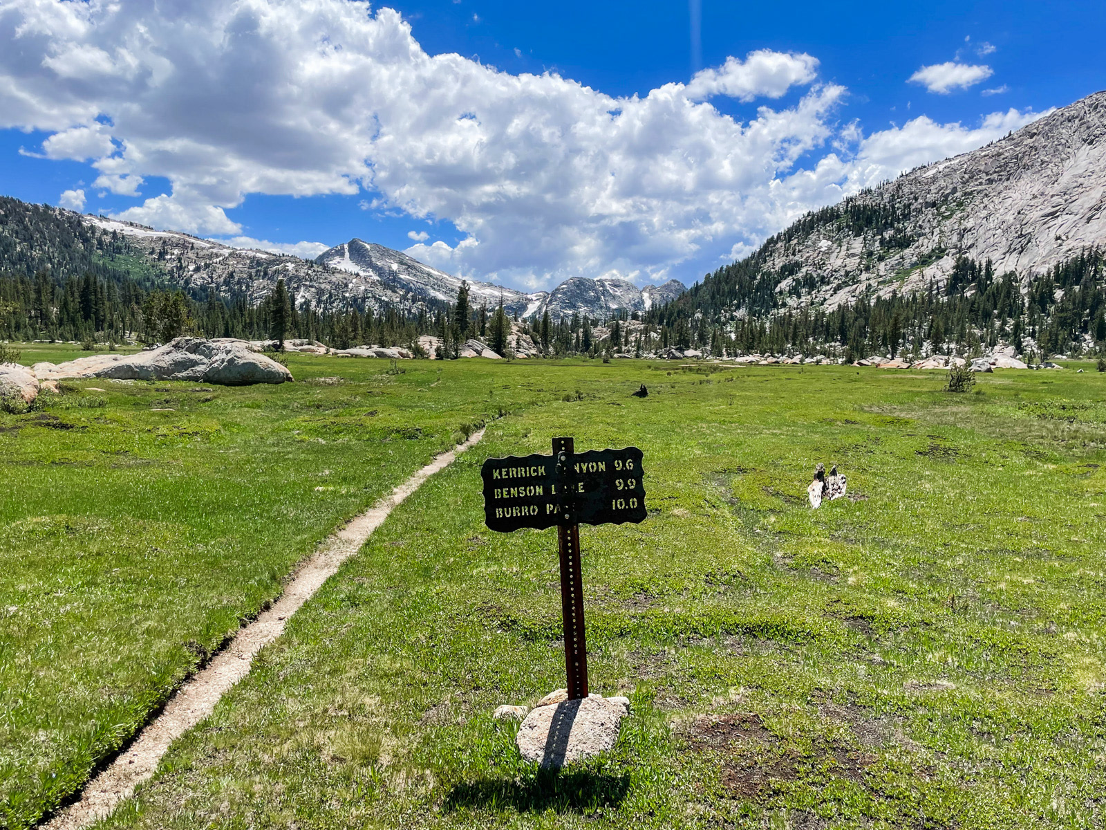
Kerrick Meadow was pretty, and the rain had arrived.
Thunder started firing off in the not-distant-enough distance, and eventually we saw some lightning as well.
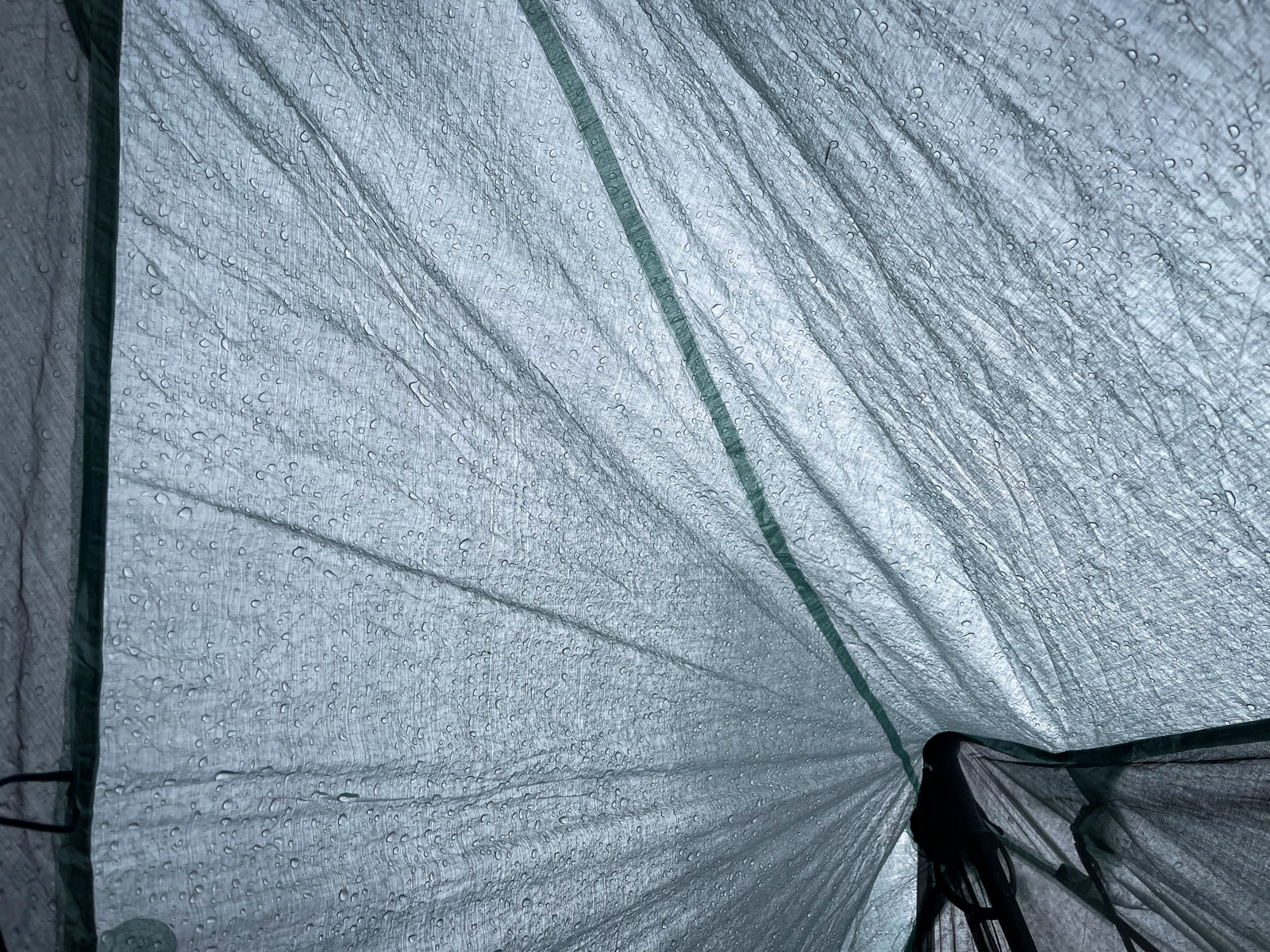
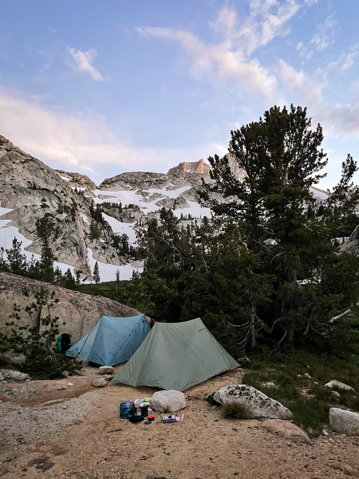
The rain picked up enough that we decided to stop early for the day at 3 PM. Once we were hidden away inside our tents, the sky dumped viciously for another 15 minutes before stopping entirely for the evening. Ah well.
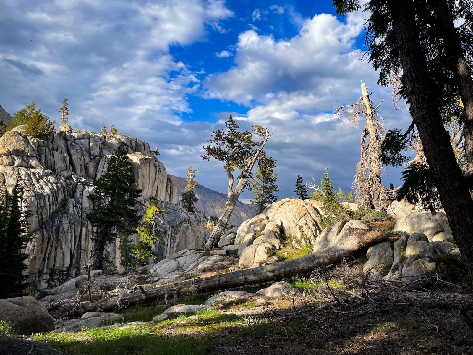
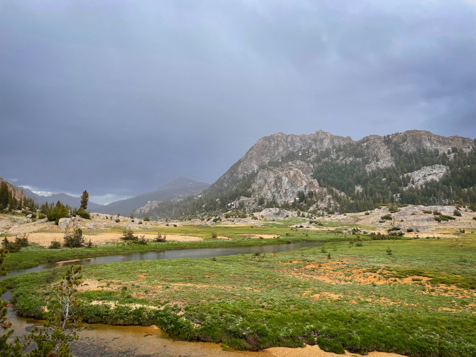
Fortunately, we were in a beautiful and private meadow, with glorious Rancheria Creek a couple hundred feet away and this stately granite wall staring right back at us (Peak 9477 on the USGS maps).
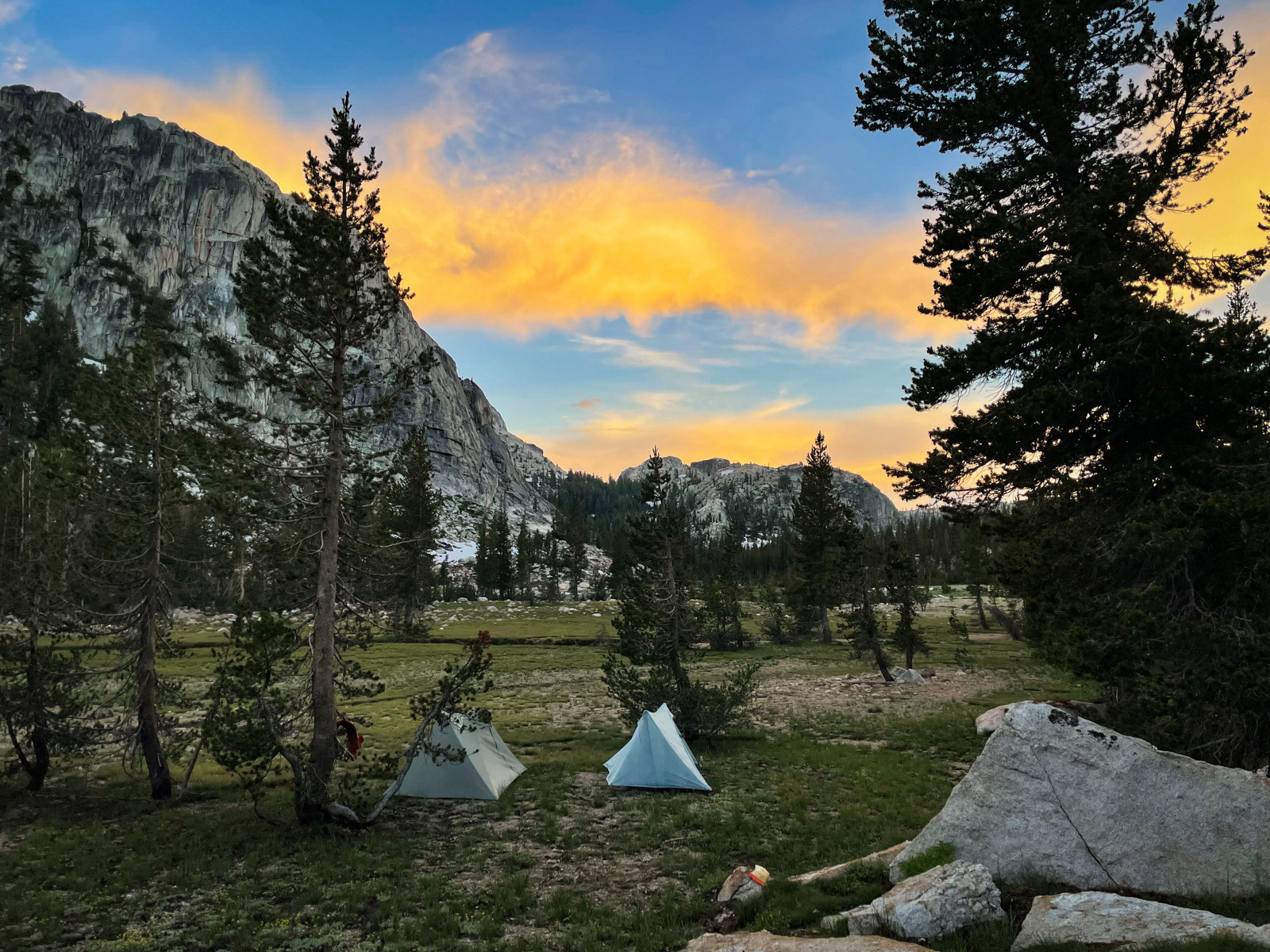
Thanks to our SOS break and this early afternoon, lightning-assisted campsite, we had only walked 7 miles and ended up in a funny spot where few would think to stop. But it became clear that it was actually a rather special place when given the time to take it in. I think this is the case in a huge majority of the High Sierra.
Goodnight.
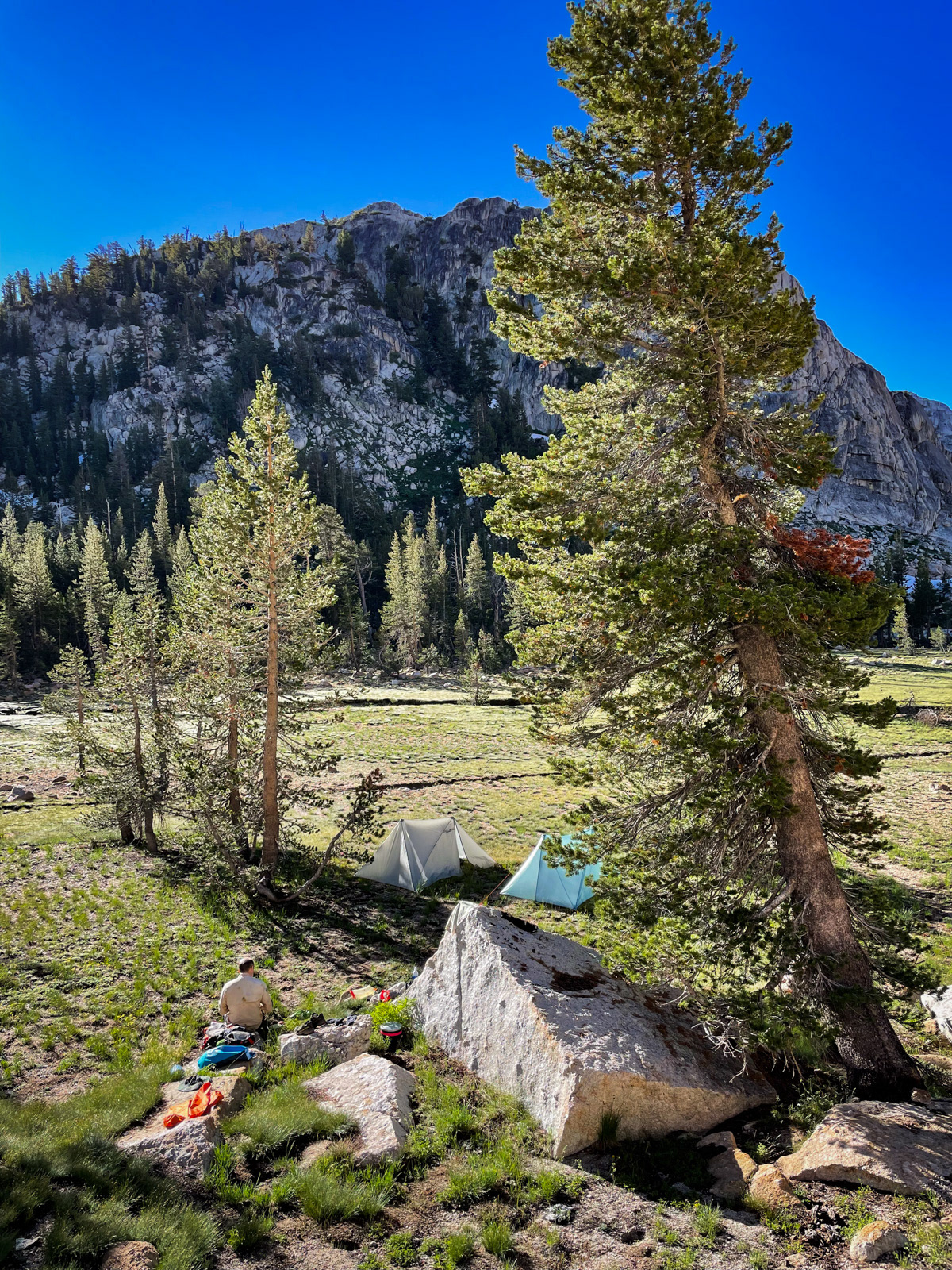
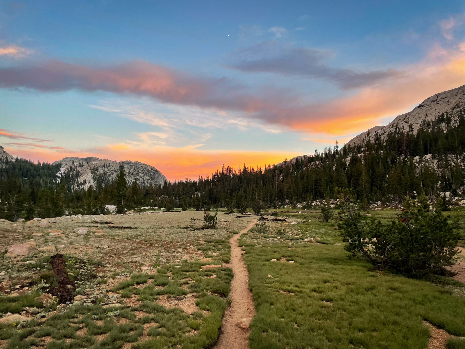
I slept for 10 deep hours, one of those ungodly tent sleeps that come over me once or hopefully twice a trip. In the morning, the sky was cloudless and the meadow beautiful. Our tents held the most condensation you have ever seen.
We dawdled and dried our bags in the sun. Our already rough, original plan was in the wood chipper, and we were now in full improvisation mode.
We decided to head up to Arndt Lake. Why not?!
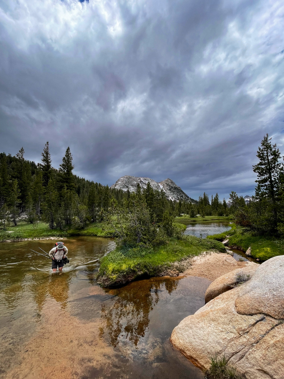
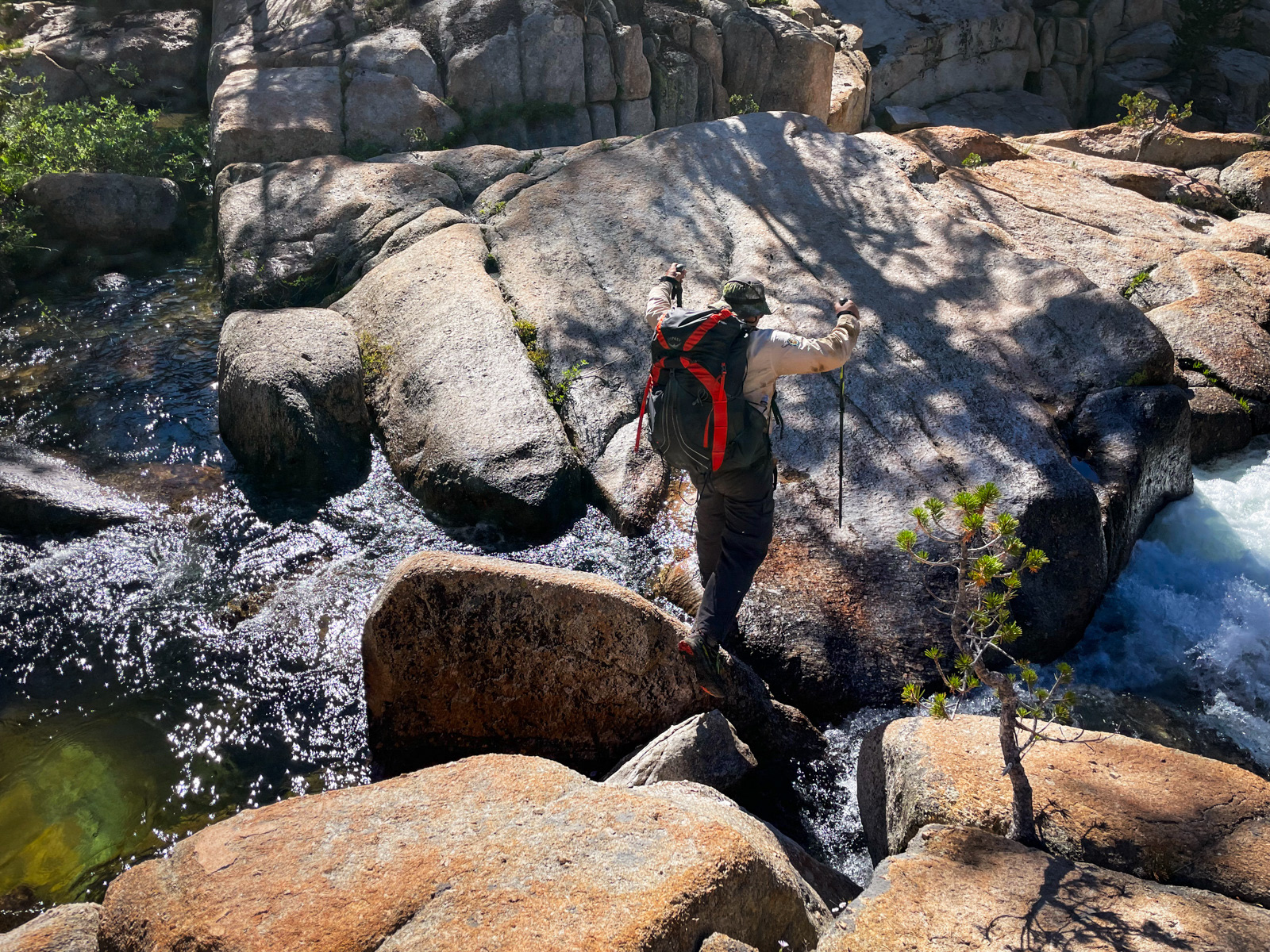
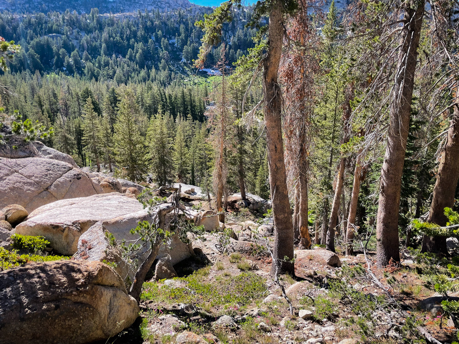
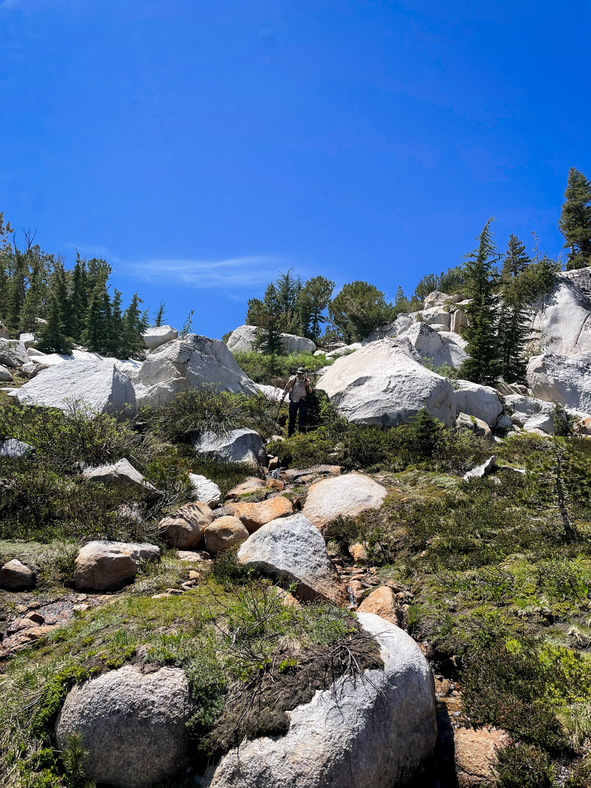
We crossed Rancheria at a choke point and started climbing through easy forest.
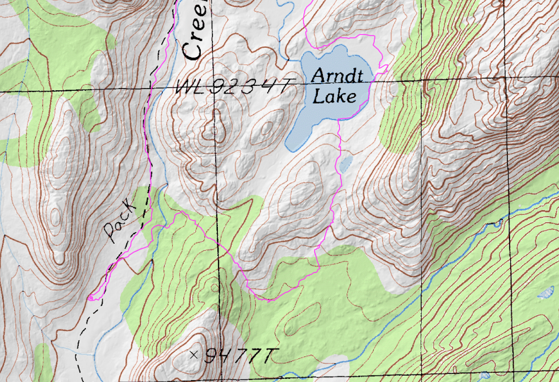
It was so easy, in fact, that we missed our left turn toward Arndt and ended up following the chute up to its obvious saddle.
Oh well, we just keep going in that direction, descending to the little drainage south of Arndt and walking back up to the lake from there. It was very soggy and we saw some large bear scat.
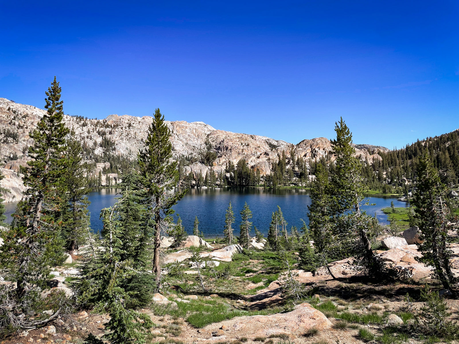
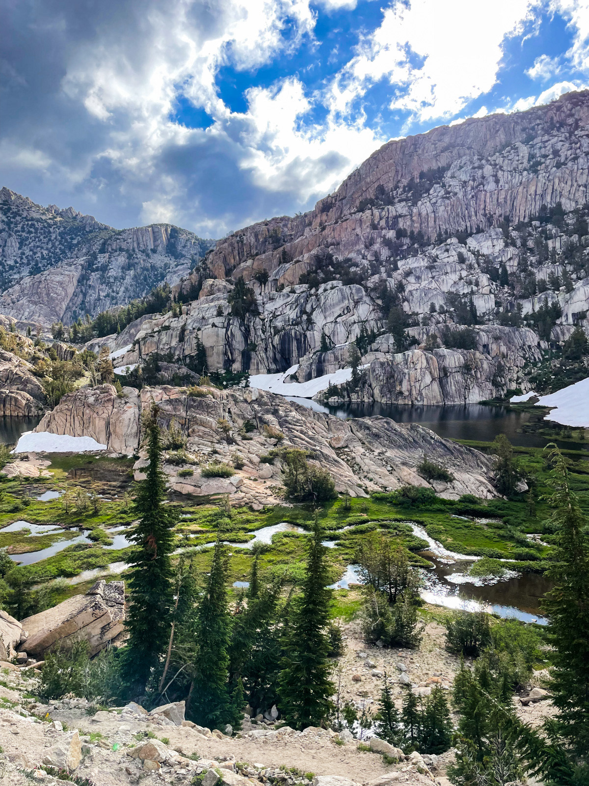
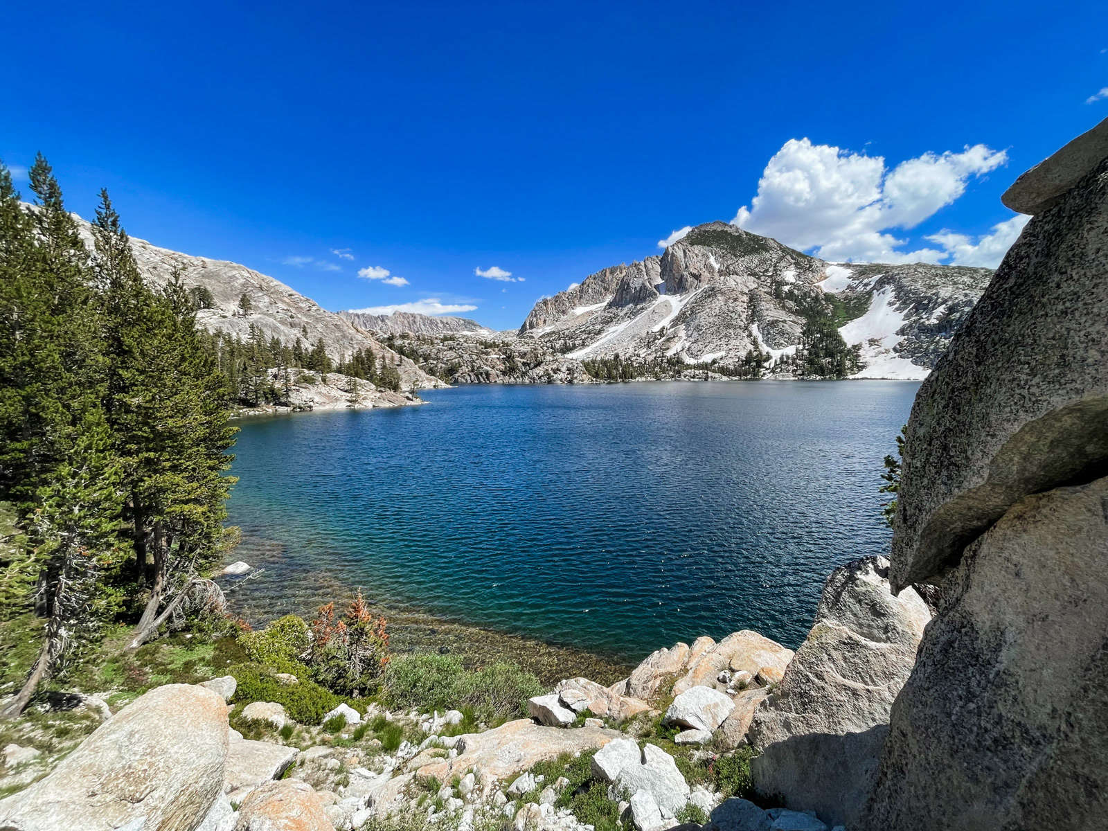
Soon enough we were looking down on Arndt Lake.
A very pretty lake.
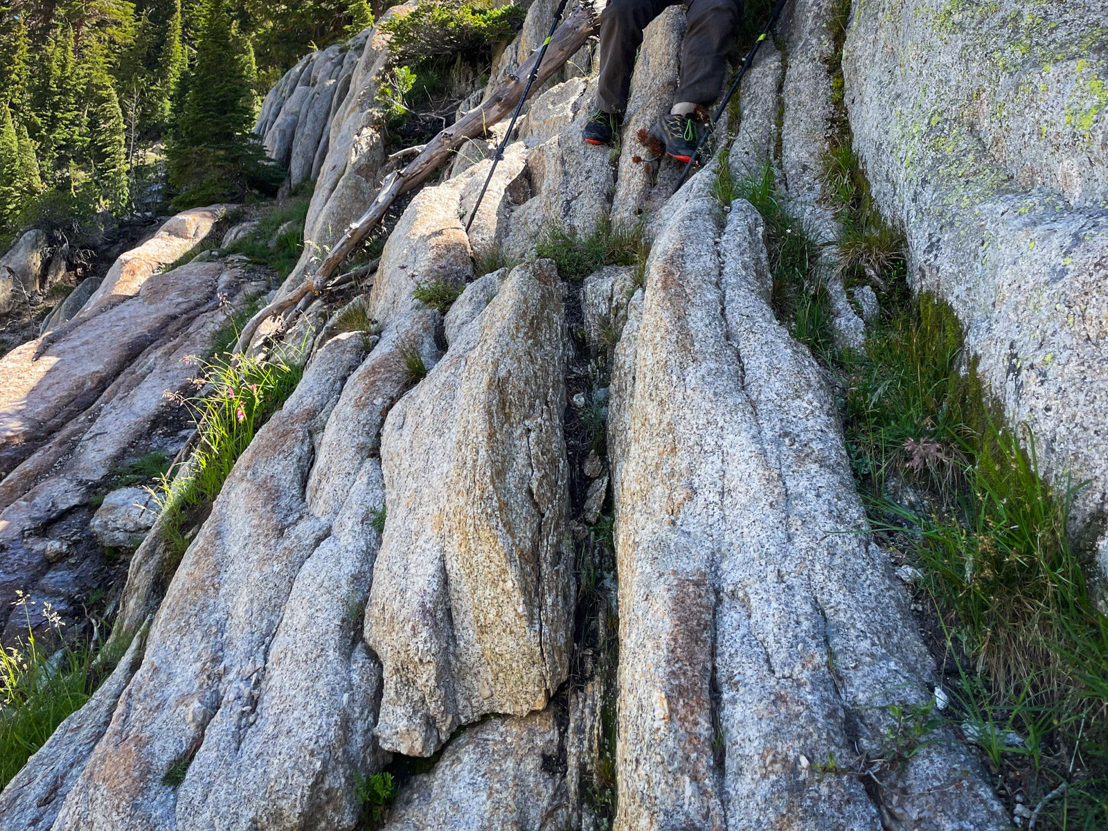
We took off around the north side of the lake, which required climbing up and down some rocky fins. This might’ve been avoidable if the lake level was a bit lower.
We passed a couple modest campsites on the northwest side of the lake and descended an obvious, mellow walk towards Rancheria meadow. This was actually a defined, old trail with rocks lining either side – perhaps made by horse people? It’s not on any map I’ve seen.
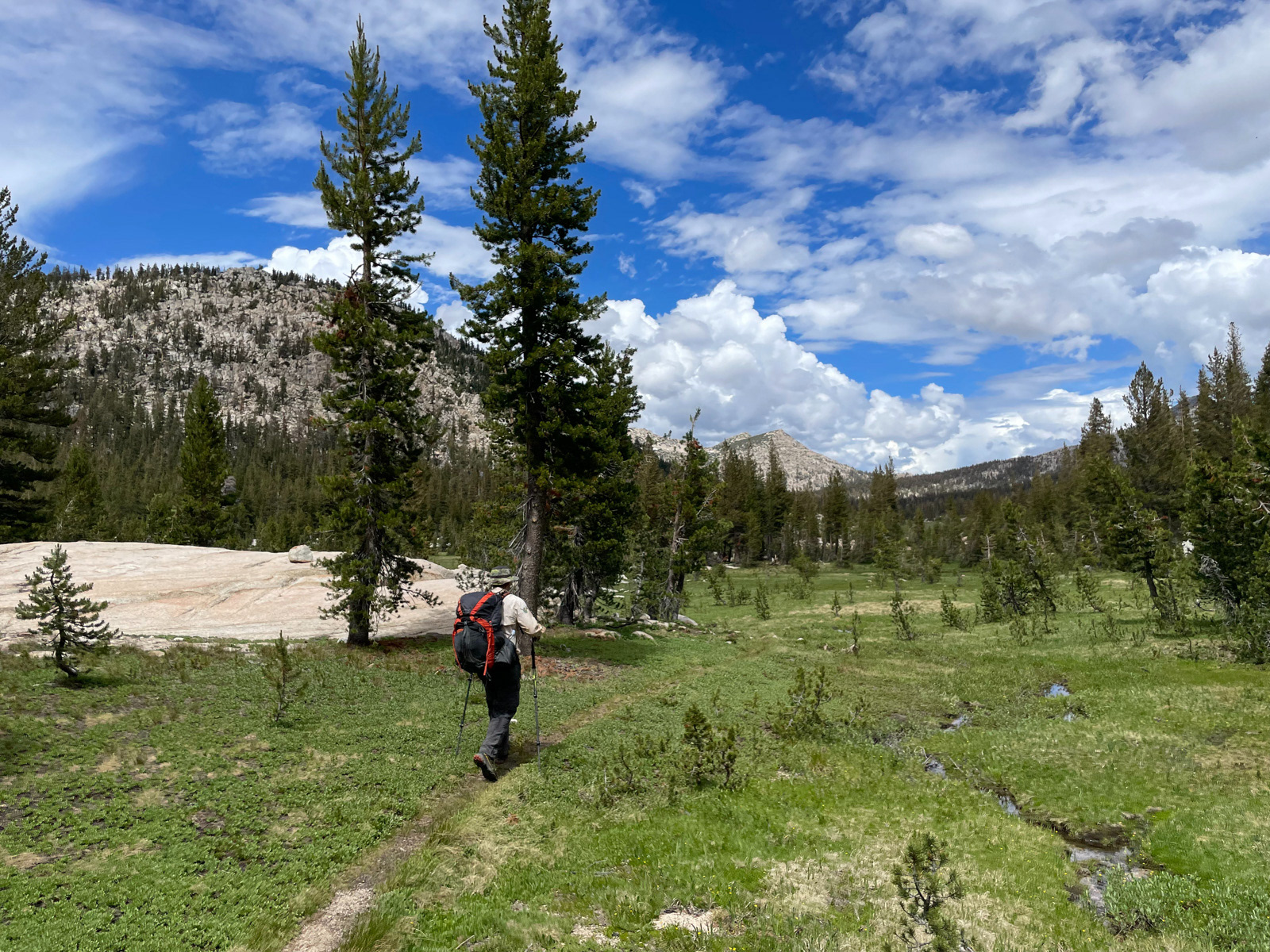
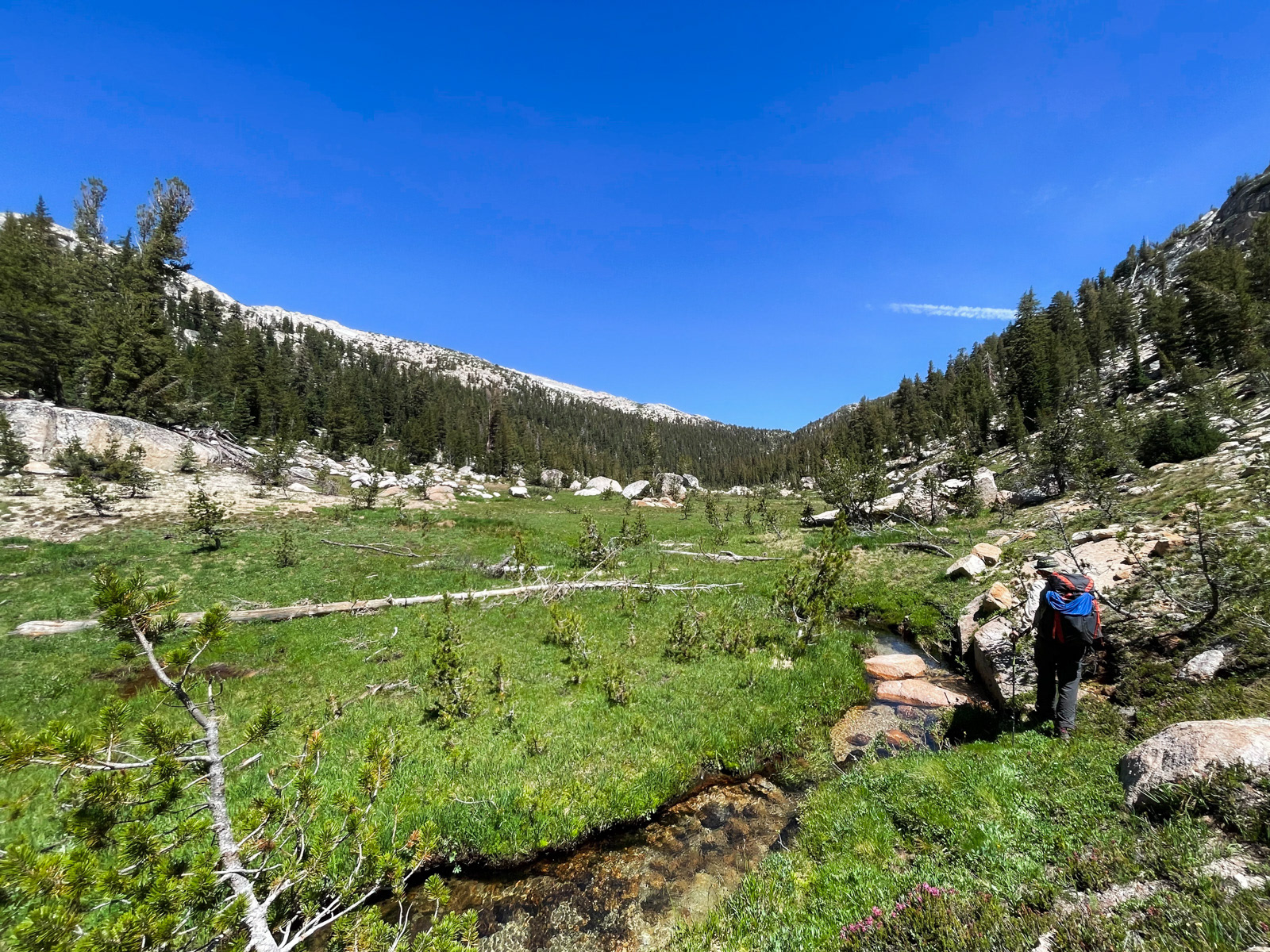
Down in the meadow, we were now retracing our steps from yesterday – not ideal. So instead of returning to the familiar trail, we hugged the mellow hills on the east side of the creek, which was beautiful and felt half a world away from the trail a hundred yards to our left.
Since we had nowhere to be and plenty of time to get there, I started looking for something else to do: a side quest.
Soon enough, I noticed a low angle drainage running north-ish behind a steep granite face. It looked inviting. A quick look at the map told us that it would ascend along a mellow slope to the top of the unnamed pass that leads into Thompson Canyon. We wouldn’t be taking it that far, but something that direction seemed like a fun alternative to simply retracing our steps back up Kerrick Meadow.
So we began our side quest around noon, climbing through trees before reaching a lovely, secret meadow with a narrow creek carving wide turns through it.
We kept climbing through somewhat steeper terrain. This is looking all the way back down to the meadow and Rancheria Creek.
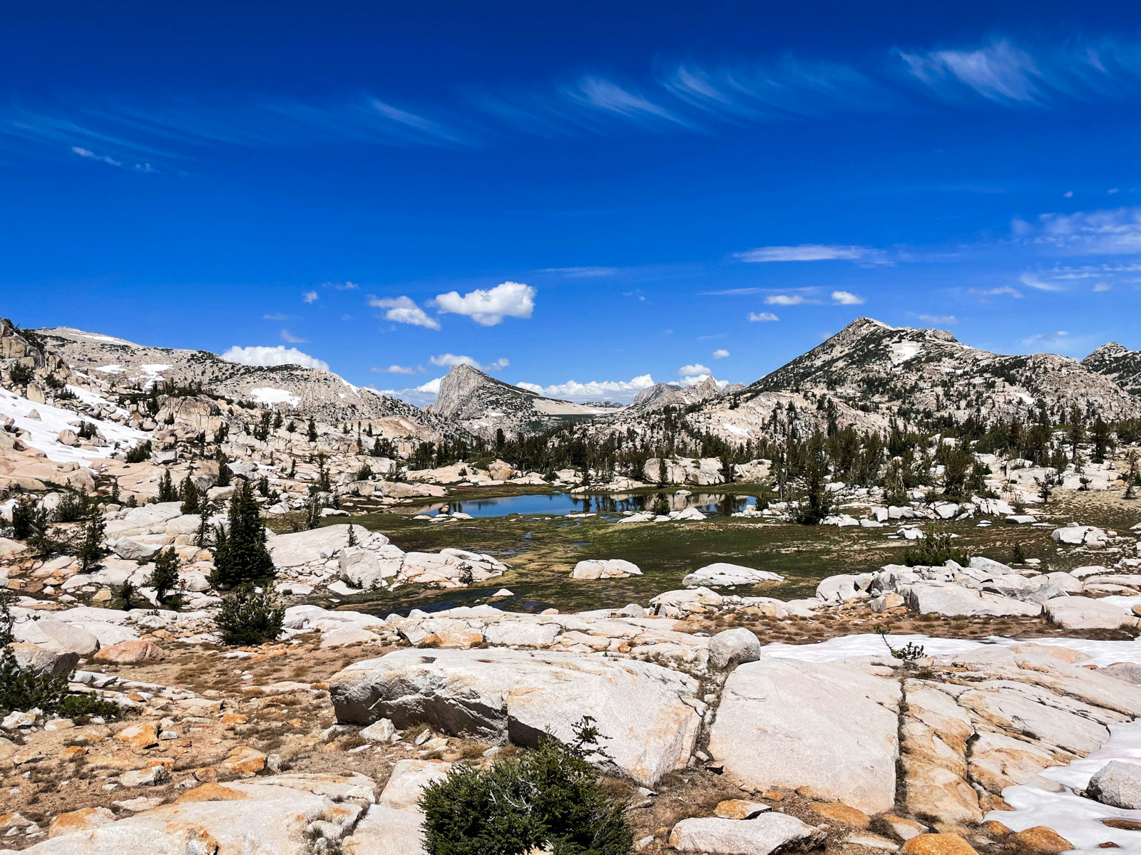
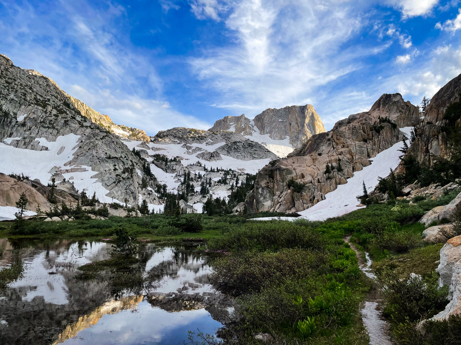
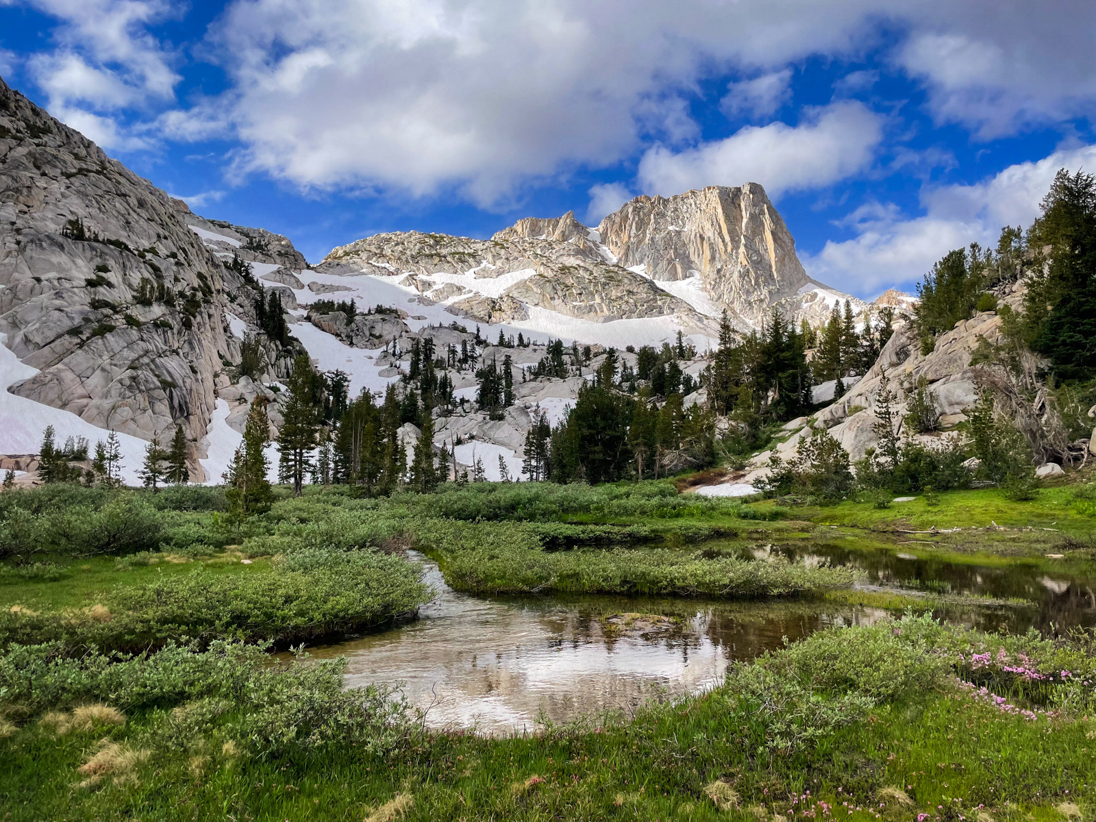
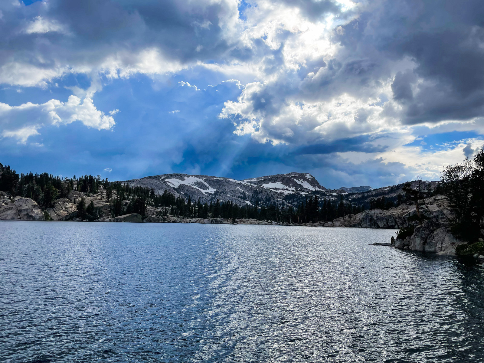
We made it to the pond at the top, with its stunning view of Hawksbill Peak. It was still early Summer up here: the ground was squishy-soggy, with steep snowfields creating dozens of temporary waterfalls and mini-creeks.
We started following the outlet of the pond, zig-zagging our way down snowfields, brush, seasonal streams, boggy ground and a bit of steep, rocky stuff.
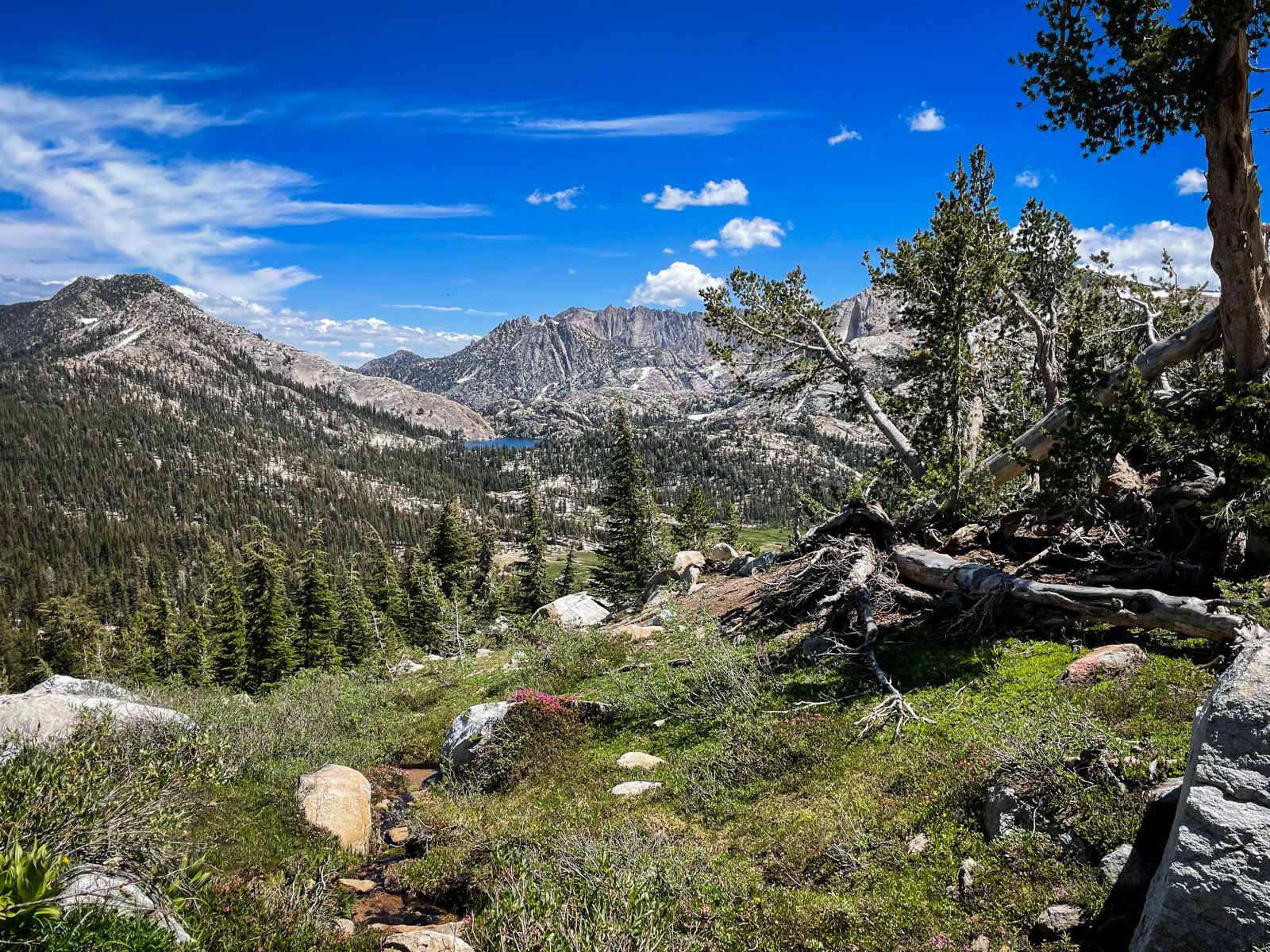
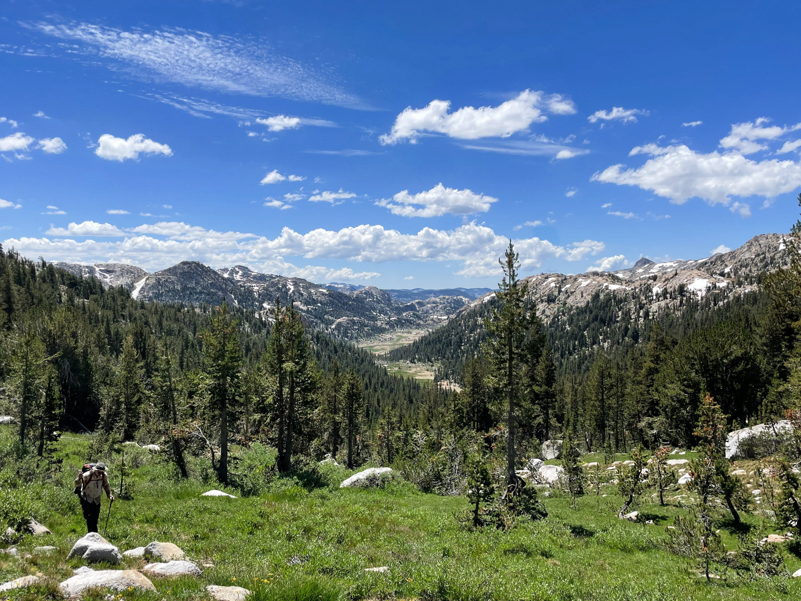
We could see the bright blue of Peeler across the valley, our eventual destination for the night.
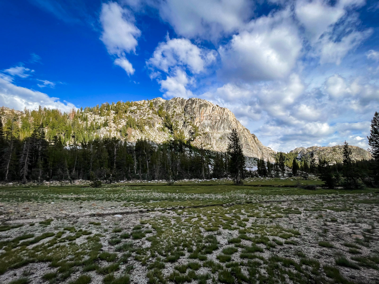
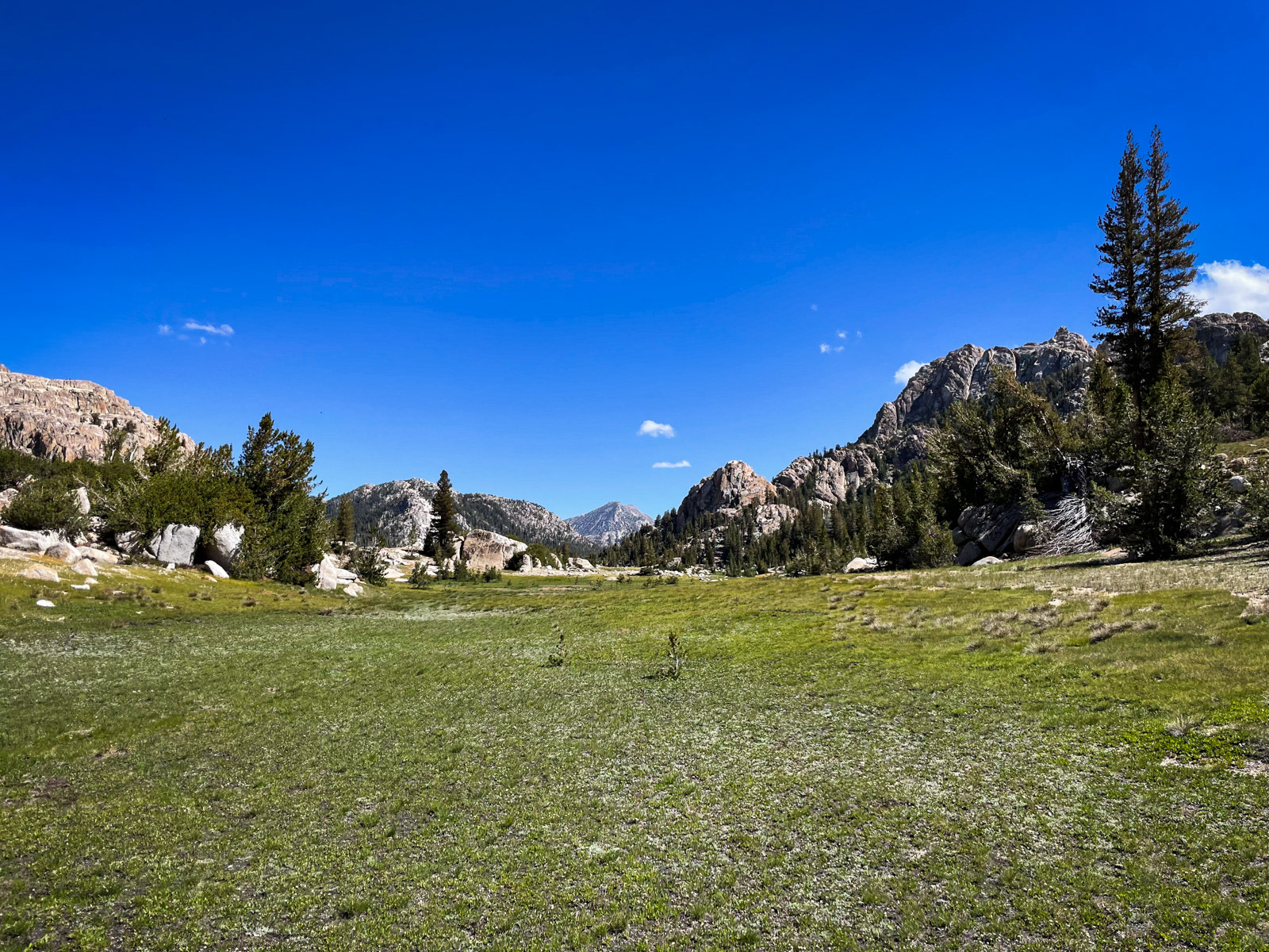
The slope lessened until we were back down in beautiful Kerrick Meadow.
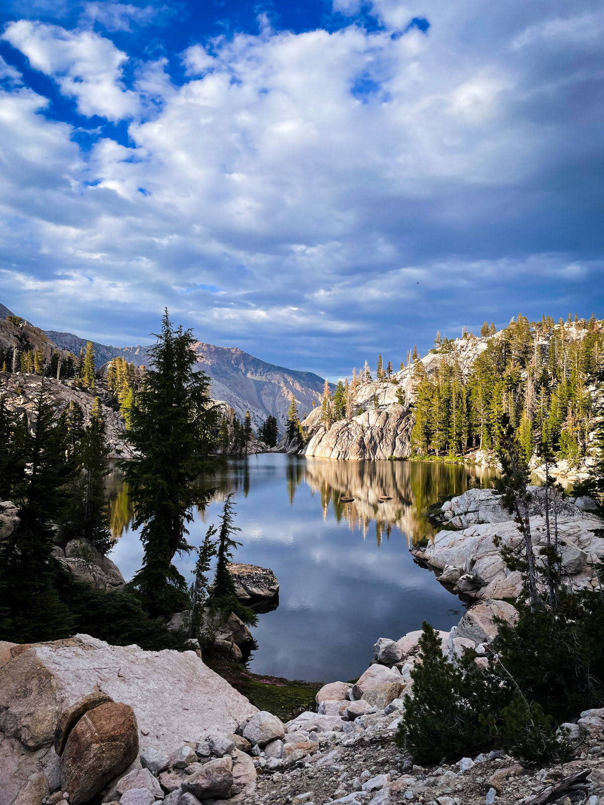
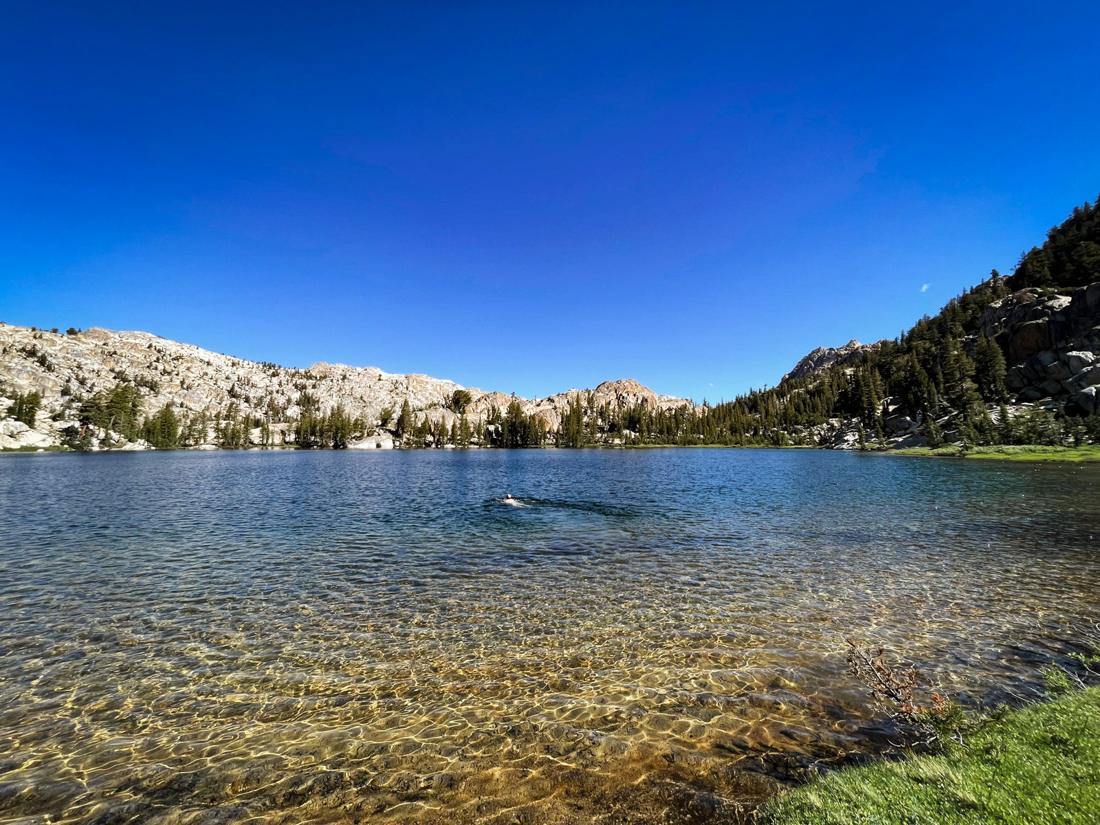
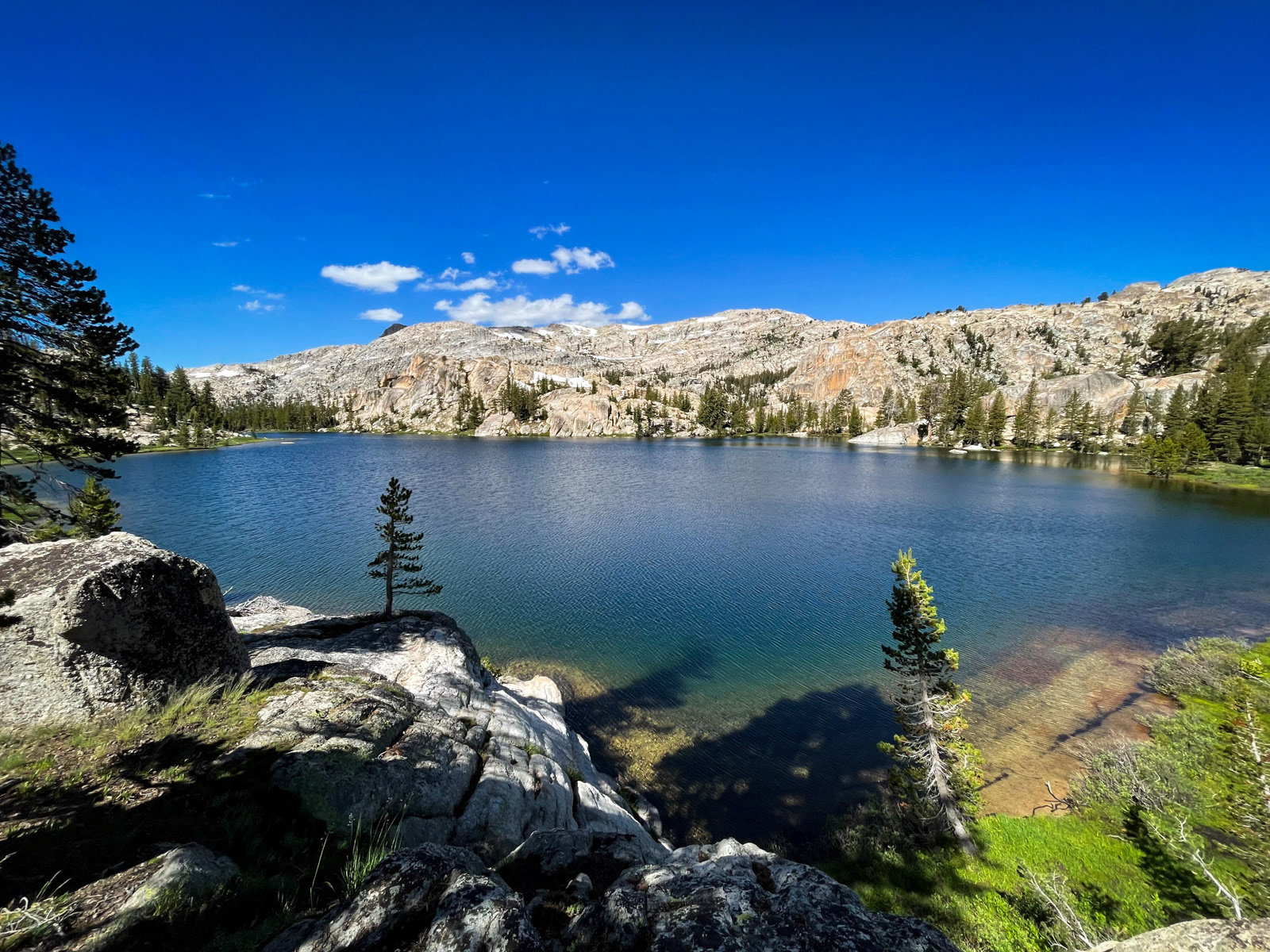
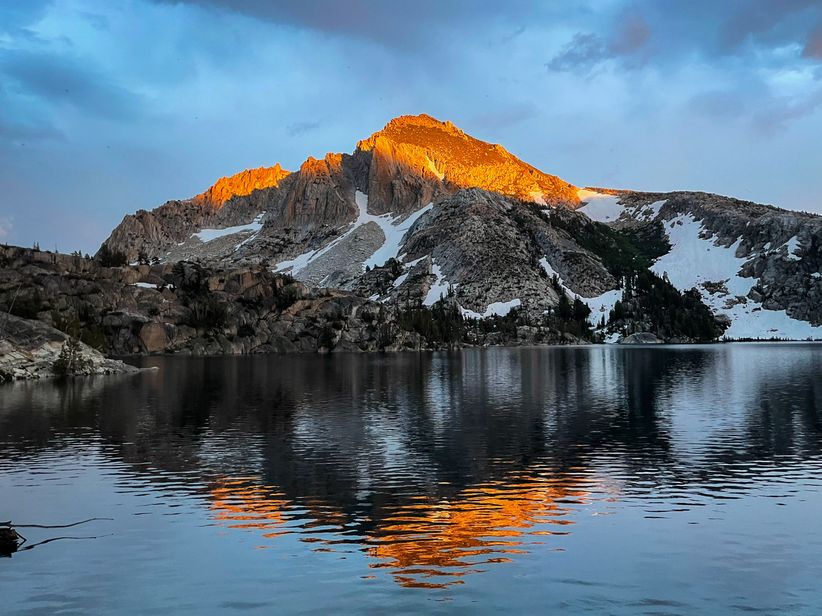
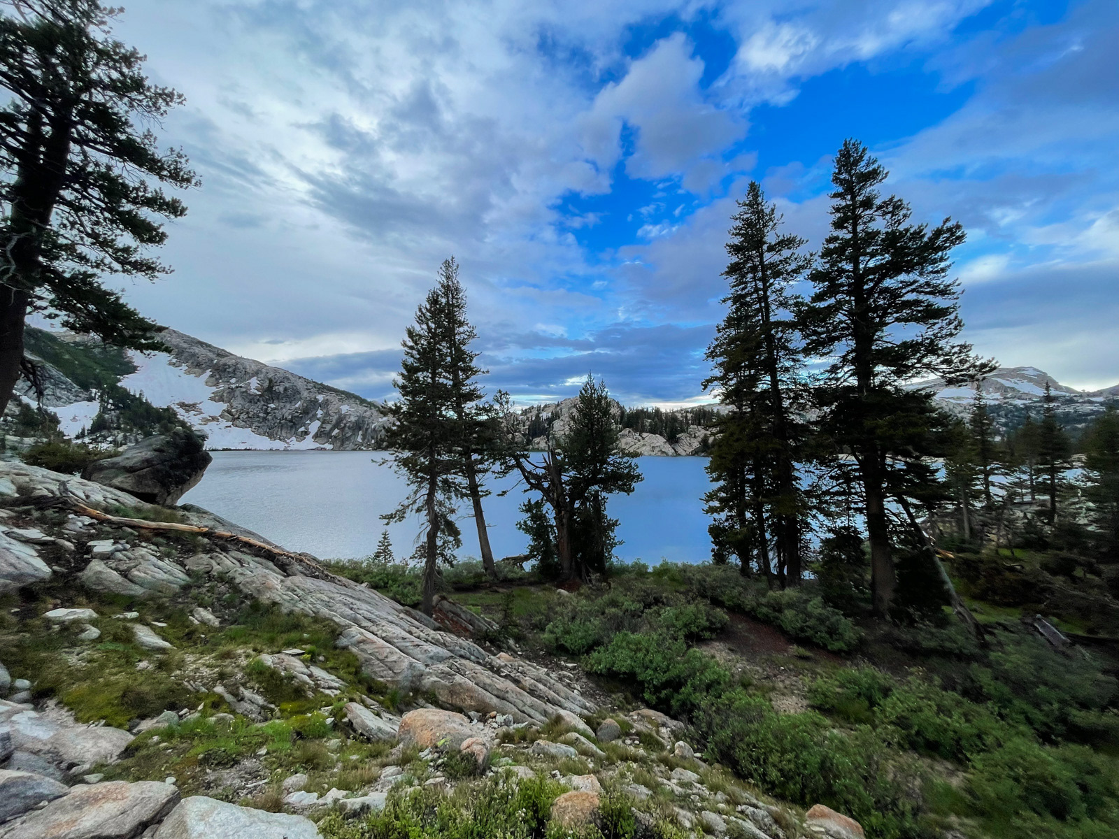
The trail to Peeler is quick and soon we were there. What a lake!
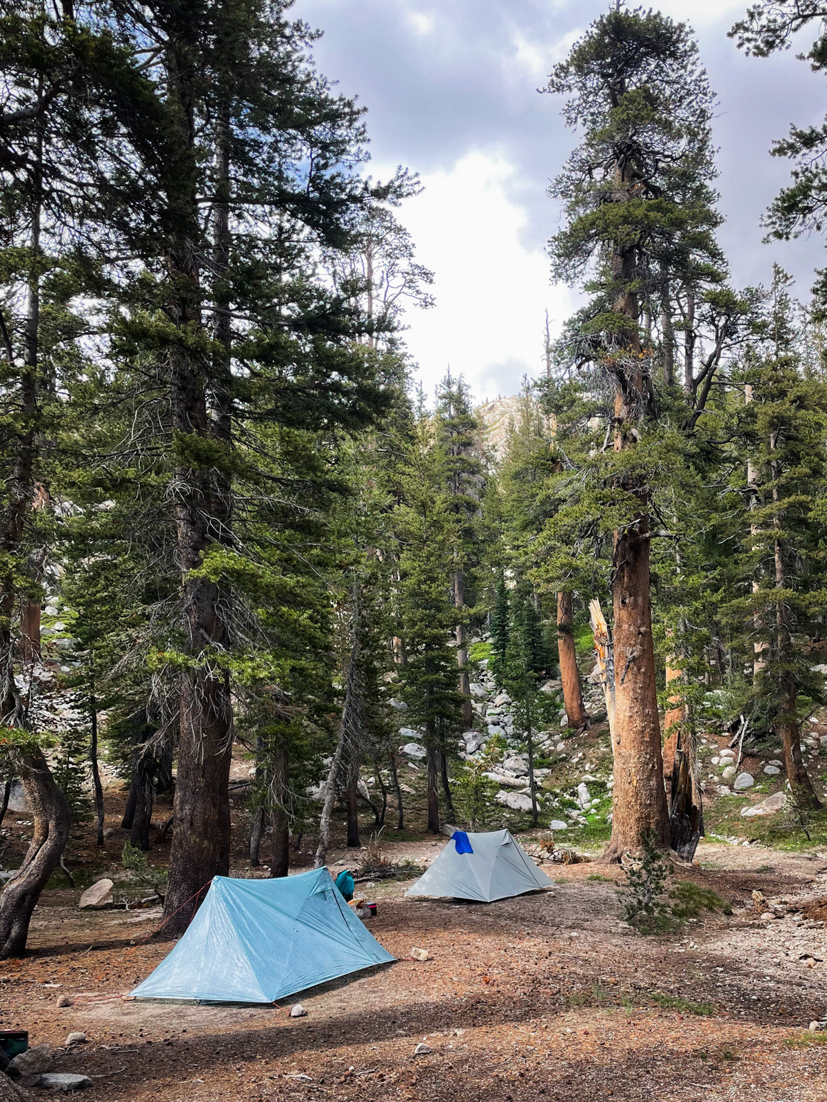
We set up at the main camping area on the north end of the lake, where we were soon joined by two other hikers.
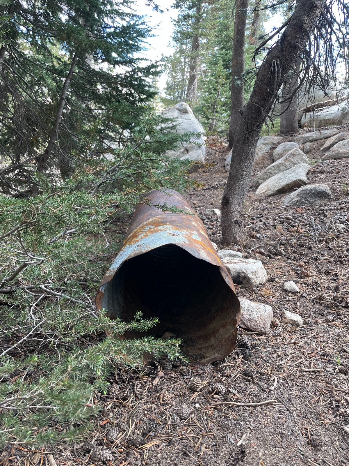
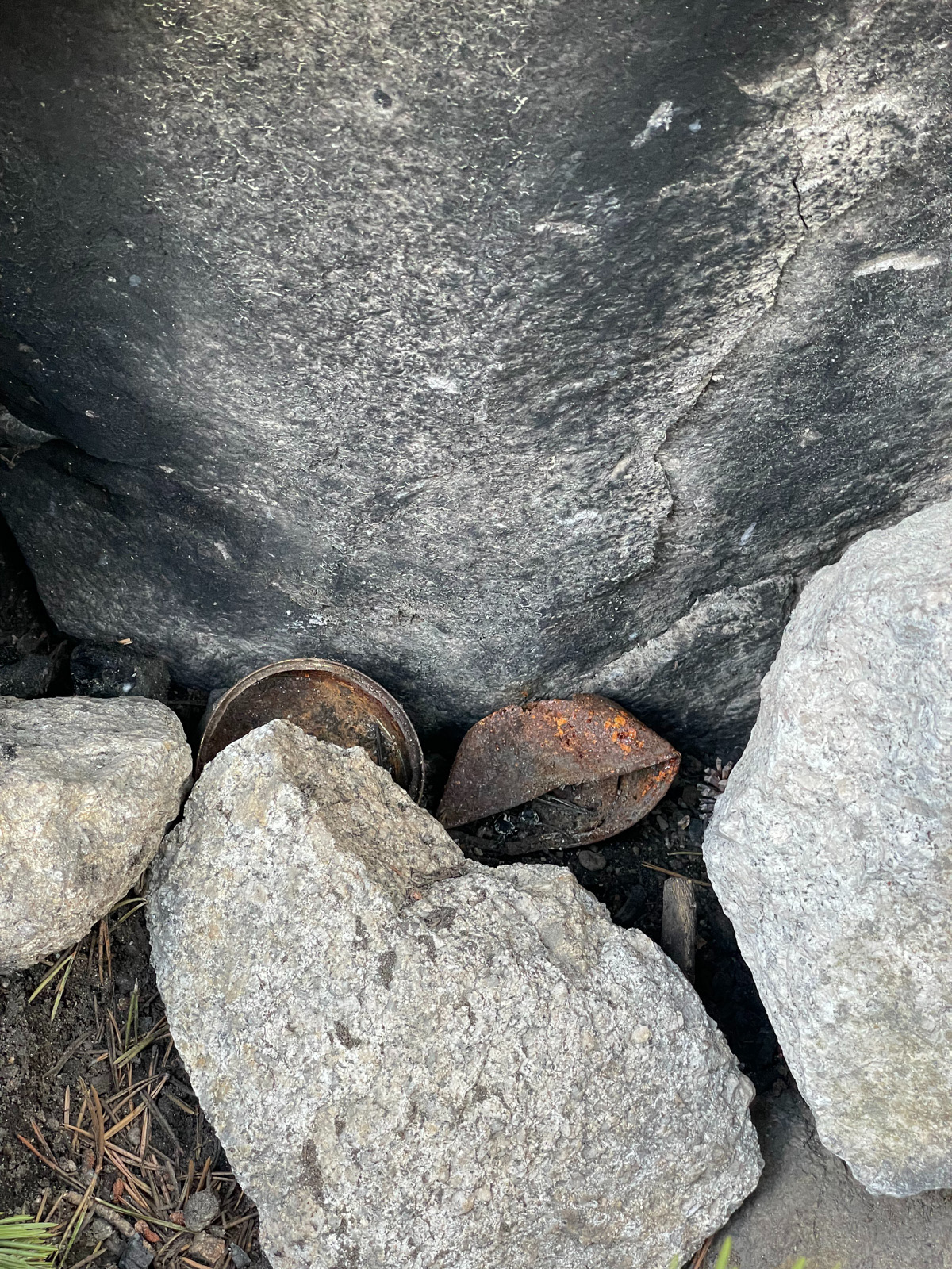
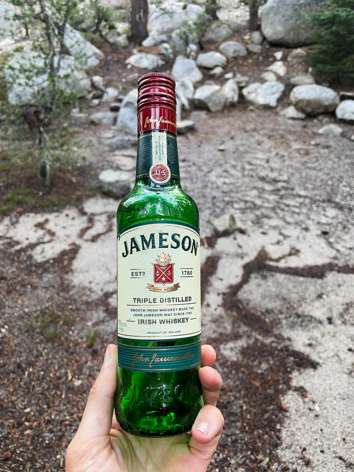
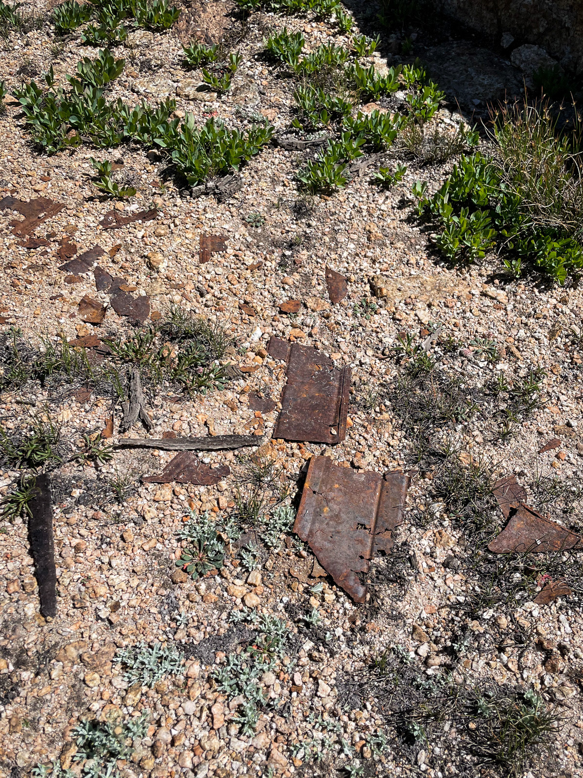
Peeler is beautiful and easy to get to, so it’s pretty damn impacted: macaroni in the lake, old cans in a fire pit, a large pre-LNT rusted out pipe, and a heavy, glass liquor bottle, which we packed out.
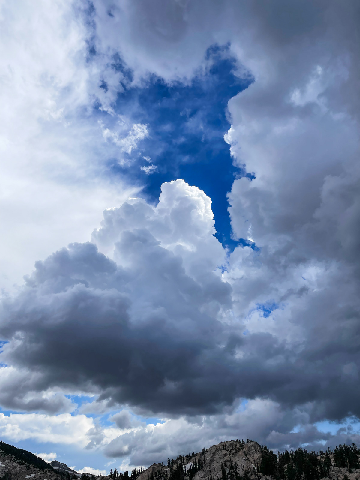
Clouds and darkness were building to our north and south but seemed to skirt us heading west, toward Thompson Canyon and beyond. Distant thunder rang out now and then. We sat on rocks by the lake and watched the world swirl around us.
The weather kept circling us but leaving Peeler alone.
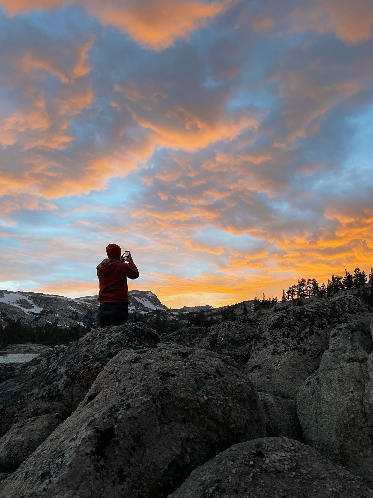
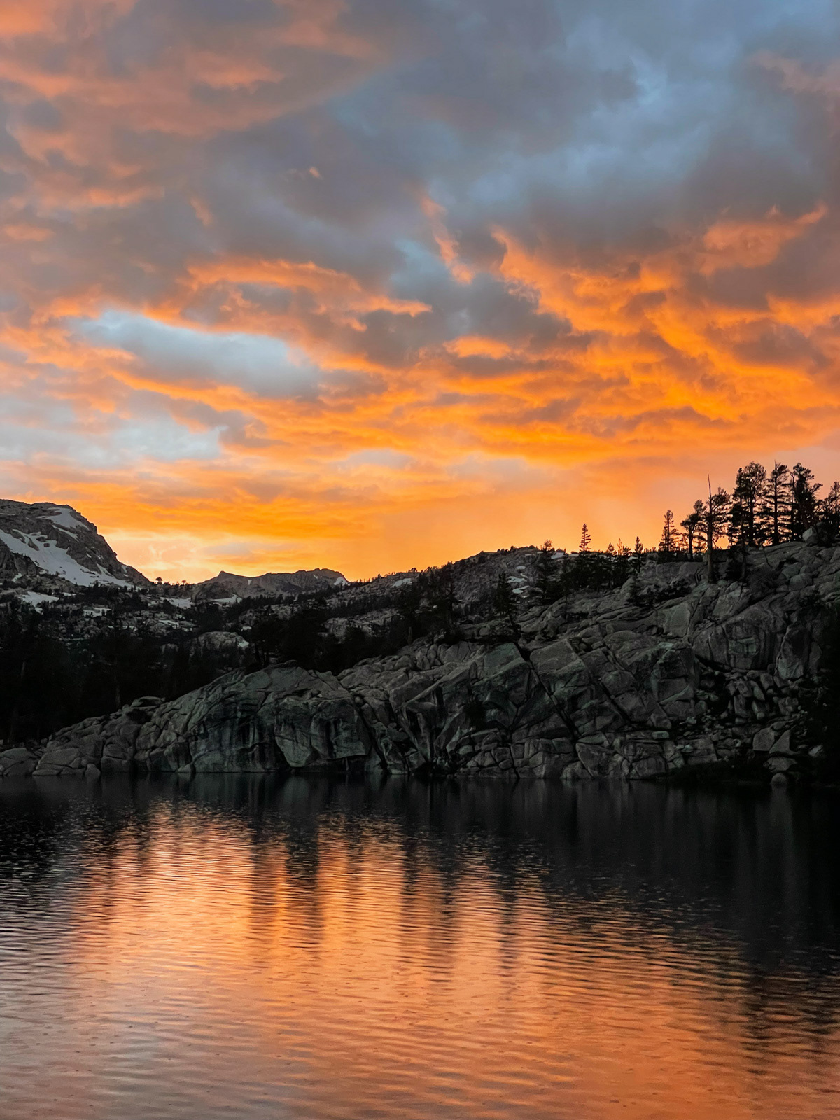
It drizzled at dinner, but eased off enough for a beautiful sunset.
The Sierra gods had really wanted to rain on our heads all evening, and the skies finally opened up for the entire night – from 10 PM straight through until 6:30 AM.
I slept terribly. Fortunately, the rain stopped for good just as we were ready to pack up, which we did by 7 AM. It was a great surprise to not pack up in the rain.
Eventually we popped out at the trail junction and ran into a large group of older hikers wearing huge, bee keeper-style headnets (?).
We kept moving pretty quickly, as the sky alternated between drizzle and sun.
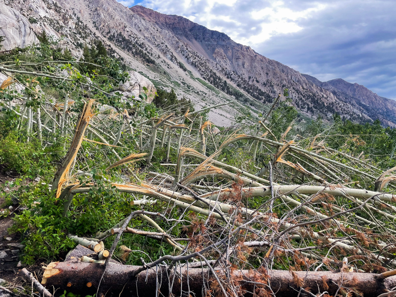
At Barney, we admired the huge avalanche damage from the previous winter. Somehow we hadn’t noticed it on the way in!
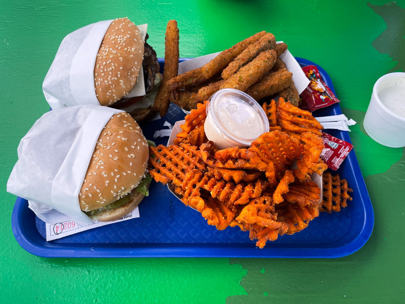
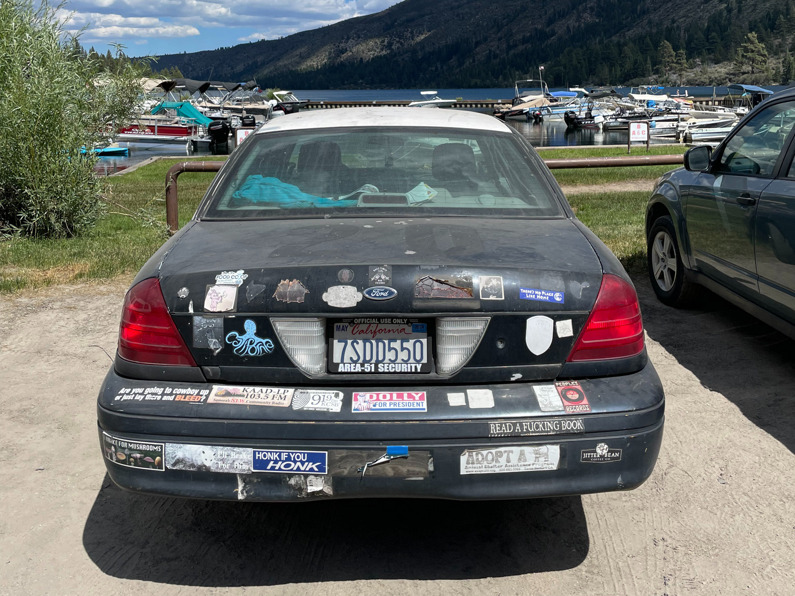
And back out we came to MAGA-scented Mono Village, then Bridgeport’s Burger Barn, and another woozy drive home.