August 20-24, 2019
We spent a night at Lodgepole, picked up our permit when the office opened at 7 AM, and were hiking out of Wolverton by 9. Soon the day hikers melted away and we were alone.
The first few miles were heavily forested and a bit of a slog by Sierra standards, but at Panther Gap the entire southwestern edge of the High Sierra came into view at once.
Mediocre views of boring mountains along the High Sierra Trail.
Somewhere west of 9 Mile Creek, I startled a small bear grazing by the trail -- my first Sierra bear! At first I thought it was a baby, and wheeled around looking for its mother. But on closer inspection, this bear looked a bit larger (a teenager?) and I watched it amble off with no adult in sight.
We camped at Buck Creek (where we saw another bear loping along the impossibly steep hillside across the creek). The next morning we took the “higher trail” that winds above the High Sierra Trail (confusing). It was extremely steep and sloggy until finally leveling out and opening up into infinity views to the south.
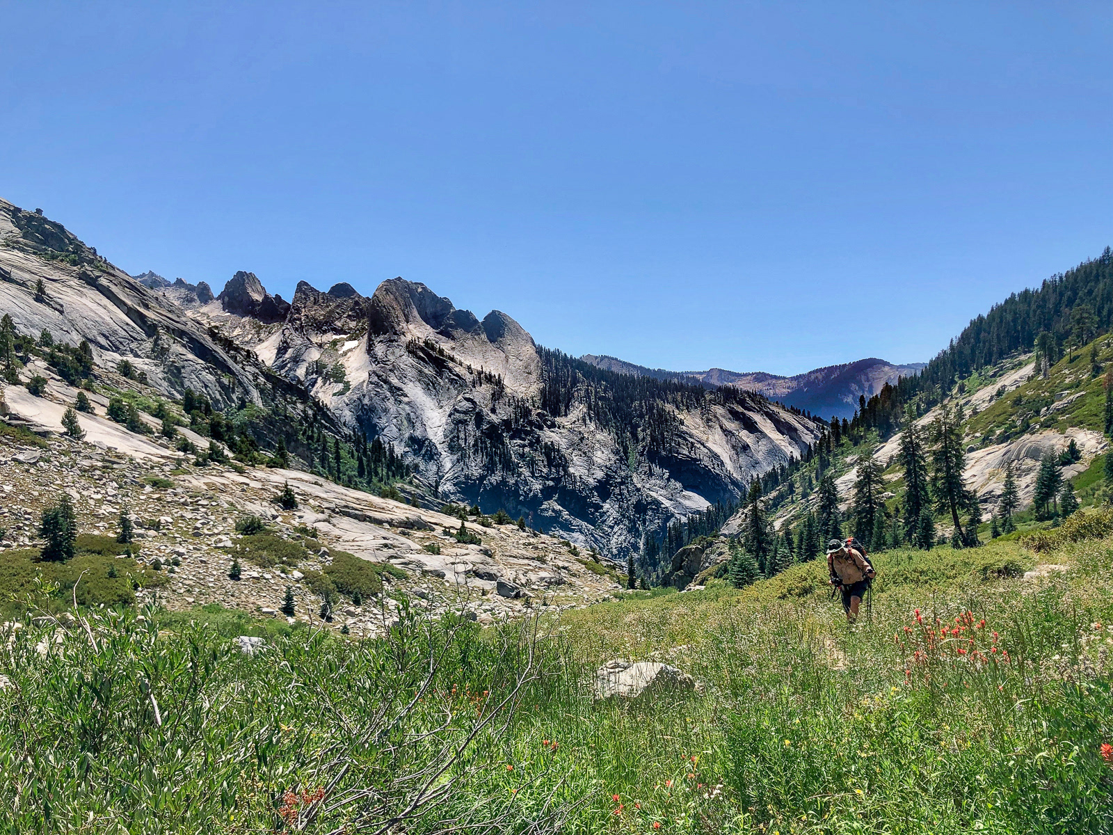
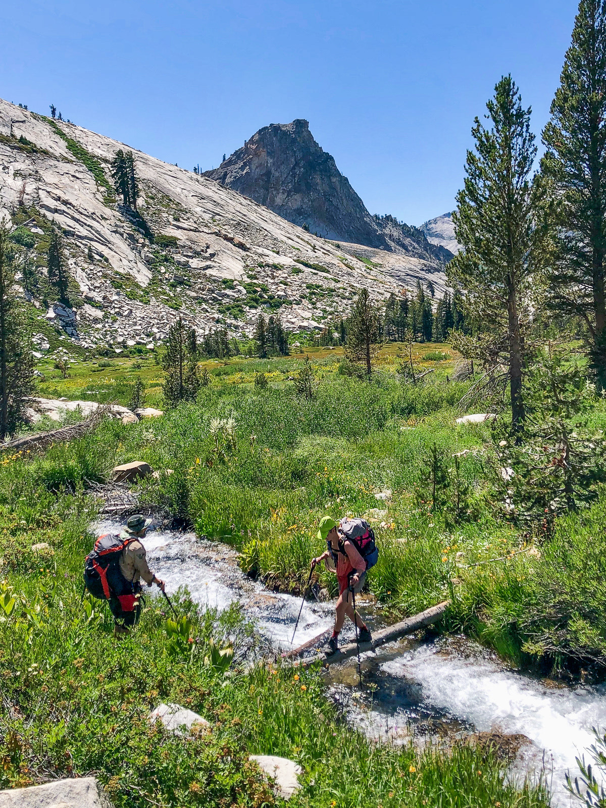
We headed north on trail towards Tamarack Lake. The climb seemed to take forever. This was somehow the hardest 5 mile day of my hiking life.
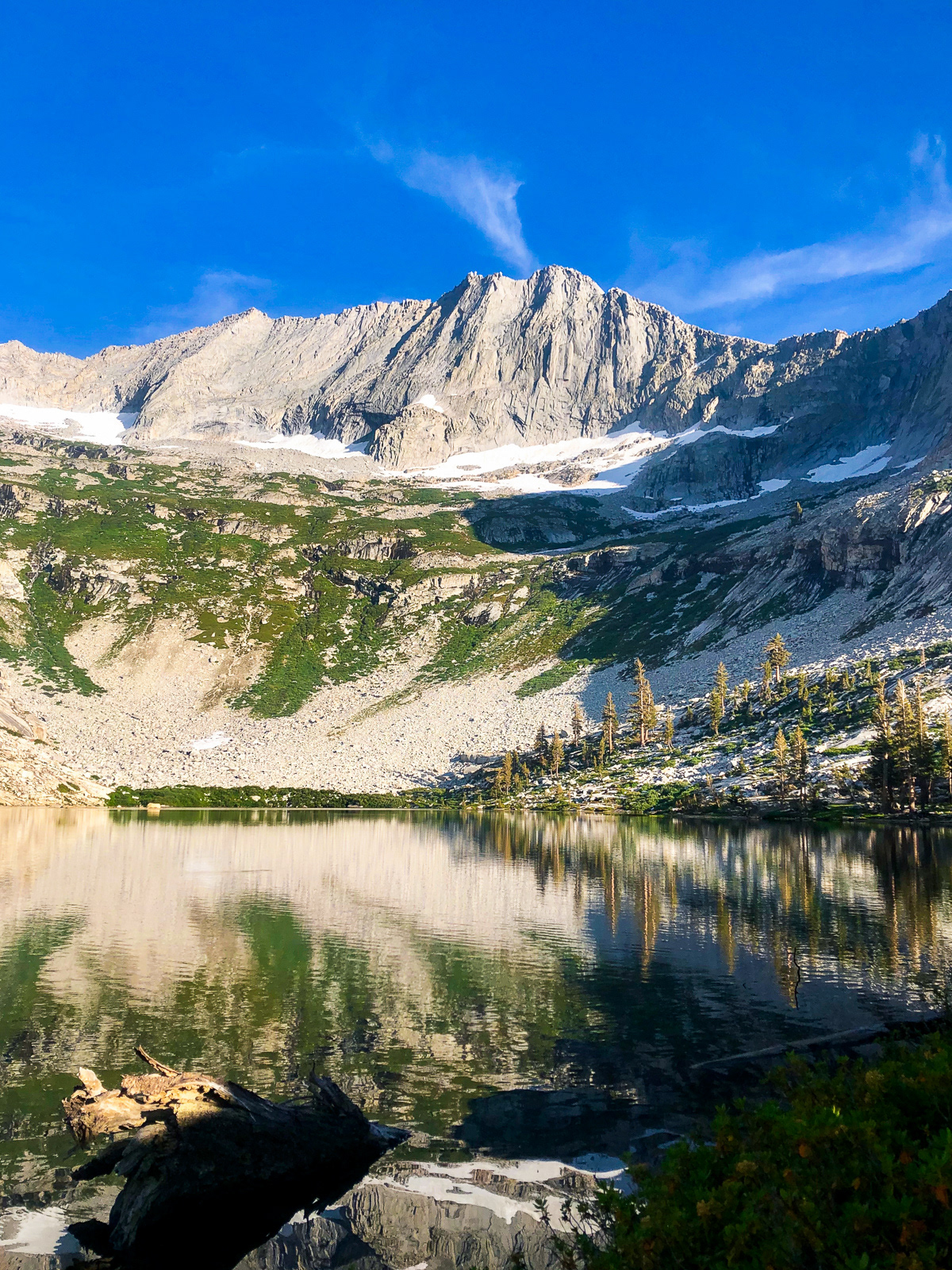
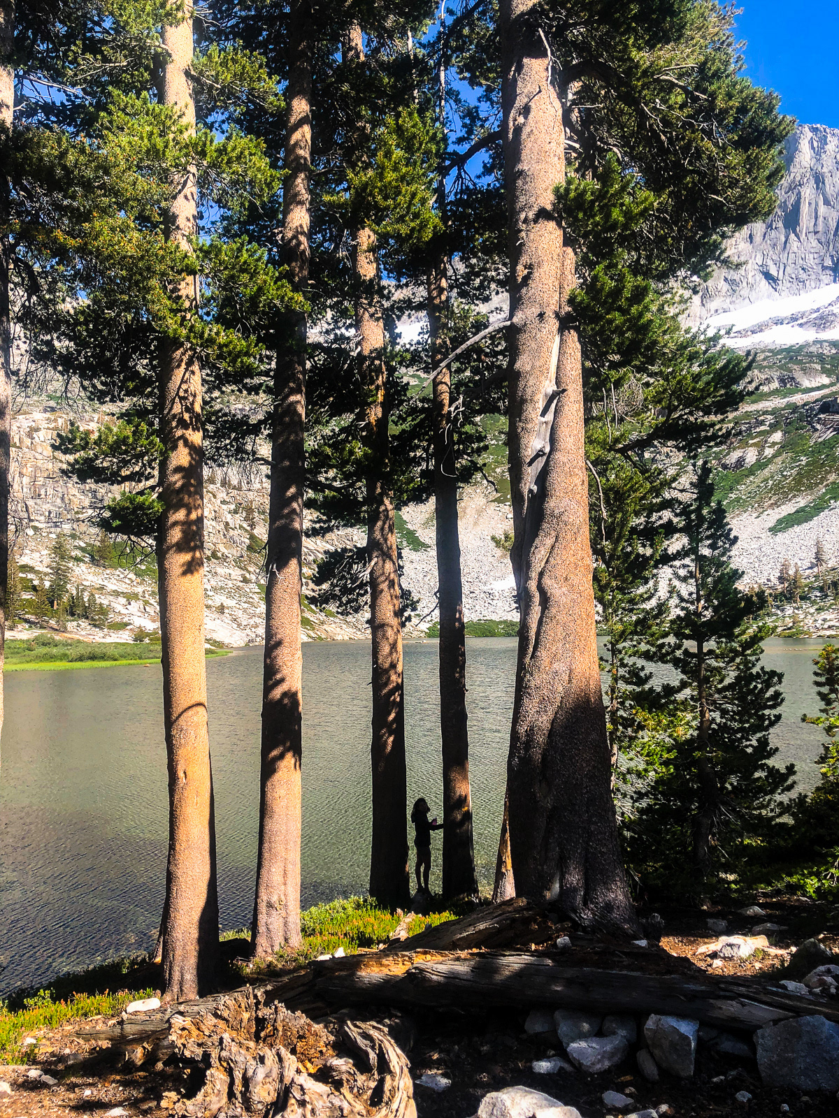
Tamarck Lake is OK I guess!
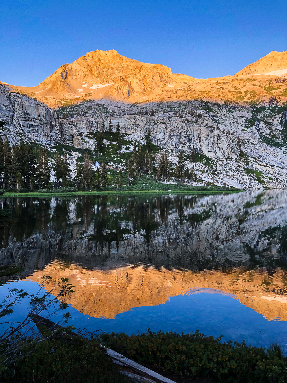
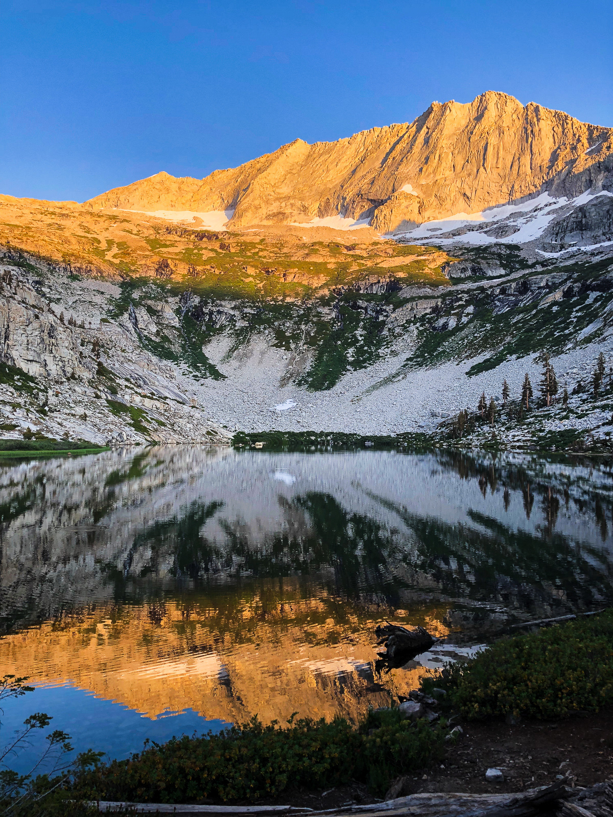
Two great blue heron’s call Tamarack home. These mofos were huge! At one point I was standing in the lake taking in the absurd, impossible grandeur of the place, a reverie broken only when one of the heron's flew past and carpet bombed the lake with bird poop. We surely drank it in microscopic quantities later.
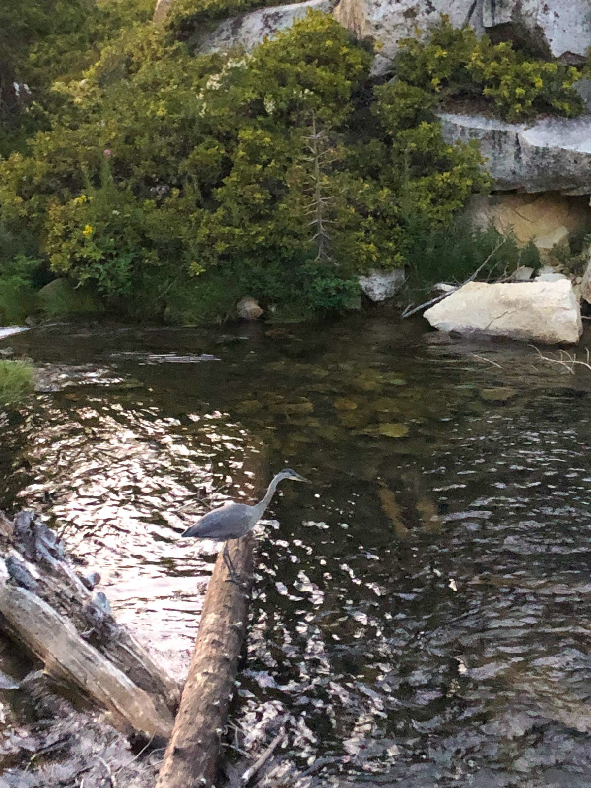

Near dusk, we happened upon one of the heron's fishing at the lake’s outlet. It spent 10 minutes intensely focused on the water and then gobbled a fish whole. It paid us 0.0% attention.
The next morning, we retraced our steps on the somewhat faint Tamarack trail before climbing towards Elizabeth Pass. The trail was eroded and hot, but mildly graded. We passed two hikers descending the pass -- the last people we’d see for two and a half days.
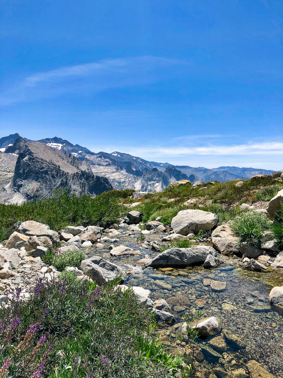
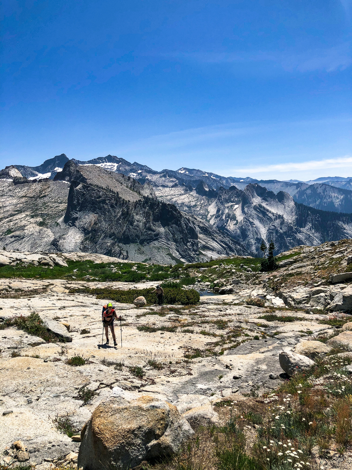
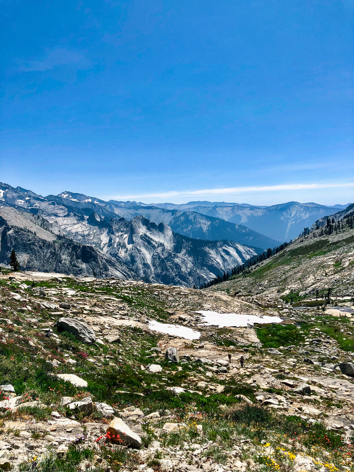
Lonely Lake’s (beautiful) outlet stream was our cue to leave the trail and head cross country up a stunning valley. The climb was technically easy, but steep and truly never ending. The wildflowers were bananas.
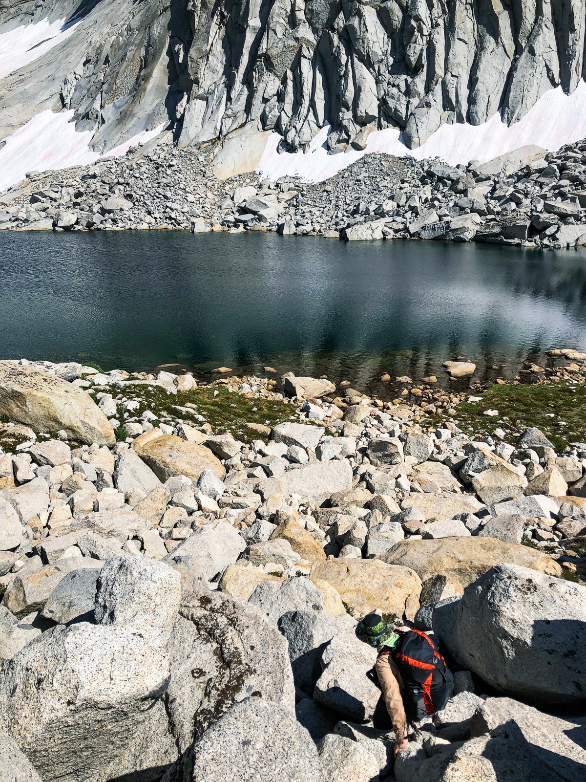

We finally topped out at Lonely Lake and spent a while working our way around its rocky, convoluted western shore. Someone had beat us to Lonely's famous beach, though.
The lake is phenomenal.
And so is the colossal formation towering above it: Horn Col.
We took a dip, ate dinner, and at dusk headed over to the cliffs overlooking Big Bird Lake.
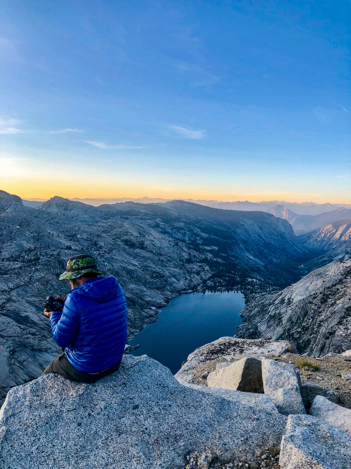
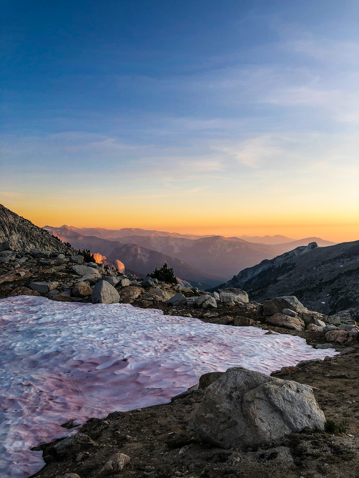
Another bullshit night in suck city.
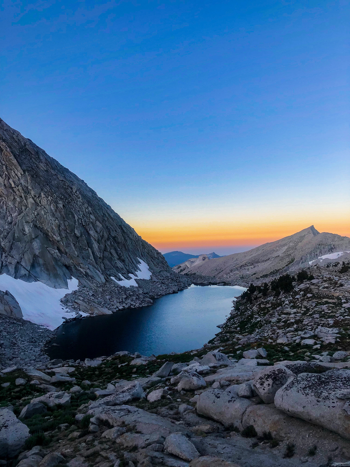
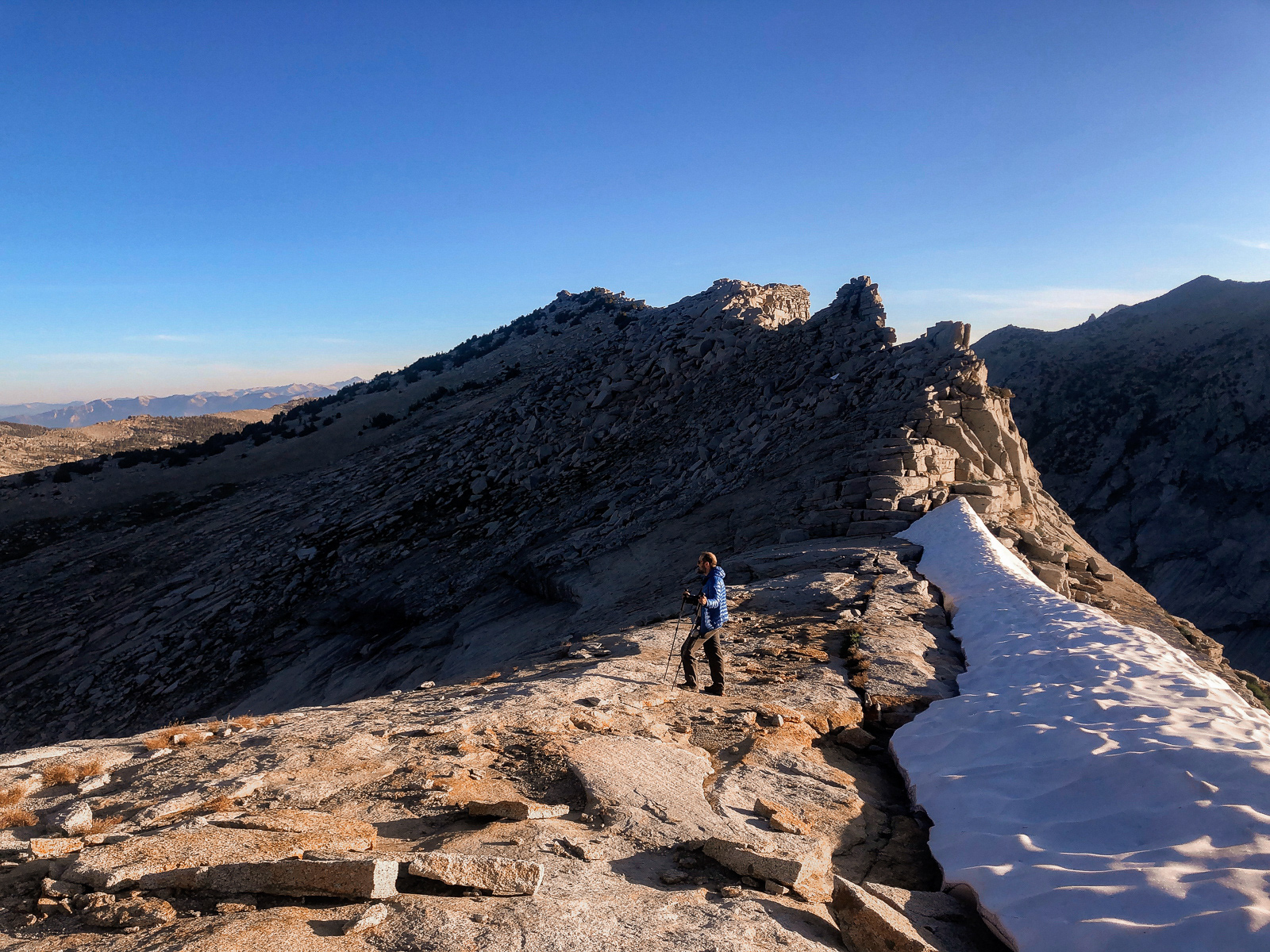
The next morning, we woke early to take a closer look at the incredible Horn Col.
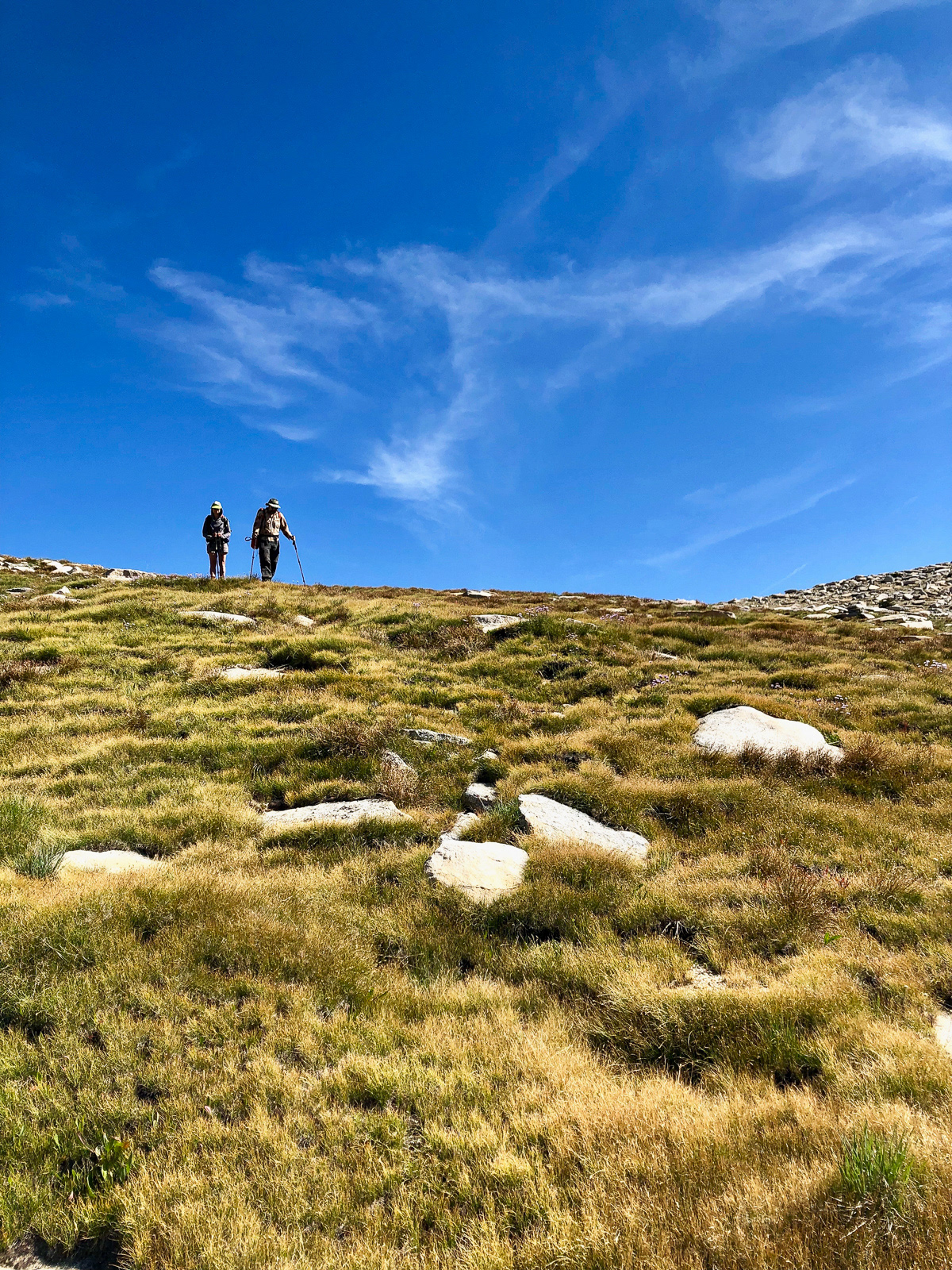
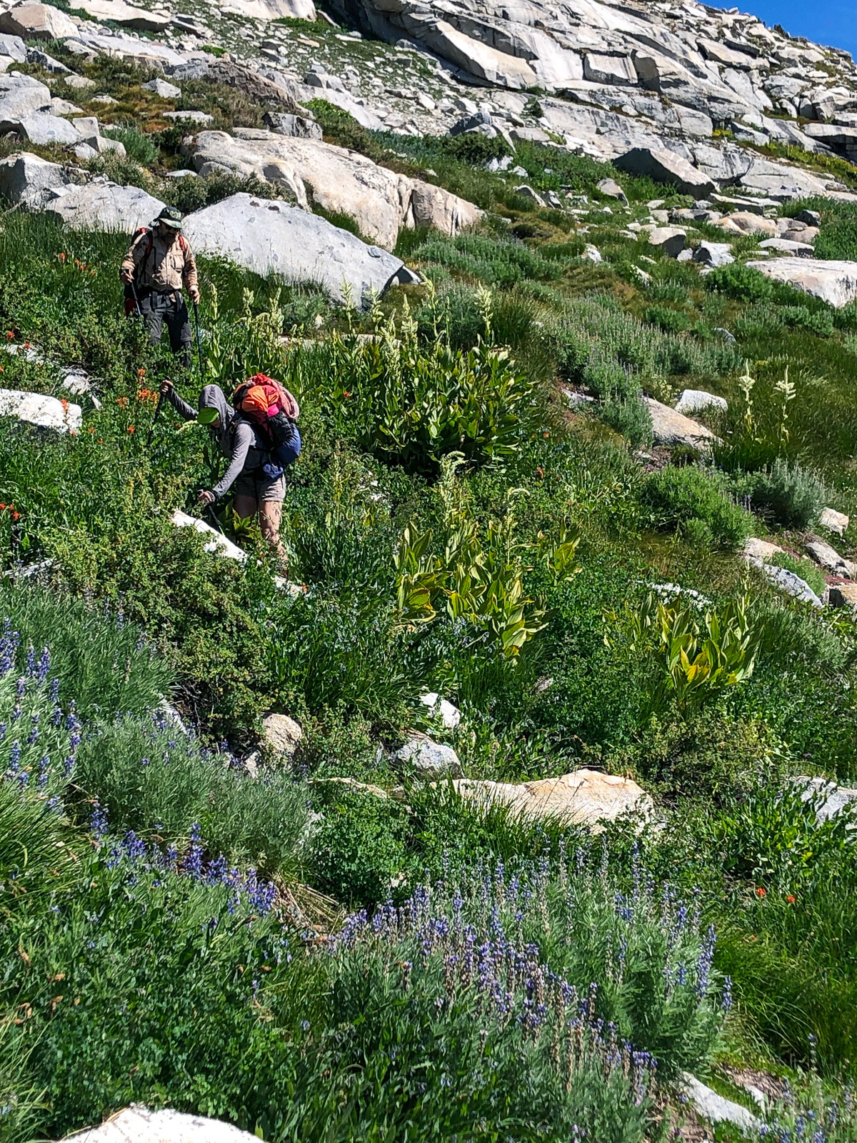
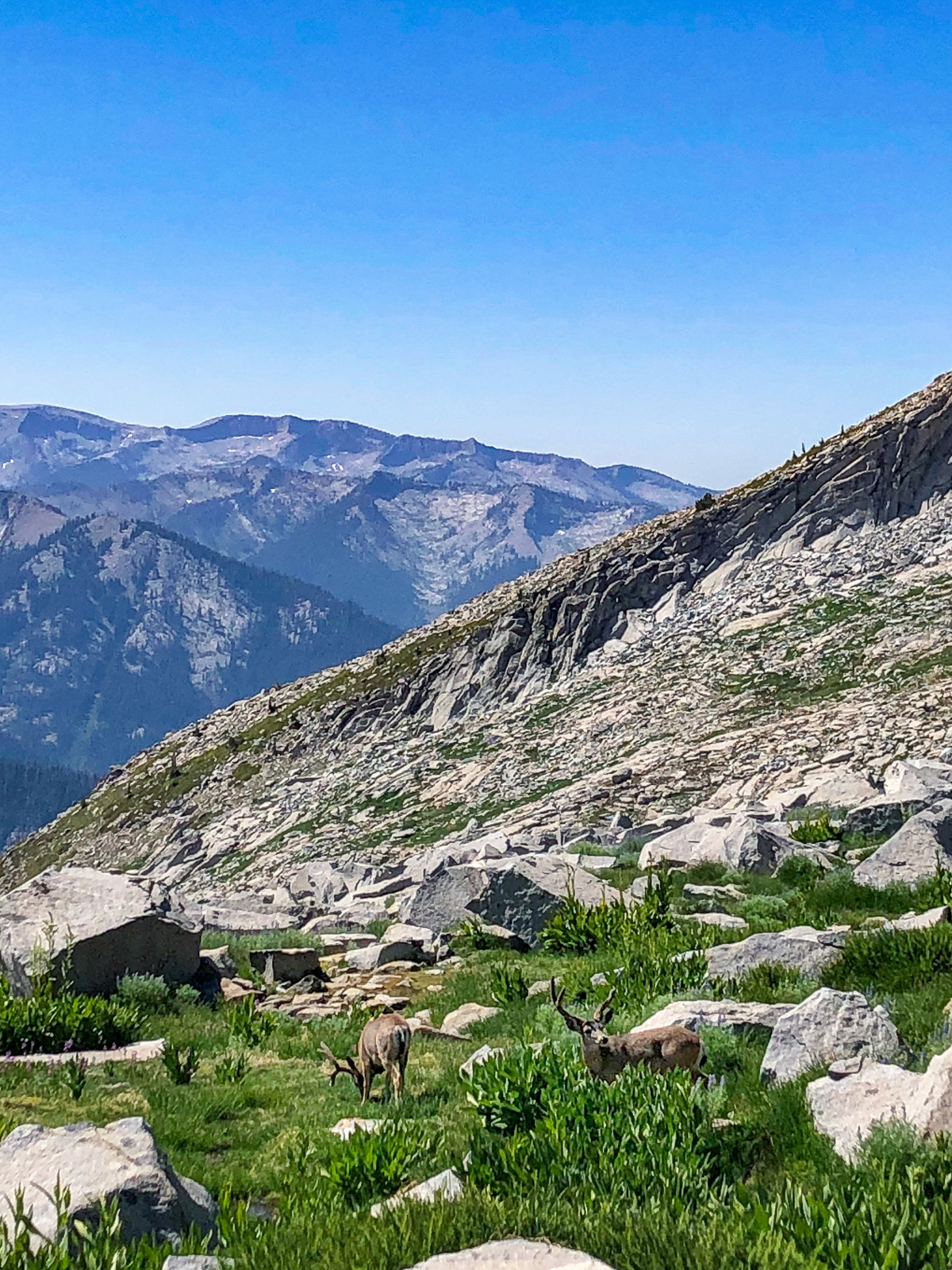
We returned to camp, packed up and headed the other direction, toward Pterodactyl Pass. We contoured around the valley’s massive northern bowl, running into some impressive bucks before ascending steep slabs to the pass. The far (west) side of the pass held the Tablelands, our trip's ultimate destination. But the landscape was a bit of a let down, at least from the pass - it looked stark and flat, a sea of undifferentiated granite. I didn’t take a photo.
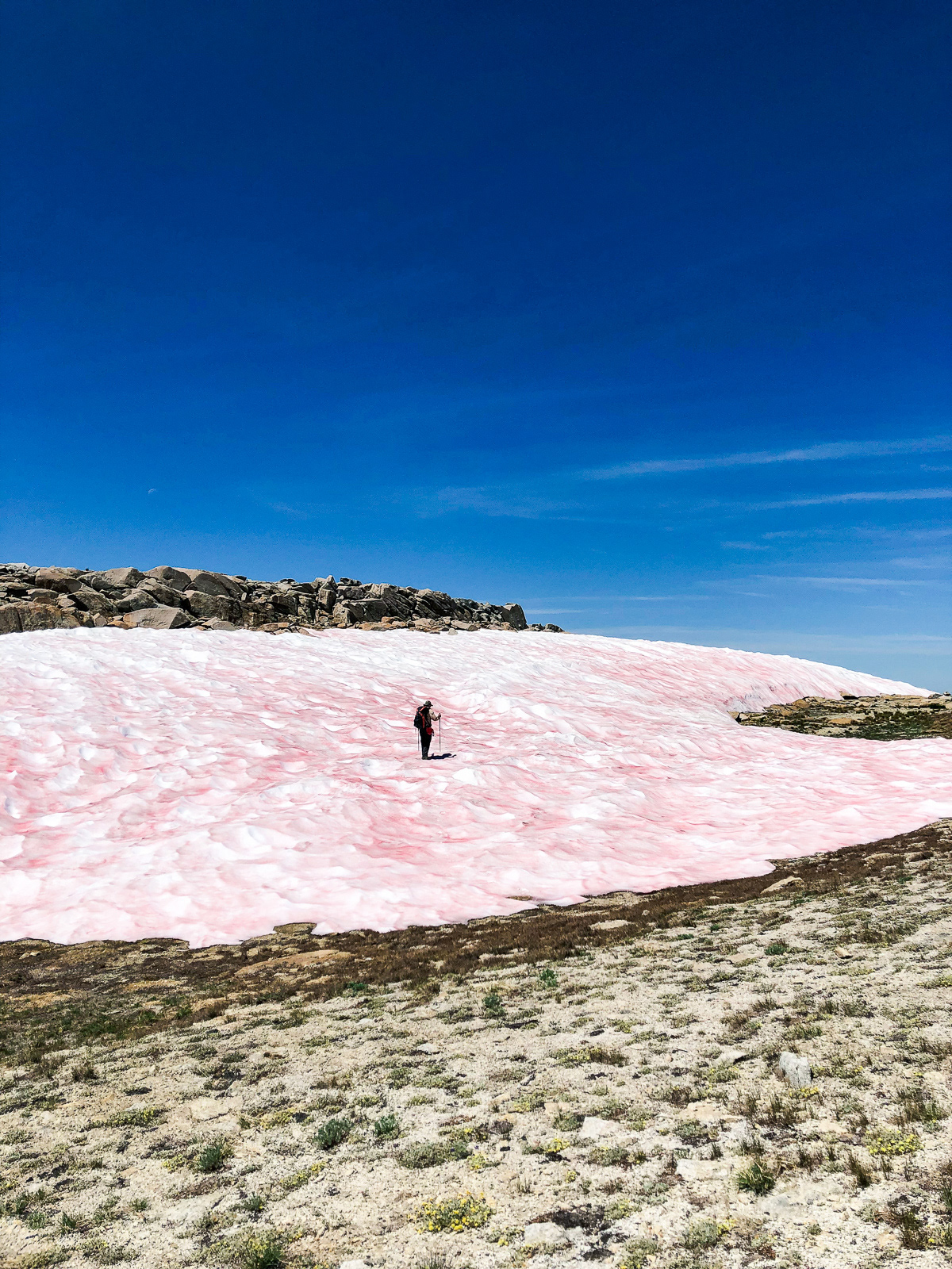

Up at 11,000 feet, the winter’s huge snowpack was still melting off (with lots of watermelon snow) and the mosquitos were truly absurd. Both of the rangers we’d spoken had warned us, but it was still shocking.
The route to Lake 11,200 isn’t hard, but I kept wobbling too far east and getting hung up in micro topography. The lake is exceptional -- seemingly at the very top of the world.
It held a massive snowfield, still 15 feet thick at the end of August.
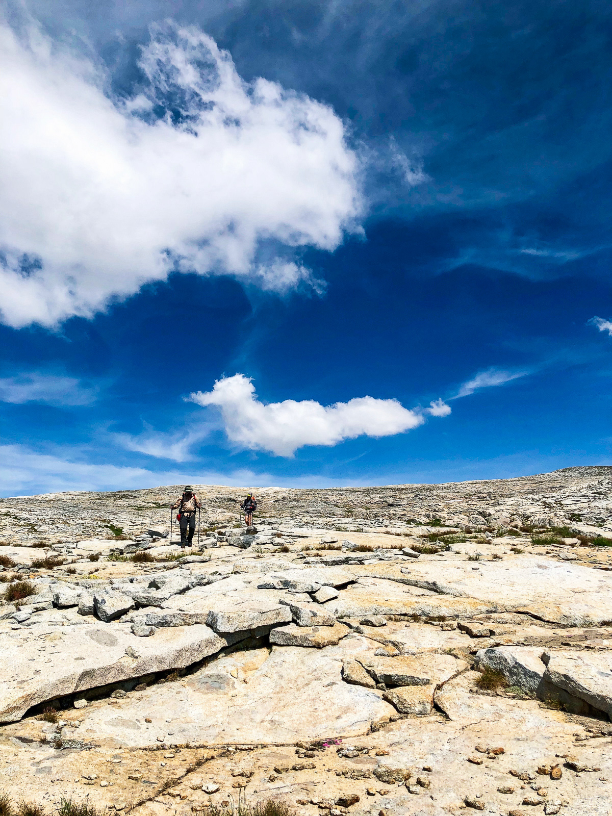
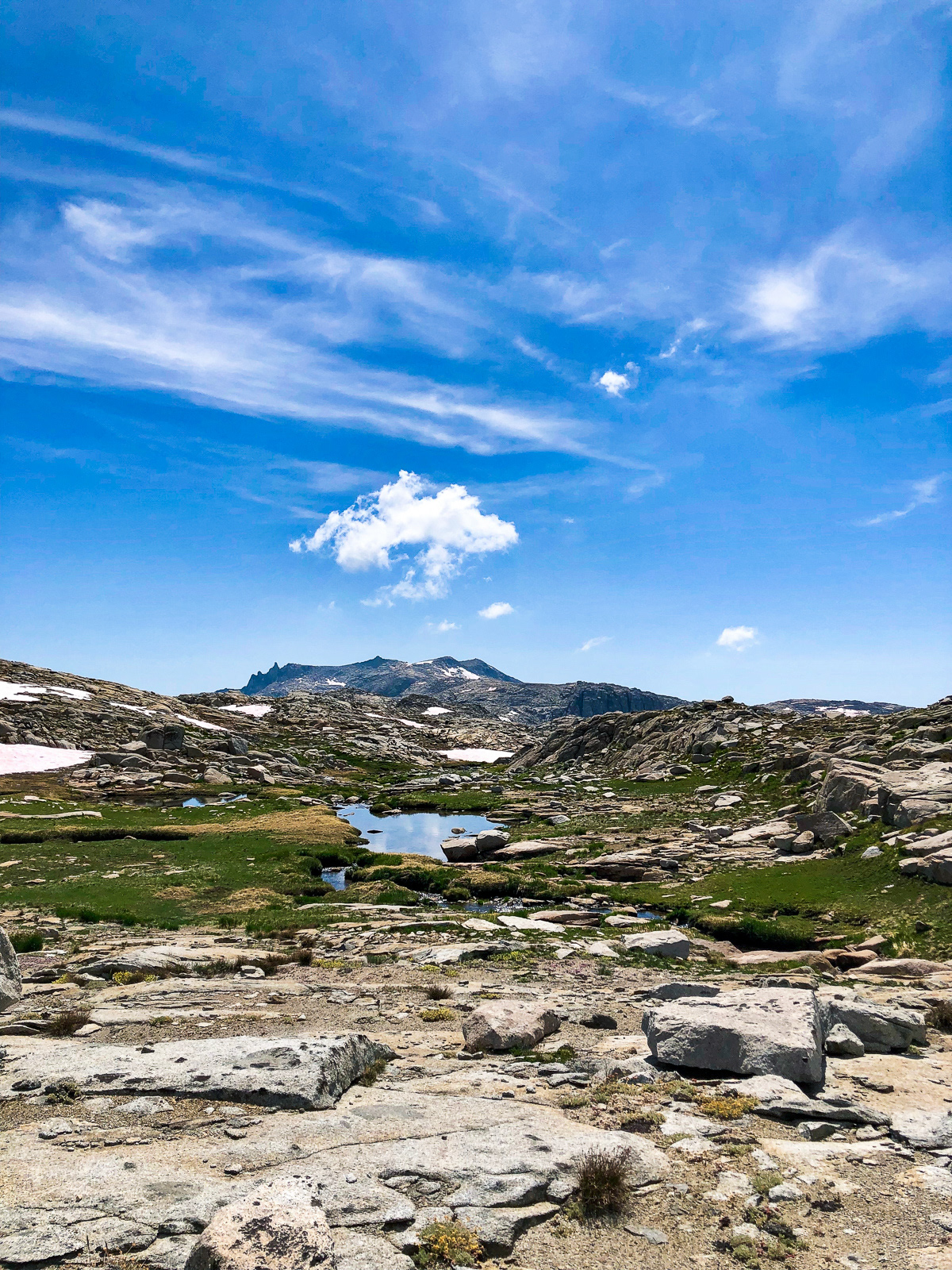
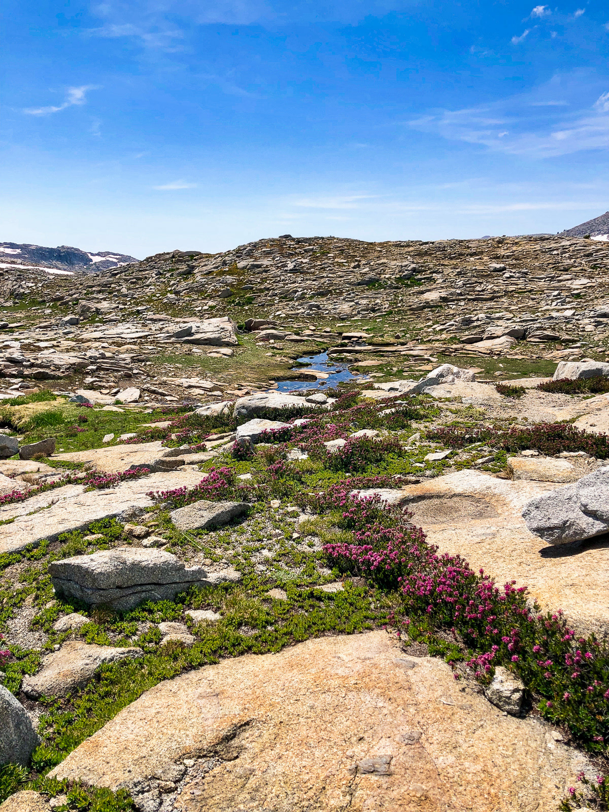
After a long break, we headed west through the heart of the Tablelands. Snow was melting, mosquitos were buzzing, and my lack of sleep the night before had caught up to me. I didn’t enjoy this afternoon as much as I could’ve.

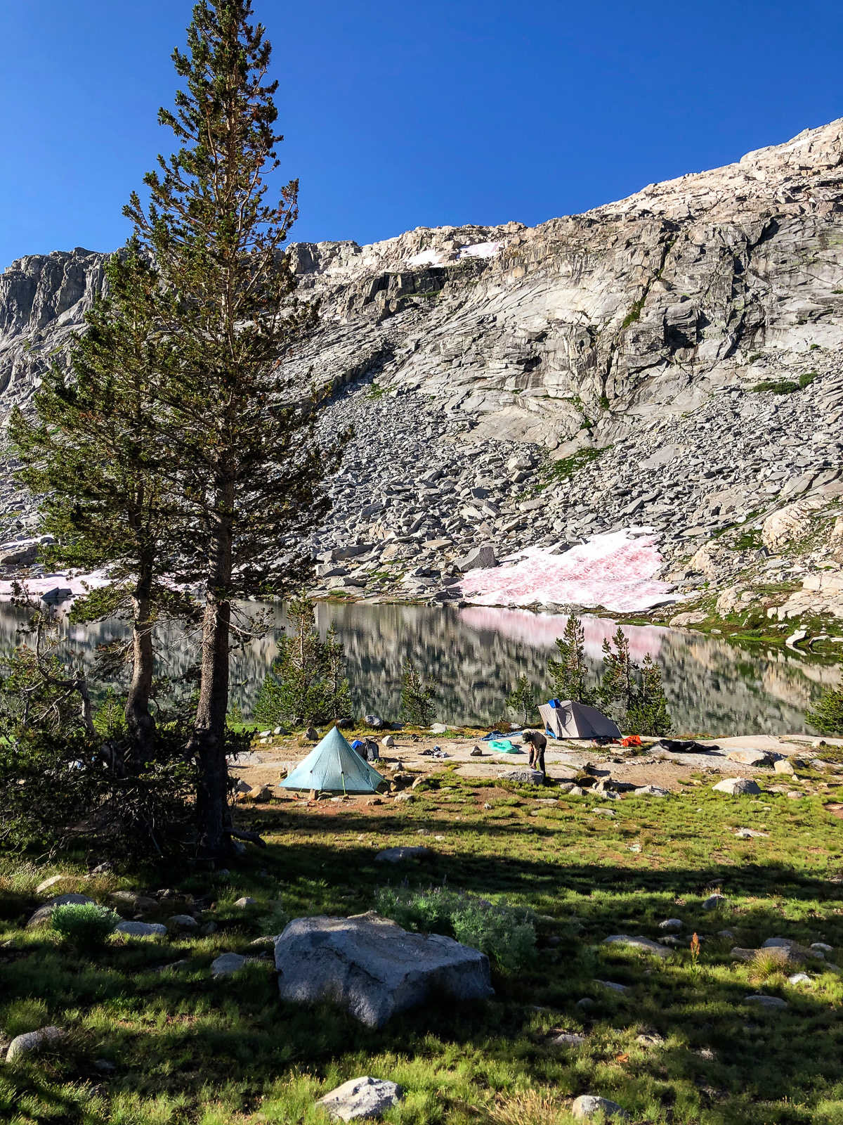
Eventually we made it to this weird rock, and to beautiful Table Meadows Lake beyond it.

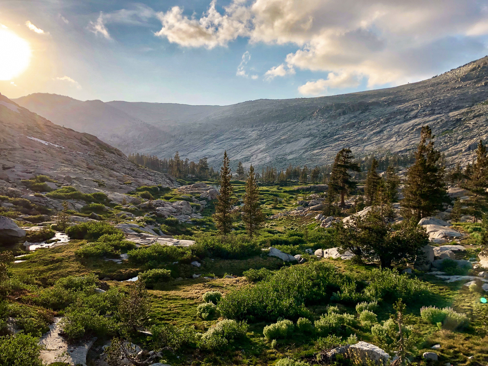
Evening.
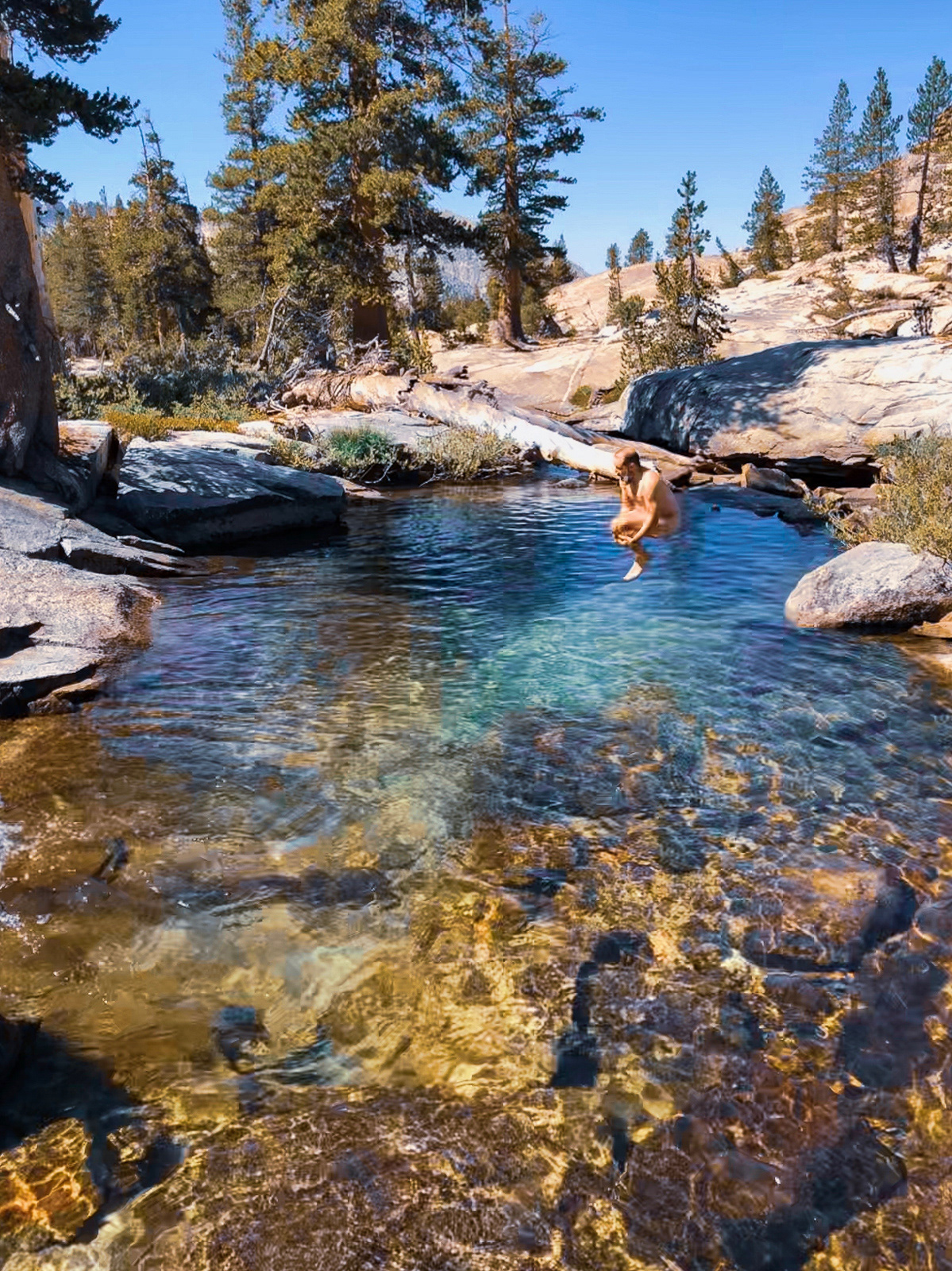
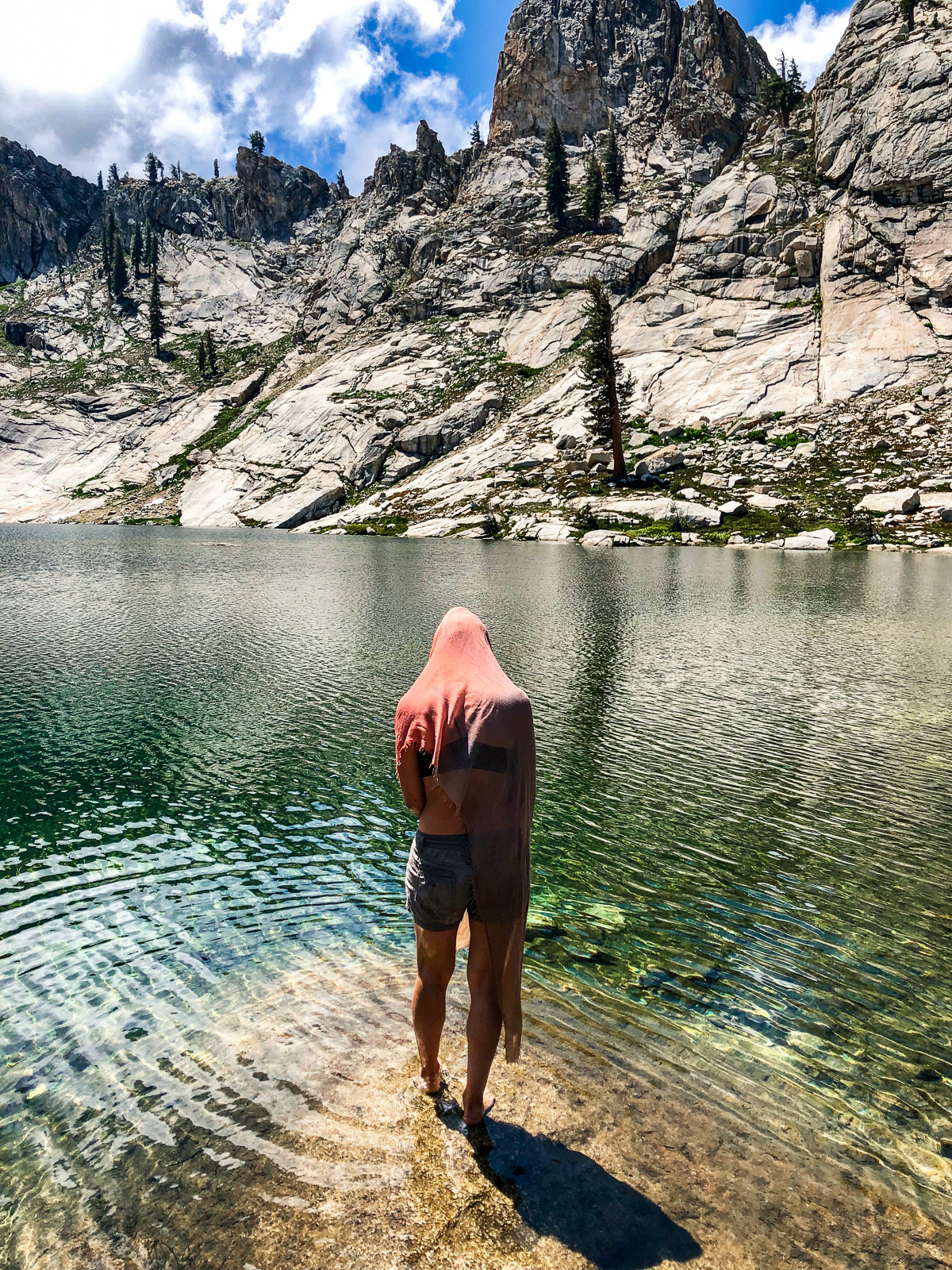
I didn’t take many photos the next day, but our walk through Table Meadows was exceptional. We took one last dip before climbing the the slabby saddle overlooking Pear Lake, at whose shore we found ourselves back in the company of the rest of the hiking world. Then it was 6 miles back to the car (via the Watchtower), a drive to Fresno for sushi, and home again.
For the nerds:
Wolverton > High Sierra Trail > Tamarck Lake >
Elizabeth Pass Trail > Lonely Lake >
Pterodactyl Pass > Lake 11,200 > Table Meadows Lake >
Pterodactyl Pass > Lake 11,200 > Table Meadows Lake >
Pear Lake > Lake Trail (Watchtower) > Wolverton
