September 24-26, 2021
California was still on fire, and the customary late season trip was upon us. I’d been toying with a Tuolumne-based route focused on a traverse of the long and unusually flat ridge west of Parsons Peak, and this seemed like as good a time as any to give it a go.
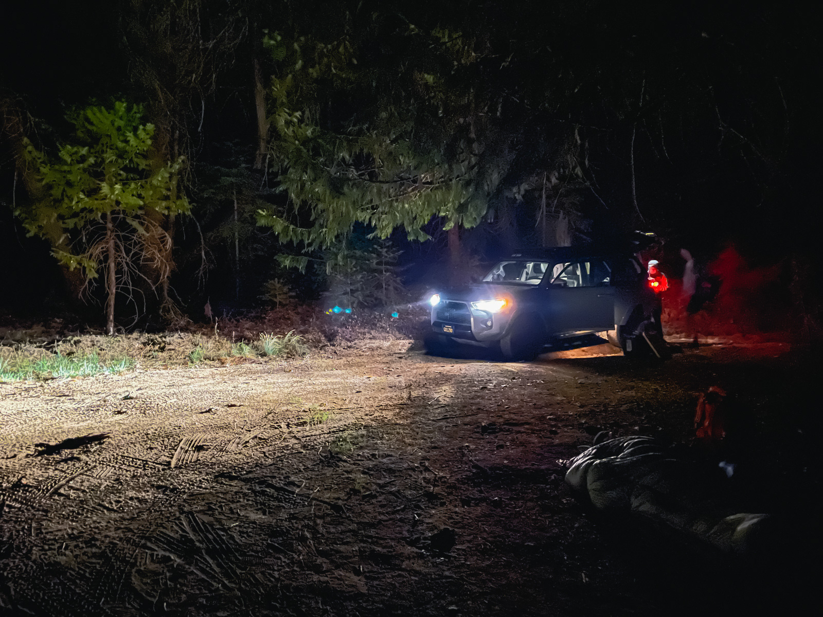
We drove into the evening and found a spot just west of the Yosemite entrance near midnight.
We were up by 6 AM. The air in western Yosemite looked terrible, but was relatively clear at Tuolumne Meadows. We got our permit from a friendly ranger who delivered the standard Yosemite spiel (these are known to be longer and more detail-oriented than in the rest of the Sierra).
Towards the end, he added that mighty Lyell Fork will be seasonal within 40 years because its once-massive glacier is now a snowfield: meaning it doesn’t move under its own weight, and is disappearing. We would spend much of our final day traversing the long meadow that is fed by this former glacier.
He also mentioned that toxic algal beds are becoming more common in Yosemite lakes. It was bad news all around from the ranger, but he explained the situation with a matter of fact honesty that I appreciated. Ignoring or downplaying the rapidly changing conditions in the Sierra and elsewhere won’t make them go away.
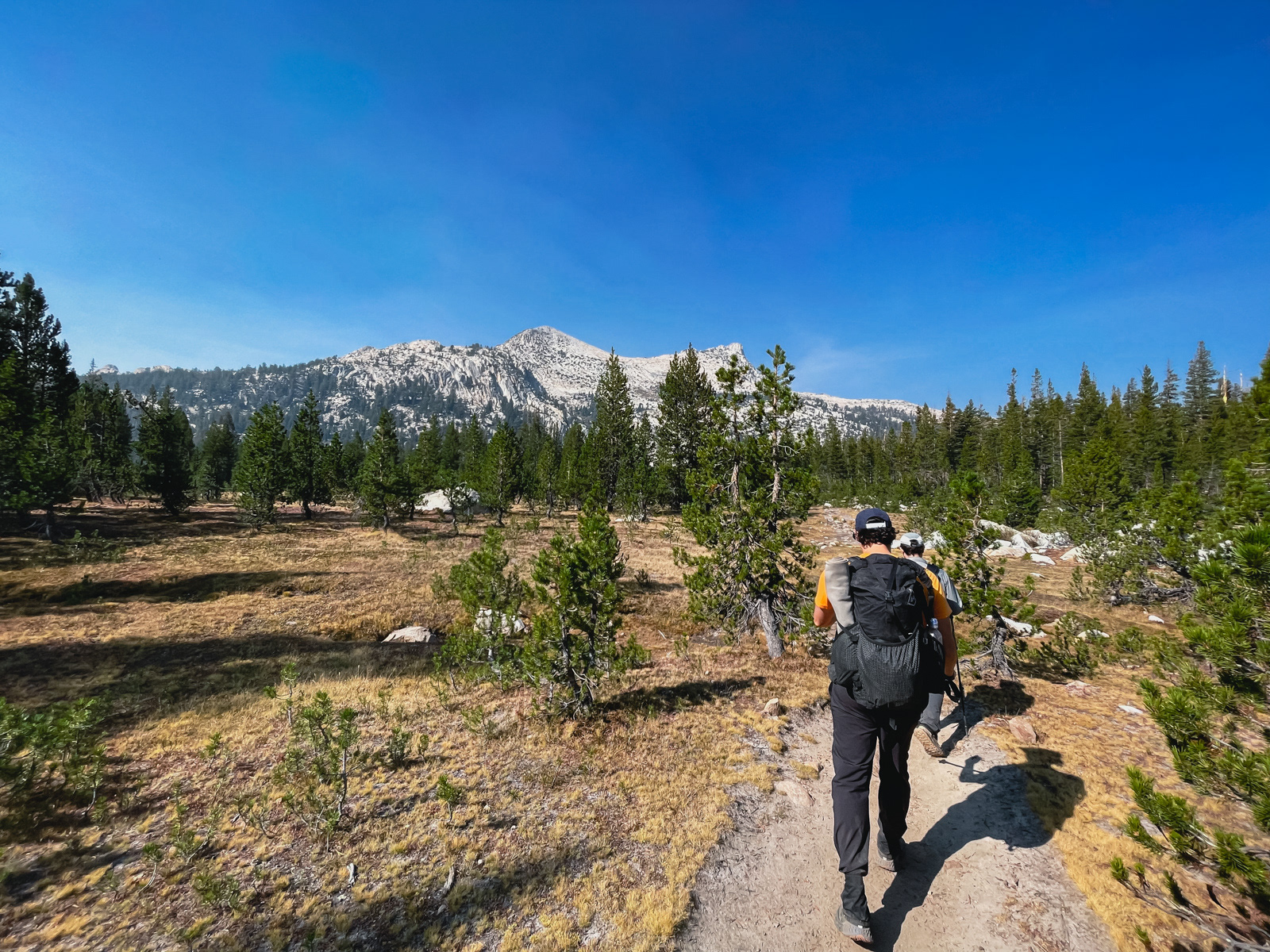
The clear air started to deteriorate the minute we started hiking. There is a PM 2.5 sensor at Tuolumne, and my wife would periodically update me on its readings throughout the weekend. At this moment, it was already at 140. The air quality would fluctuate between 100 and 150 throughout the weekend – probably not the best thing for our lungs, and hopefully not the worst.
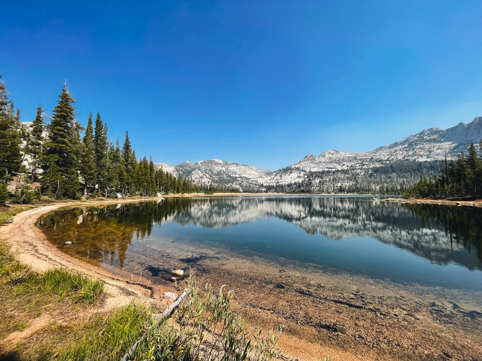
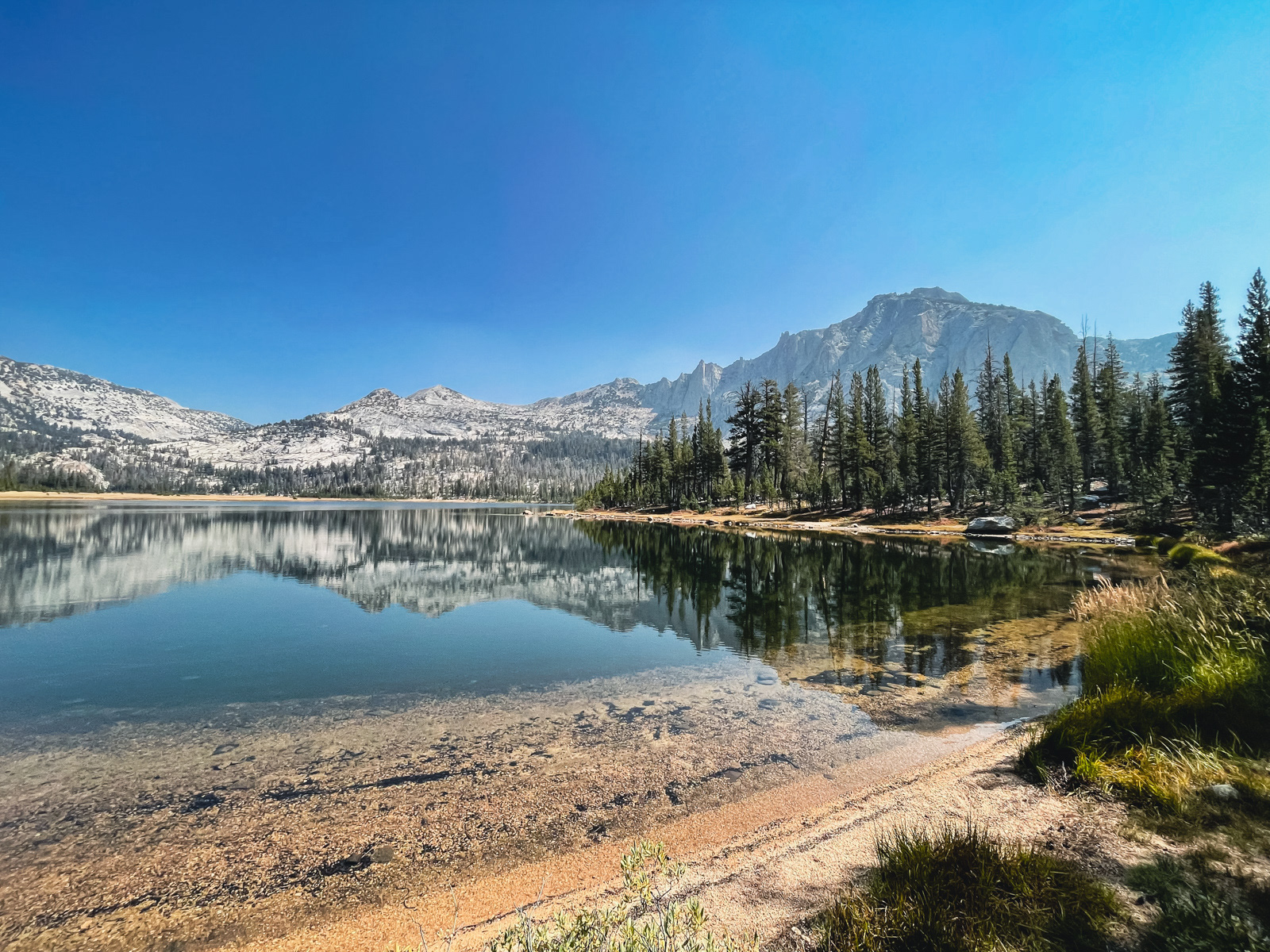
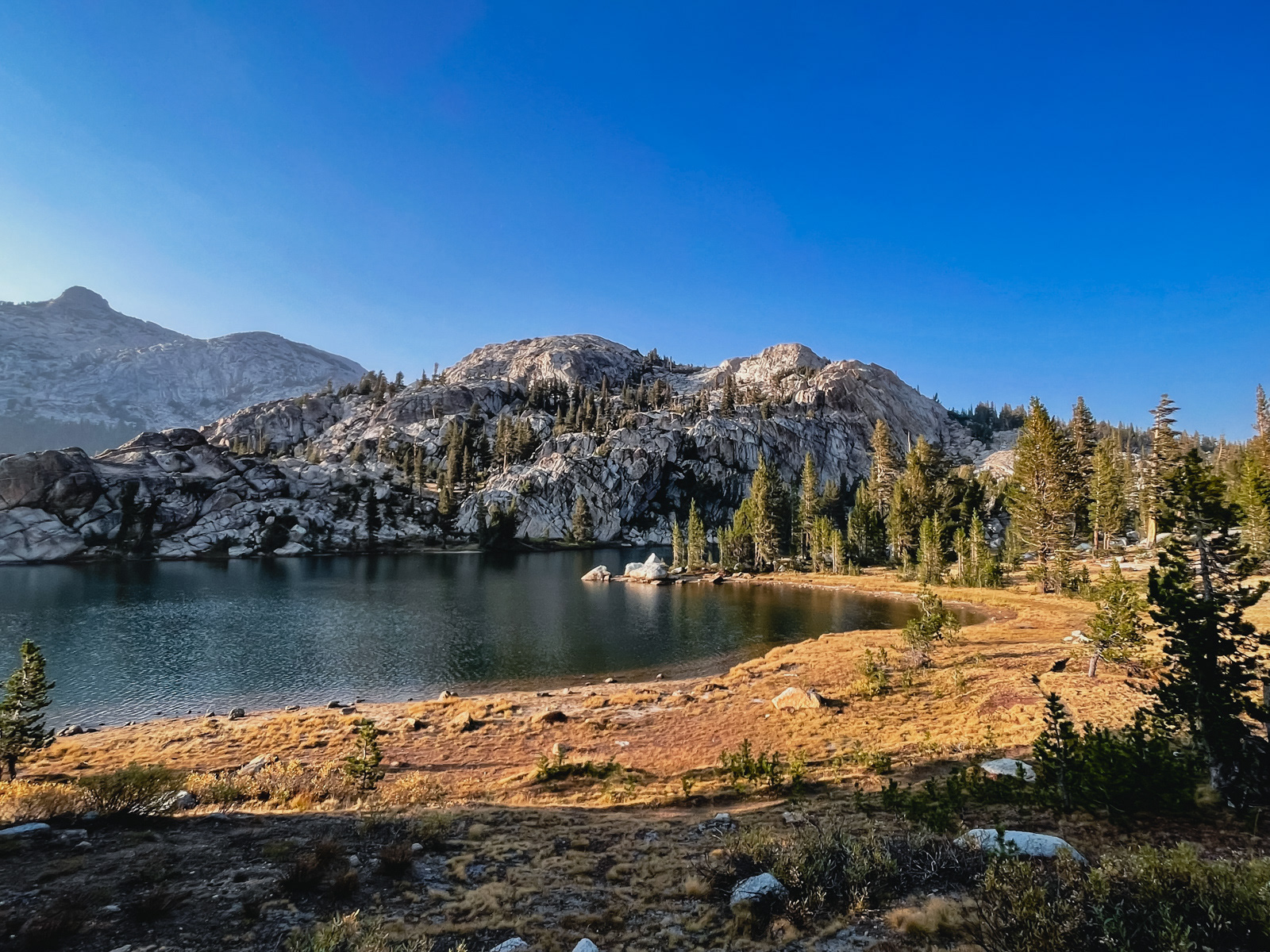
Elizabeth Lake looked a bit tired this late in the season, but Unicorn Peak was lovely.
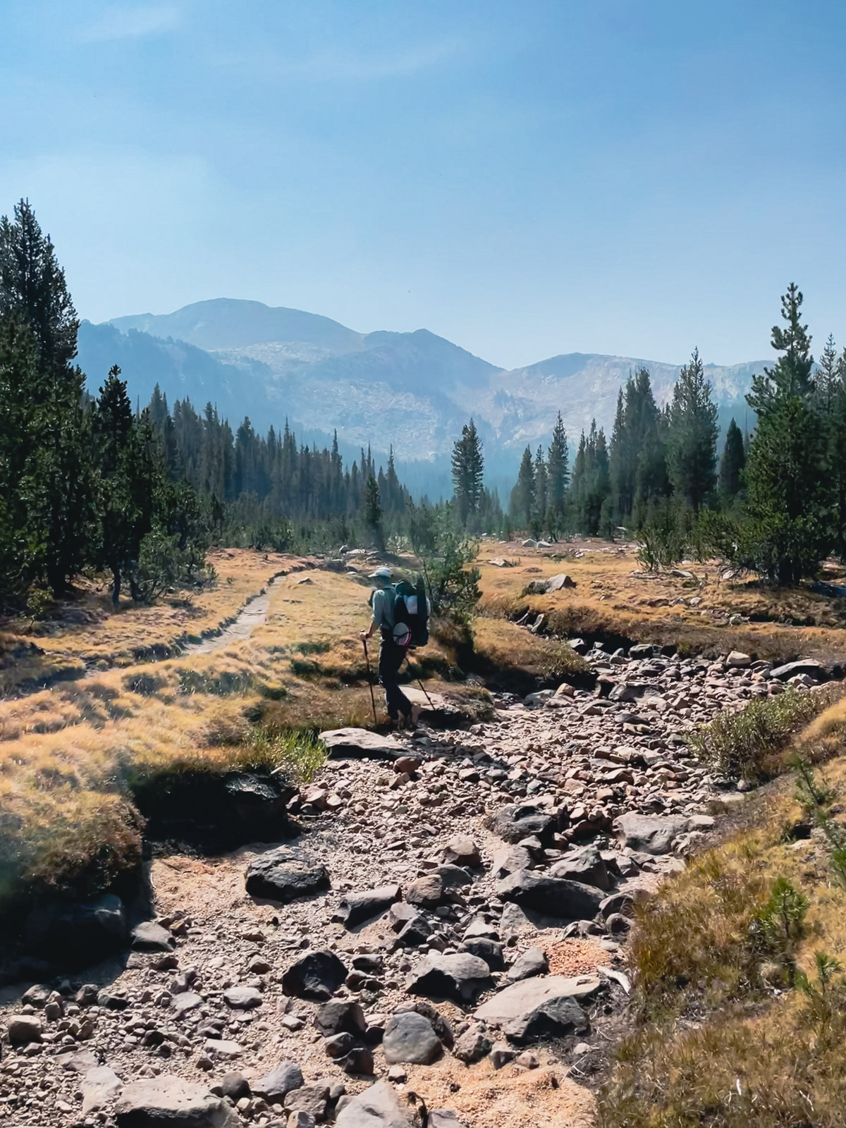
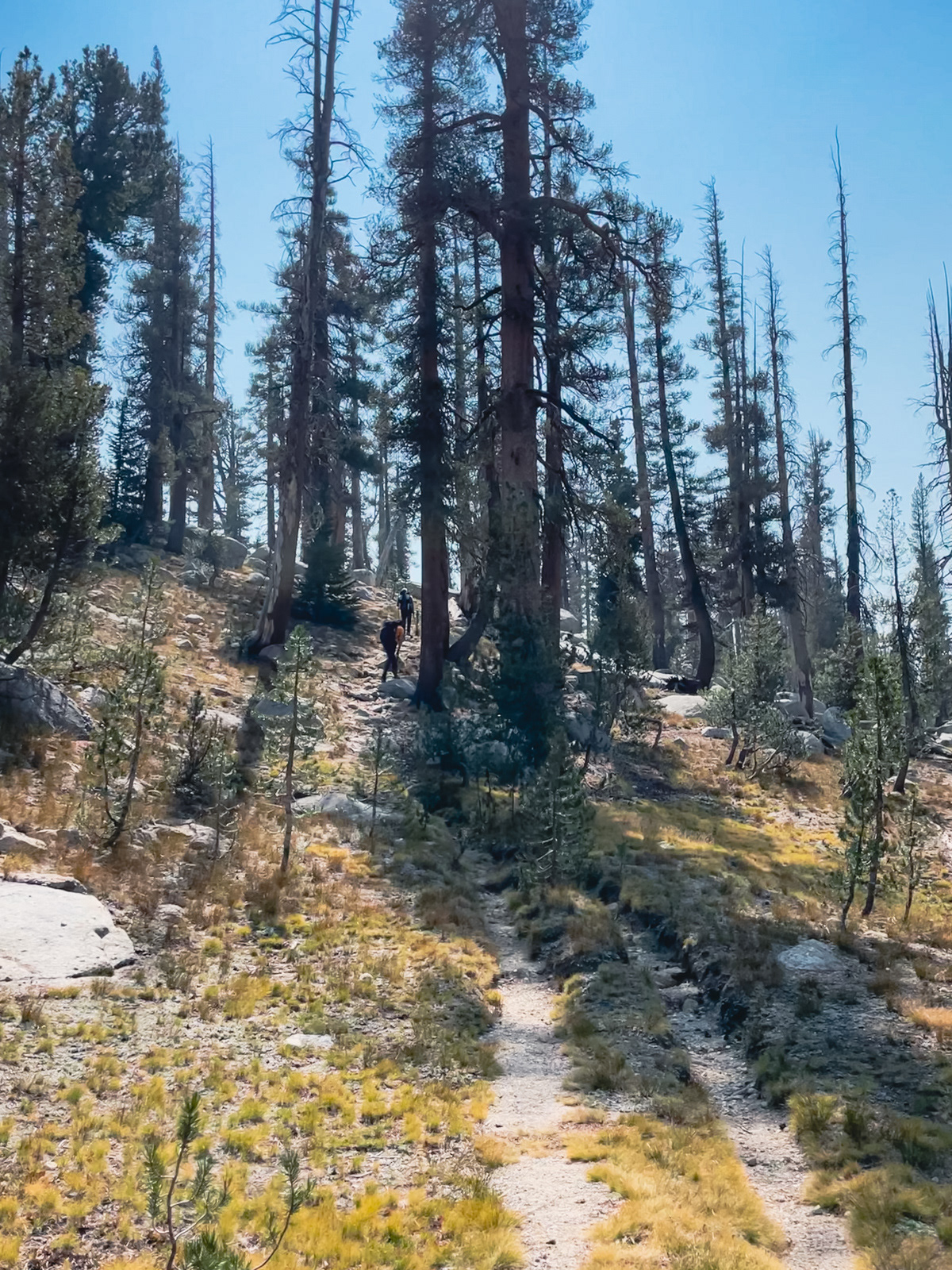
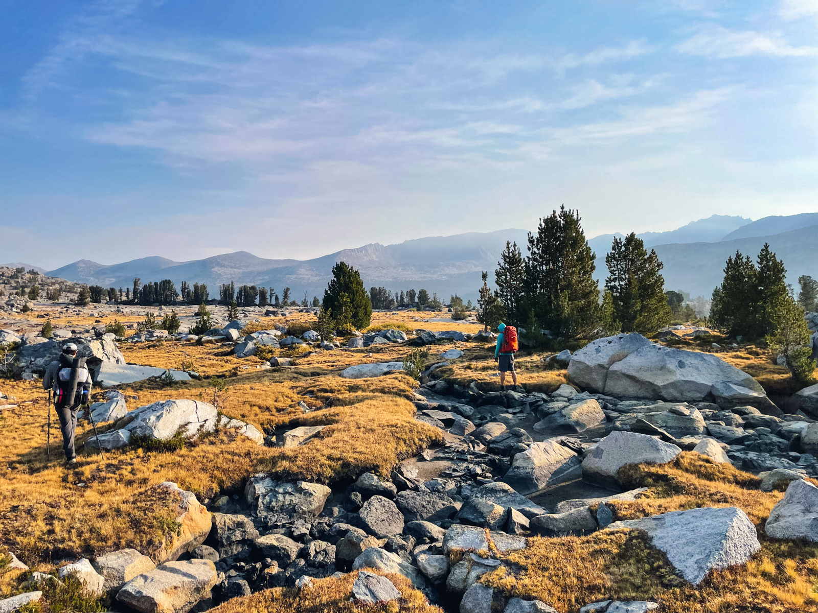
It was dry, dry, dry as we continued through tawny grass, empty creek beds and modest forest.
We met a group of three on their way back to the trailhead. They’d had good air until this morning. Another of my perfectly timed trips!
The pass was interesting, and reminded me of Ice Lake Pass at the border of Hoover and Northern Yosemite: a narrow, easy notch between drainages.
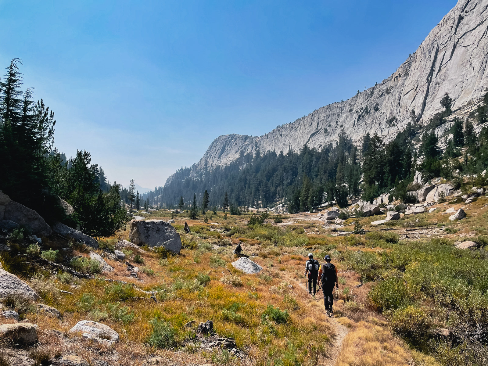
We were deposited along Echo Creek – wide, flat and pretty, with lovely granite walls on either side.
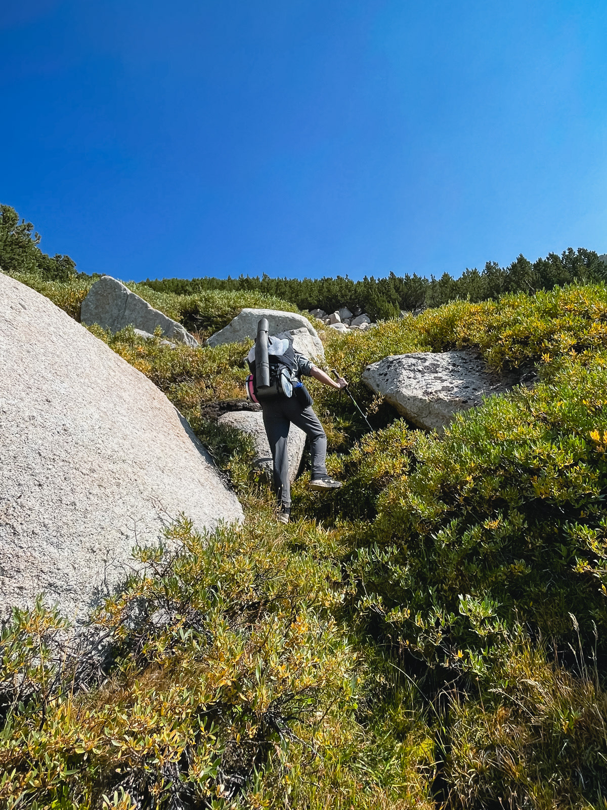
Getting to Nelson Lake was easy with a bit of bushwhacking and wobbling back and forth.
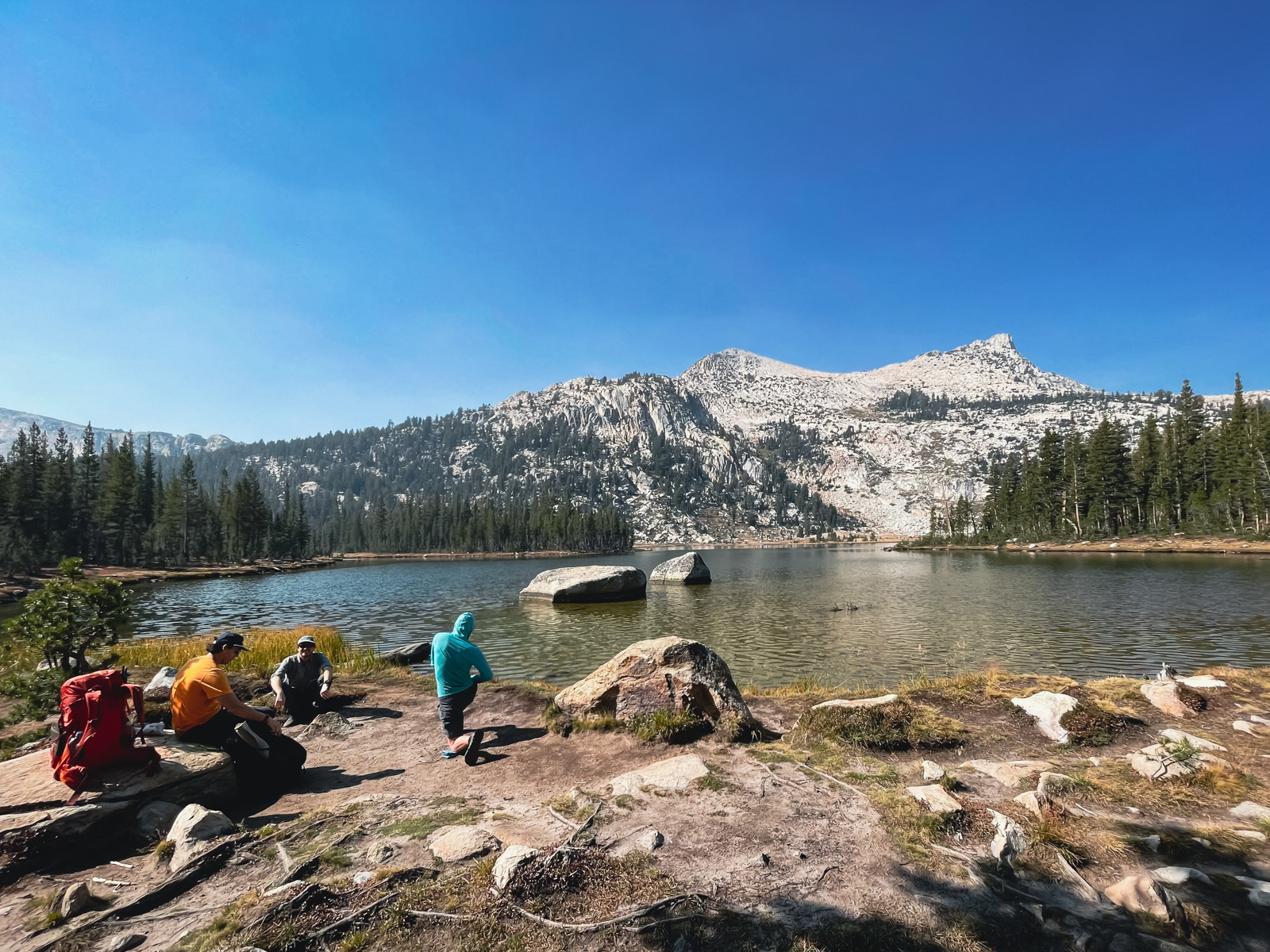
Soon enough we were there and took a long break. A couple with daypacks arrived and went swimming.
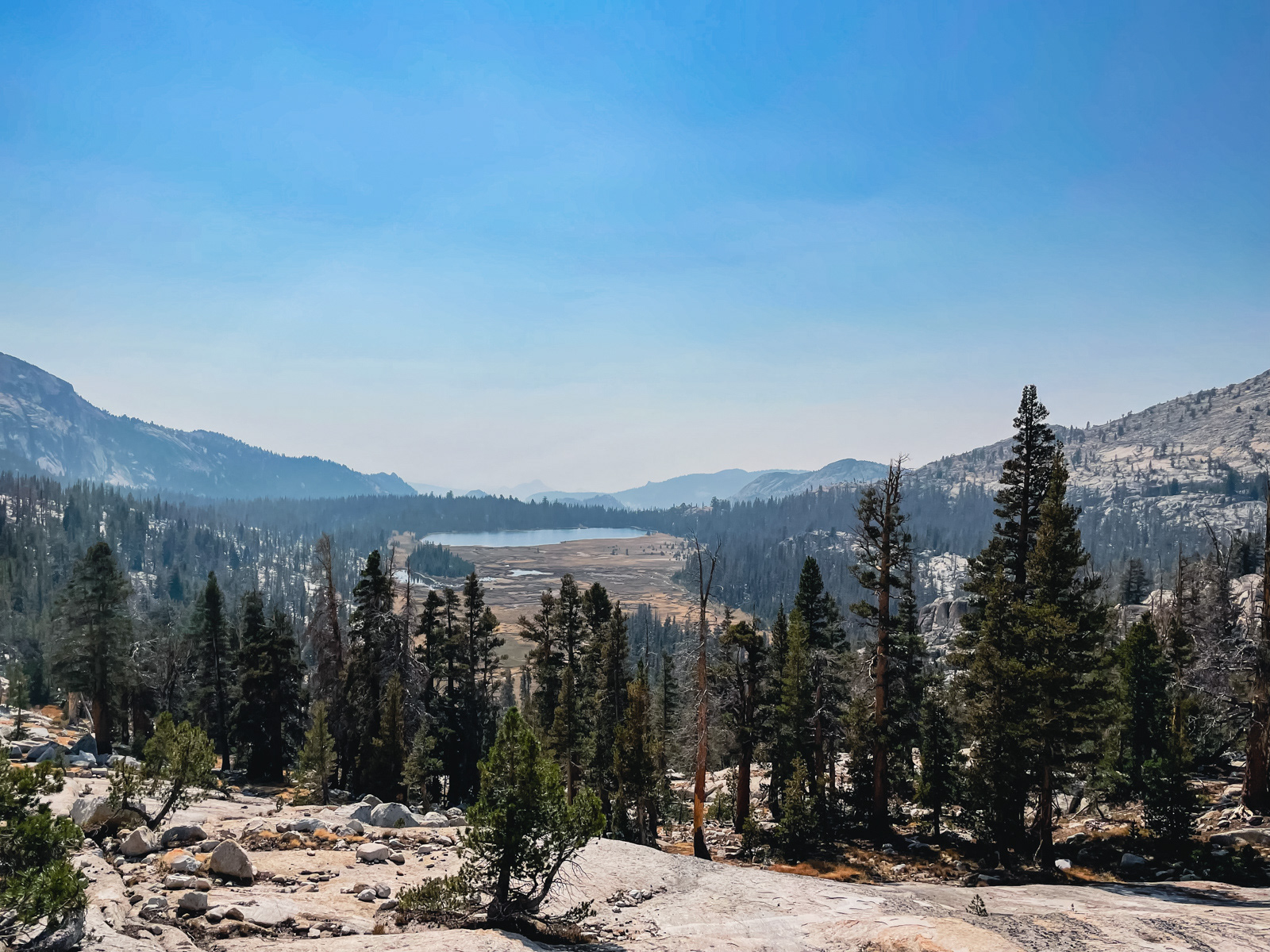
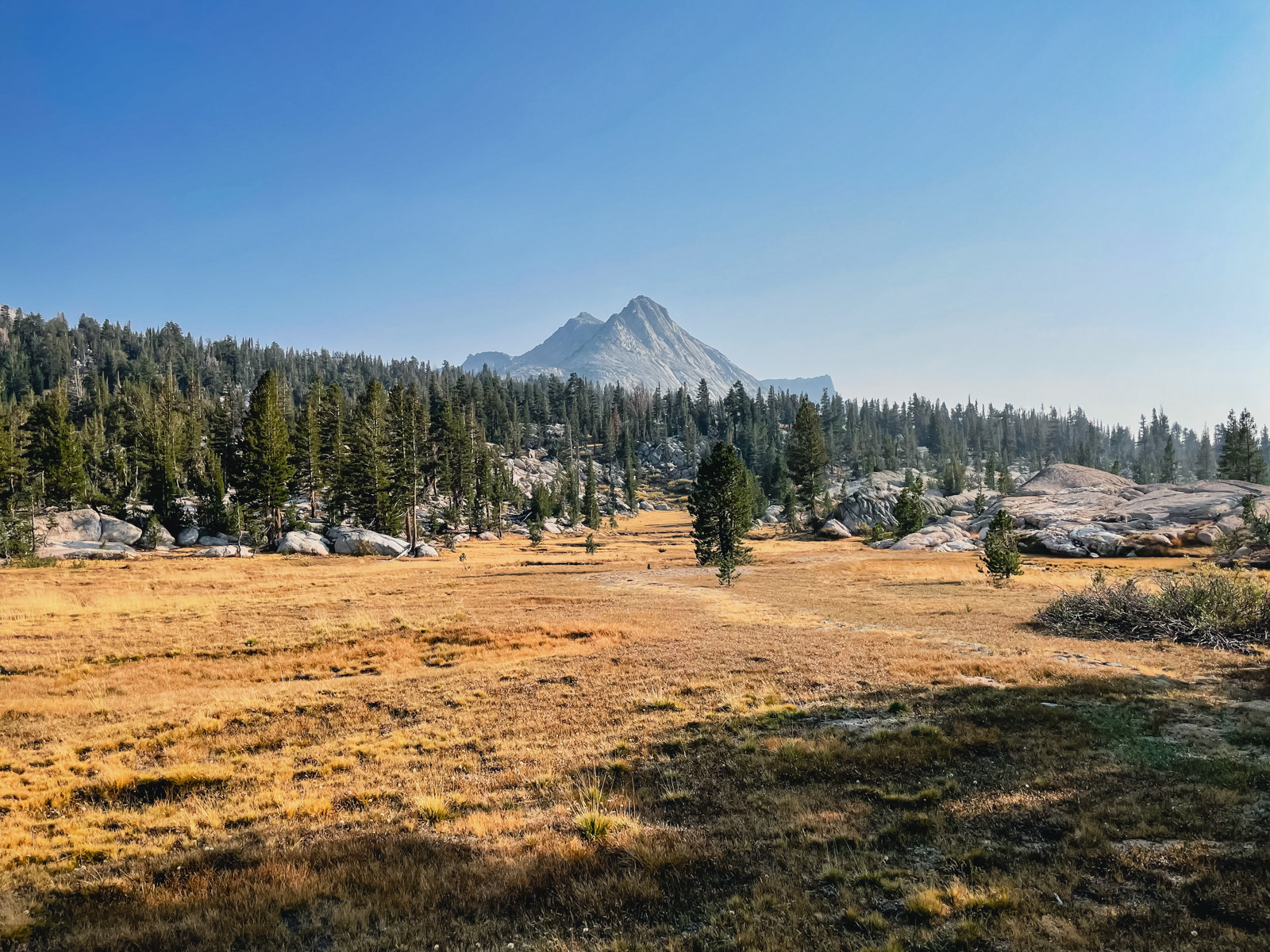
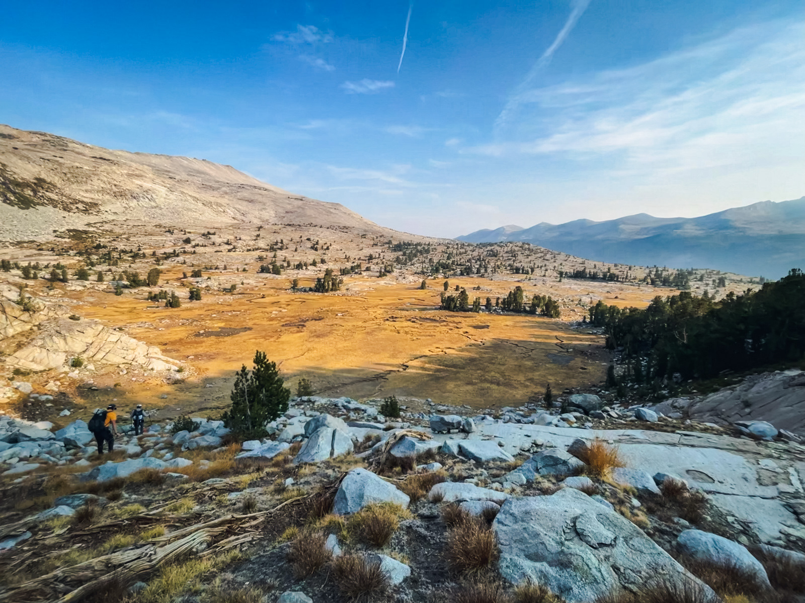
The huge meadow north of Nelson.
We took a less than ideal route toward Reymann Lake, bearing right and then zagging back left through what looked like a good tree tunnel. It was actually quite rocky with many annoying ups and downs.
Eventually we made it to Reymann Lake and found the twin butts of the day hikers swimming again.
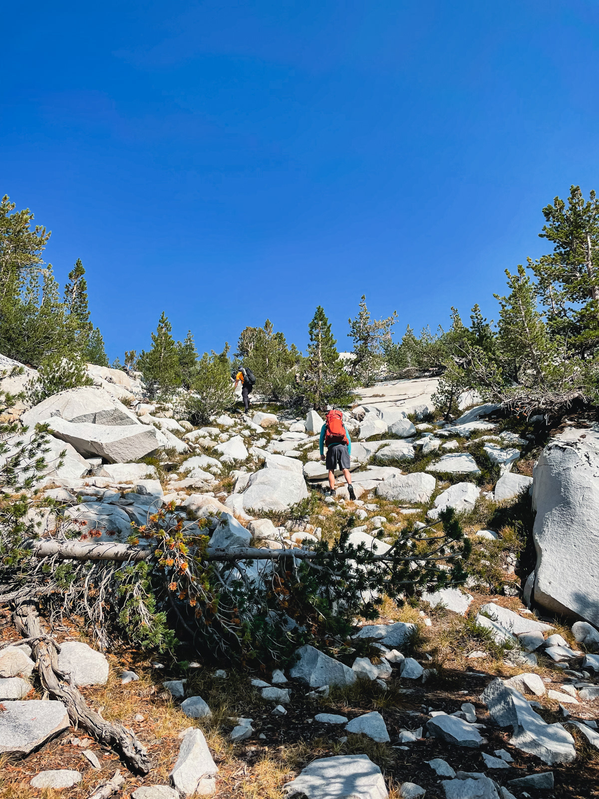
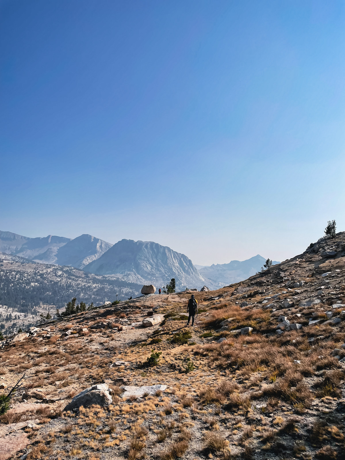
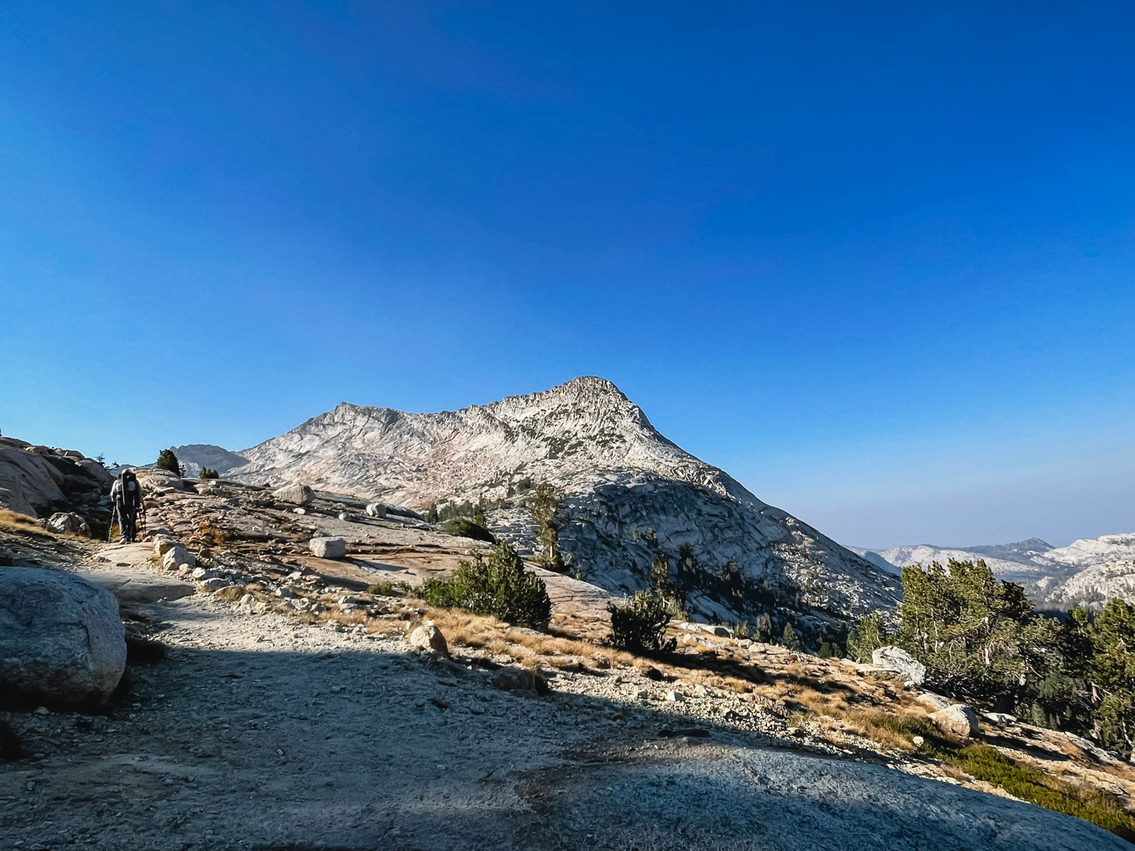
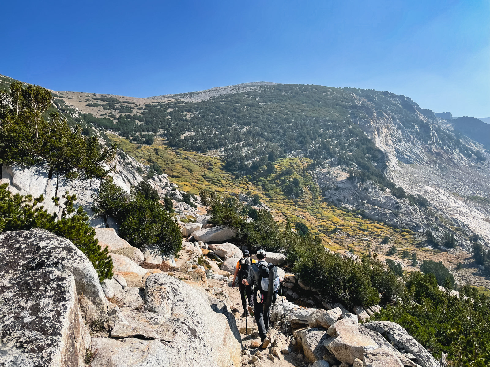
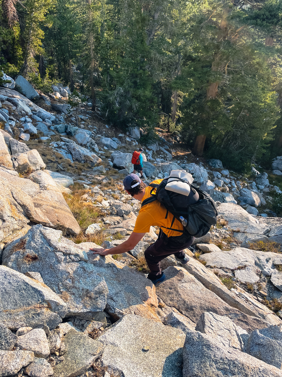
Reymann was a lot less interesting than Nelson and we stumbled slowly up the hot climb to the unnamed pass north of Rafferty Peak. I wound through trees and blowdown while the others followed a line up slab and boulders. Neither way seemed particularly better or worse, though theirs was probably more direct.
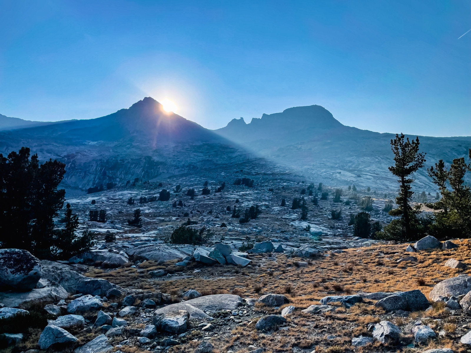
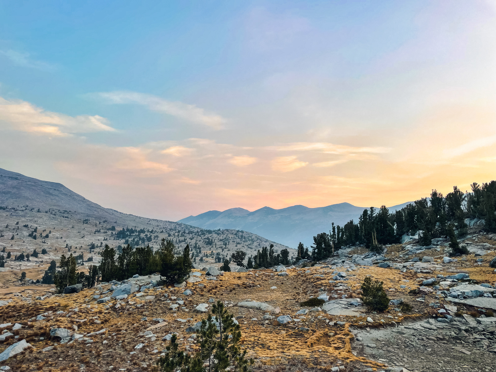
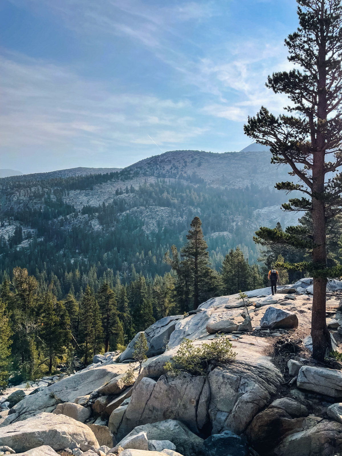
The view from the pass was grand and smoky.
The route here is interesting. Typically, you climb one side of a pass just to quickly descend the other. But here we turned south and traversed across to a secondary mini-pass. (I wound around the bowl to the right in this photo to avoid losing a tiny bit of elevation, while others just dropped down and back up the other side. My route was worse: just drop in.)
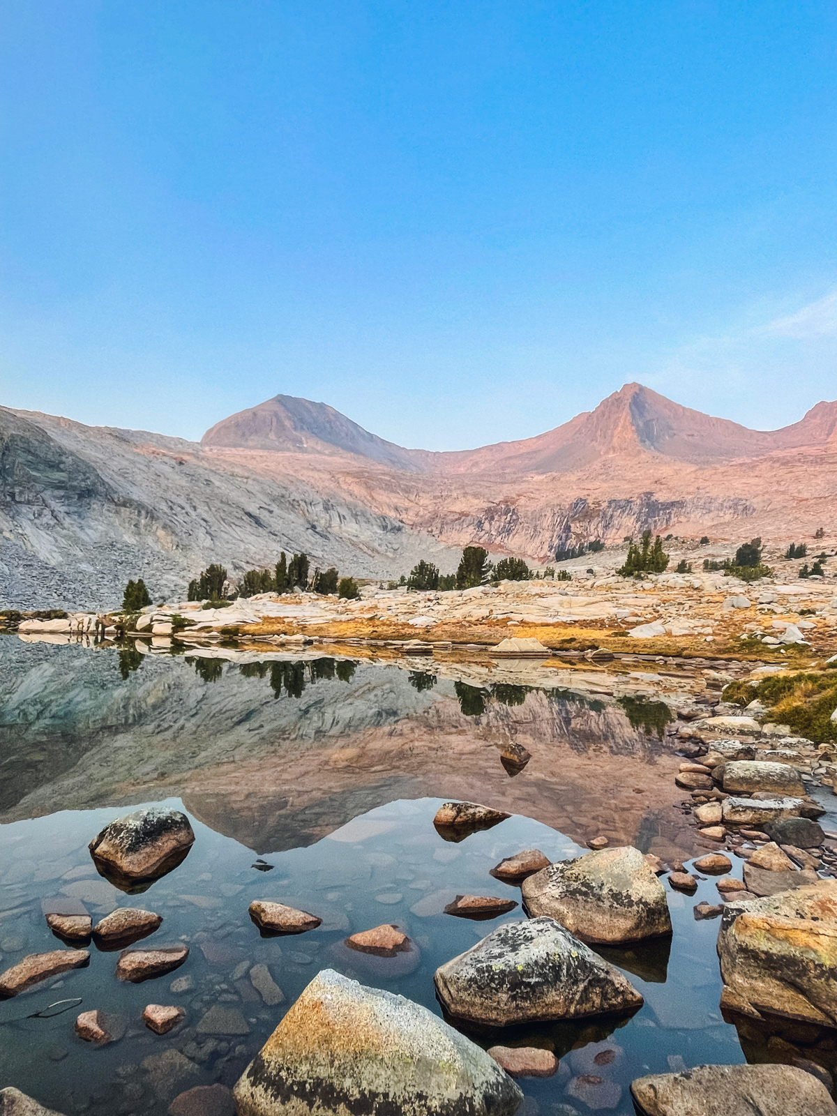
The view from the second pass was even better.
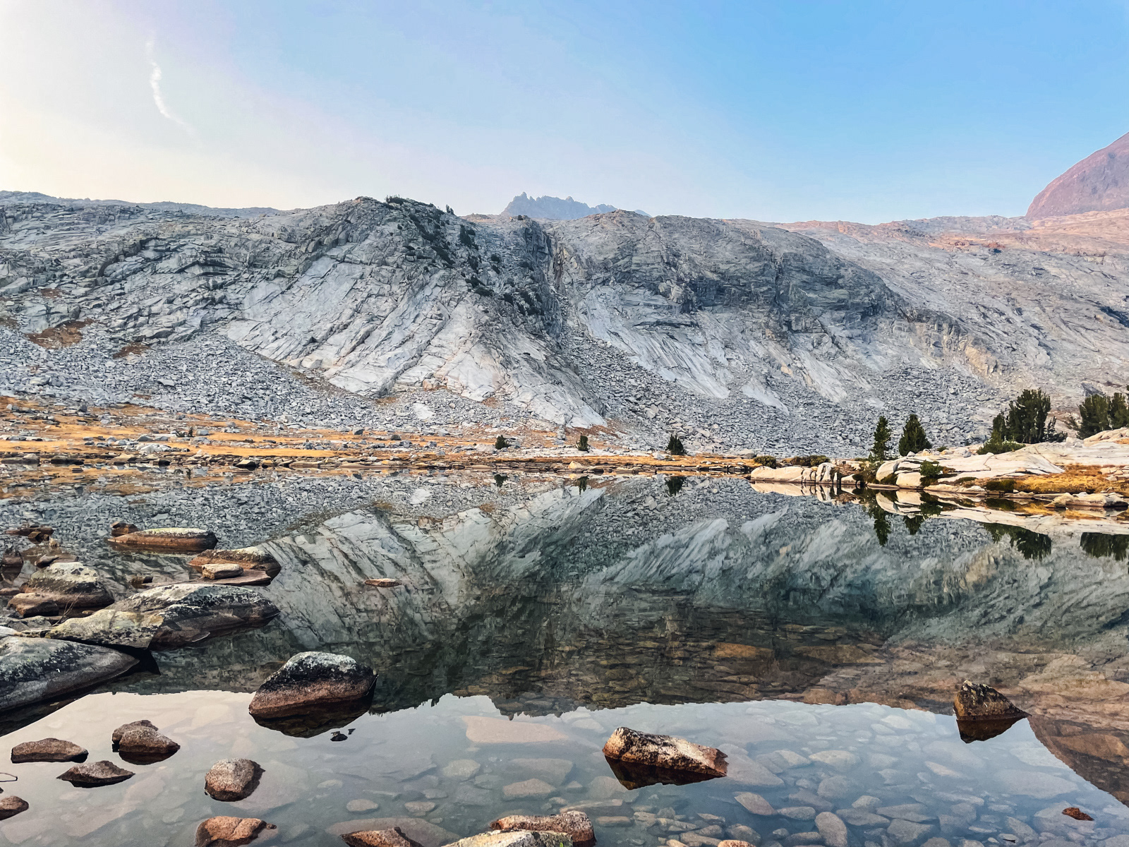
Our destination for the night was Boothe Lake. The original plan was to descend to trail to reach it via Tuolumne Pass. Instead, we contoured along smooth granite benches and eventually reached Boothe from the west.
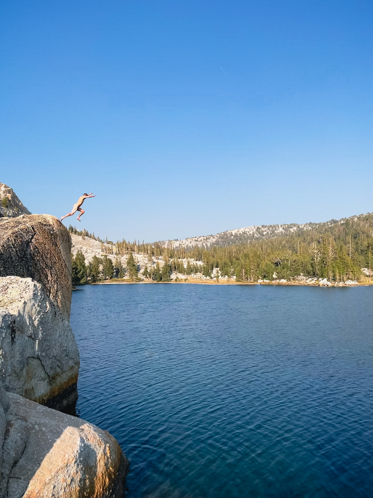
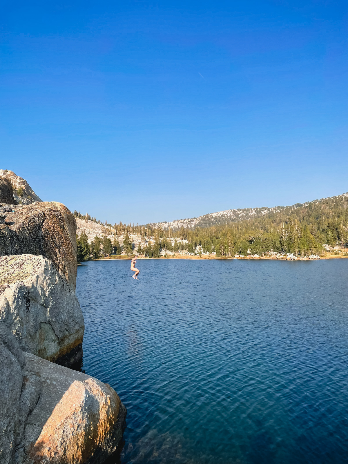
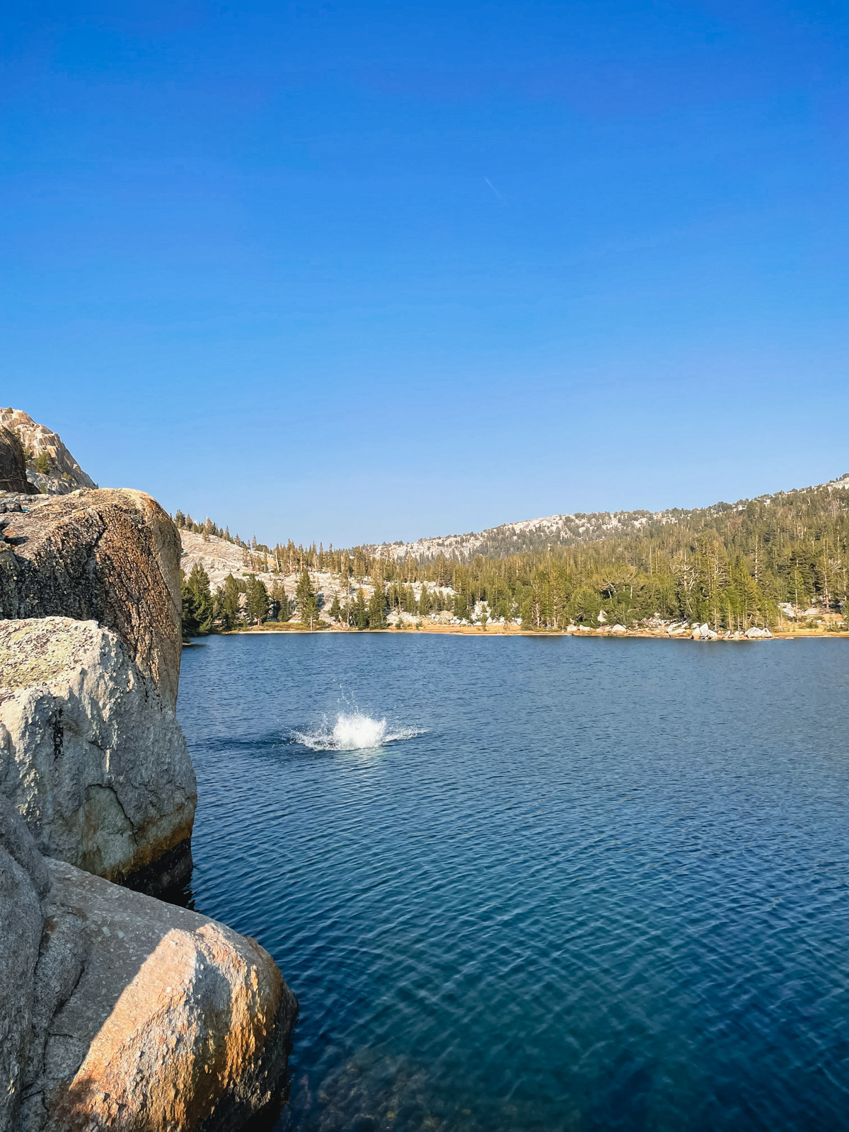
One way to get into a lake.
We found good camping on the east side of the lake.
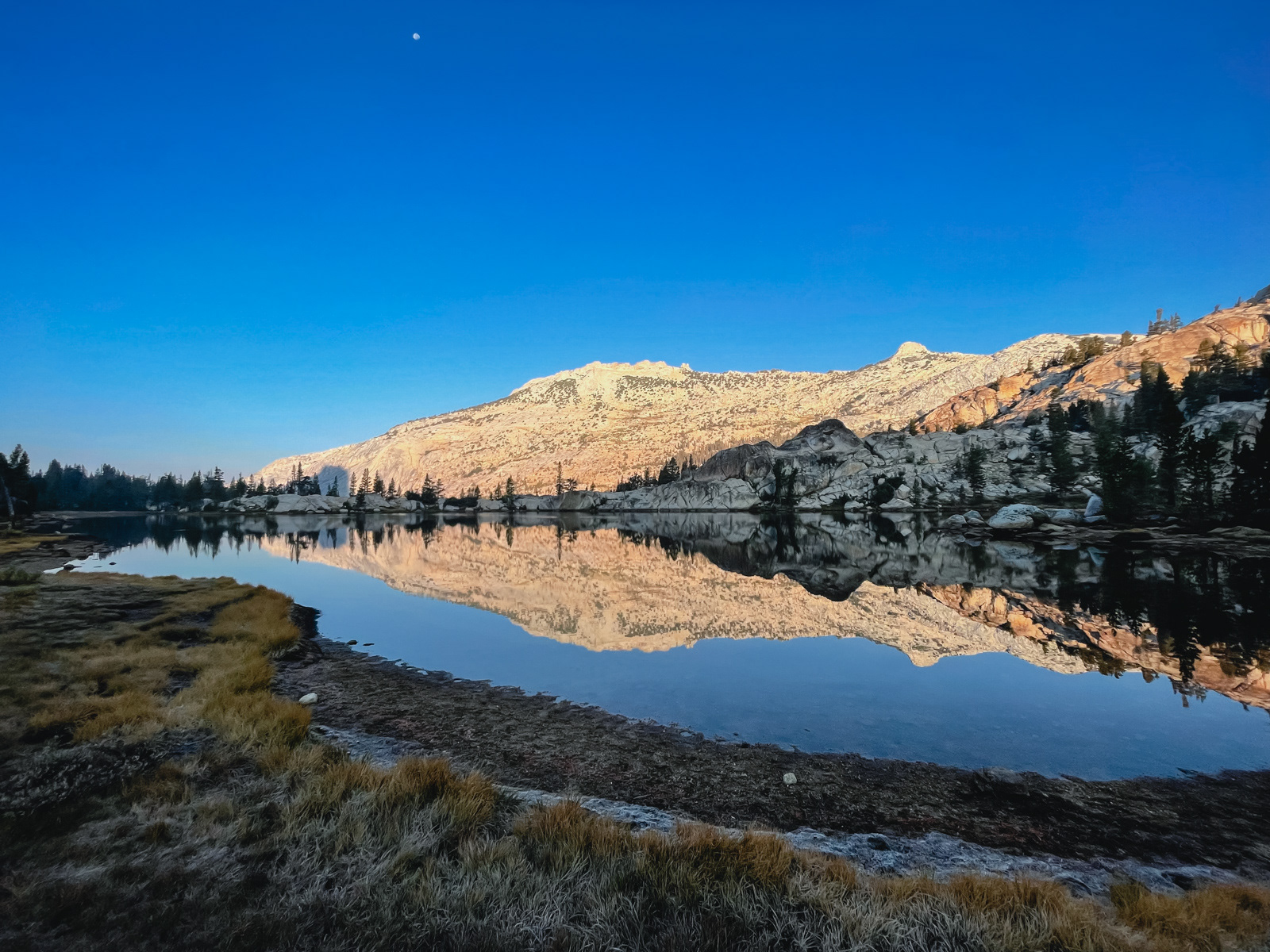
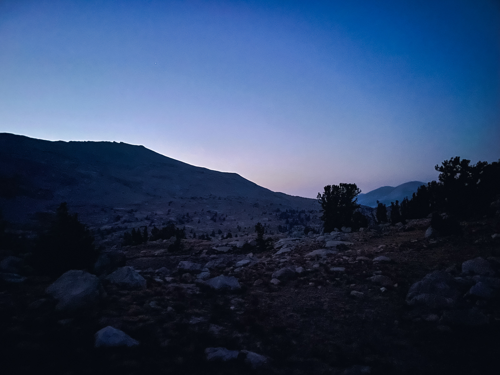
The morning was still.
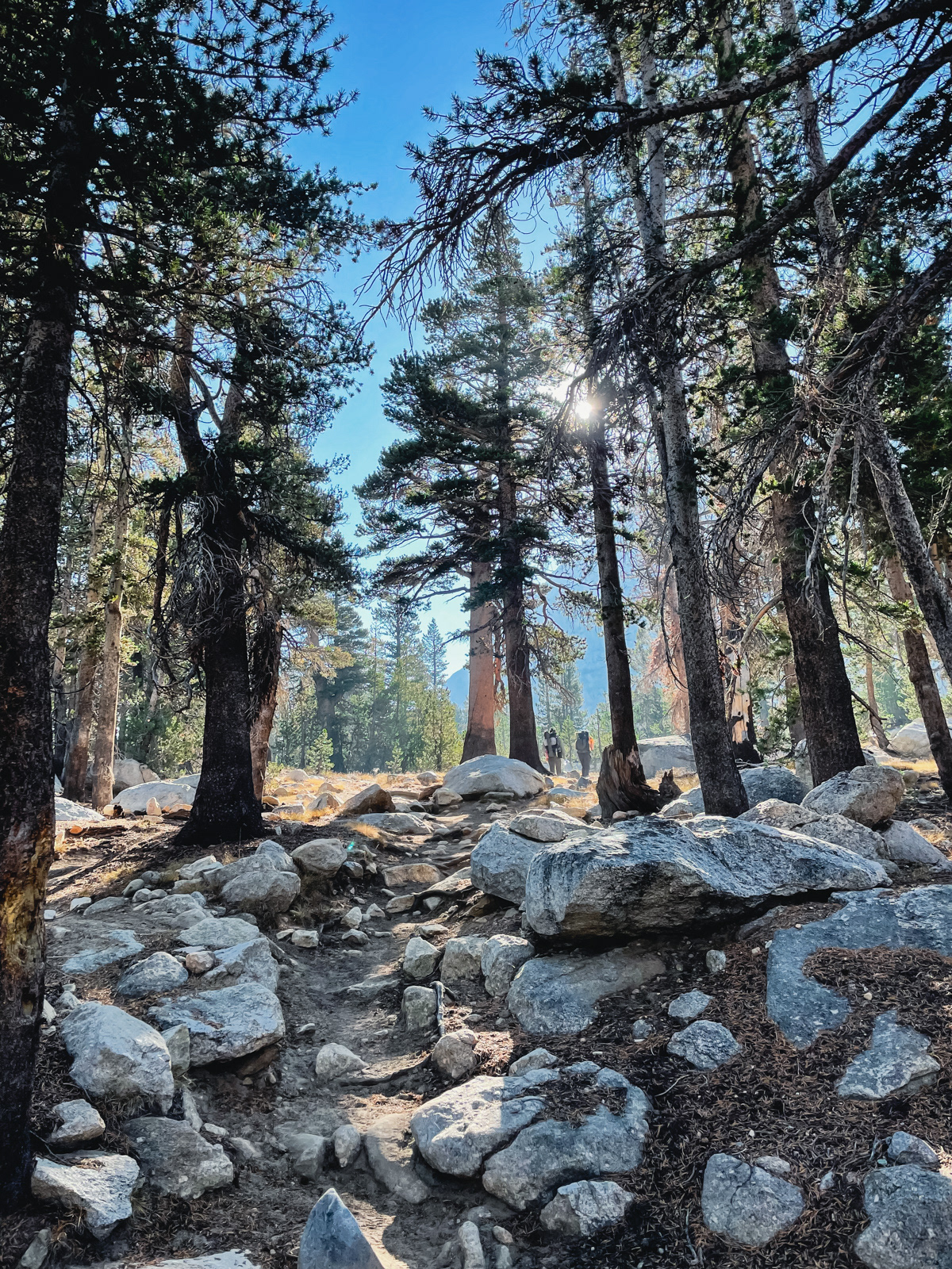
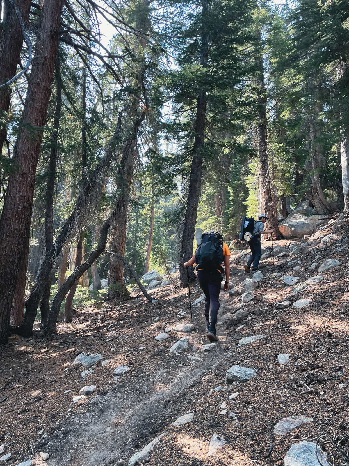
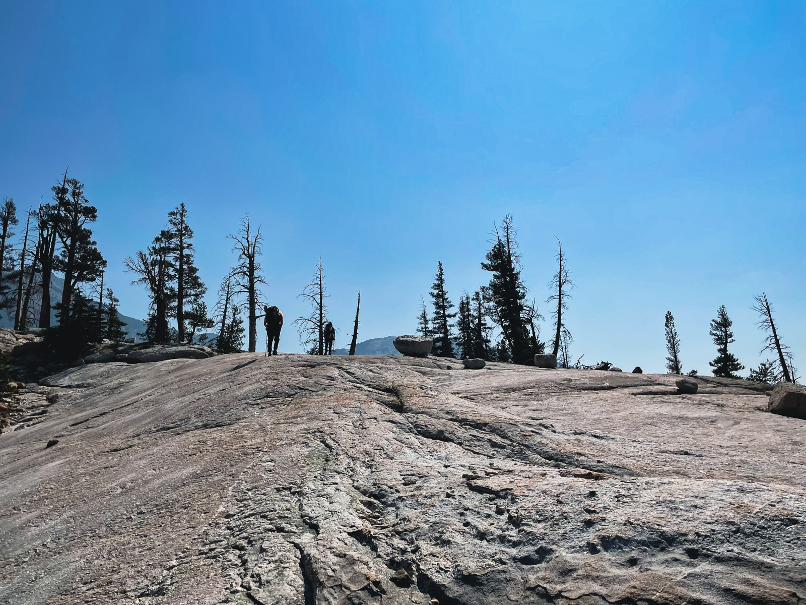
Soon we were climbing the hill behind our site before popping out on the trail.
The Vogelsang area is magic.
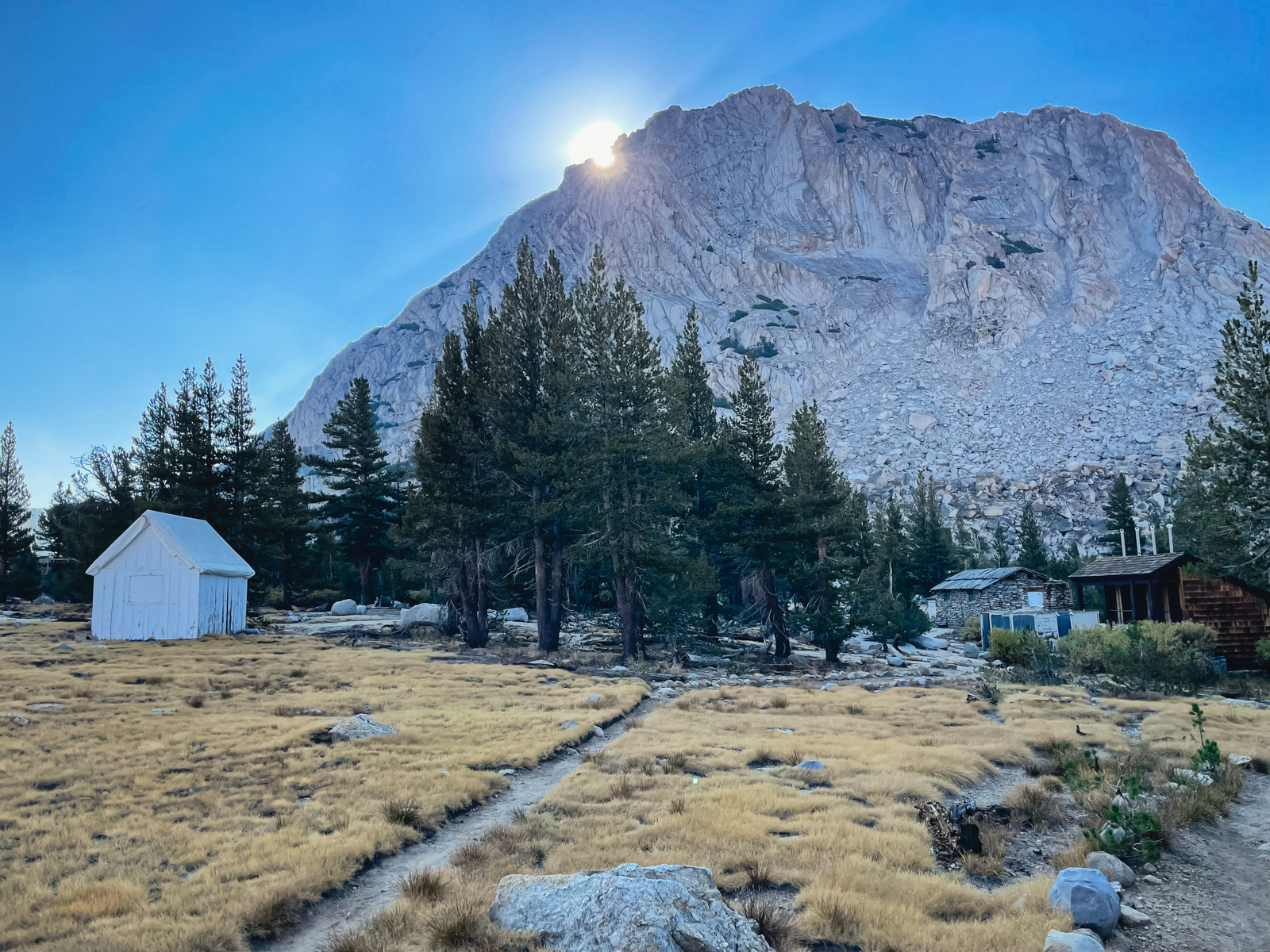
We passed the Vogelsang High Sierra Camp – closed for the last two Covid-filled years.
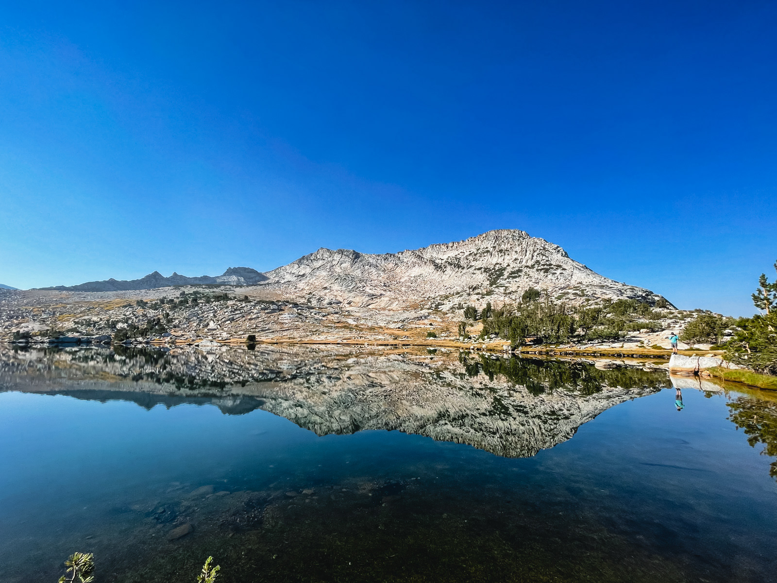
The air was still at Vogelsang Lake.
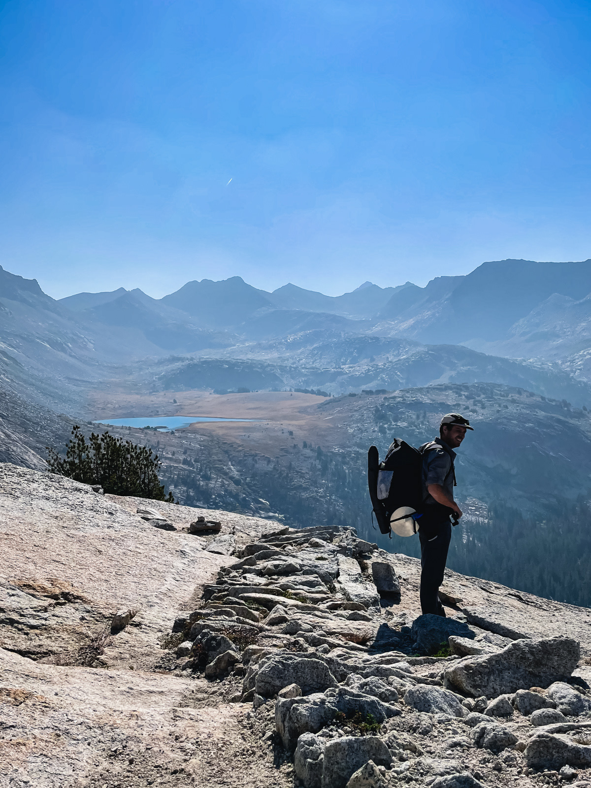
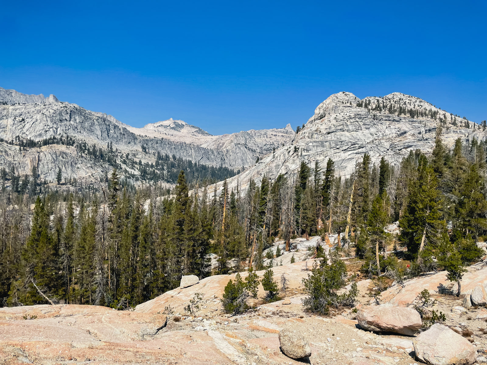
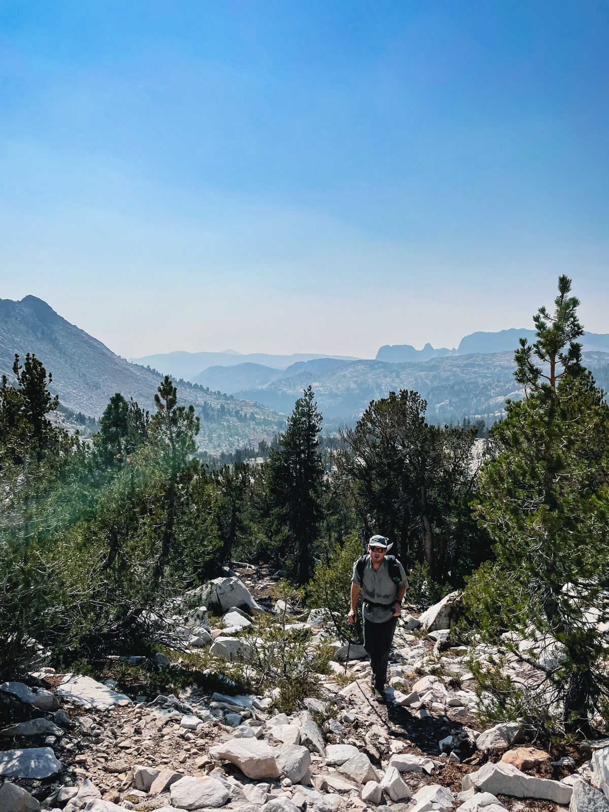
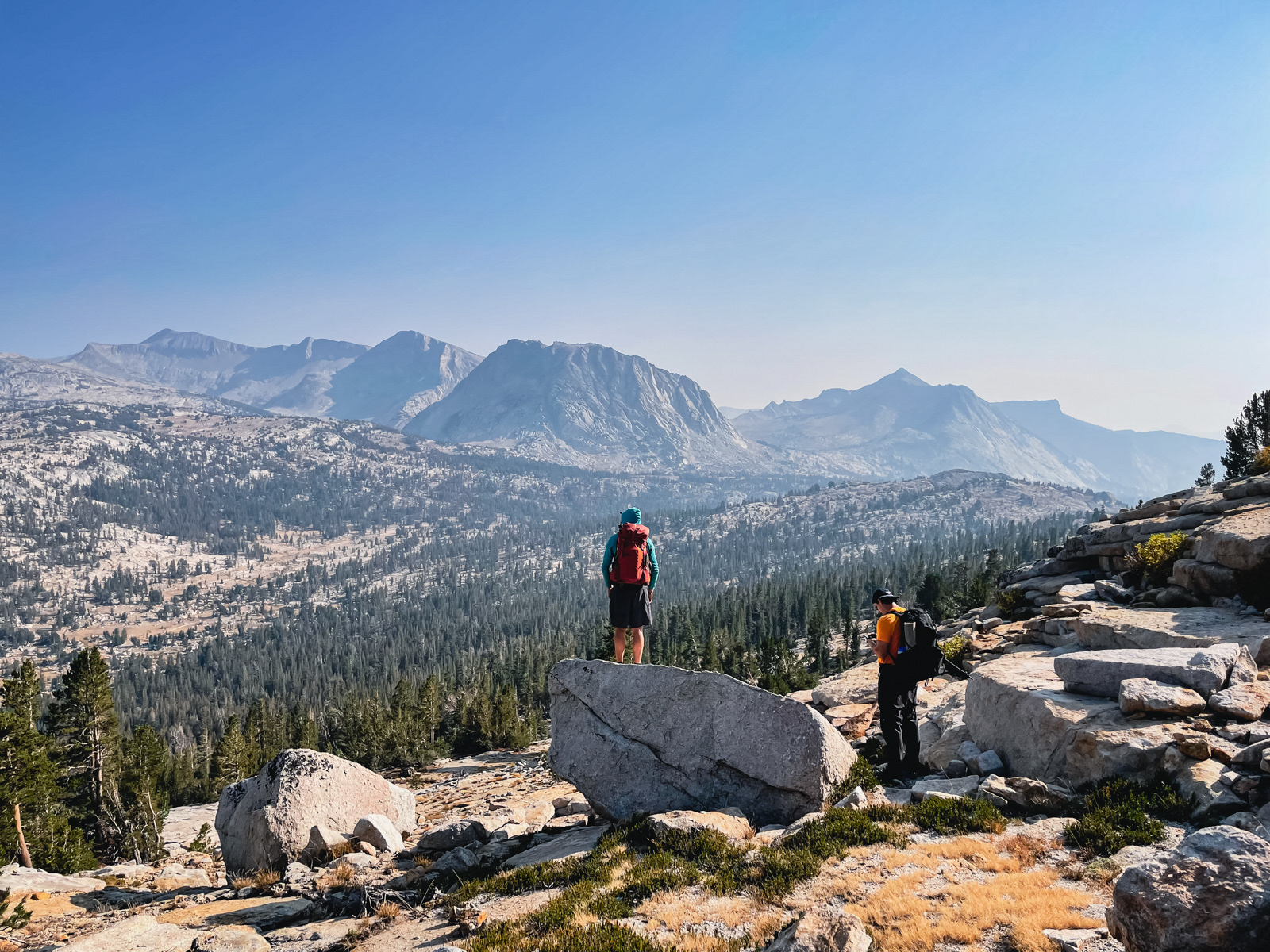
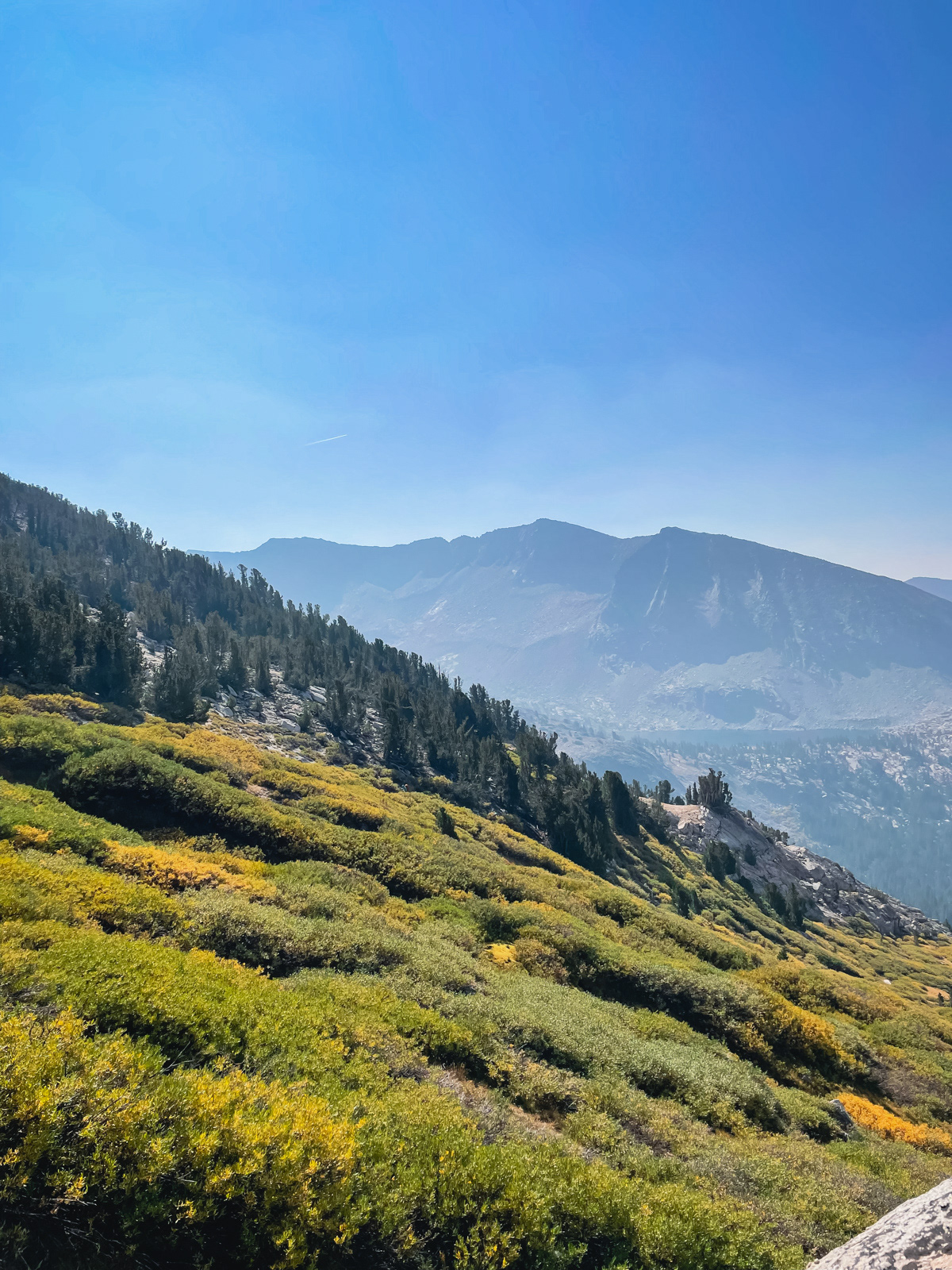
We climbed to the pass. The view south was amazing, but highlighted how smoky it was.
We headed on, and could now see the rough shape of the next part of our route.
We left the trail at the first downhill switchback, and started up the green seam. The going was brushy and steep. Most of us hugged the rock wall on the left side while one of our group mirrored us on the far right side. Both seemed to work fine. Going up the broad middle likely would not.
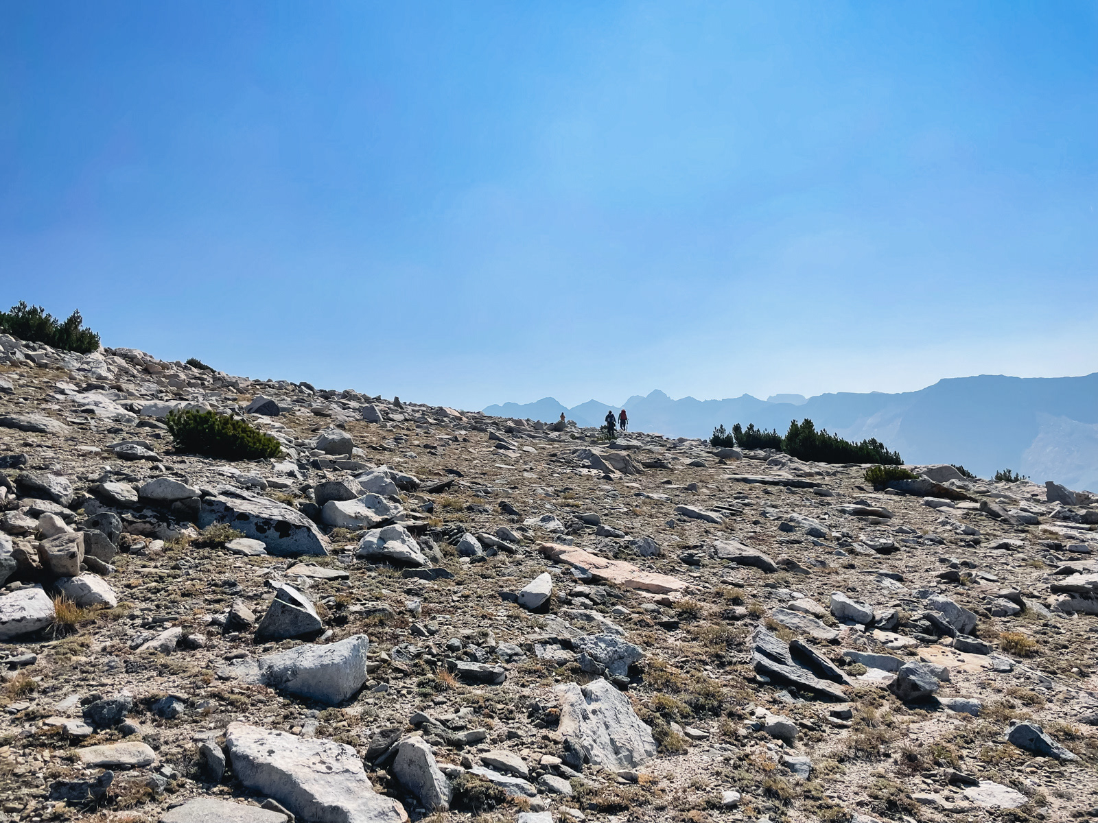
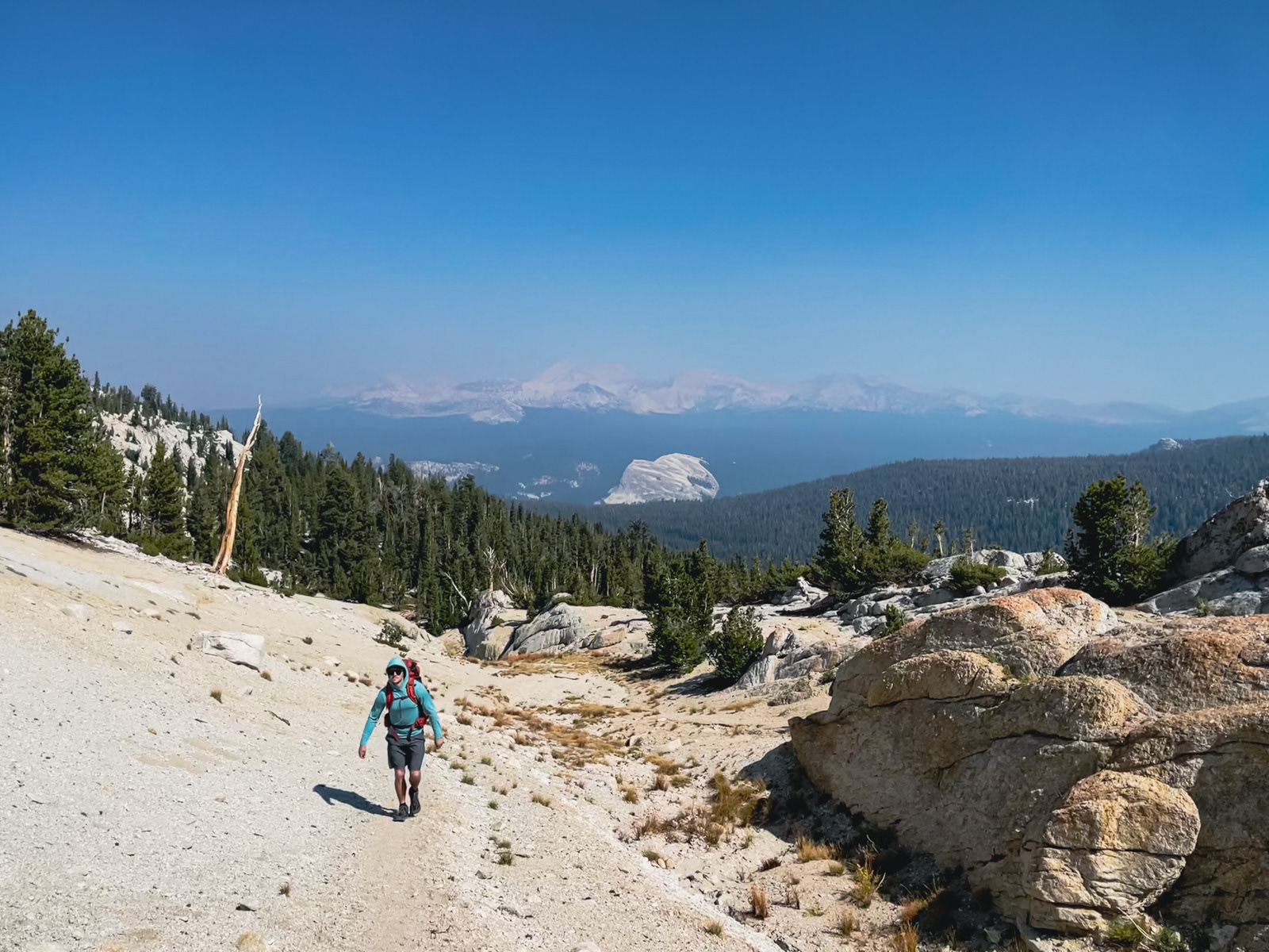
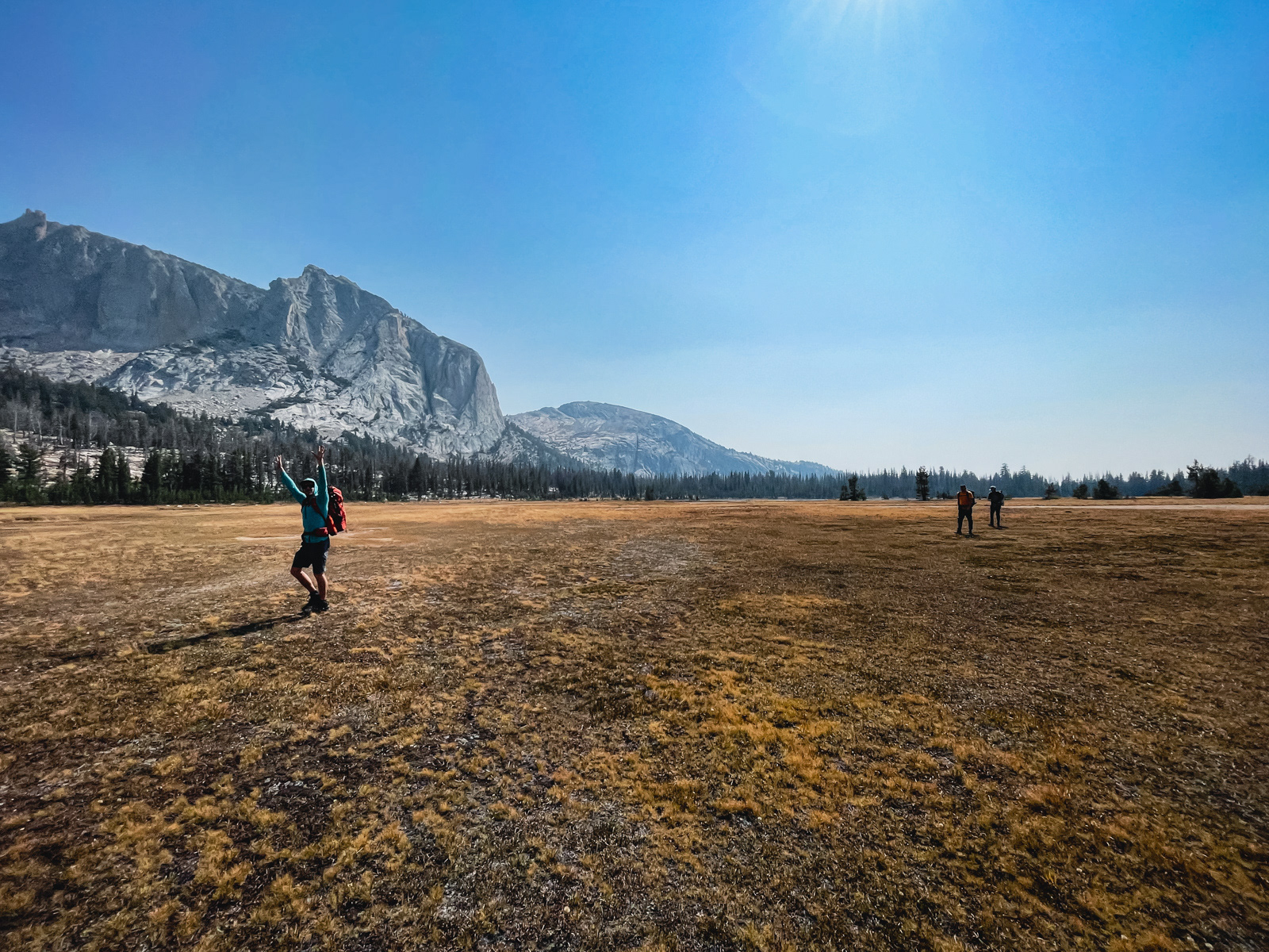
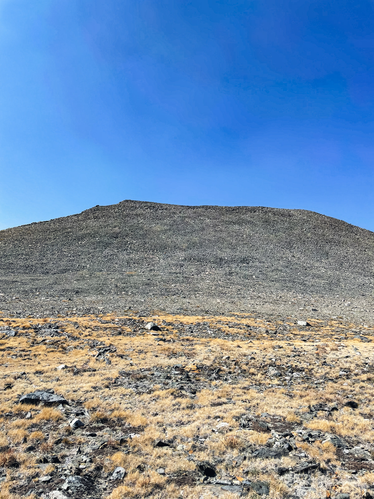
Eventually the terrain transitioned to steep sand, the kind that takes almost as much as it gives, and finally popped out onto a broad, flat-ish plateau – the Parsons Traverse.
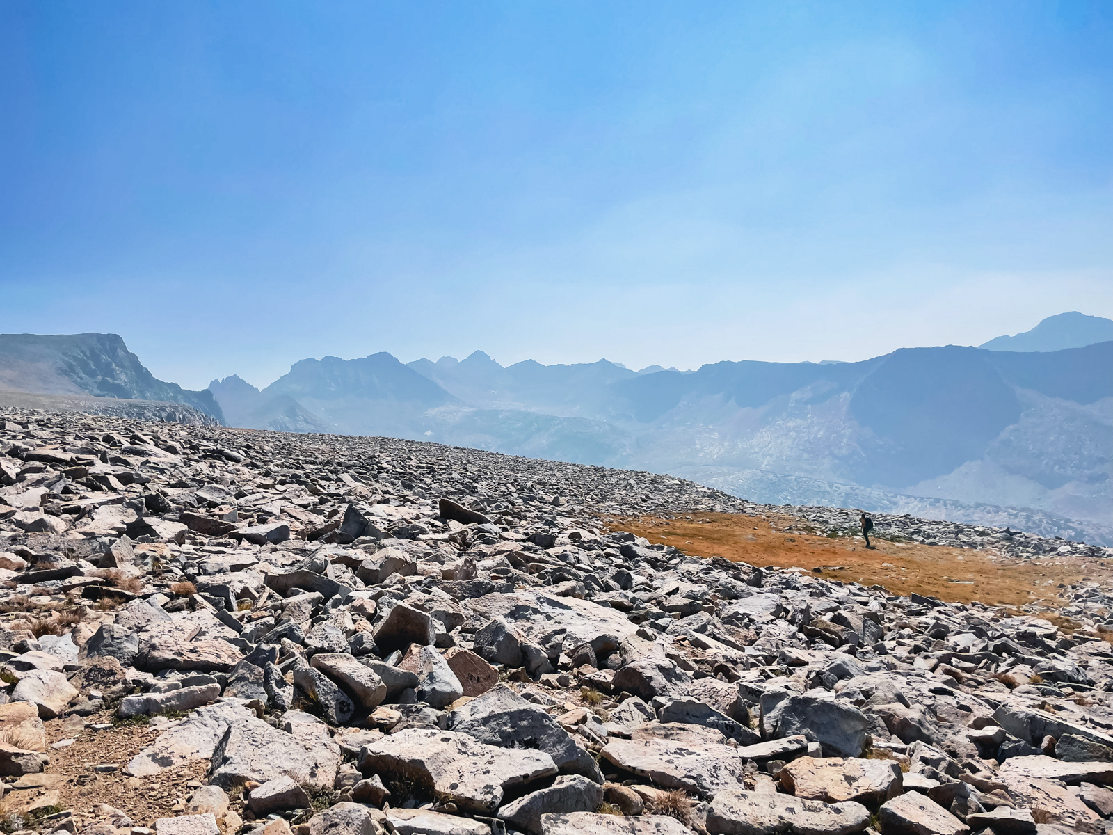
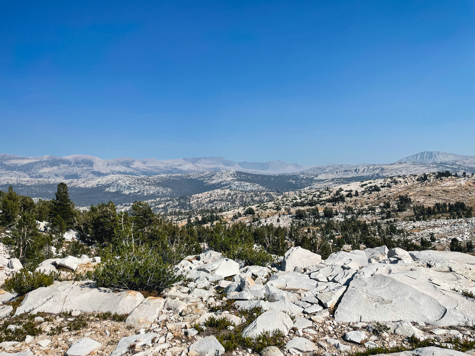
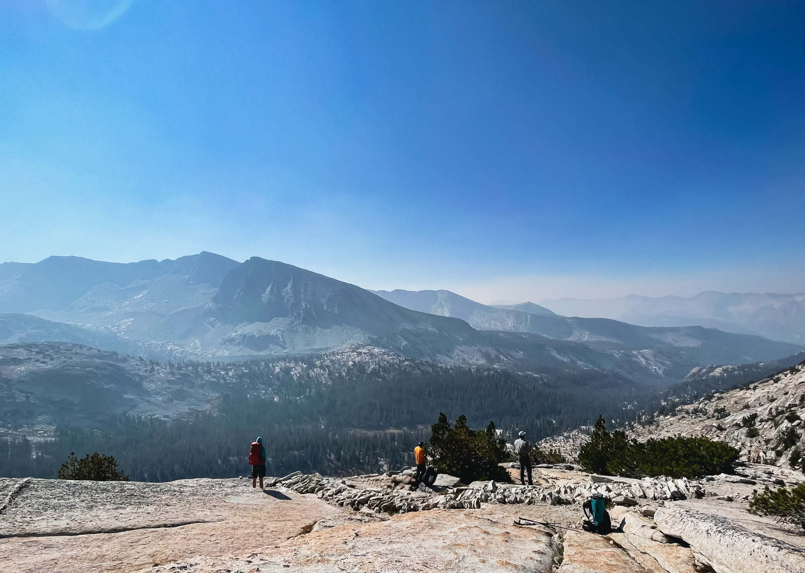
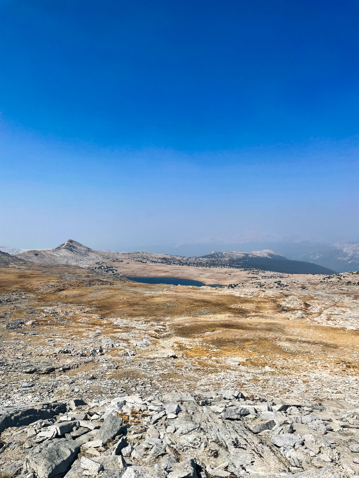
The views were astounding. I need to come back in less smoky times.
The tabletop terrain is unusual in the Sierra, where ridges tend to be vertiginous spines separating drainages. The Parsons Traverse is more reminiscent of the Southwest's mesa topography.
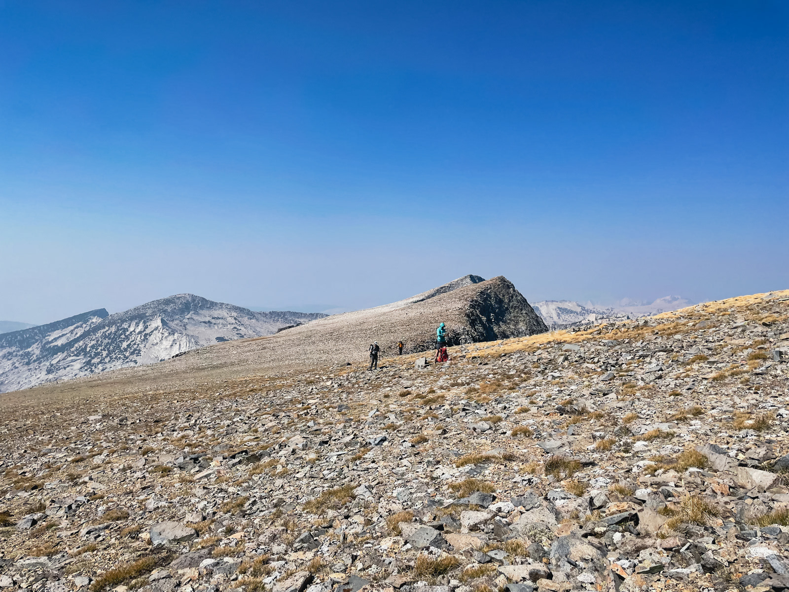
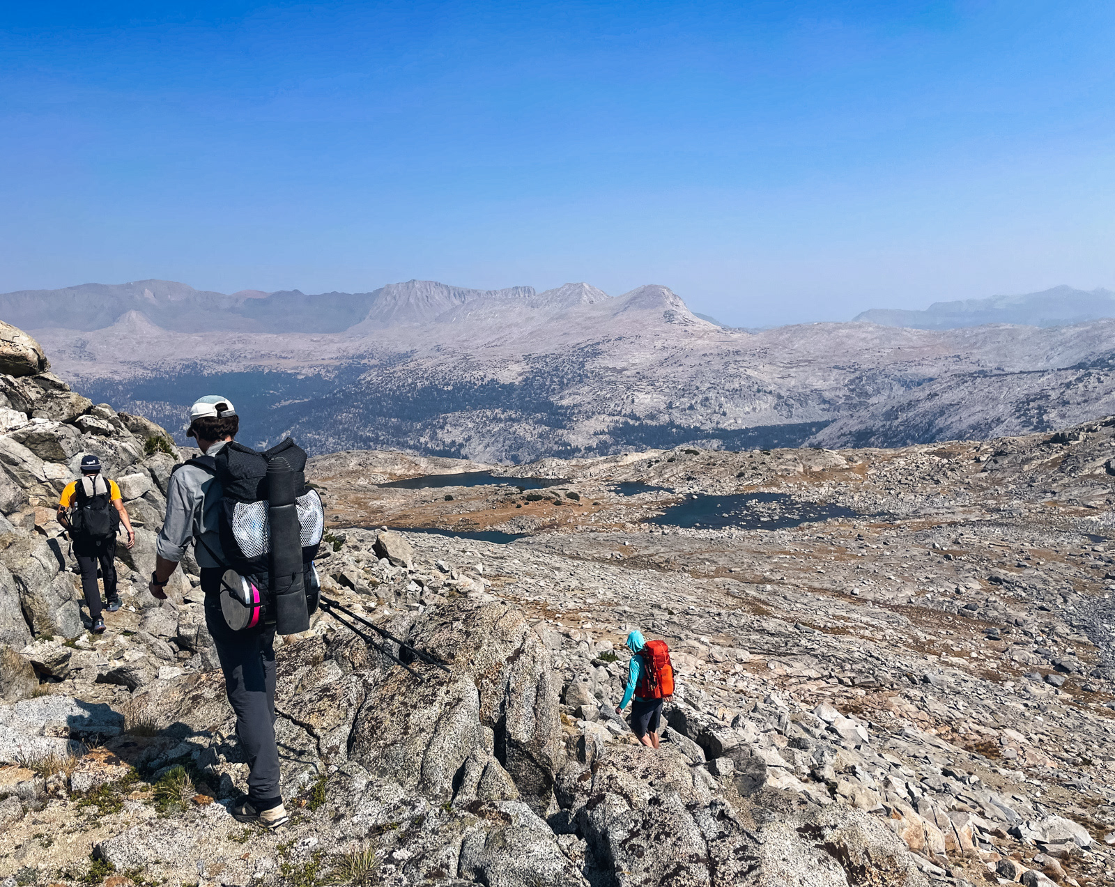
Halfway through the traverse we noticed a tiny figure heading towards us, which eventually turned out to be a like-minded hiker. This was definitely not where we had expected to bump into anyone! (She is the tiny speck above the orange shirt, heading away from us.)

A final look back.
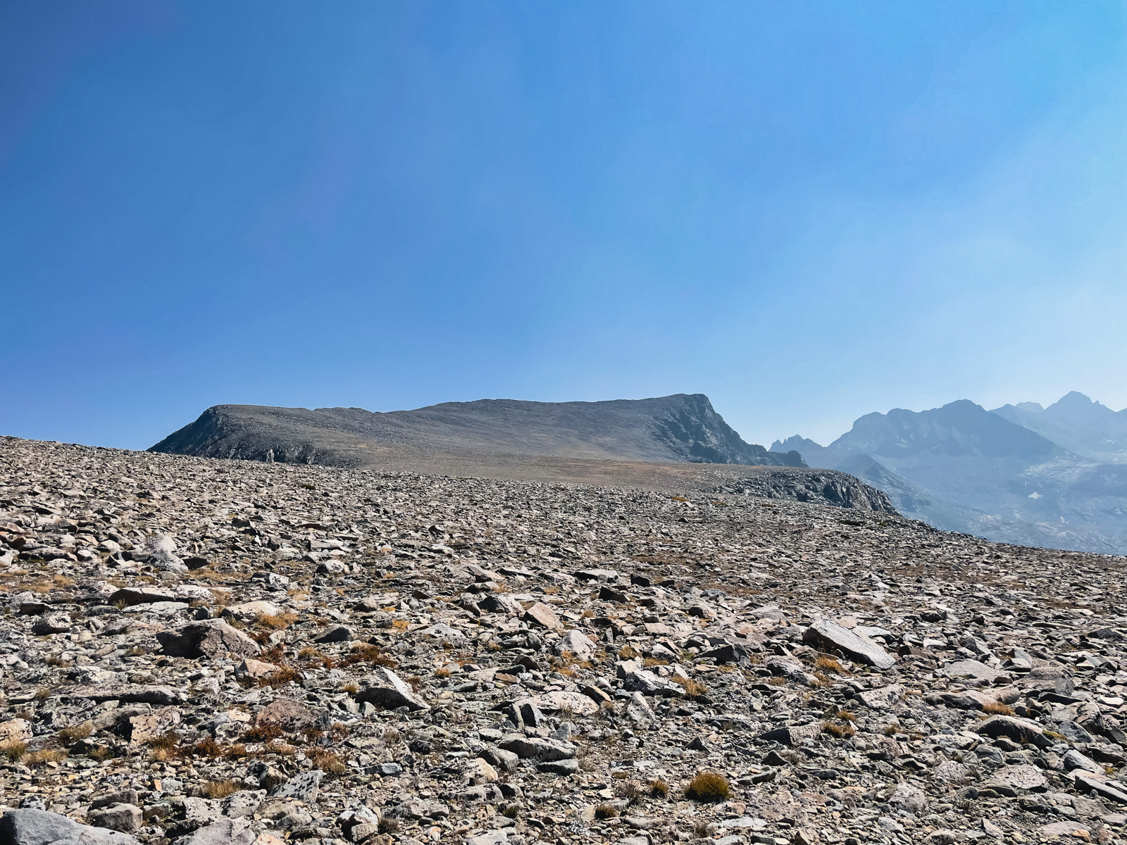
Soon enough we were at Parsons Peak itself (which is actually behind the camera).
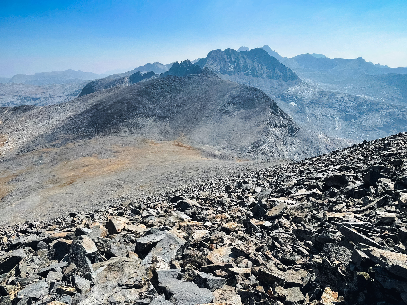
Peering over the eastern steep slope, with the profound rock formations of Southern Yosemite and the Mammoth area in the distance.
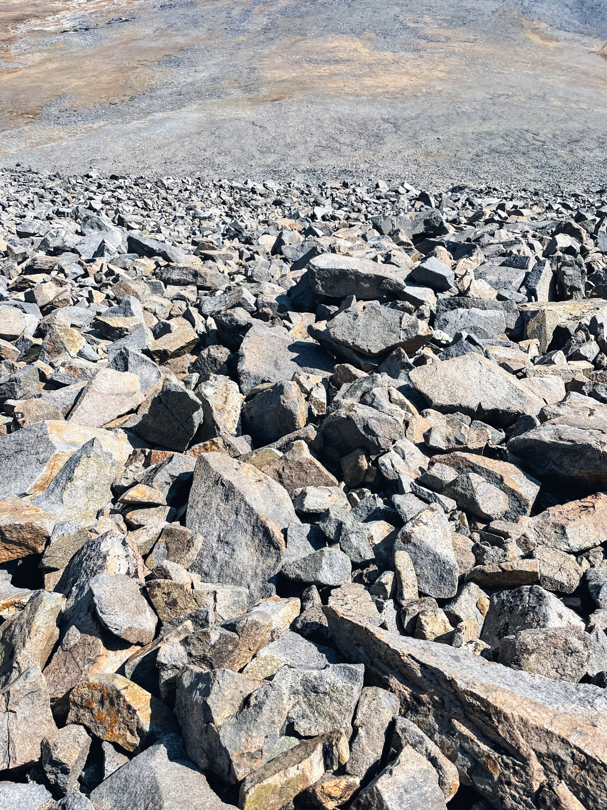
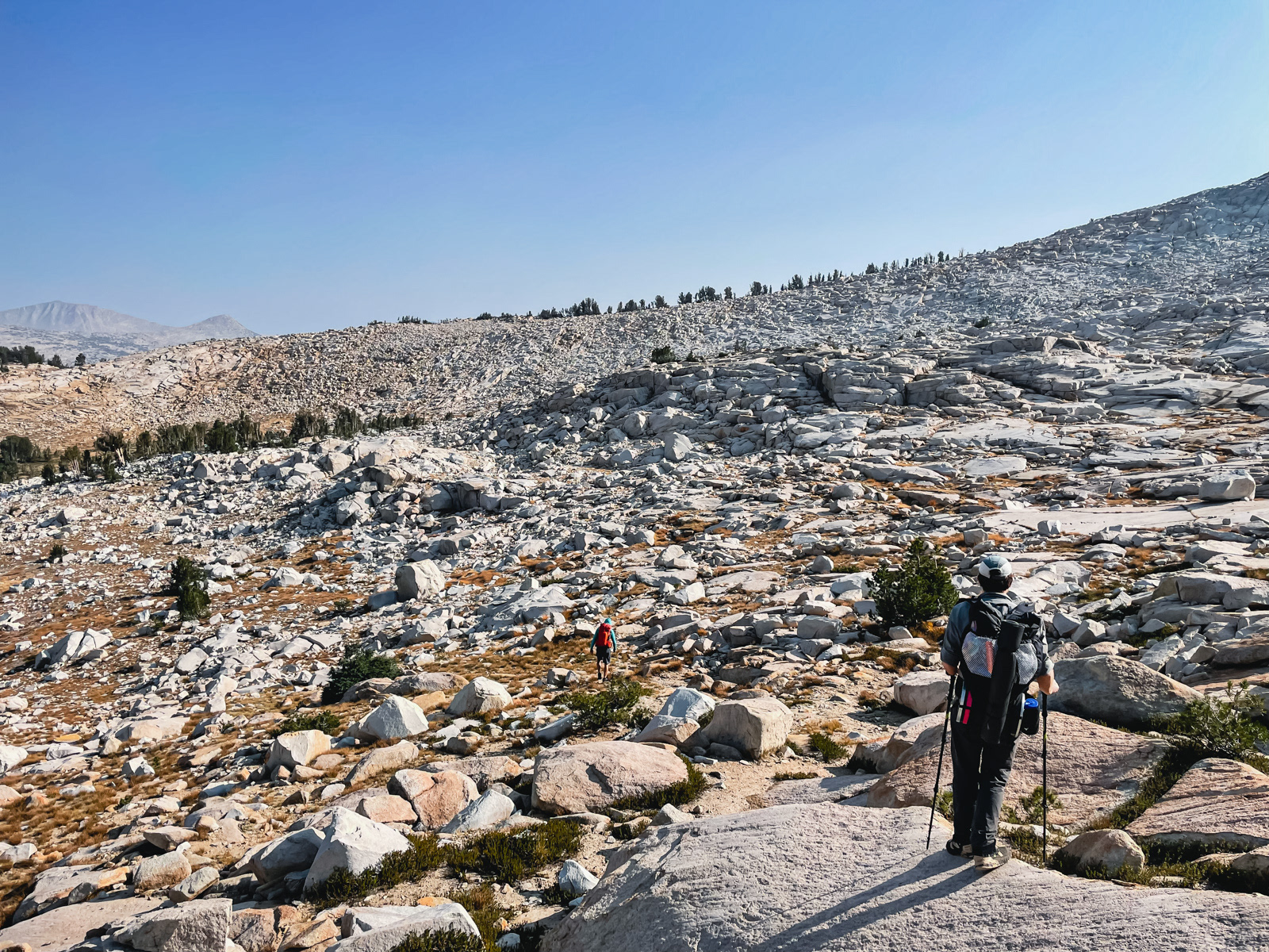
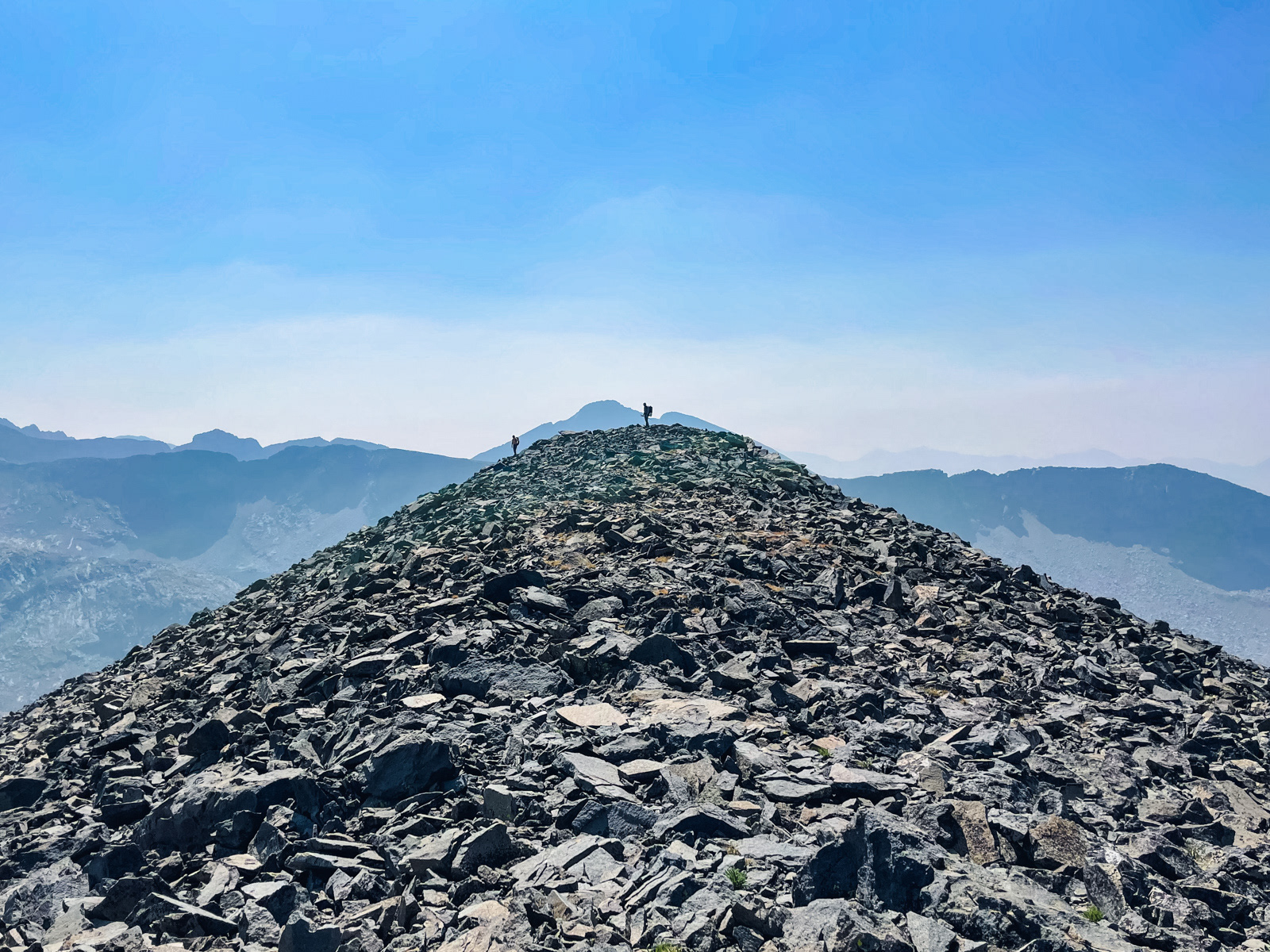
The talus covering the hillside was small and crumbly. Nothing moved a lot, but a lot moved a little.
We took a long break in the bowl between Parsons and our next mini-pass. It was an interesting spot that somehow reminded me of the broad, sloping plateau between Lonely Lake and Pterodactyl Pass.
We easily climbed the itty-bitty pass to the east and descended via slabs and drop offs to some meager tarns.
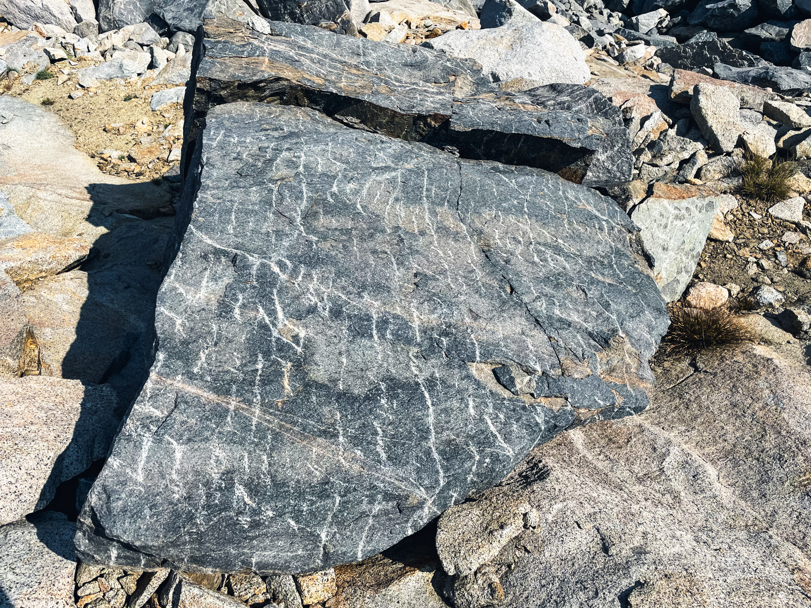
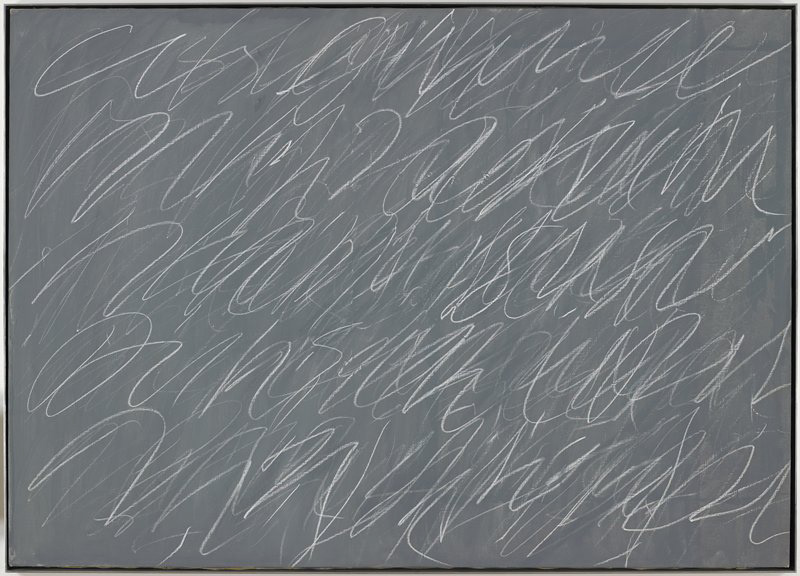
We came upon some Cy Twombly rocks.
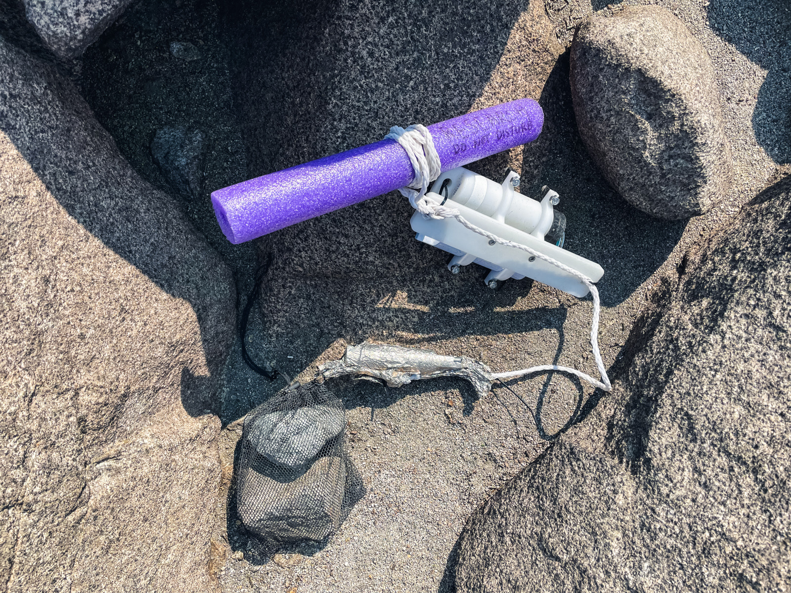
We discovered a nerf gun/research device in a dried up tarn bed.
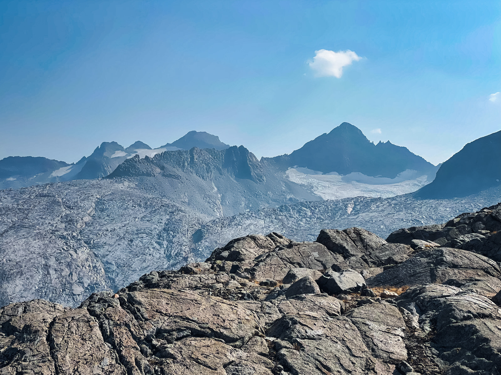
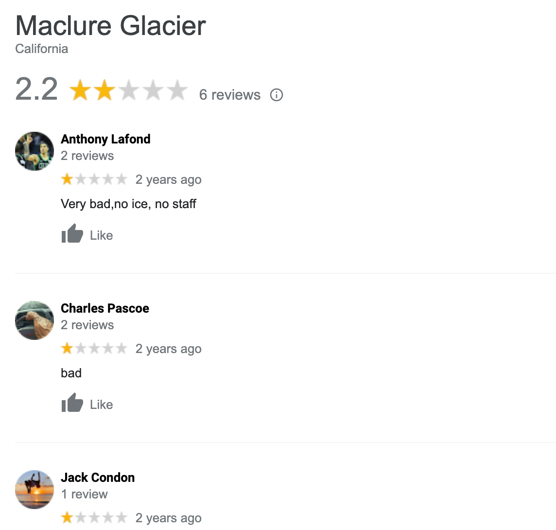
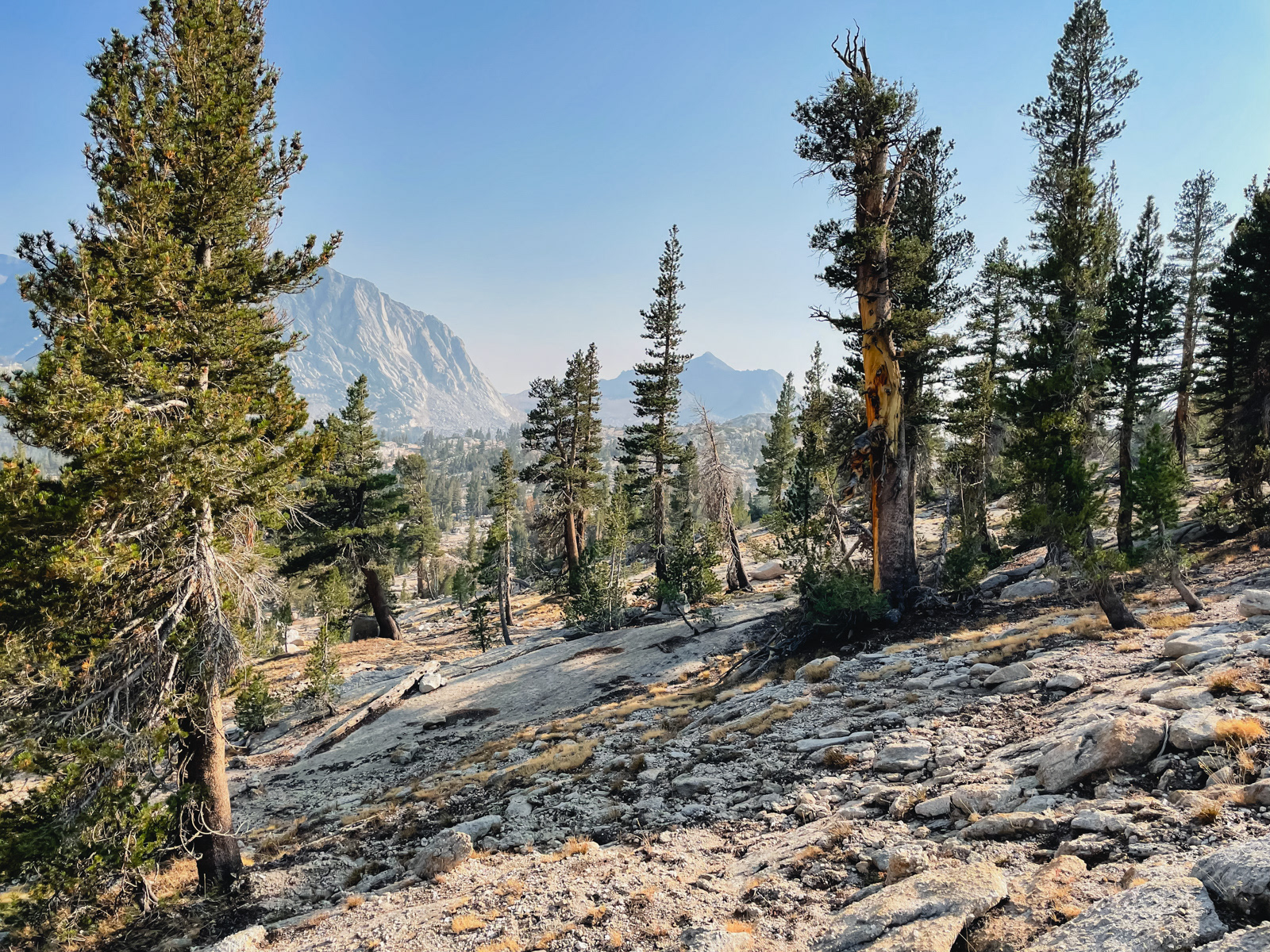
We were now in the Maclure drainage, with the diminishing glacier rising above us – one of the most poorly reviewed glaciers of all time.
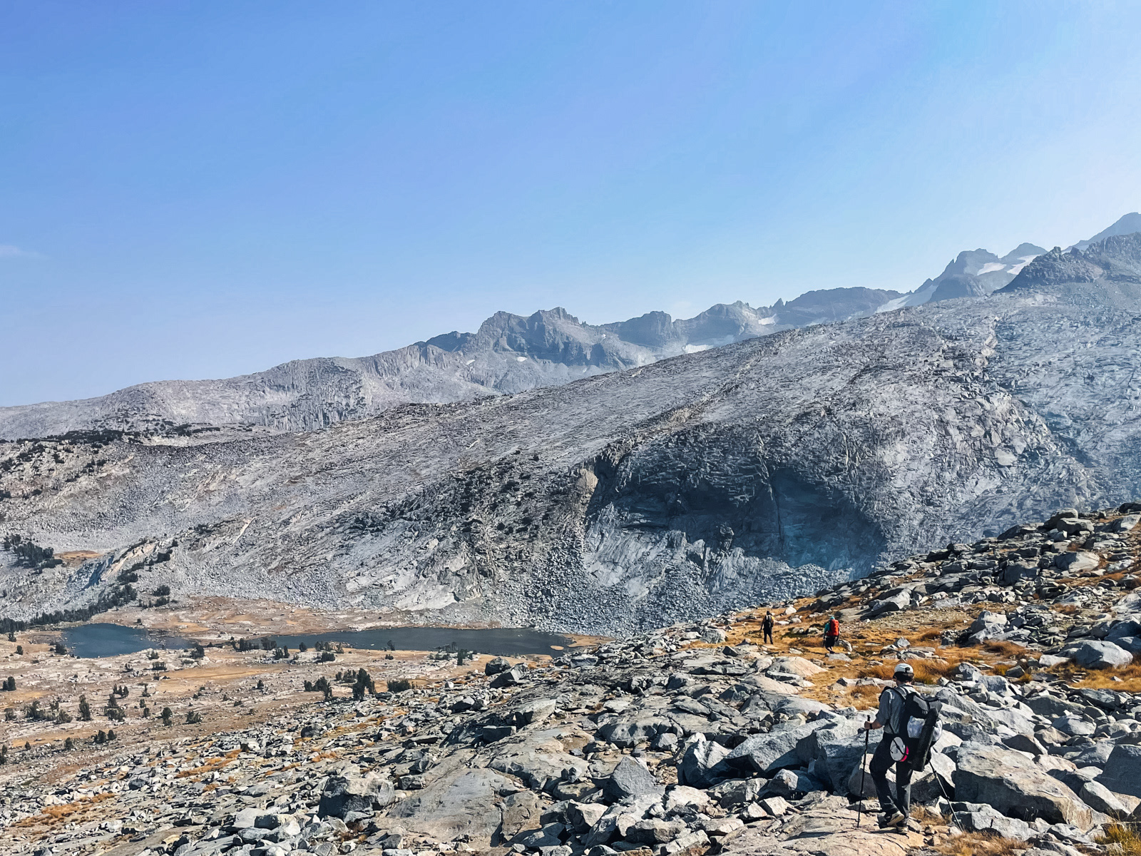
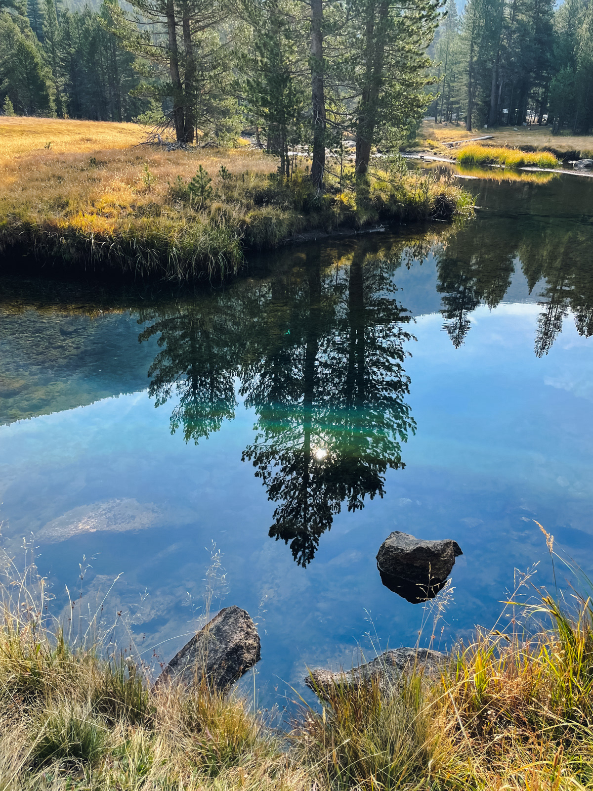
After negotiating a few more rocky spots, we hit upon a golden seam of grass that took us nearly all the way down to the unnamed lakes draining the Maclure Glacier. I took a quick swim in the shallow water.
The afternoon wind picked up and the temperature plummeted: late season in the high country.
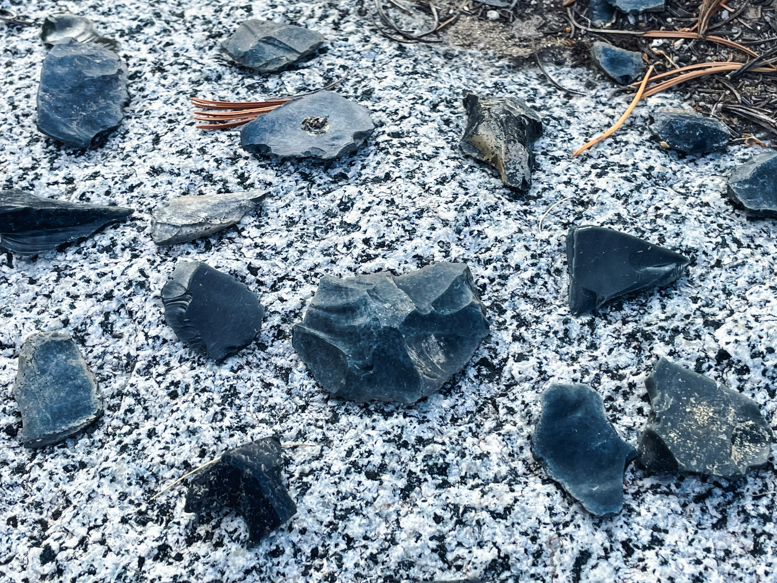
On a brief walk, I stumbled on a cache of partially formed obsidian arrowheads. (If you come upon something similar in your travels, please resist the urge to take anything home.)
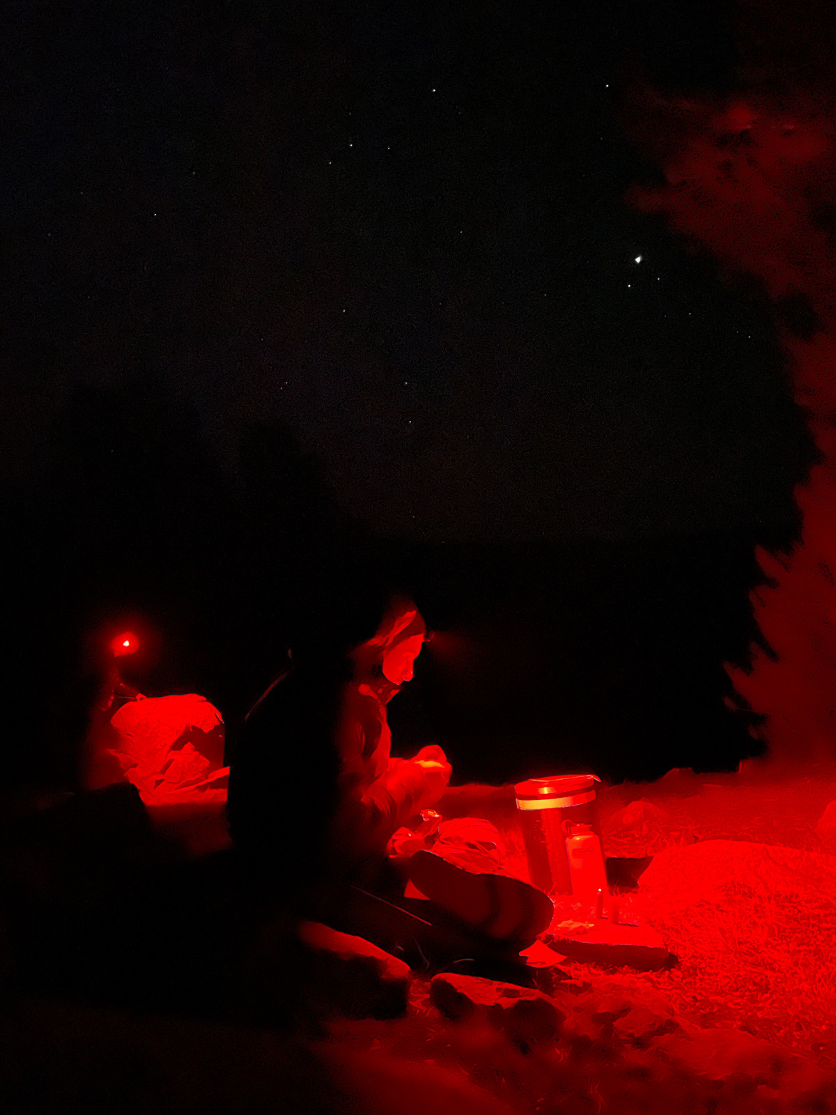
We ate dinner in all of our layers.
The wind died down and it was surprisingly not so cold overnight.
We took a more scenic, northern route to avoid a steep drop off below the lake.
I’d love to visit in greener times.
The clean lines of the topo make the descent to Lyell Fork look a bit simpler than it actually is.
There is a large boulder field farther down. Half of us skirted it on its southern margin while the other half barreled straight through. Both routes worked fine.
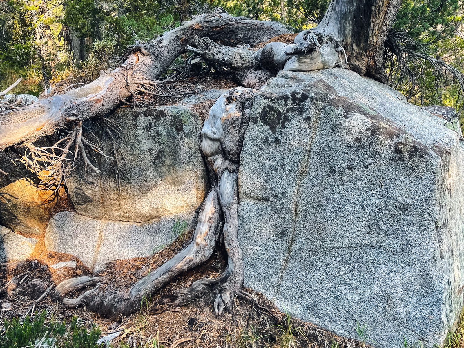
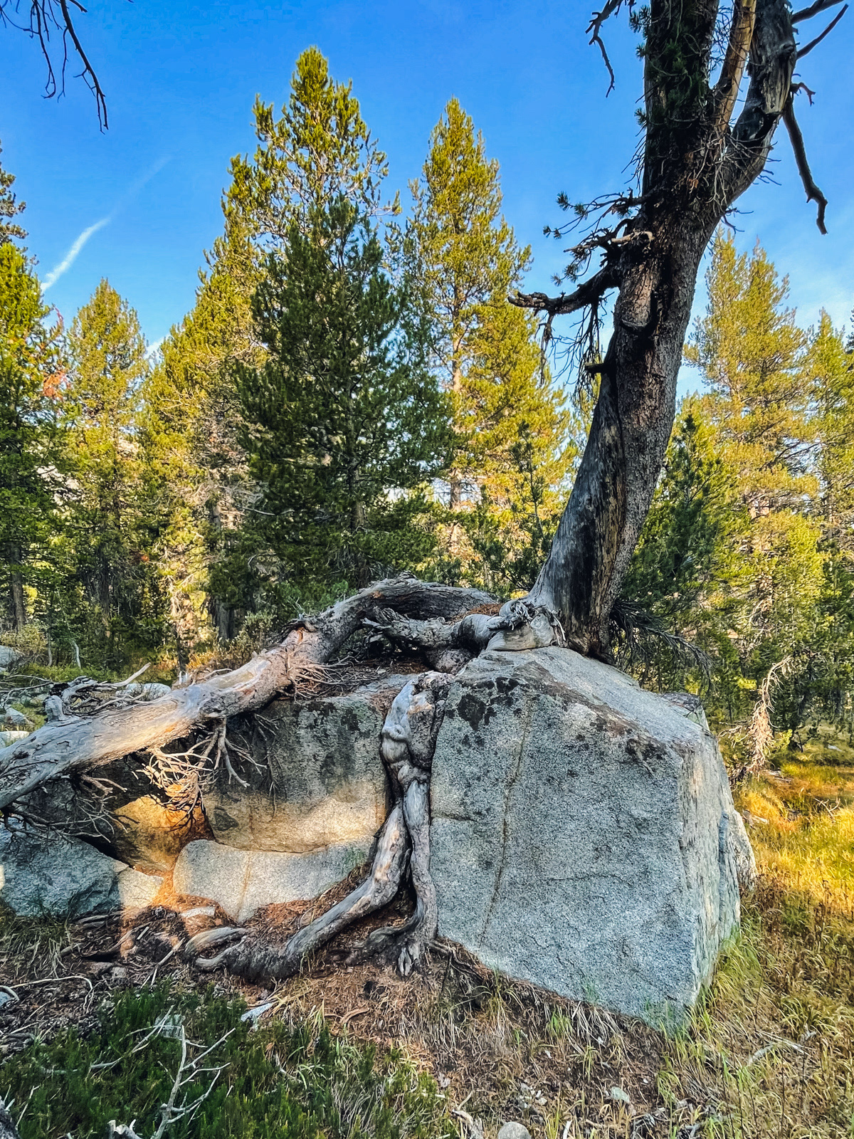
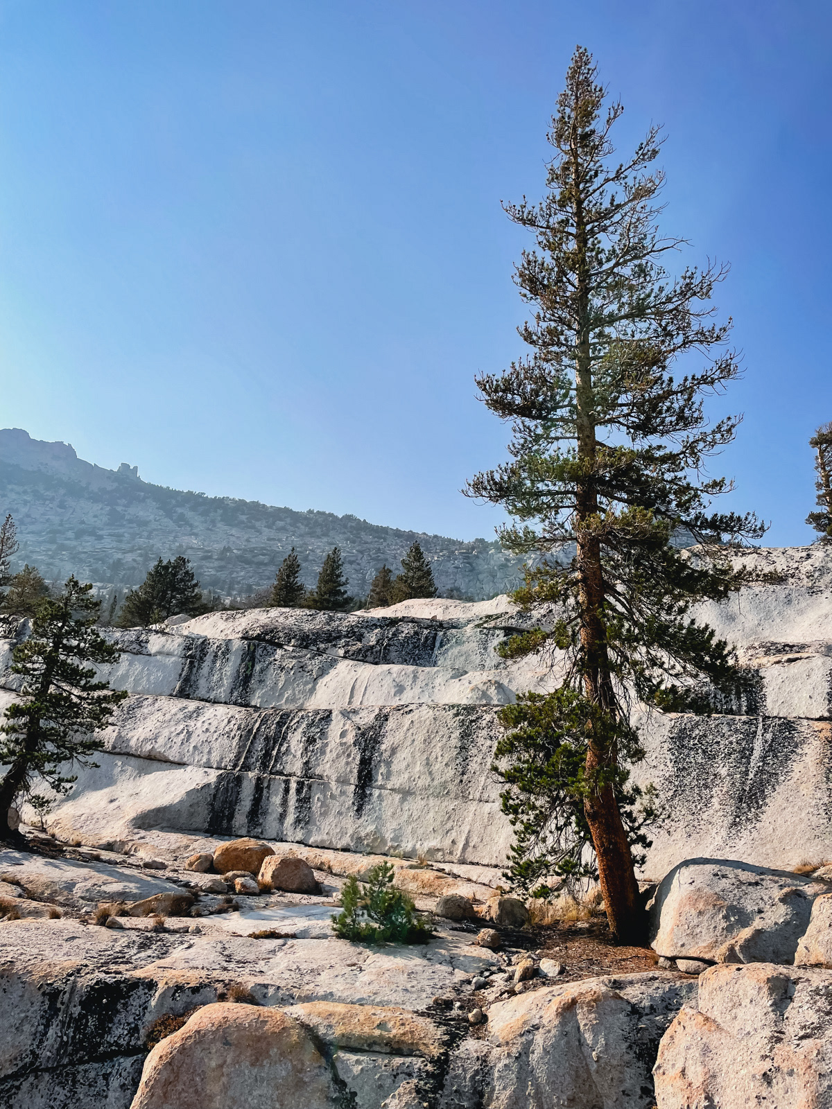
A hell of a place for a tree.
Soon we passed a tent and some people: welcome back to the JMT. With the gift of trail, it was now a sprint back to the car at 3.5 MPH. First we descended a steep rocky face to Lyell Canyon.
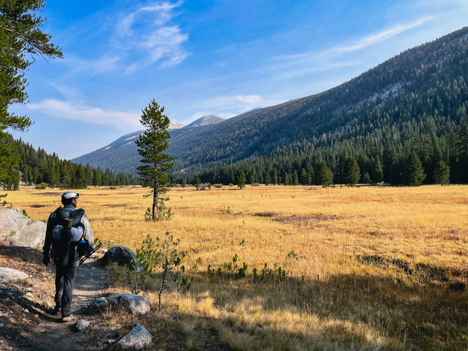
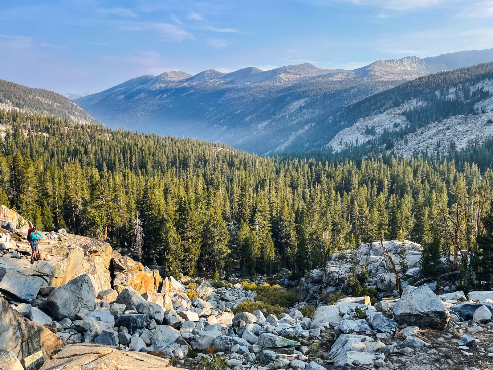
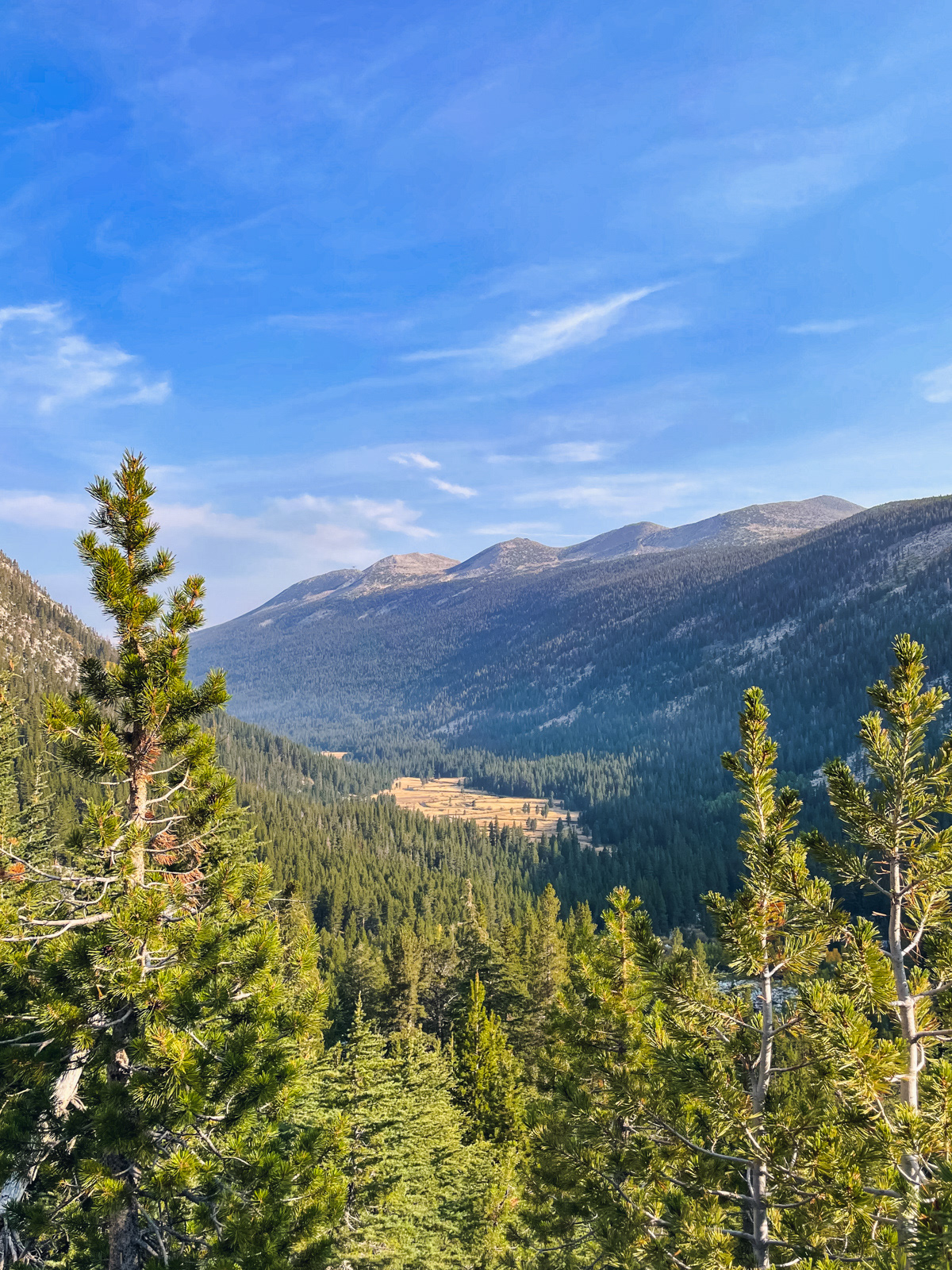
Lyell Canyon contains a gigantic meadow that extends the rest of the way to Tuolumne Meadows.
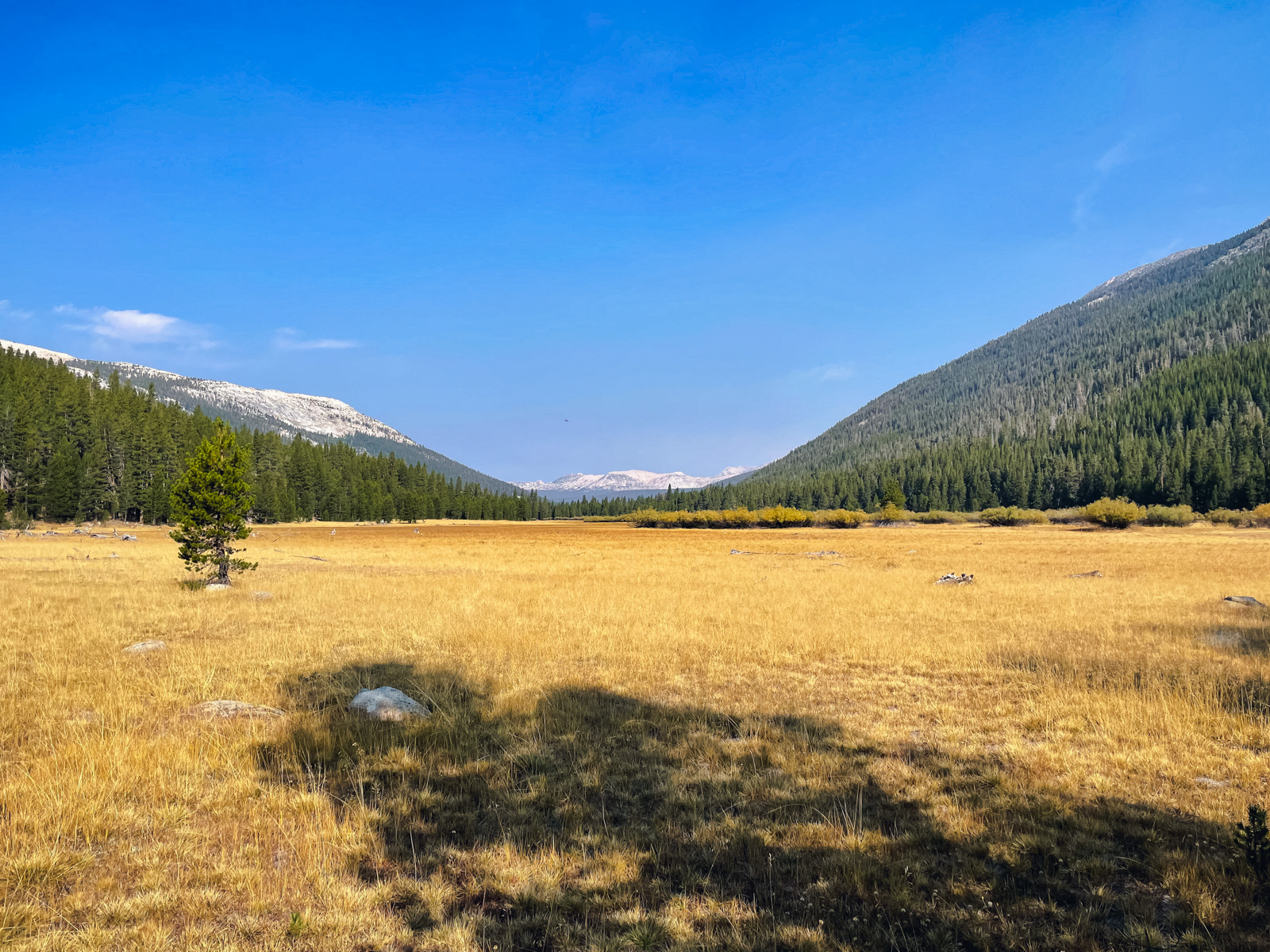
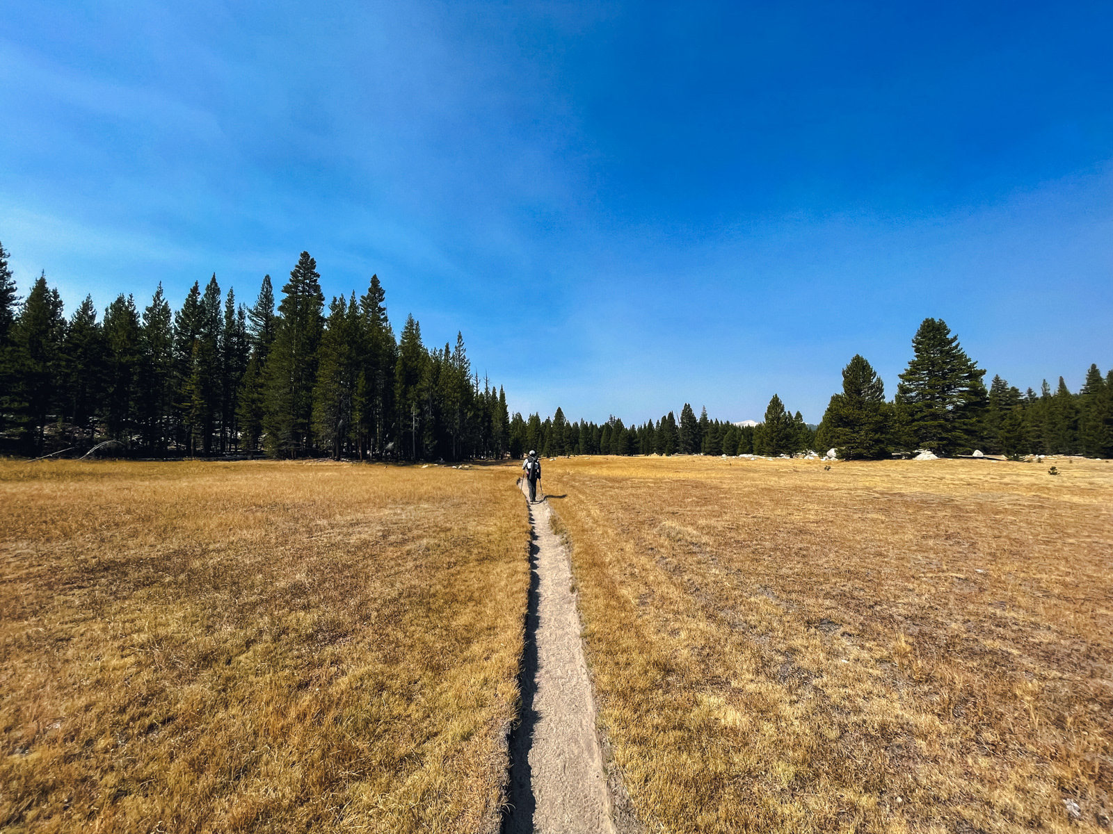
It was my first time passing through, and I’ve never been anywhere quite like it: 8+ miles of meadow.
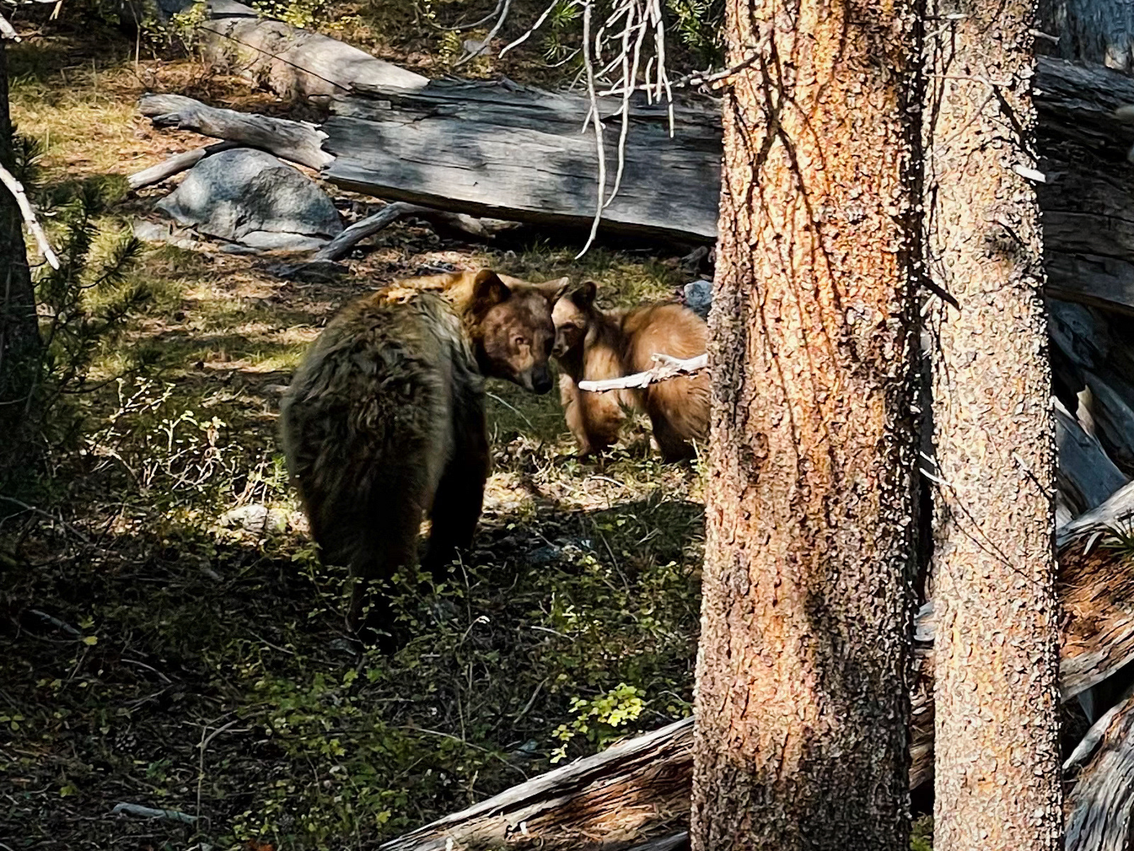
We happened upon a bear and cub, who scurried off the trail at our approach.
And that was that!
This was my favorite late season Sierra trip yet, and a killer route. It bounces back and forth between trail and cross country in a convincing and fun way. The route finding is varied and relatively easy: the sublimely smooth glaciation of Yosemite makes for civilized travel. And the views from the Parsons Traverse are stunning.
It’s 32 miles (half cross country) with only 6,000 feet of gain. What’s not to like! I’d do the same trip again in a heartbeat. Ideally with less smoke.
For my nerds:
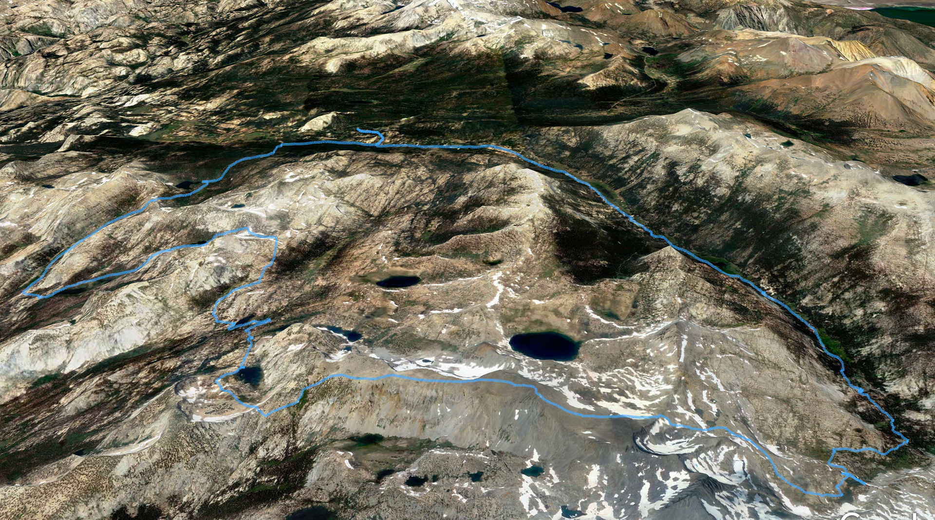
Tuolumne Meadows > notch south of Elizabeth Lake > Echo Creek > Nelson Lake > unnamed pass east of Reymann Lake > Boothe Lake > Vogelsang Pass > Parsons Traverse > unnamed pass east of Parsons Peak > Maclure Creek > Lyell Canyon > Tuolumne Meadows
Tuolumne Meadows > notch south of Elizabeth Lake > Echo Creek > Nelson Lake > unnamed pass east of Reymann Lake > Boothe Lake > Vogelsang Pass > Parsons Traverse > unnamed pass east of Parsons Peak > Maclure Creek > Lyell Canyon > Tuolumne Meadows