July 7 - 9, 2023
I love the Emigrant Wilderness. This was not a trip to the Emigrant Wilderness.
Rather, we found ourselves immediately to its south, wandering the granite wedged into the northwestern corner of Yosemite. This sky island measures only 5 by 3 miles or so, hemmed in by Kibbie Ridge to the west, Cherry Creek Canyon to the north and the long, plunging headwall towering above Kendrick Creek to the south east.
It’s a beautiful and somewhat forgotten edge piece in the puzzle of Yosemite, spiritually akin to Emigrant Wilderness but possessing its own gnarled contours.
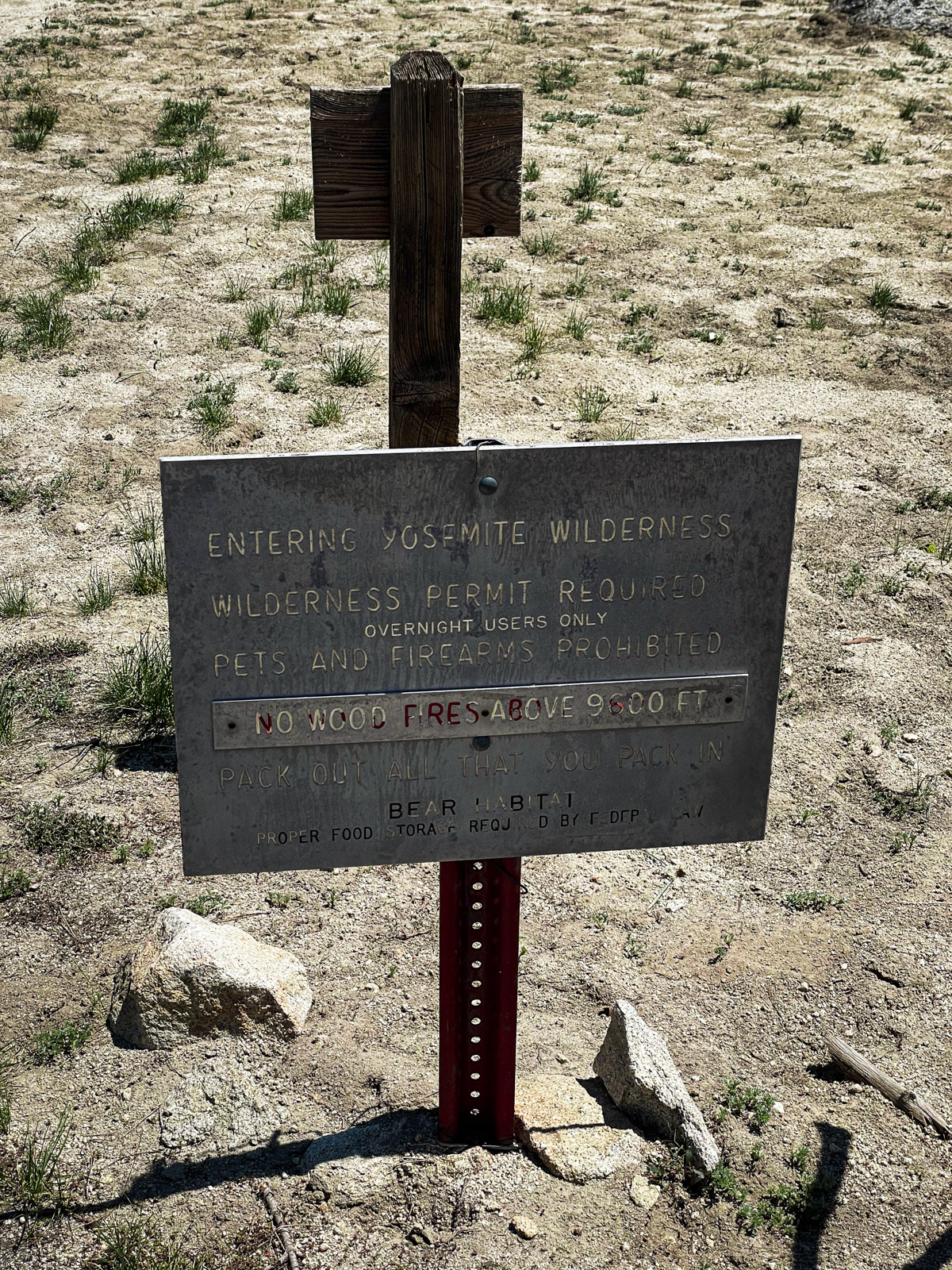
The best access is via Kibbie Ridge, a broad escarpment along the eastern shore of Cherry Creek Reservoir. From the Shingle Springs trailhead, it’s nine miles of modest forest and overgrown trail that’s often dry as a bone. In this unusually colossal snow year, water was not an issue.
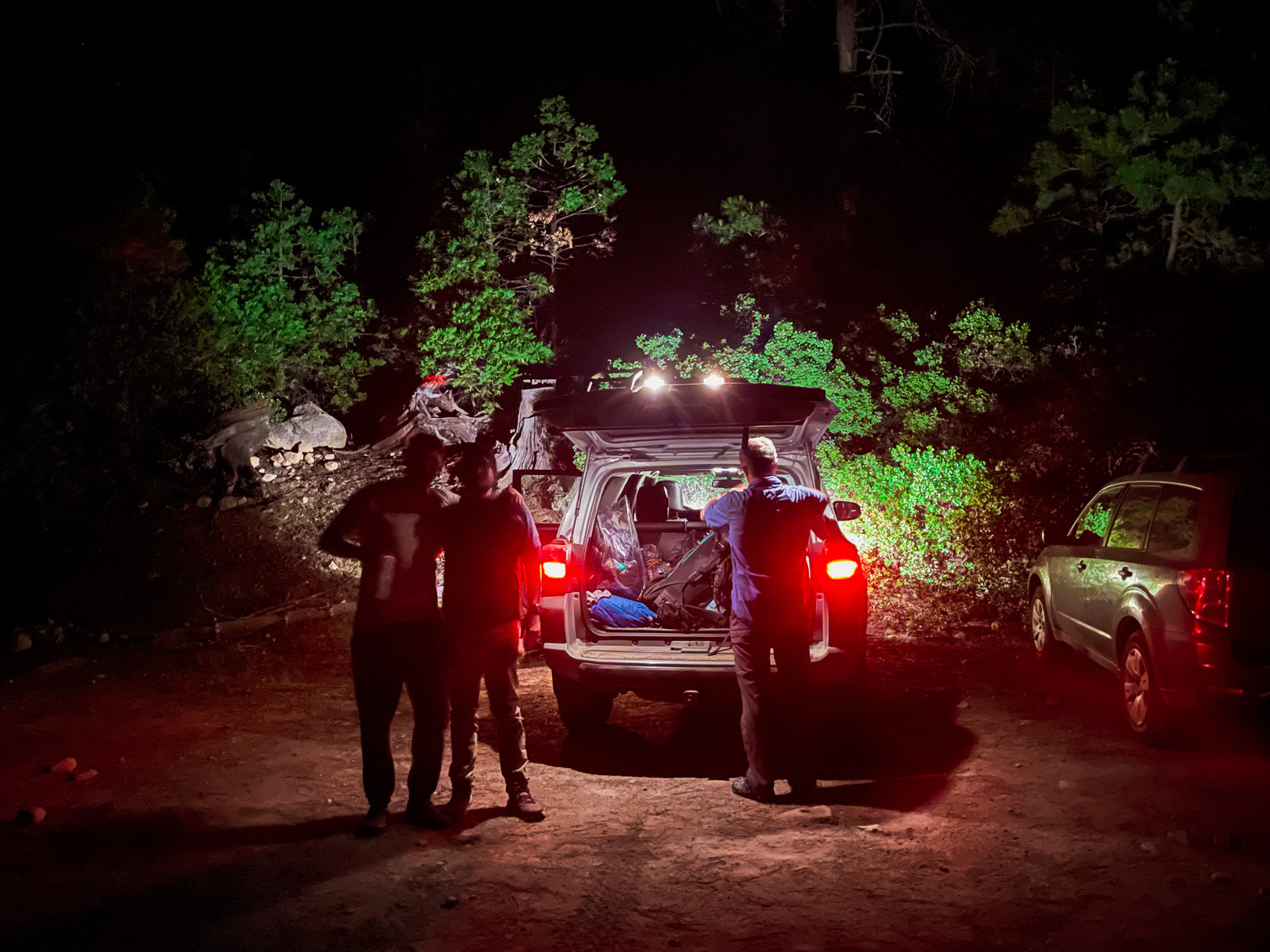
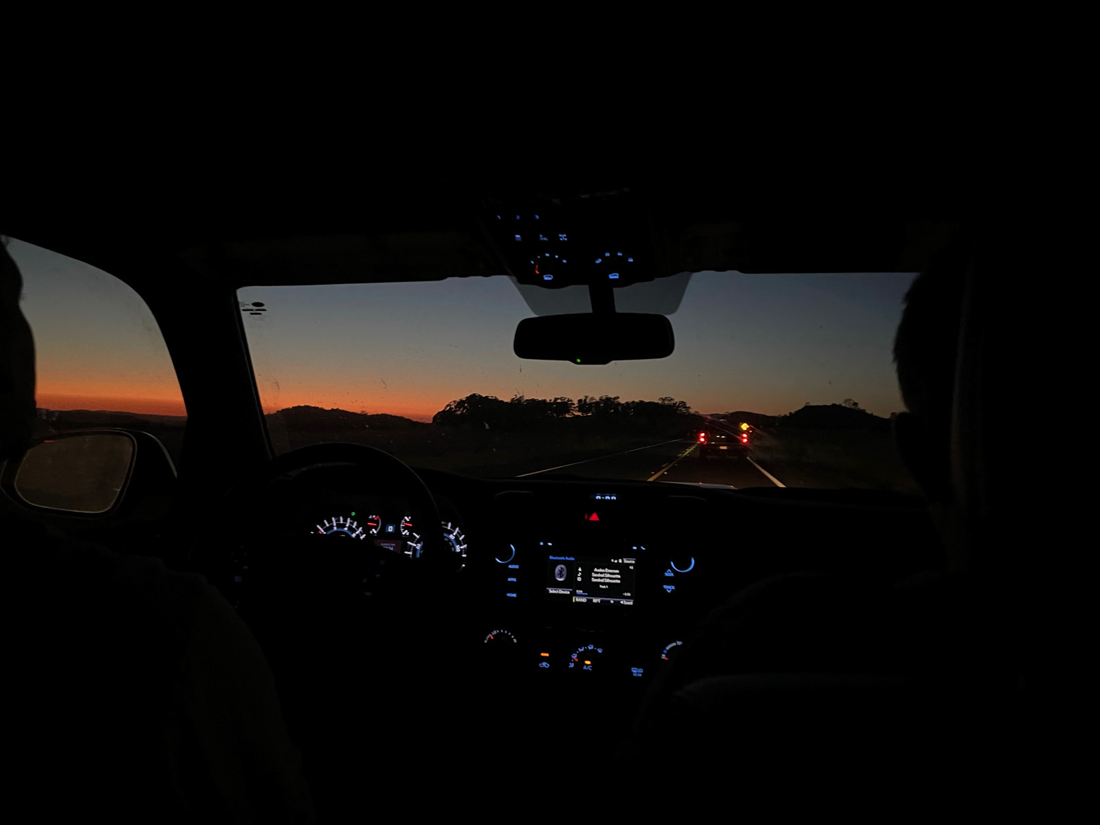
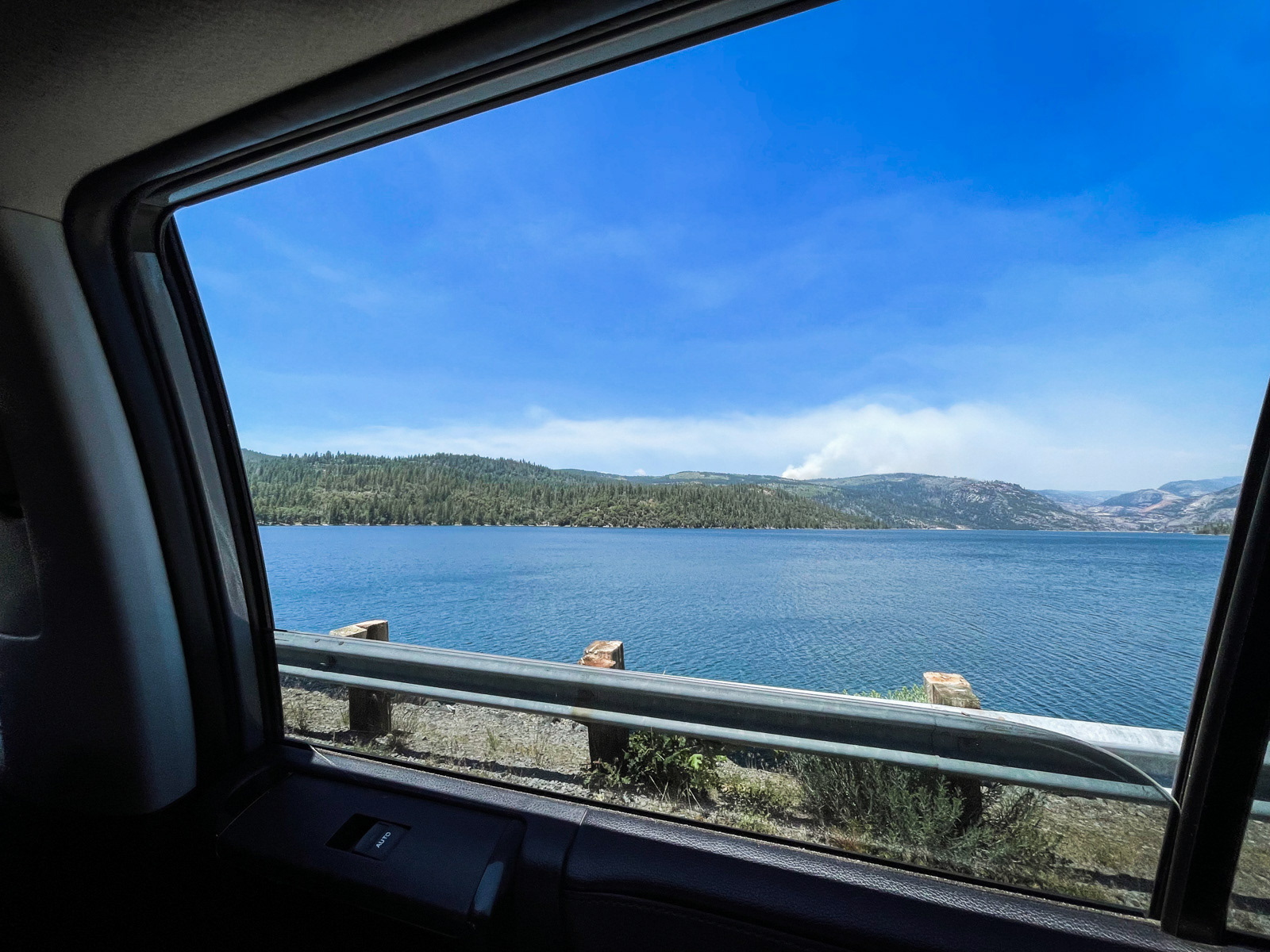
The drive to the Cherry Creek Reservoir is on a good paved road. The final dogleg up to Shingle Springs is on a rougher dirt road, but we made it there without issue around midnight. (Strangely, the parking lot was packed with cars on this Thursday evening, but empty when we returned early Sunday afternoon.)
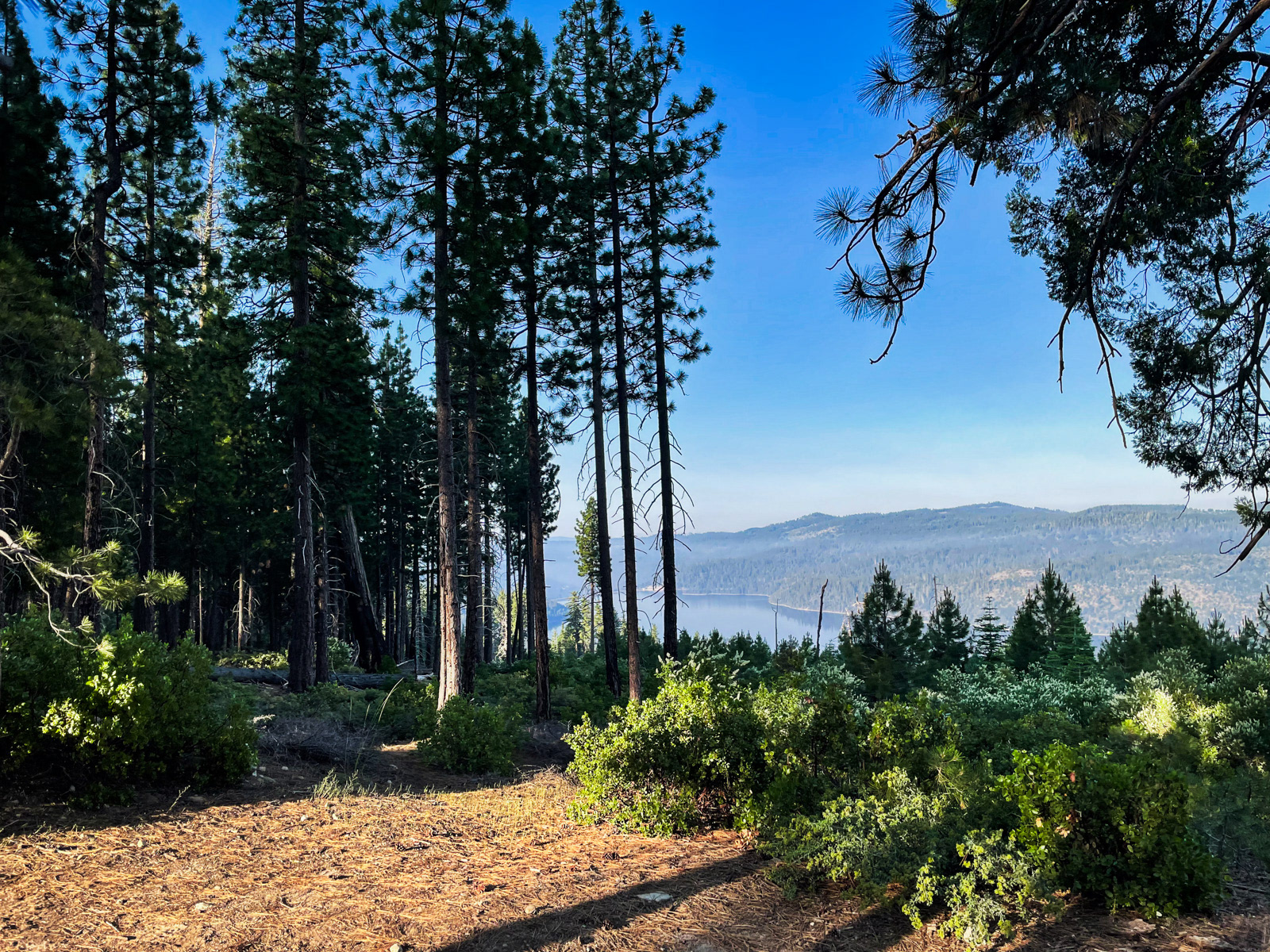
I slept amazingly well and was surprised to see a nice view of the reservoir in the morning. This is also when we learned that there was a controlled burn happening west of the reservoir, throwing a bit of smoke up into the air.
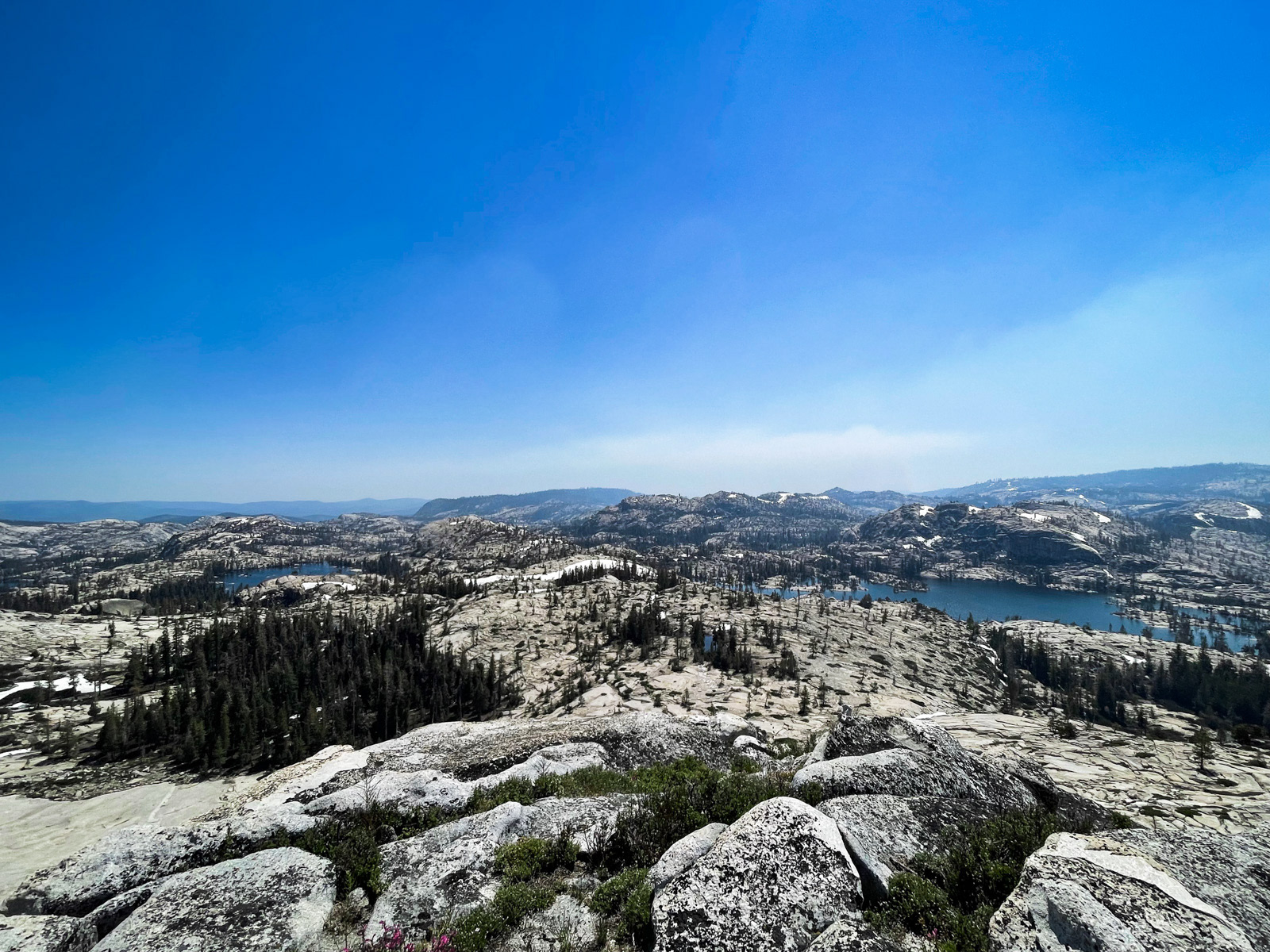
A lot going on here.
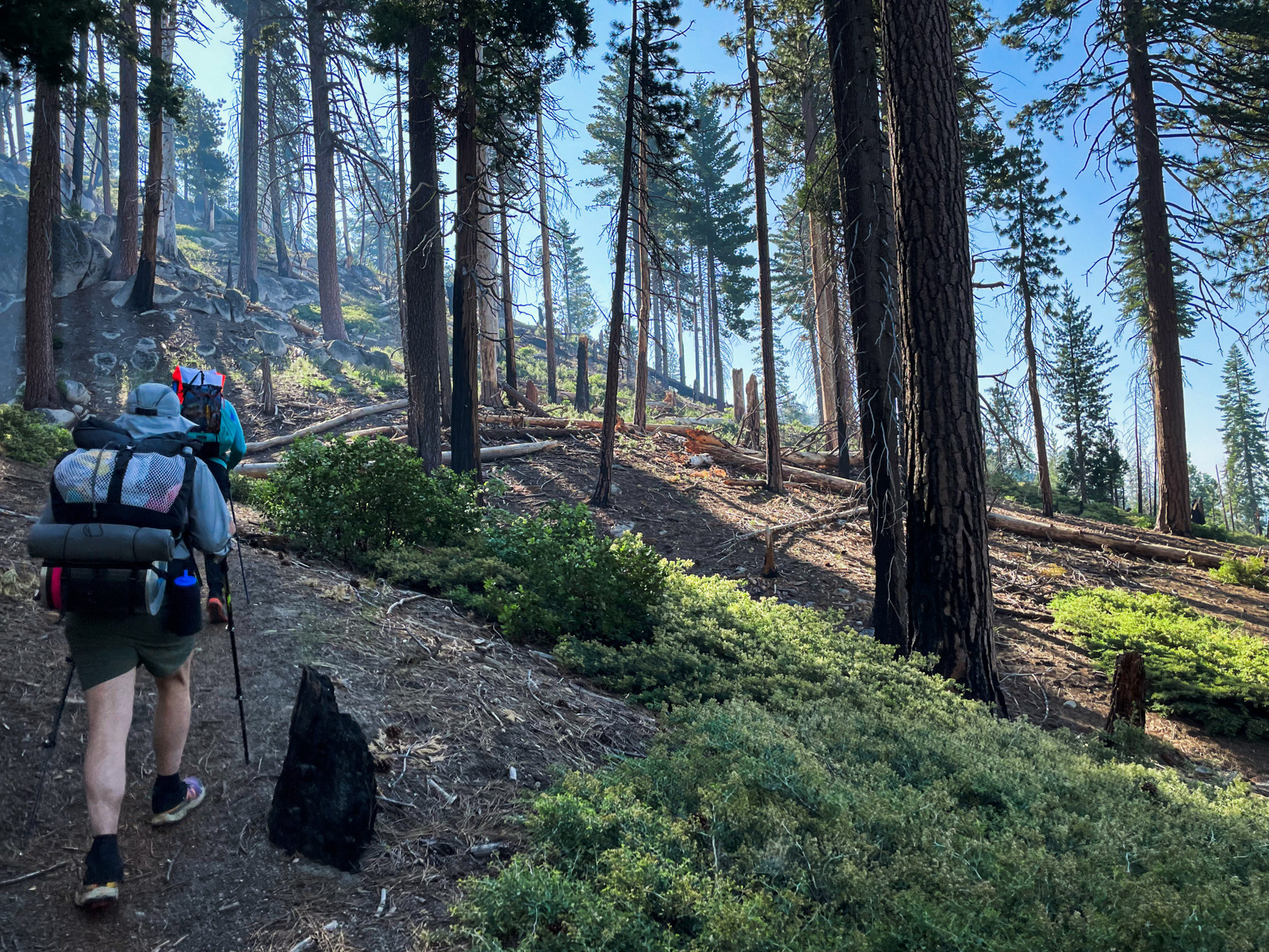
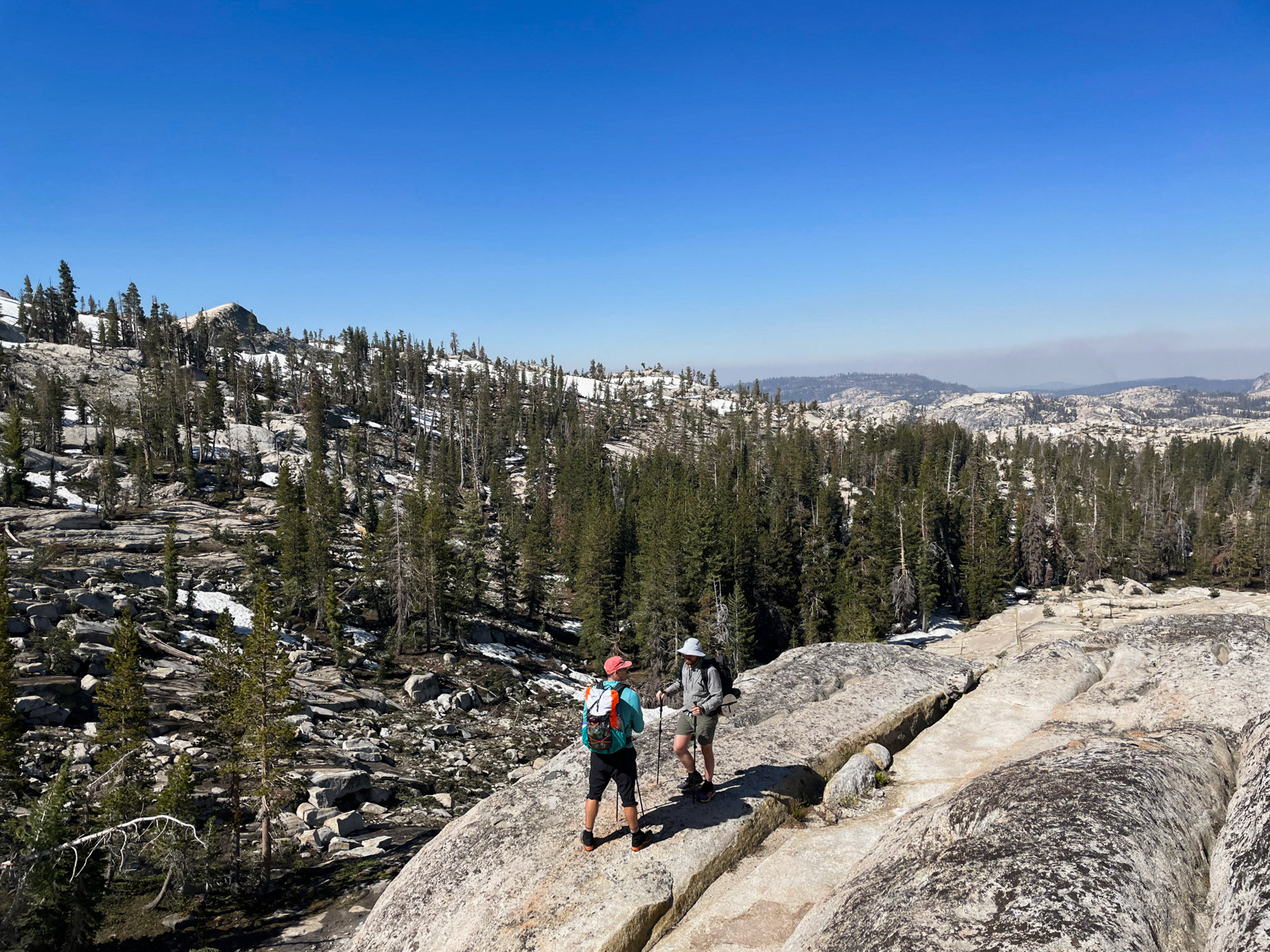
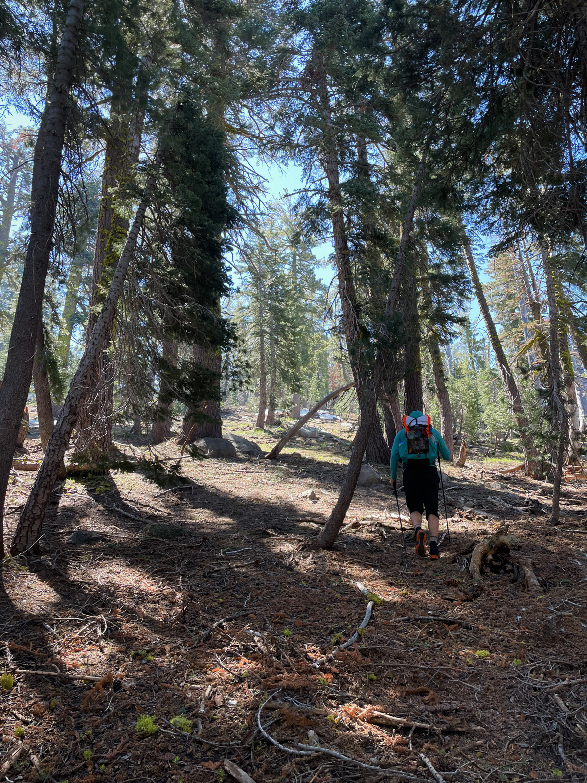
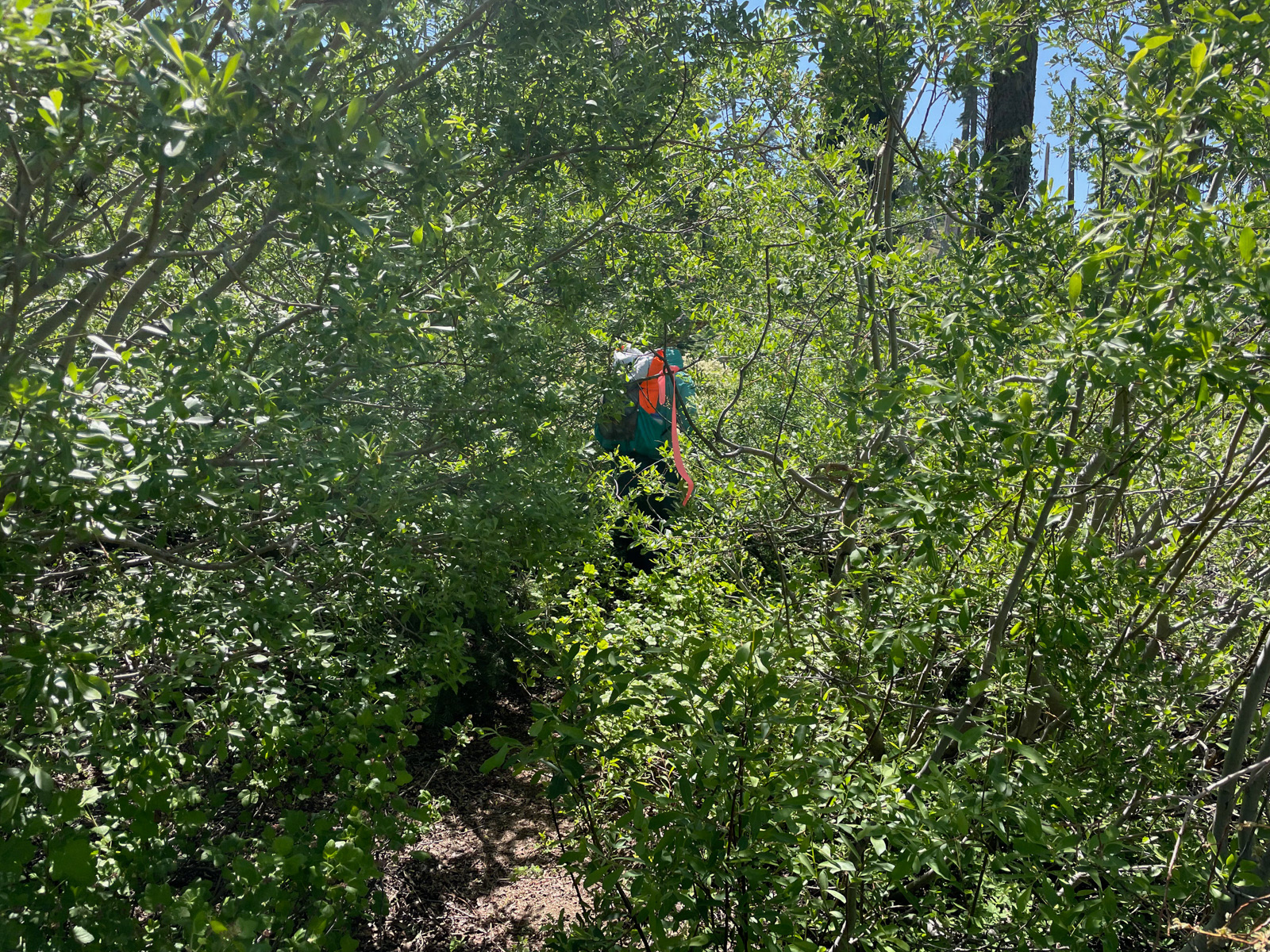
We dawdled until 8:45. It was hot and airless as we started hiking, but the trail is well graded and fairly innocuous, with the exception of a few pretty rough sections of extremely overgrown, bushwacky trail. Not a ton of people come this way.
NB: Take a look at this man’s calf. It will not emerge from the mountains looking quite so pristine.
We met up with a father and son on their way back to the trailhead who passed along the amazing news that there were no mosquitos (!). This was incredible: we had already made peace with the idea that the bug apocalypse was awaiting us.
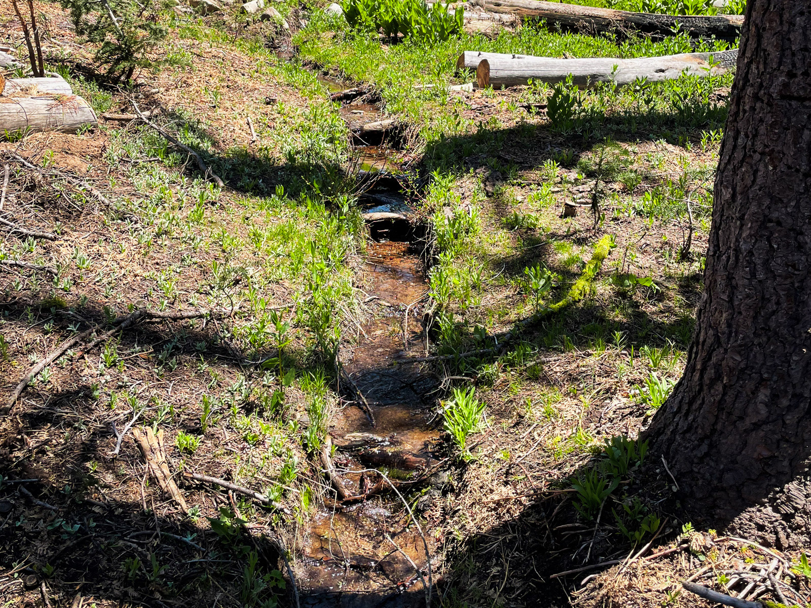
We got water at Sasche Spring, which was flowing all over the trail. For the next few miles, the trail was often a small creek.
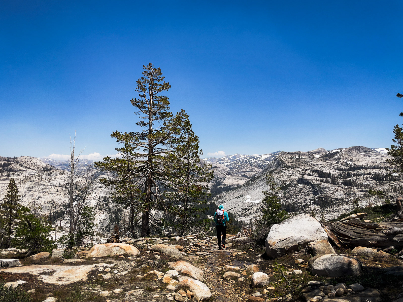
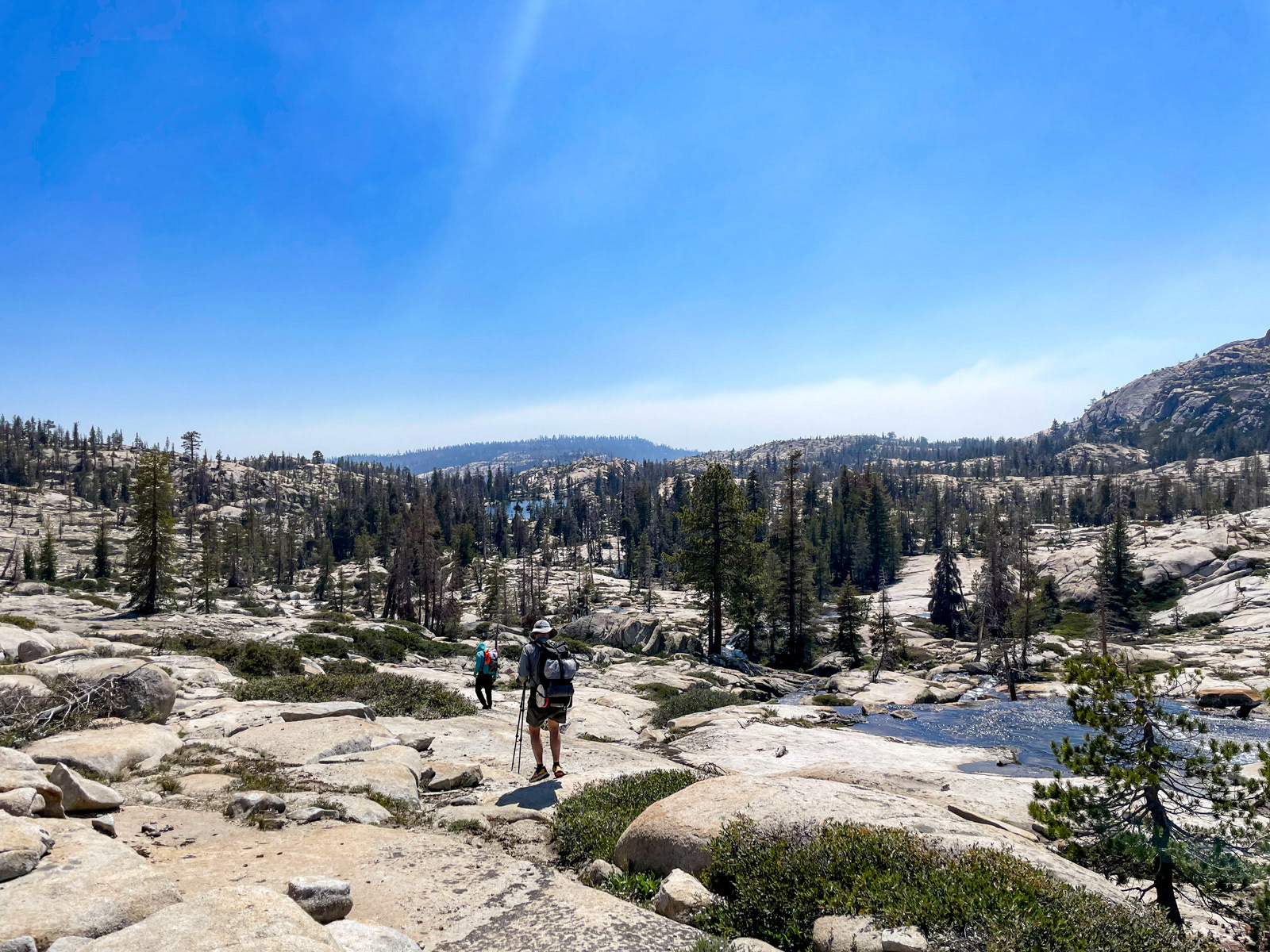
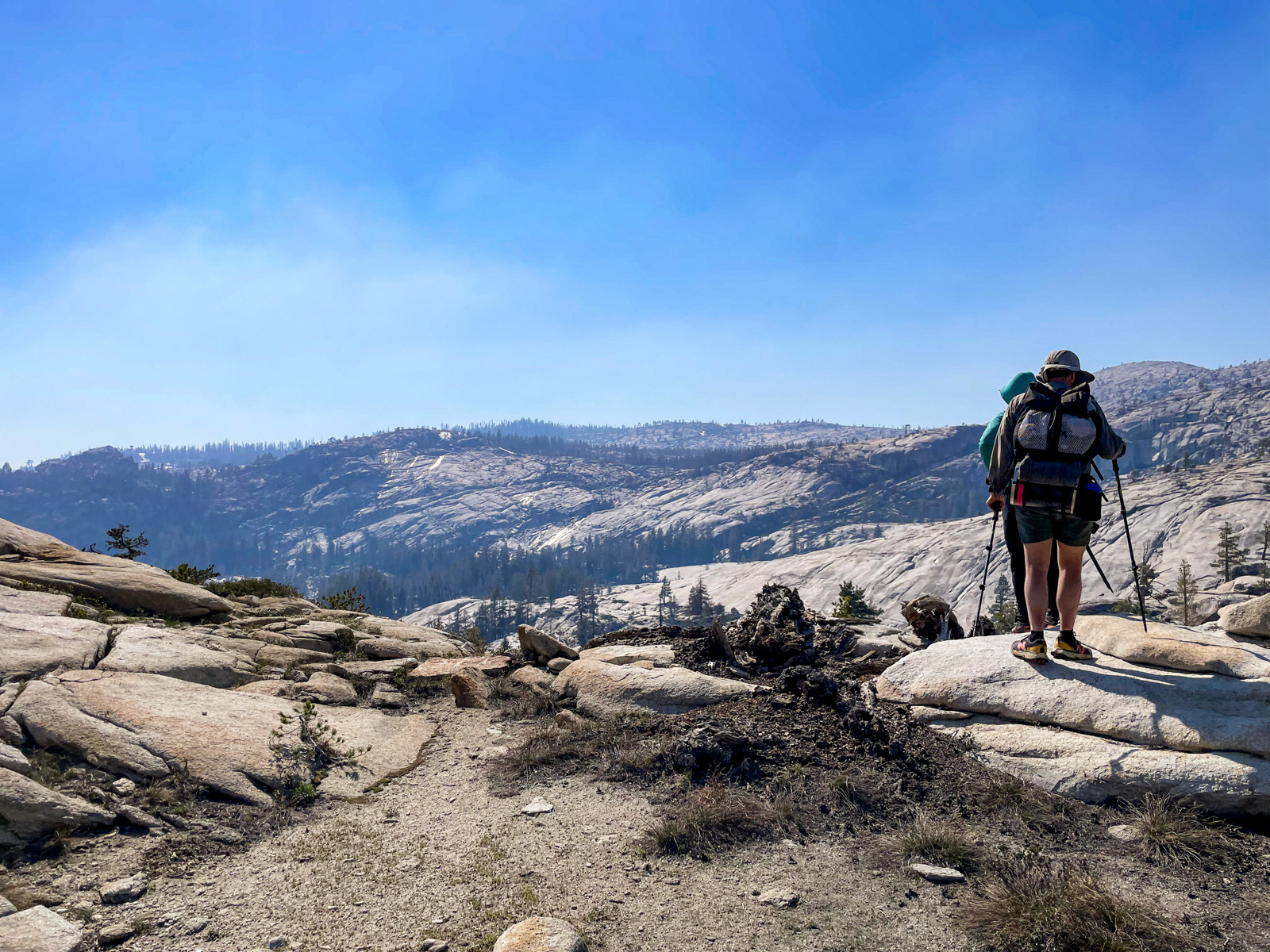
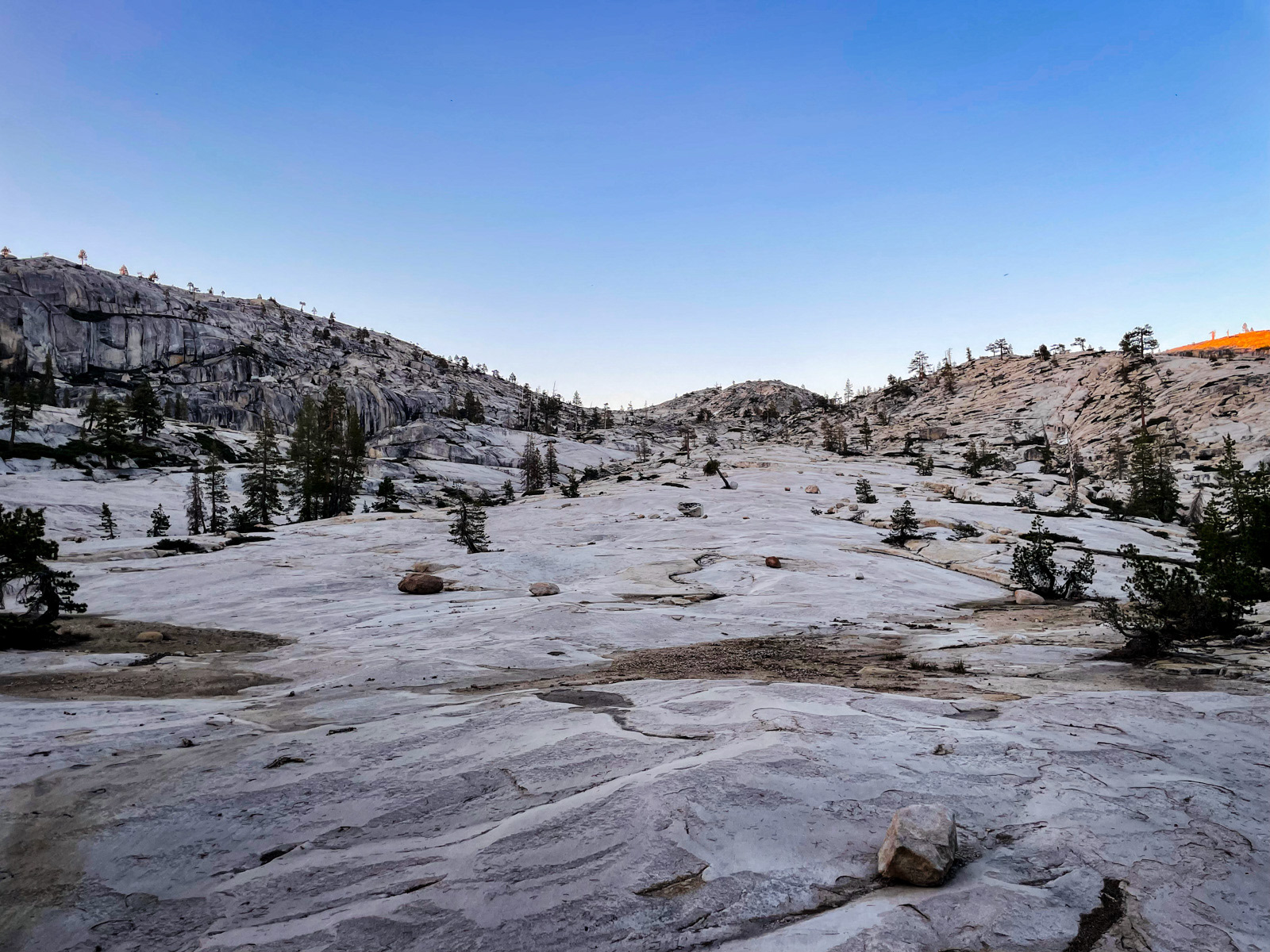
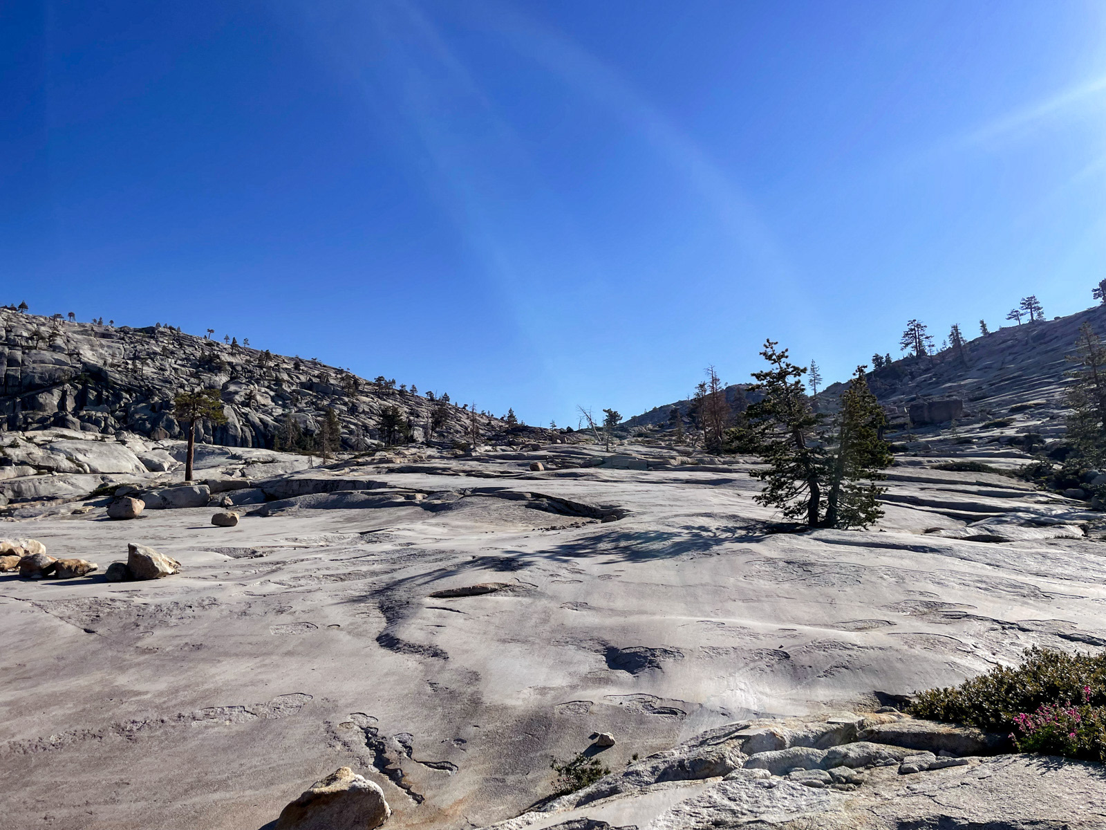
As we approached Styx Pass, the views opened up onto miles and miles of granite. Finally – the good shit!
We climbed up toward Boundary Lake. Here we left the trail, and wouldn’t be walking on another one for two days.
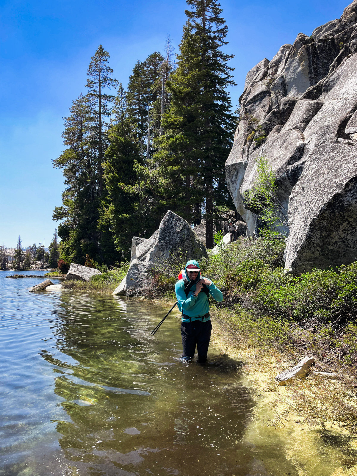
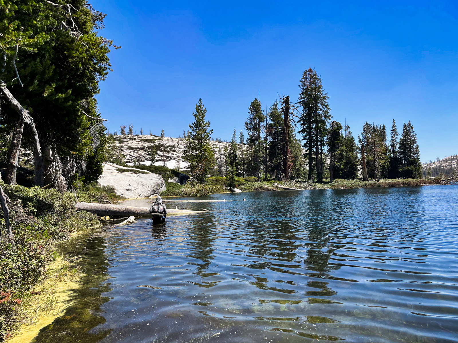
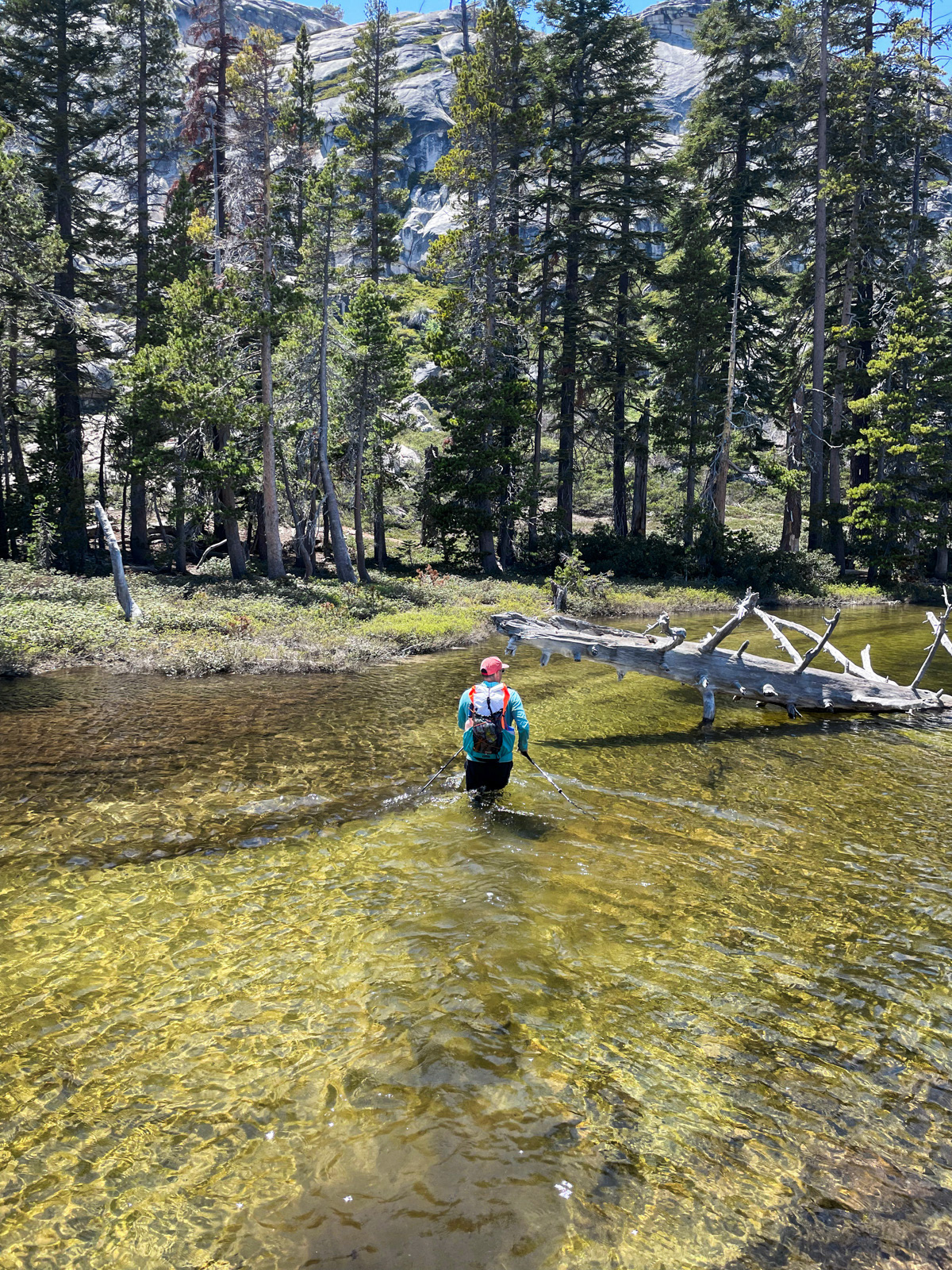
We tried to cross at the north end of the lake, but were eventually forced to wade its margin. The water was surprisingly warm.
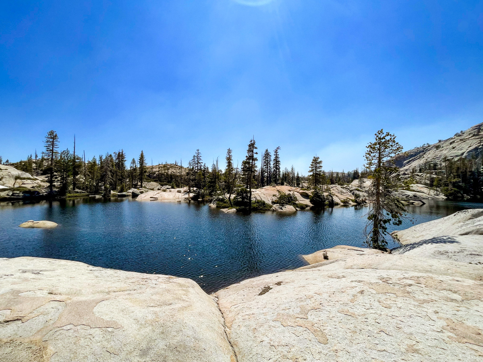
Boundary Lake is pretty.
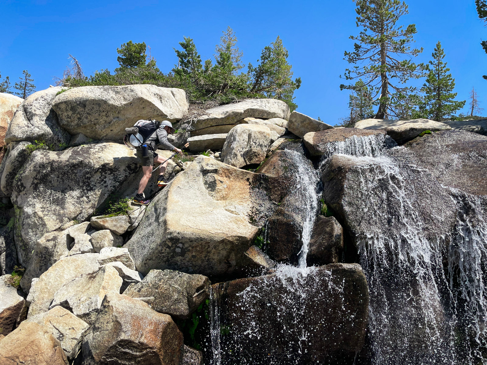
We lolled around the east side of the lake, and happened upon some seasonal waterfalls that were perfectly set up for a head dunk, which felt great in the heat.
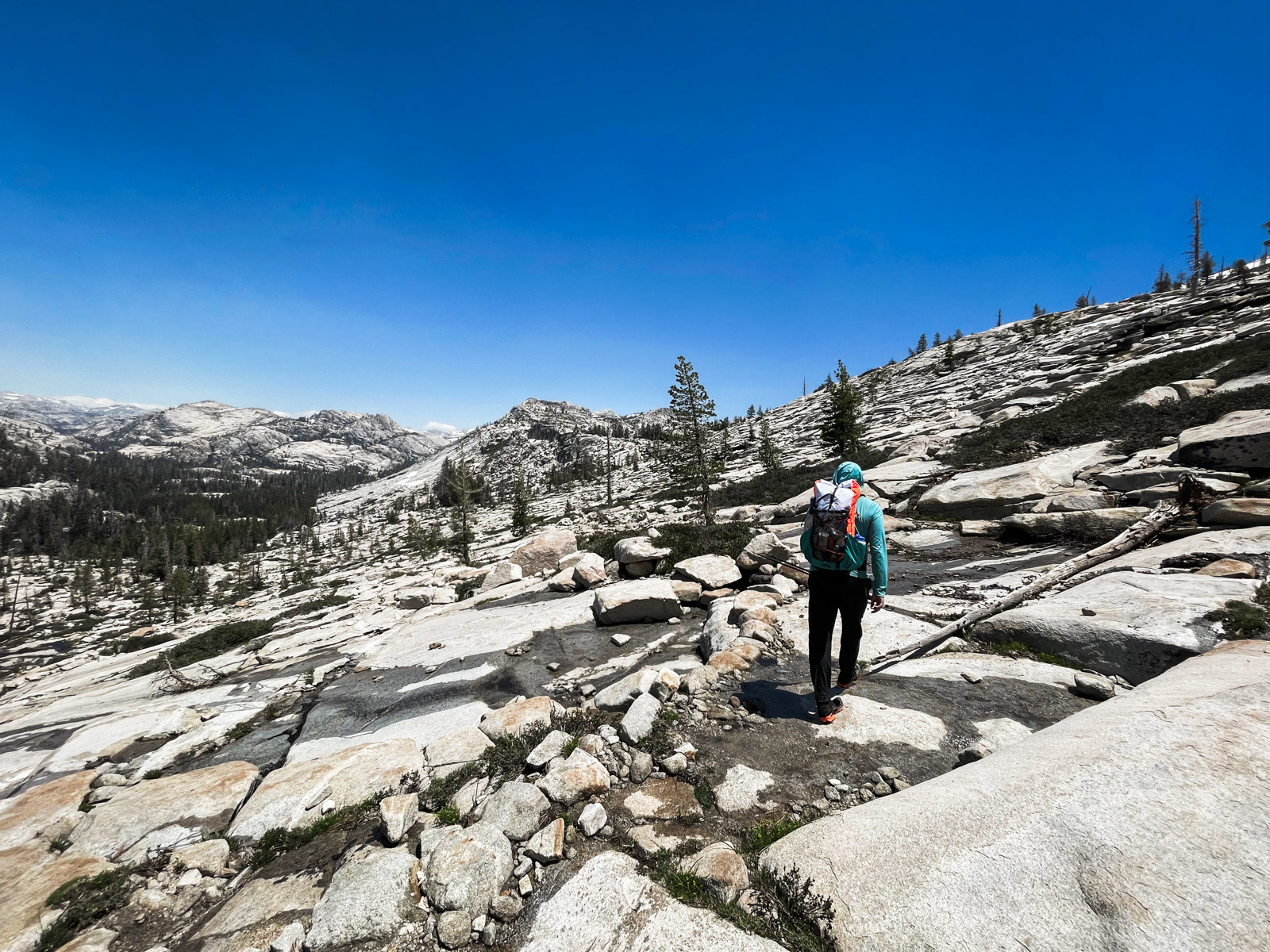
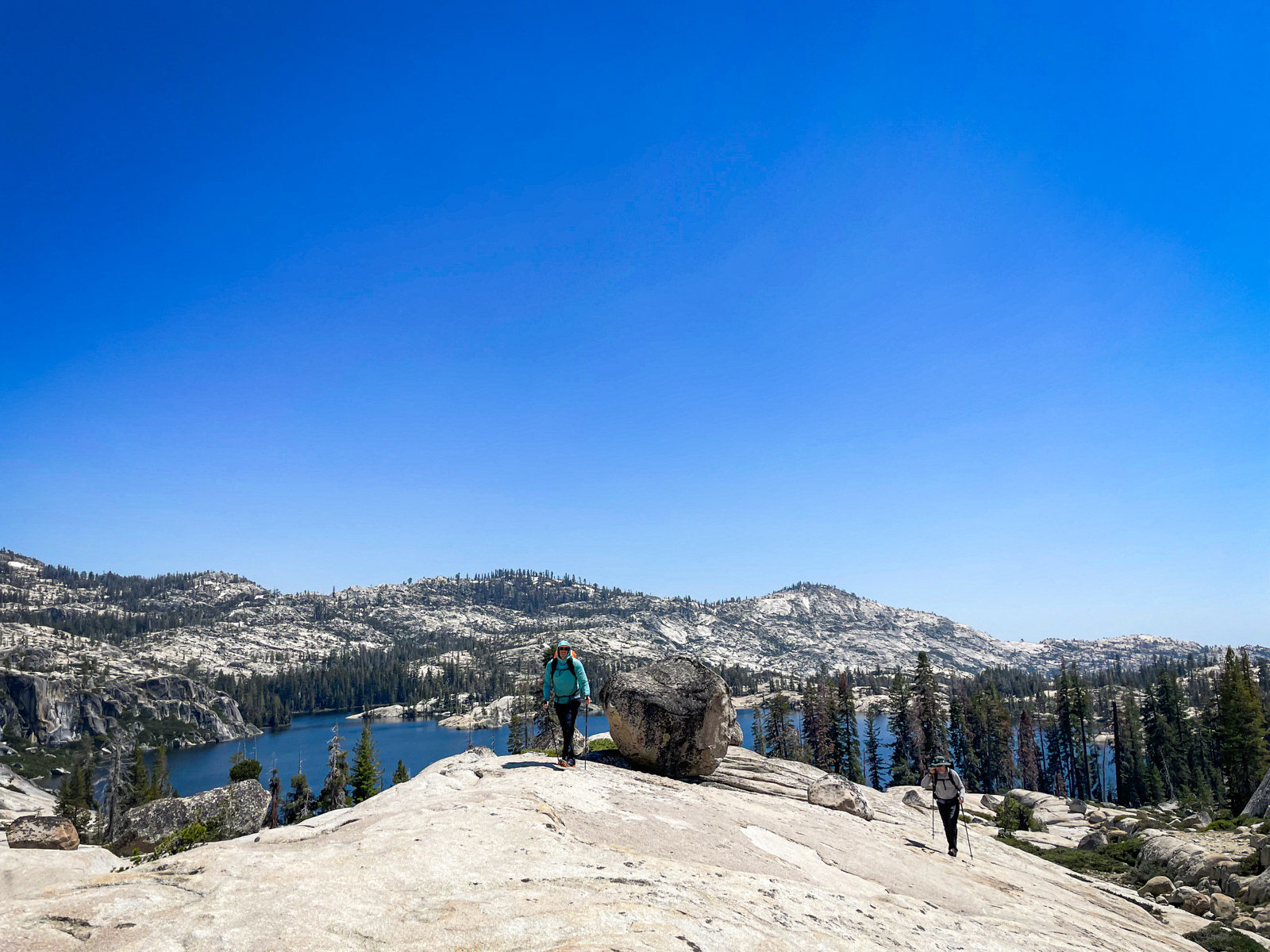
Soon we were meandering towards Bartlett Peak. The terrain east of Boundary is lovely if a bit knotty.
We climbed the western shoulder of the peak in front of Bartlett (x8219 on the topo). In retrospect, it actually has a nicer view than Bartlett, looking out over the gorgeous chain of lakes we’d be wandering tomorrow.
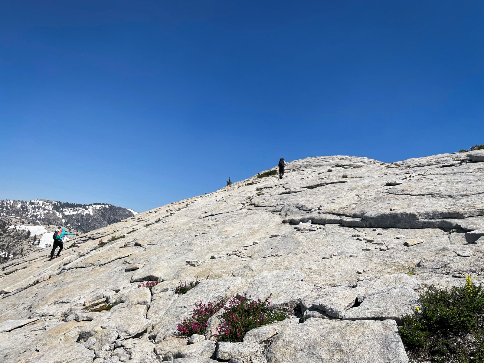
We contoured around the backside of Bartlett on good if sometimes steep slabs, and then back up to the peak.
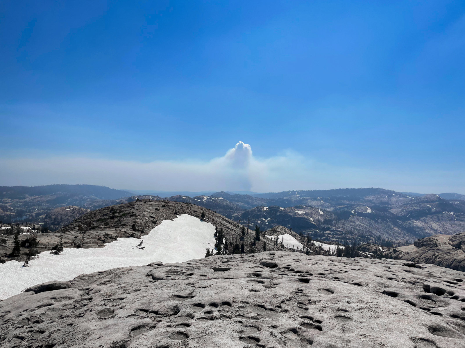
We had a good view of the controlled burn by the reservoir.
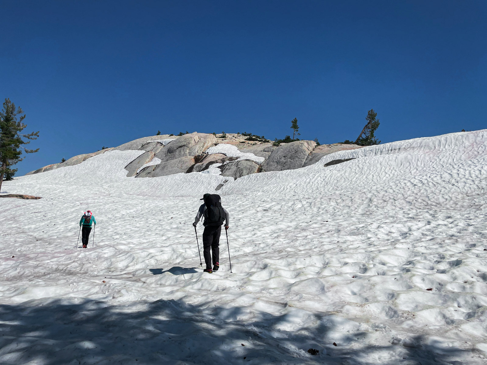
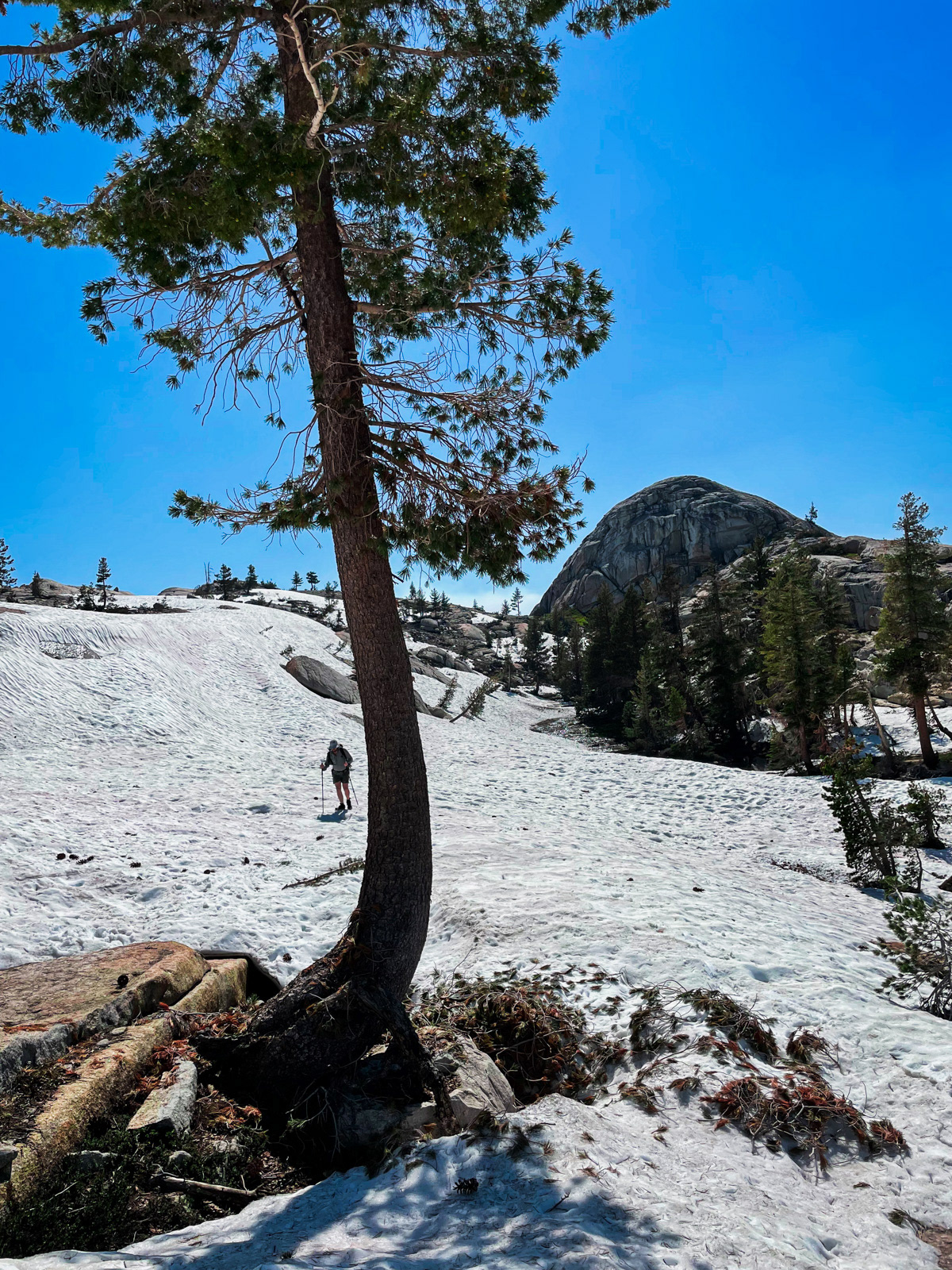
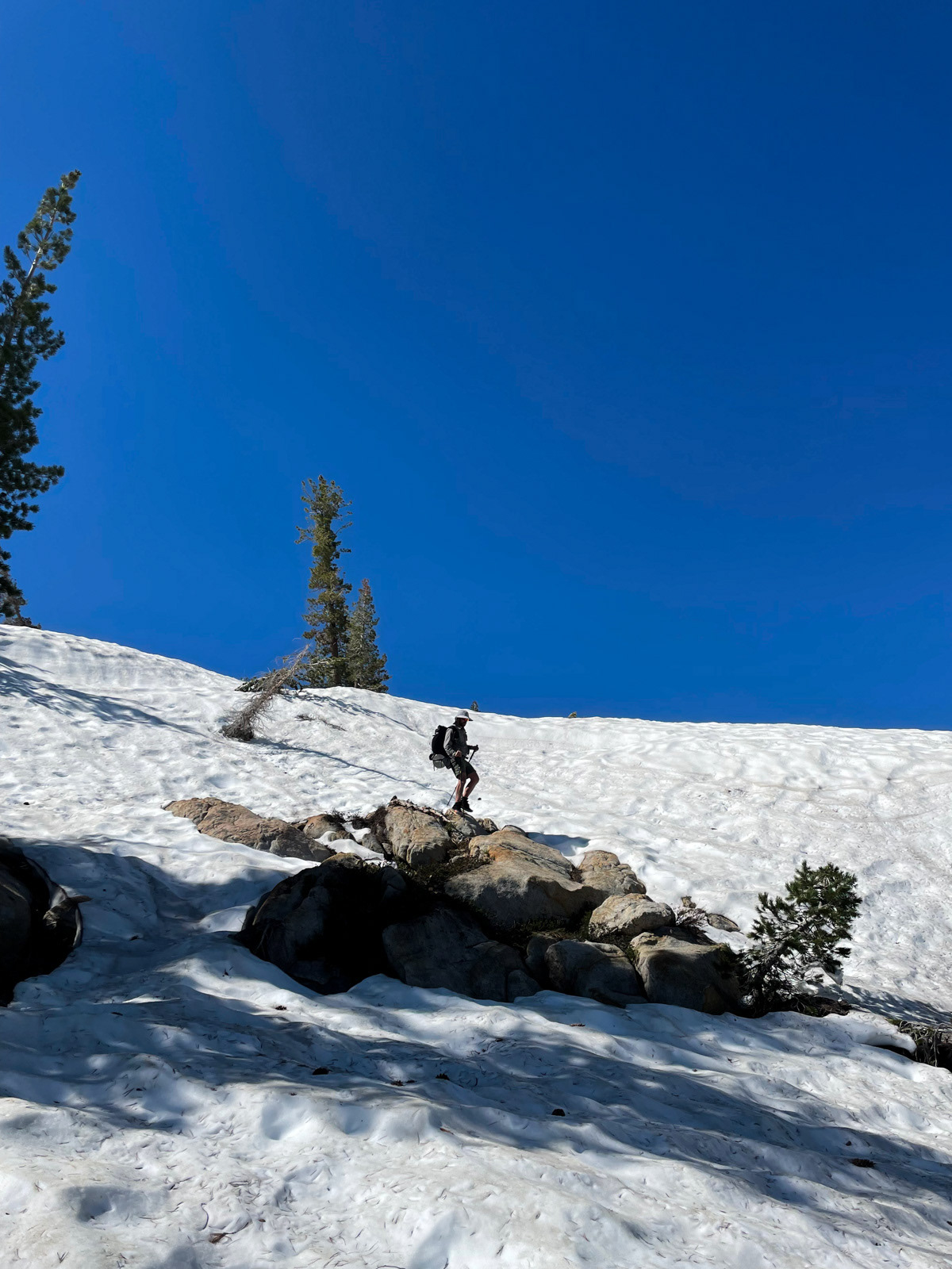
Cherry Creek was absolutely raging to our north, as it shrugged off a historic snow year. We considered dropping down to take in its wild flow, but instead dropped off the east side of Bartlett. We started to encounter more and more snow. It was mushy and a bit slippery in the hot afternoon, but we pushed on without issue.
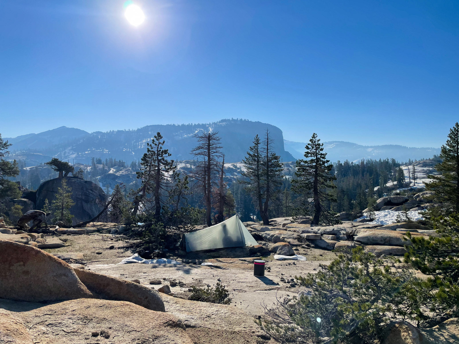
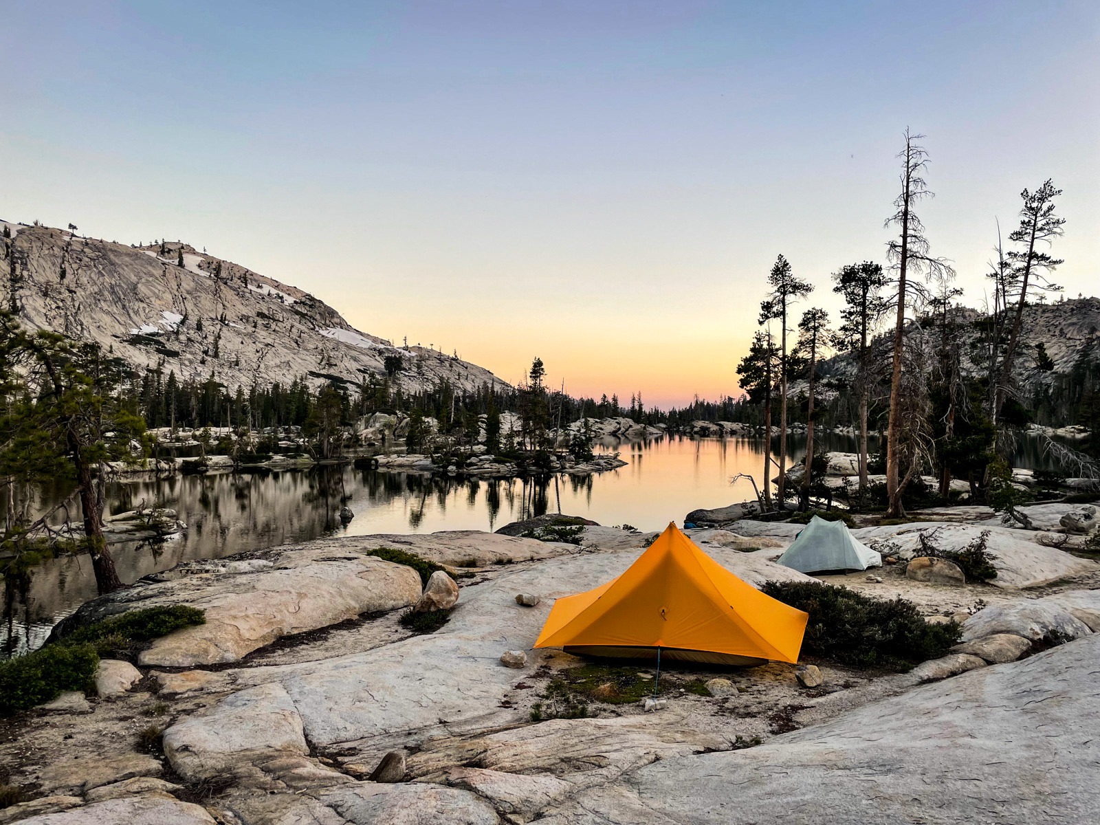
Eventually we popped out above the southern end of the upper Inferno Lake. The terrain had been surprisingly difficult, and we were getting tired. The lake is rimmed by cliffs and already screened in shadow. We weren’t sure how good the camping would be down there, so we set up shop on the slabs above.
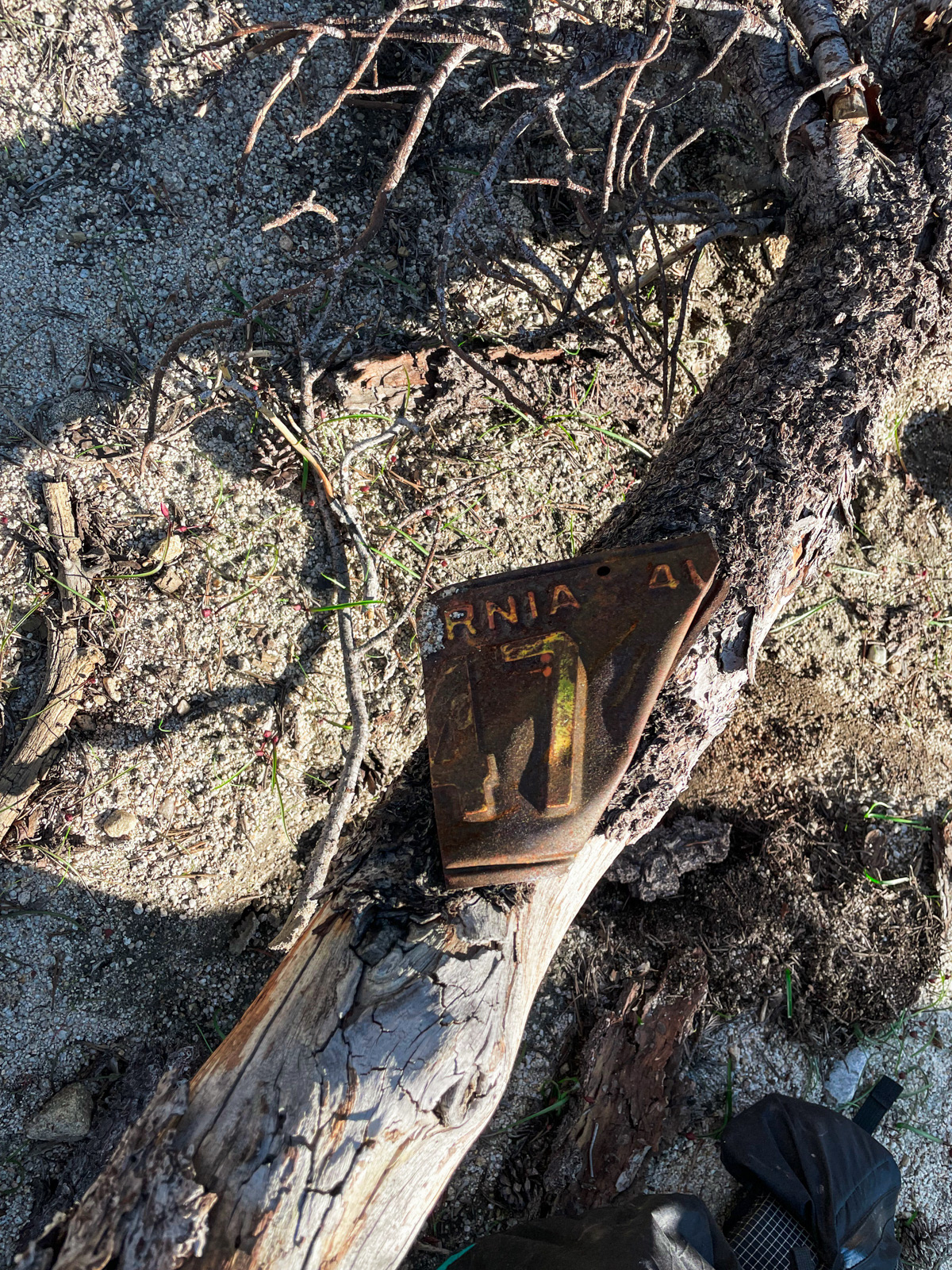
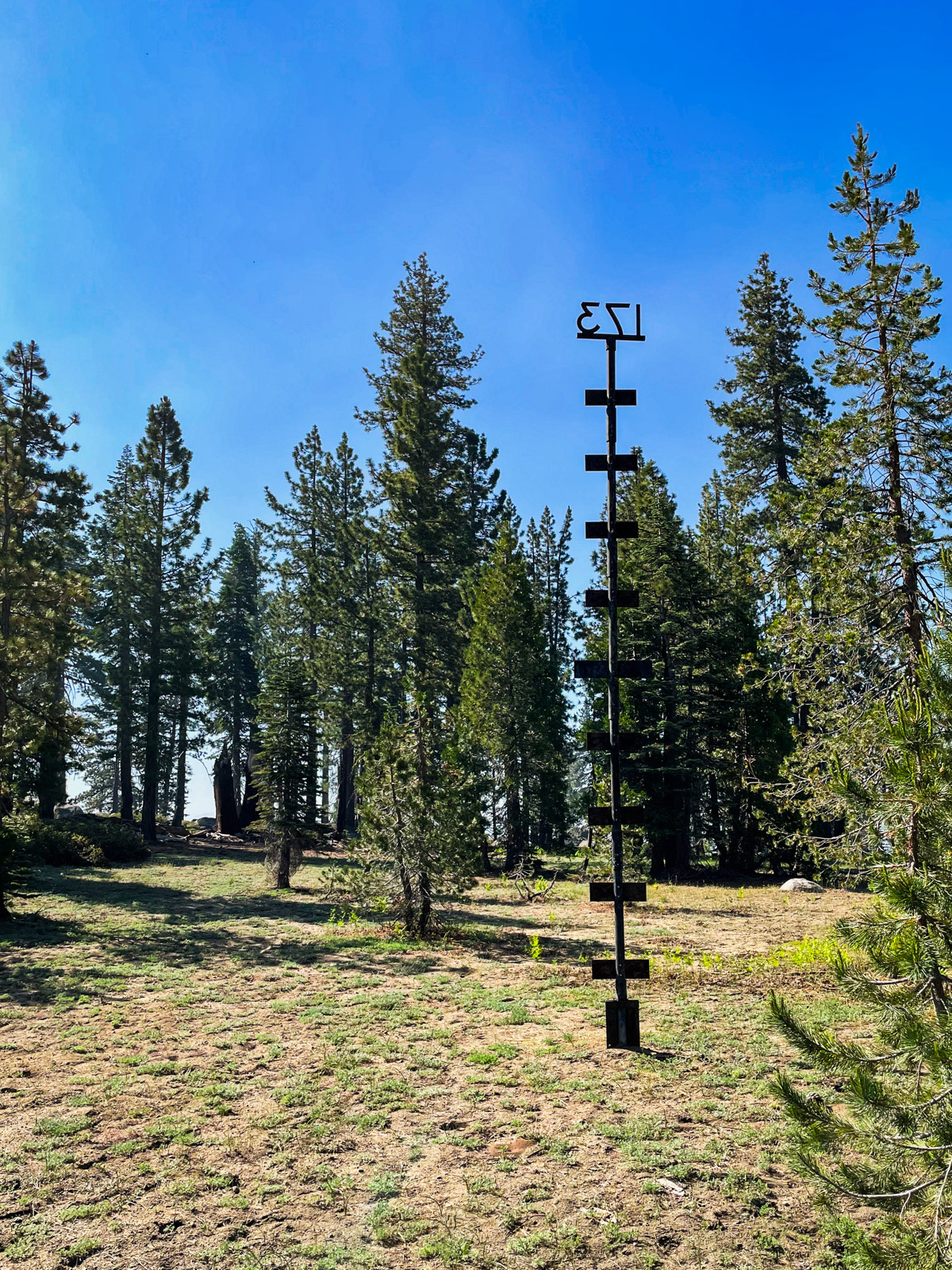
Bugs were minimal. I couldn’t believe it. A warm July evening in the Sierra Nevada without a mosquito hellscape. We had unwittingly timed our trip perfectly. (Also: this was the second old California license plate I saw affixed to a tree?)

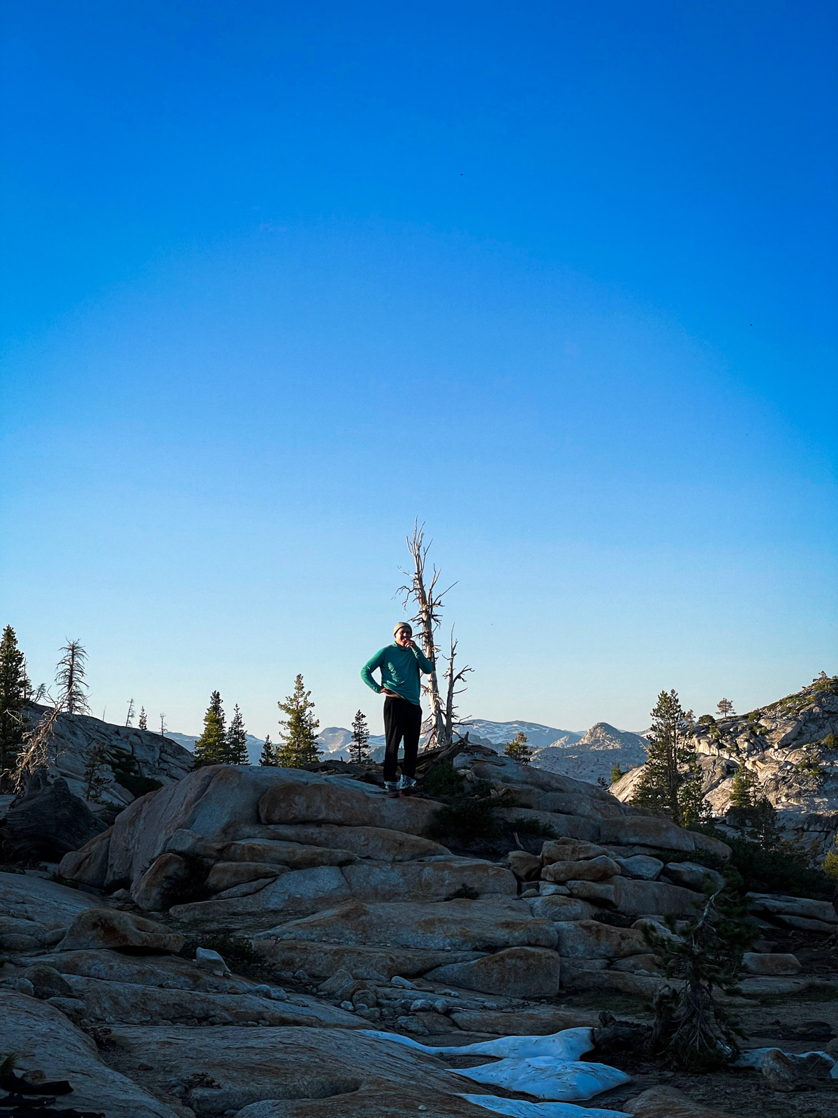
We took a sunset walk up to a nice spot and gazed for miles into Emigrant.
And that was the end of a good, long July day.
It was warm overnight – likely in the 50s. The sun woke us hot and sticky in our tents at 7 AM.
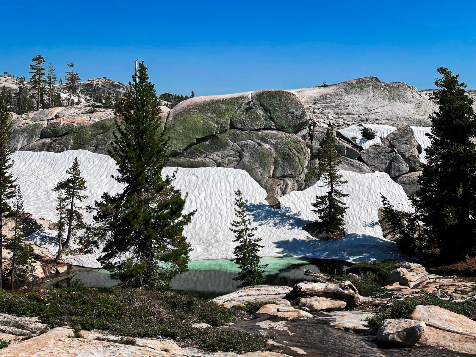
Inferno Lakes are striking but convoluted and full of shaded snow.
We got ourselves up a ridge and scoped out Nance Peak.
The group briefly split into two here, on ideological lines. The "let's climb" team (wrong) went up, and we (right) went down. There was a lot of snow and unfortunately my friend postholed himself straight into a rock that dinged up his calf pretty badly. It... didn't look great. He took stock for a few minutes and was thankfully not much worse for the wear.
We met back up with the full group near the base of the climb to Nance Peak, and off we went up steep but easy forest. I was soon sweating directly into my eyes, usually a clear sign of a tough climb.
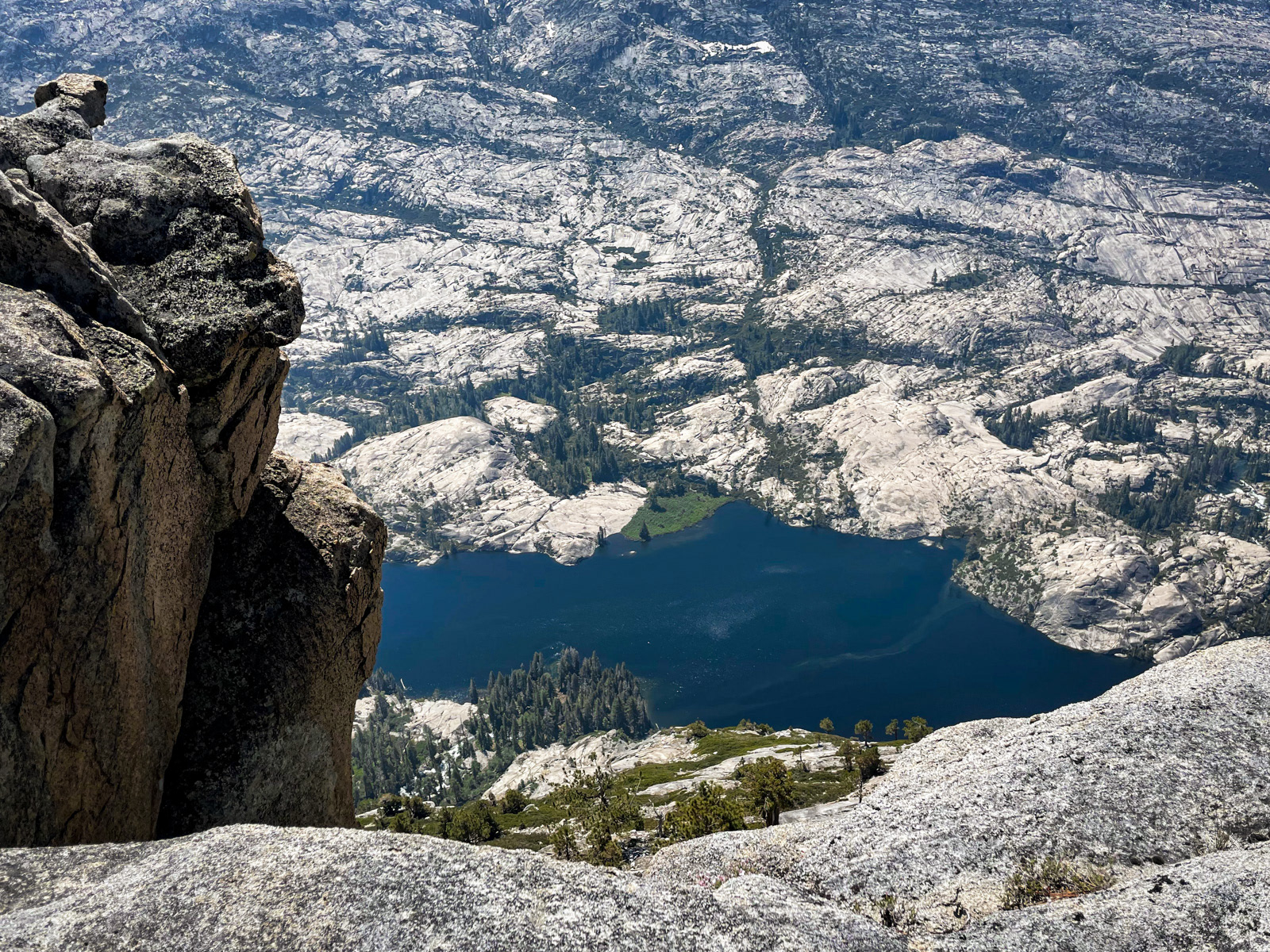
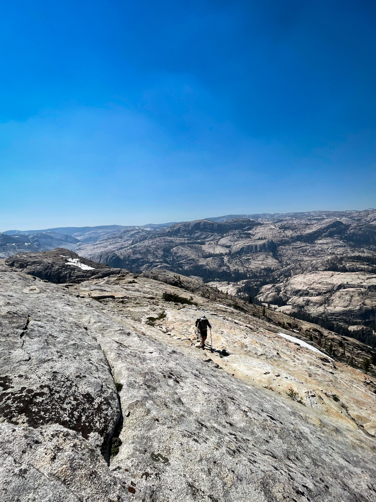
The top of Nance Peak is extraordinary: broad and expansive with a shocking amount of air dropping straight off of its southeast side, 2200 feet down to Edith Lake. It’s impossible to show the scale, but this lake is practically half a mile below us.
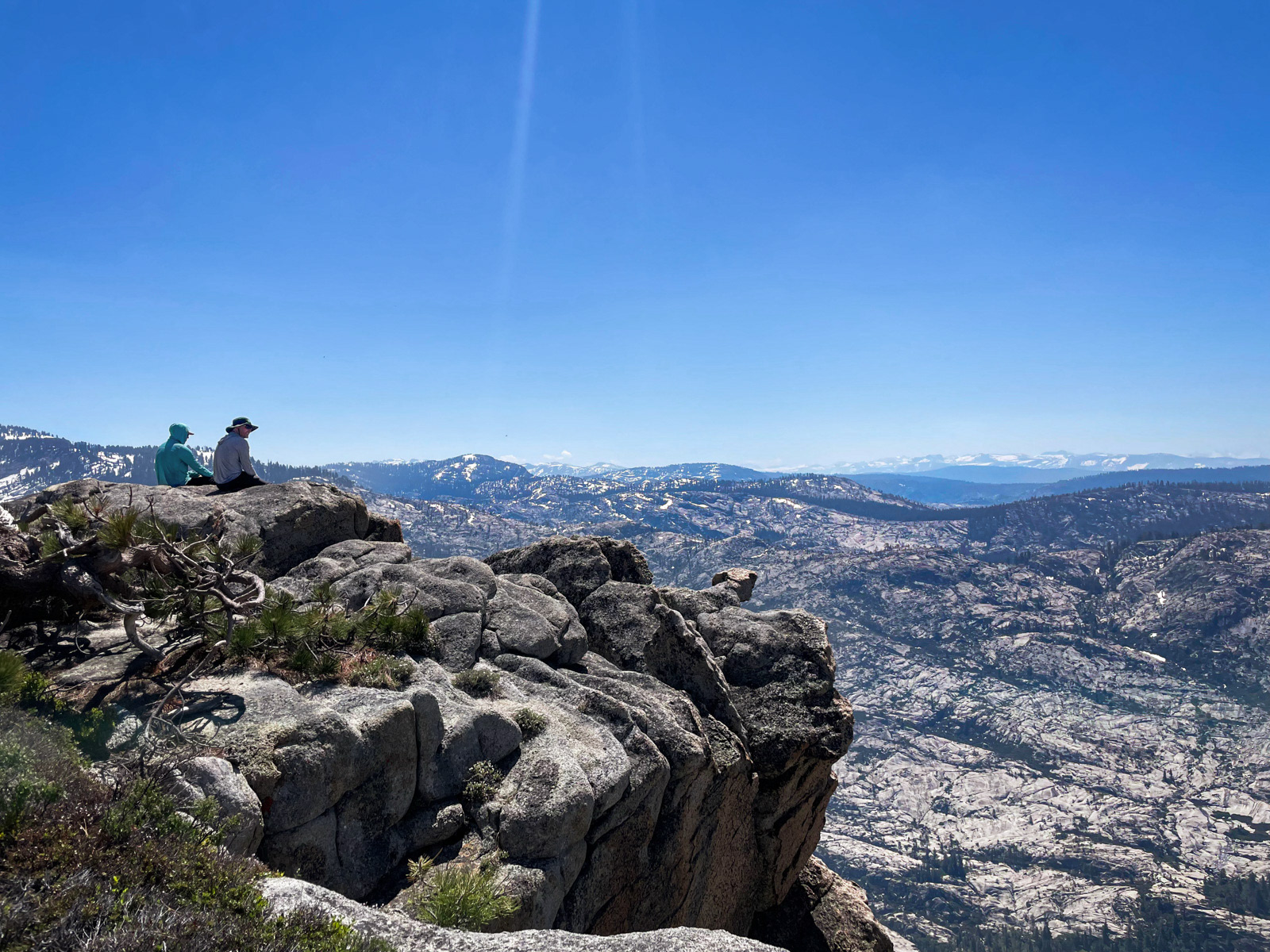
Some people who are not me sat right on the edge.
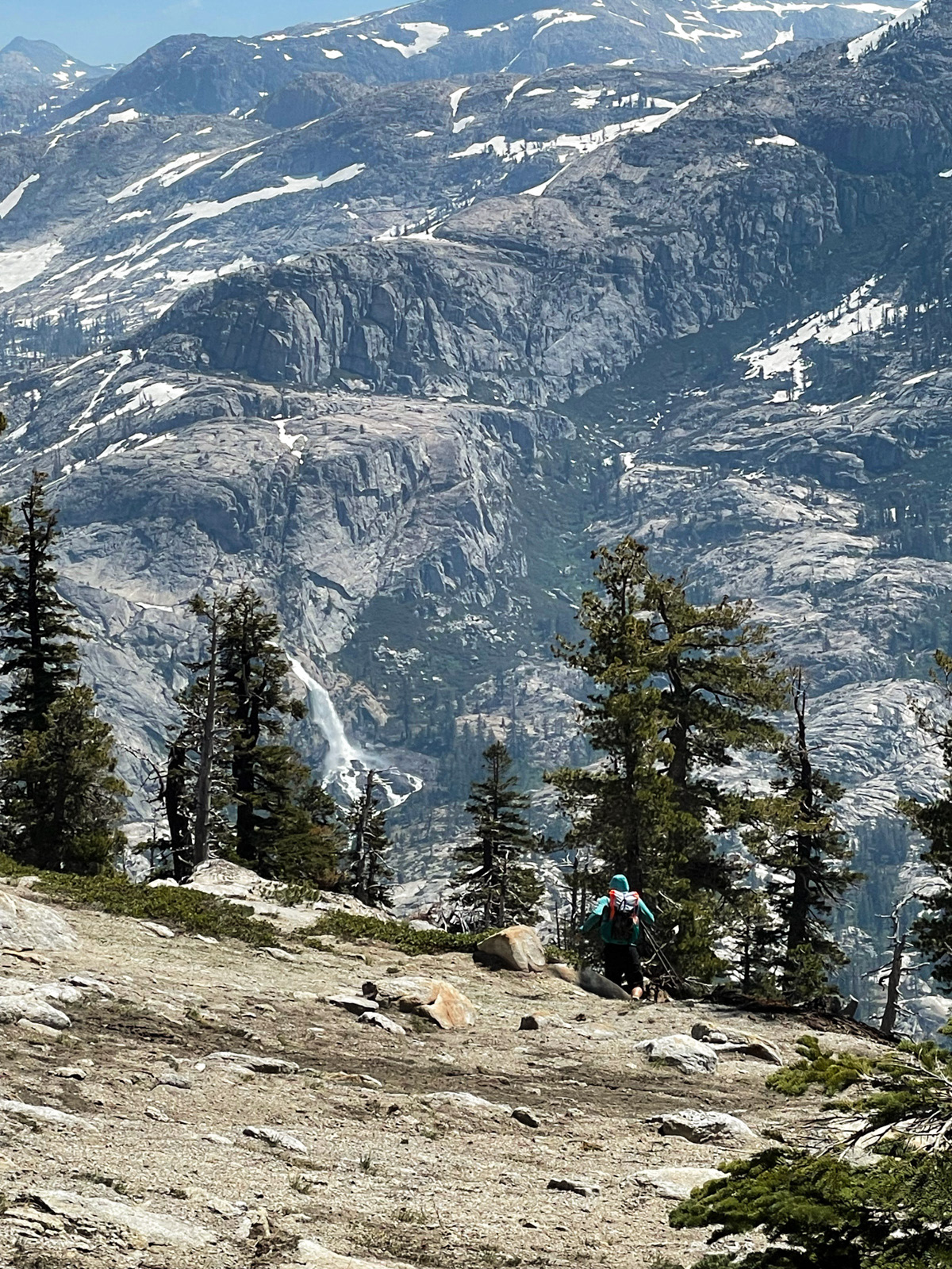
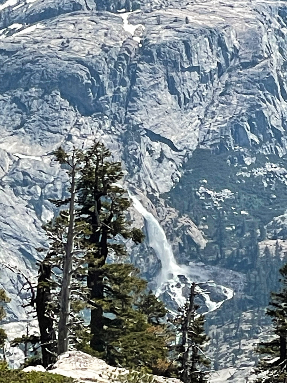
To the northeast was an insane, far off view of a waterfall booming down Kendrick Creek. It simply won’t show up properly in a photo, but it was incredible.
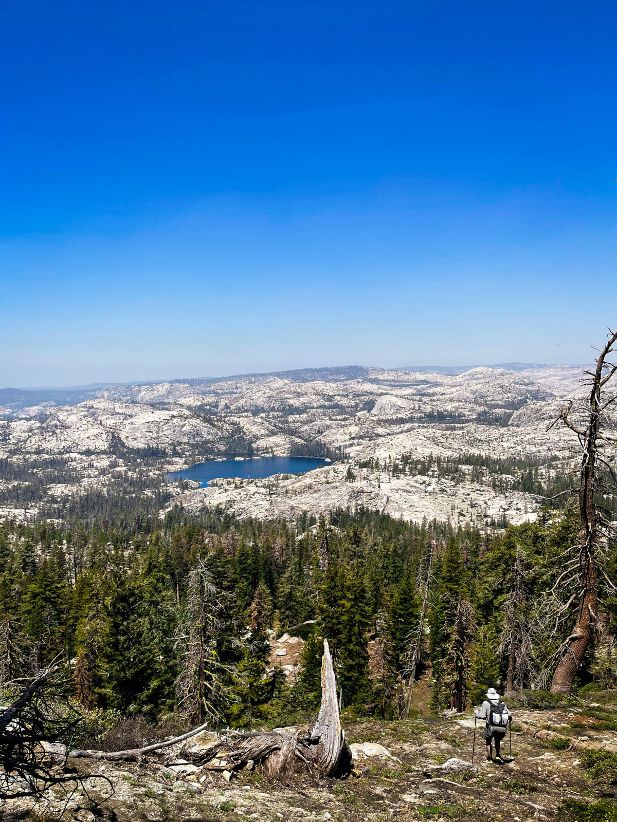
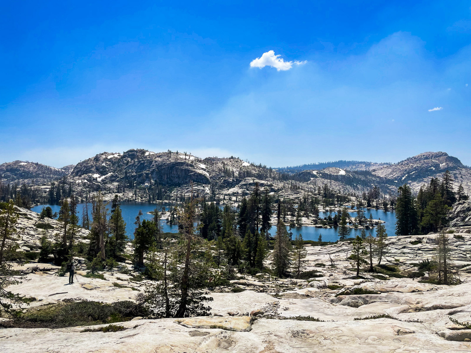
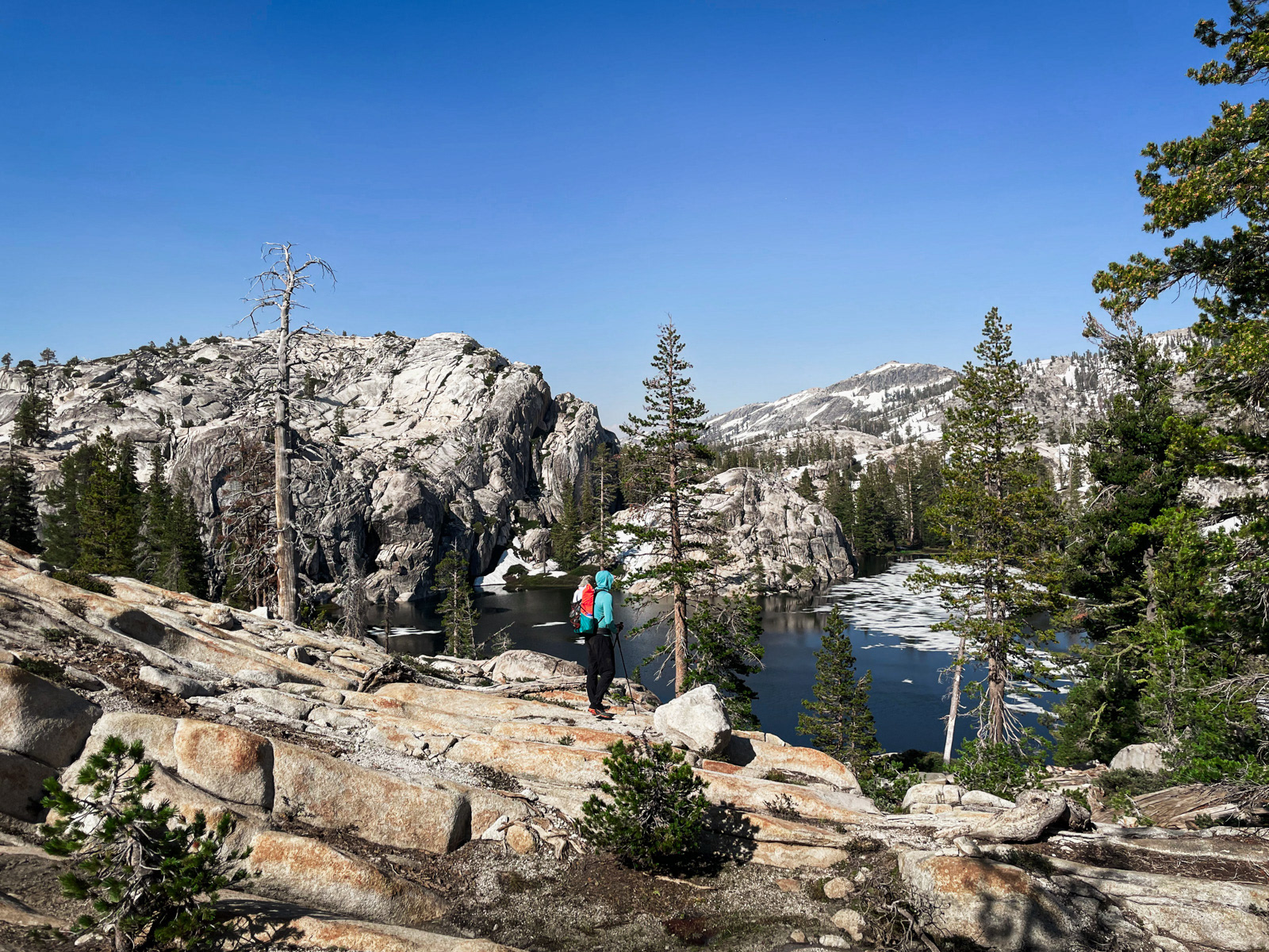
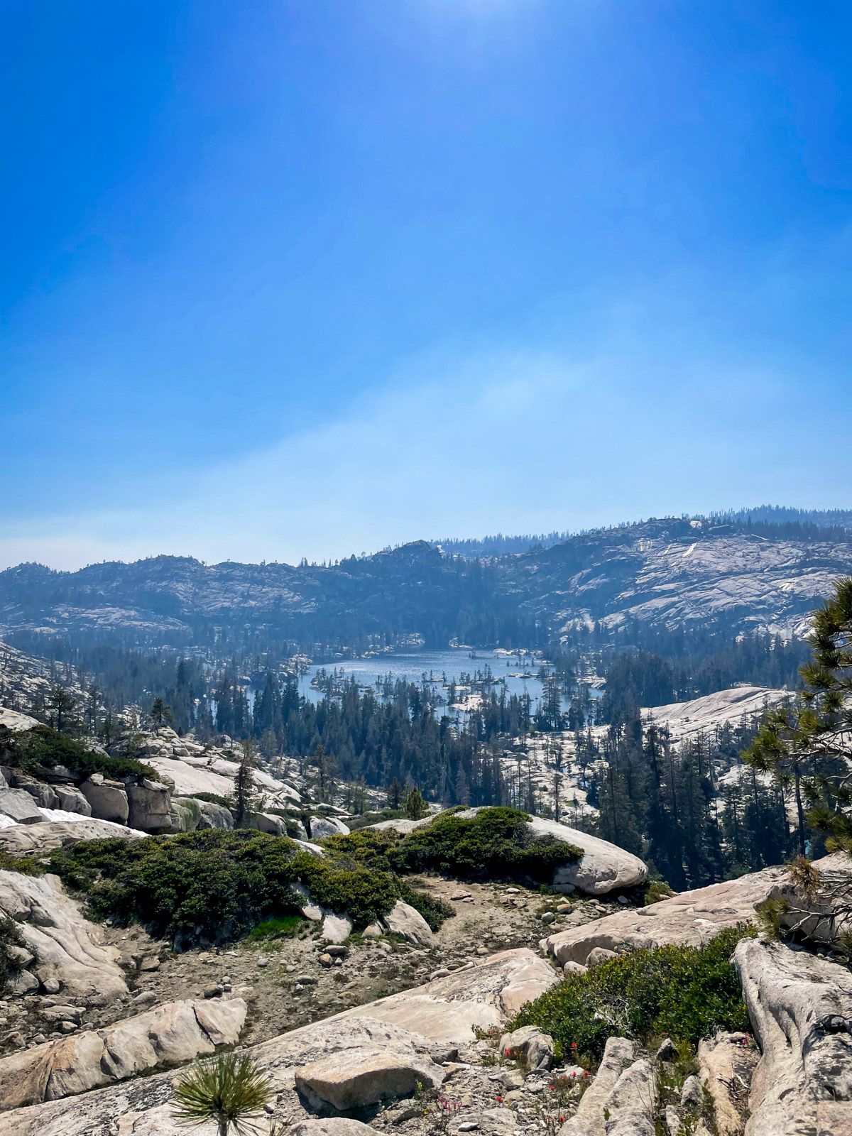
Eventually we dropped back down the way we came, and on to Spotted Fawn Lake (in the center of this photo). The going was both easy and sort of annoying in a boulder/brush kind of way.
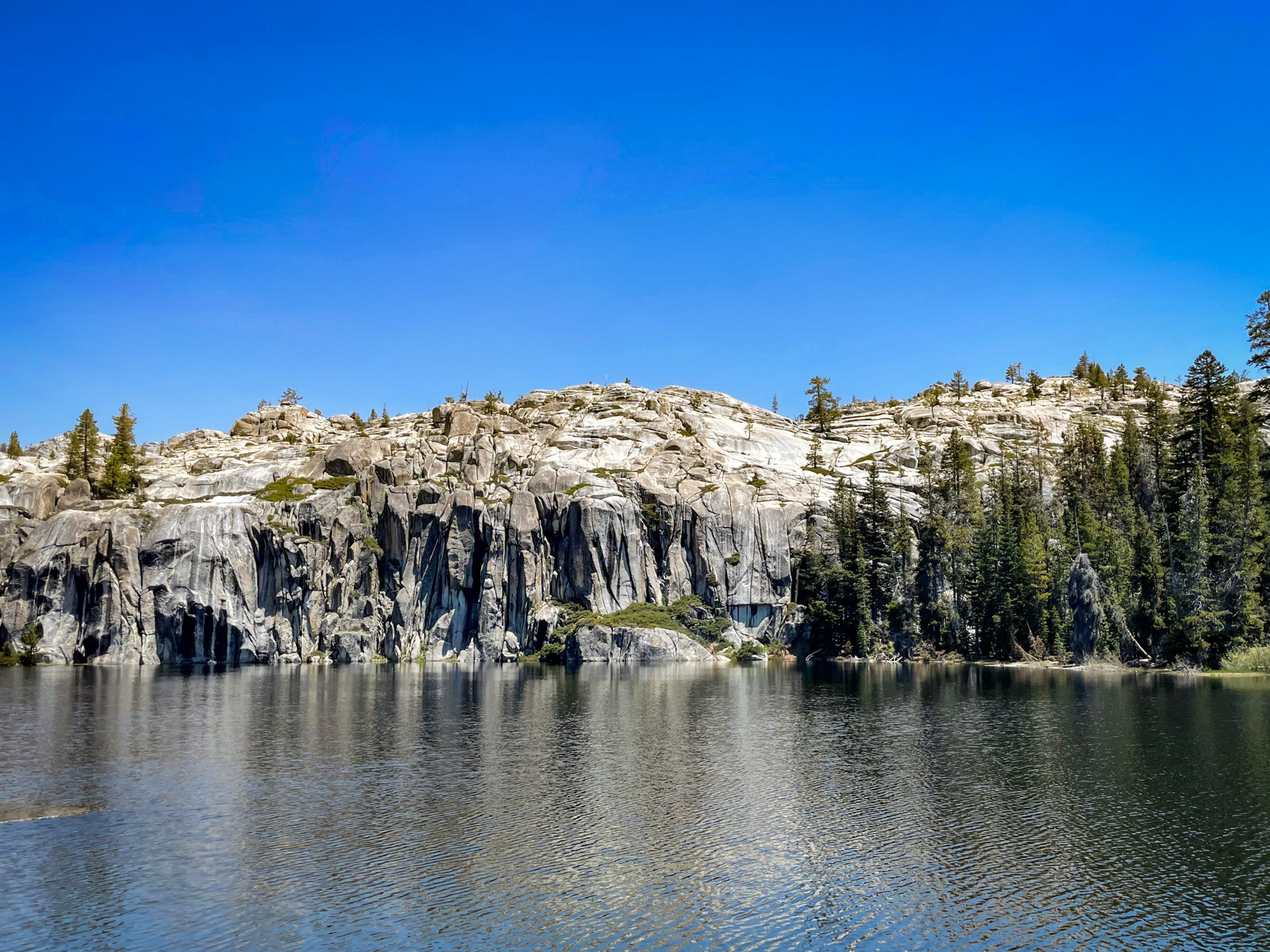
We paused at Spotted Fawn for lunch and a swim. The east side of the lake is interrupted by impressive cliffs.
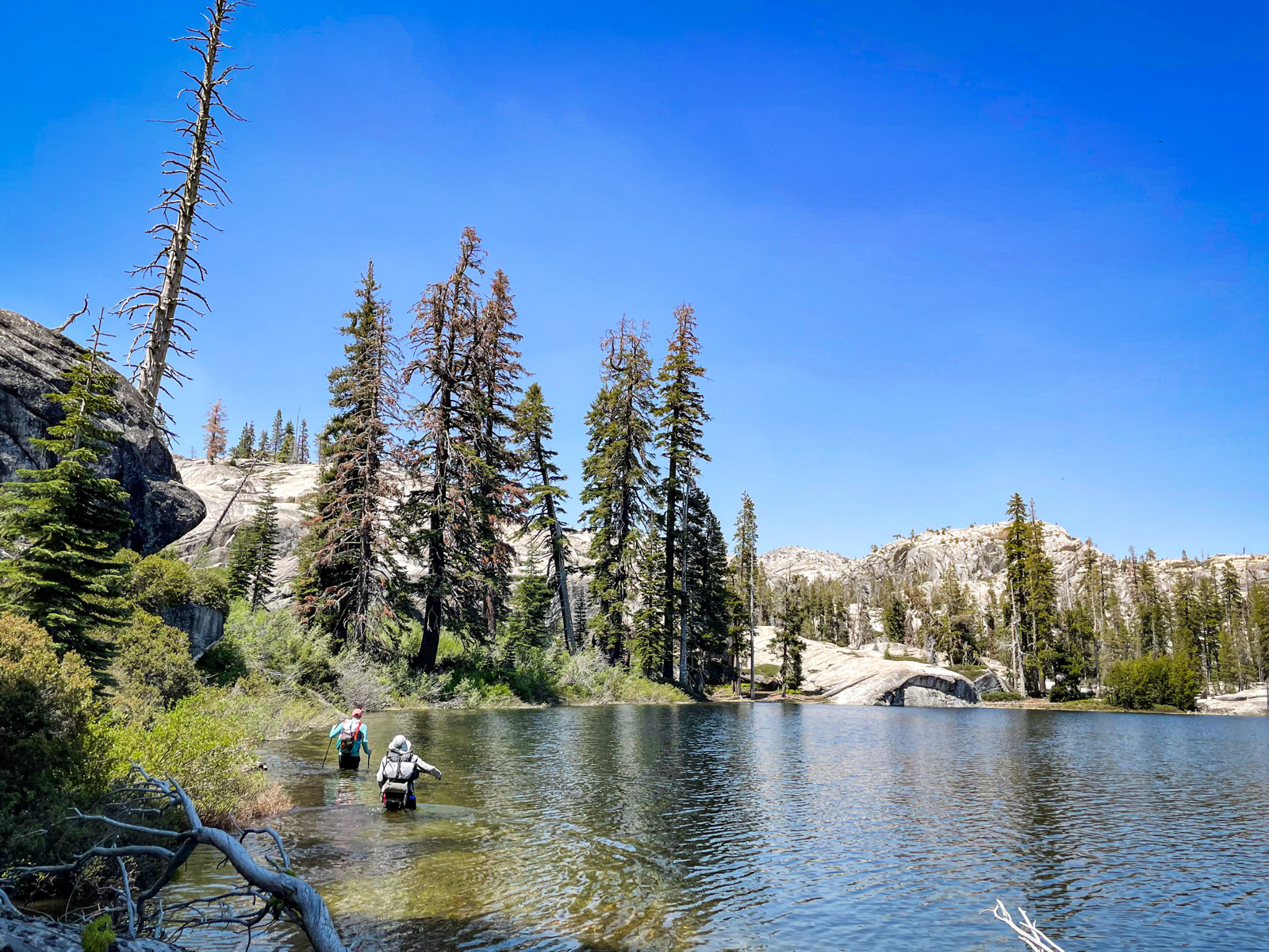
We worked our way around the west side of the lake, which is so brushy that we waded the entire way. At one point the water was deep enough to lick the bottom of our packs. All praises due to the nyloflume gods for keeping our stuff dry.
We followed the slabs up toward Little Bear Lake.
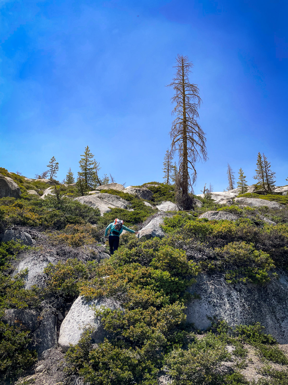
As was becoming familiar for the area, we found ourselves navigating more bouldery/brushy zones.
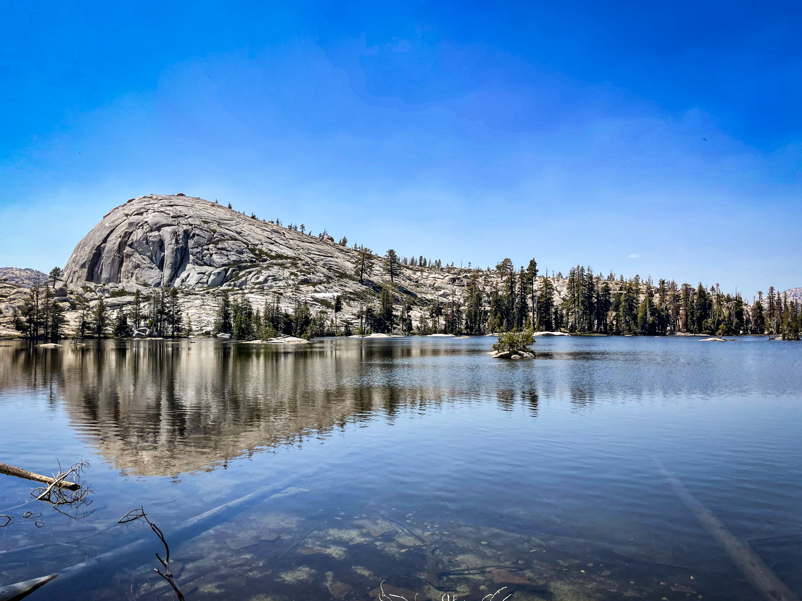
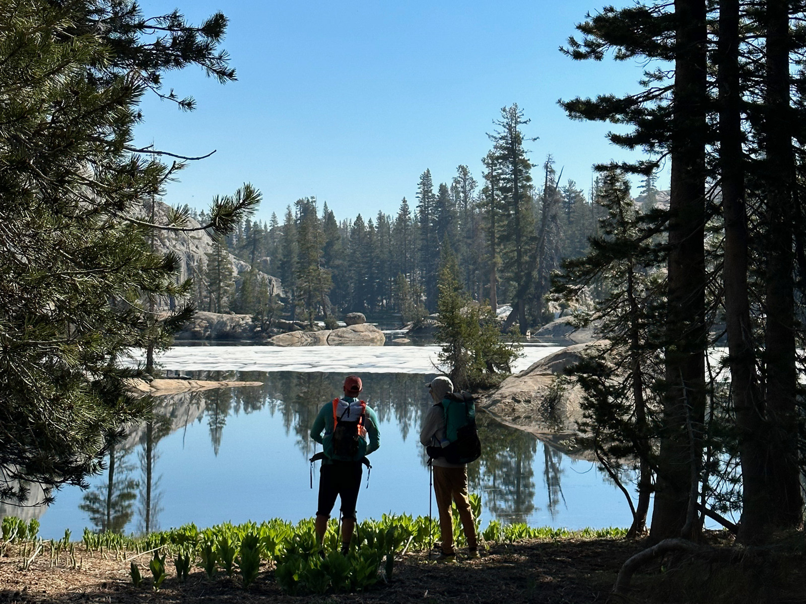
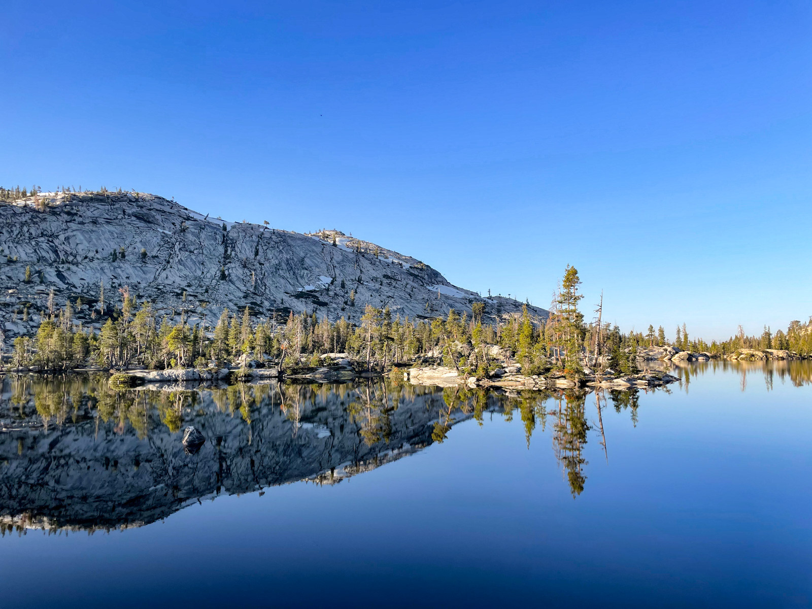
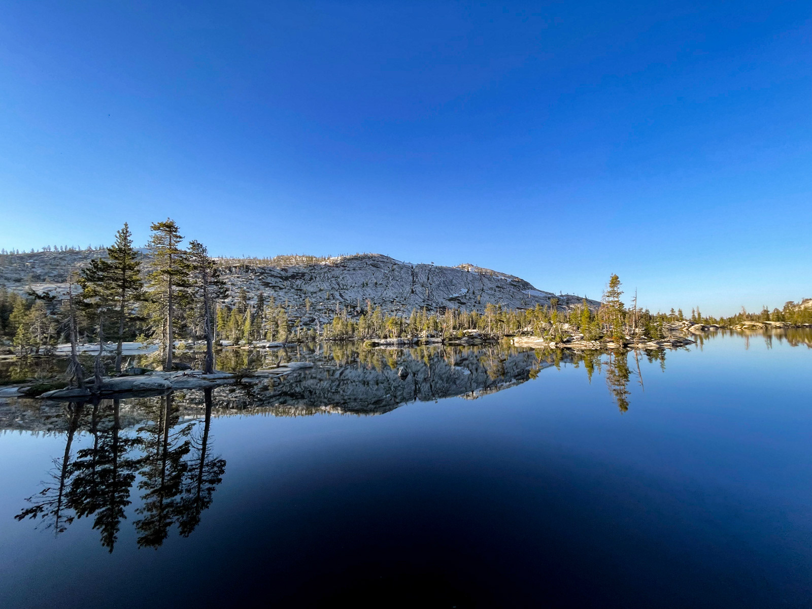
Little Bear Lake.
At this point we pulled out the maps, as we had no specific plans.
There was something about the look of the wide contours along Little Bear’s outlet stream that reminded me of Yellowhammer Lake’s outlet a few miles north. It's one of my favorite places in Emigrant, so off we went.
Folks, it doesn’t happen often -- but I was so right.
Some of us are peakbaggers, thru hikers, climbers, mountaineers. But I will always be a Basin Boy. Smooth slabs, soft grasses, and a creek meandering slowly from here to there – there is nothing better.
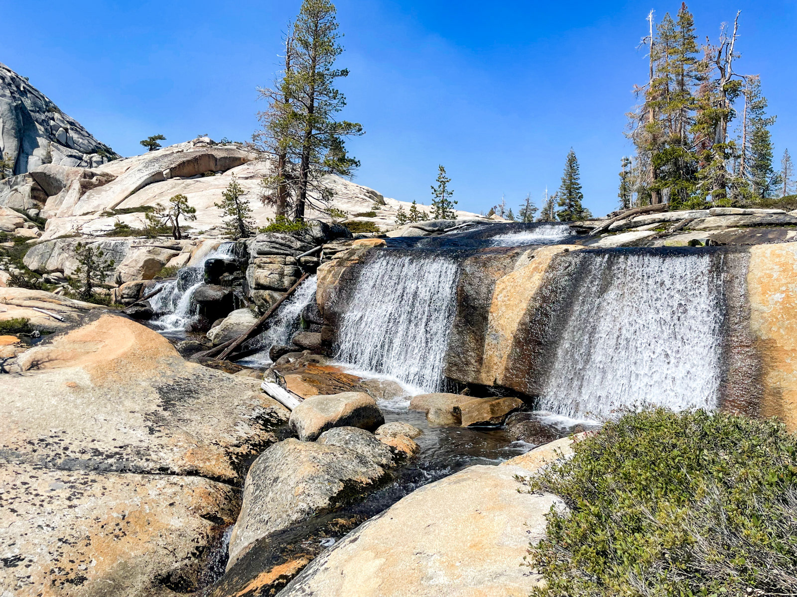
Not to mention this glorious multi-streamed waterfall.
We bottomed out at Bartlett Creek, and were immediately thrust into one of the more deranged terrains (non-talus category) that I’ve encountered in the Sierra. While it looks benign on the map, this group of small lakes are full of mini cliffs, and multitudinous lake arms that must be negotiated. We wandered, seemingly in circles, for a while before finally pausing at a small pond to regroup.
We had initially considered continuing west and meeting up with the outlet stream of Many Island Lake, but instead decided to head north past more Bartlett Lakes and meet Many Island at its northern shore.
The walk was not particularly memorable for us. We might have had more luck heading west as described above. But eventually we popped out above Many Island, followed a break in the cliffs down, and set up along the lake’s northern edge.
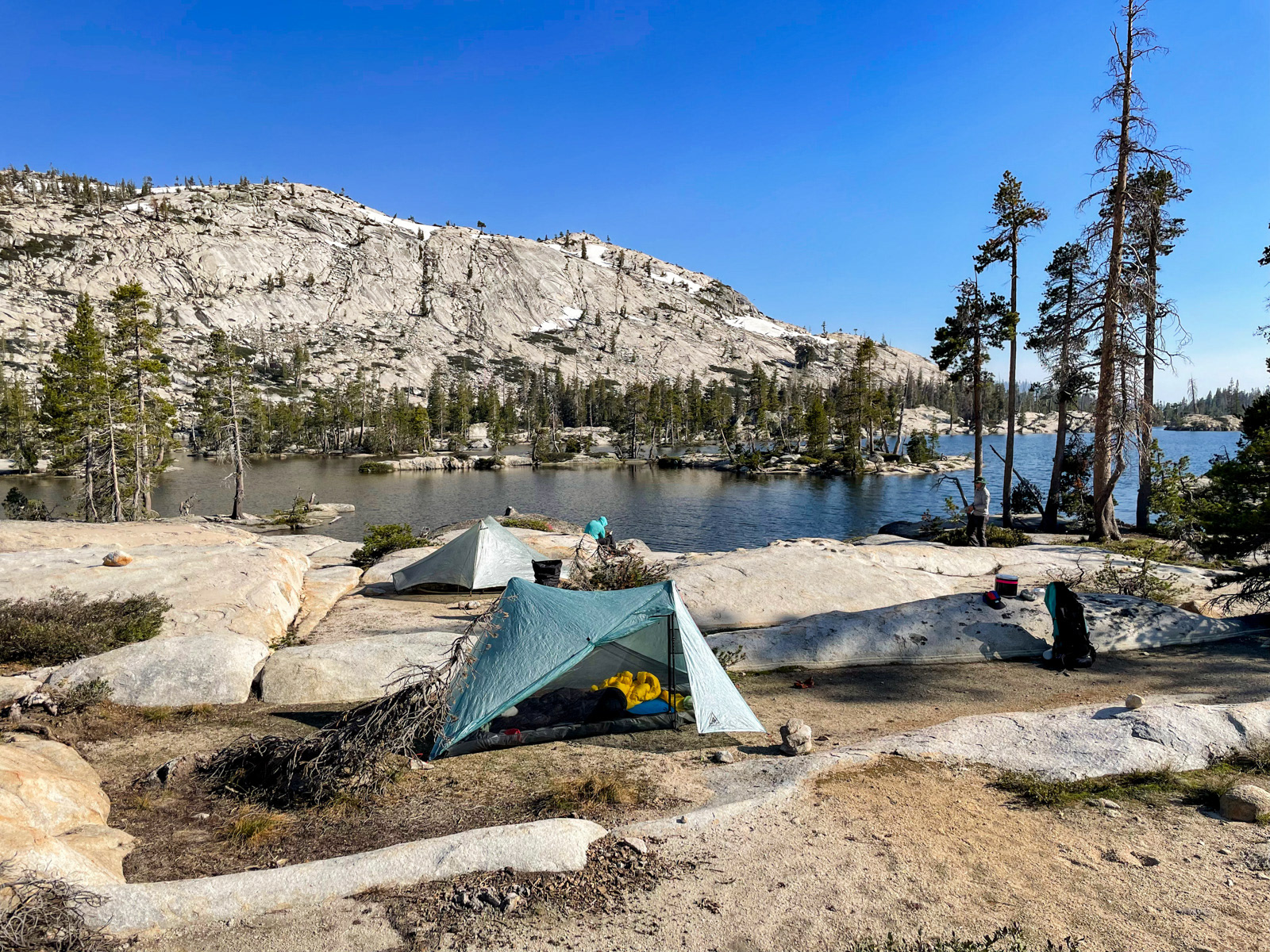
Many Island Lake is the closest one to Kibbie Ridge, and looks to receive a lot of attention, but we had it to ourselves this night.
More glorious slabs.
The mosquitos were starting to swarm here, but weren’t quite ready to bite. Again, we had somehow timed our trip perfectly in this unusual ultra-high snow year. These things must be celebrated!
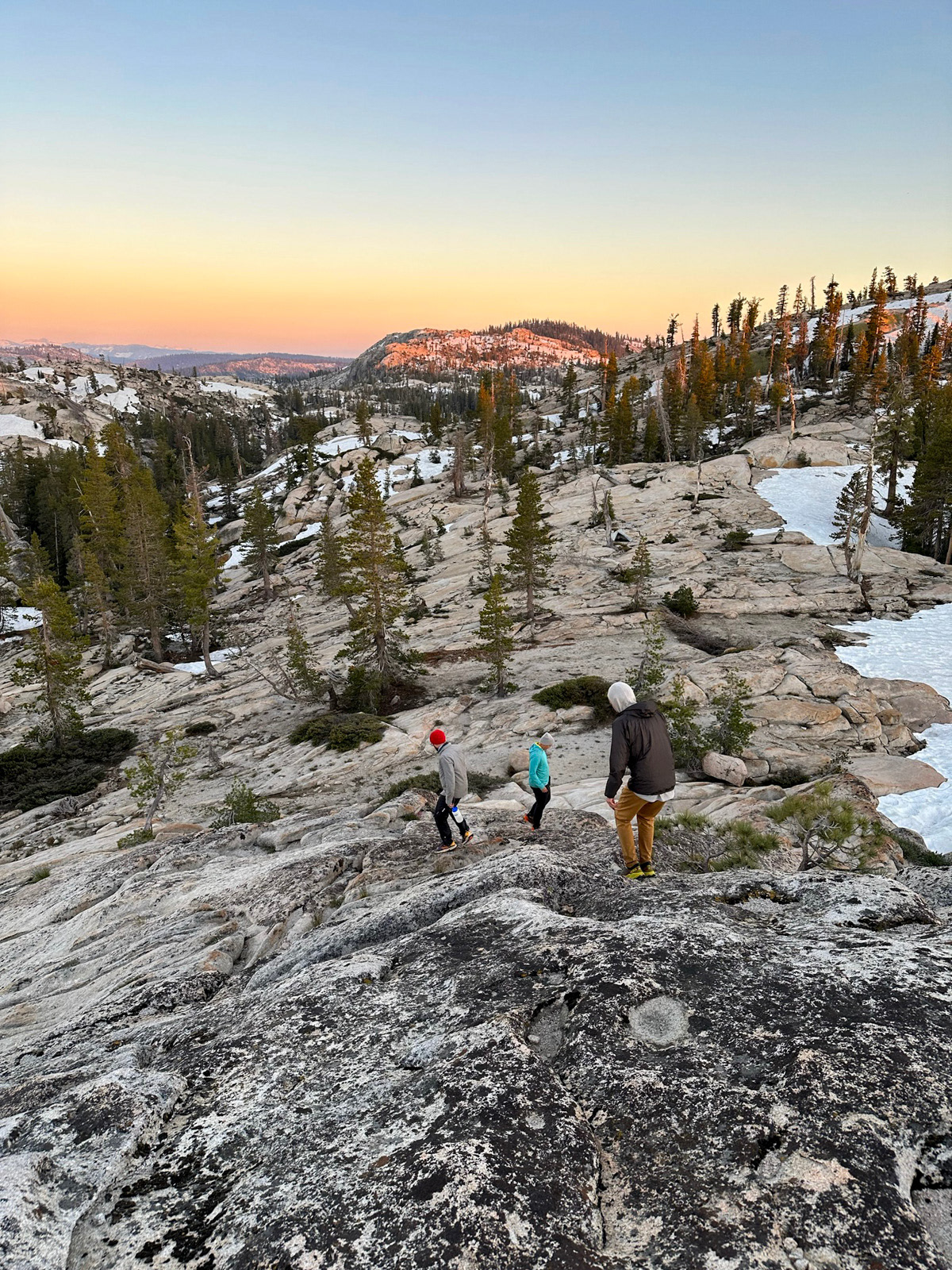
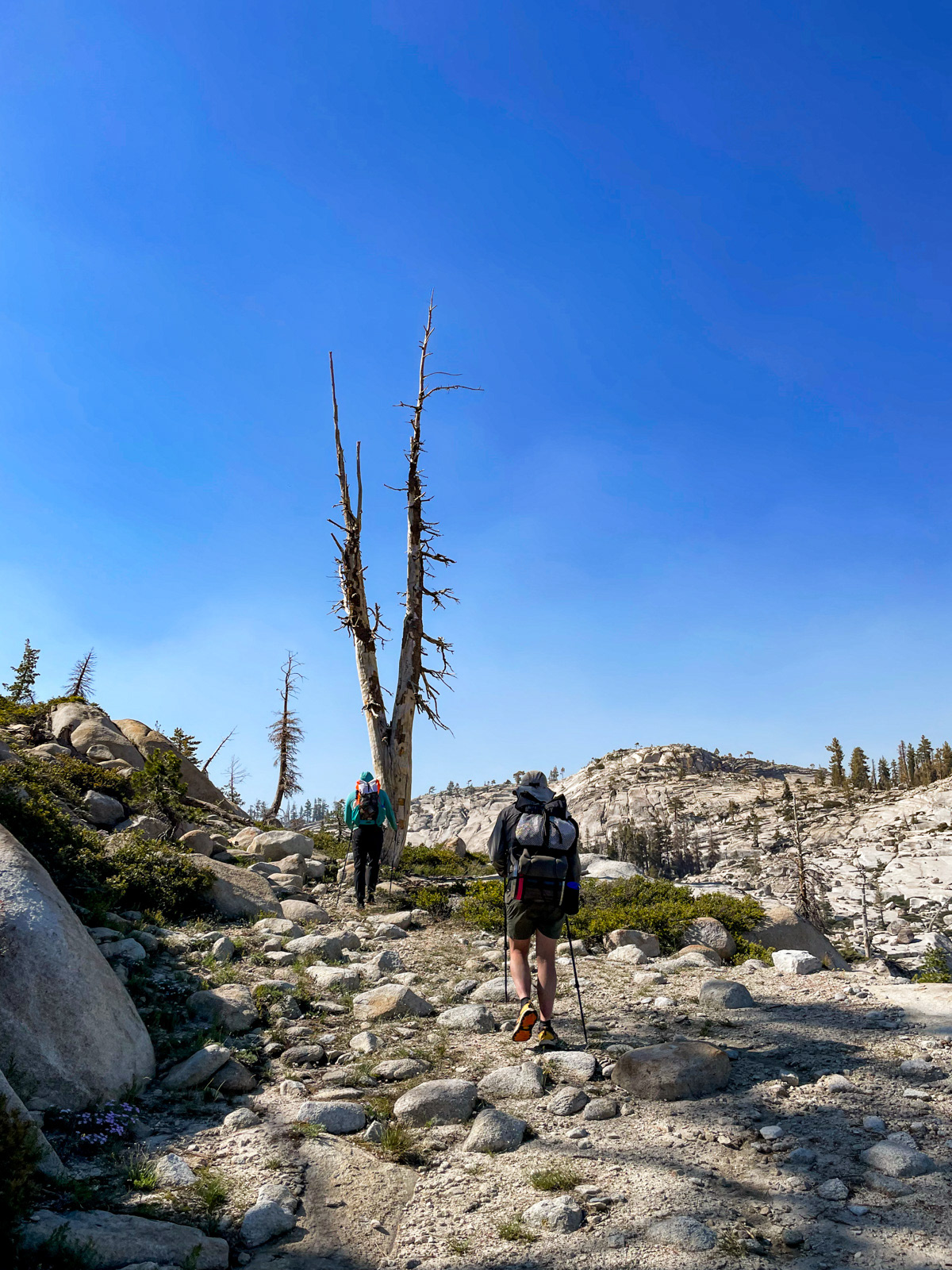
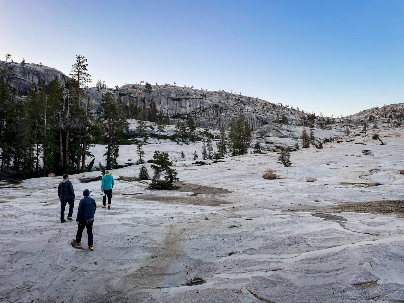
We were out by 8, sweating into the windless morning. The slabs up to the mini pass were beautiful.
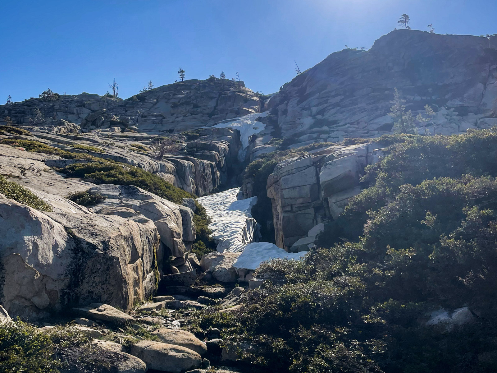
After all that smooth granite, there are two or three deep seams to negotiate near the top.
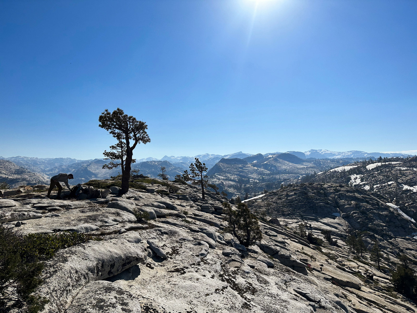
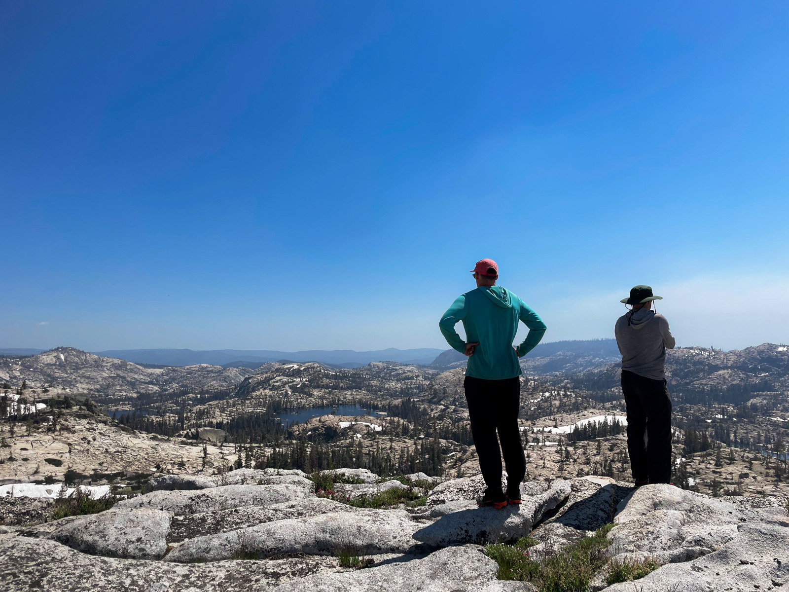
We climbed up a little dome and had amazing views across much of what we had traveled.
From there it was mostly a speed walk back through the forest. The brush was still brushy, but subjectively didn’t seem as bad on the way back.
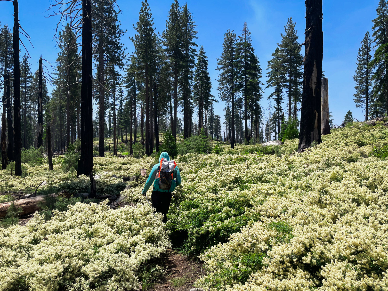
Mountain white thorn was blooming everywhere.
We made it back to the car by a little after noon, and were back to the world shortly.